
Czupel - Trails to the Highest Peak of the Beskid Mały
Czupel (930 m) is the highest peak of the Beskid Mały mountain range. It is located in the Magurka Wilkowicka range, between Lake Międzybrodzkie and Lake Żywieckie. Are you collecting peaks for the Crown of Polish Mountains or the Crown of the Beskids? Take a trip to Czupel!
Czupel - Peak of the Crown of Polish Mountains and the Crown of the Beskids
The summit of Czupel is forested (apparently, you can catch a glimpse of something from it from late autumn to early spring). On the way to Czupel, you will find viewpoints, including views of Skrzyczne, Pilsko, and Babia Góra, on the clearings.
Czupel - 2 Peaks
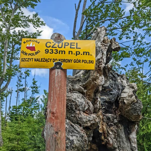
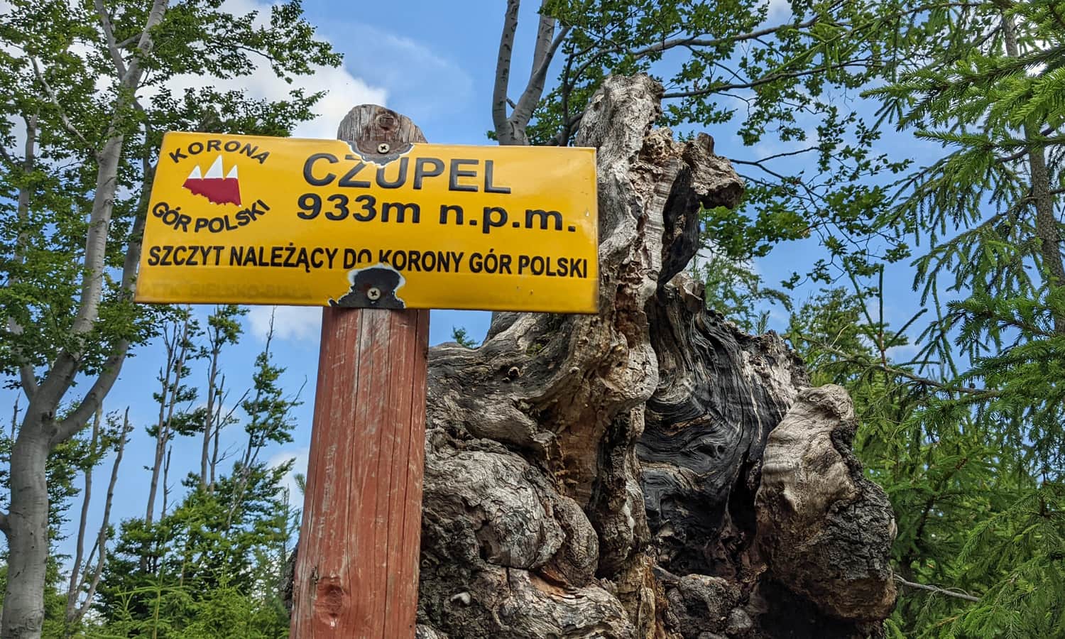
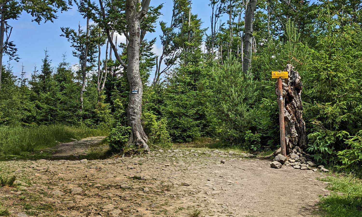
There are two signs indicating the summit, located a few meters apart (see photos on the map): one with benches and tables, and the other without. To be sure, let's "visit" both!
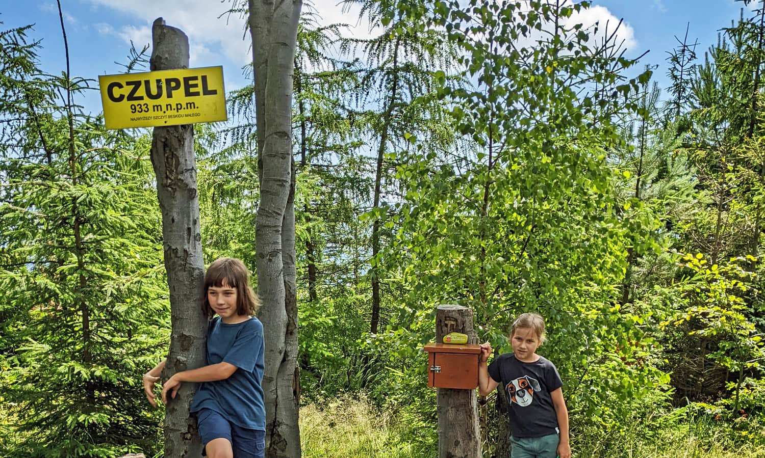
One of the signs also has a small box with a commemorative stamp inside.
...and here is the second sign, the second peak?
How to Reach Czupel?
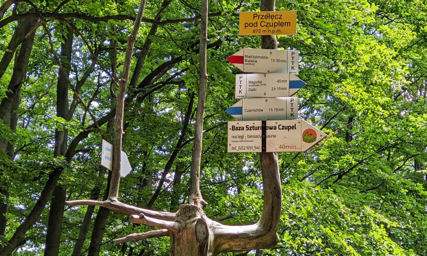
There are many routes to choose from: from Międzybrodzie Bialskie (red), from Czernichów (blue or green + yellow + red), from Łodygowice (red or green + yellow + red), from Wilkowice (black + blue or green + blue), from Przegibek Pass (blue), or from Bielsko-Biała (red/black + blue).
Trails to Czupel
With such a wealth of colorful trails, which route should you choose?
Easiest Trail to Czupel
The easiest route to Czupel, with the least elevation gain, starts from Przegibek Pass (parking) through Magurka Wilkowicka, which includes this section:
Medium
From Przełęcz Przegibek to Magurka Wilkowicka

and this:
Easy
Magurka Wilkowicka - Czupel

In total, it is less than 5 km and only about 350 m of elevation gain. This is a route suitable for everyone, including the youngest and least experienced hikers. Plus, you can stop at the PTTK shelter on Magurka Wilkowicka.
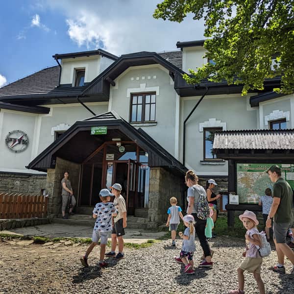
Magurka Wilkowicka - shelter, trails to the peak
Magurka Wilkowicka is a peak in the Little Beskids, located between Bielsko-Biała and Wilkowice in the west, and Lake Międzybrodzkie and Lake Żywieckie in the east. ...
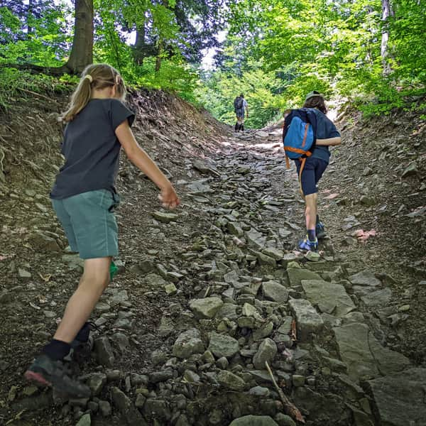
Shortest Trail to Czupel
The shortest trails to the summit of Czupel start from Międzybrodzie Bialskie and Czernichów - both are less than 4 km with an elevation gain of about 550 m. However, please note that the northern and eastern slopes of Czupel are steep and may surprise those who think that the Beskid trails are always easy and pleasant...
Medium
Z Czernichowa na Czupel - niebieski szlak

Czupel - Loop Trails
If you don't like returning the same way, when conquering the summit of Czupel, you have several loop options:
- From Czernichów: the aforementioned blue trail > CZUPEL > red + yellow + green
- From Łodygowice: green trail > yellow trail > red trail > CZUPEL > red trail
- From Międzybrodzie Bialskie: red trail > CZUPEL > blue trail > Magurka Wilkowicka > yellow trail
- From Wilkowice: black trail > blue trail > CZUPEL > blue trail > Magurka Wilkowicka > green trail
Czupel - Fun Facts
* Did you know that Czupel was not always considered the highest peak of the Beskid Mały? Previously, that title belonged to Łamana Skała / Mladahora (929 m), located between Potrójna and Leskowiec. The difference is actually very small, within the margin of measurement error. Especially since according to the latest measurements, Czupel is not 933 m (as stated on the signs) but only 930 m above sea level.
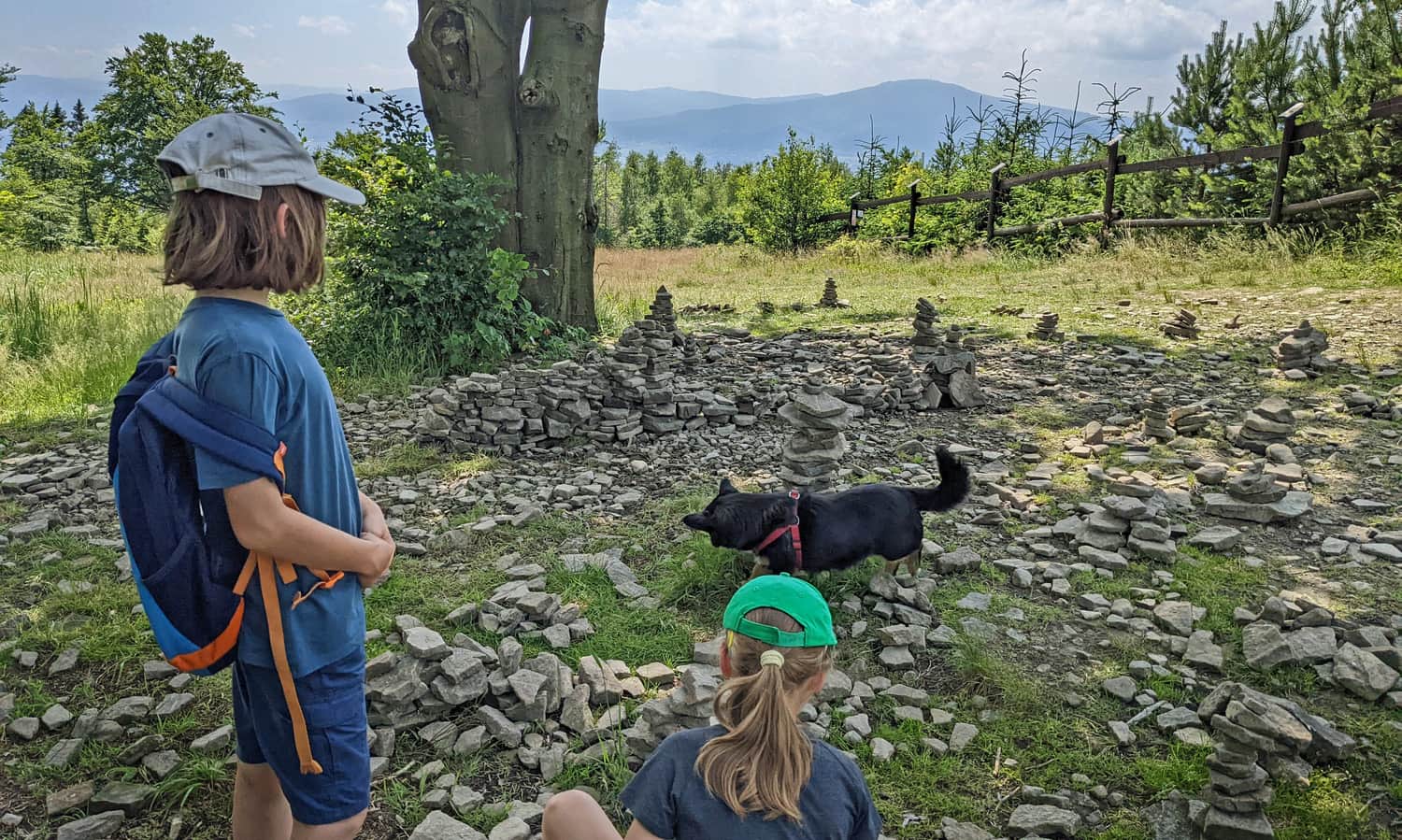
* On the way to Czupel, you can see kródy - stone walls made from stones collected from former mountain pastures.
* Along the red trail to Czupel from Łodygowice, you will find the Devil's Stone, which is surrounded by many legends. It is said that a devil lived here and threw stones at another devil from Skrzyczne. Unfortunately, the latter had more accurate throws... Or maybe the stone was dropped by devils who were supposed to throw it at the church in Łodygowice? Perhaps it was meant to be used for building a devil's mill on Skrzyczne, but it was lost along the way?

Publish Date:
Last Updated: