
All roads and trails to Tarnica
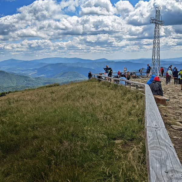
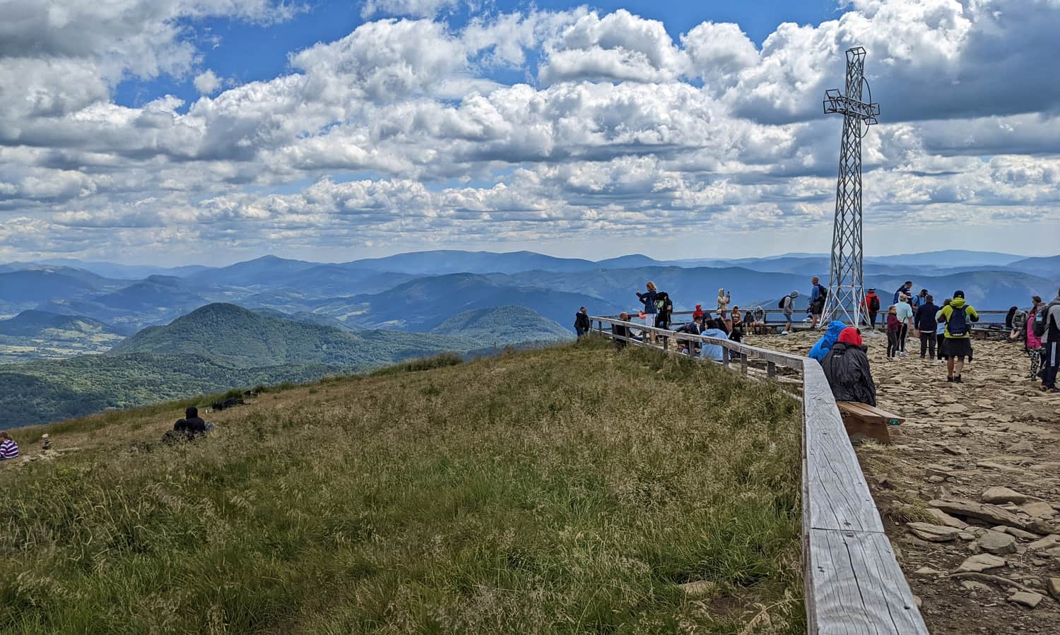
Tarnica is the highest peak of the Polish Bieszczady Mountains (1346 meters above sea level) and is part of the Crown of Polish Mountains and the Crown of Beskidy Mountains. It is a must-visit destination for hiking in the Bieszczady region, known for its beautiful views... and the queue to take a photo "with the cross."
How to climb Tarnica?
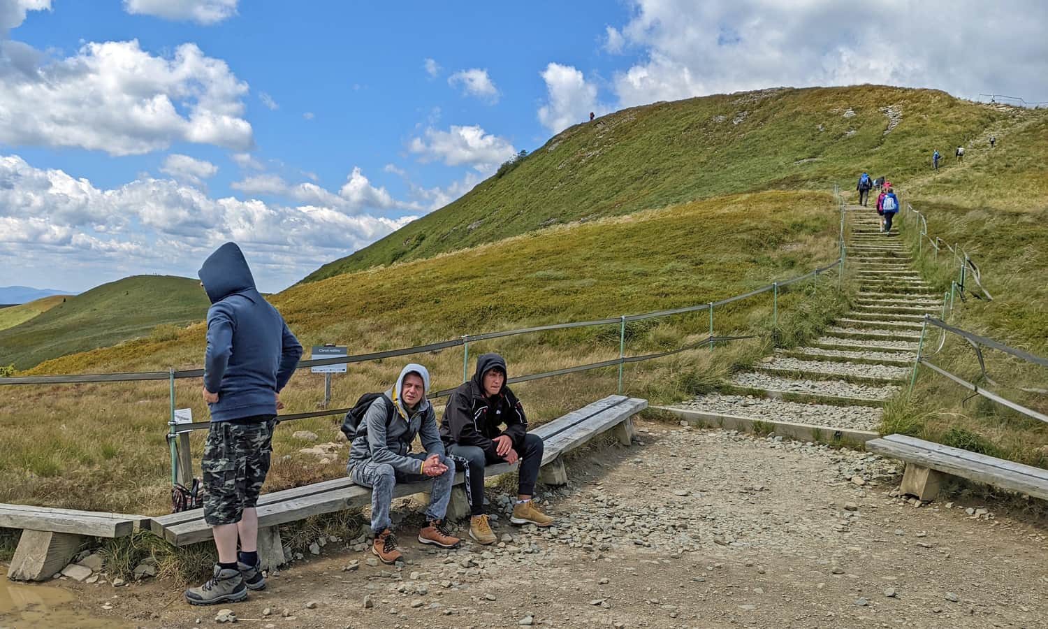
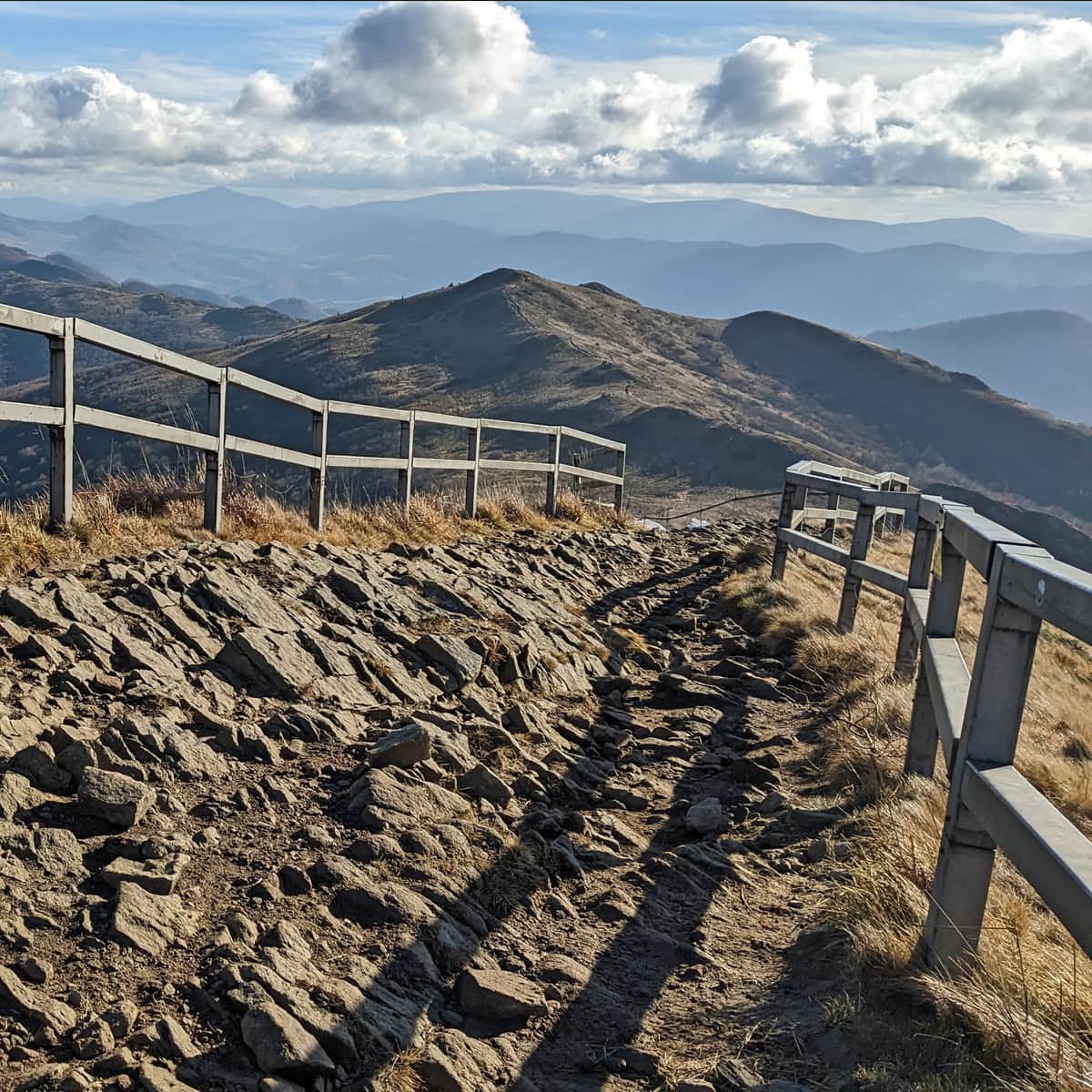
There are not many routes to choose from: all four trails converge at the Przełęcz pod Tarnicą (1275 meters above sea level), from where it takes about 15 minutes to reach the summit by climbing stone stairs. Unfortunately, during the season, there is often a queue of tourists (around 4,000 people per day in summer).
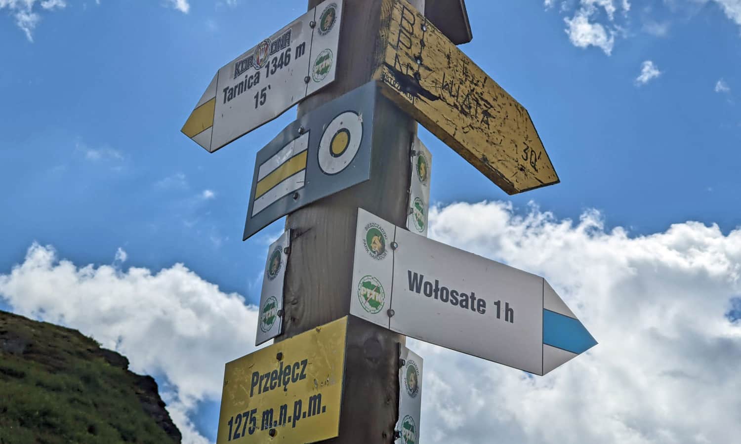
And how to get to Przełęcz pod Tarnicą? Choose for yourself:
The shortest trail to Tarnica from Wołosate
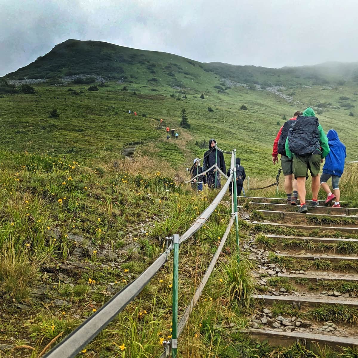
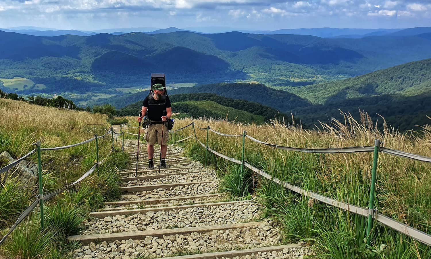
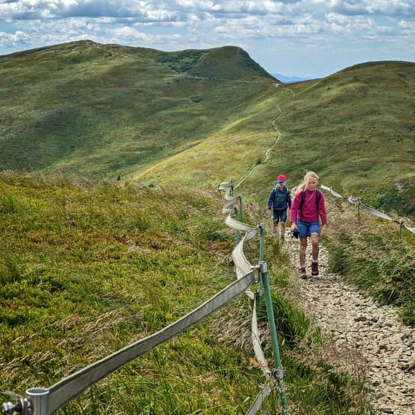
The most popular and shortest trail is the blue trail from Wołosate, which theoretically leads to the summit in 2 hours (4.5 km, 600 meters elevation gain). In reality, if you are not accustomed to mountain trails, the ascent may take a bit longer. Why?
The entire trail is a laborious climb up stairs, without views, and often crowded with tourists...
Medium
The Shortest Trail to Tarnica - Blue Trail from Wołosate

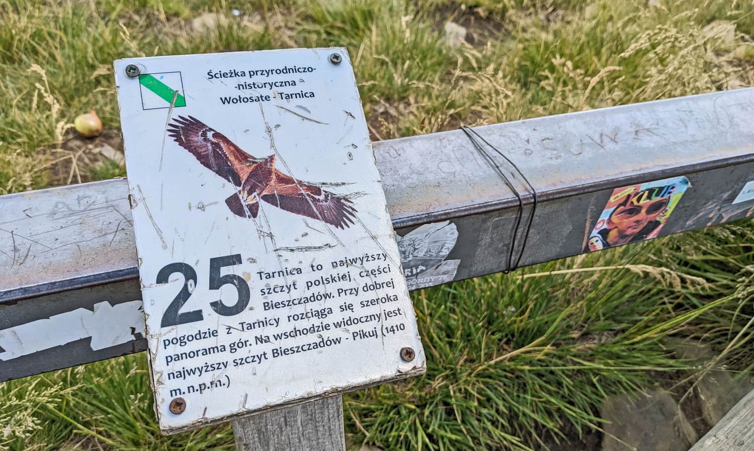
An interesting feature on the trail from Wołosate is the educational path signs "Wołosate - Tarnica," for which you can download an audiobook and listen to it along the trail.
The easiest trail to Tarnica from Ustrzyki Górne
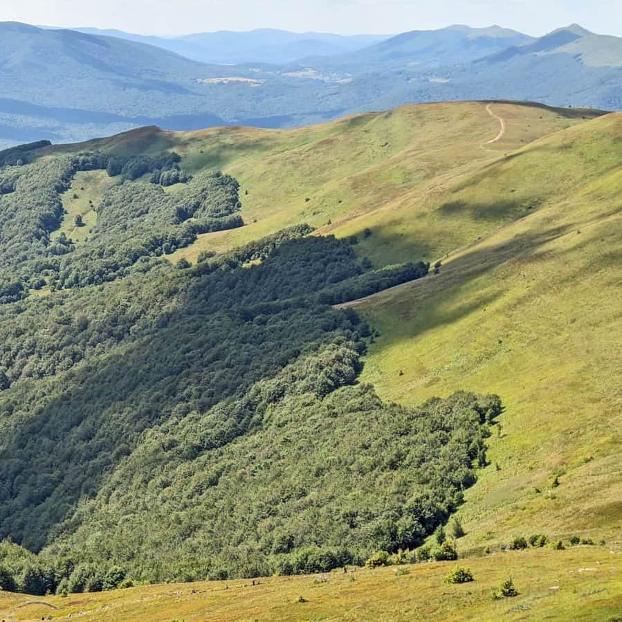
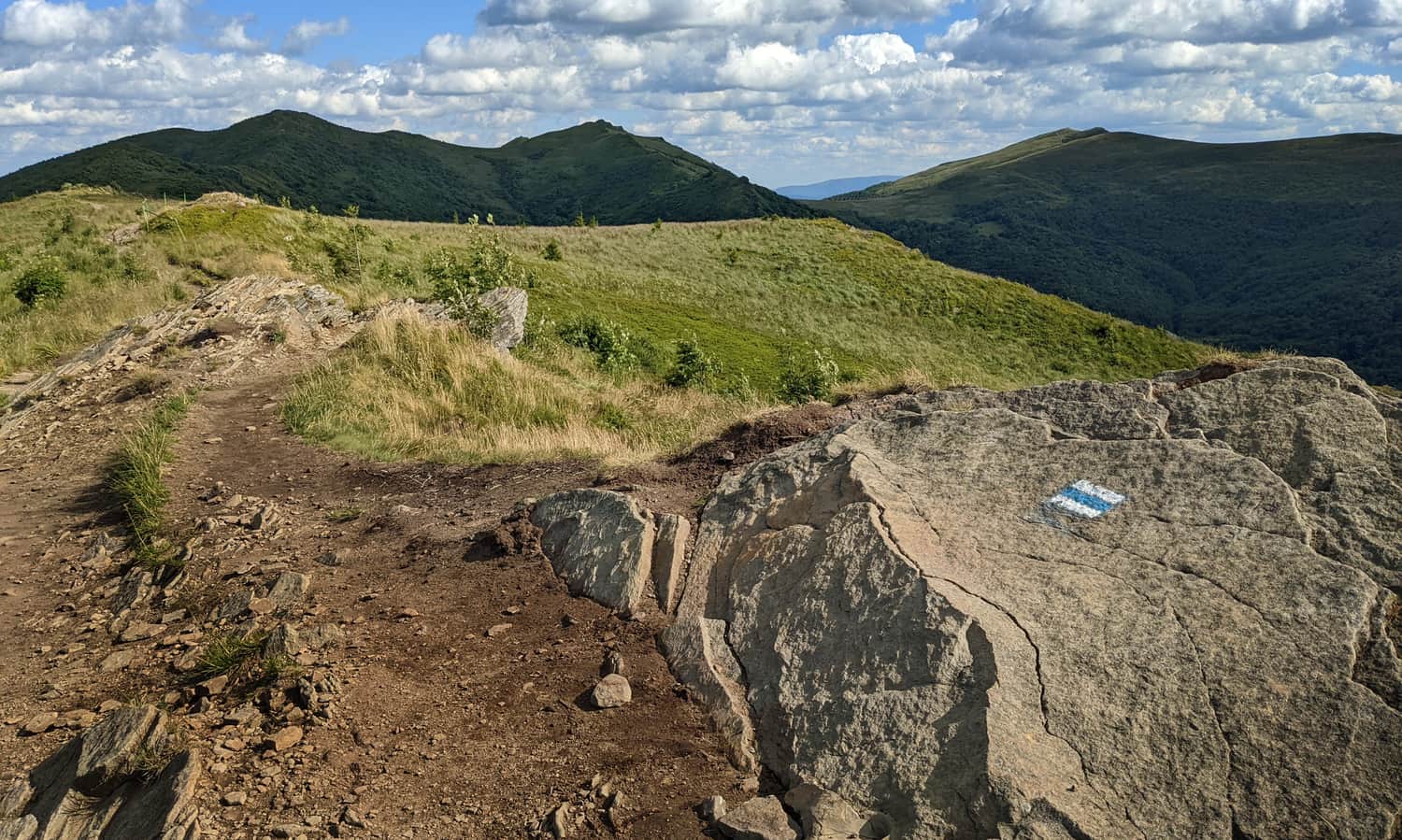
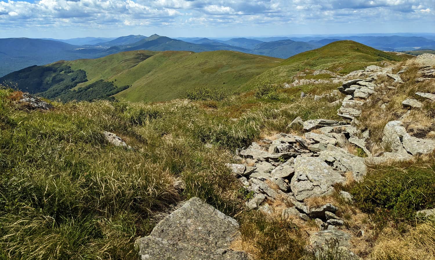
A much more enjoyable, quieter, and, above all, scenic trail is the red trail to Tarnica from Ustrzyki Górne via Szeroki Wierch.
Medium
Recommended Scenic Trail to Tarnica - Red Trail from Ustrzyki Górne

This route is longer and has a greater elevation gain of about 700 meters. However, the trail ascends more gradually (although there are steep sections as well), and the views along the ridge add a special charm to the hike!
Scenic trail to Tarnica without the crowd
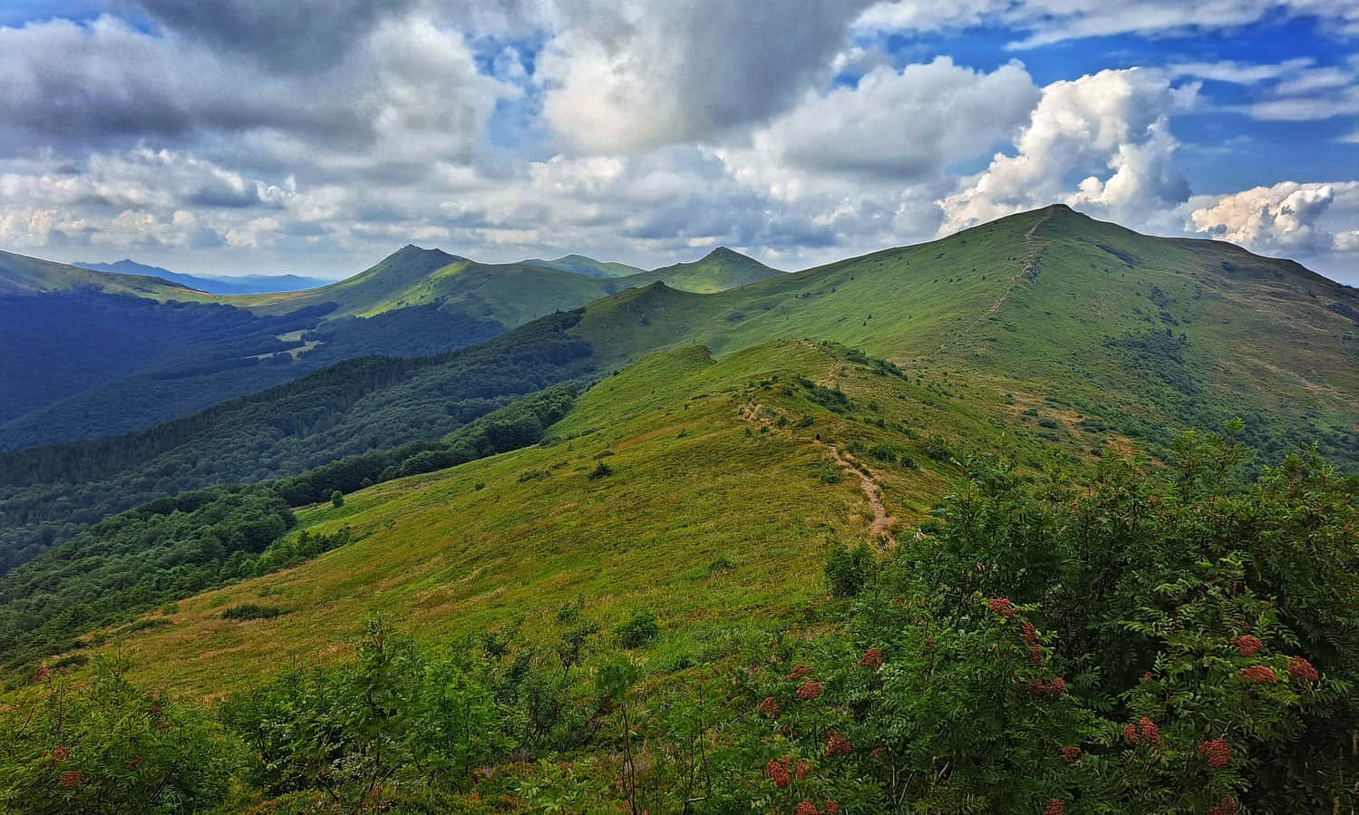
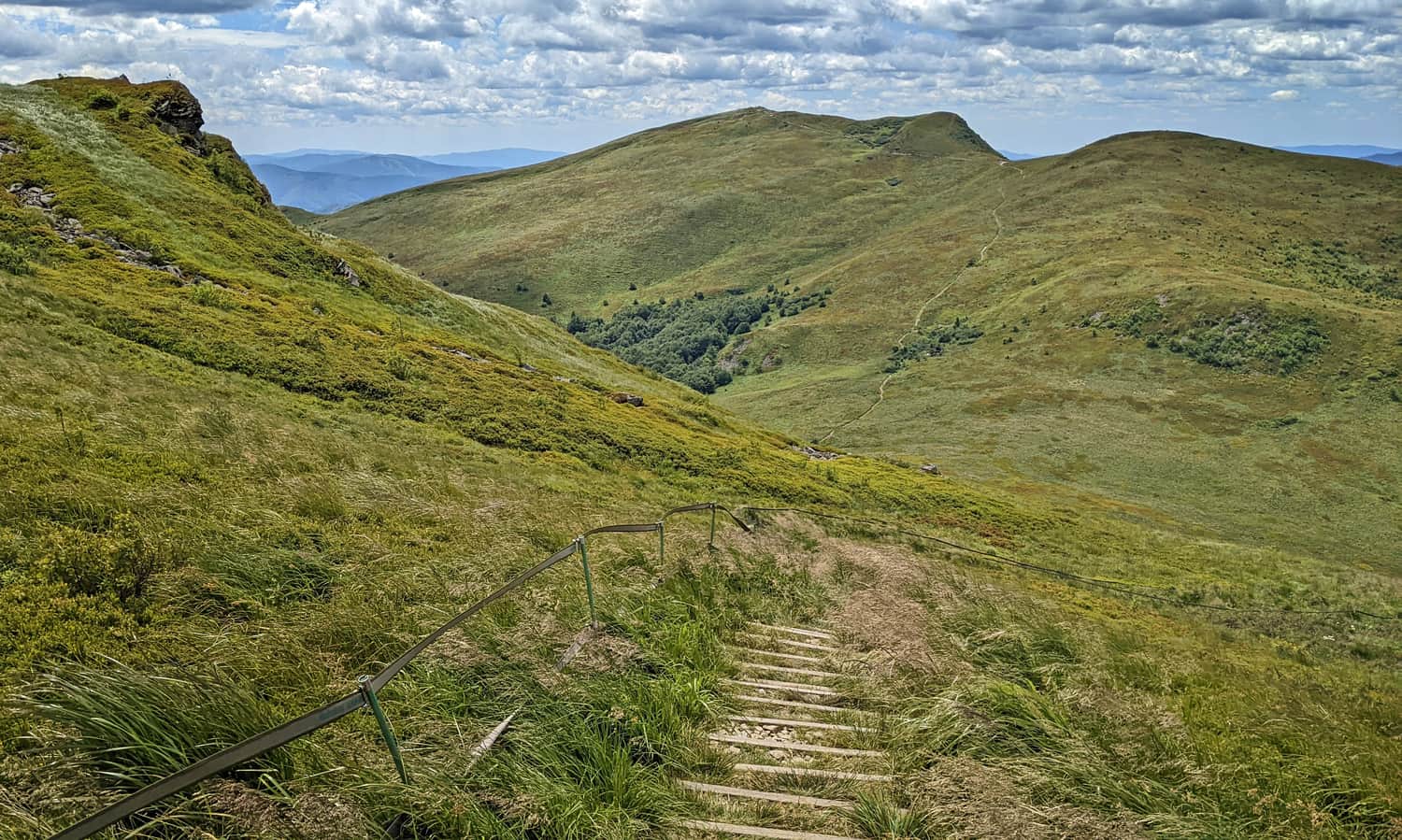
If you have time, energy, and the desire, we recommend taking the "third way" to conquer the highest peak of the Bieszczady Mountains, which is through Bukowe Berdo and Krzemień. It will be very scenic, interesting, and much quieter (even during the season).
Medium
Trail to Tarnica through Bukowe Berdo and Krzemień

The most beautiful and longest trail to Tarnica - red from Wołosate
Few people can be found on the longest trail to Tarnica (excluding, of course, the entire GSB route from Cieszyn!). The red trail from Wołosate leads us first to the somewhat monotonous Przełęcz Bukowska (2.5 hours of walking, about 400 meters elevation gain).
But then it gets beautiful! We hike along the ridges, conquering the peaks of Rozsypaniec, Halicz, and Wierszka Jeleni. We go around the summit of Kopa Bukowska and the peak of Krzemień, descend to Przełęcz Goprowska, and finally reach the summit of Tarnica! It will be stunning, but the total distance to cover is 15 km with almost 900 meters of elevation gain (5 hours of walking one way).
Medium
The Most Beautiful Trail in the Bieszczady Mountains: Through Rozsypaniec and Halicz to Tarnica

Tarnica - loop from Wołosate
It may not be enough time to hike the scenic red trail from Wołosate to Tarnica and back in one day. Therefore, a good solution is to choose a loop trail: Wołosate - blue trail - Tarnica - red trail - Wołosate. In total, it takes about 6 hours of walking, covers approximately 19 km, and has an elevation gain of 900 meters.
Tarnica - loop from Ustrzyki Górne
A less demanding, but less scenic loop trail starts from Ustrzyki Górne. Take the red trail to Tarnica via Szeroki Wierch, descend on the blue trail to Wołosate, and return along the educational path parallel to the road to Ustrzyki. In total, it takes about 6 hours, covers just under 19 km, and has less than 800 meters of elevation gain.
Tarnica - attractions and interesting facts
The main attraction of Tarnica is, of course, the views! Unfortunately, there are no signs with a description of the panorama. You have to check the surroundings on a map. Currently, there is no stamp to confirm reaching the highest peak of the Bieszczady Mountains (as of July 2023), so the confirmation of entering the trail (stamp from the ticket office of the Bieszczady National Park) will have to suffice.
What does the name Tarnica mean?
Did you know that the word Tarnica means "saddle" in Romanian? Indeed, the silhouette of the Queen resembles a saddle, doesn't it? Initially, only the pass beneath the summit of Tarnica was called "saddle," while the Tarnica and Halicz peaks were known as the "Bear Mountains."
Cave on Tarnica
Just near the final section of the ascent to the summit, there is a cave. It was discovered in 2003, but in 2008, the entrance was sealed by the Bieszczady National Park for the safety of tourists.
Cross on Tarnica
The only thing you will find at the summit and definitely not miss is a large metal cross.
The first small cross was placed here in 1979 (two metal tubes, about 1.5 meters high, which are now located on Halicz). In 1987, a second cross was erected (6.5 meters), reportedly illegally! People secretly brought its individual parts, which were then assembled at the summit. The purpose of erecting the cross was to commemorate Karol Wojtyła's (1953) visit to the summit and Pope John Paul II's third pilgrimage to Poland.
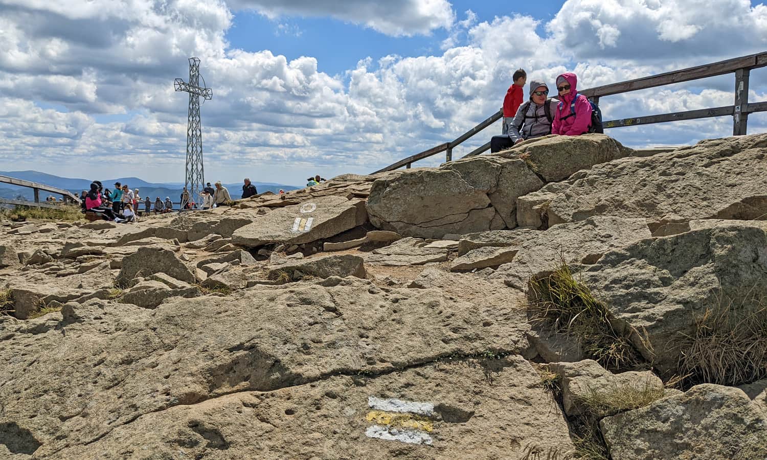
The cross on Tarnica broke in 2000. In the same year, a new, third cross was erected, one meter taller. Its elements were also carried to the summit by pilgrim tourists.
Tarnica - Stations of the Cross
Until 2016, the famous outdoor Stations of the Cross took place on the trails from Wołosate and Ustrzyki Górne. Currently, the Stations of the Cross are set up on the Wołosate - Przełęcz Bukowska trail, and groups of more than 50 people must notify the Management of the Bieszczady National Park before going to the summit.
Tarnica - practical information
When planning a visit to Tarnica, always check the weather forecast! In case of sudden changes (e.g., storms), there is hardly any shelter available.
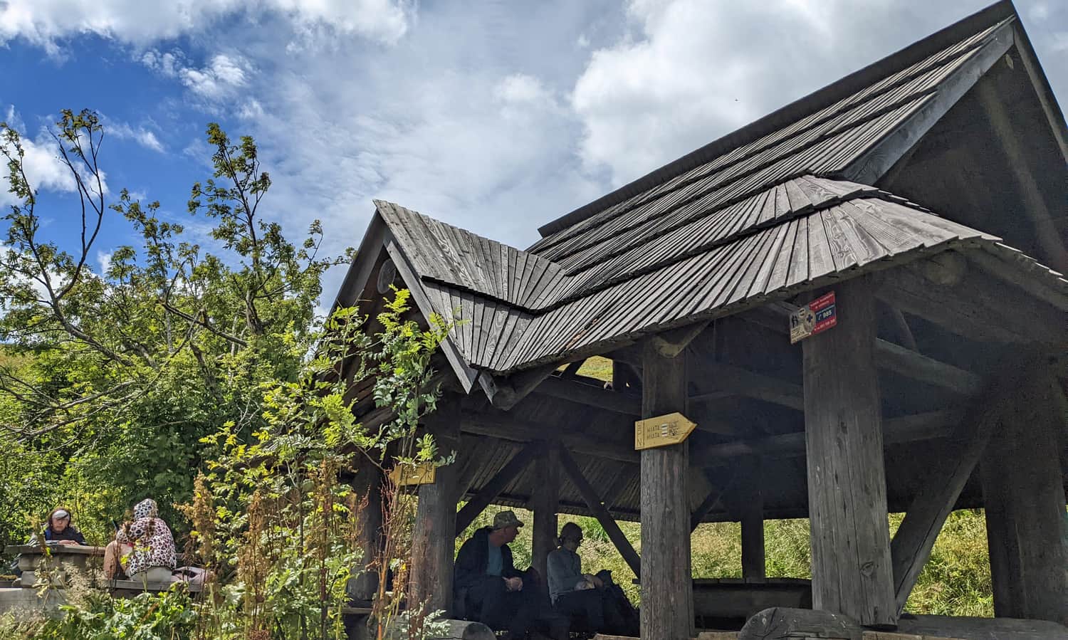
The nearest shelter is located at Przełęcz Goprowska (about 20 minutes below the summit on the red trail towards Halicz) and along the blue trail from Wołosate (in the forest, about 30 minutes below the summit).
Bring food and water (there is no mountain hut) and a jacket to wear at the summit - it's always windy there!
Tarnica - parking
Parking at the trailheads to Tarnica in Wołosate and Ustrzyki Górne is subject to a fee (and fills up quickly during the season). However, you can find a free parking area in Muczne: by the main road, near the church, or a large square just before entering the village (about 10 minutes before the start of the trail).
Tarnica - tickets
Both the summit of Tarnica and all the trails leading to it are located within the Bieszczady National Park. A park entrance ticket is required (available online or at the trailhead). Holders of the Large Family Card enter for free.
Tarnica with a dog
Attention! Just like throughout the entire Bieszczady National Park, dogs are not allowed (including being brought into the park).

Publish Date:
Last Updated: