Trail to Tarnica through Bukowe Berdo and Krzemień
Nearby: Ustrzyki Dolne| Distance | 8.1km |
|---|---|
| Time | 4h 7min |
| Ascents | 841m |
| Descents | 234m |
wb_sunny Route in the sun
directions_car Access by car
warning No dogs allowed
The trail to Tarnica from Muczne, through Bukowe Berdo and Krzemień, is a great alternative to the trails from Wołosate and Ustrzyki Górne. Especially if you don't like crowds on the way and want to enjoy the most beautiful aspects of the Bieszczady Mountains: a long hike along the ridge with panoramic views on all four sides of the world.
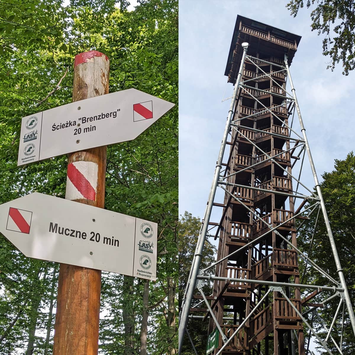
From Muczne to Tarnica
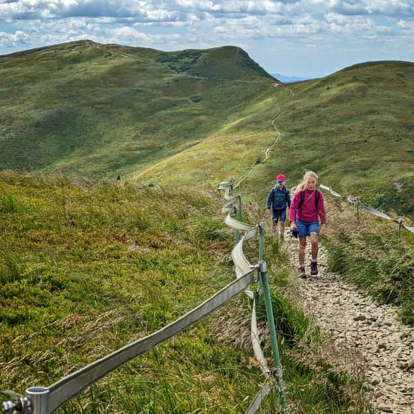
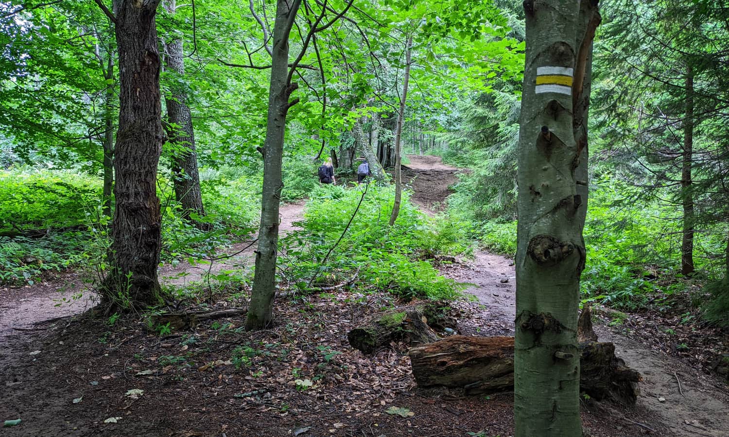
In Muczne, you can easily find free parking (another advantage compared to the trails from Wołosate and Ustrzyki Górne!). The first part of our trail is a climb on the yellow trail to Bukowe Berdo, and then a walk along the ridge (blue trail).
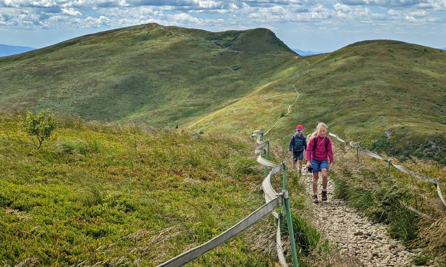
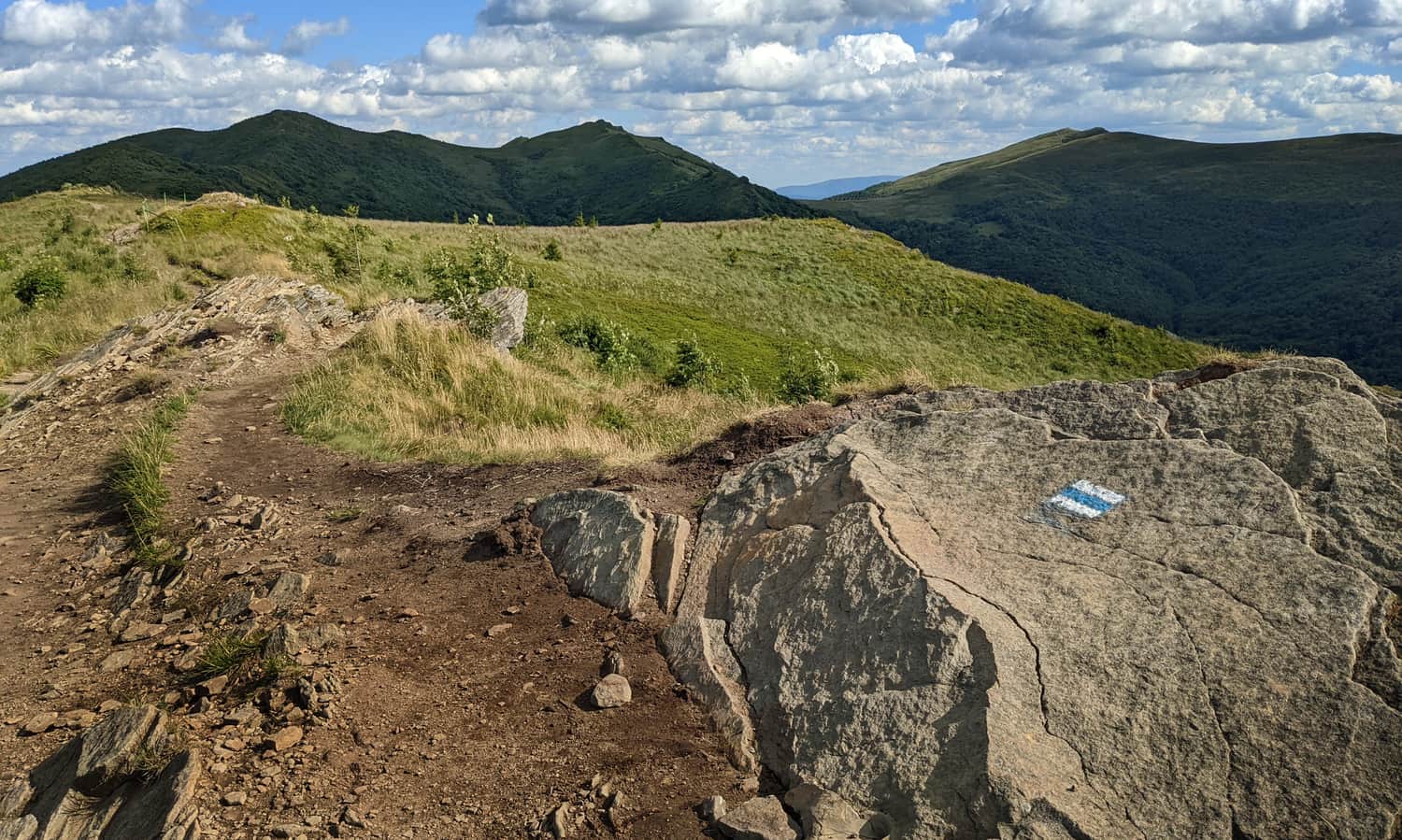
After climbing through the forest ridge (about an hour), we reach the picturesque, wild ridge of Bukowe Berdo. The hike through the three peaks of this massif will take us another hour - an hour full of awe-inspiring views of what's beneath our feet and far on the horizon.
Along the way, we see the goal of our trip, which are the three peaks: Bukowe Berdo, Krzemień, and Tarnica.
We described this section of the trail, along with the views from the summit of Bukowe Berdo, in detail in this article:
Medium
Bukowe Berdo - trail from Muczne

From Bukowe Berdo to Krzemień
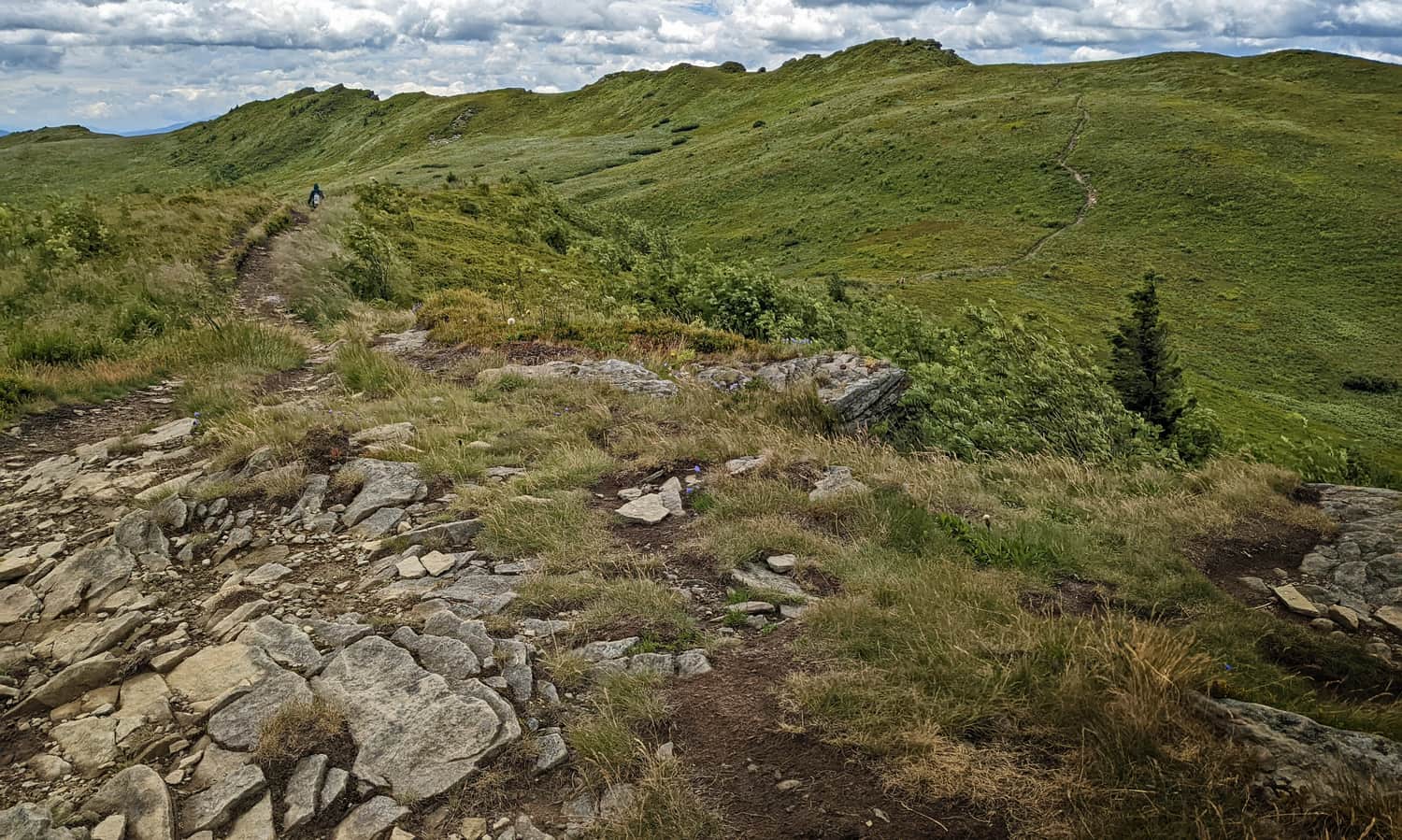
From the summit of Bukowe Berdo, we descend to the pass, then climb up the ridge of Krzemień (which looks much gentler from this side than from Tarnica). It's a 50-meter descent, followed by another 50-meter ascent. We can cover this section in 20-30 minutes.
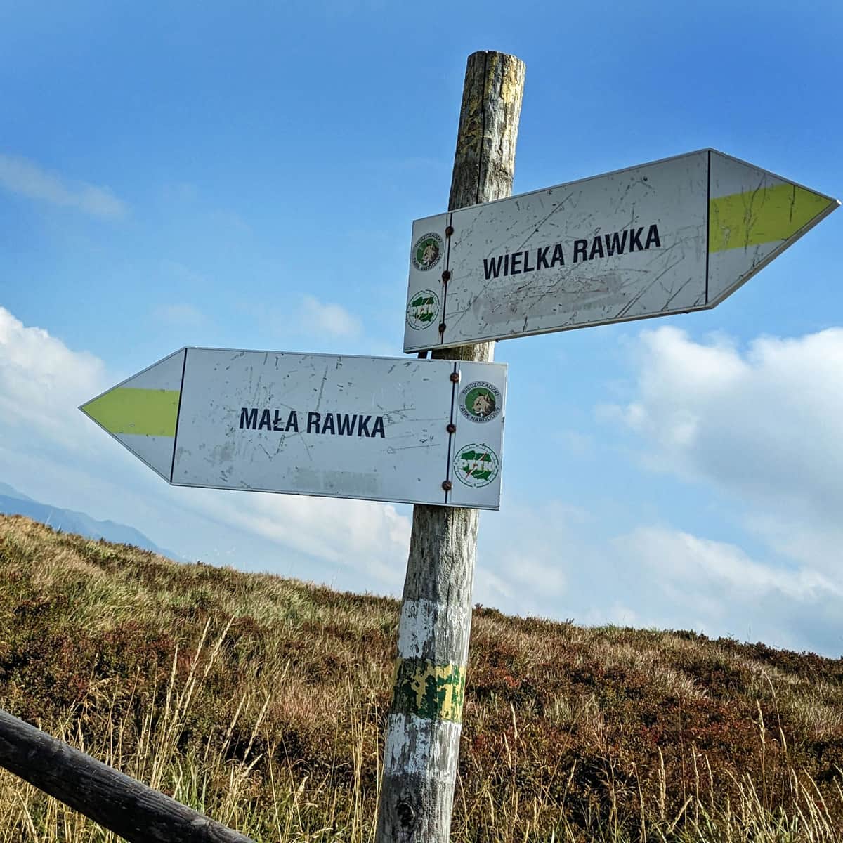
From Krzemień to Tarnica
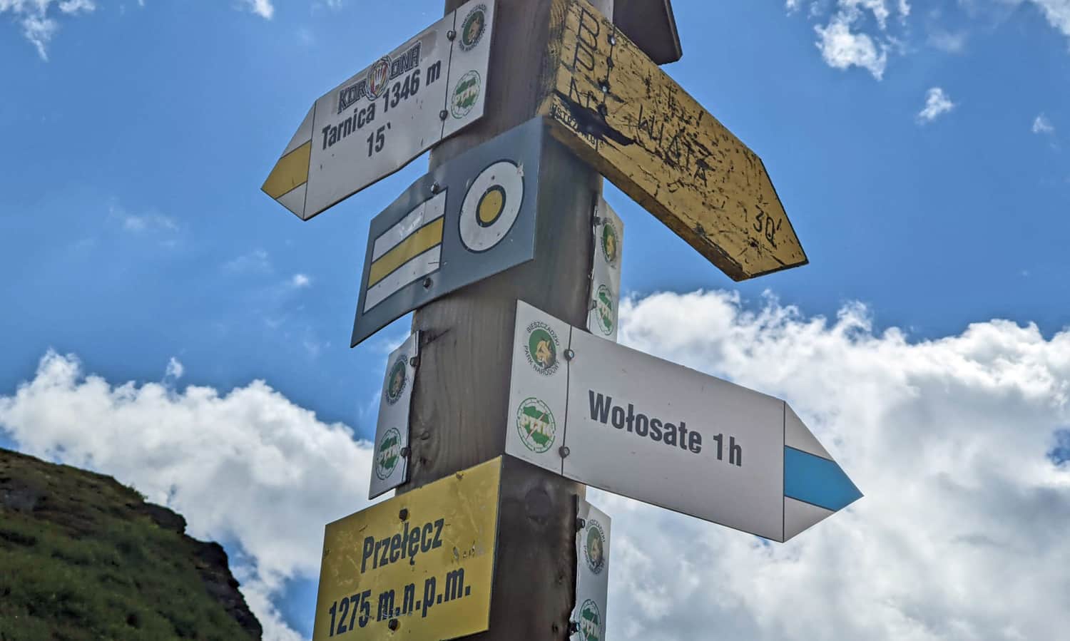
We "cross" the ridge of Krzemień, bypassing the summit. Actually, there is no sign here indicating where we are... Only the one and only correct direction "to Tarnica"!
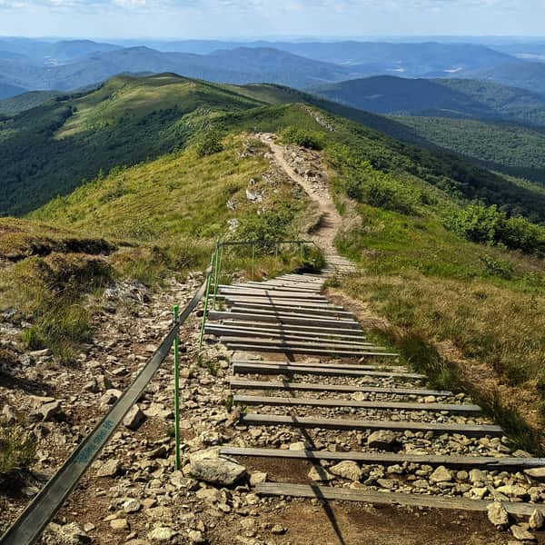
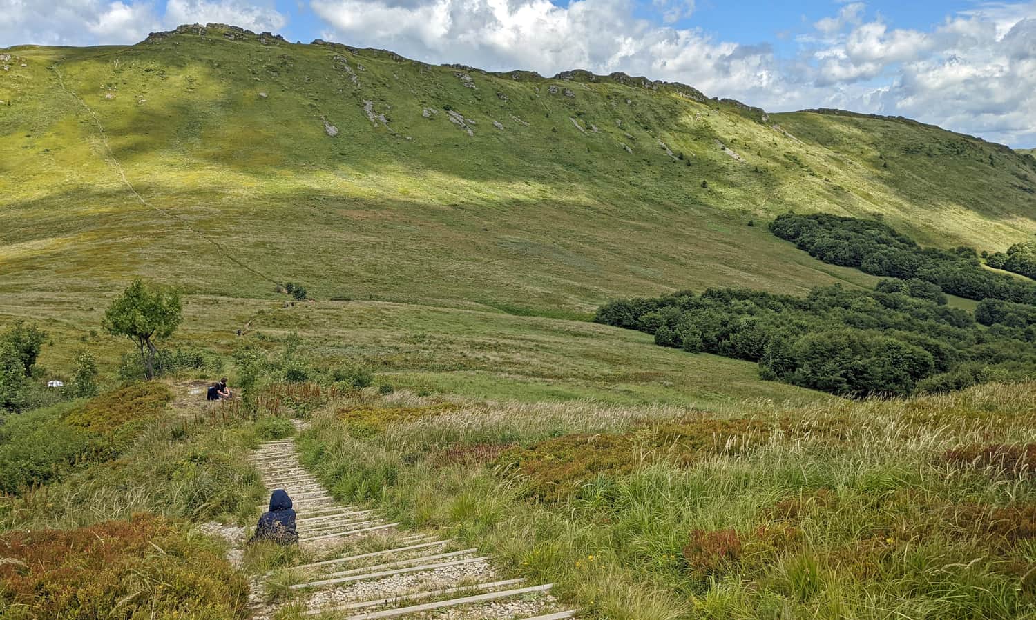
We descend from Krzemień to Goprowska Pass with steep steps. We "lose" 150 meters in 10-15 minutes... It's a bit of a shame because we will soon face another ascent (almost 200 meters uphill).
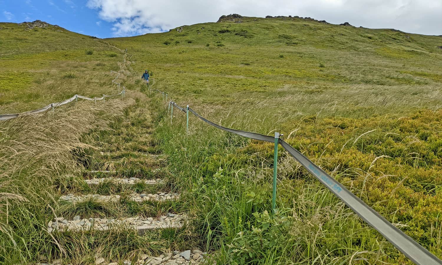
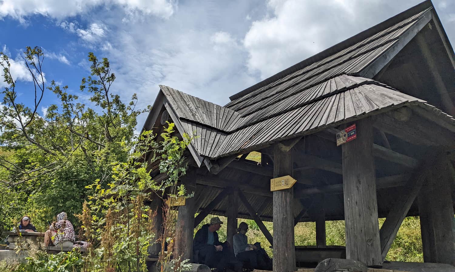
At Goprowska Pass, there are a few benches waiting for us, and a bit higher up: a larger shelter with tables. It's worth gaining strength here for further hiking.
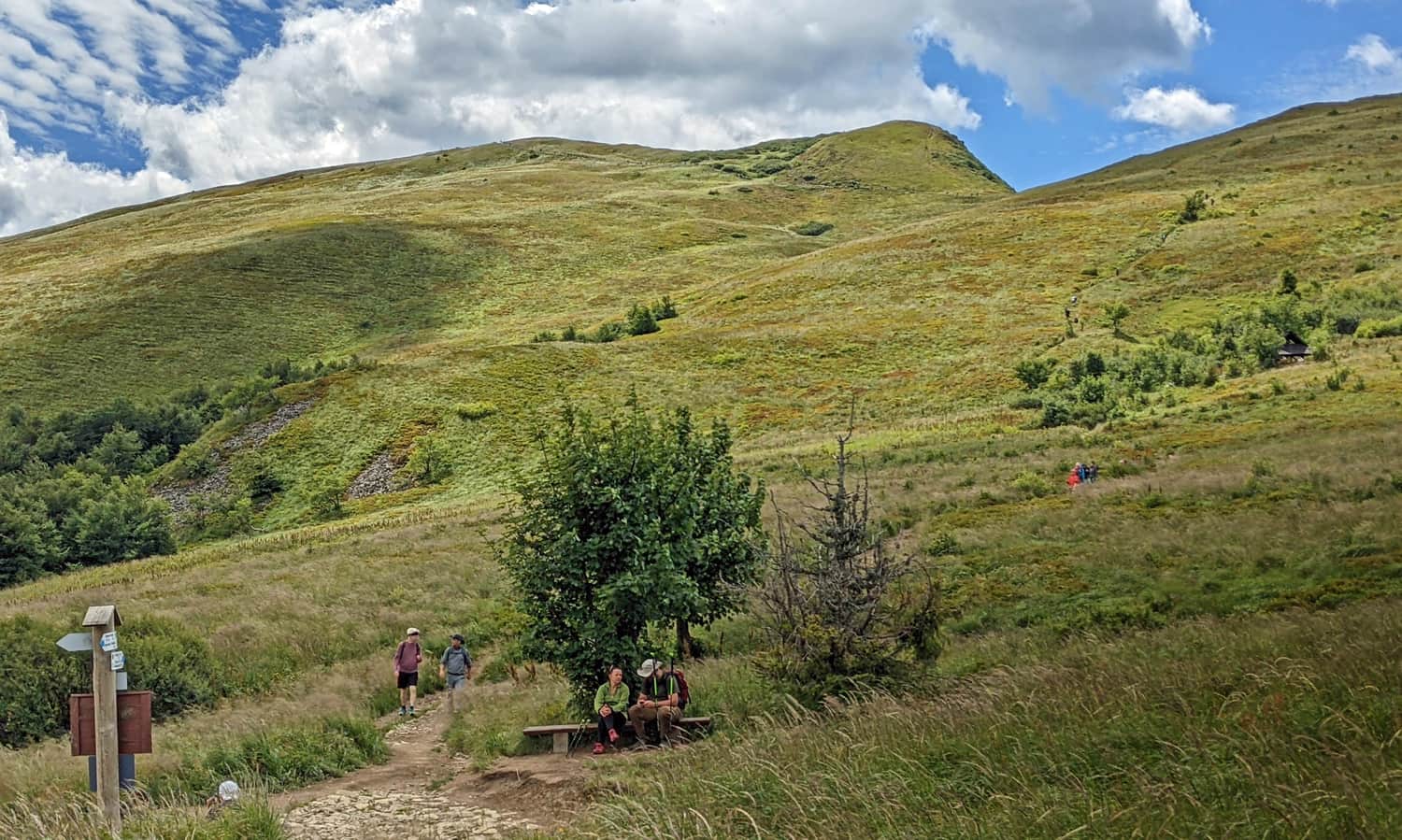
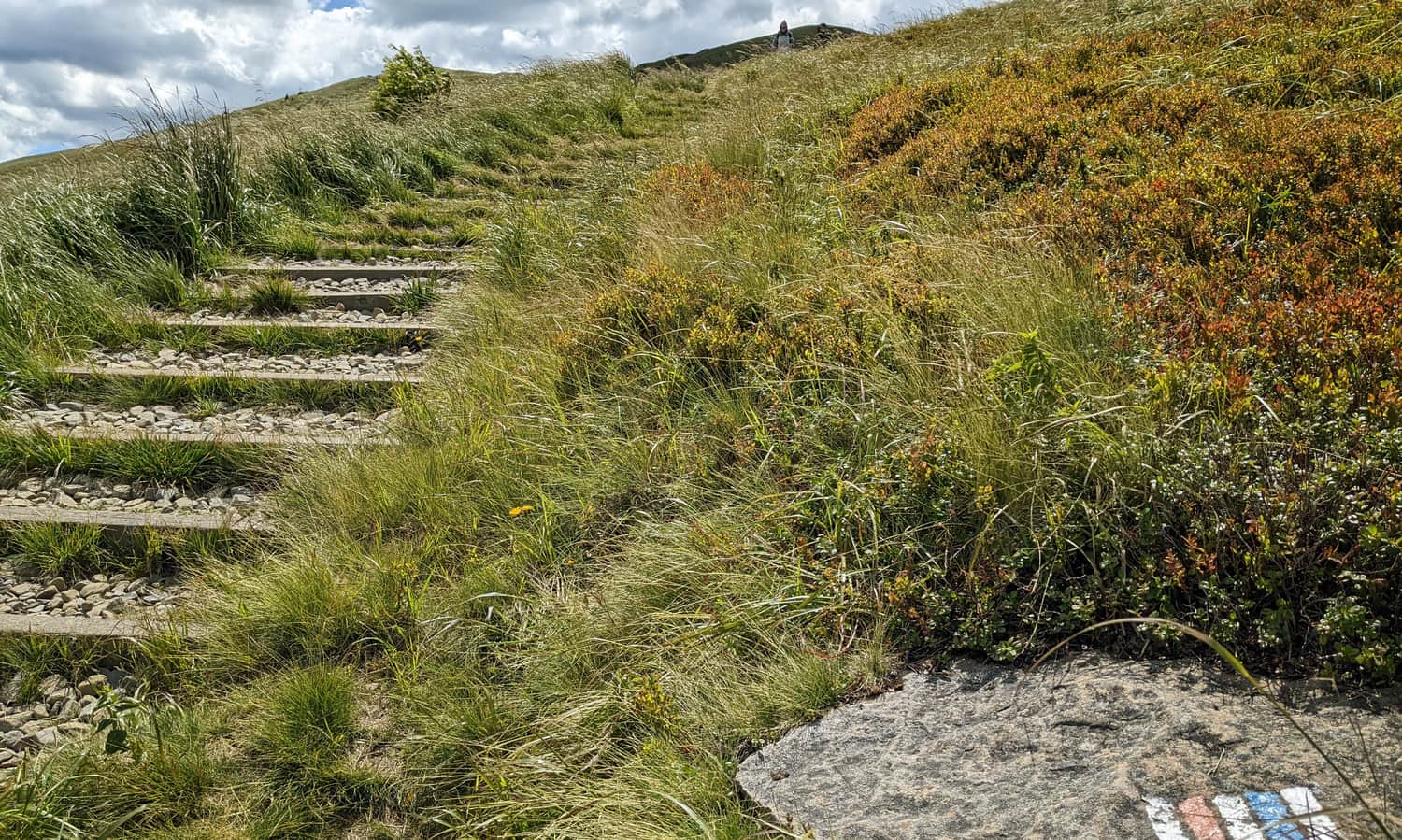
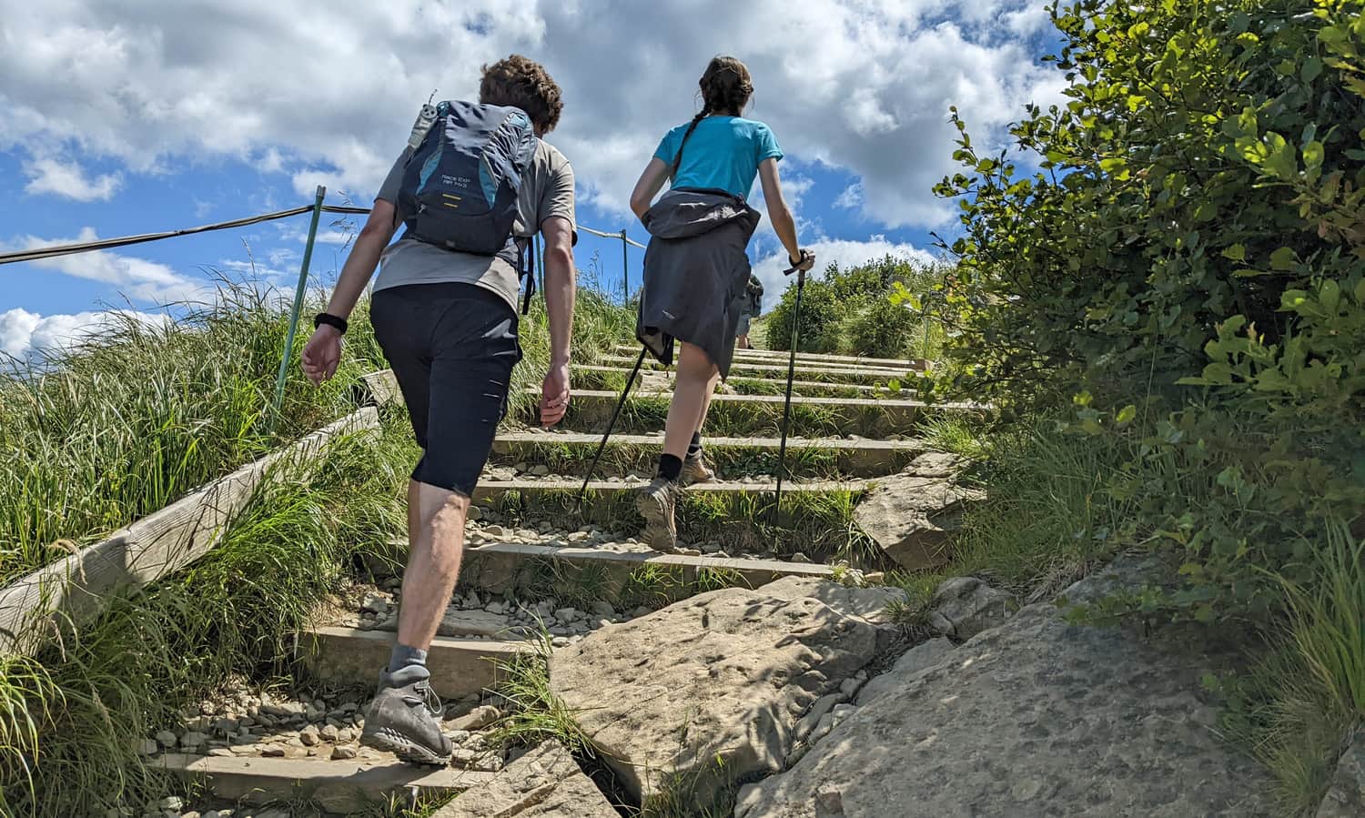
Climbing to Tarnica
Due to the fact that tourists from the red trail will join us at Goprowska Pass, there will be more of us on the approach to the pass below the summit of Tarnica. However, the stairs are wide and comfortable - we will all fit:
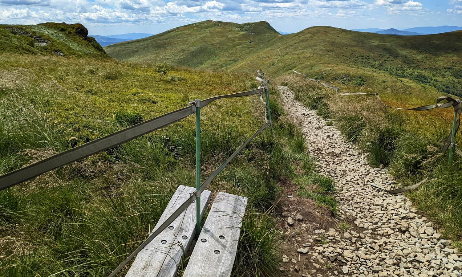
During the climb, let's occasionally turn around and look at the majestic rocky ridge of Krzemień that we conquered a moment ago:
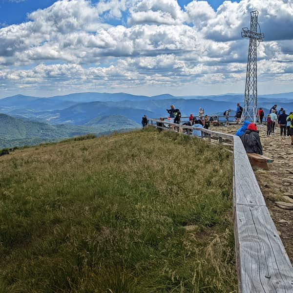
After about 30 minutes of climbing from Goprowska Pass, we reach the Pass below Tarnica. Here, we meet the crowds from Wołosate and Ustrzyki Górne...
In the peak season or on weekends, the last 15-20 minutes are obligatory to be spent "in line" (and be glad that we avoided this earlier on Bukowe Berdo!).
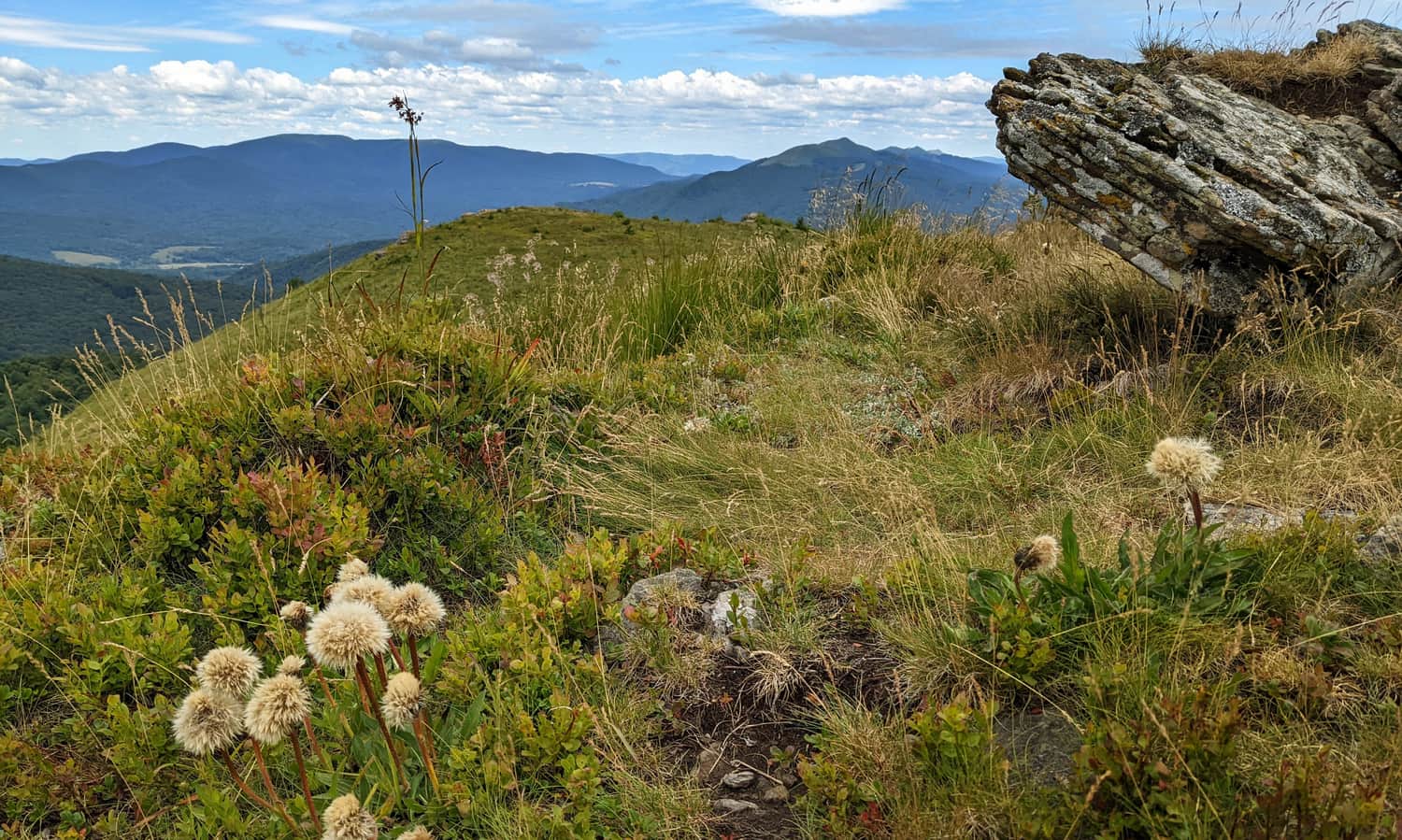
Summit of Tarnica - views and panorama
At the highest peak of the Polish Bieszczady Mountains, beautiful panoramas await us on all four sides of the world. In good weather, we can see Pikuj (the highest peak of the Bieszczady Mountains, 1408 m above sea level), and sometimes even the Tatra Mountains.
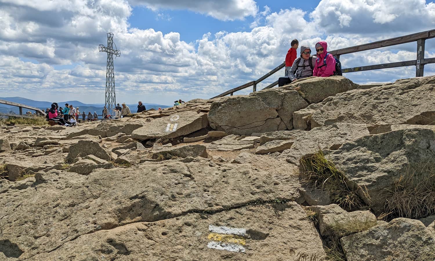
After taking the obligatory photo under the cross, we have the "return journey" ahead: either the same way back to Muczne (about 2.5 hours), or a different route: the shortest one to Wołosate (about 1 hour on the blue trail), a longer one to Ustrzyki Górne (about 2 hours on the red trail), or the "longest" one, which is the red trail through Halicz and Bukowska Pass to Wołosate (about 4 hours).
Do you know all the secrets of Tarnica? You can find interesting facts about the highest peak of the Bieszczady Mountains and descriptions of the trails here:
All roads and trails to Tarnica
Tarnica (1346 meters above sea level) is the highest peak of the Polish Bieszczady Mountains. It is famous for its beautiful views... and the queue to take a photo "with the cross." Discover interesting facts about the Tarnica summit and all the roads, trails, and loops to Tarnica! ...
From Muczne to Tarnica - practical information
- The trail is beautiful but long - plan to spend the whole day, preferably with good weather.
- Remember to bring food and a water supply (no shelters or tourist facilities along the way).
- If you want to go there and back, keep in mind that the trail itself is over 16 km long, with a total elevation gain of over 1100 m. On the way back, there will be an ascent to Krzemień and the summit of Bukowe Berdo, and then it will be downhill.
- Apart from the approach from Muczne, we will be walking along ridges and meadows the whole time. This has its great advantages (views, views, and more views!), but on a sunny, warm day, it can be challenging. Remember to wear a hat and use sunscreen with UV protection.

Publish Date:
Last Updated:
More in the Region Bieszczady (Bieszczady)