The Shortest Trail to Tarnica - Blue Trail from Wołosate
Nearby: Ustrzyki Dolne| Distance | 5.0km |
|---|---|
| Time | 2h 46min |
| Ascents | 607m |
| Descents | 8m |
beach_access Route in the shade
directions_car Access by car
wc Toilet along the route
warning No dogs allowed
The Blue Trail from Wołosate to Tarnica (1346 m above sea level) is definitely the shortest, but not the easiest route to the highest peak of the Polish Bieszczady Mountains! There is a significant elevation gain to overcome, and we constantly climb steeply uphill.
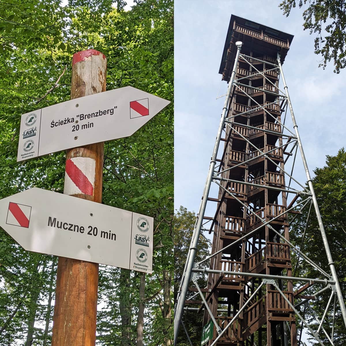
- Wołosate - the beginning of the Blue Trail to Tarnica
- Leaving Wołosate towards Tarnica
- Nature and History Trail from Wołosate to Tarnica
- The Blue Trail to Tarnica
- Shelter on the Blue Trail to Tarnica
- Climbing Tarnica on the Blue Trail
- Pass under Tarnica
Wołosate - the beginning of the Blue Trail to Tarnica
In Wołosate, there is a large paid parking lot. Displays in Ustrzyki Górne provide information about the availability of free spaces. If there are no spaces available or if we arrive in Ustrzyki by bus, we can walk to Wołosate (about 6 km, 1.5 hours) or take a partially road-side and partially marsh-side nature trail called Ustrzyki Górne - Wołosate (similar distance and time). During the season, it is possible to catch a bus to Wołosate.
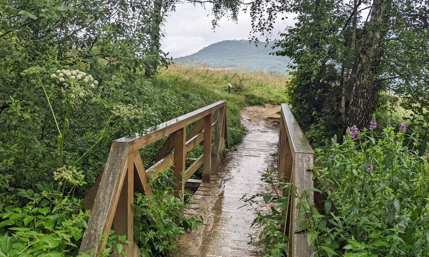
Leaving Wołosate towards Tarnica
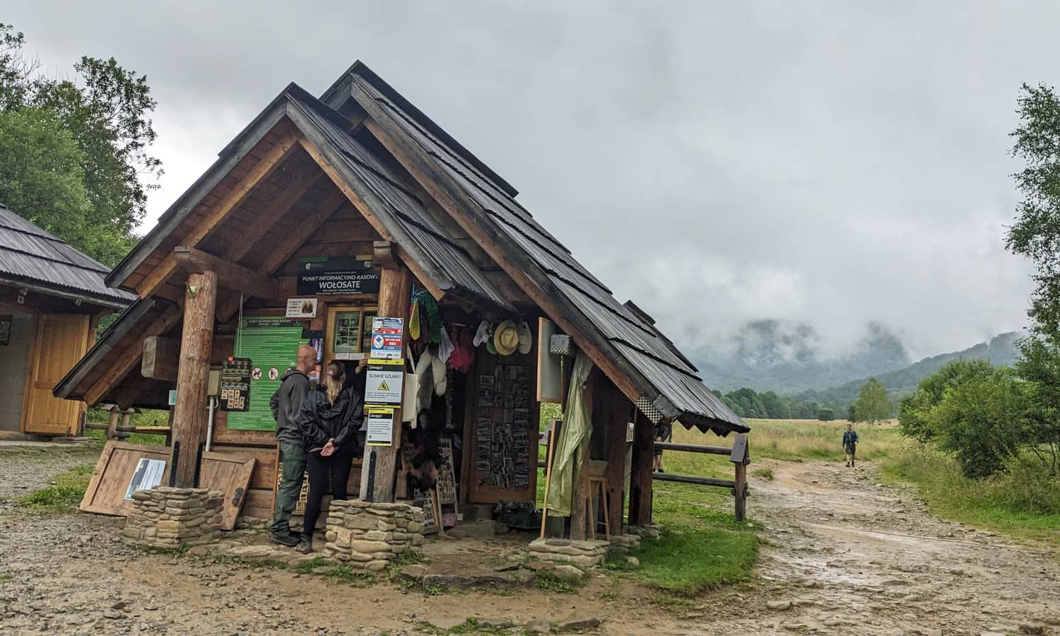
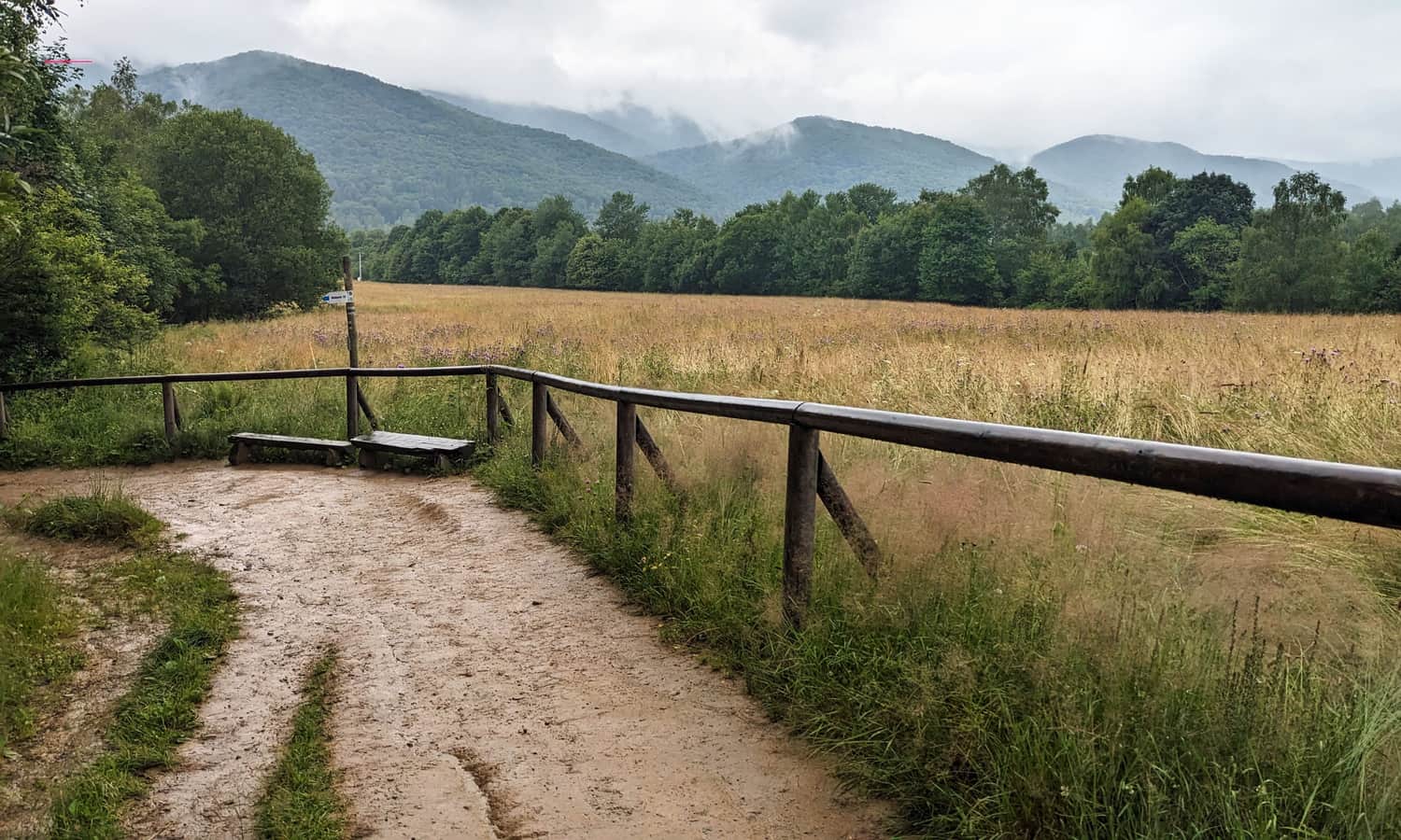
In Wołosate, at the beginning of our route, there is a Bieszczady National Park ticket office with tickets and souvenirs (buying tickets is mandatory!). There are also toilets available. The beginning of our route is a pleasant walk through wide Bieszczady meadows:
Nature and History Trail from Wołosate to Tarnica
As you may notice, our Blue Trail is accompanied by the educational trail called "Wołosate - Tarnica." The stops are marked with numbers from 1 to 25 - thanks to them, we can easily answer the question "how much further?", especially for the youngest ones.
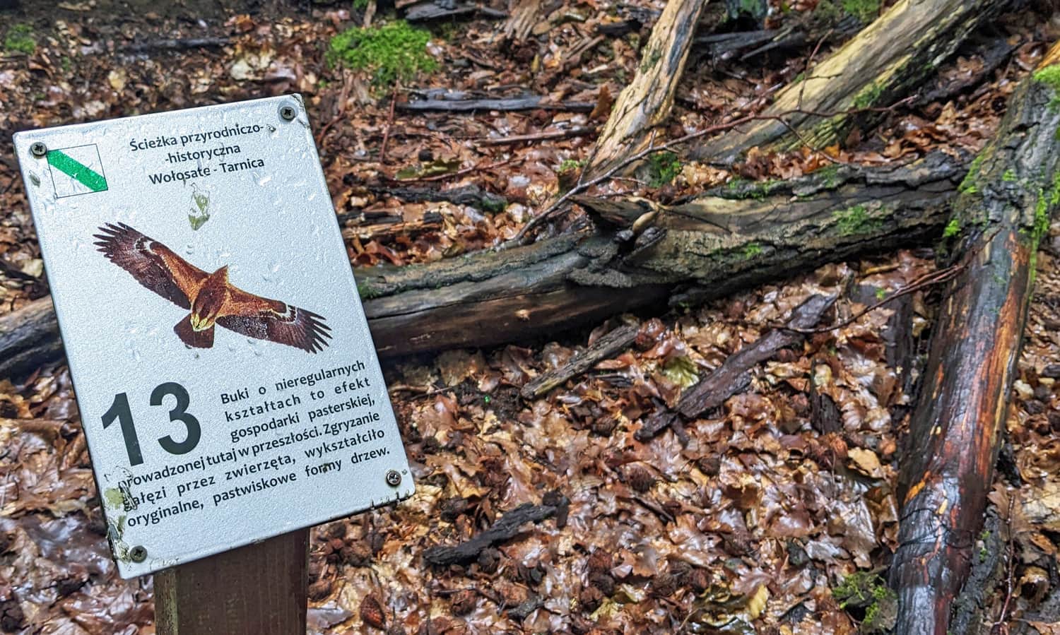
Of course, it is also worth paying attention to what each stop refers to. At the ticket office, we can get a brochure with their descriptions. You can also download an audiobook >>> and listen to the descriptions along the way.
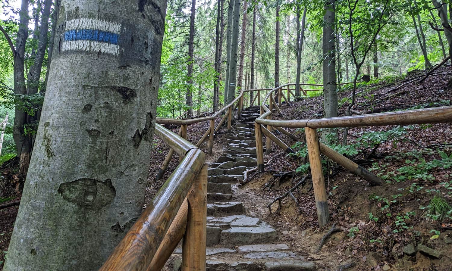
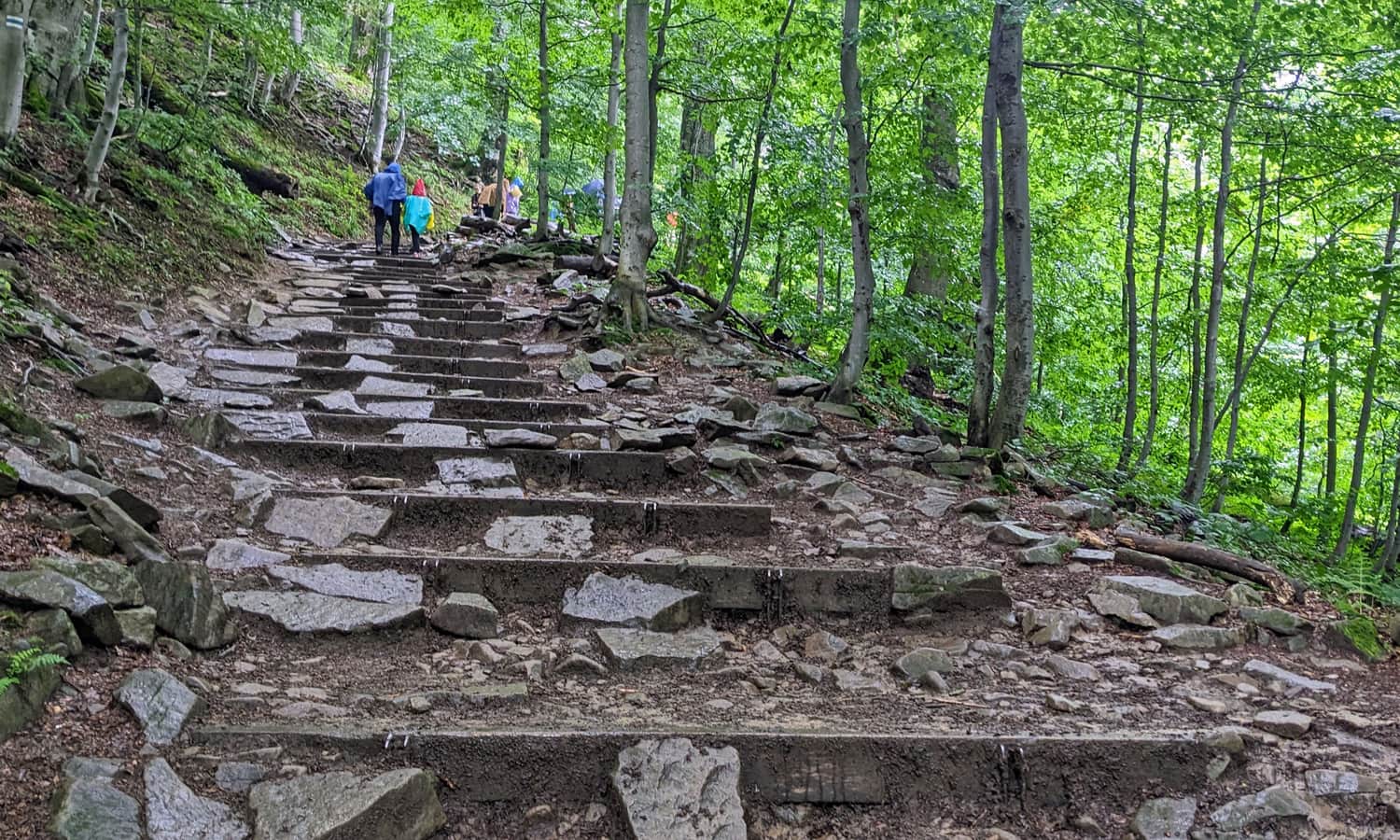
The Blue Trail to Tarnica
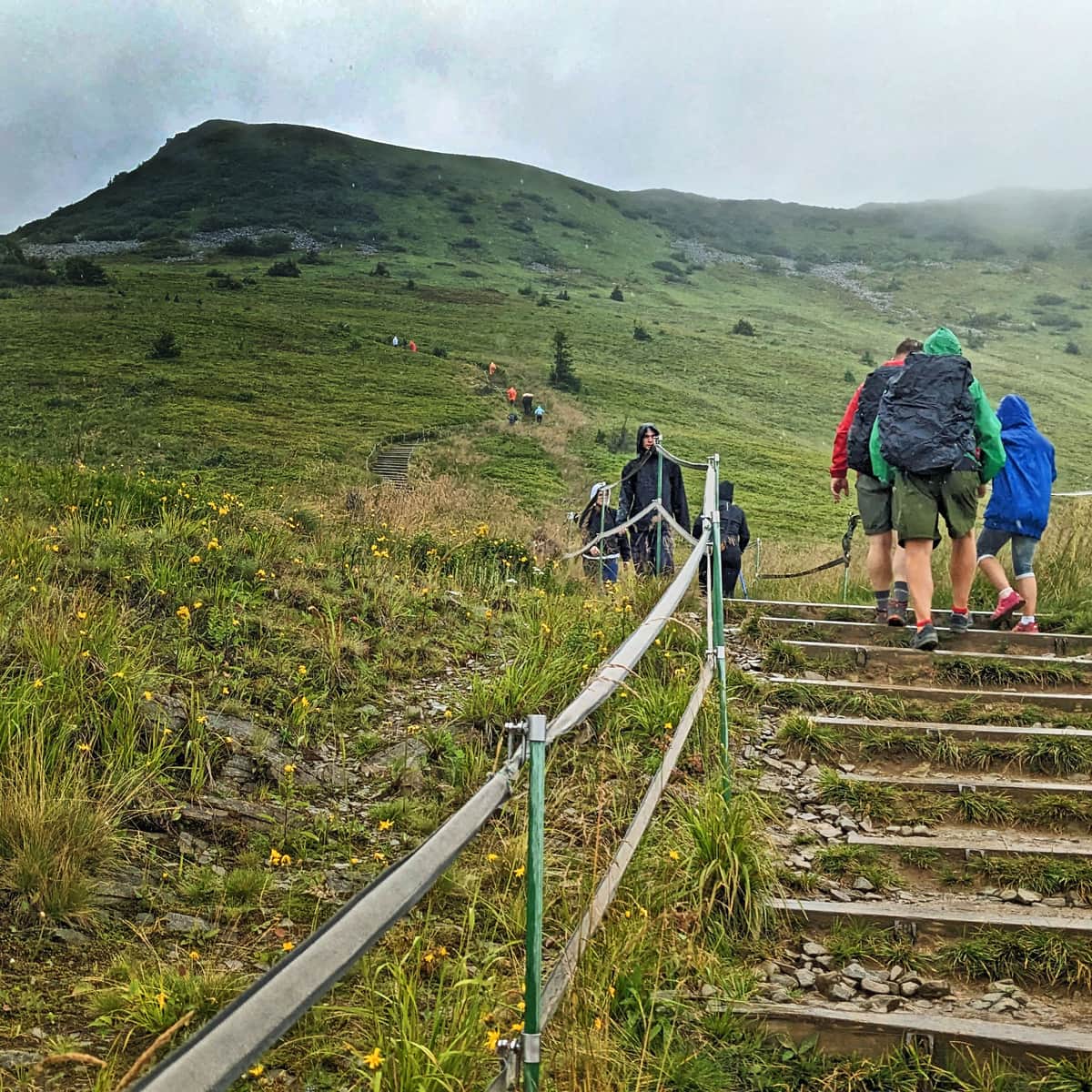
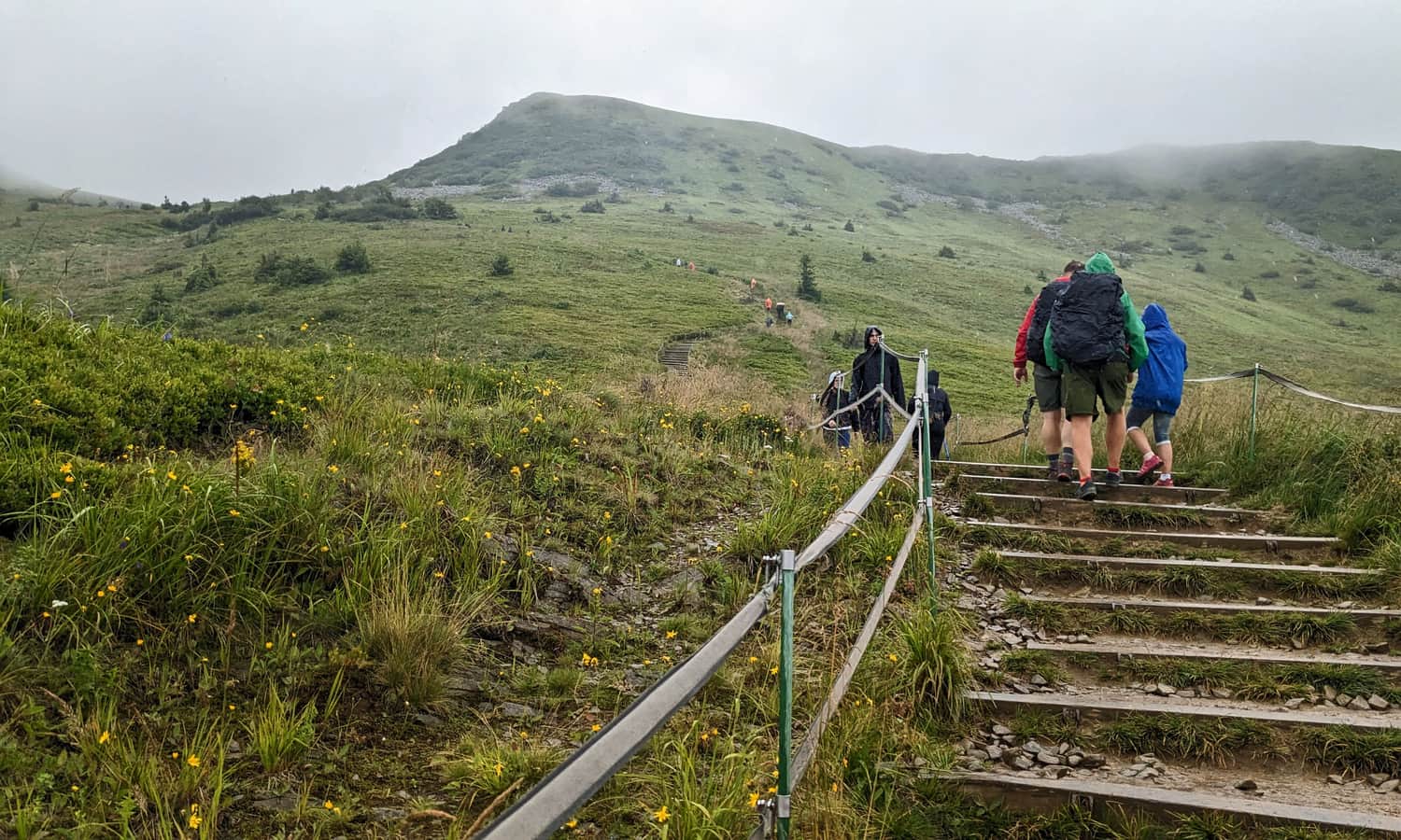
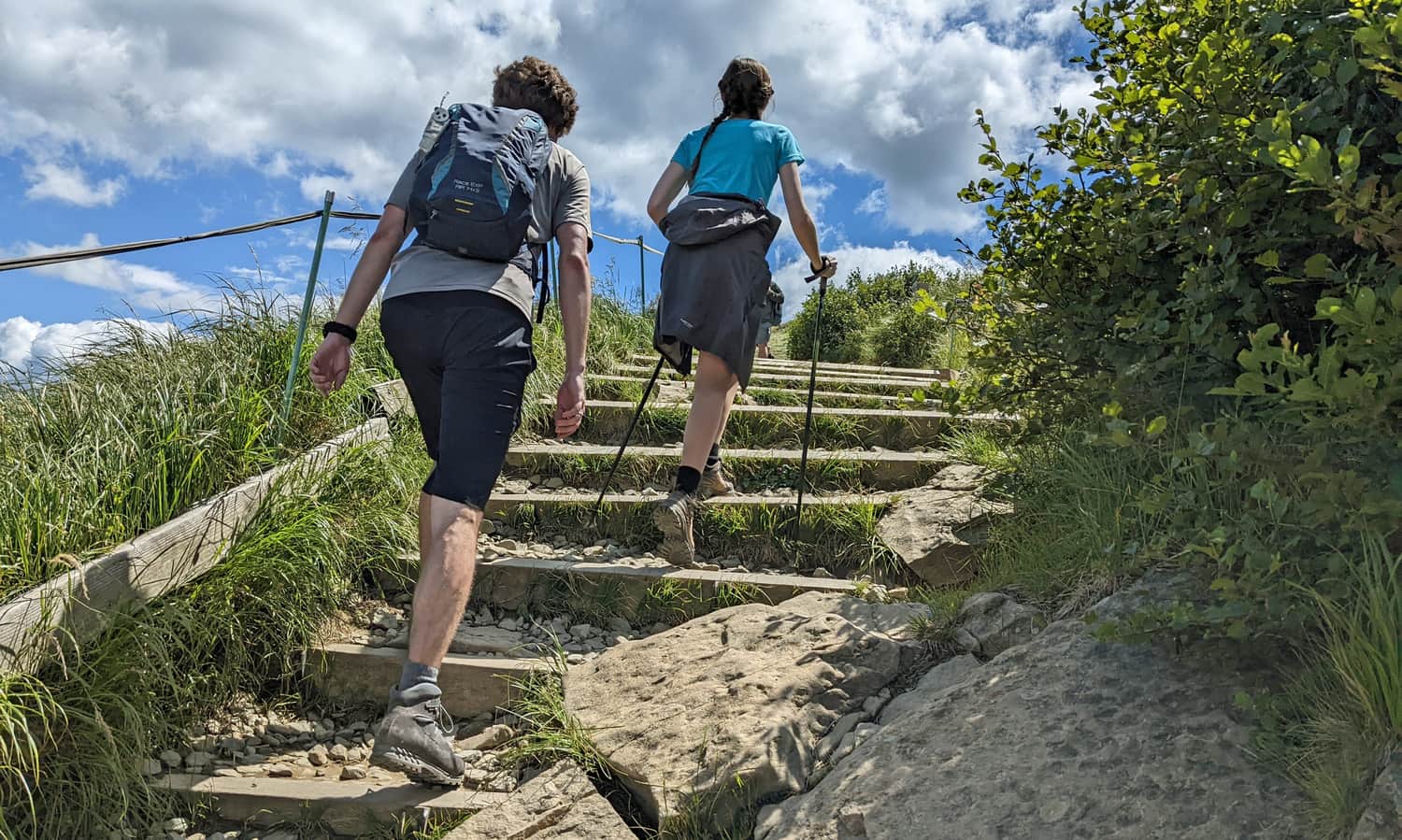
After entering the forest, we will encounter the first challenge: steep wooden stairs. Such "attractions" await us for the majority of the trail!
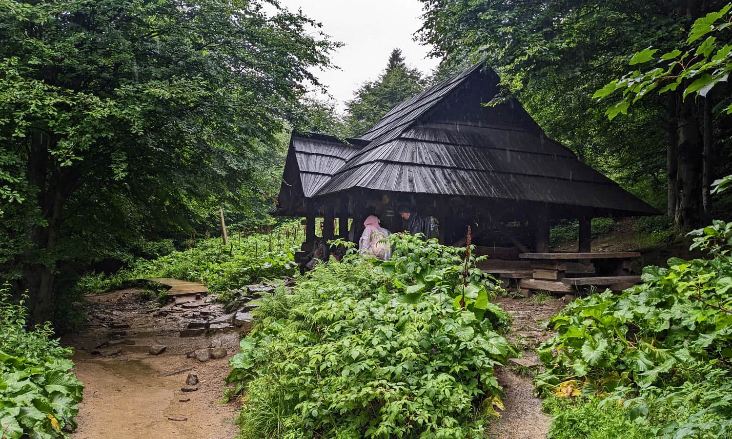
Shelter on the Blue Trail to Tarnica
After about 1-1.5 hours from the ticket office, a large covered shelter awaits us. It is a perfect place to rest and gather strength before the most difficult part of the trail. Nearby the shelter, in the forest, we can find portable toilets.
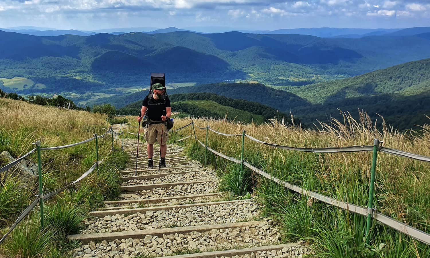
Climbing Tarnica on the Blue Trail
After resting at the shelter, there is only uphill, uphill, and more uphill... In a distance of 1.7 km, we will overcome a height difference of 325 m. From now on, it will only be steep...
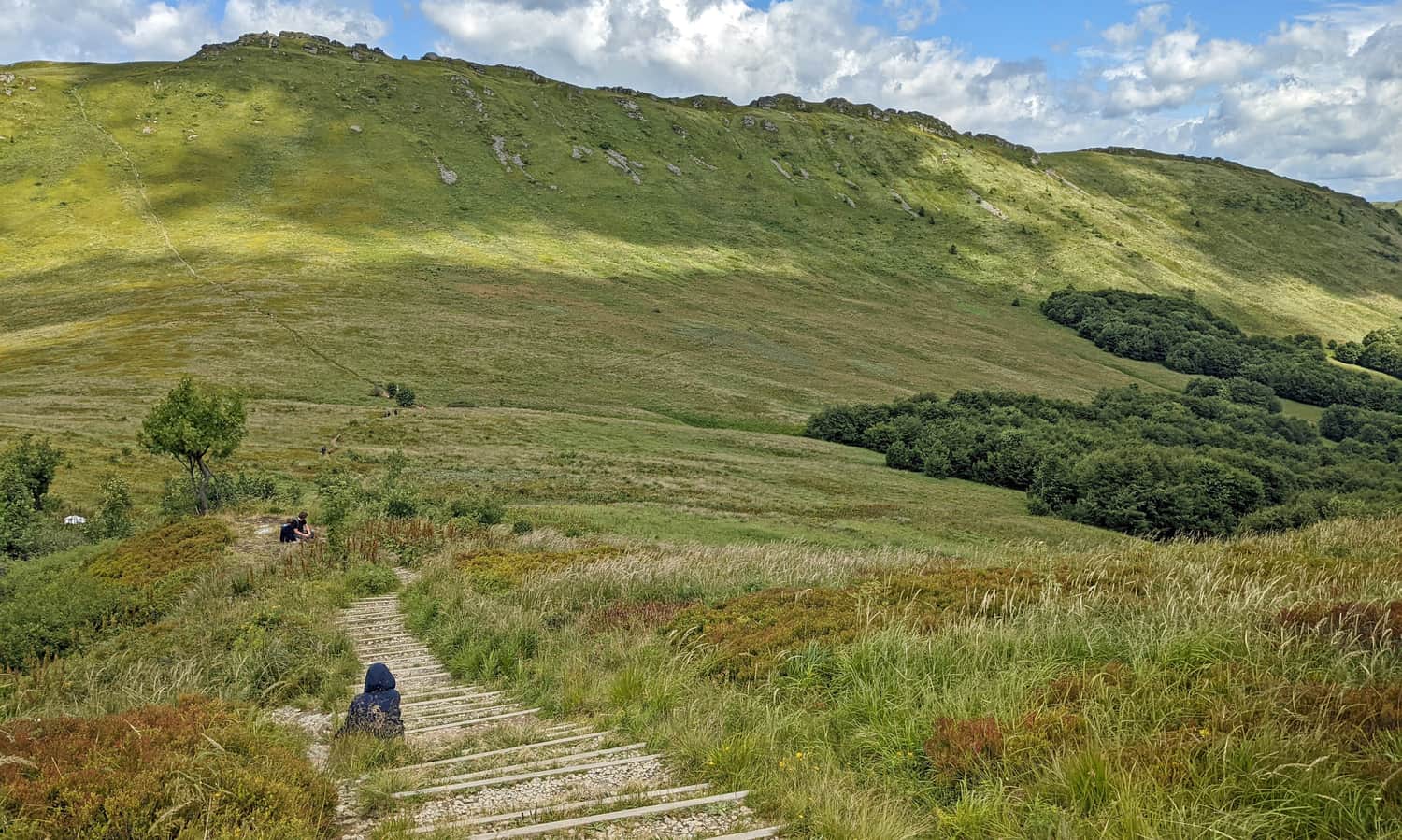
After leaving the forest, it remains the same: still steep. Sometimes over rocks, sometimes over stairs.
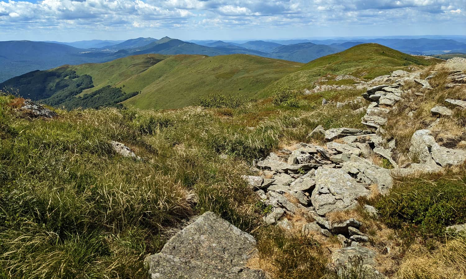
A certain consolation is that we begin to have views of the surroundings: the Wołosatka Valley and the neighboring border range. It is worth stopping and looking around!
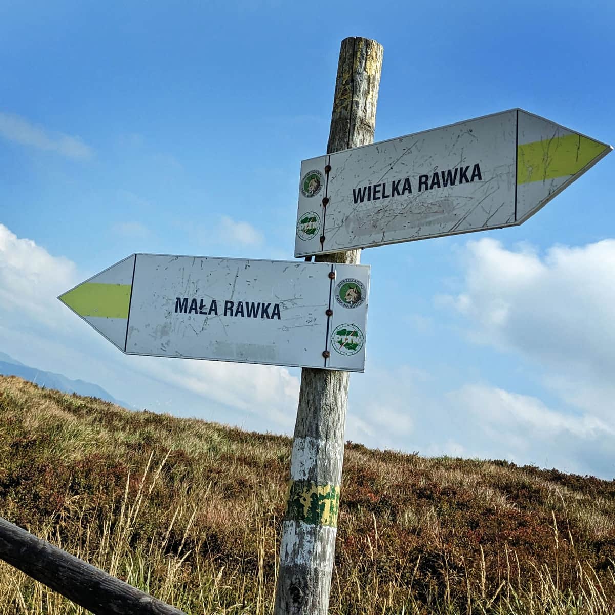
Pass under Tarnica
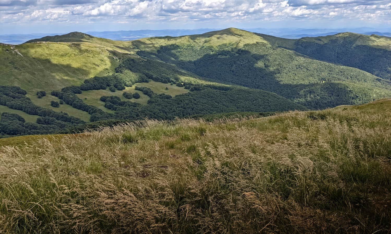
After about 2 hours of climbing on the Blue Trail, we will reach the intersection of all paths to Tarnica, which is the Pass under Tarnica.
Here, a magnificent view to the east opens up: the rocky ridge of Krzemień:
...and the beautiful range of Kopa Bukowska, Halicz, and Rozsypaniec:
Meanwhile, after resting at the pass, we continue climbing: a short yellow trail to the summit, which we should reach in about 15 minutes from the pass.
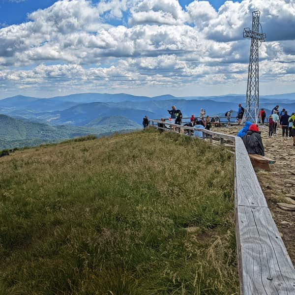
Tarnica 1346 m above sea level - the peak and the views
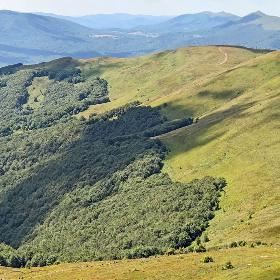
Congratulations! You have reached the highest peak of the Polish Bieszczady Mountains! In good weather, wonderful views await us from all four sides of the world!
What can we see from the summit of Tarnica? How did the peak get its name and the large metal cross? In this article, we write about everything worth knowing about Tarnica:
All roads and trails to Tarnica
Tarnica (1346 meters above sea level) is the highest peak of the Polish Bieszczady Mountains. It is famous for its beautiful views... and the queue to take a photo "with the cross." Discover interesting facts about the Tarnica summit and all the roads, trails, and loops to Tarnica! ...
P.S. If not the Blue Trail, then what?
Are you afraid that the shortest trail to Tarnica will be too steep and too difficult? Quite rightly so. Additionally, it is worth considering that during the season, this relatively narrow trail can get very crowded... This route is definitely better suited for descending from the summit.
Instead, we recommend taking the red trail from Ustrzyki Górne to conquer the summit of Tarnica: it is longer, with greater elevation gain, but due to the fact that steep sections alternate with flatter ones, it is less tiring. And besides, it offers breathtaking views!
Medium
Recommended Scenic Trail to Tarnica - Red Trail from Ustrzyki Górne


More in the Region Bieszczady (Bieszczady)