check_circle Slopes
check_circle Large-wheeled stroller
check_circle Mainly in the sun
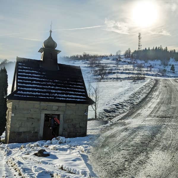
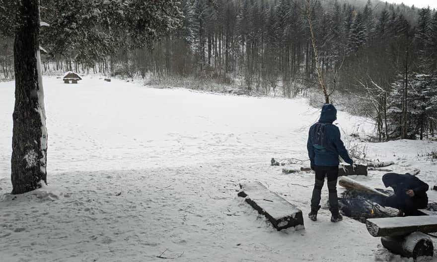
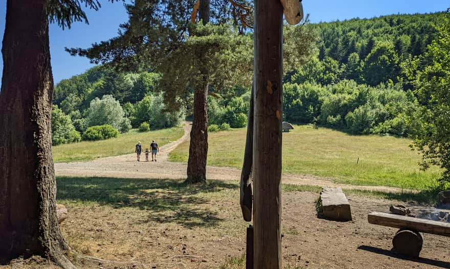
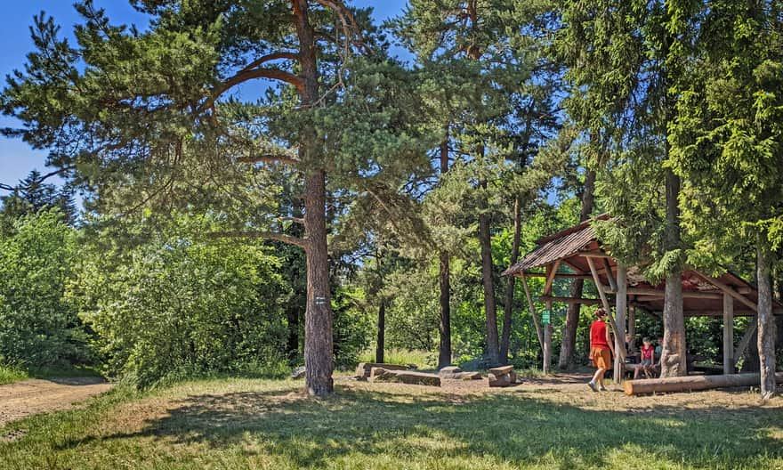
Sucha Polana on Sucha Pass (710 meters above sea level), near Poręba, is a picturesque and peaceful place between the ridges of the Beskid Wyspowy: Łysina and Lubomir in the south, and Kamiennik in the north. You can organize a family picnic here, have a bonfire in the designated fireplace, and relax under a shelter.
Both in winter:
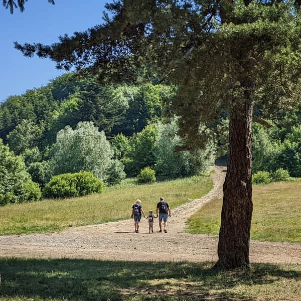
And in summer:
How to get to Sucha Polana?
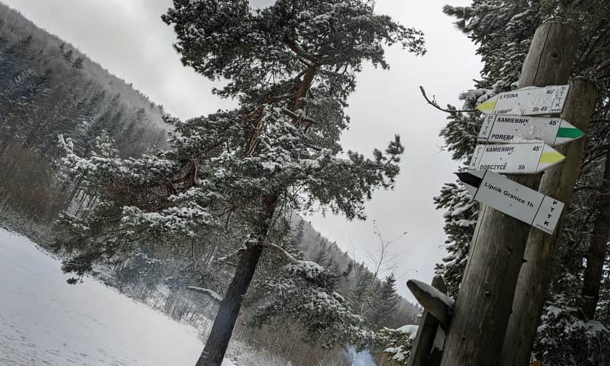
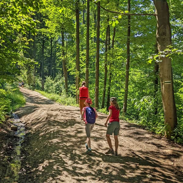
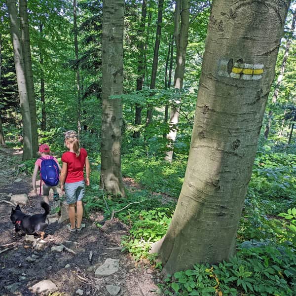
Several tourist trails and forest access roads intersect at Sucha Polana:
The shortest and easiest way to Sucha Polana
The easiest route leads through a forest road from Lipnik (2.5 km):
Easy
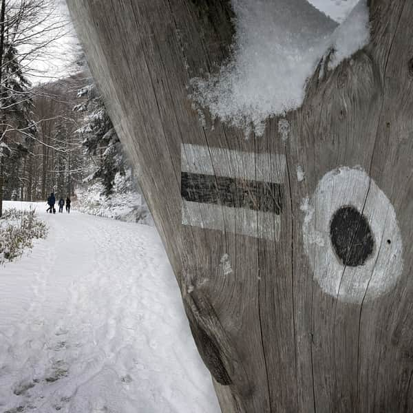
New black trail to Polana Sucha
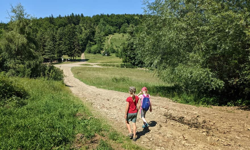
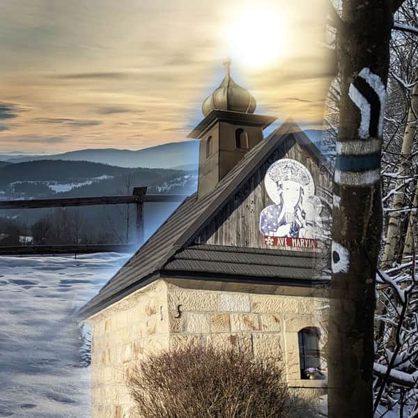
... or also a wide forest road from Poręba (4 km, 300 m elevation gain, accessible for strollers with large wheels and mountain bikes). After the church (parking area), head west towards the "Pod Kamiennikiem" Center, then take the forest road for about 1-1.5 hours of walking to reach the meadow.
From Poręba to Sucha Polana via Kamiennik - green trail
A longer walk, but with the opportunity to reach the summit of Kamiennik along the way!
Medium
From Poręba to Kudłacze Shelter via Kamiennik
From PTTK Kudłacze Shelter to Sucha Polana
The shortest route from Polana Kudłacze (parking area just below the shelter) to Sucha Polana is the green trail, but you can also take the red trail to Łysina and descend to the meadow on the yellow trail.
Trails around Sucha Polana
After enjoying a picnic at Sucha Polana, you can take a walk in the area: climb the summit of Kamiennik (on the northern side of the meadow), Łysina, or Lubomir. You can also visit the viewpoint, astronomical observatory on Lubomir, or the PTTK Shelter on Polana Kudłacze.
From Sucha Polana to Kudłacze
The easiest and fastest way to get there is via the green trail. The shelter offers bar dishes, a playground, and a scenic meadow.
Medium
From Sucha Polana to Kudłacze, the Green Trail
From Sucha Polana to Lubomir (observatory and viewpoint)
You can take the yellow trail to reach the summit of Łysina, and from there, head to the viewpoint and astronomical observatory on Lubomir:
Medium
Łysina - Sucha Polana, yellow trail
By using the red or black trail, you can also make a loop: Sucha Polana - Lubomir - PTTK Kudłacze Shelter - Sucha Polana (8 km, 2 hours and 45 minutes).
Sucha Polana - trail map and points of interest
You can see all the described trails and the location of interesting places around Sucha Polana on this map:
Sucha Polana - facts and trivia
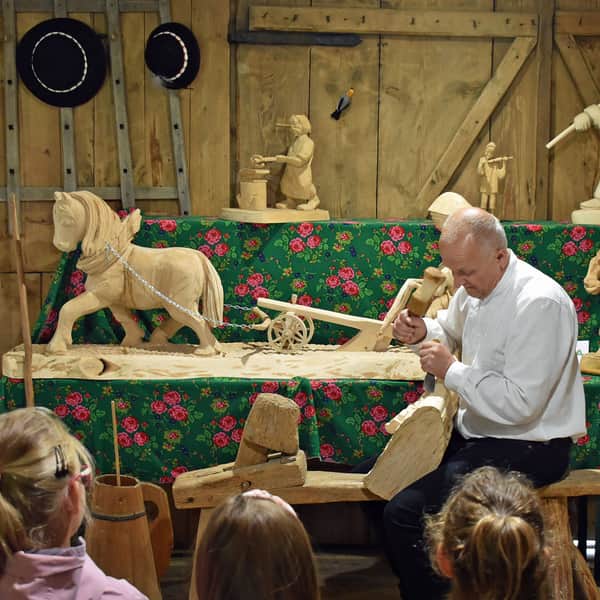
In the past, Sucha Polana was used for grazing sheep and had a shepherd's hut. In the second half of the 20th century, there was a campsite and a forest ranger's lodge here. There were also plans to build a PTTK shelter, which eventually ended up on Polana Kudłacze, while Sucha Polana has a shelter and a place for a bonfire.
If we run out of water, the nearest spring is located on the slope of Łysina along the yellow trail (indicated in the photo on our map).
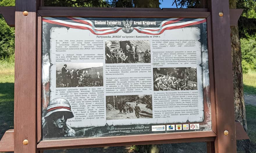
Home Army Partisans at Sucha Polana
During World War II, Sucha Polana became famous as a base for Home Army partisan units, and there were partisan observation towers on the Łysina hill overlooking the meadow. In the summer of 1944, these areas belonged to the so-called Raciechów Republic - an area abandoned by the Germans and controlled by the Home Army.
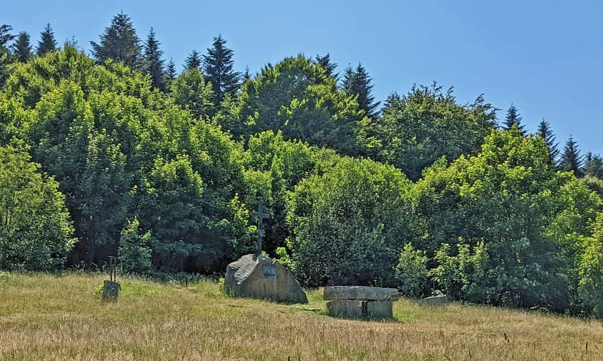
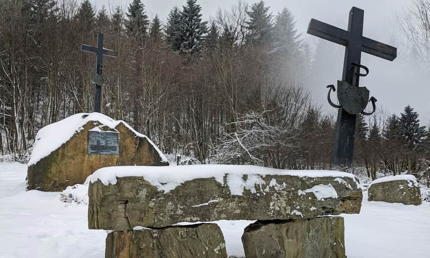
Today, you can find informational plaques, commemorative boulders, and a field altar here.
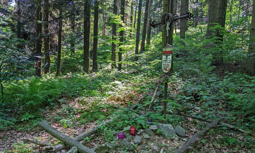
Furthermore, along the red Kudłacze - Łysina trail, there is a symbolic grave of Home Army soldiers:
AK Anchor Insignia at Sucha Polana
While at Sucha Polana, it is worth finding the original metal insignia placed on the anchor of the Polish Fighting and Independence Organization. It is associated with an interesting story. Initially, it was located on the summit of Lubomir, placed there by Lieutenant Ryszard Mazur, codename Rymsza, as a thanksgiving and a memento of saving his partisan unit from a German ambush on September 15, 1944. After Mr. Ryszard's death, the symbol was torn down and destroyed. It was stored in the Kudłacze Shelter for some time and can now be seen on the field altar at Sucha Polana.
Sucha Polana - closest location of crocuses to Krakow
Apparently, Sucha Polana is the northernmost location of the Spiska saffron, also known as famous spring crocuses, in the Beskids. If you manage to observe them, be sure to send a photo!


Publish Date: 2022-06-30
Last Updated: 2023-11-29
More in the Region Beskid Makowski (Beskid Makowski)
Total Length 96 km