Yellow sledding trail from Karpacz
Nearby: Jelenia Górabeach_access Route in the shade
restaurant Restaurant or bar nearby
directions_car Access by car
directions_bus Can be reached by bus
train Access by train possible
wc Toilet along the route
The Yellow Trail starts from Olimpijska Street. The road is called the sledding trail because in the early 20th century, this is where the sledders used to go down. They started from the current Strzecha Akademicka shelter and went all the way to Karpacz!
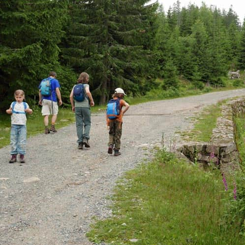
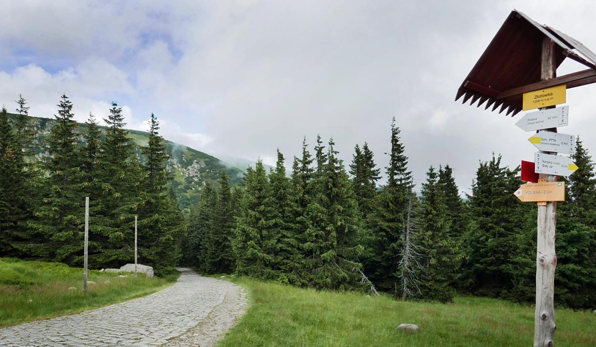
Start of the Yellow Trail in Karpacz, parking
The Yellow Trail begins at the bus stop at the intersection of trails on Turystyczna Street. From here, we hike up Karkonoska Street or take the Biały Jar cable car to the beginning of the forest path. There is parking available for motorists on Olimpijska Street (near the lower station of the cable car to Kopa, paid).
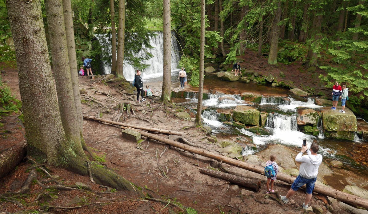
At the beginning of the forest trail, we buy tickets to the Karkonosze National Park and also have our first attraction - the "Wild Waterfall," which is actually artificial. It is a more than a hundred-year-old watercourse that slows down the flow of Łomnica. But it is still worth a stop!
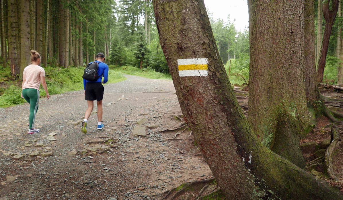
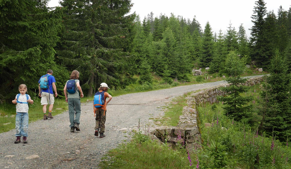
The road is quite wide, paved, sometimes gravelly, without very steep ascents, but it constantly goes uphill. It leads us through the forest, but mainly to the south, so on a sunny day, it may be difficult to find shade at times.
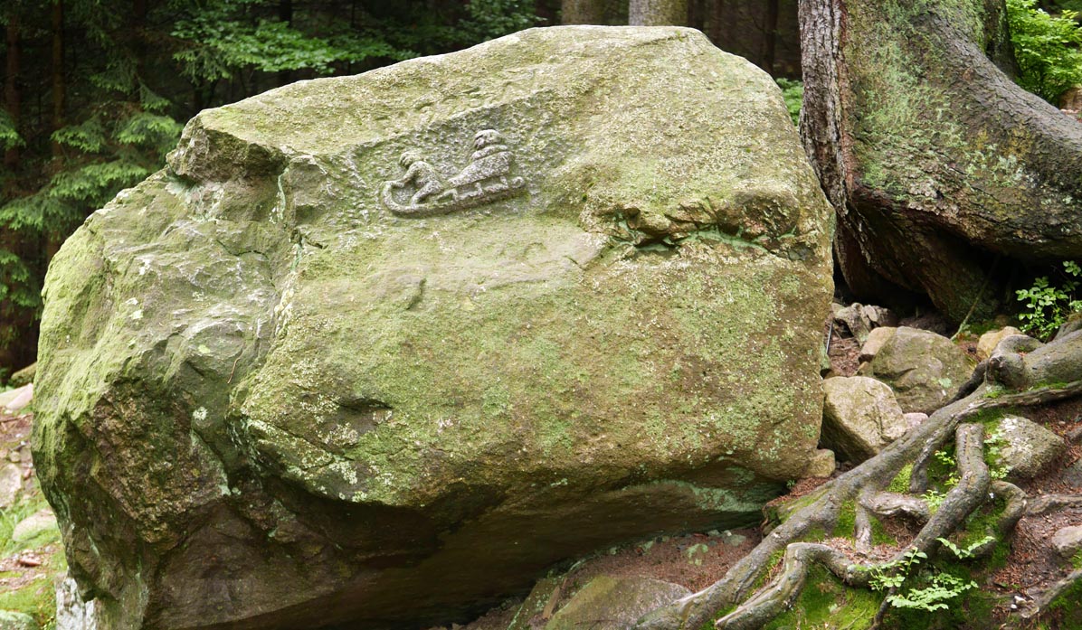
Look carefully because on one of the roadside boulders, you will see an image carved of horned sleds from 1925, on which daredevils used to ride down this track. This is a sign that we are roughly halfway through our climb!
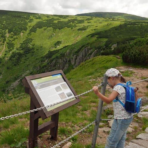
The most steep section is the last part of the trail, but it gradually opens up views of the Silesian Ridge above the Mały and Wielki Staw, where we can see Słonecznik and Pielgrzymy.
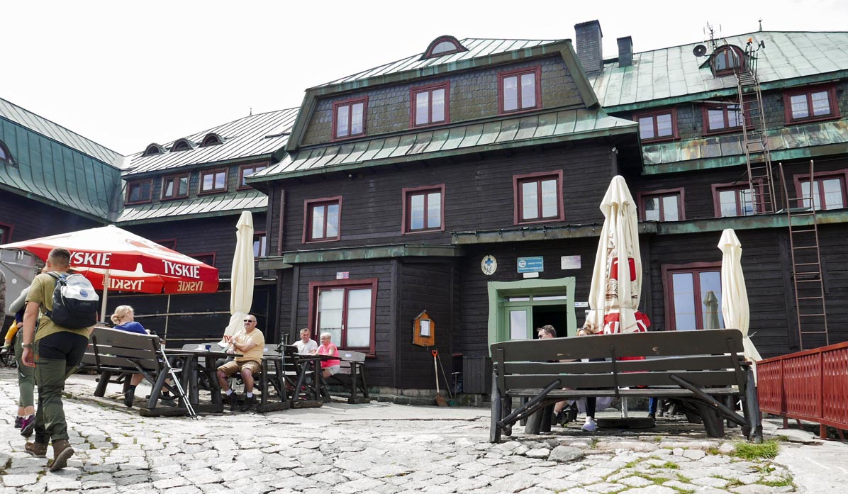
We reach Hala Złotówka, the main road to Śnieżka, and the large Strzecha Akademicka shelter... and we see how high we have climbed above Karpacz! Would you dare to ride a sled down from here?
On the Yellow Trail to Śnieżka
The Yellow Trail also leads to the upper station of the cable car to Kopa (15 min) - we can descend by cable car to the starting point or continue on the black trail all the way to Śnieżka (from the Strzecha Akademicka shelter, it takes about 1 hour and 40 minutes one way).
On the Yellow Trail to Samotnia
From Hala Złotówka, it is worth descending to the charming Samotnia shelter near Mały Staw - only a 15-minute walk one way.
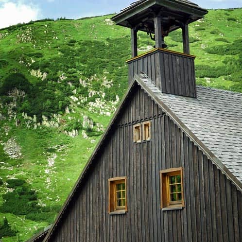
Samotnia Shelter above Mały Staw
The most beautiful place in the Karkonosze Mountains? Many would point to Mały Staw (Small Pond), with its charming shelter above it. ...
On the Yellow Trail to Słonecznik
...or if you feel like taking a longer walk (but not necessarily to Śnieżka), you can walk to Spalona Strażnica, go along the picturesque ridge above the Mały and Wielki Staw to Słonecznik, descend through Pielgrzymy to Polana, and then return exactly to the starting point on the Yellow Trail: Olimpijska Street and the bus stop on Turystyczna Street, following the green trail - Drogą Bronka Czecha.
Here is the description of the entire loop: yellow sledding trail - Samotnia - Słonecznik - Pielgrzymy - Polana - green trail.
Medium
Loop from Karpacz: Samotnia - Słonecznik - Pielgrzymy


More in the Region Sudety (The Sudetes)