To Wysokie from Krempna
Nearby: Gorlicewb_sunny Route in the sun
directions_car Access by car
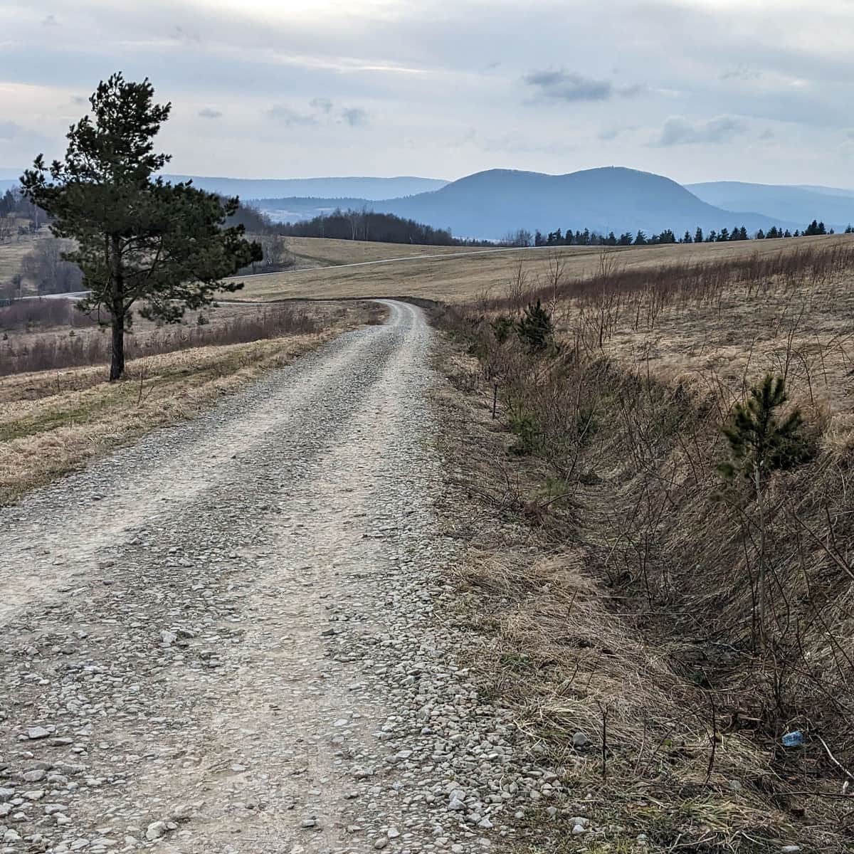
In the Low Beskids, scenic trails and viewpoints with expansive panoramas are rather rare - even more reason to choose Wysokie after forest paths and valley walks!
The green trail from Krempna will lead us to the summit of Wysokie in about 2-2.5 hours. The downside is the need to walk 5 km on an asphalt road through the Magurski National Park from Krempna to Ożenna (the road passes by the reservoir dam).
You can drive to the reservoir by car (there is a large parking lot) - it's always 1 km less on asphalt road, or alternatively drive to the park boundary and leave the car on the side near the MPN forester's lodge (there are no designated parking spaces, so it's about another 2 km to the entrance on foot), or you can obtain permission to enter from MPN (there are daily limits), ride a bike, or walk along the roadside (about 1-1.5 hours - the road goes uphill).
The route to Wysokie will be more interesting (and we will spend less time climbing on asphalt) if we combine it with a walk on the Kiczera Nature Trail around Kiczera Żydowska. IT'S REALLY WORTH IT!
Starting from Krempna, we can enter the trail "from the back":
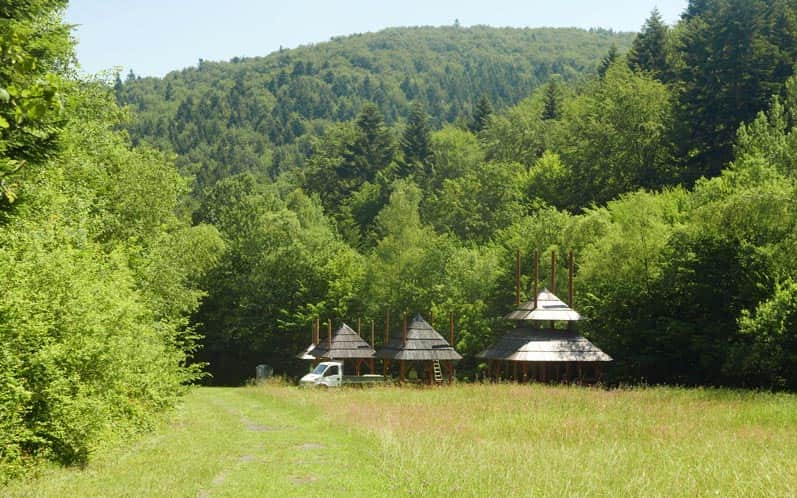
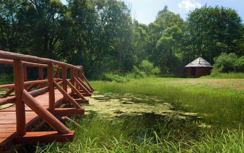
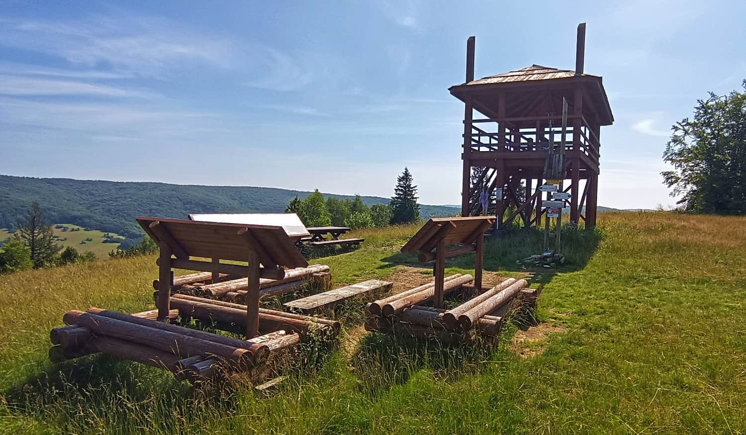
The trail is not marked here, but it cannot be missed because there is no other way. If we reach a clearing with wooden shelters beyond the barrier, it means we have found the right path.
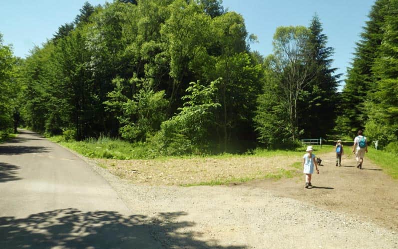
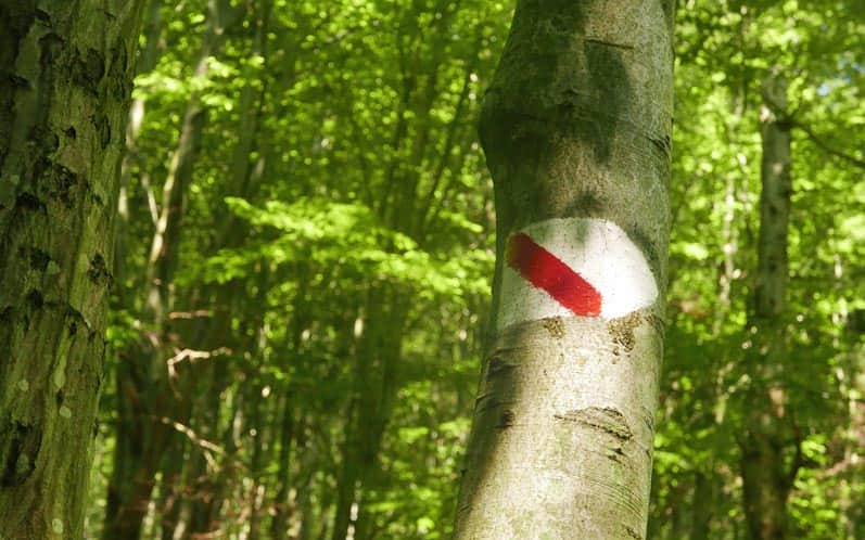
Through the clearing, we walk towards the forest and after a while, we turn left onto a bridge. The trail is well-marked, but "one-sided" (we have to look at the trees "from behind".
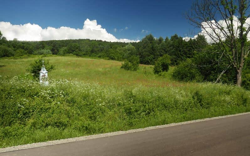
Along the way, we pass the stops of the trail (numbers 11 and below) and a beautiful meadow with a view of our destination. More about the Kiczera trail here.
After about 30 minutes, we will reach a wooden shelter and a crossroad of the trail with the green trail. From here, it takes about an hour to reach the summit.

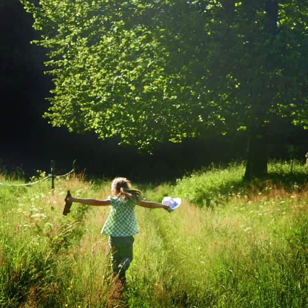
The trail leads through meadows, sometimes along the edge of the forest, always uphill... On a sunny day, it will require some effort, but it will be rewarded with increasingly beautiful views.


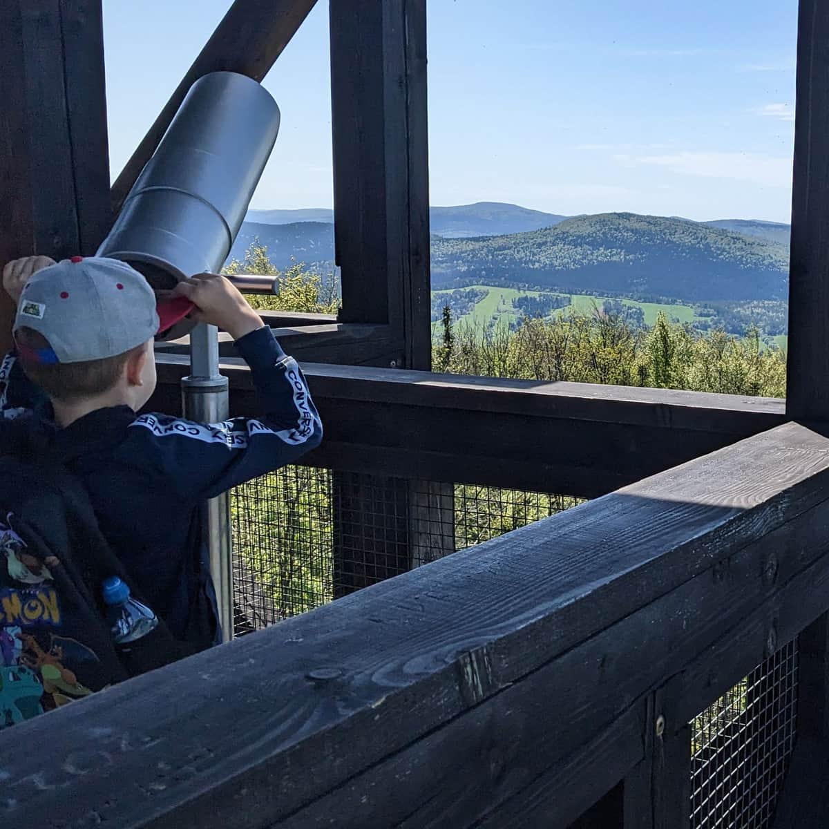
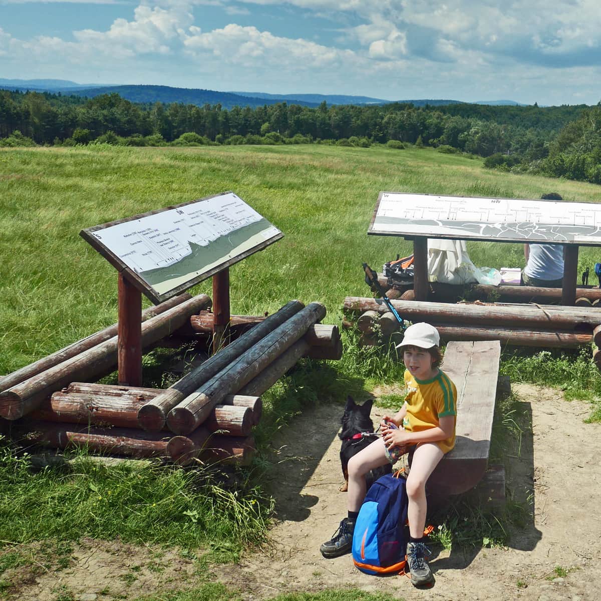
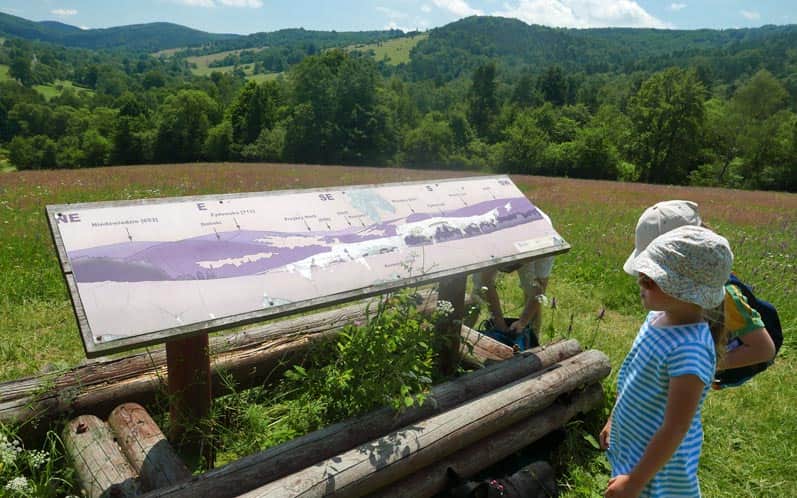
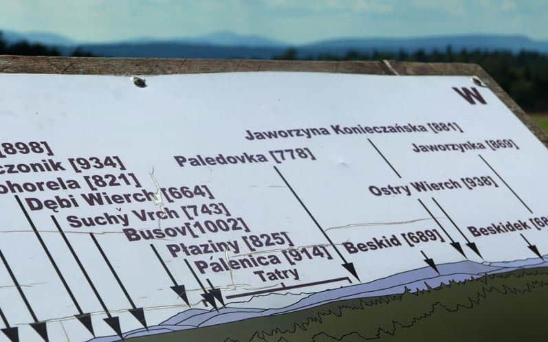
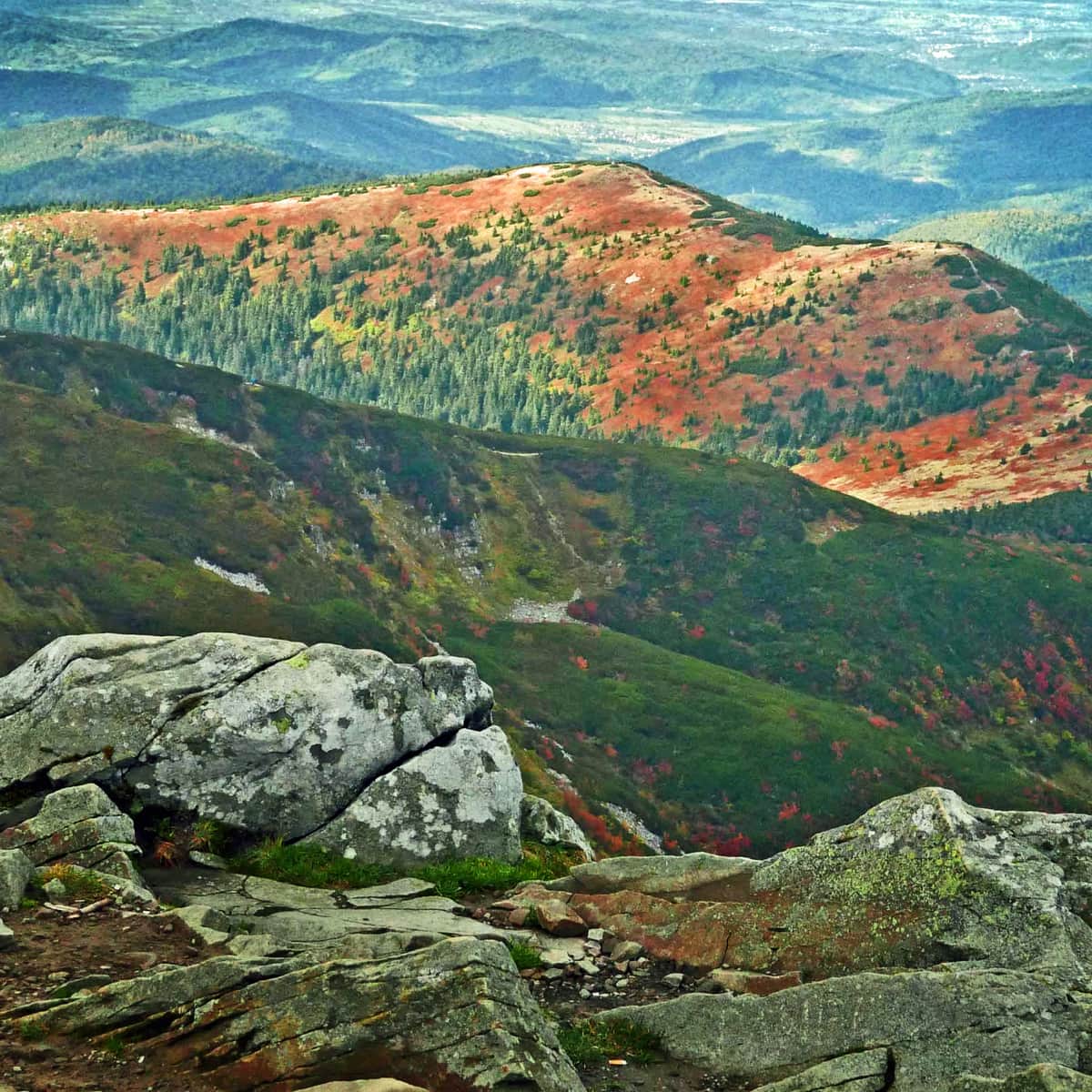
At the summit: panoramas on 3 sides of the world!

With a bit of luck and good visibility, we have a chance to even see the Tatra Mountains!
It will certainly be easier if we use the observation tower:
We return the same way: through meadows, the Kiczera trail, or the asphalt road (going downhill won't take as long...)
In Krempna, we recommend visiting the historic Orthodox church, exploring the Magurski National Park Museum, taking a walk to the World War I cemetery on Łokieć Hill (15 minutes uphill from the Museum), and relaxing by the reservoir on the Wisłoka River (go down to the water just below the dam or at the ford next to the hanging bridge near the bend to Hutę Krempska).
P.S. This route has been included in the article "Beskid Niski - the most beautiful scenic trails". Would you like to learn about the others?
Beskid Niski - The Most Beautiful Scenic Trails
The trails in Beskid Niski are not too demanding, perfect for families with children and beginner hikers. ...
and in the article "Beautiful scenic trails in the Beskids". Would you like to learn about the others?
Beautiful Scenic Trails in the Beskids
Beskidy is not just forests! It's also scenic meadows and open ridges, offering breathtaking panoramas of the entire mountain range! ...

More in the Region Beskid Niski (Mountain range of the Low Beskids (Beskid Niski))