To Kasprowy Wierch through Dolina Kondratowa and Suchy Wierch
Nearby: Zakopanewb_sunny Route in the sun
warning No dogs allowed
How to get to Kasprowy Wierch?
This is not the shortest trail to Kasprowy Wierch, but definitely one of the most beautiful, leading along the mountain ridge. The trail is not technically difficult in good weather conditions, and there are no chains. We recommend it for older children who are already familiar with mountains. Since we walk along the ridge, the views are breathtaking, but we do not recommend this trail for people with a fear of heights. On the ridge itself, we overcome two small rocky ascents, which are the most challenging parts of the trail.
What to bring?
The trail leads along the ridge, which means it is usually windier here. It is worth packing a windproof jacket, hat, scarves, bandanas, etc. in your backpack.
Trail starting point
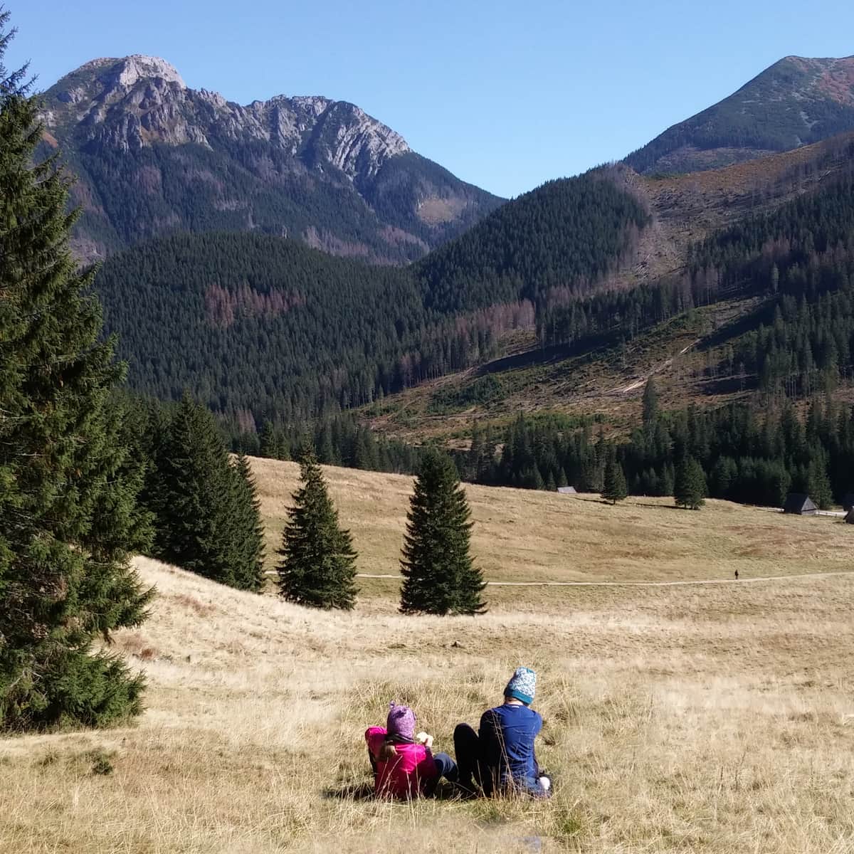
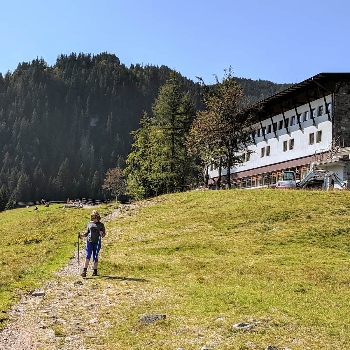
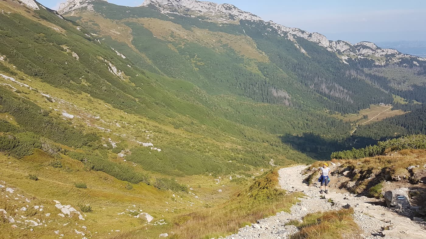
We start the trail at the lower station of the cable car to Kasprowy Wierch. From here, we follow the blue trail towards Polana Kalatówki and the PTTK Shelter on Hala Kondratowa.
Easy
Kalatówki Meadow

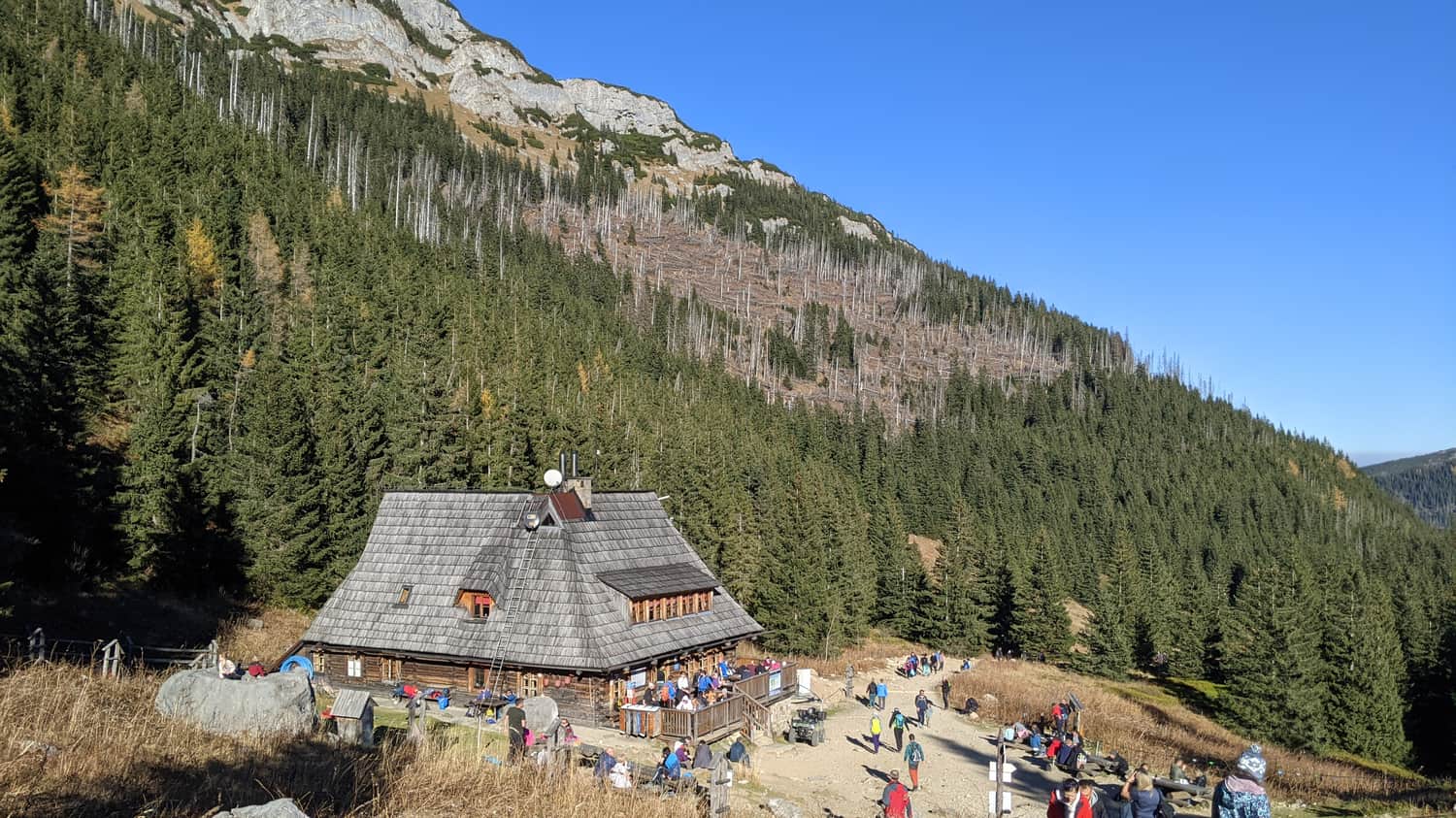
Kondratowa Valley
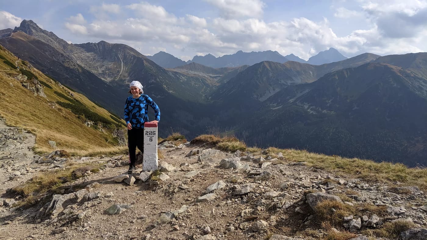
After the PTTK Shelter on Hala Kondratowa, the trails split - the blue trail continues towards Giewont, while we take the green trail - Dolina Kondratowa to Suchy Wierch Kondracki at an altitude of 1893 meters. The ascent is physically demanding but not technically difficult. We gain altitude by climbing rocky stairs.
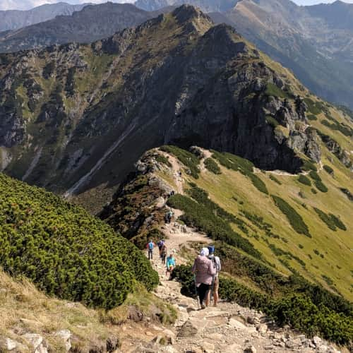
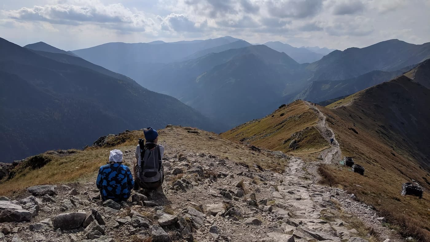
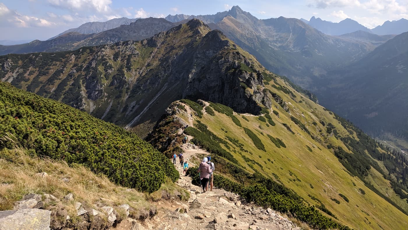
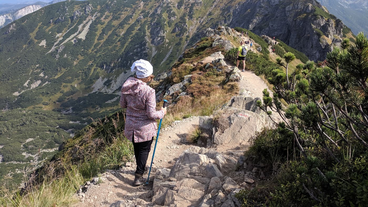
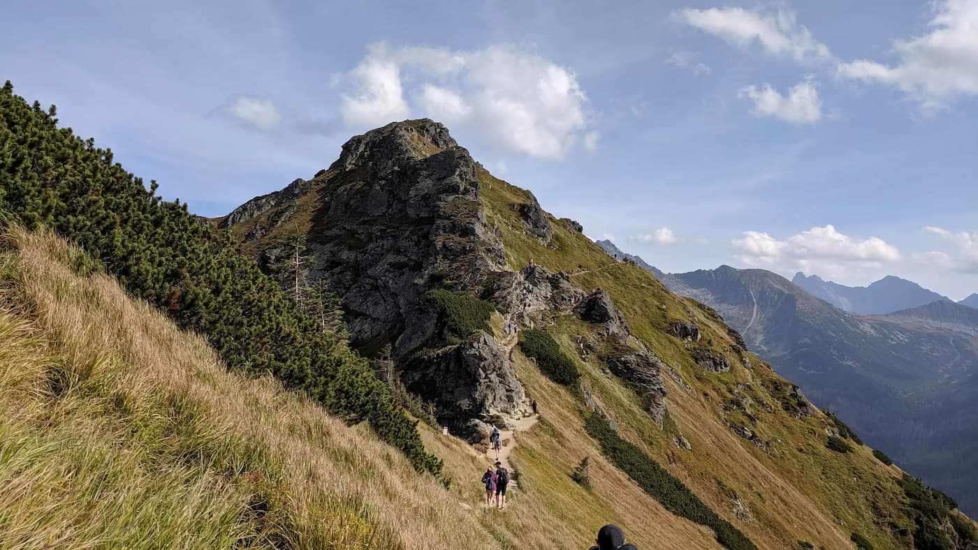
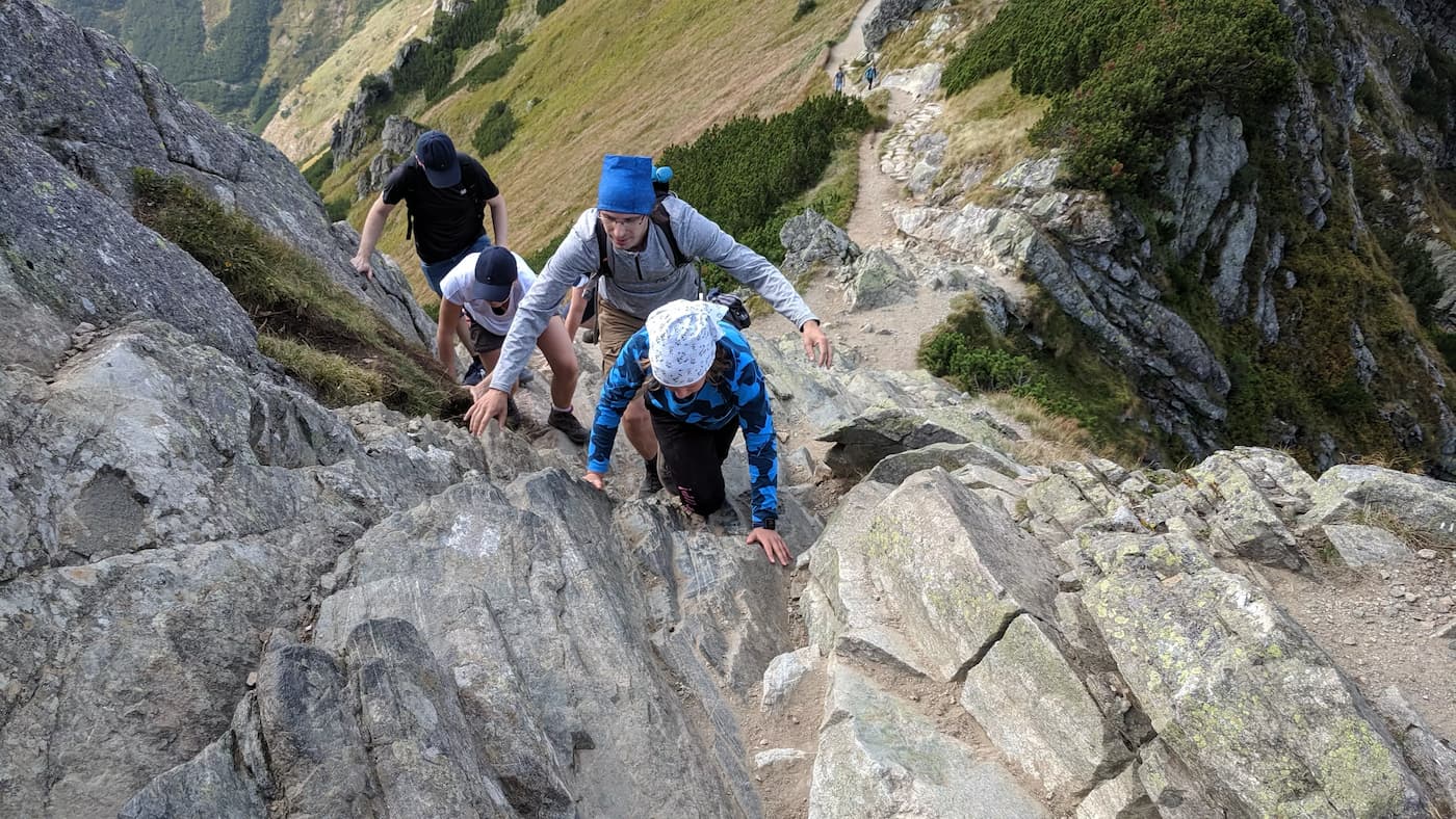
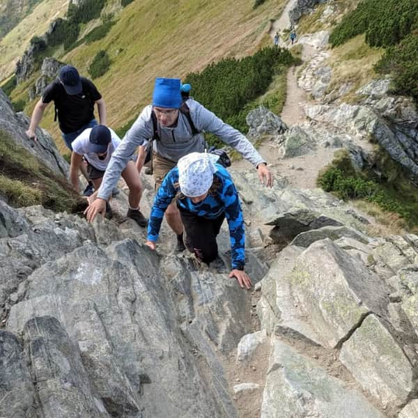
Red trail along the ridge of Suche Czuby
Grań Suche Czuby consists of three peaks between Suchy Wierch Kondracki and Goryczkowa Czuba. The red trail and the border between Poland and Slovakia run through here, so we have a view of the Slovak part of the Tatras. From Suchy Wierch, we have a view of Giewont. The path along the ridge is sometimes narrow, with two rocky ascents that we were concerned about, but ultimately, the ridge hike even for inexperienced mountain hikers like us did not pose significant technical difficulties.
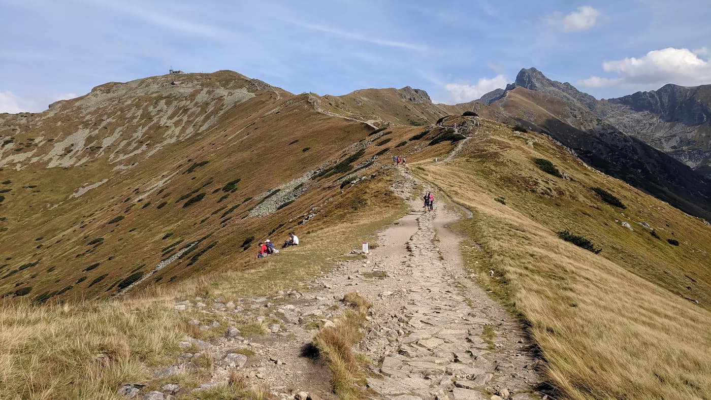
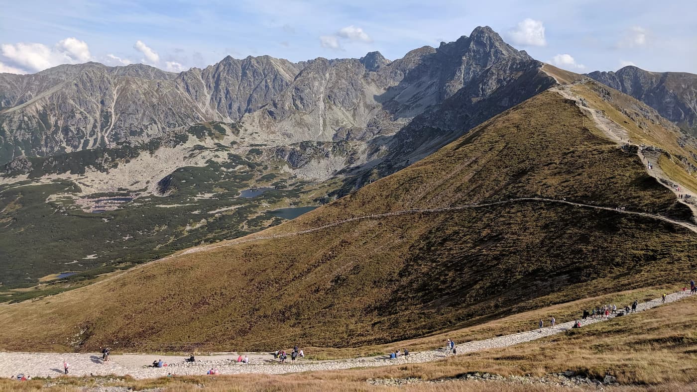
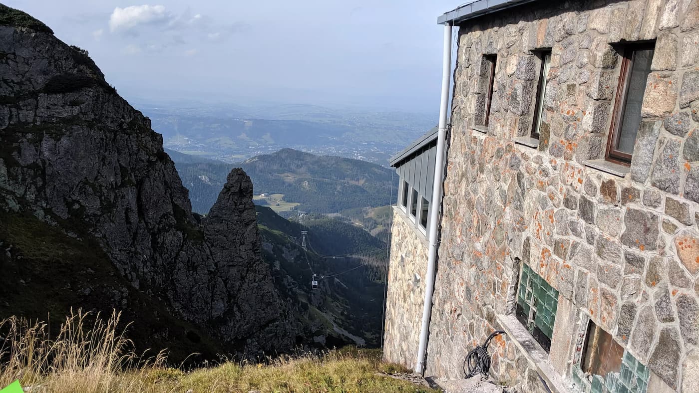
Kasprowy Wierch
Our concerns about buying tickets for the cable car descent fortunately turned out to be unfounded. At the top, the queue for the cable car was much shorter than at the lower station. We quickly purchased tickets and were already at the bottom in half an hour. Sitting in the cable car, we quickly lost the hours of arduous climbing :)
PS. We included this route in the article "Małopolska - trails for active families." Check out the others!
Małopolska - Trails for Active Families
Are you an active family who loves sports all year round and wants to test your fitness in the great outdoors? We have a few ideas on how to combine training with a tourist trip. ...

Publish Date:
More in the Region Zakopane (Zakopane)