The Green Trail to Mała Rawka from Przełęcz Wyżniańska
Nearby: Ustrzyki Dolne| Distance | 3.1km |
|---|---|
| Time | 1h 48min |
| Ascents | 415m |
| Descents | 14m |
beach_access Route in the shade
restaurant Restaurant or bar nearby
wc Toilet along the route
warning No dogs allowed
The Green Trail to Mała Rawka from Przełęcz Wyżniańska is the shortest and most popular route leading to the summit of Mała Rawka, as well as Wielka Rawka and Krzemień / Kremenaros, which is the meeting point of three borders. You can find more information about the trails to Rawka here: [link to the website].

Przełęcz Wyżniańska - the shortest trail to Mała Rawka
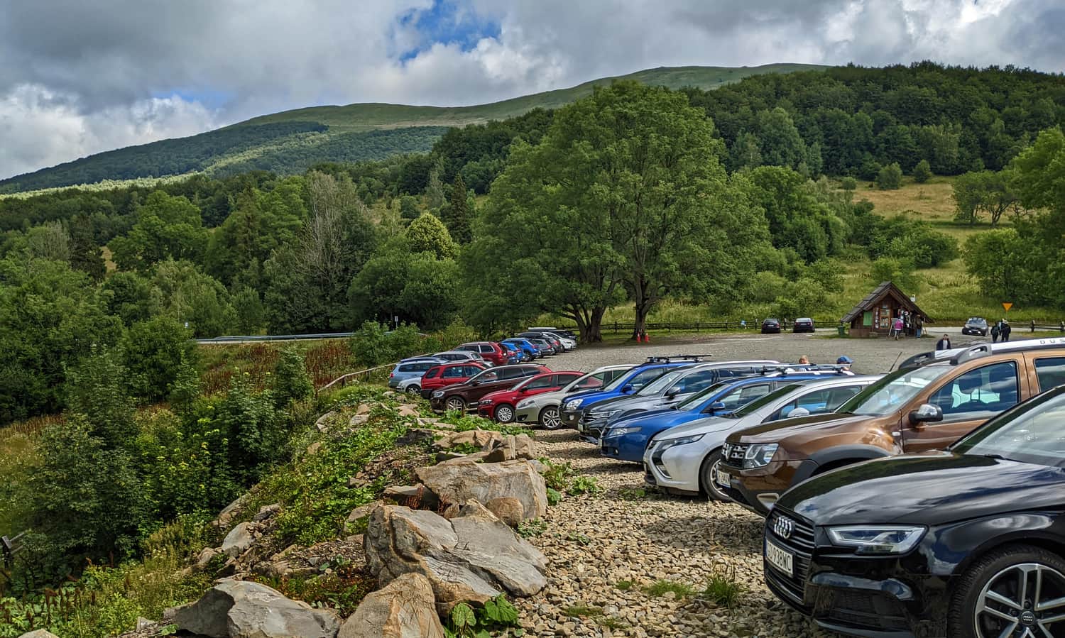
The easiest and quickest way to reach Mała Rawka is from Przełęcz Wyżniańska in Brzegi Górne. There is a large (and paid) parking lot available. Additionally, there is a ticket office for the Bieszczady National Park (tickets and souvenirs) and toilets. From the pass, you have two trail options: to Połonina Caryńska or to Mała Rawka.
Przełęcz Wyżniańska - Bacówka pod Małą Rawką
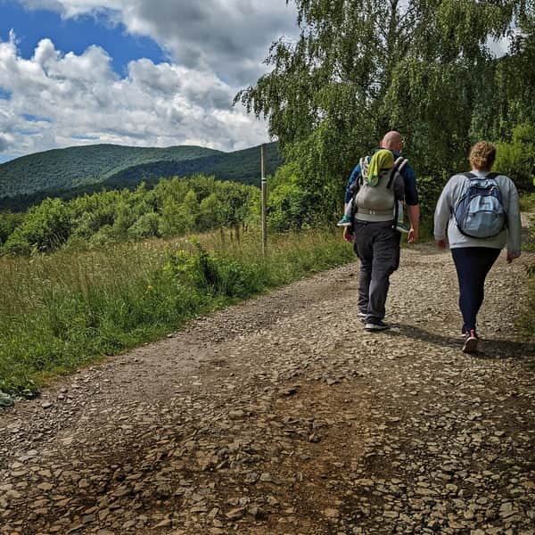
The first section of the trail is easy, enjoyable, and offers incredible views, which is quite rare! We describe it in detail here:
Easy
Trail to Bacówka pod Małą Rawka

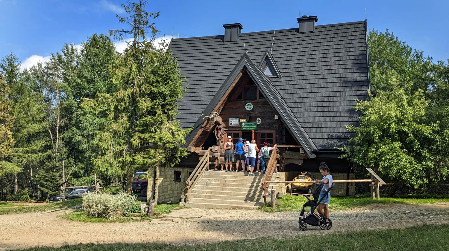
After about 30 minutes, you will reach the mountain hut. You can make your first stop here (the climb will start soon!). We recommend saving a longer break (e.g. for delicious pancakes with berries) for the return journey from the summit.
Bacówka pod Małą Rawką - Mała Rawka
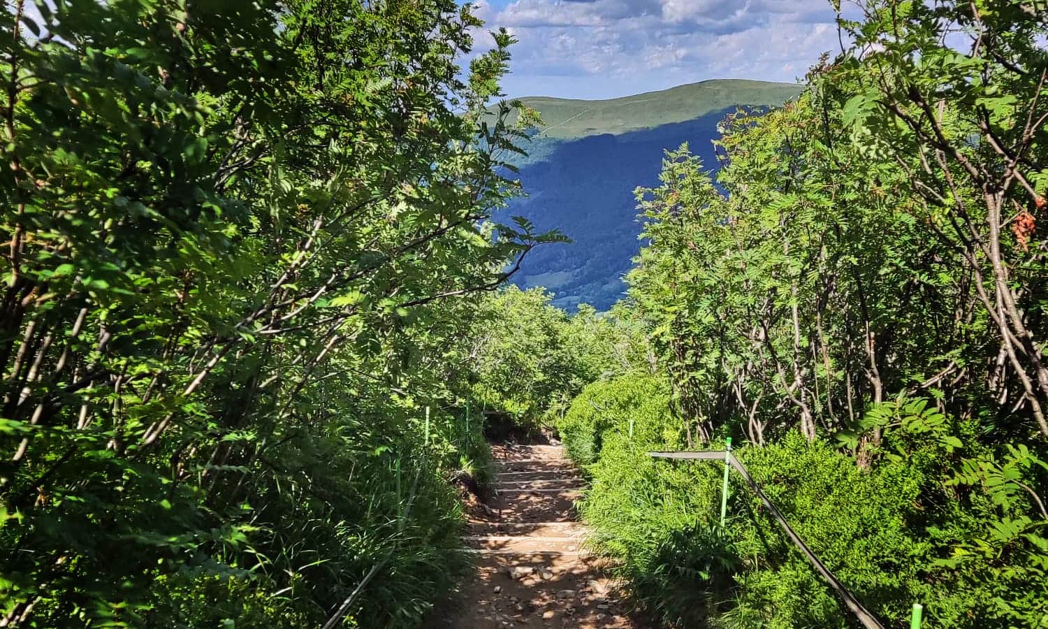
Now, on the other hand, you will encounter a path through the forest (on a hot day, it will be a shady oasis of coolness).
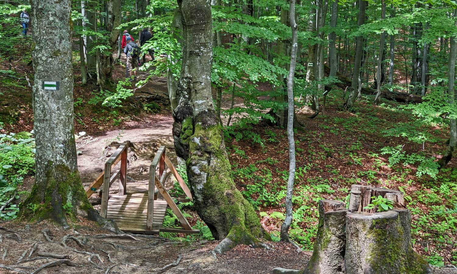
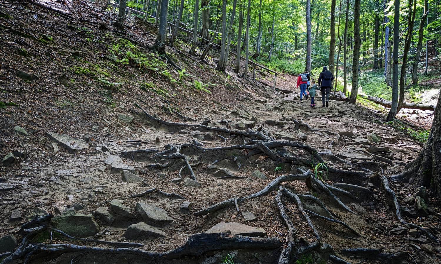
After an easy start, you will face a climb along the valley of a stream, sometimes quite steep, over roots and loose stones:
or stairs:
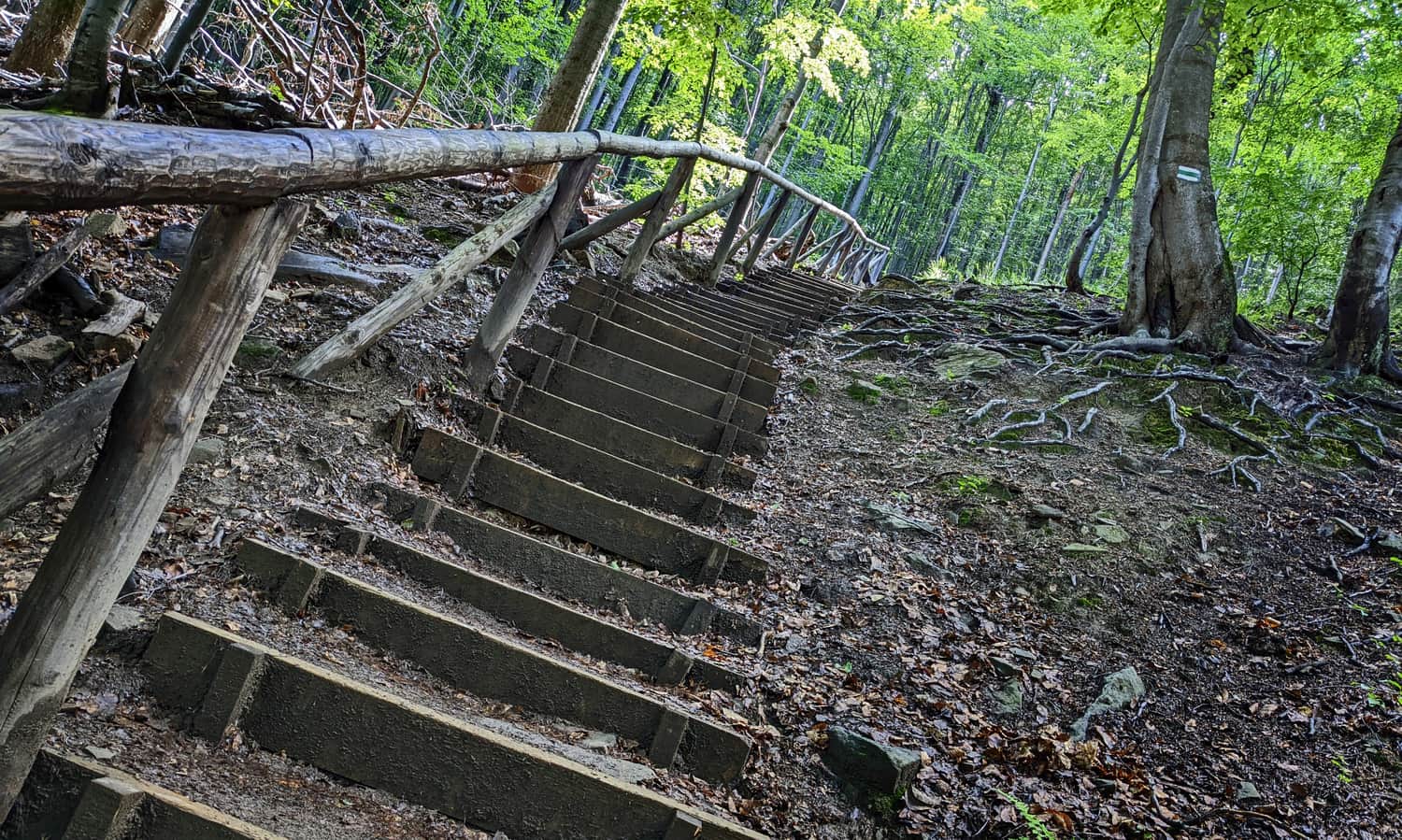
This section can be challenging for everyone - not just for little legs. Take frequent breaks and remember that it will get easier soon! It will become calmer before leaving the forest:
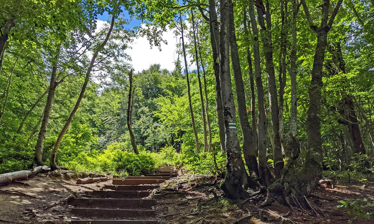
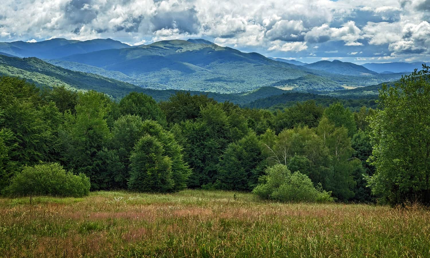
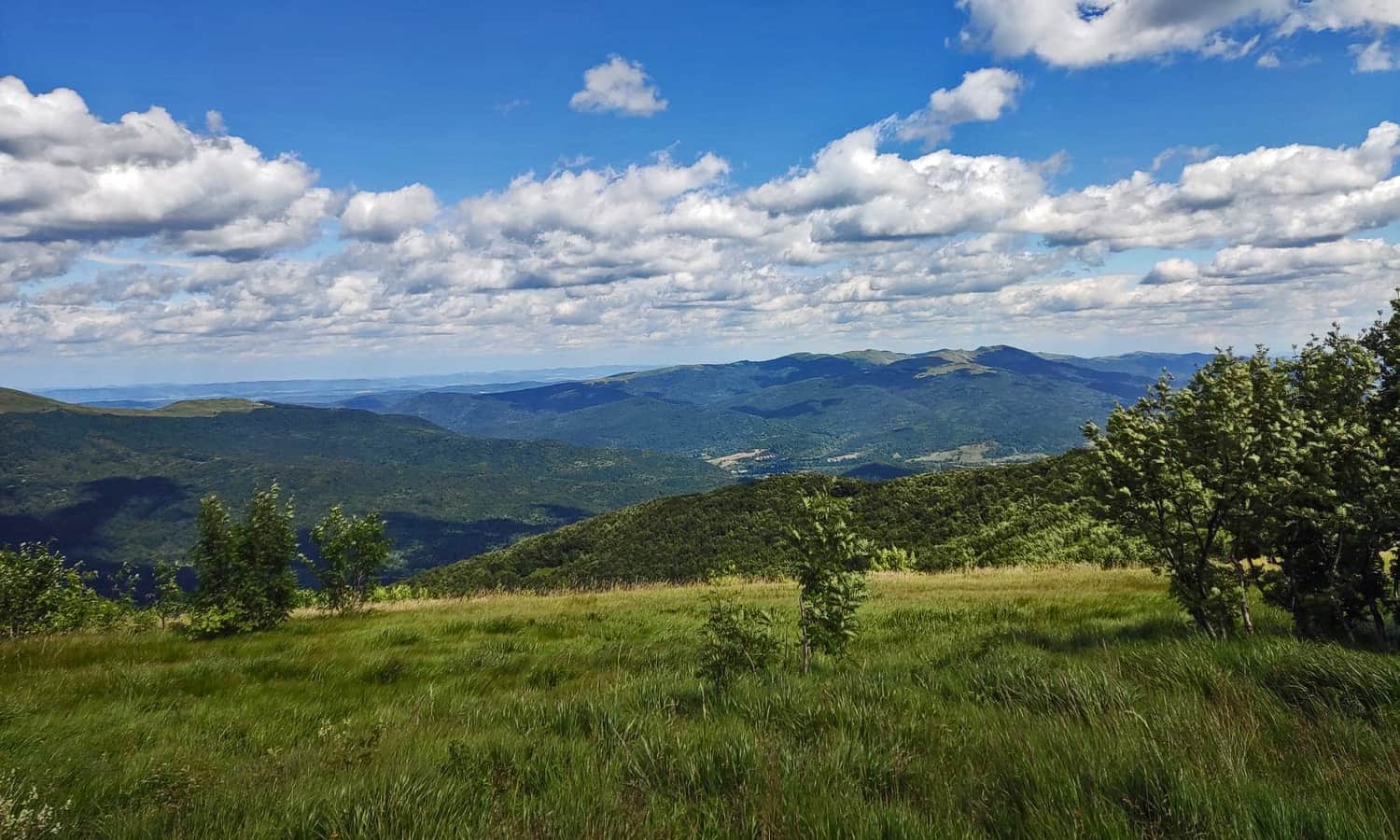
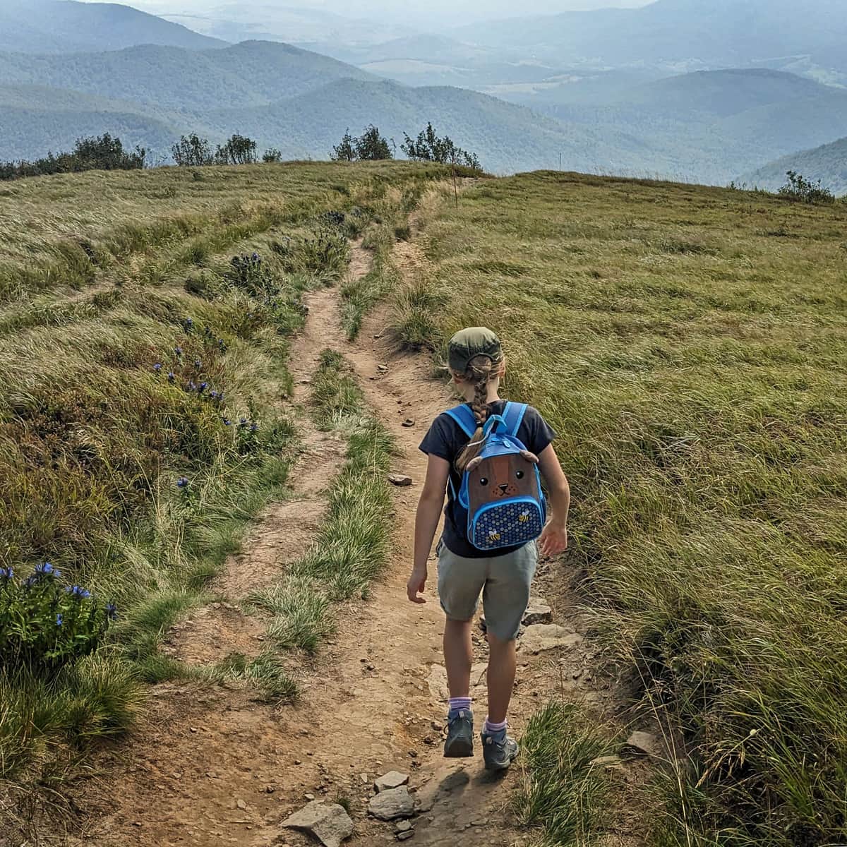
After about an hour from leaving the mountain hut (1.5 hours from the start of the trail at the pass), you will emerge from the forest, and the first views will appear! First, you will see Połonina Caryńska, which has accompanied you from the beginning of the trail:
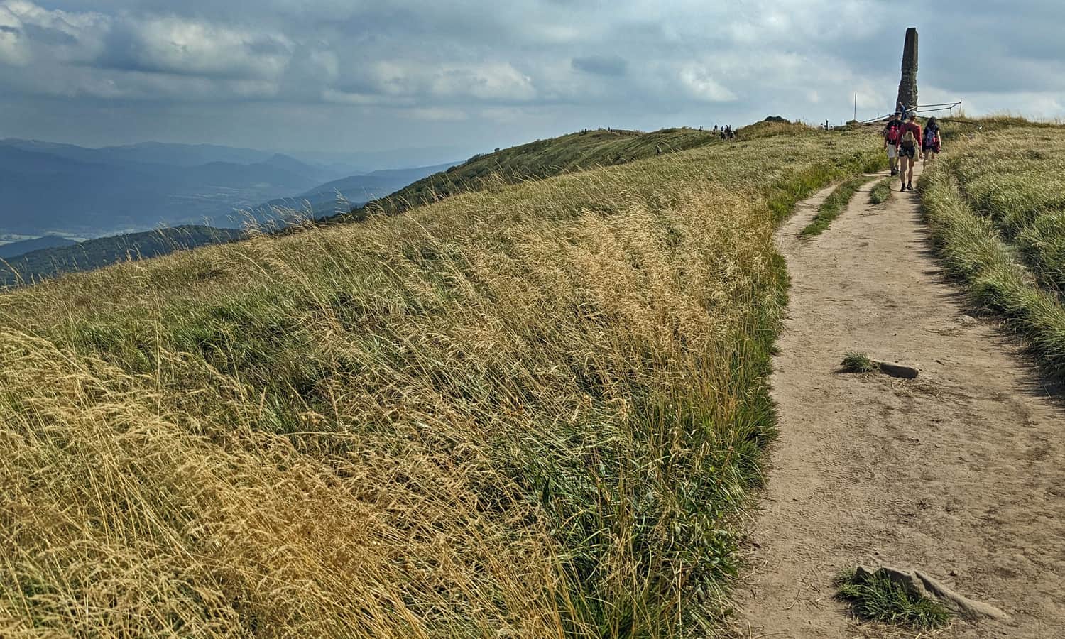
...and soon, much wider panoramas!
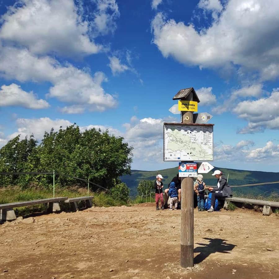
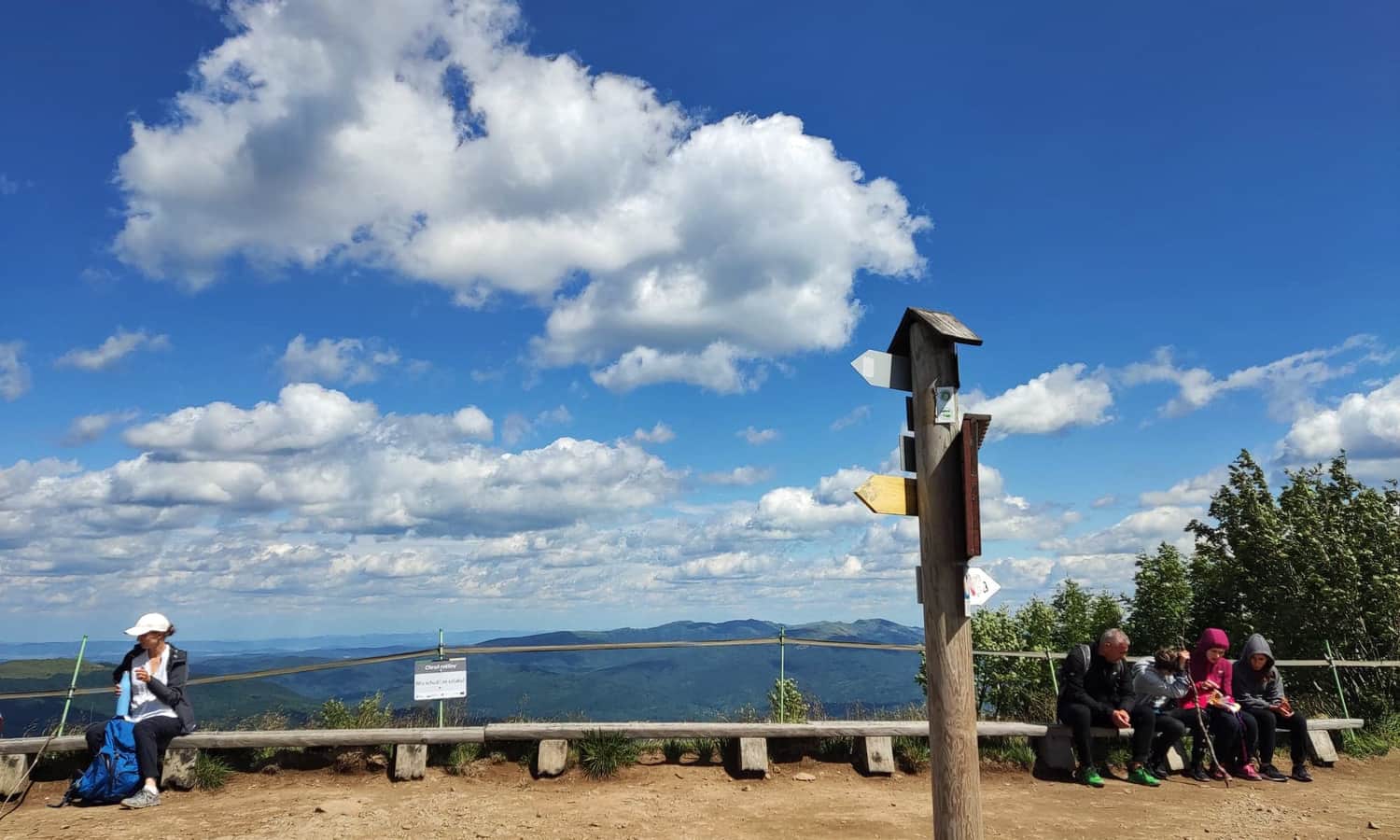
Summit of Mała Rawka, 1272 m above sea level
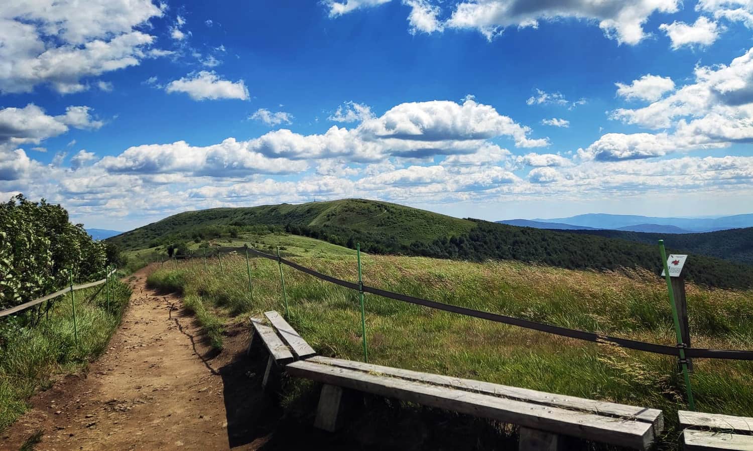
After resting at the summit of Mała Rawka, you can either return the same way or... continue further!
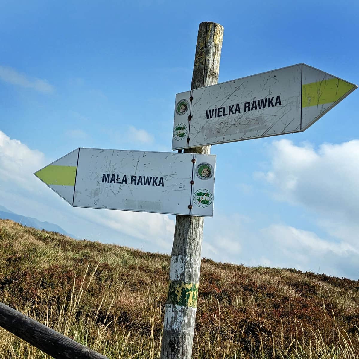
Look, Wielka Rawka is so close! It will be a very scenic walk along the ridge:
Wielka Rawka, Krzemieniec, and the Triple Border
In just about 20 minutes of walking along the yellow trail, you will reach the summit of Wielka Rawka:
Small and Big Rawka. All trails to Rawki
Rawki, or Big Rawka (1307 m above sea level) and Small Rawka (1272 m above sea level) are scenic peaks in the Bieszczady Mountains, famous for their beautiful meadows and panoramic views in all directions. How to get there and which trail to choose for Rawki? What can you see from Small Rawka and Big Rawka? ...
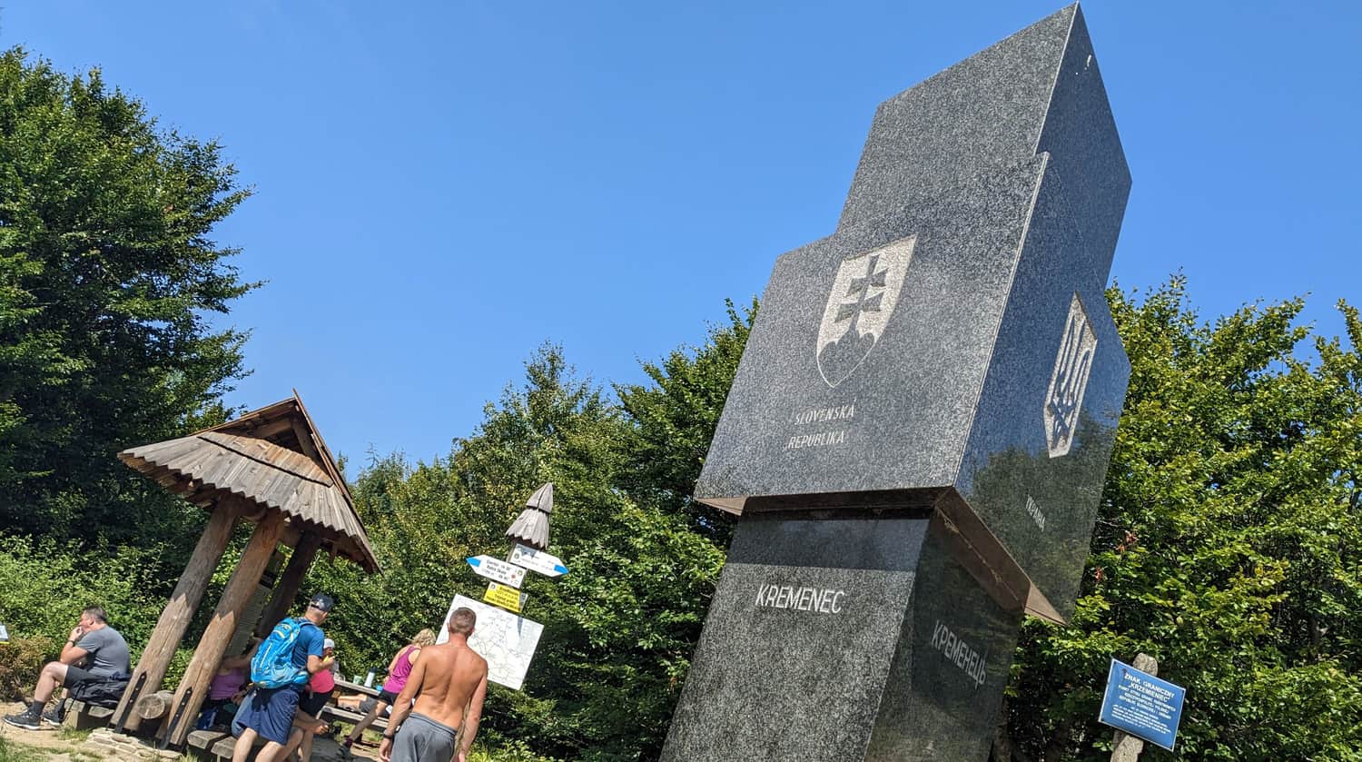
Then, after another 45 minutes along the blue trail, you will reach an interesting place: the point where the Polish, Ukrainian, and Slovak borders meet on the summit of Krzemieniec (also known as Kremenaros).
Medium
From Mała and Wielka Rawka to Krzemieniec / Kremenaros


Publish Date:
Last Updated:
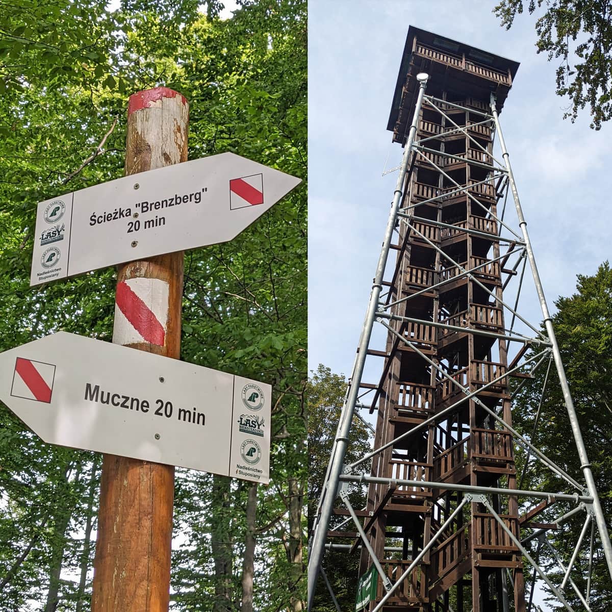
More in the Region Bieszczady (Bieszczady)