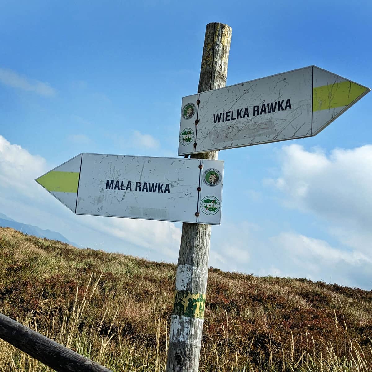
From Mała and Wielka Rawka to Krzemieniec / Kremenaros
Nearby: Ustrzyki Dolnewb_sunny Route in the sun
warning No dogs allowed
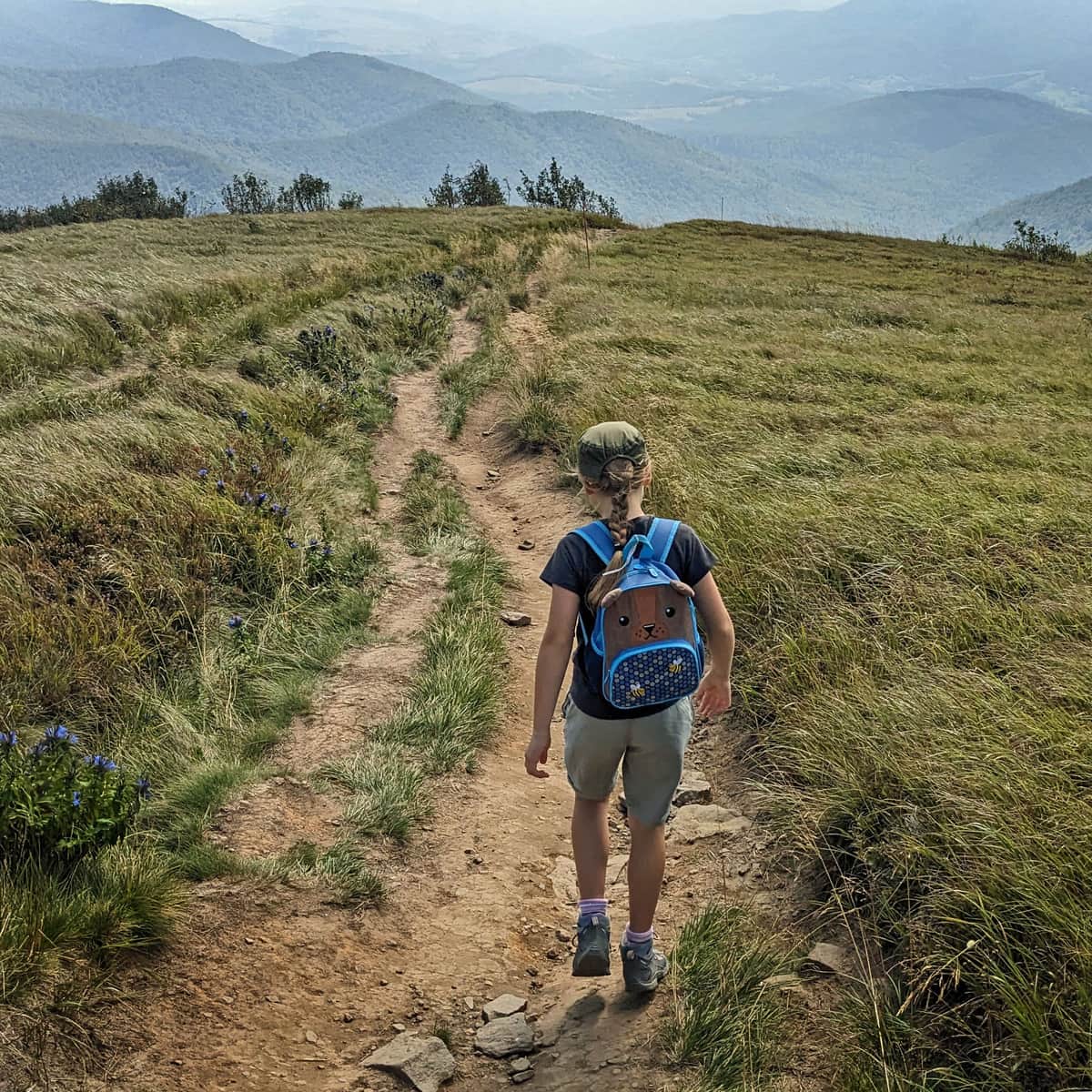
A walk along the ridges of Rawka Mountains (Mała and Wielka Rawka) is worth extending all the way to the tri-border point on the summit of Krzemieniec / Kremenaros. It is a unique place on the map of Poland, and at the same time, a very scenic route!
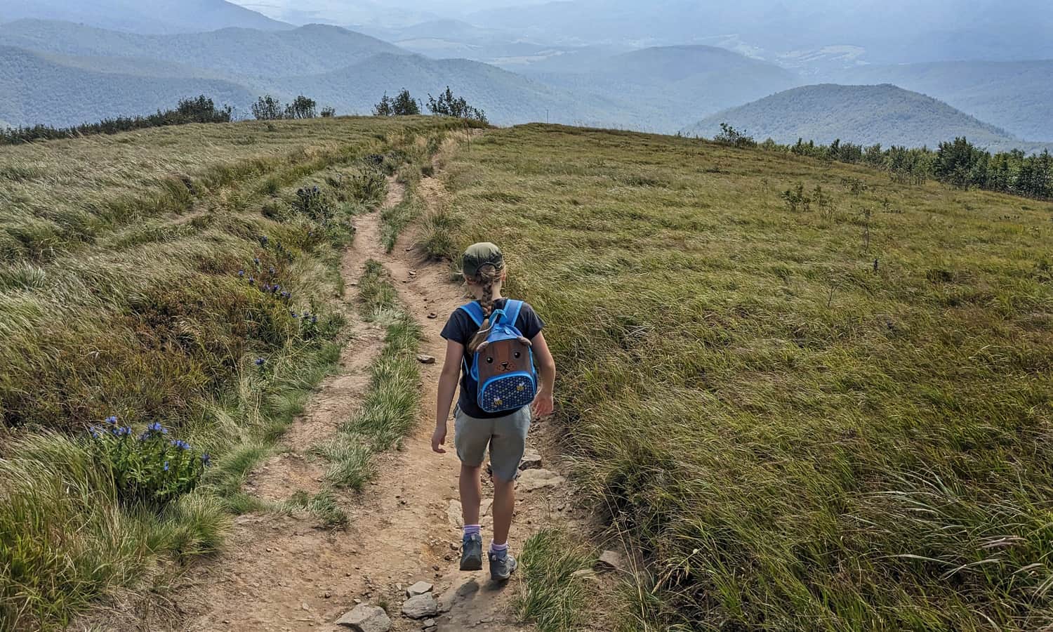
Mała and Wielka Rawka
If we start our hike from Mała Rawka (for example, after reaching here via the green trail from Przełęcz Wyżniańska >>>), we first follow the yellow signs to Wielka Rawka.
The hike from Mała Rawka to Wielka Rawka should take us about 30 minutes and will surely provide us with many breathtaking views!
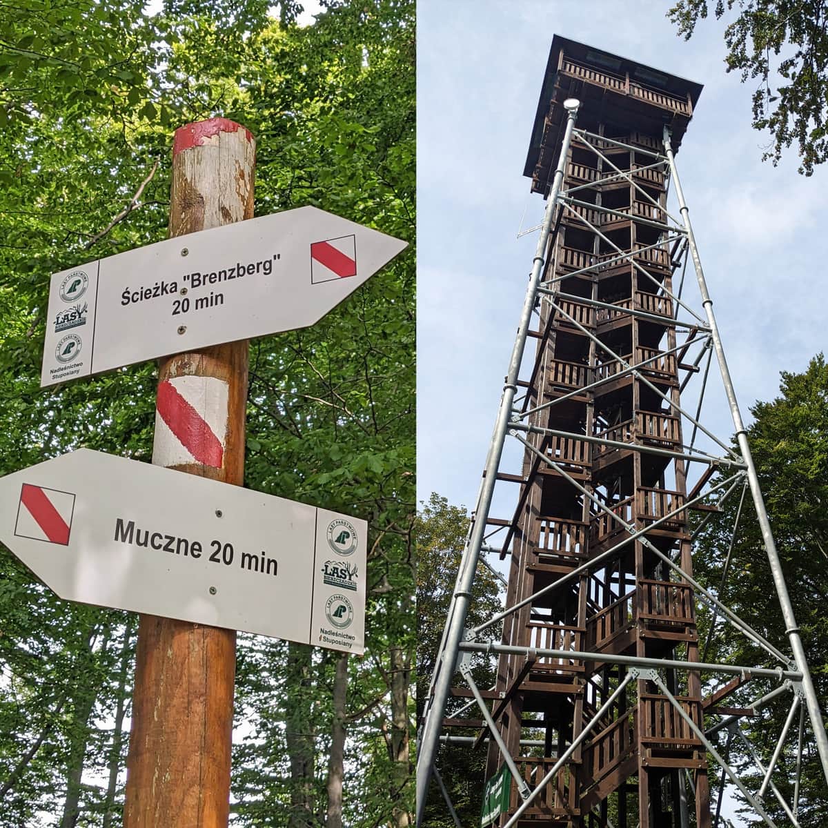
More about Rawka Mountains, trails, and views can be found here:
Small and Big Rawka. All trails to Rawki
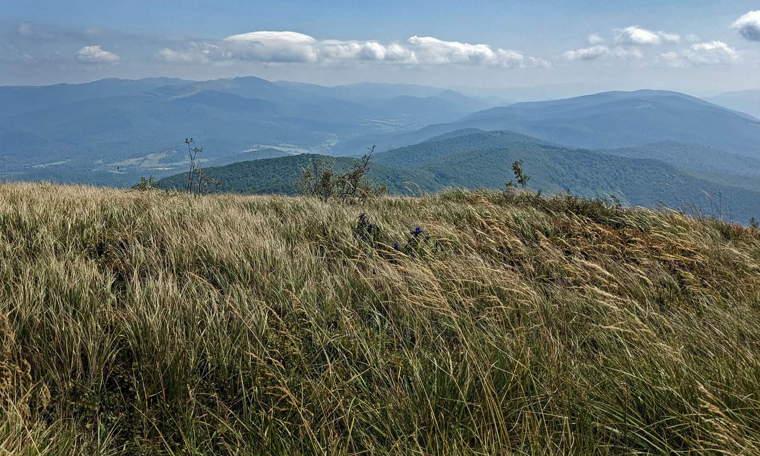
Rawki, or Big Rawka (1307 m above sea level) and Small Rawka (1272 m above sea level) are scenic peaks in the Bieszczady Mountains, famous for their beautiful meadows and panoramic views in all directions. How to get there and which trail to choose for Rawki? What can you see from Small Rawka and Big Rawka? ...
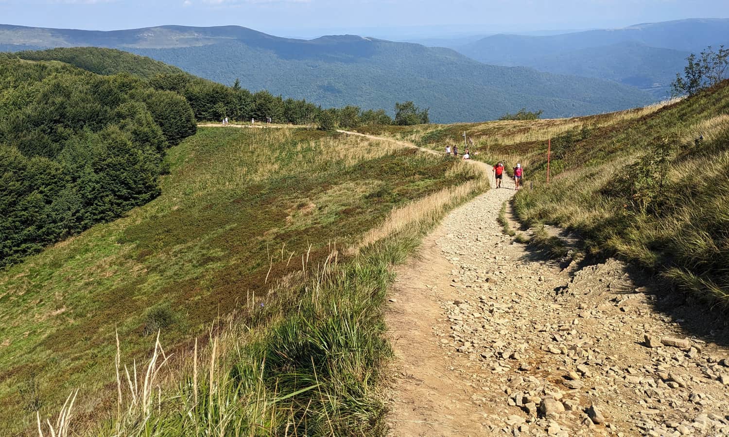
Wielka Rawka, 1307 m above sea level
At the summit of Wielka Rawka, we will find a large concrete pillar and magnificent views!
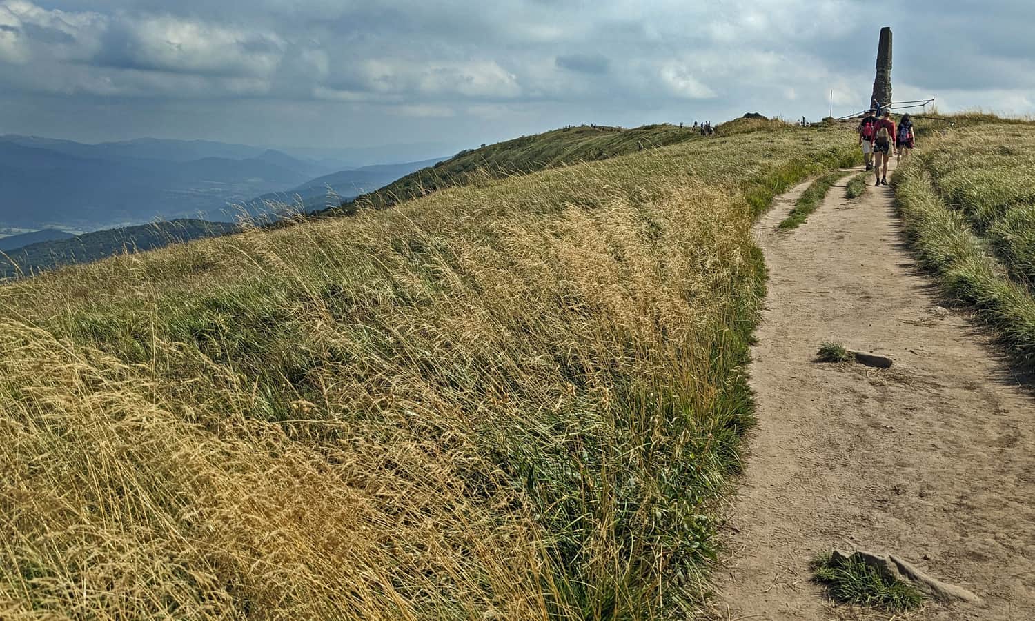

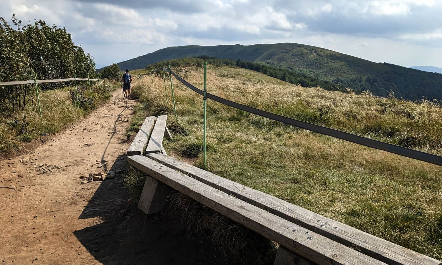
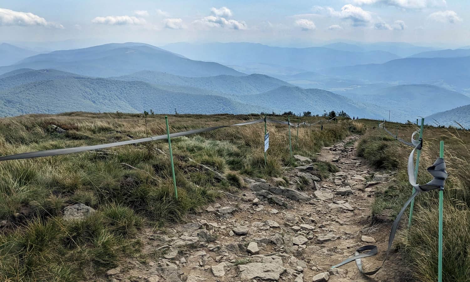
After enjoying one of the most beautiful panoramas of the Bieszczady Mountains in all four directions from Wielka Rawka, we continue our hike towards Kremenaros, first following the yellow trail. Once we reach the end of the yellow signs on the side peak of Wielka Rawka (1304 m above sea level), we continue along the blue trail, still along the ridge.
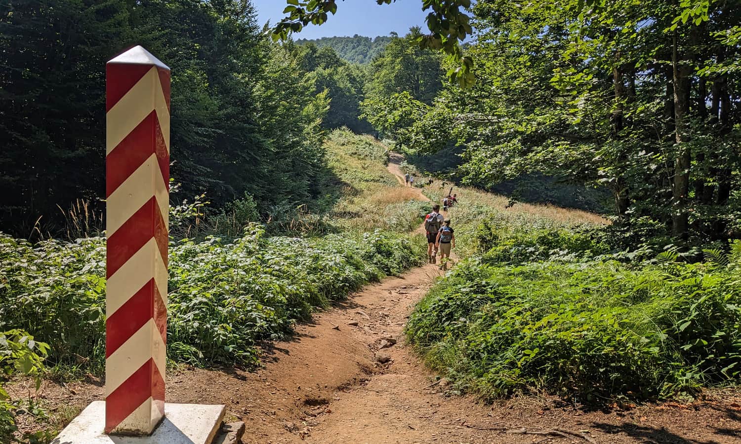
Polish-Ukrainian Border
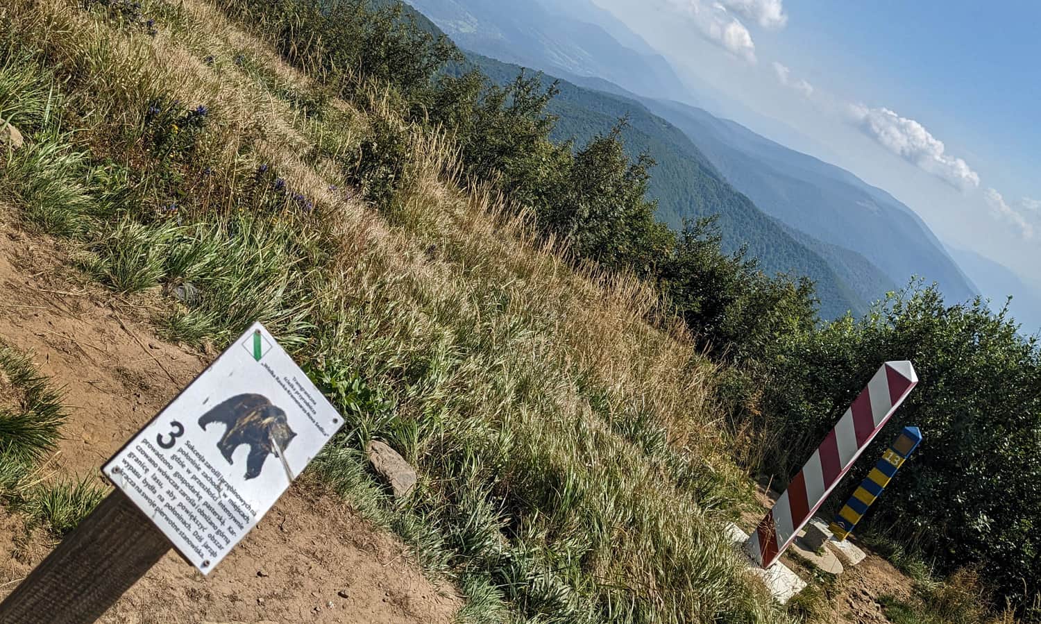
After descending along the blue trail to the Polish-Ukrainian border, we walk along the border road between border posts, sometimes downhill, sometimes quite steep uphill. This time, we are accompanied by stops of the nature trail with a bear:
Unfortunately, this section is no longer scenic: a beech forest accompanies us on both sides. However, there are more opportunities to rest in the shade.
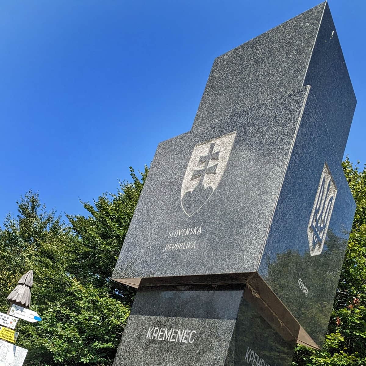
Tri-border Point - Krzemieniec / Kremenaros, 1221 m above sea level
At the end of our hike, an impressive obelisk with markings of the bordering countries awaits us: Poland, Slovakia, and Ukraine. There are also information boards from the Bieszczady National Park, as well as a table and benches.
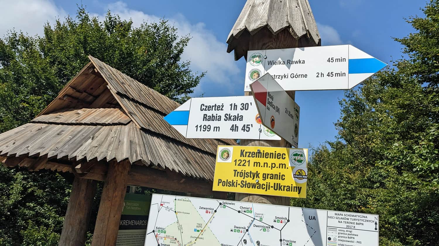
Did you know that this is the highest peak in the Slovakian Bieszczady Mountains? More about the tri-border point and the summit of Krzemieniec (Kremenaros) can be found here:
Trails to the border tripoint: Krzemieniec / Kremenaros
Krzemieniec, 1221 meters above sea level, also known as Kremenaros, is a peak in the Bieszczady Mountains where the borders of three countries meet: Poland, Ukraine, and Slovakia. Which trail can you take to reach it? What should you know about Krzemieniec and the tripoint itself? ...
We return the same way. Alternatively, you can continue along the border trail to Rabia Skała, but the descent from Kremenaros to Wetlina is about 18 km and at least 5-6 hours of walking.

More in the Region Bieszczady (Bieszczady)