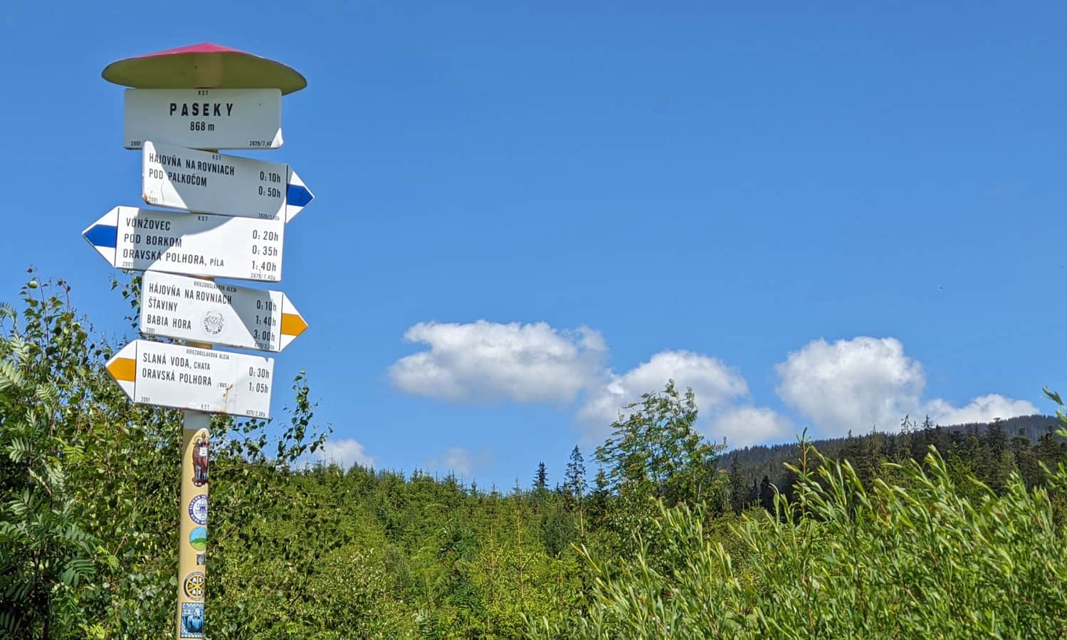
Slana Voda - Babia Góra. Yellow trail
Nearby: Oravska PolhoraCountry: Słowacja, Polska
| Distance | 8.1km |
|---|---|
| Time | 4h 28min |
| Ascents | 981m |
| Descents | 24m |
wb_sunny Route in the sun
restaurant Restaurant or bar nearby
directions_car Access by car

The yellow trail from the tourist station Slana Voda to Babia Góra is the most popular route to the summit of the Queen of the Beskids from the Slovak side. The trail is challenging due to its length and significant elevation gain, but there are no major terrain difficulties.
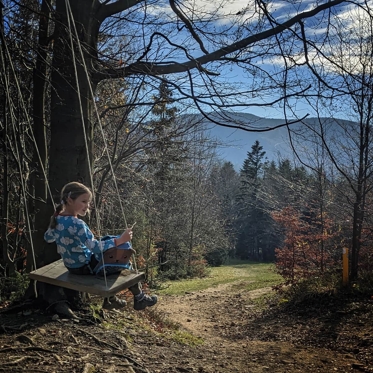
Its greatest advantages are the peacefulness on the trail (compared to the trails on the Polish side), beautiful views (but also a lot of sun), and good infrastructure (shelters, benches). Dogs are allowed on this trail!
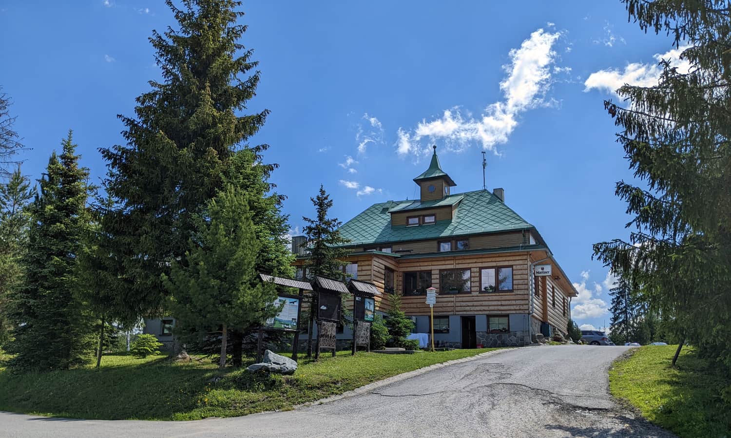
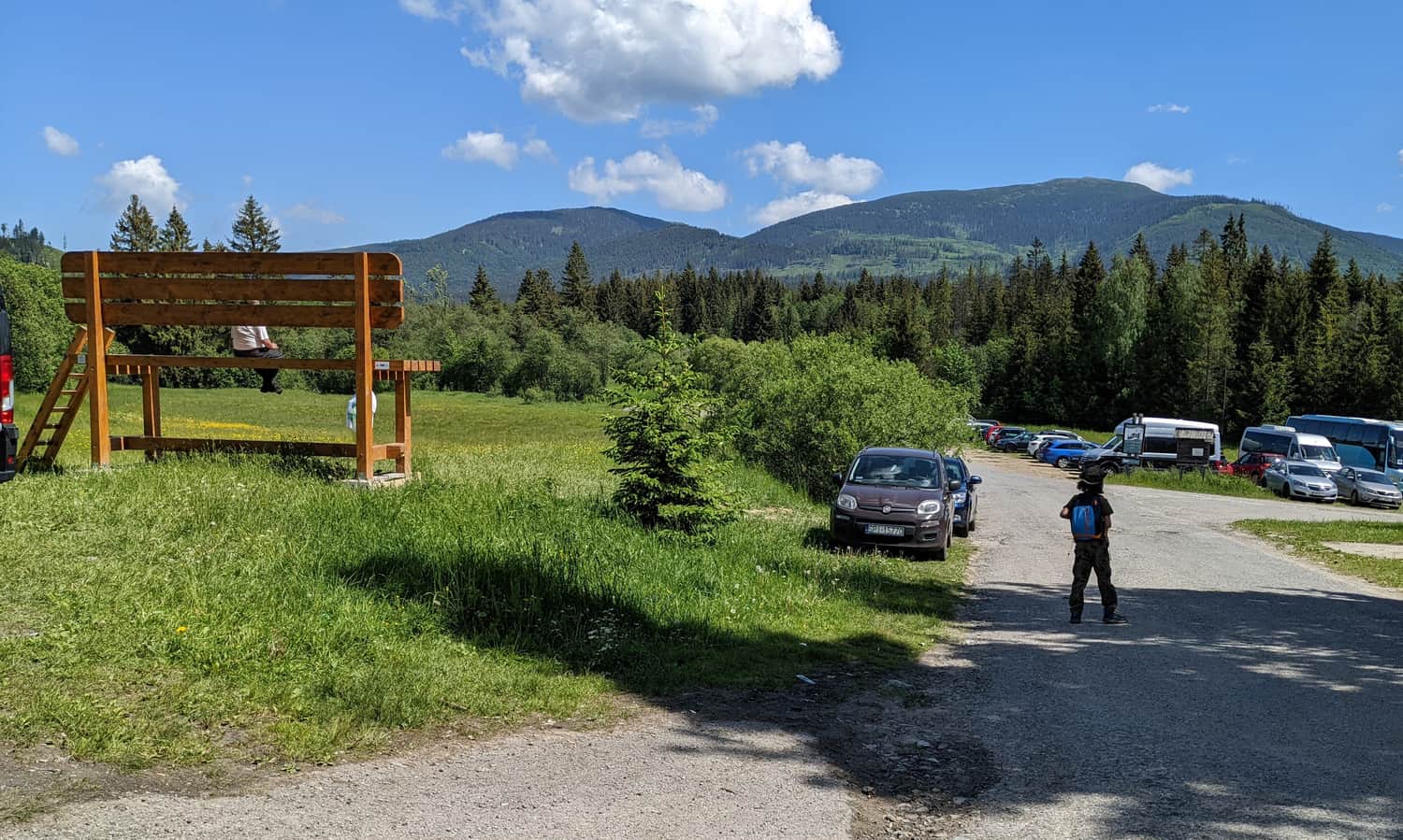
Slana Voda - Parking and Trailhead
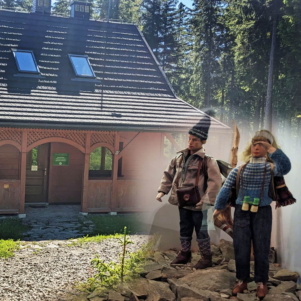
We start our hike at the tourist station Chata Slana Voda (accommodation, snacks, souvenirs). The parking area is quite large and free of charge.
We can clearly see our destination - it doesn't look threatening, right?
To reach the yellow trail, we need to turn right and cross a small bridge over the stream. Then we follow a rocky and straight path.
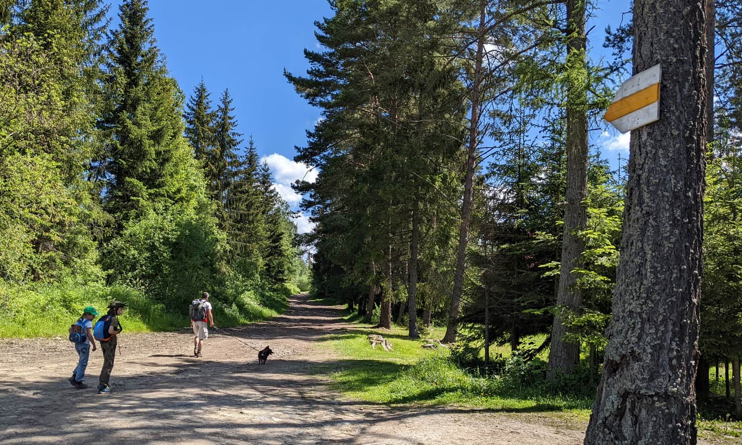
We walk along this easy but somewhat boring path for about half an hour. We reach the intersection with the blue trail, and unfortunately, we have to walk a section on asphalt: straight and then to the right across the stream. When we finally reach the regional museum, we turn into the forest!
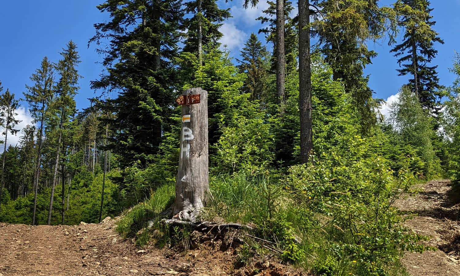
ATTENTION! The marking of the yellow trail leaves something to be desired... Actually, the signs, arrows, and the letters "BH" only appear at intersections (and not always...)
Once we enter the forest, we walk along a pleasant path next to the stream until we reach a small bridge.
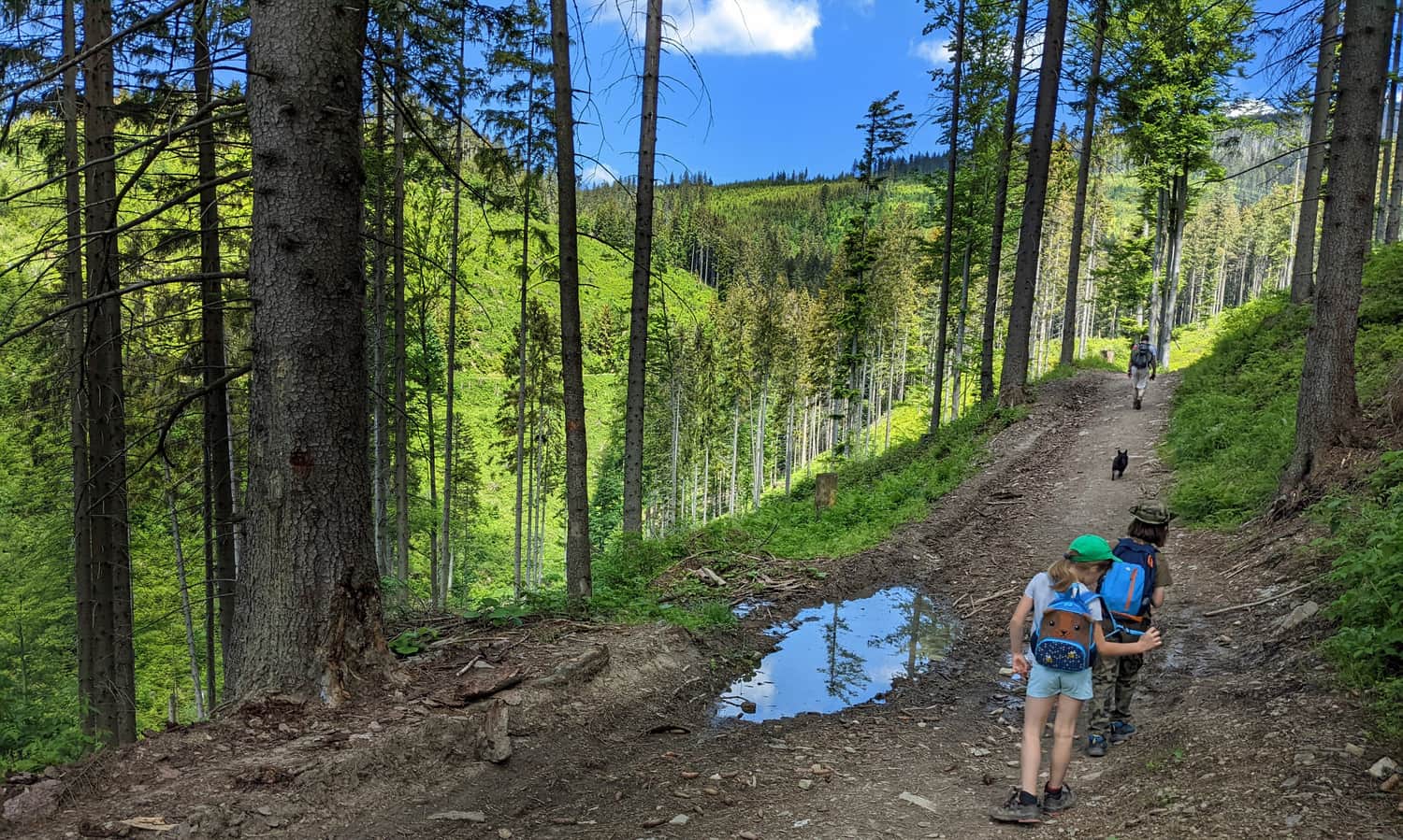
After the bridge, the real ascent begins!
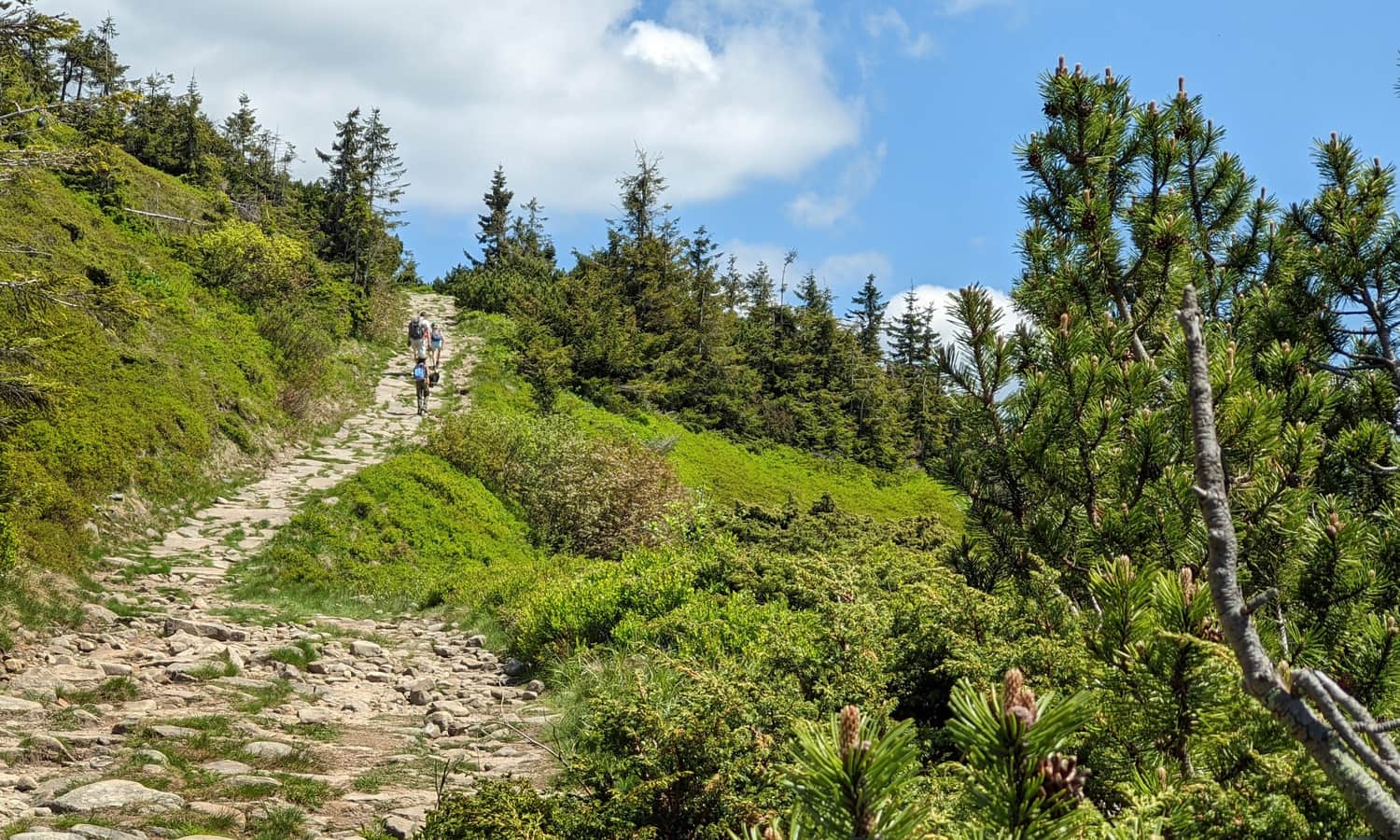
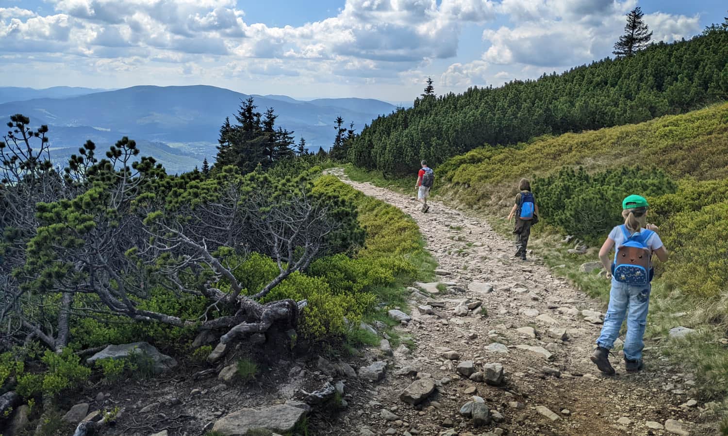
Forest section of the yellow trail to Babia Góra
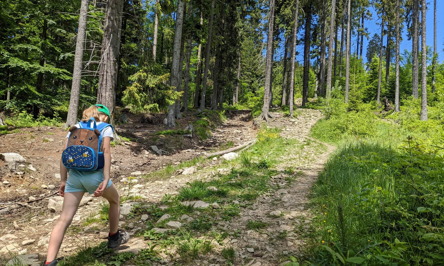
If it was boring before, it will be interesting now: we will climb steep, rocky paths through the forest. On a sunny day, the sun will accompany us all the time, and we will also have views of the neighboring Pilsko massif (the "younger brother" of Babia Góra, the second highest peak in the Żywiec Beskids), as well as the Tatra Mountains.
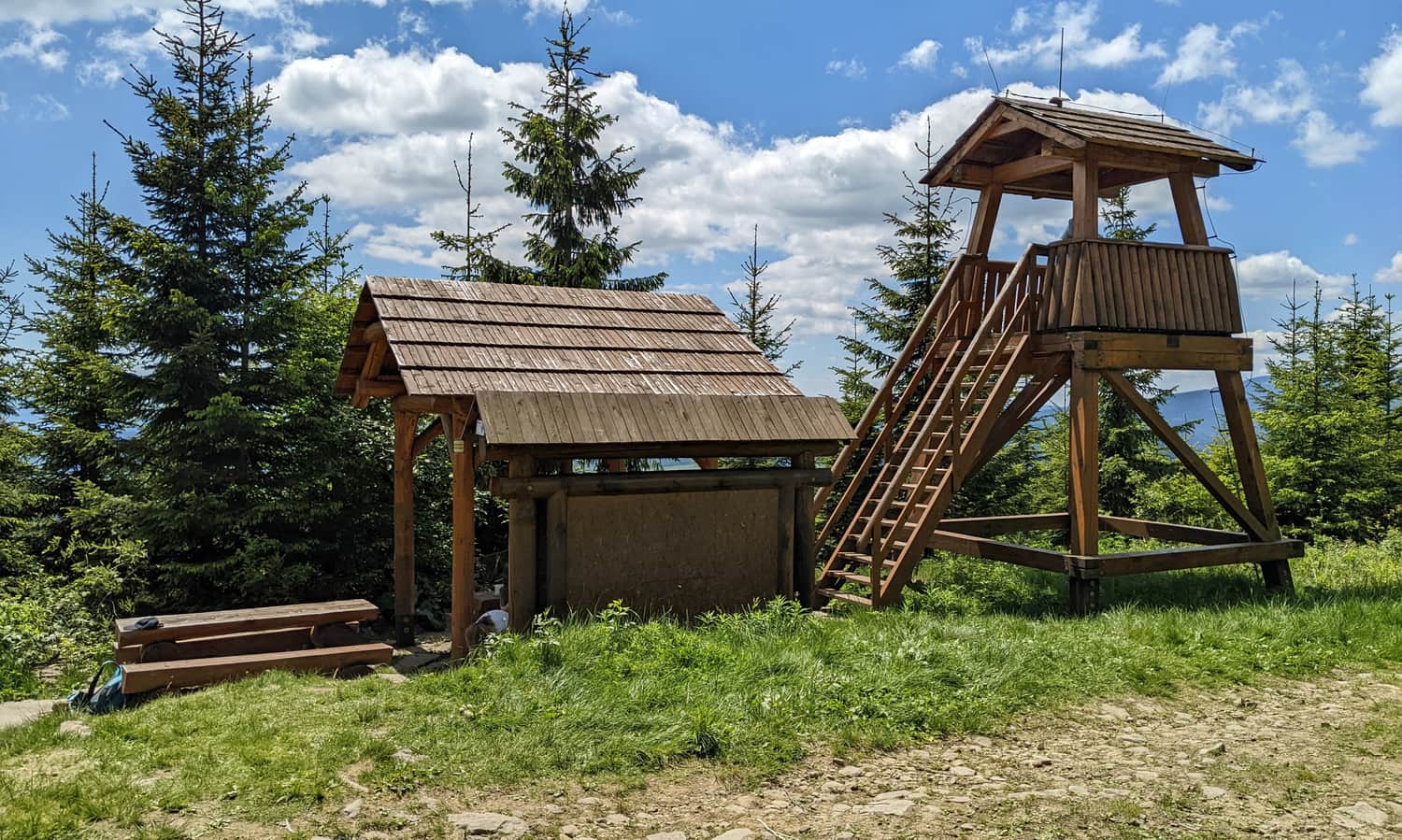
Along the way, there are several shelters, benches, and even a viewing tower:
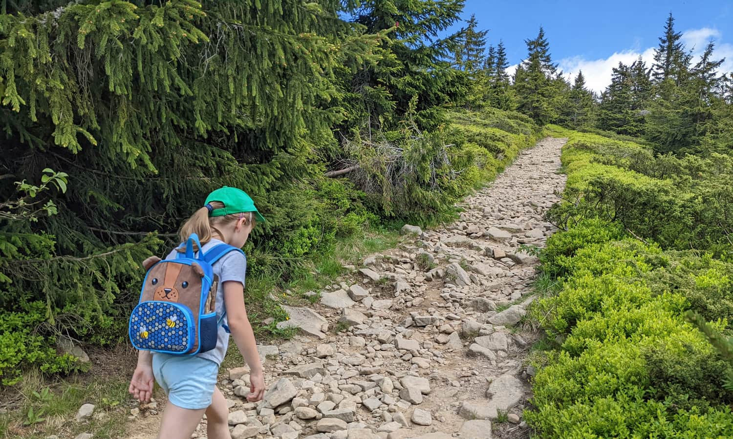
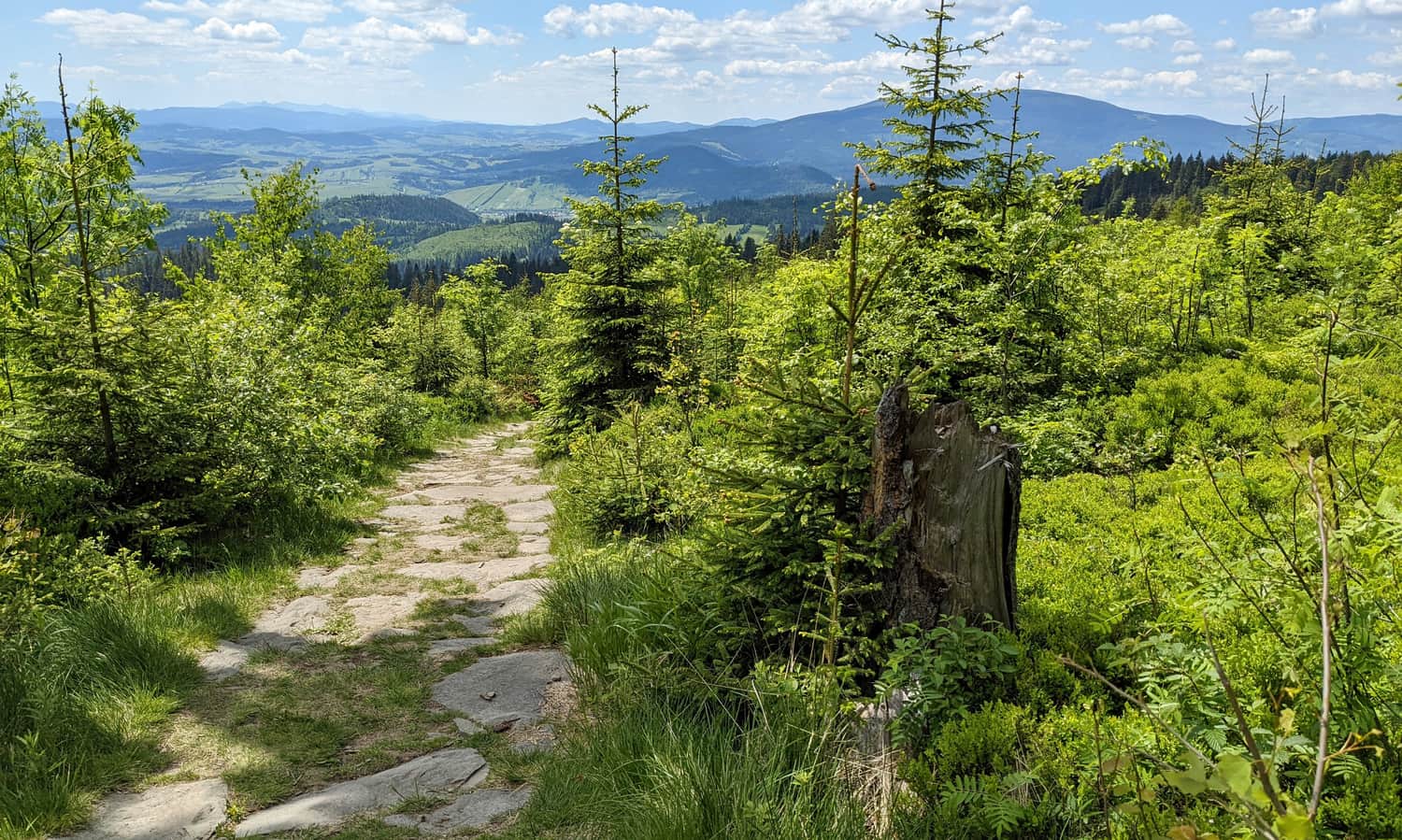
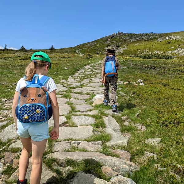
When the forest ends, we start climbing among small spruce trees, mountain pines, and blueberry fields. Yes, it can be steep, but the path is mostly comfortable, paved with large stones.
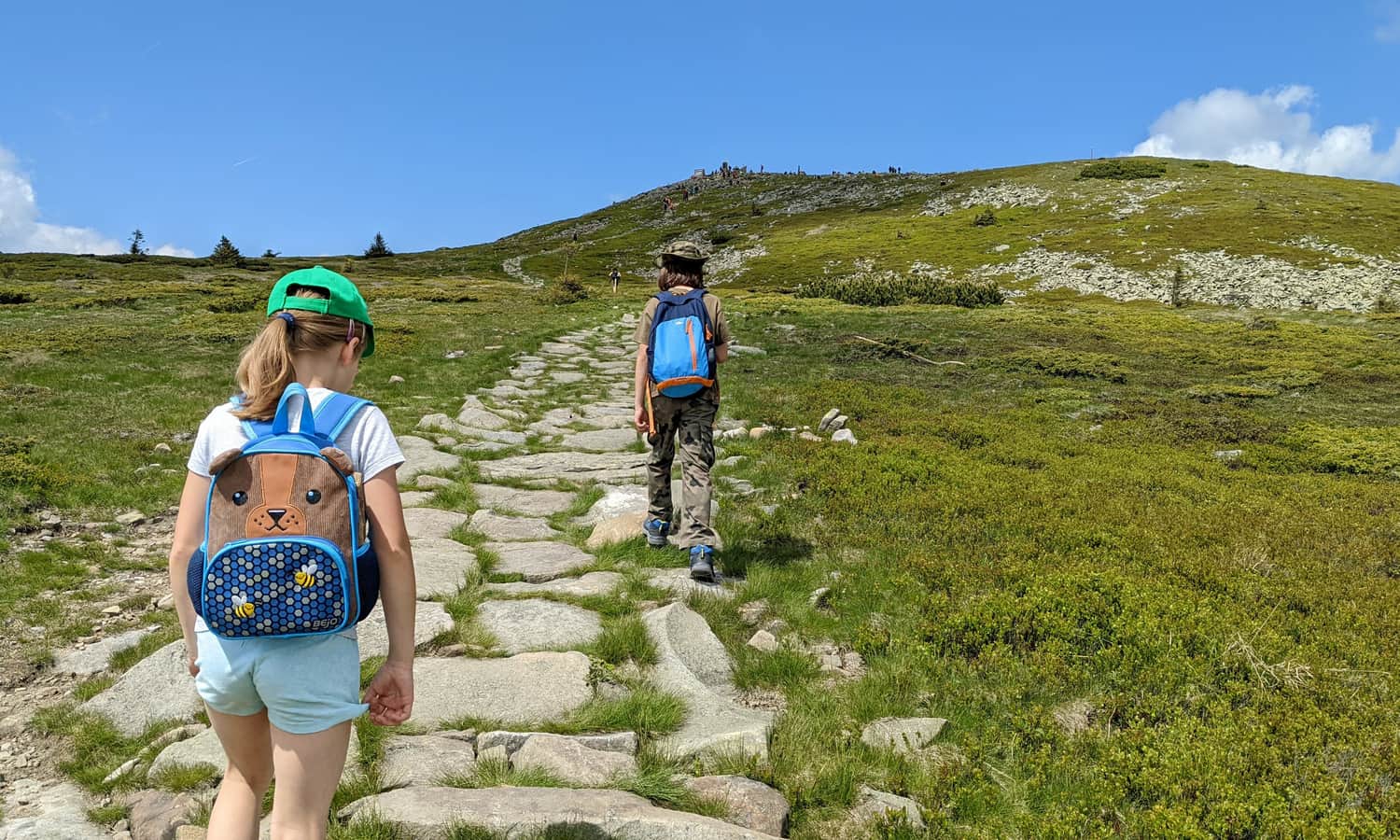
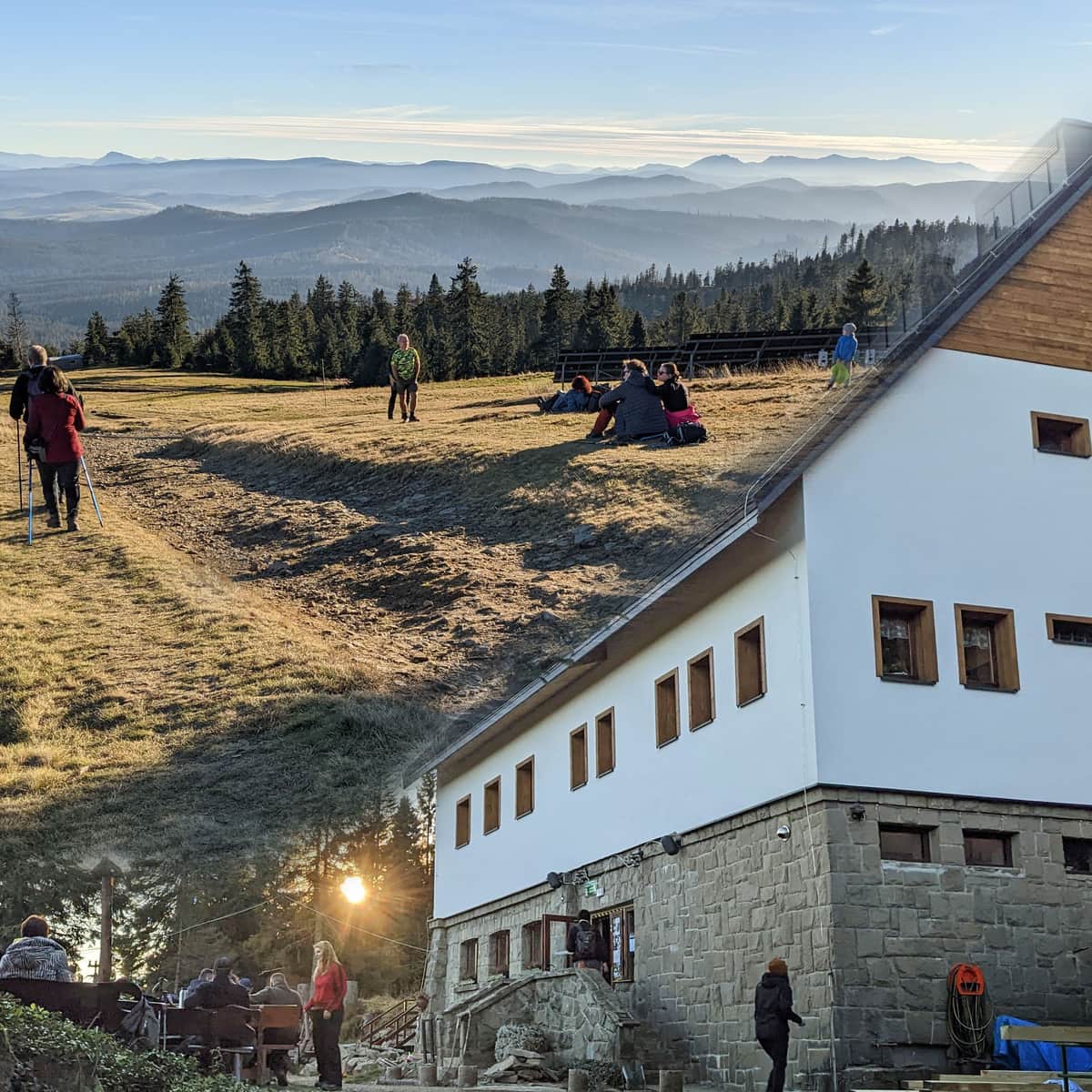
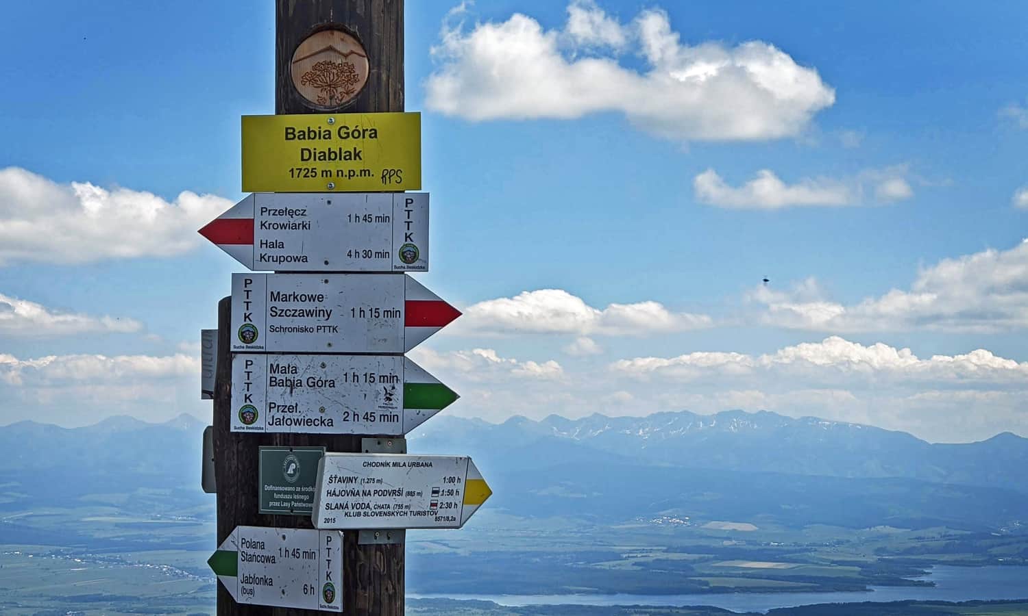
Babia Góra - Summit
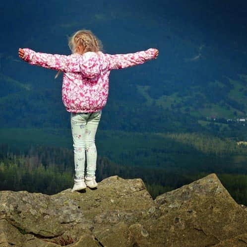
At the summit, stunning views await us: panoramas in all directions!
ATTENTION! It's always windy on Babia Góra! Bring jackets with you, and in spring and autumn, also hats and gloves. The weather on "Kapryśnica" (the capricious mountain) is very changeable: the wind blows away the clouds, constantly revealing or obscuring the views. It often happens that there is a storm on Babia Góra while the surrounding area enjoys nice weather.
Descending the yellow trail from Babia Góra to Slana Voda
We return to the trailhead the same way we came. The descent will take about 2.5 hours. Now we can admire all the views that we had behind us before:
We can also make a loop using the red trail through Mała Babia, or the green trail through the Babiogórski National Park:
Babia Góra - Trails and Loops from Slovakia
Table of ContentsWhy should you hike to Babia Góra from Slovakia?Hiking to Babia Góra with ChildrenTrails to Babia Góra from SlovakiaYellow Trail ...
And if you prefer to hike from Poland, take a look here:
Babia Góra - all trails. For children and more
undefined ...