Babia Góra - Trails and Loops from Slovakia
Why should you hike to Babia Góra from Slovakia?
We recommend taking the route to Babia Góra from Slovakia for several reasons:
- You can avoid the crowded parking at Lipnicka / Krowiarki pass.
- You can bypass the overcrowded shelter at Markowe Szczawiny.
- You won't be hiking in a long queue or encountering crowds on the most popular trails on the Polish side.
- You can legally hike with a dog, which is prohibited on all trails in the Babia Góra National Park on the Polish side.
- Although there is an elevation difference of about 1000m, it is easier to hike this distance of 8km compared to a 700m ascent over 4.5km from Krowiarki.
Hiking to Babia Góra with Children
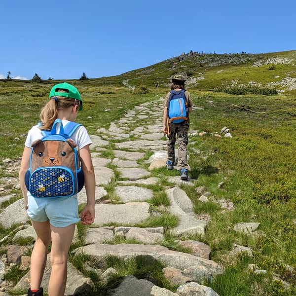
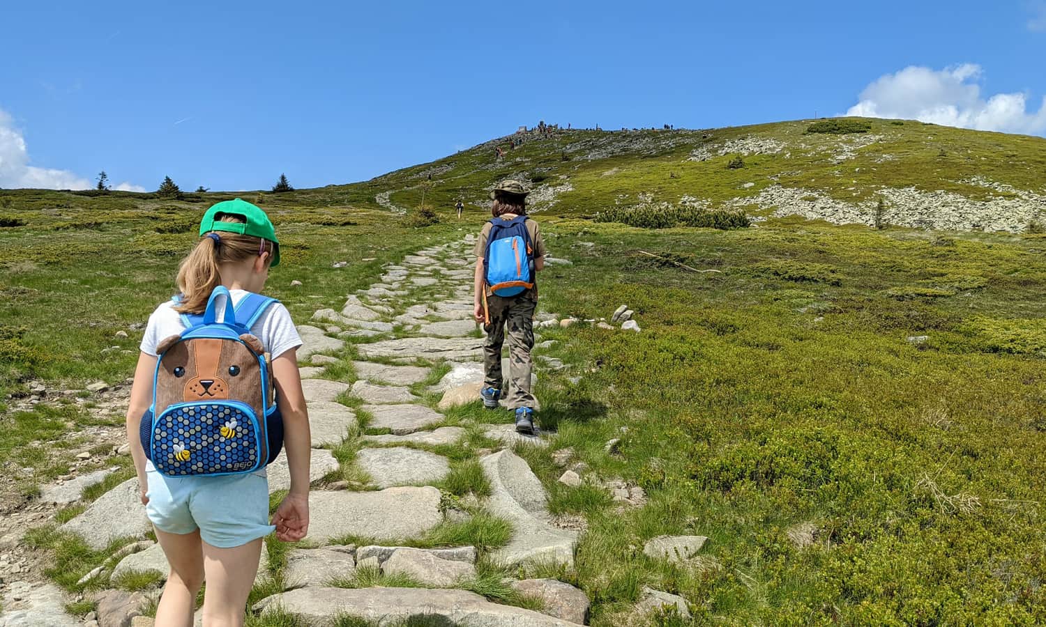
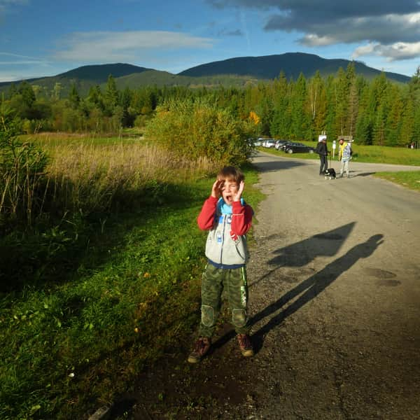
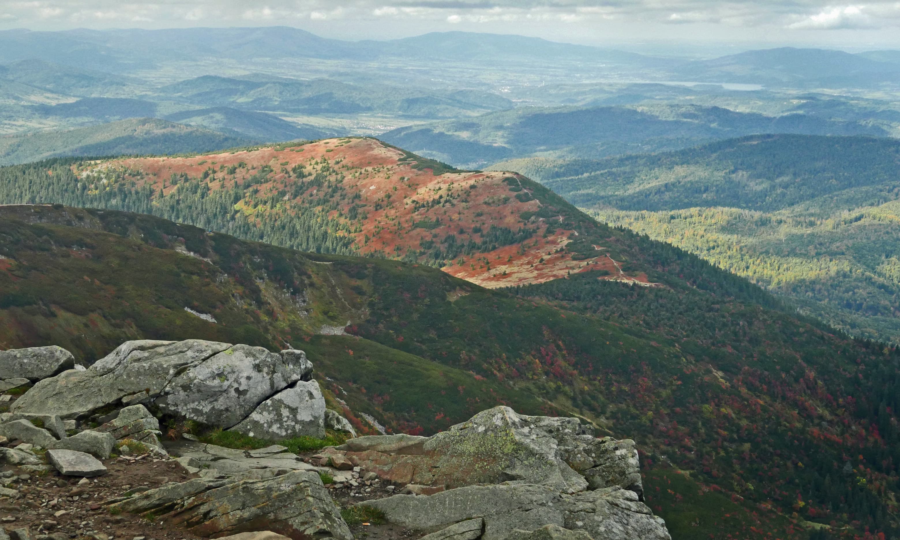
Considering all the above arguments, we recommend the Slovakian trails, especially if you want to hike to the summit of Babia Góra with children. Spread the hike throughout the day, take plenty of breaks and have picnics along the way. Even little legs will manage! See for yourself: Babia Góra doesn't look as intimidating from the Slovakian side!
Trails to Babia Góra from Slovakia
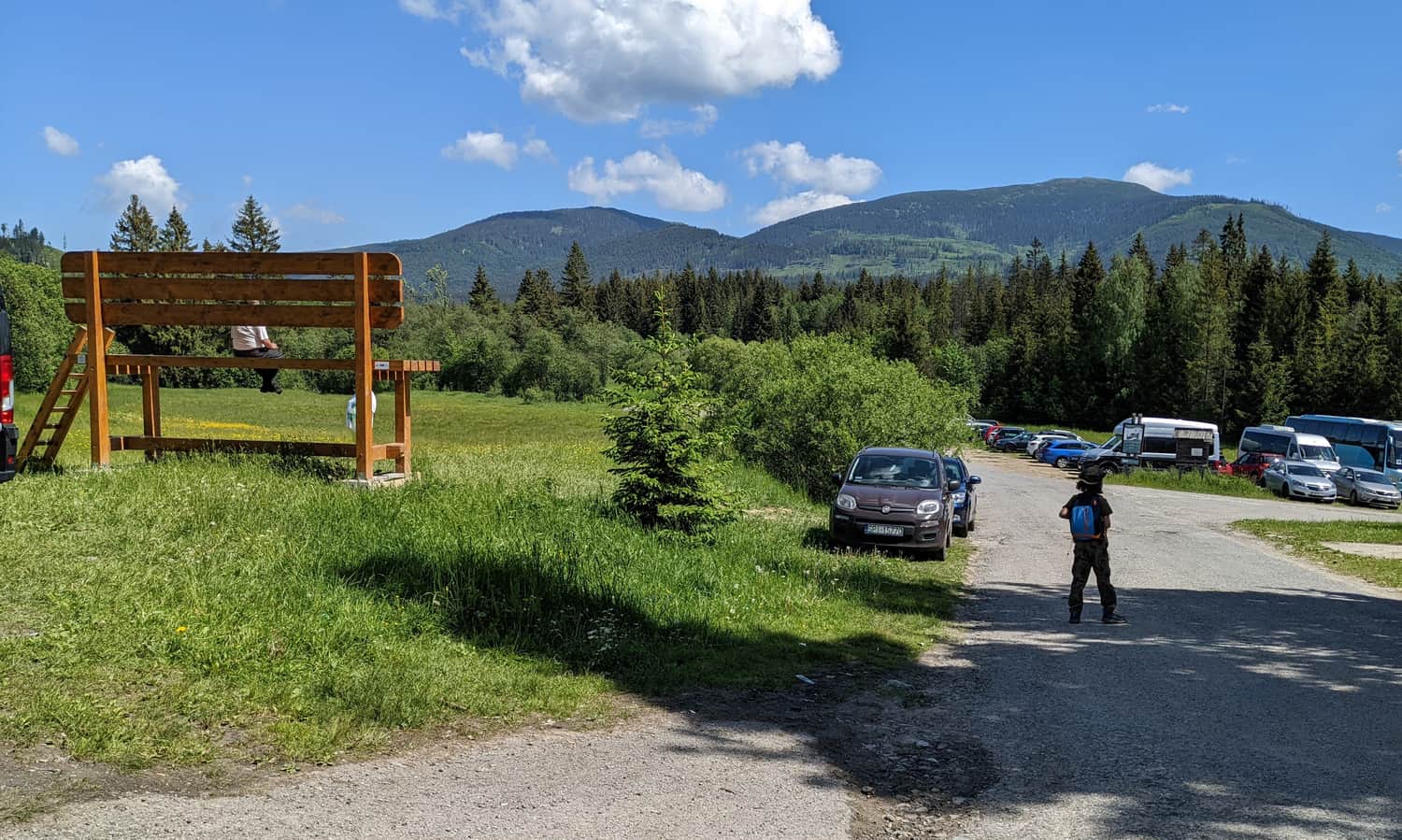
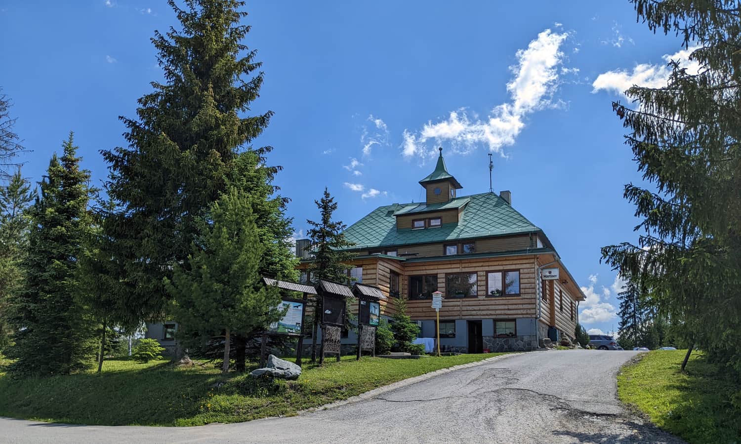
On the Slovakian side, there are two trails leading to the summit of Babia Góra, both starting at the tourist station Slana Voda (accommodation, snacks, drinks, sweets, souvenirs). The parking is quite large, free, and less crowded than at Krowiarki - you don't have to arrive at the crack of dawn to secure a spot (although, as always, the earlier the better).
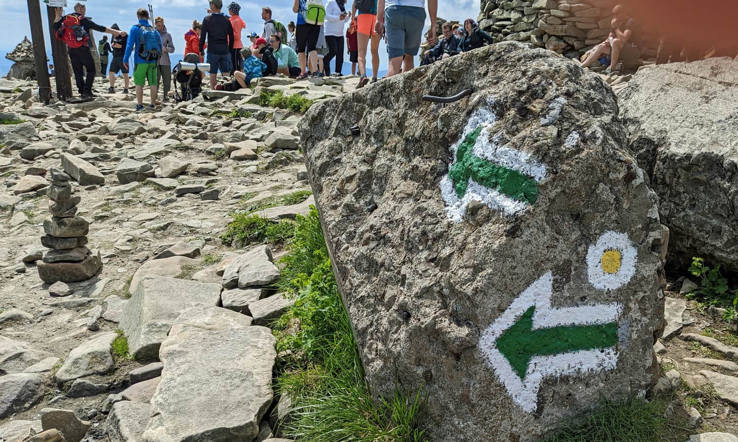
Yellow Trail - Slana Voda to Babia Góra
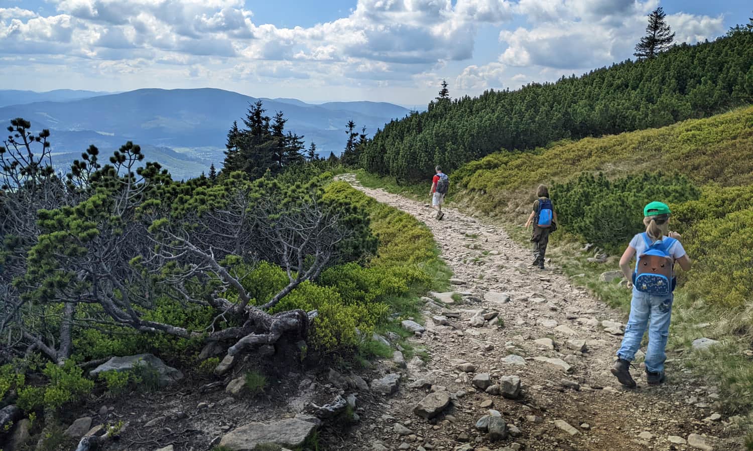
3 hours and 45 minutes one way, more popular and "civilized": along the way, you'll find shelters, benches, tables, lookout towers, stops on the educational trail, and mostly well-paved with large, comfortable stones. The trail is mostly exposed to the sun, but offers great views.
Detailed description of the yellow trail:

Difficult
Slana Voda - Babia Góra. Yellow trail

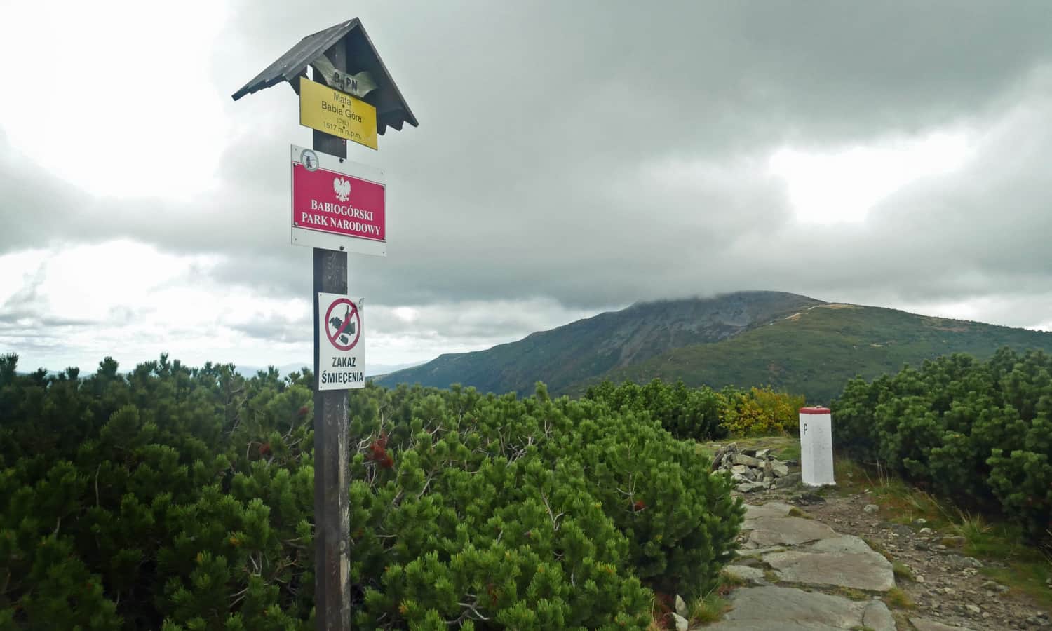
Red Trail from Slana Voda via Malá Babia Góra
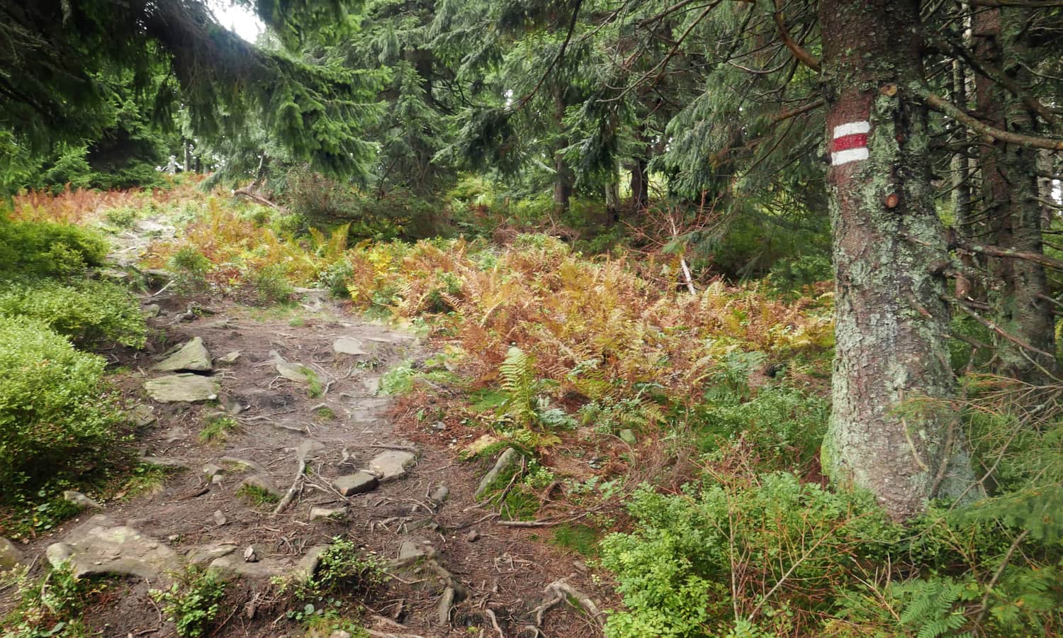
Longer (about 4 hours and 30 minutes), less frequented, and more "wild" with forested, muddy ravines. Consider this trail if you value tranquility on the hike and prefer walking in the shade for most of the route.
Babia Góra from Slovakia - Loop Trail
Loop Trail via Malá Babia Góra
You can combine the yellow and red trails into a loop, during which you can reach both the summit of Malá Babia Góra and the "Great" Babia Góra. This is a quite long route (19 km), so plan for a full day!
Difficult
Babia Góra from Slovakia - loop through Mała Babia

Slovakian-Polish Loop to Babia Góra
An interesting option is the Slovakian-Polish loop, which combines the yellow trail from Slana Voda with the green "Pański chodnik" trail, totaling approximately 19 km. You can start the hike from either Slana Voda in Slovakia or from the Polish side at Stańcowa, at the parking lot near the Babiogórski National Park information point. However, note that you cannot bring a dog on this trail, as it passes through the national park.