Shortest Trail to the Lookout Tower on Eliaszówka
Nearby: Piwniczna Zdrójdirections_car Access by car
The shortest and easiest way to reach the lookout tower on Eliaszówka (1024m) is to start the expedition from the Obidza Pass (908m), which can be reached by car. The advantages of this route are:
- Small elevation gain, relatively short trail, and a fairly high destination.
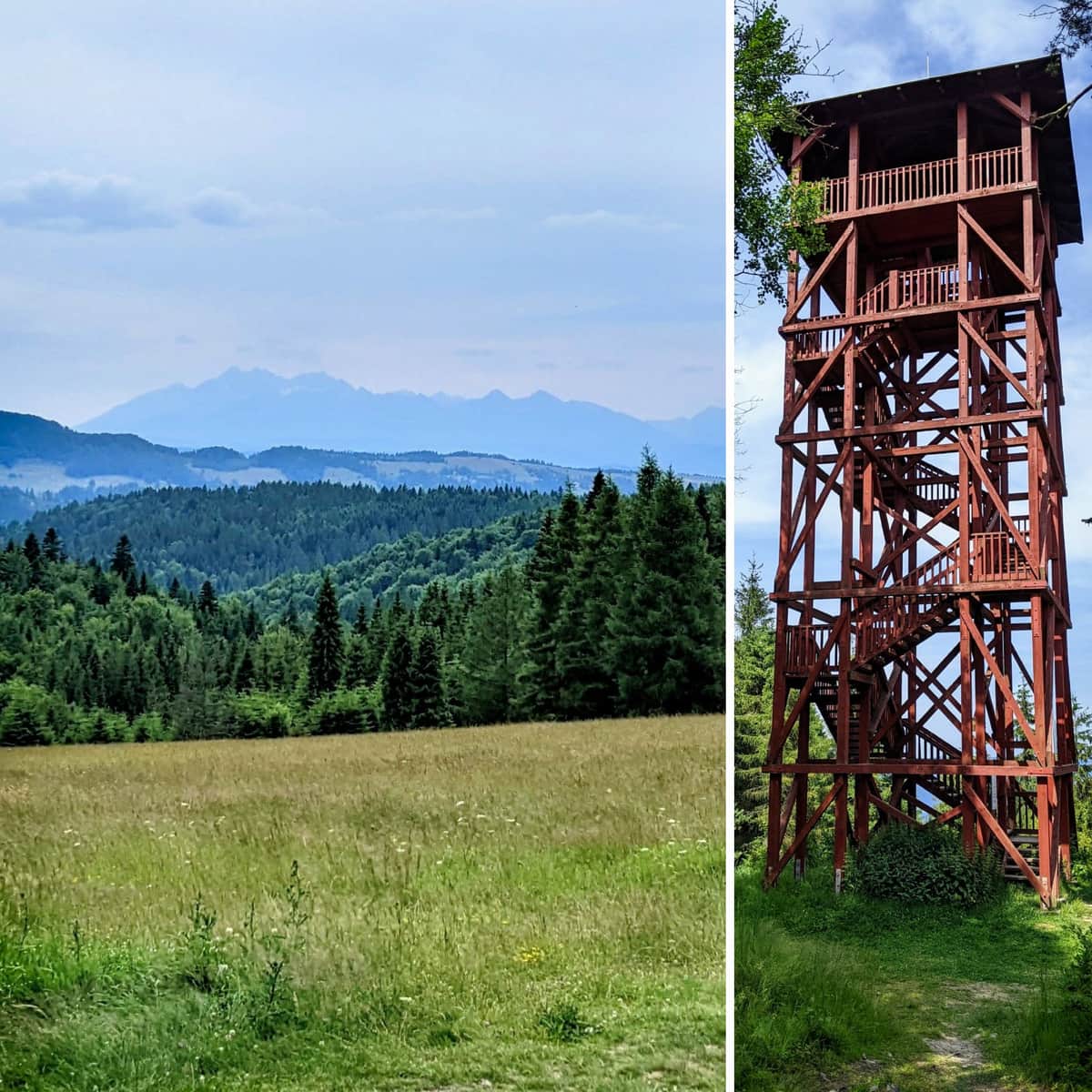
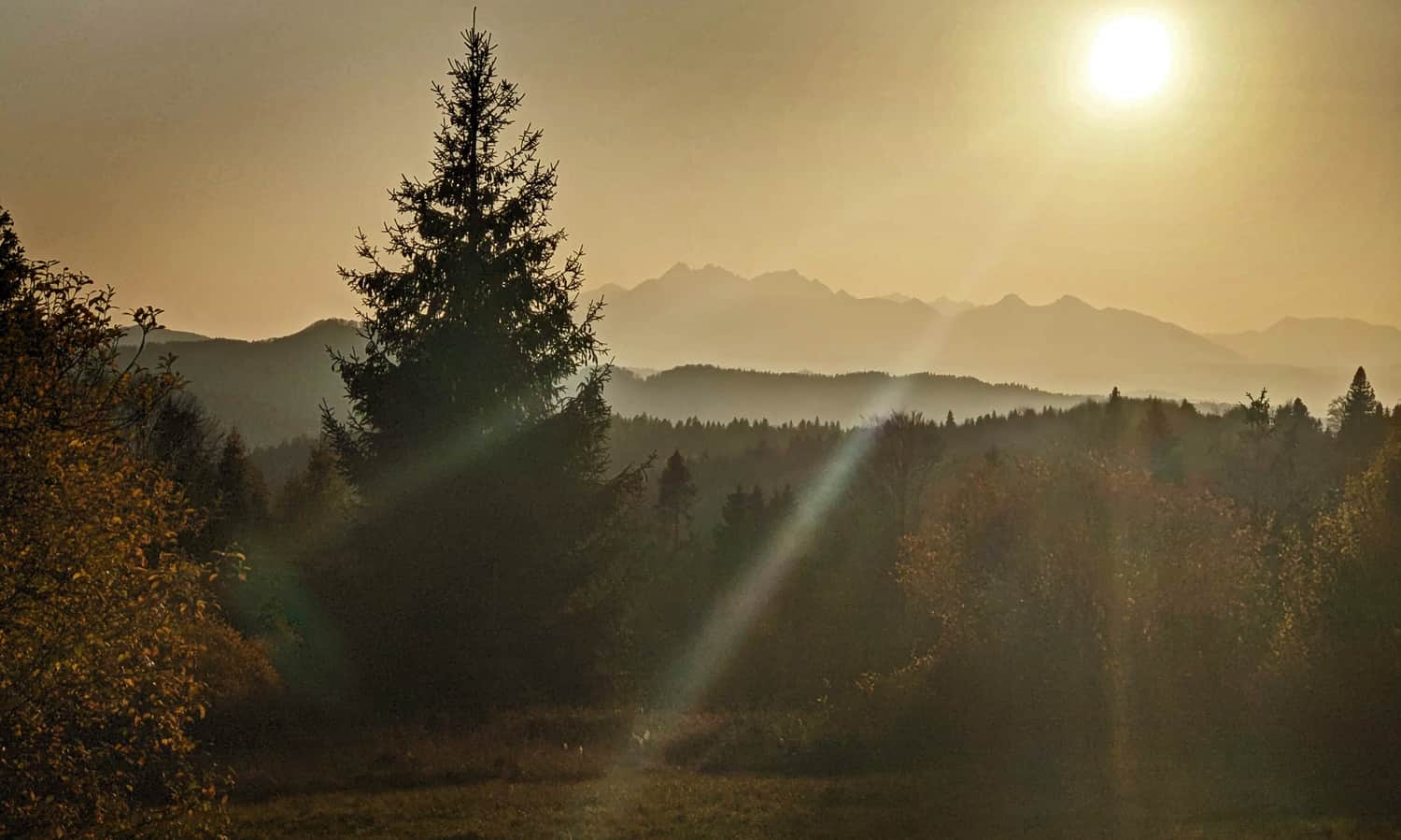
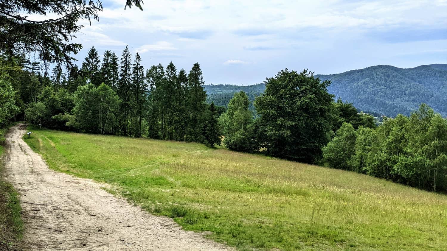
- At the pass, there is a picturesque meadow called Litawcowa with a view of the Tatra Mountains. It is from there that we have marked the route, not directly from the pass itself.
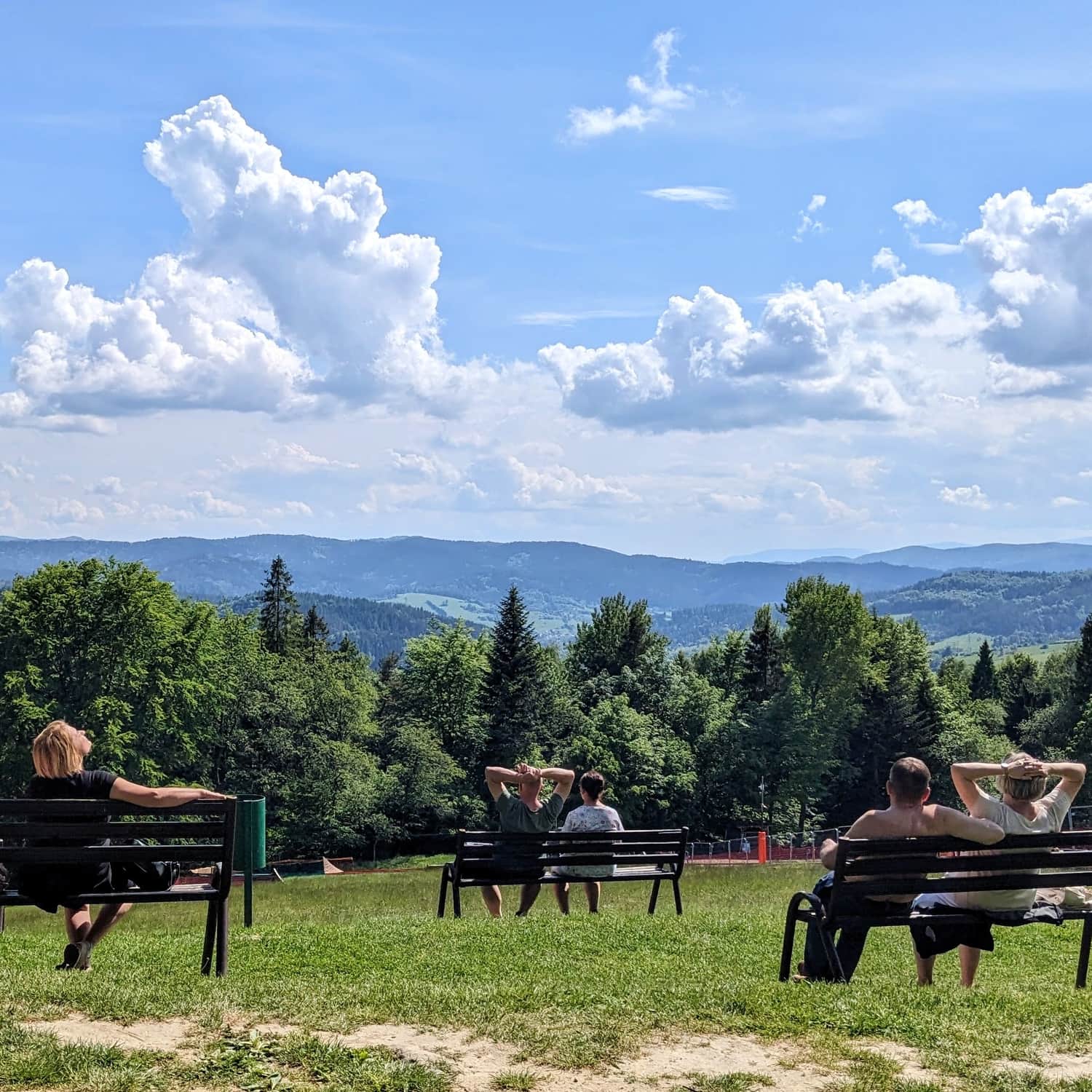
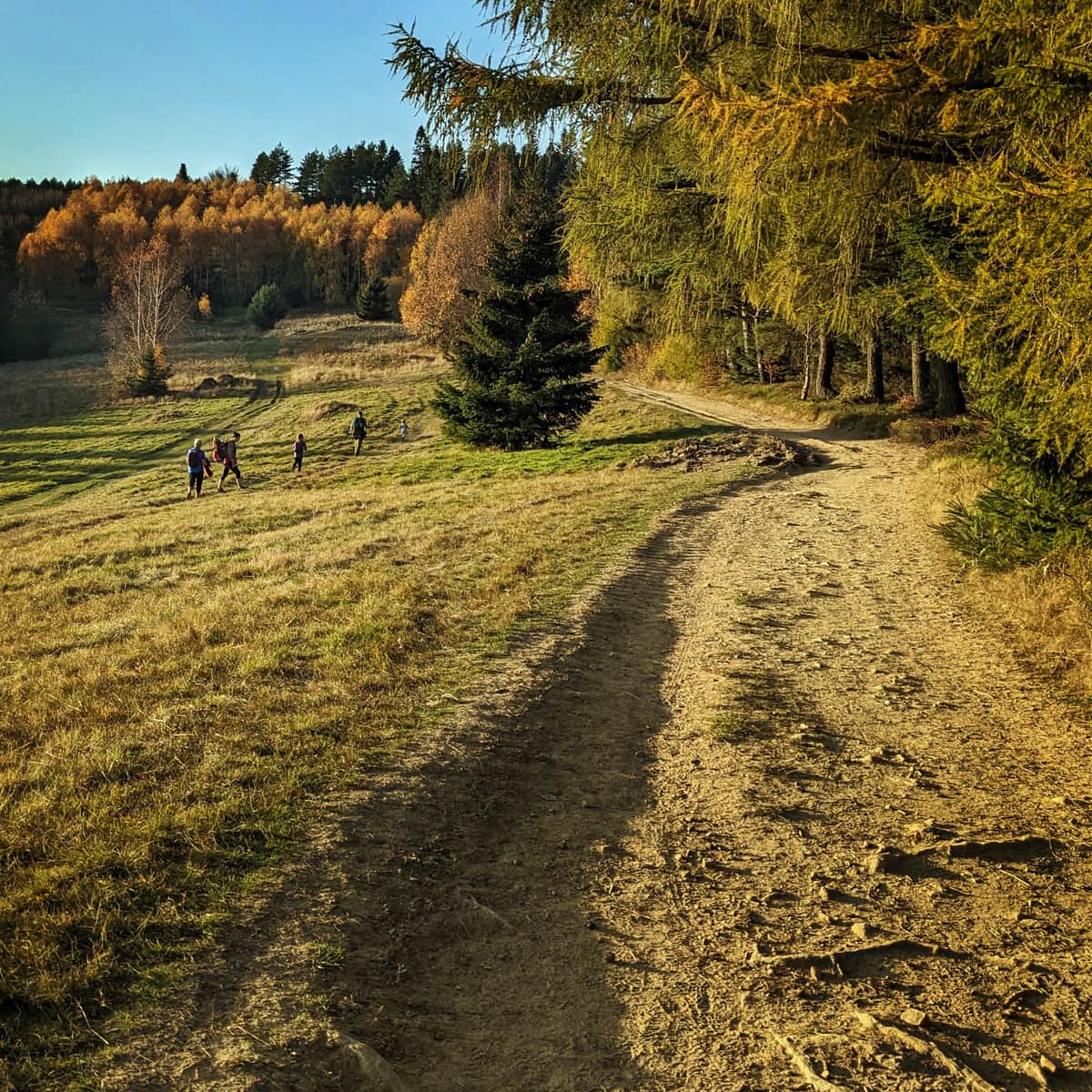
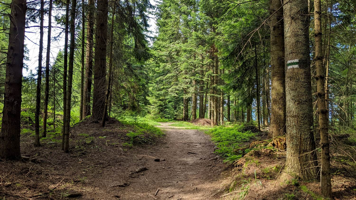
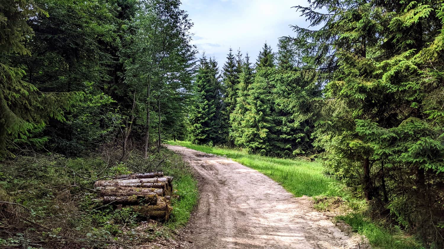
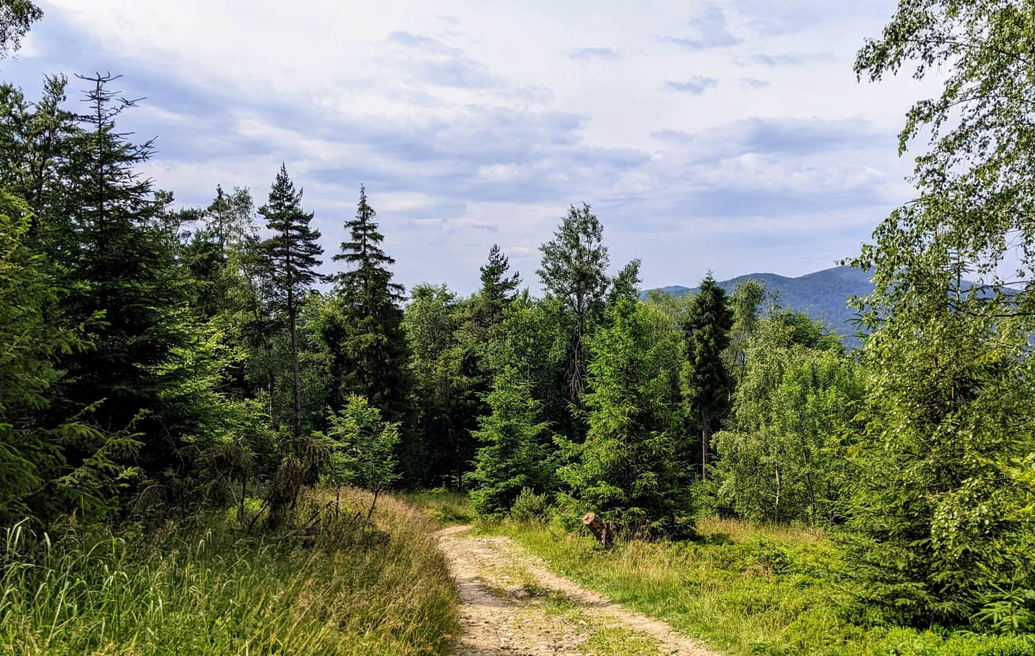
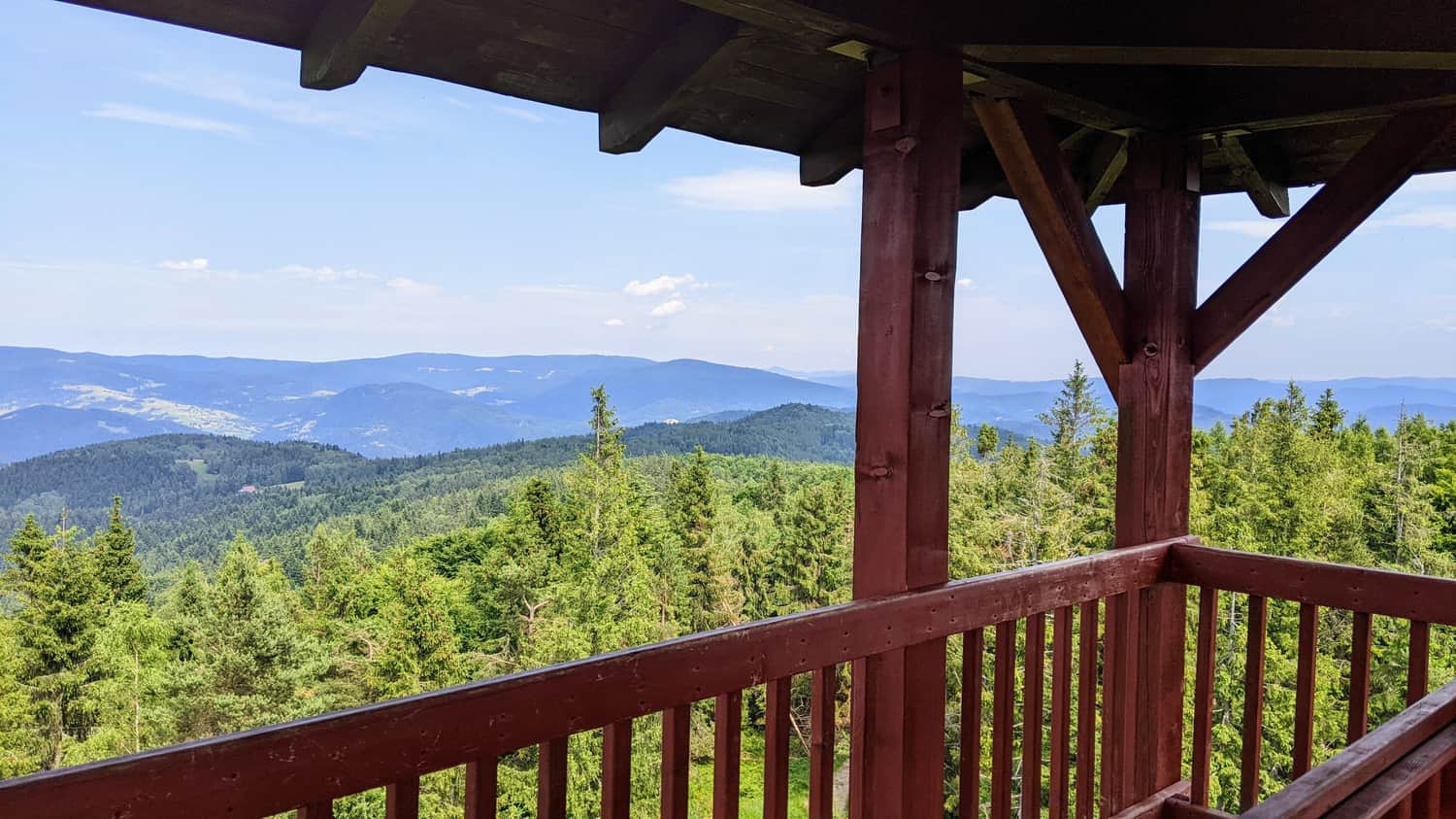
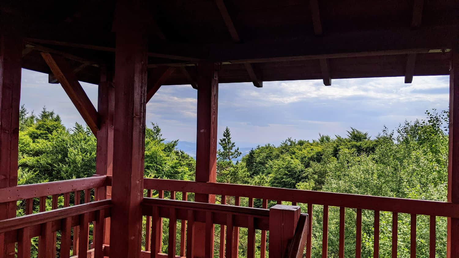
The trail is pleasant, mostly gravel, and leads through the forest, with several viewpoints along the way. However, the most enchanting parts of the route are the beginning (meadow) and the end (panorama of the Beskids from the tower).
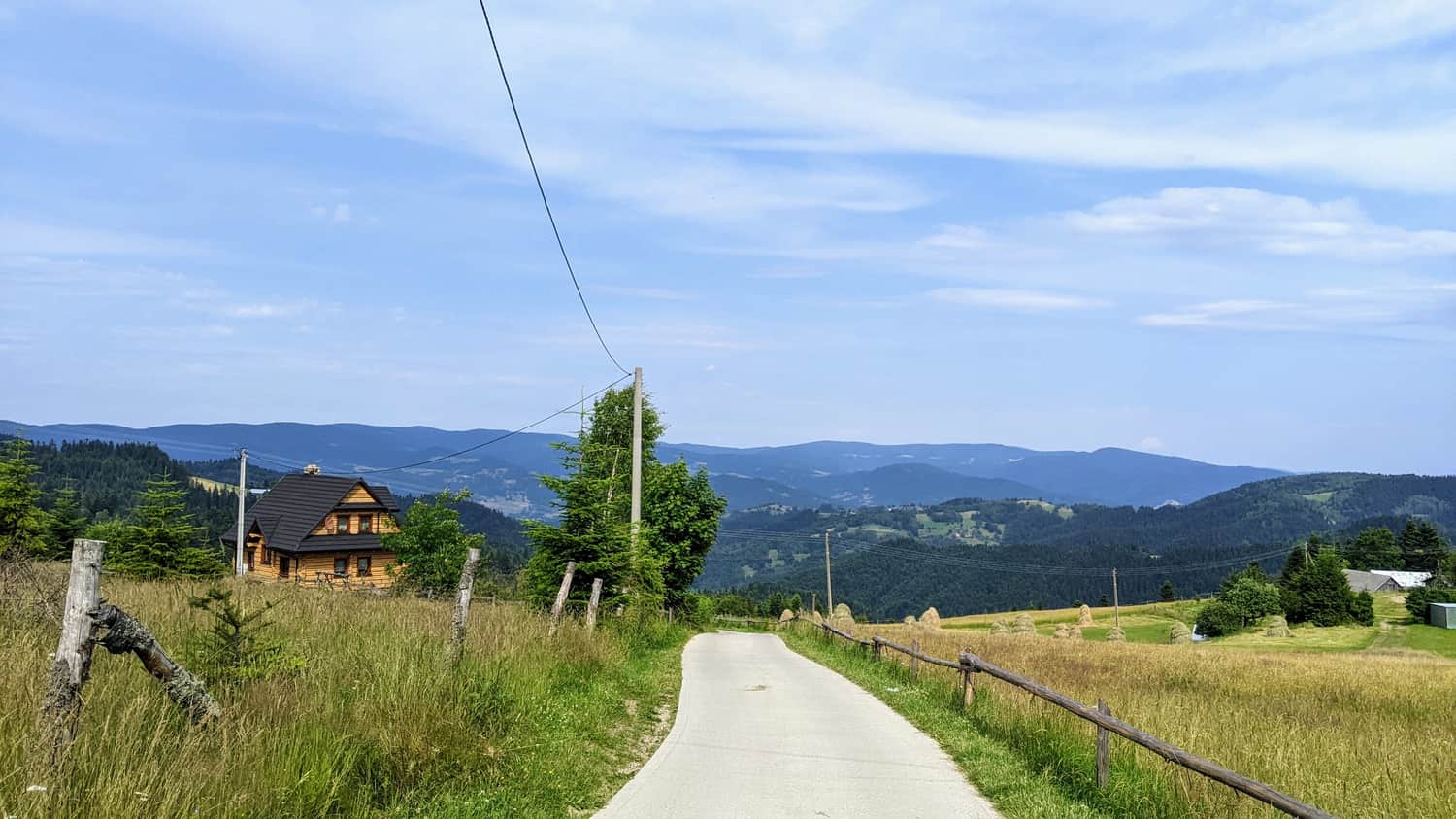
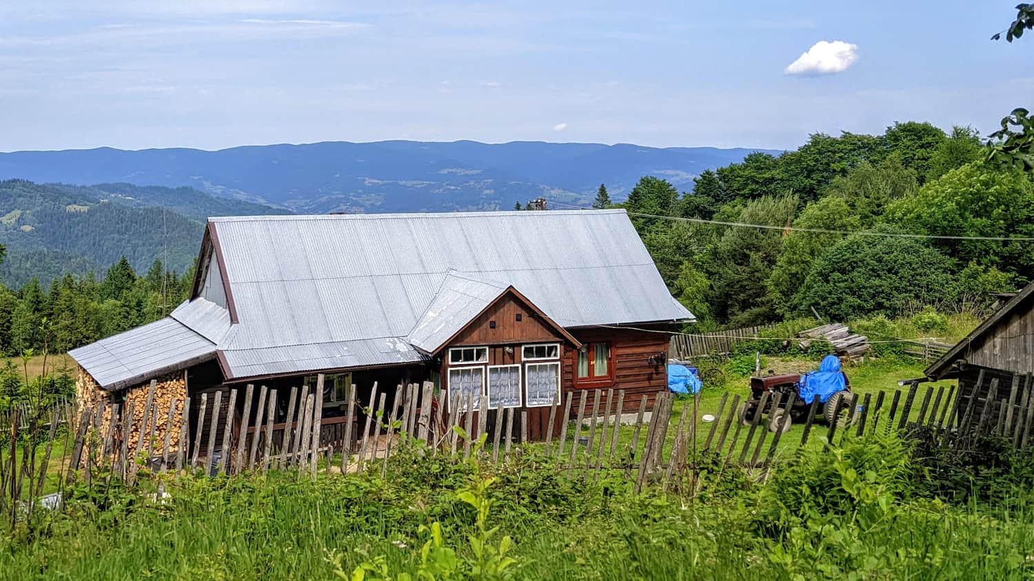
Obidza Pass - Access and Parking
In the upper part of Obidza, there are several private buildings, tourist cottages, and seasonal gastronomic points, including Bacówka na Obidzy. Accommodation and restaurants for guests can be found there. Along the way to the Obidza Pass, there are several parking lots, including public ones and privately paid ones. However, the parking at the top fills up quickly.
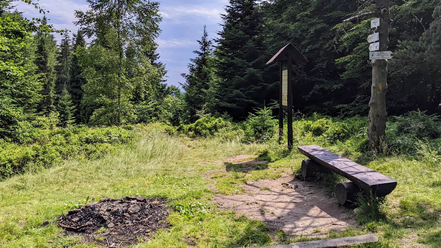
Beginning of the Route - Litawcowa Meadow
Litawcowa Meadow, which once belonged to the Lemko village of Biała Woda, is now one of the favorite places to observe the magical colors of the sunset:
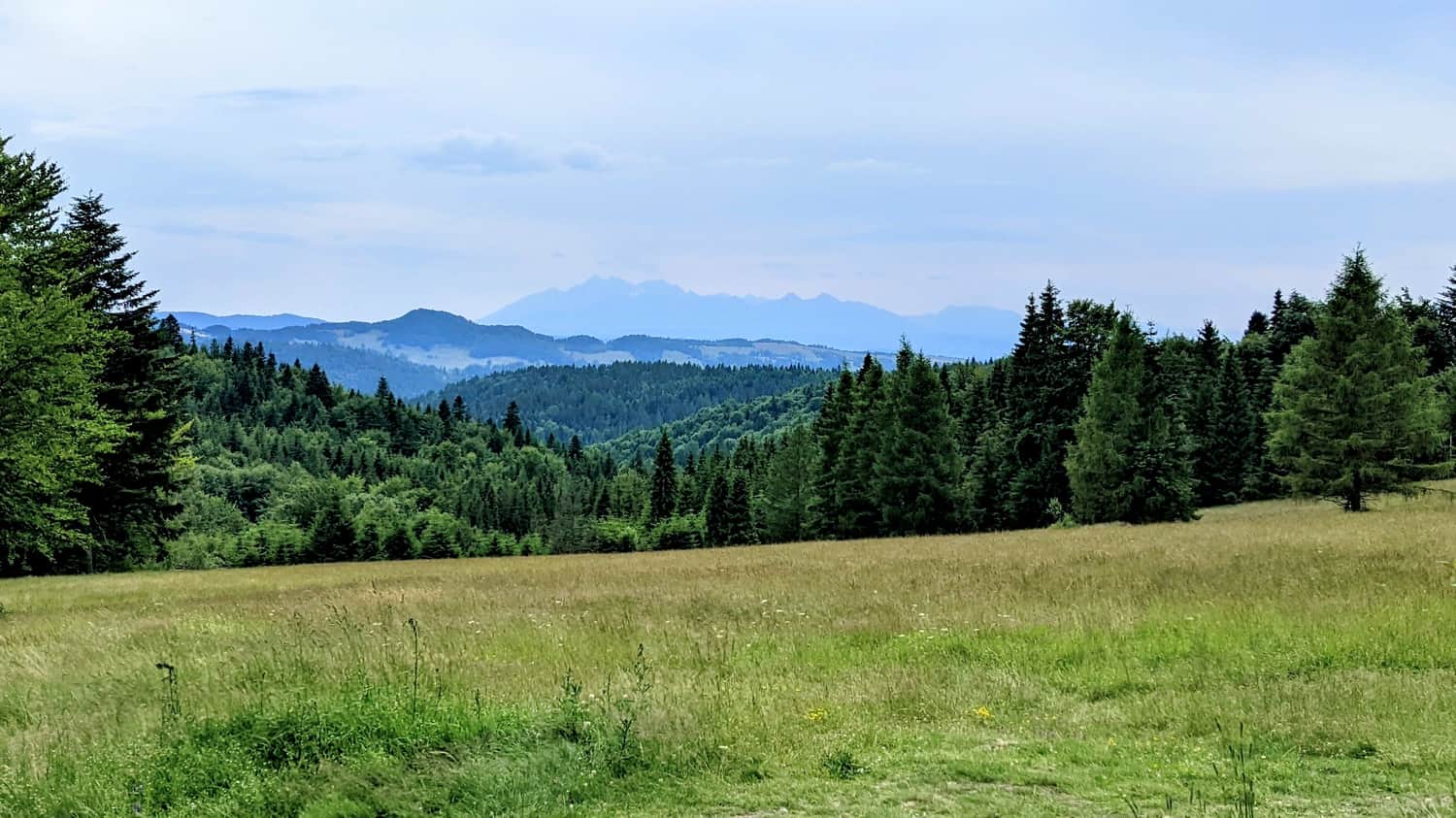
It is worth getting to know this place not only because of its charm but also because it is the intersection of three PTTK trails.
Medium
From Obidza to Radziejowa Peak

Shortest Trail to Eliaszówka
The trail is incredibly pleasant, mainly due to its picturesque surroundings. It is mostly covered in gravel, which gives it character and allows hikers to enjoy nature. The route leads through a charming forest and several scenic clearings.
The trail is relatively short, making it an excellent choice for people, for example, with children who prefer easier and shorter hikes. The elevation differences are small, which means that even beginners in hiking will have no major difficulties. It can be safely said that this trail is perfect for everyone, regardless of their hiking experience.
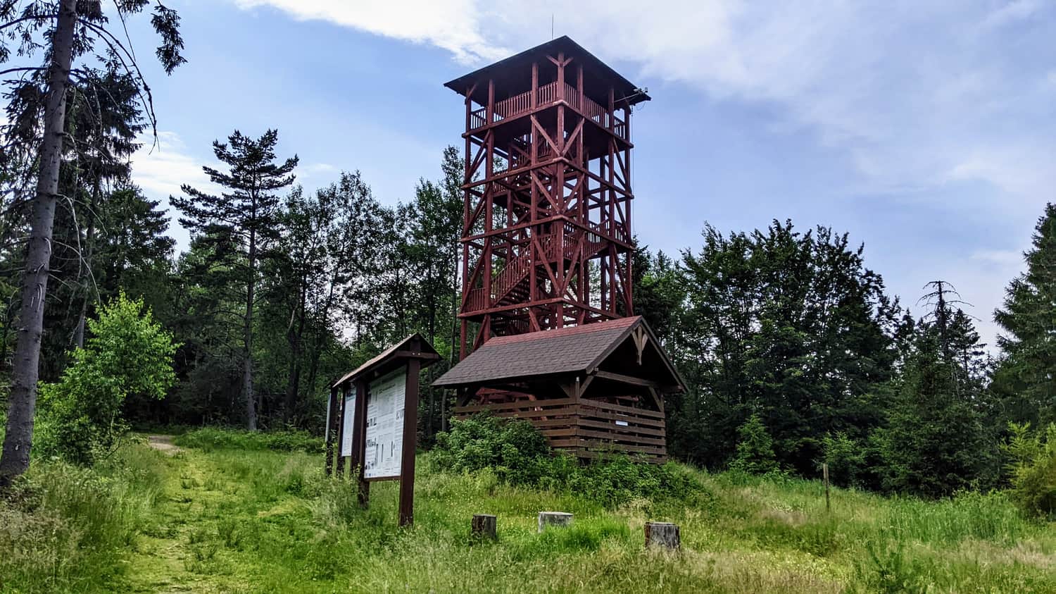
Eliaszówka
Eliaszówka (Slovak: Eliášovka) is an impressive peak in the Beskid Sądecki, located on the Polish-Slovak border. With a height of 1024 meters, it is the highest point of the Gorce Mountains.
On the northeast slope, there is the Sucha Dolina ski resort, which is popular in the region. On the southern slope, in the Lemko village of Litmanowa, there is the Sanctuary of Our Lady of Litmanowa, which is the destination of numerous pilgrimages.
In the past, the slopes of Eliaszówka were treeless and served as pasture areas. Currently, the summit is covered with forests, which somewhat diminishes its scenic attractiveness. During World War II and after the war, the surroundings of Eliaszówka were a popular crossing point for couriers of the Polish Underground State.
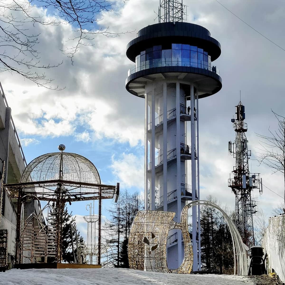
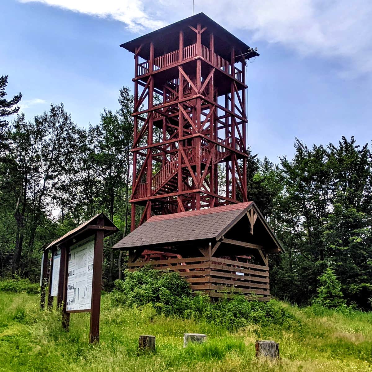
To increase the tourist appeal of the peak, a 20-meter wooden lookout tower, a covered gazebo, a place for bonfires, and an obstacle cycling track were built. It is also worth mentioning that until 2007, there was a tourist border crossing between Eliaszówka and Eliášovka, allowing crossing the border between Poland and Slovakia in this area.
P.S. For more information about other trails leading to Eliaszówka:
Eliaszówka Peak (1024 m) - trail map, views from the tower
All trails to the observation tower on Eliaszówka! ...

Publish Date: