Rycerzowa from Soblówka - yellow trail
Nearby: Żywiecbeach_access Route in the shade
restaurant Restaurant or bar nearby
directions_car Access by car
directions_bus Can be reached by bus
wc Toilet along the route
The shortest and easiest route to the Bacówka PTTK on Rycerzowa leads from Soblówka by the yellow trail. Once you reach the shelter, you can expect beautiful views from the slopes of Wielka and Mała Rycerzowa.
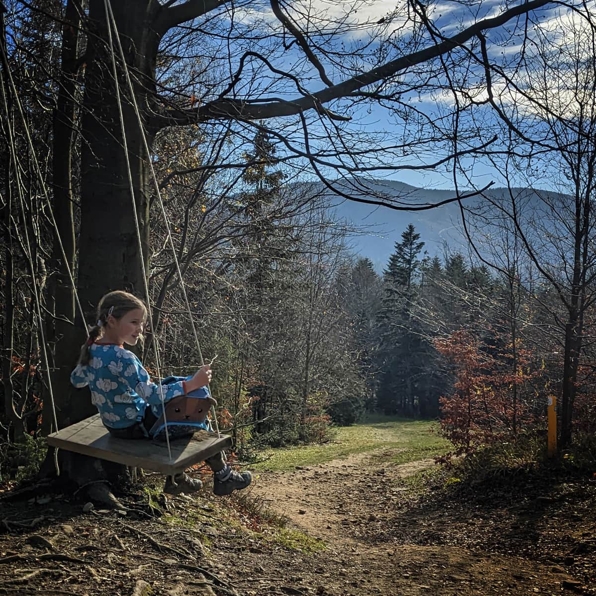
Soblówka: starting point of the yellow trail to Rycerzowa
The easiest trail to Bacówka PTTK on Rycerzowa and to the scenic peaks of Wielka and Mała Rycerzowa leads from the town of Soblówka near Ujsoły. You can get here by bus or car. The trail starts at the church, the PKS stop and a fairly large free parking lot.
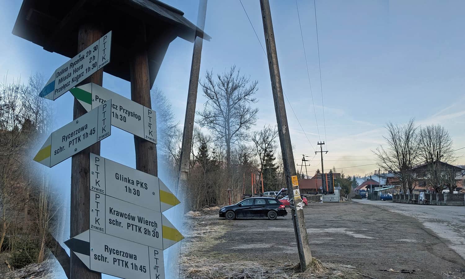
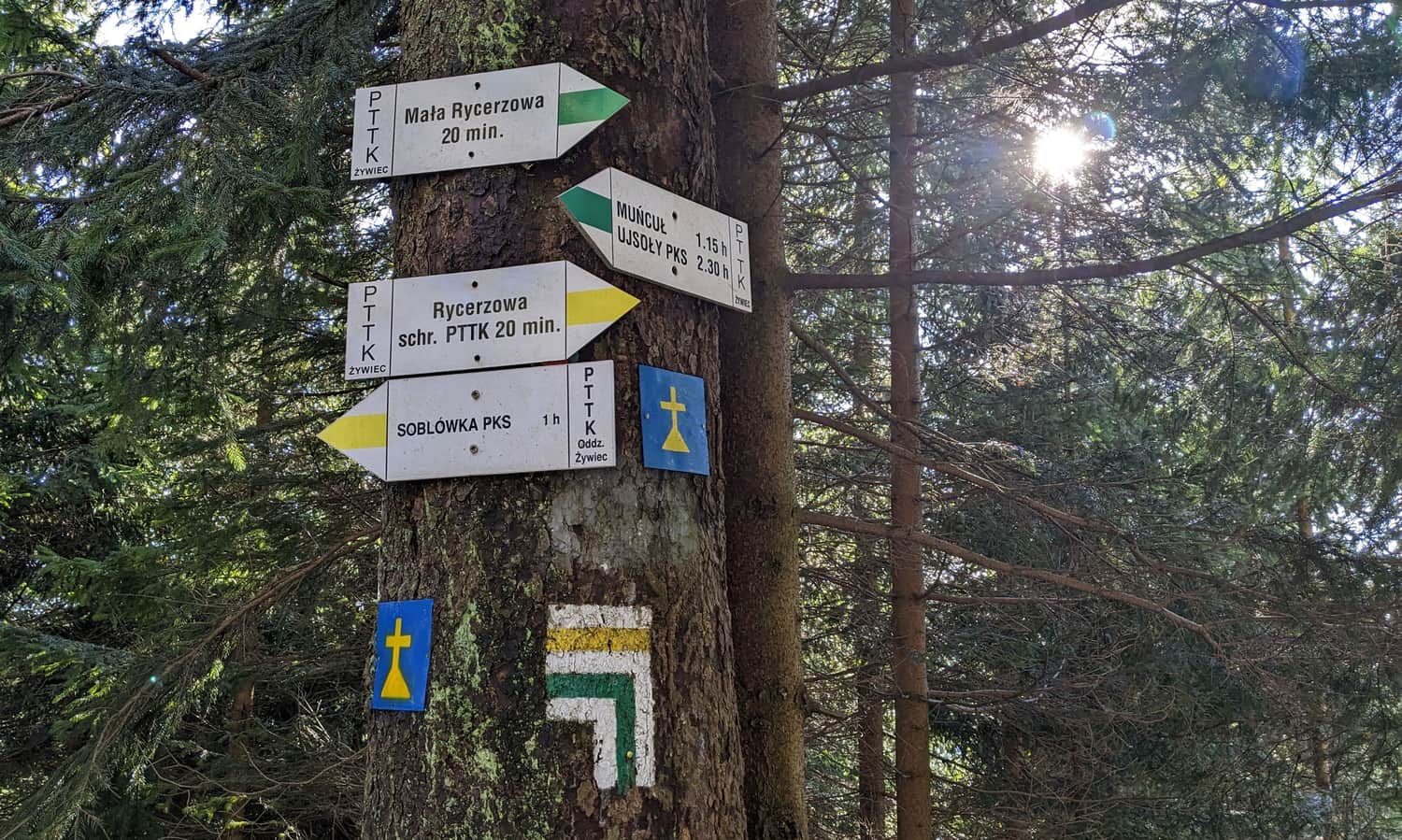
Interestingly, from the same place, there are two direct trails to Bacówka PTTK on Rycerzowa (yellow and a slightly longer black one) and two "indirect" ones: by the green trail we can reach Przełęcz Przysłop, and from there to Wielka Rycerzowa by the border blue trail, while the blue trail will lead us to Przełęcz Kotarz, from where the green trail leads to Mała Rycerzowa. This gives us several different possibilities to loop and not return to the starting point the same way.
Yellow trail Soblówka - Bacówka PTTK on Rycerzowa
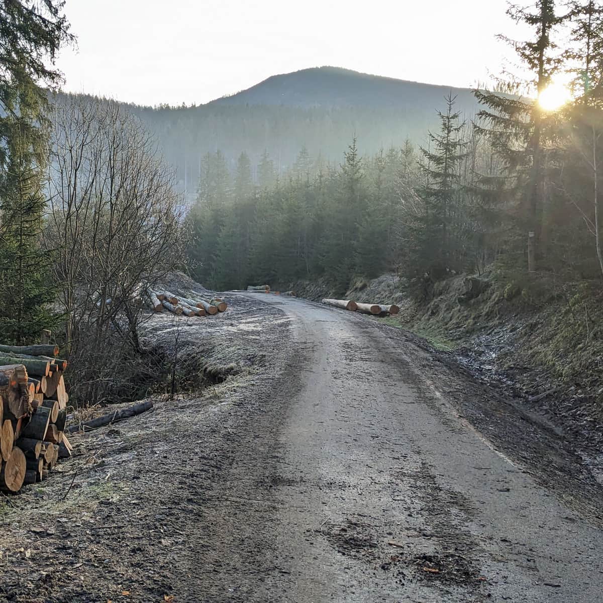
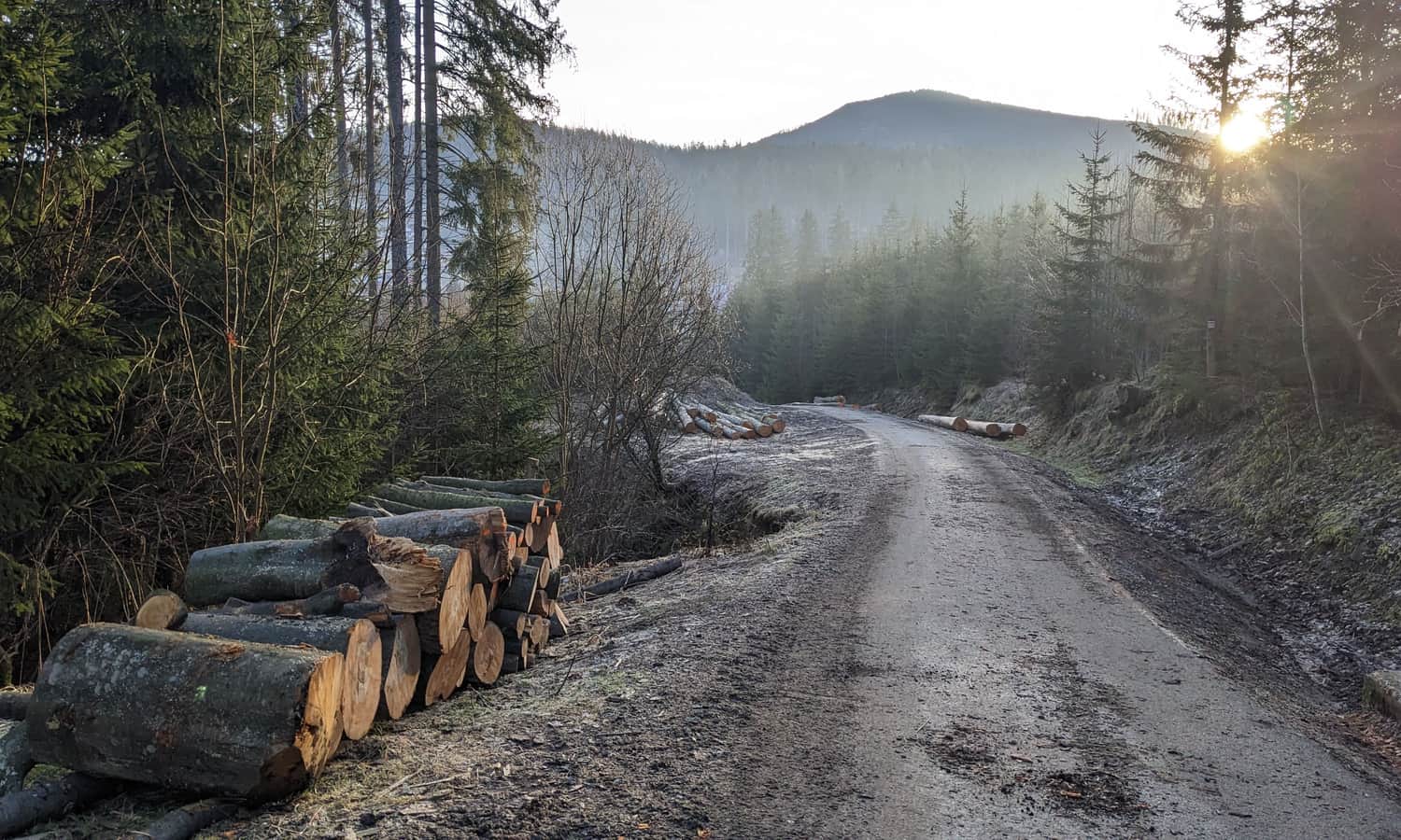
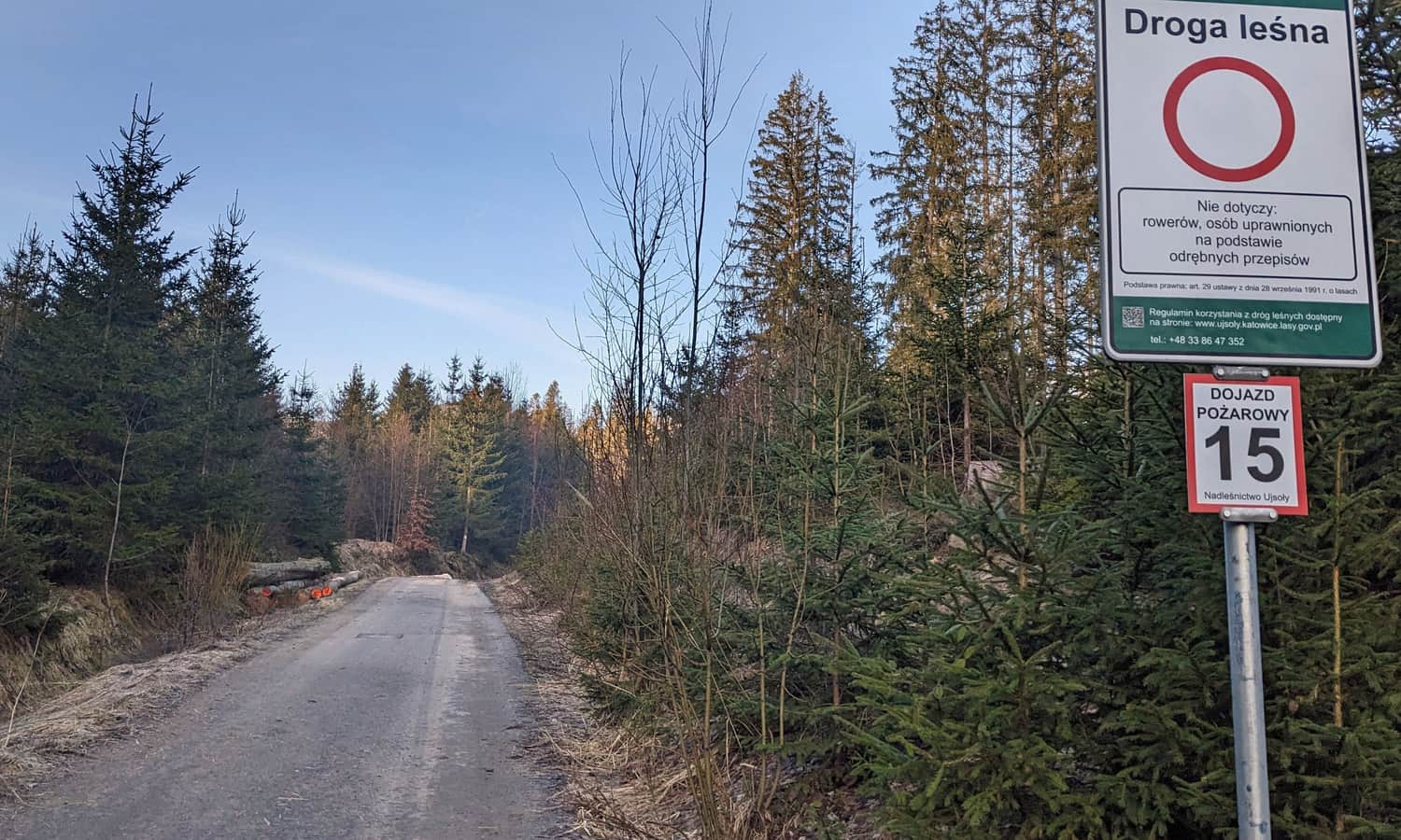
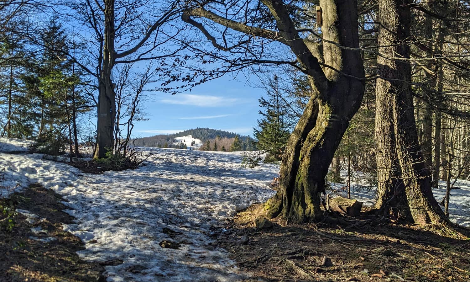
The beginning of the route (over a kilometer) is a comfortable forest road, first asphalt:
and then a beaten path, but still very comfortable:
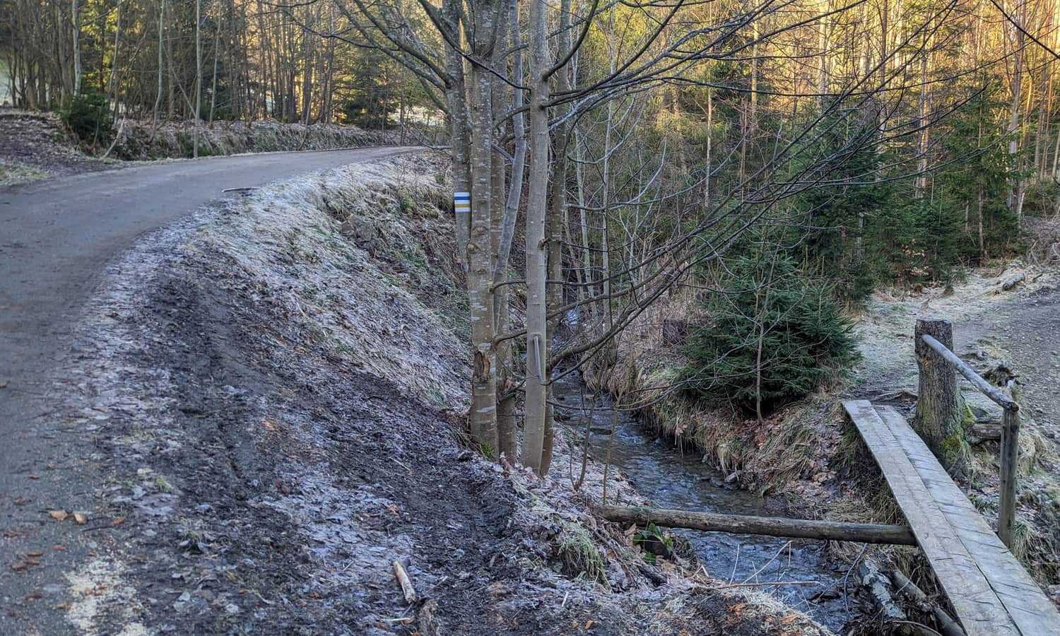
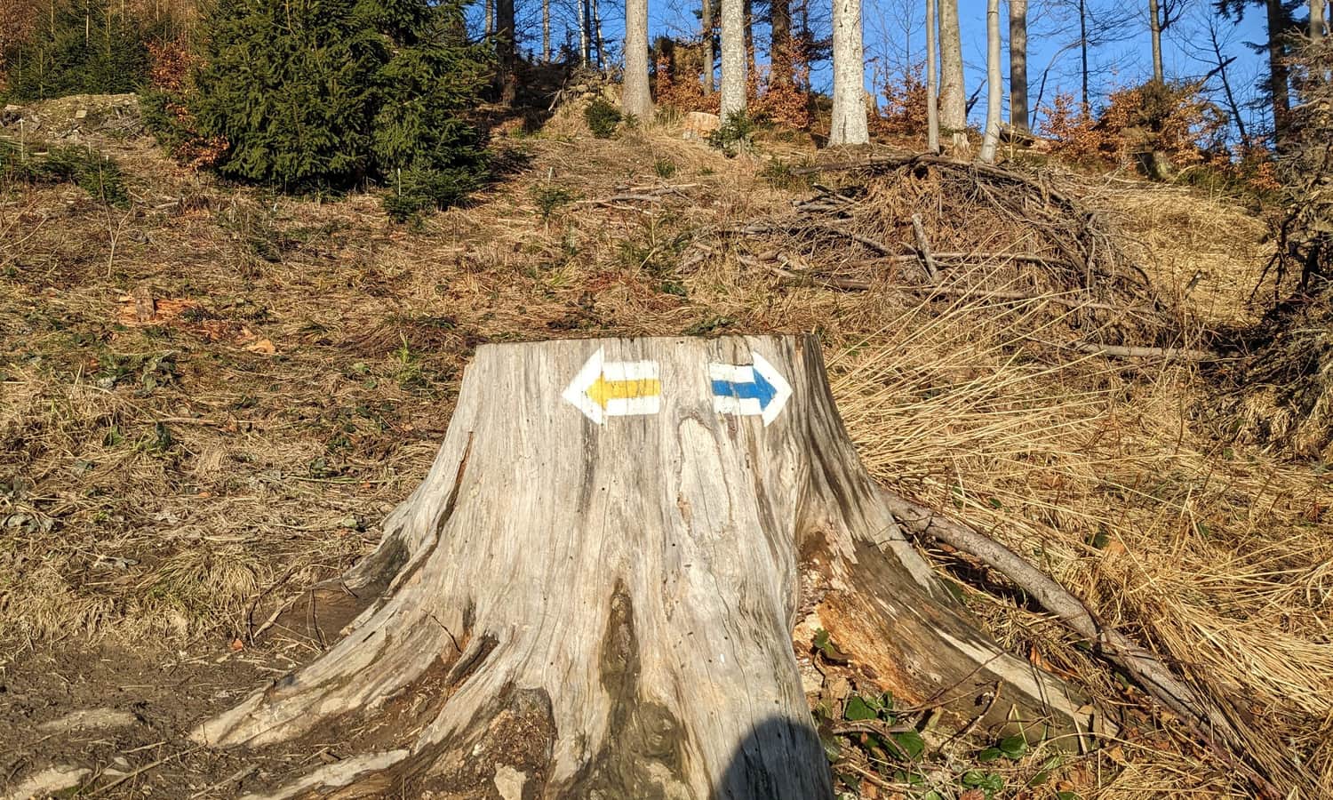
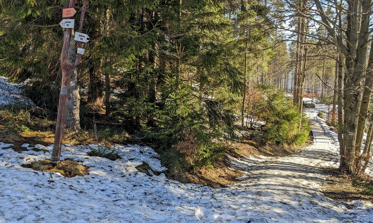
After about 20 min. from entering the trail, yellow and blue signs turn off onto a narrow path to the right. It gets steeper and narrower, but more and more scenic! Soon we reach the trail junction, we turn left:
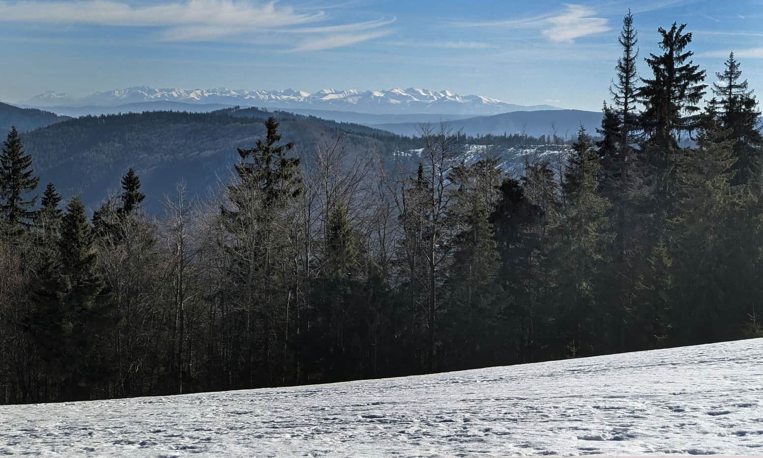
Views from the yellow trail from Soblówka to Rycerzowa
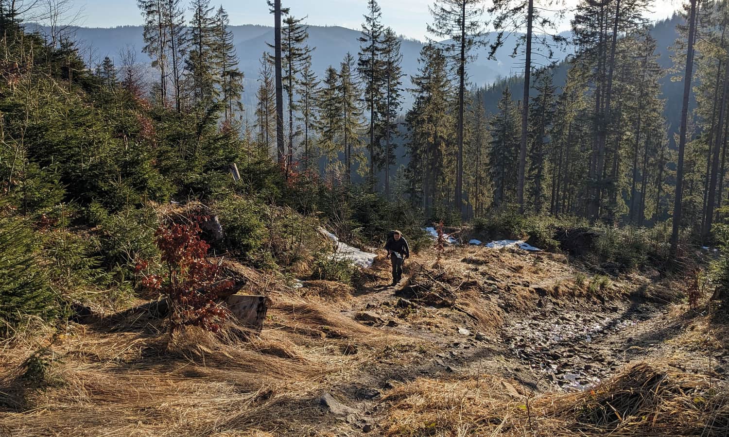
The higher we climb, the sparser the forest becomes, and behind us, wider panoramas open up. It's worth stopping and looking back!
Initially, we will see the forested hill of Smerekowa Wielkiego towering over Soblówka, then a fragment of the nearby border range.
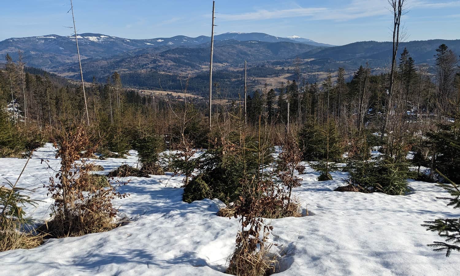
However, after turning the yellow trail south, we will have a much wider view: from Lipowski Wierch and Rysianka, through Pilsko and Krawców Wierch, to Babia Góra and Przełęcz Glinka.
From this moment (this is about halfway) we have a fairly gentle approach to the destination of our route. Along the way, we will enter a denser forest again, where we will meet the green trail from Ujsoły.
Soon the green trails will turn off to the picturesque meadows of Mała Rycerzowa:
Meanwhile, we are going through the forest to the shelter, which is very, very close. Just the black signs will join us (this is an alternative trail from Soblówka):
...and we are at our destination!
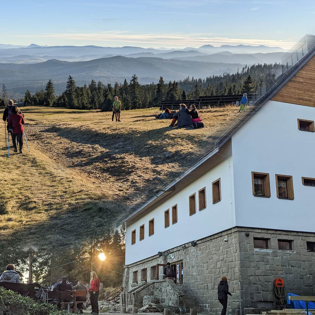
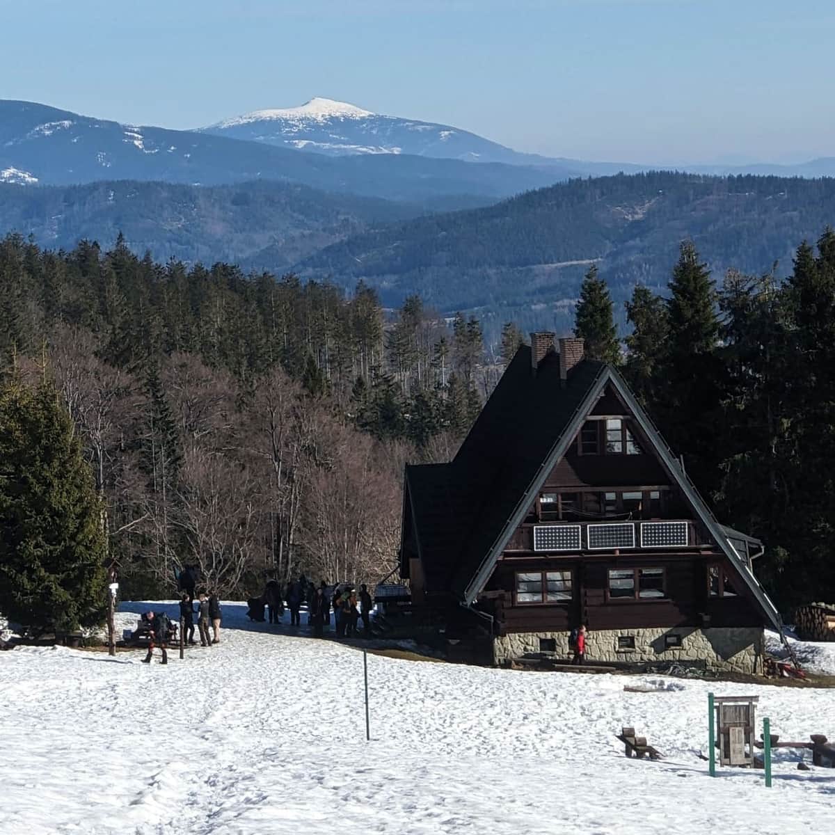
Bacówka PTTK on Rycerzowa under Przełęcz Halna
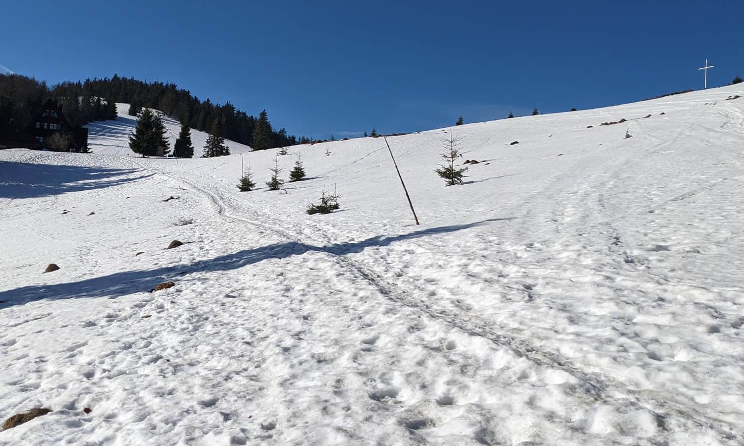
As soon as we leave the forest we will see our goal: a cozy shelter between the peaks of Wielka and Mała Rycerzowa. Here it is: Bacówka PTTK on Rycerzowa.
Przełęcz Halna, Wielka and Mała Rycerzowa
The name of the shelter is somewhat misleading. In fact, it is located not so much "on" as between the two Rycerzowas, Mała and Wielka, and more precisely a little below the pass connecting the peaks, Przełęcz Halna.
Right from the shelter, you will see everything that is most beautiful: Pilsko, Babia Góra and the Tatras.
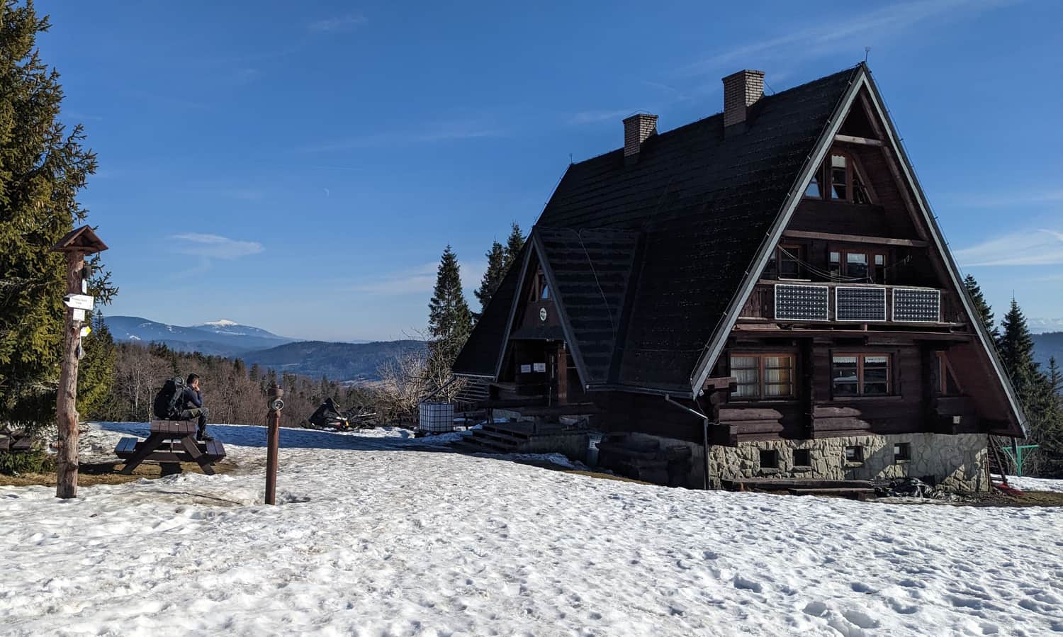
However, it is worth going a little higher: to Przełęcz Halna and the meadows on the slopes of Mała and Wielka Rycerzowa. The panorama from here is even more breathtaking!
...and back to Soblówka
The descent to the starting point of the trail in Soblówka will take us about 1 hour 15 min. by the yellow trail, or about 1.5 hours by the black trail.
You can read more about Bacówka PTTK on Rycerzowa, views from the peaks of Wielka and Mała Rycerzowa, as well as other trails leading here in this article:
PTTK Bacówka on Rycerzowa: all trails to Wielka and Mała Rycerzowa
PTTK Bacówka on Rycerzowa is a popular hiking destination in the Żywiecki Beskids. The shelter is located near the Halna Pass, close to Wielka and Mała Rycerzowa (1226 and 1207 m above sea level) and offers stunning panoramic views of the Tatra Mountains, Beskids, and the Slovakian Wielka and Mała Fatra. ...

Publish Date:
Last Updated: