
PTTK Bacówka on Rycerzowa: all trails to Wielka and Mała Rycerzowa
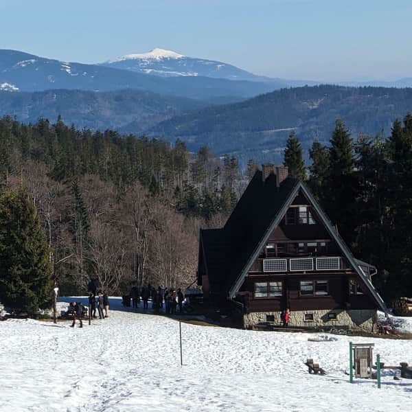
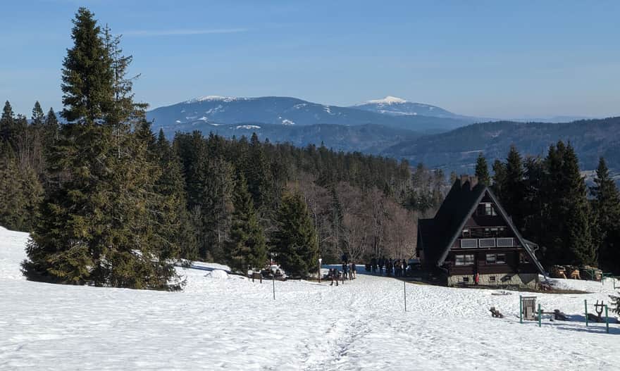
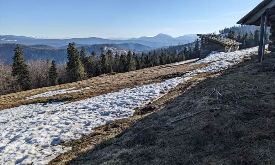
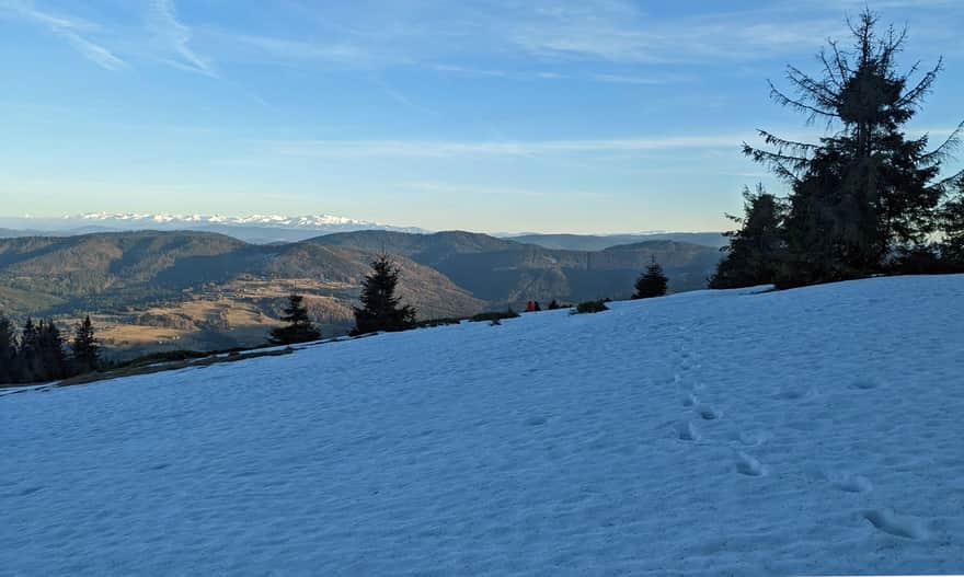
The PTTK Bacówka on Rycerzowa is one of the most popular hiking destinations in the Żywiecki Beskids. The shelter is located near the Halna Pass, close to Wielka and Mała Rycerzowa (1226 and 1207 m above sea level) and offers stunning panoramic views of the Tatra Mountains, Silesian and Żywiecki Beskids, as well as the Slovakian Low Tatras, Wielka and Mała Fatra.
PTTK Bacówka on Rycerzowa: History and trivia
The shelter under the peaks of Mała and Wielka Rycerzowa was established in 1975 and is the oldest preserved 'bacówka', one of many intimate mountain accommodation facilities built in the 70s and 80s according to one design. Doesn't it remind you of the shelters on Krawcowy Wierch or Maciejowa?
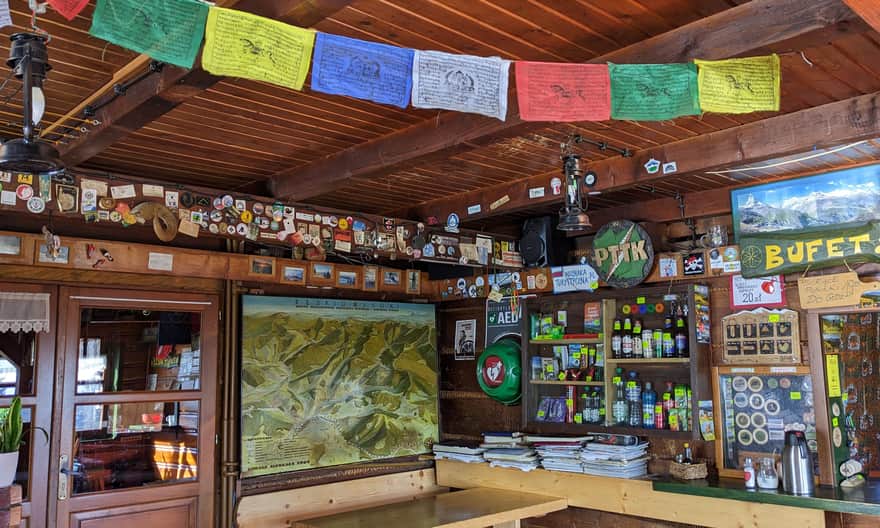
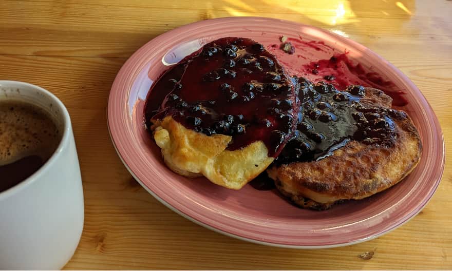
Today, this place is famous for its friendly, secluded atmosphere, and above all, delicious pancakes with blueberries! Attention: the large portion is very filling, it's worth sharing it between two people!
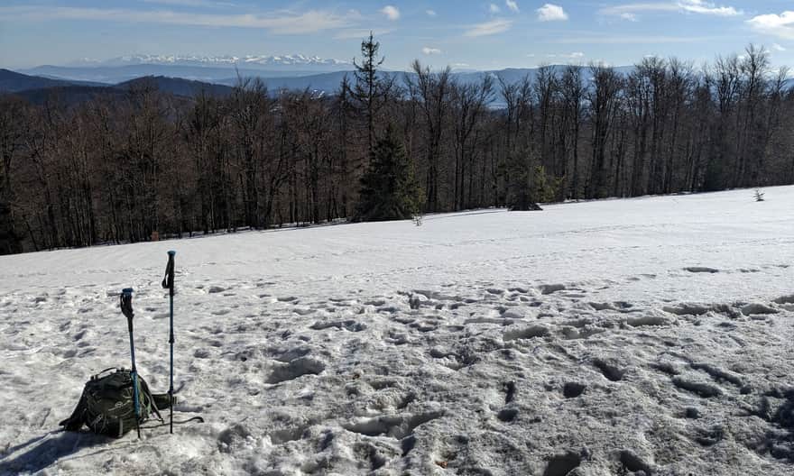
What can we see from Rycerzowa?
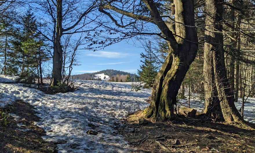
Beautiful views await us right at the bacówka, and we can even observe the Tatra Mountains from its windows. However, it's worth putting in a little more effort and climb to the Halna Pass, and from there to Wielka Rycerzowa (1226 m above sea level, 15 min. red trail from the pass) and to the meadows on the northeastern slopes of Mała Rycerzowa (1207 m above sea level, 15 min. green trail from the pass). Even more beautiful views await us there!
How to get to Rycerzowa?
Several trails from Rycerki, Ujsoły and Soblówka lead to both the bacówka and the peaks of Wielka and Mała Rycerzowa.
The shortest and easiest trail to Rycerzowa
The fastest, shortest and easiest way to Rycerzowa is the yellow trail from Soblówka, which will take us to our destination in about 2 hours.
Medium
Rycerzowa from Soblówka - yellow trail

Other trails to Rycerzowa from Soblówka
From the same town, we can also reach the shelter and Halna Pass by the black trail (6 km, 480 m elevation gain, about 2:15 hours one way).
We also have the option of climbing from Soblówka via the green trail to Przysłop Pass, and from there via the yellow trail to the bacówka (in total 7 km, 500 m elevation gain, about 2.5 hours one way), or via the blue trail to the peak of Wielka Rycerzowa and from there to the shelter (in total 7.5 km, 600 m elevation gain, about 3 hours one way).
Another route from Soblówka to Rycerzowa is to take the blue trail to Kotarz Pass and from there the green trail through Wiertalówka directly to Mała Rycerzowa and Halna Pass. Such a trip is in total 6.5 km, less than 600 m elevation gain, about 2:45 hours. godz. one way.
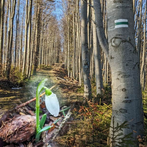
To Rycerzowa from Ujsoły through Muńcuł
A longer, but very varied and scenic route to Rycerzowa leads from the town of Ujsoły through Muńcuł:
Medium
Green trail Ujsoły - Muńcuł - Mała and Wielka Rycerzowa

To Rycerzowa from Rycerka
From Rycerka train station to the peak of Rycerzowa leads a red trail through Hutyrów and Mladá Hora: almost 12 km, 860 m elevation gain, about 4.5 hours one way.
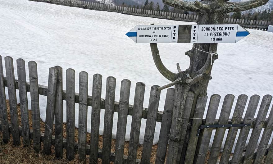
It's closer from Rycerka Górna Kolonia: first take the green trail to PTTK Przegibek Shelter and from there the blue trail to Halna Pass and to Rycerzowa (in total 9.5 km, 650 m elevation gain, about 3.5 hours one way). You can also climb to Rycerzowa from Joneczkowe Rycerki: take the blue trail to Mladá Hora and from there the red trail (in total 5.3 km, 550 m elevation gain, about 2:15 hours one way).


Publish Date:
Last Updated: