Green trail Ujsoły - Muńcuł - Mała and Wielka Rycerzowa
Nearby: Żywiecbeach_access Route in the shade
restaurant Restaurant or bar nearby
directions_car Access by car
directions_bus Can be reached by bus
wc Toilet along the route
The green trail from the village of Ujsoły to Mała and Wielka Rycerzowa through Muńcuł, Kotarz, and Wiertalówka is indeed one of the longer routes to popular peaks in the so-called Worek Raczański, but it is very interesting, varied, and scenic.
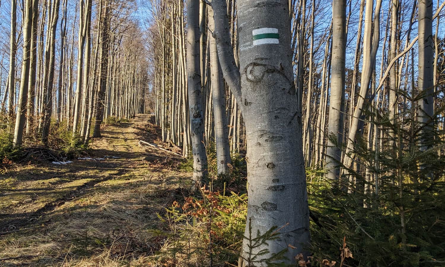
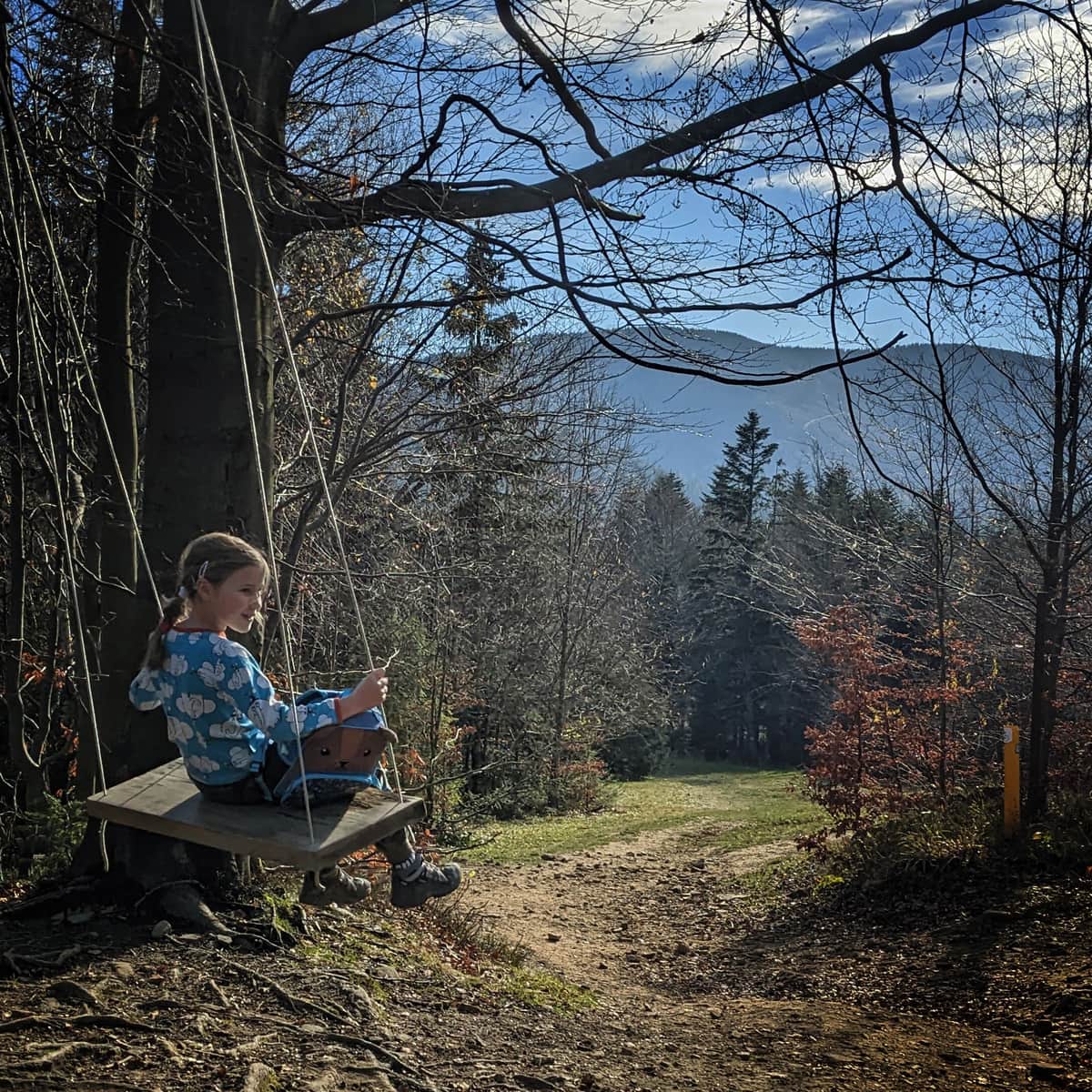
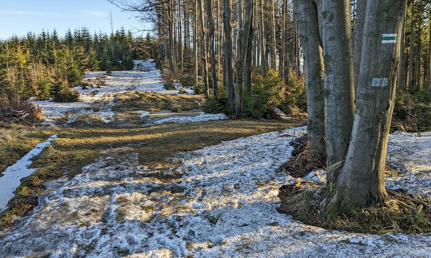
Start of the green trail in Ujsoły
The green trail to Mała Rycerzowa begins in Ujsoły on Danielki street. You can get here by bus, minibus or car (parking near the church or on Bystrej street). The initial section of the route is a strenuous climb through the forest. Only after about 1 hour will we reach the extensive meadows in the Szczytówka estate.
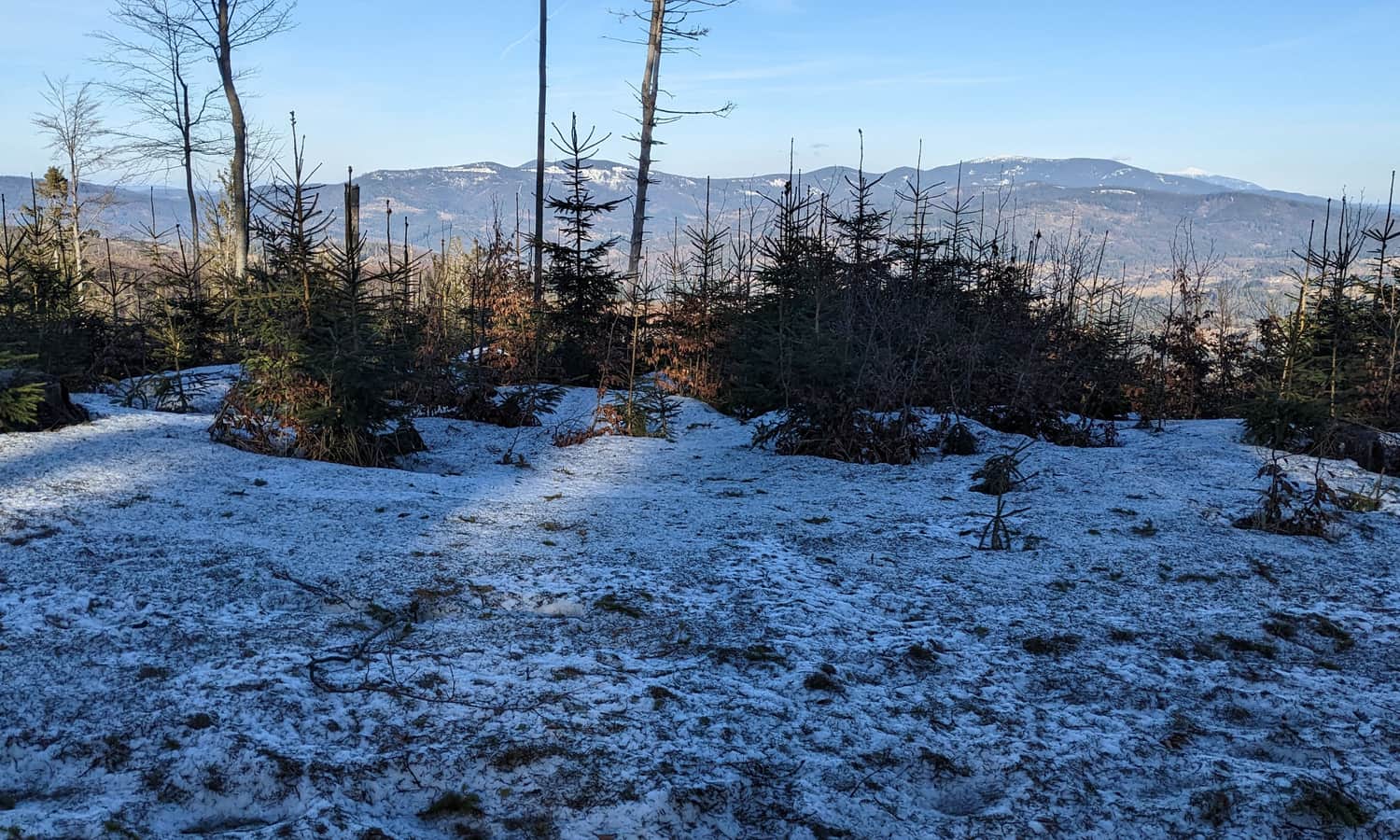
Here we will experience a momentary "flattening", and also (and above all!) the first views. First to the east and the border range, including Krawców Wierch with Glinka and Kubiesówka, and after a while also a window to the northwest and the peaks of the Silesian Beskids:
Green trail to Muńcuł and Rycerzowa
After the Szczytówka estate, the green signs climb up again. This time our goal is the first peak on the green trail, Muńcuł.
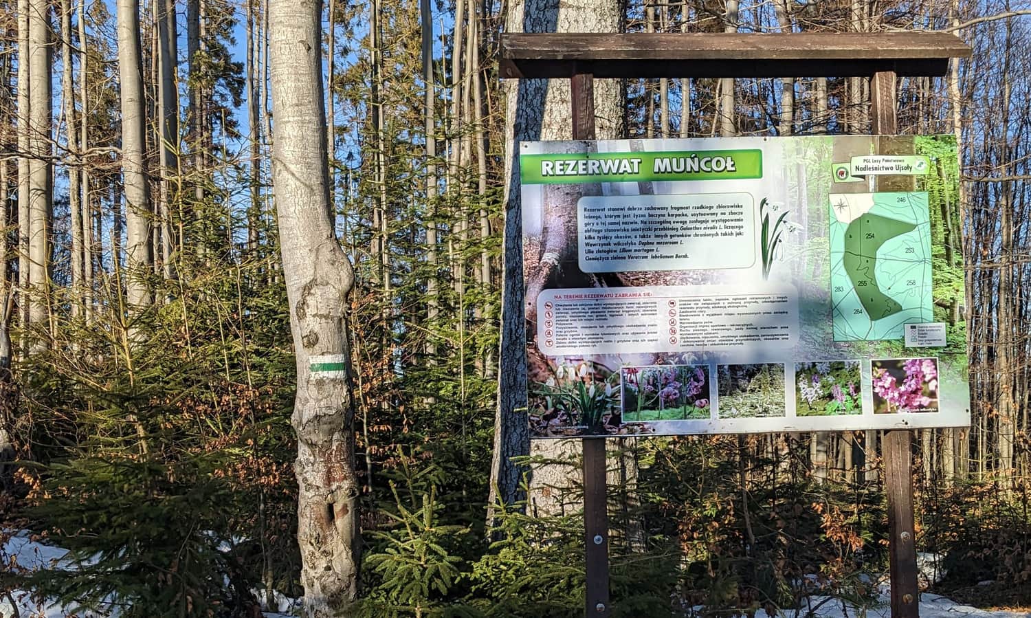
Muńcuł - peak, reserve and views
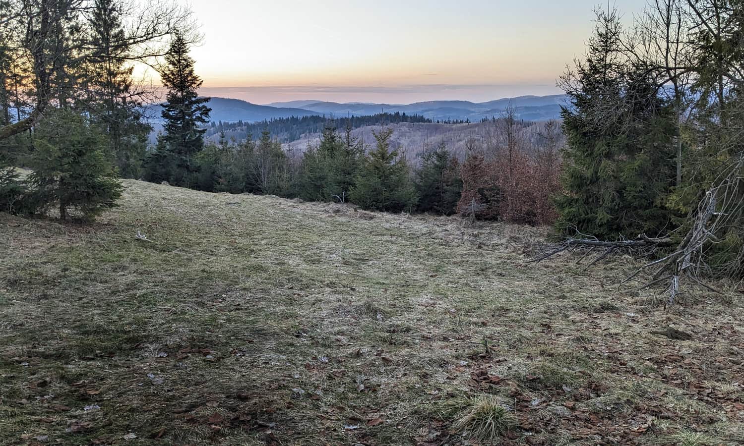
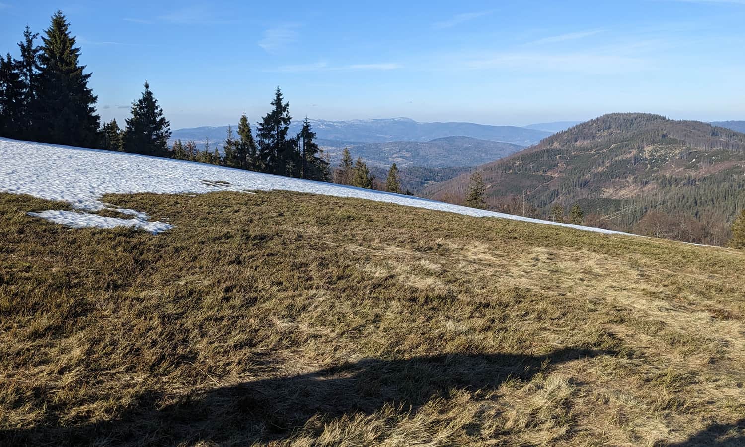
Before we conquer the forested peak of Muńcuł (1165 m above sea level) it is worth stopping at the scenic meadows located on its eastern slopes. It's really worth planning a longer stop here!
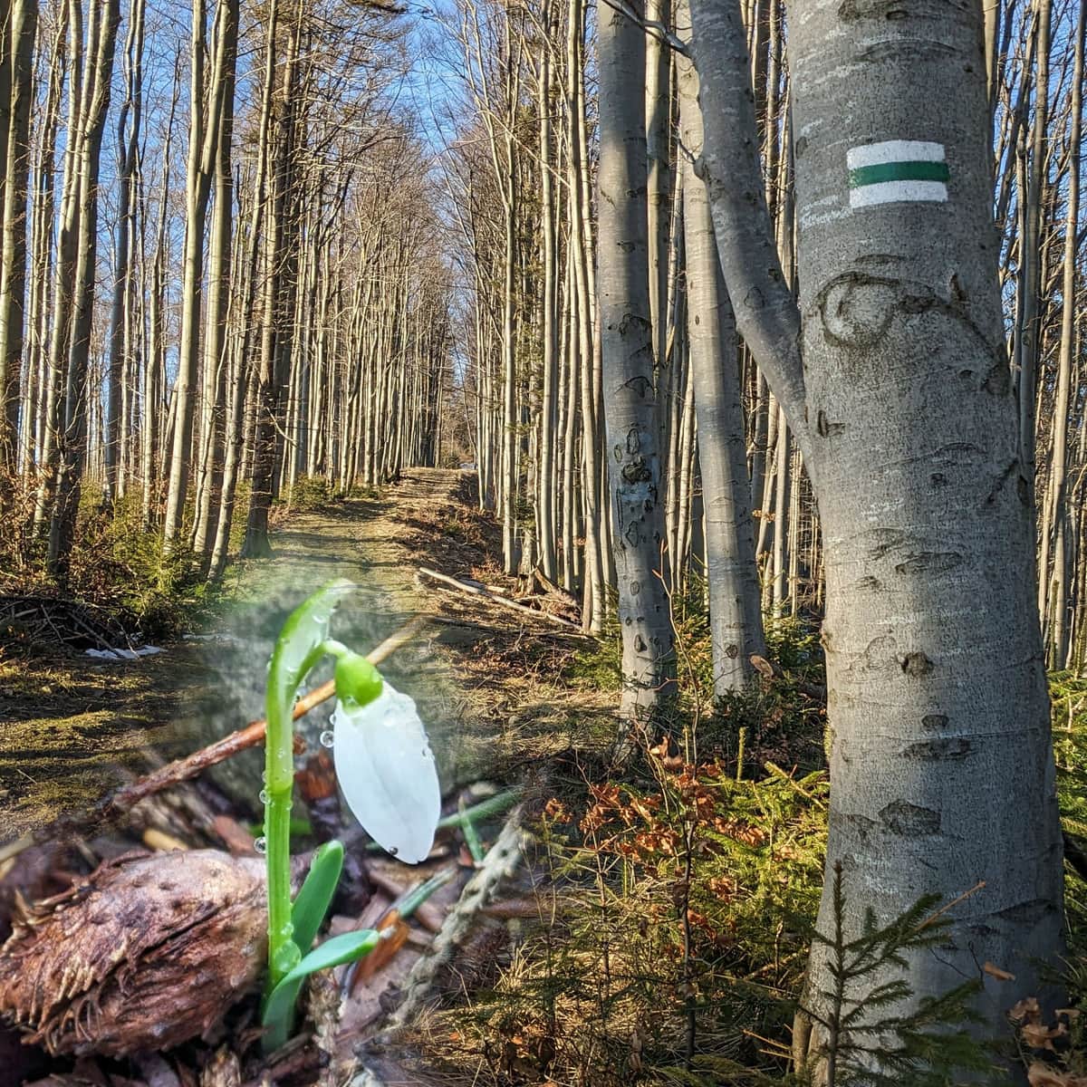
After entering the forest, another attraction awaits us: the Muńcoł Reserve, which protects abundant snowdrop sites in addition to the beautiful beech forest. So it's especially worth coming here in early spring!
Kotarz, Kotarz Pass and Wiertalówka
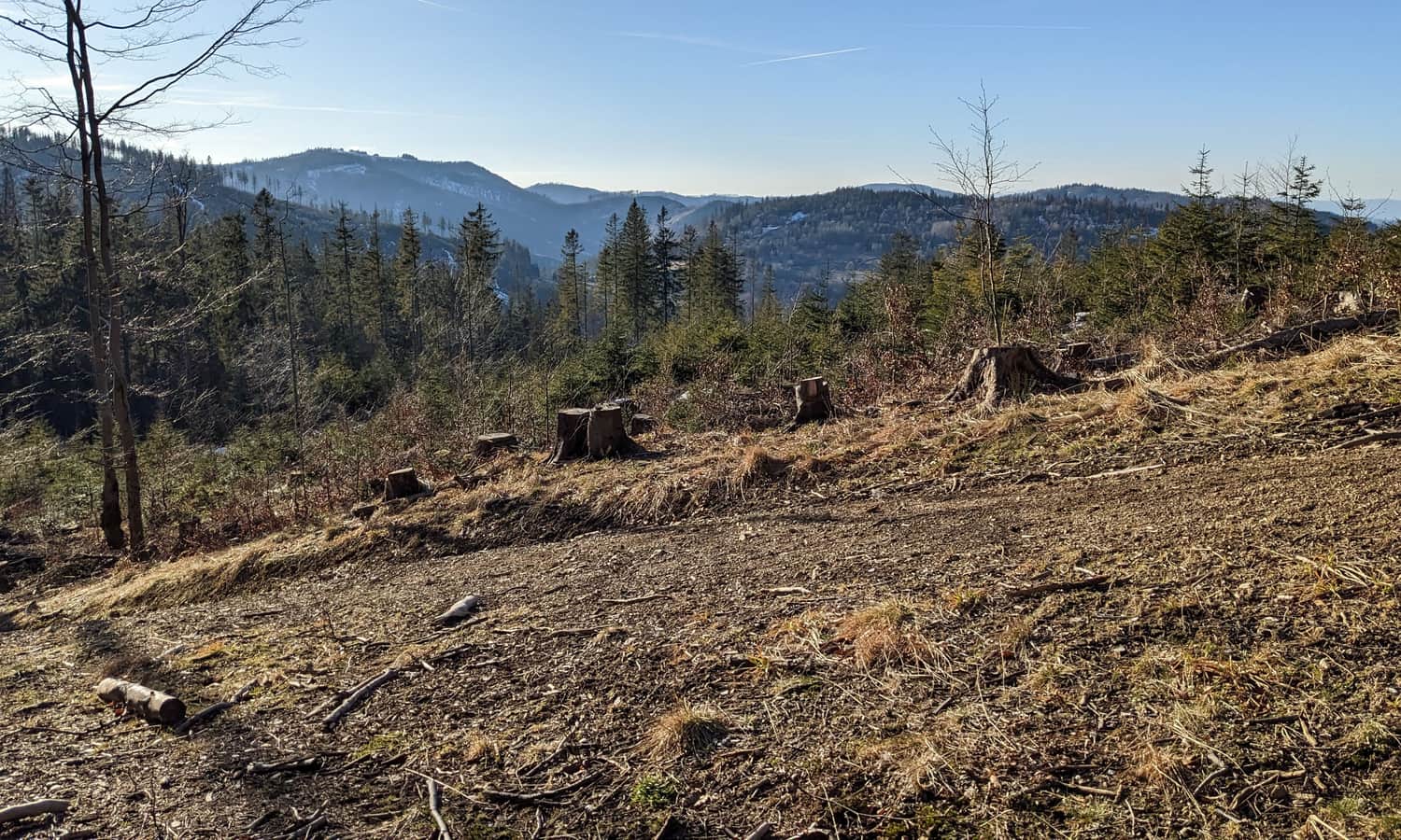
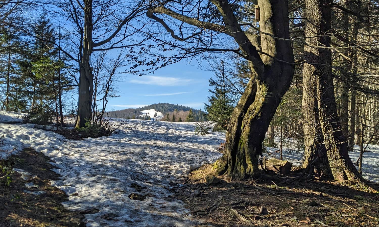
We descend from Muńcuł by a wide forest road through Kotarz to the pass of the same name. Through the sparse forest, views open to the west and the neighboring peaks of the Worek Raczański.
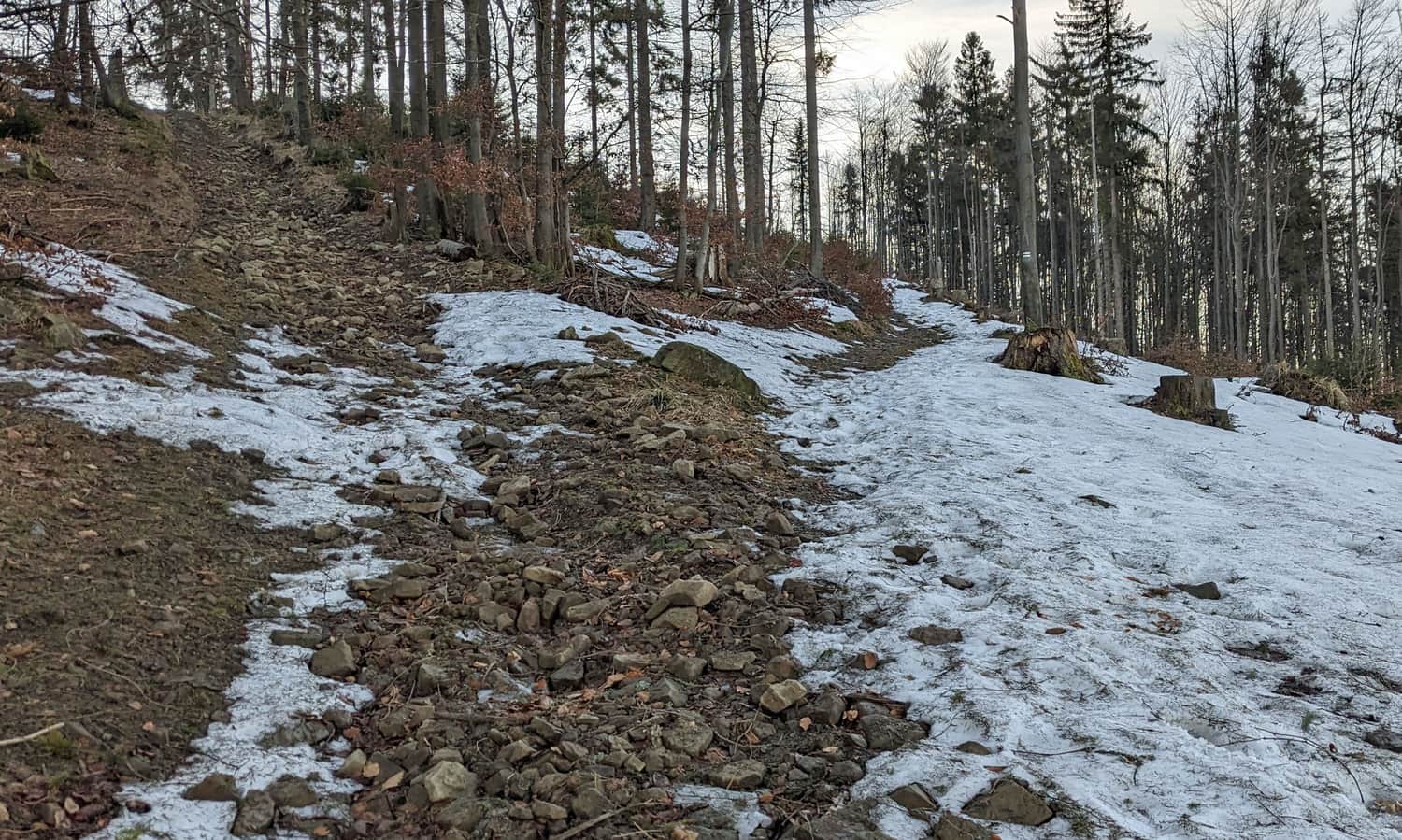
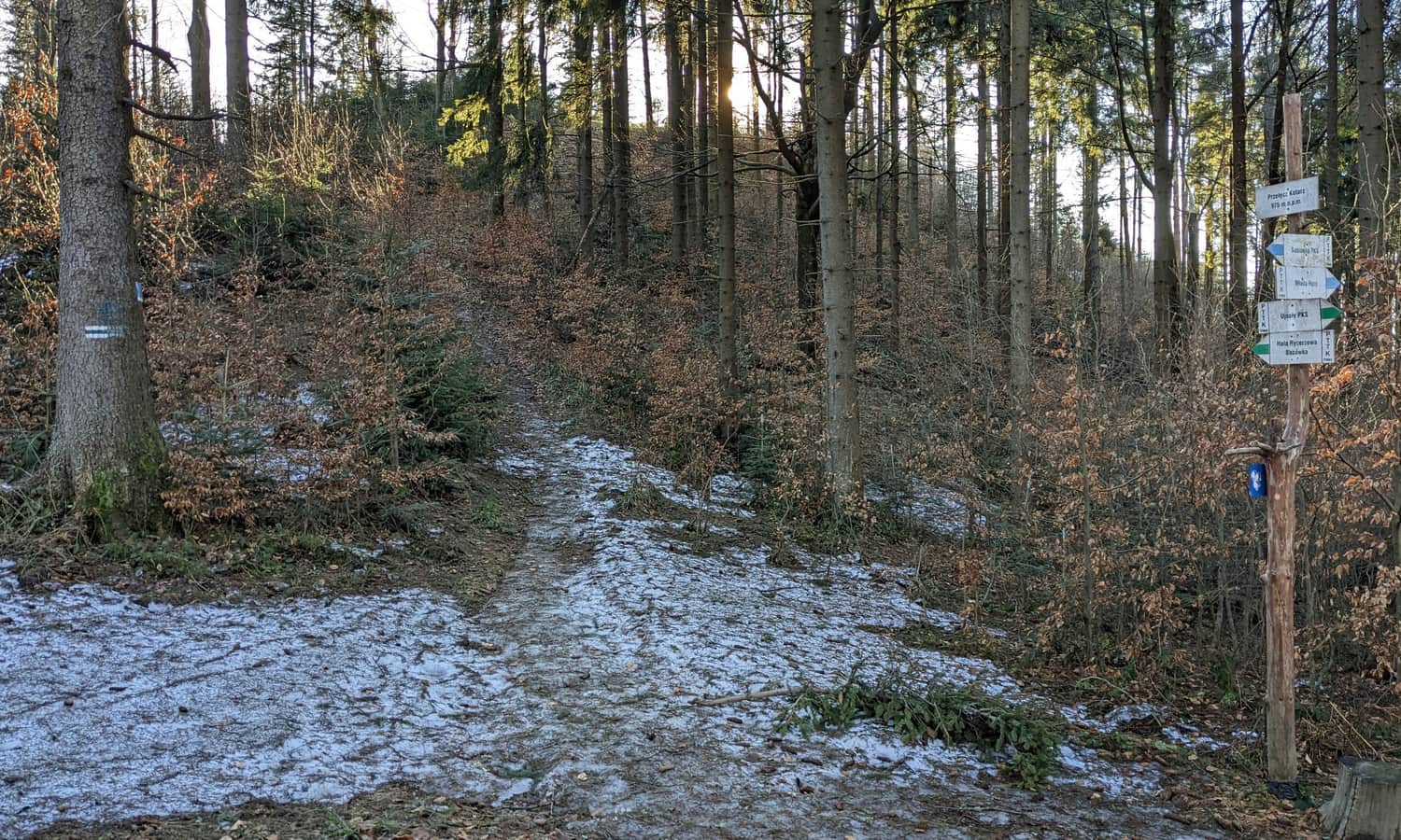
After passing through the Kotarz Pass (intersection with the blue trail) we have a bit of climbing to Wiertalówka.
Fortunately, after a short climb, the trail flattens again...
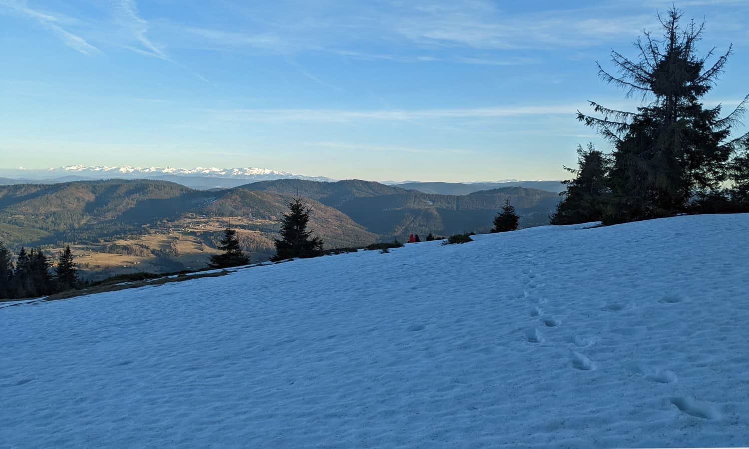
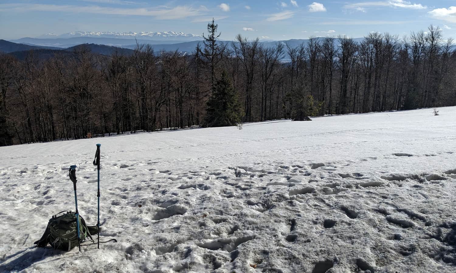
...and once again, views accompany our hike! This time to the east, from here we will see Lipowski Wierch, Pilsko and Babia Góra shyly peeping out from behind it:
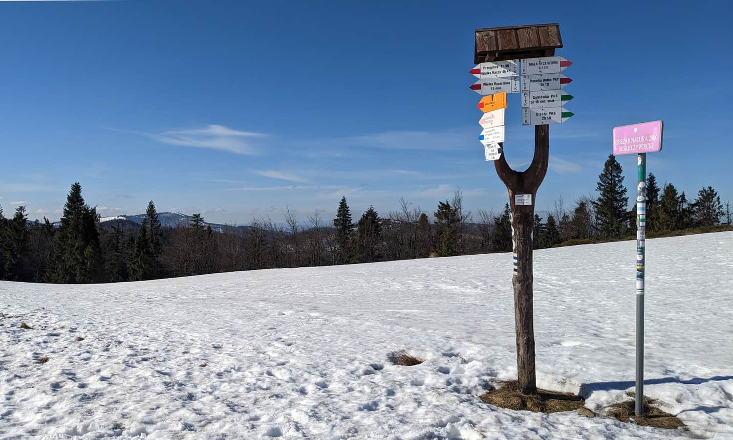
Mała Rycerzowa, 1207 m above sea level
Just before reaching Mała Rycerzowa, the yellow trail Soblówka - Bacówka PTTK on Rycerzowa joins us. However, we turn off from it following the green signs straight to the scenic meadows of Mała Rycerzowa.
The views from the meadows on Mała Rycerzowa are among the most beautiful in the Żywiecki Beskids! From here we will see both the Silesian and Silesian-Moravian Beskids to the west, the Small Beskid to the north, Romanka with Lipowski Wierch and Rysianka, Pilsko, Babia Góra and the Tatra Mountains, as well as Slovak ranges: Lower Tatras, Great and Small Fatra.
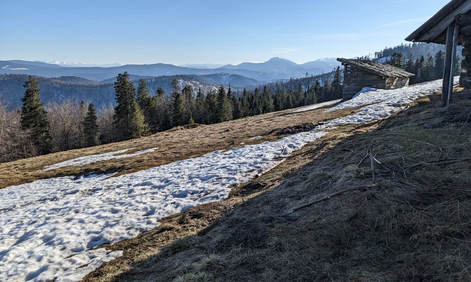
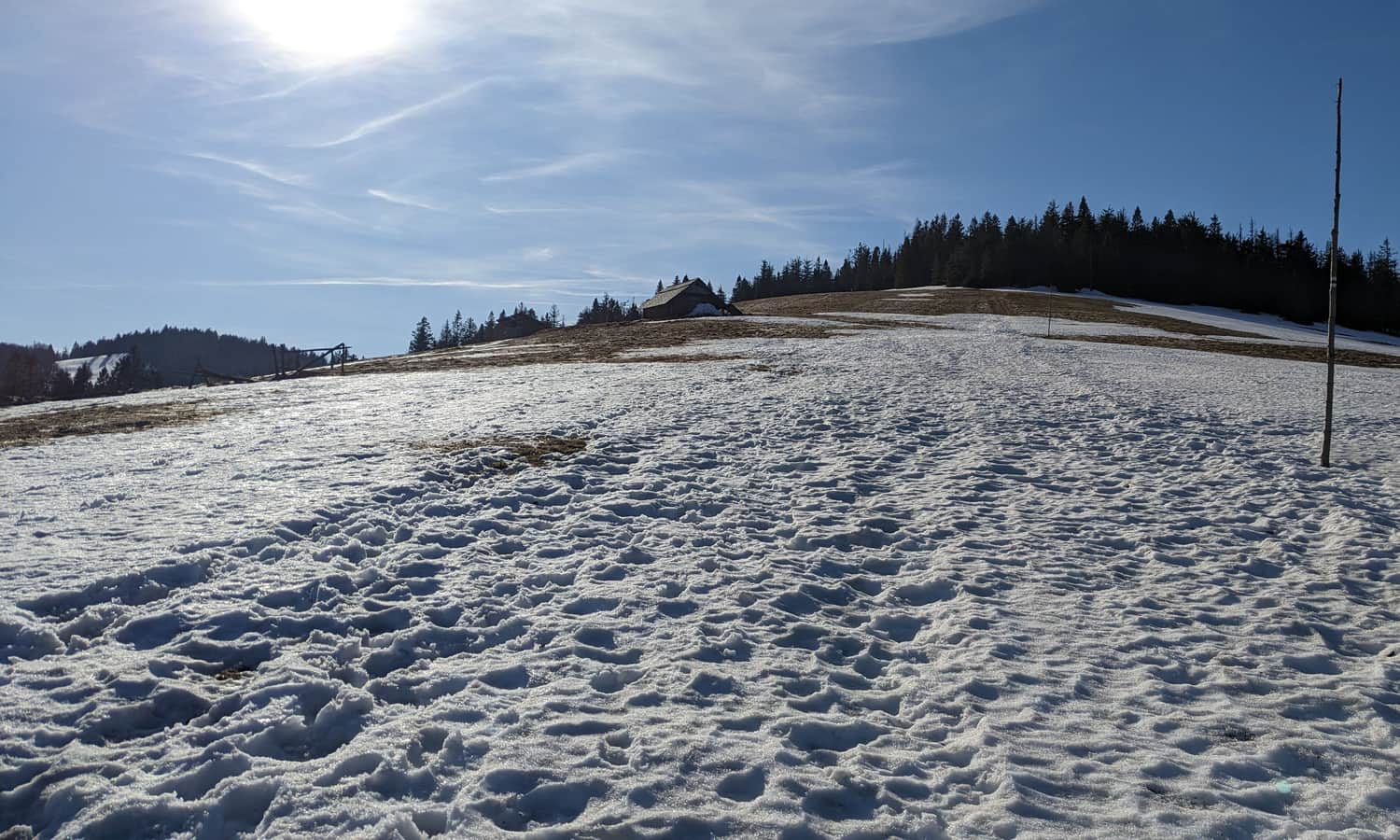
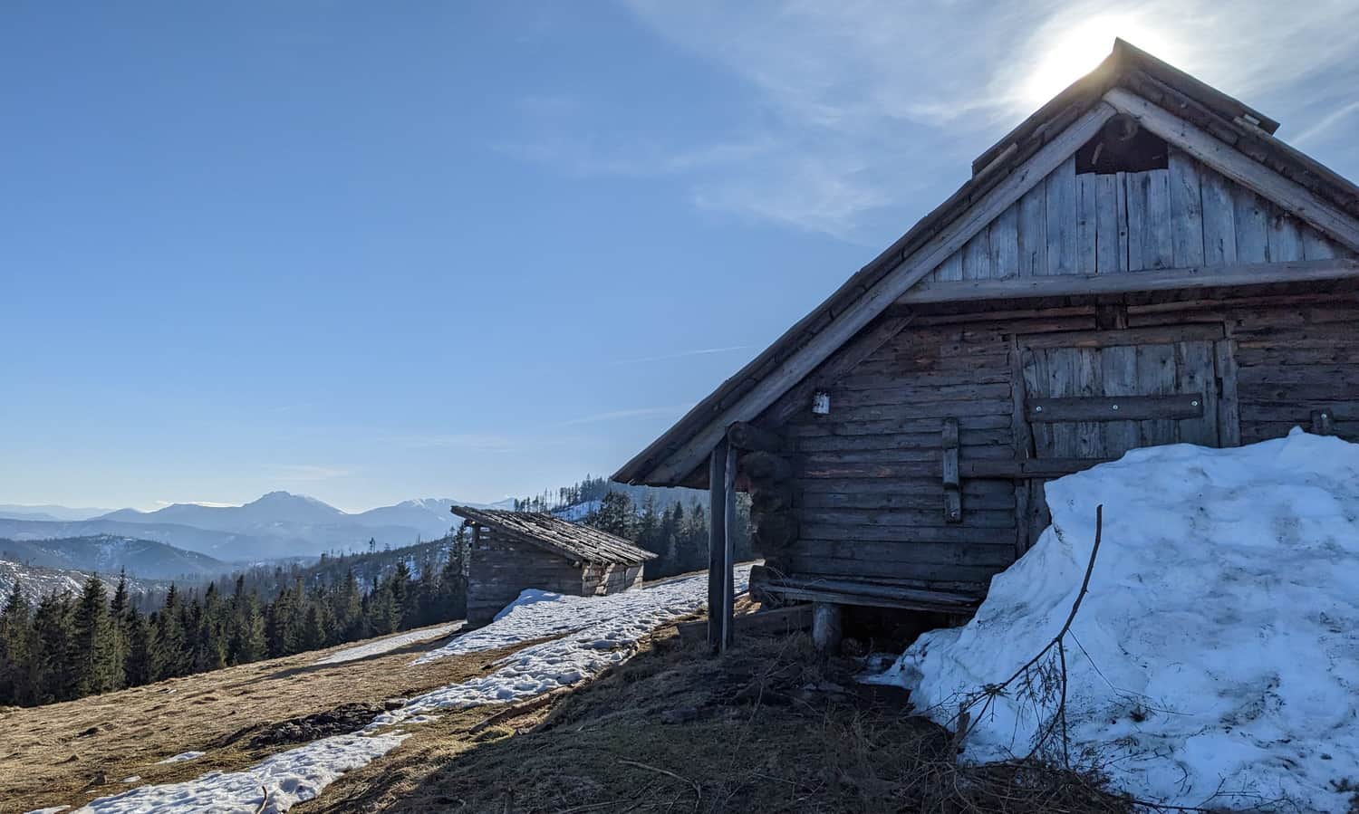
The panorama is given additional charm by a large wooden shepherd's hut located here.
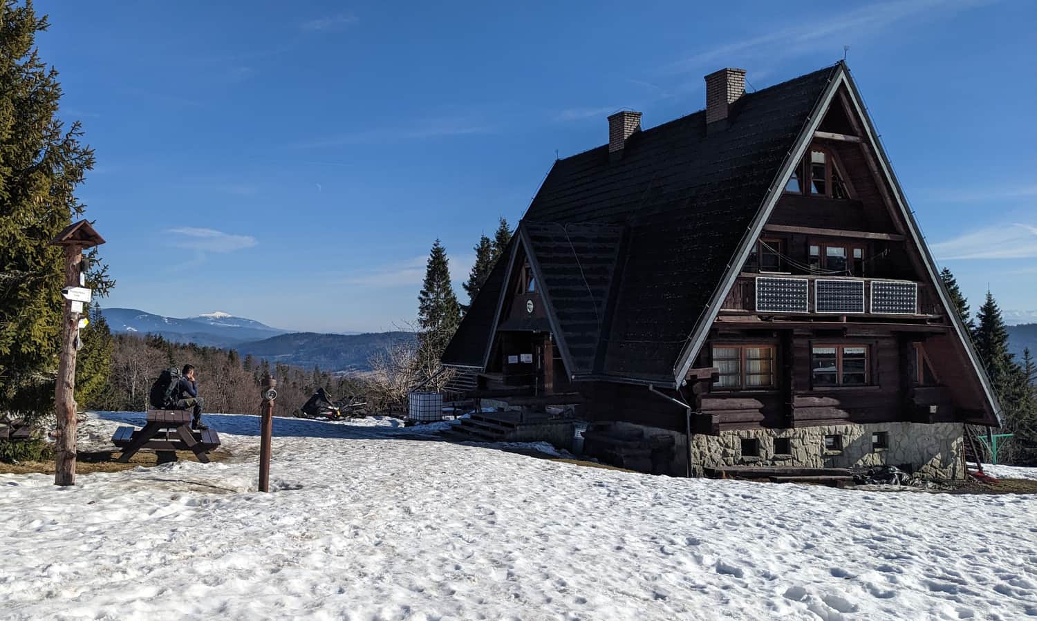
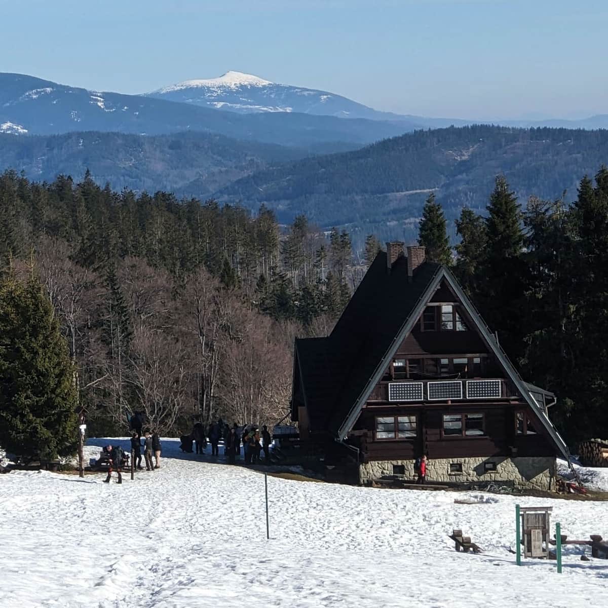
Halna Pass and Bacówka PTTK on Rycerzowa
The green trail from Ujsoły leads us through Mała Rycerzowa to the Halna Pass.
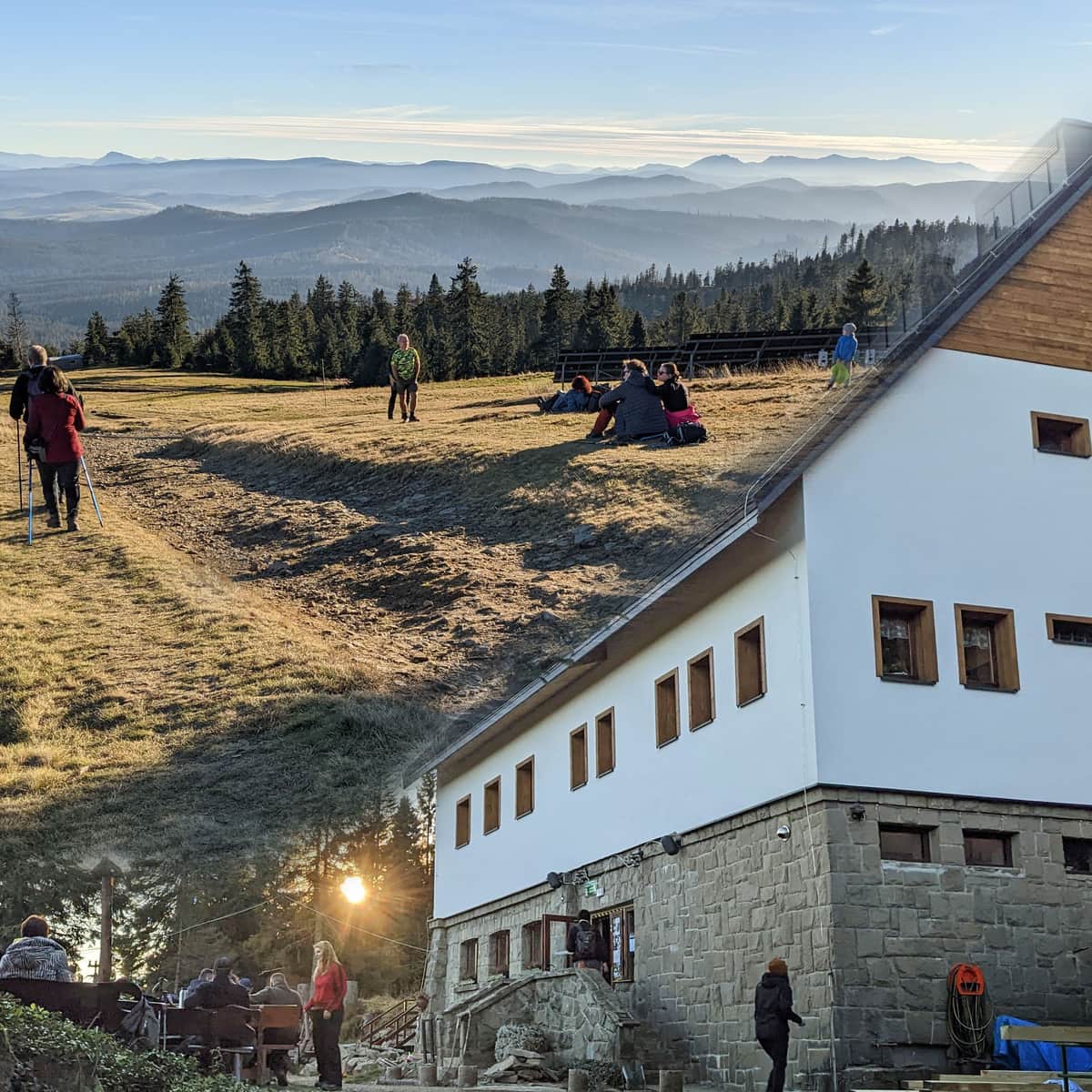
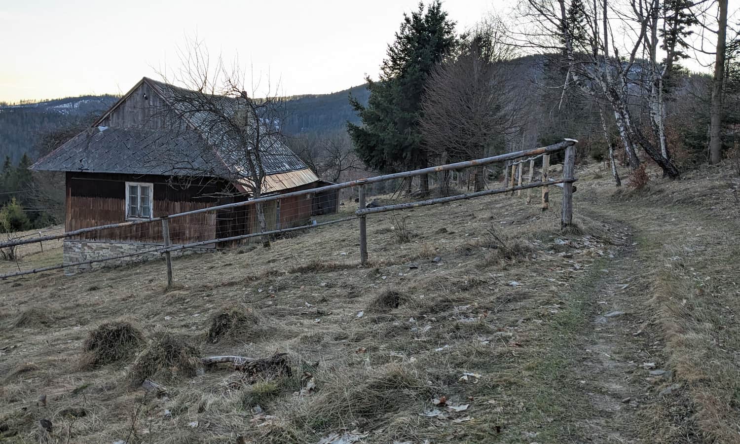
From here we can either descend to Bacówka PTTK on Rycerzowa (good food, intimate atmosphere and accommodation):
...or follow the red trail for about 15 min. to climb to the peak of Wielka Rycerzowa.
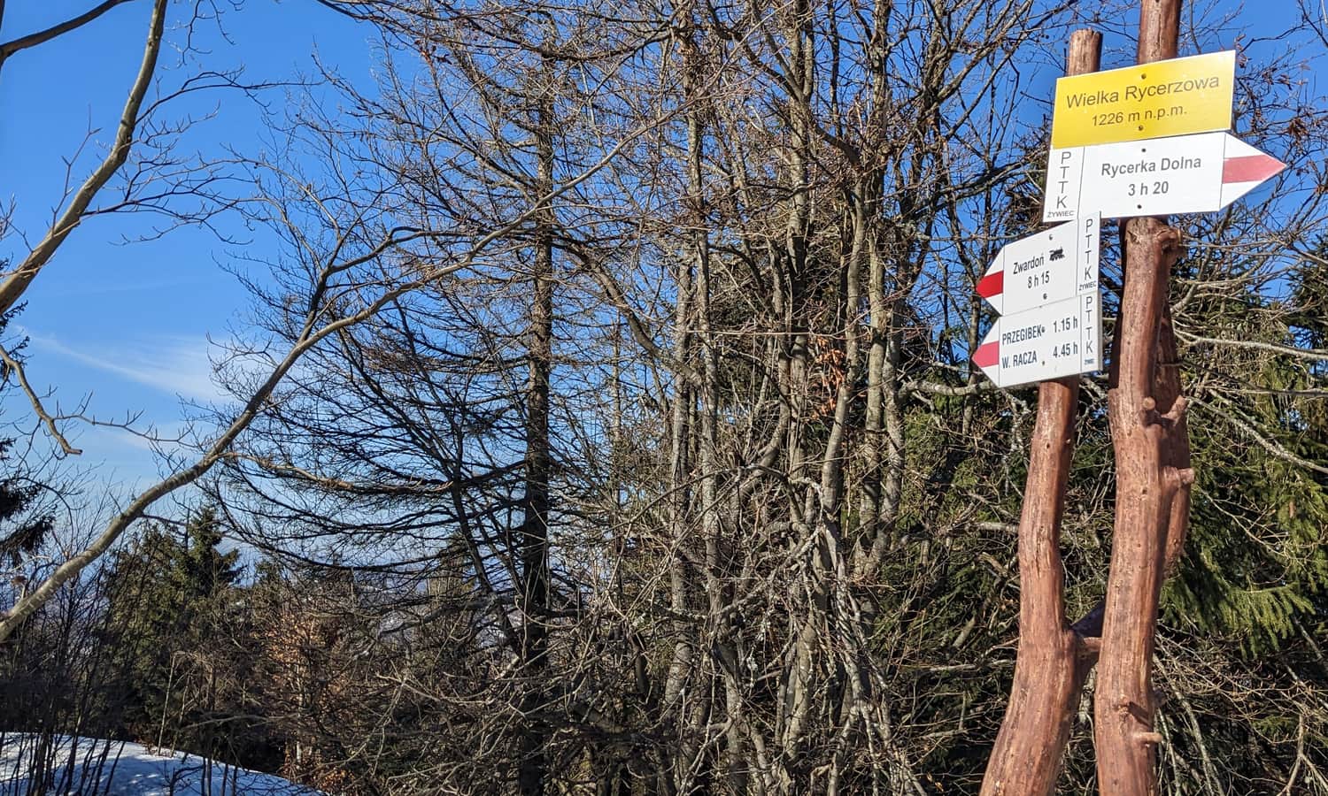
Wielka Rycerzowa, 1226 m above sea level
About 15 min. climb with red signs and we are already on the second highest peak of the part of the Żywiecki Beskids, called Worek Raczański (the highest is of course Wielka Racza, 1236 m above sea level).
Although the peak itself is forested, a wide panorama also unfolds from under the forest border.
...and back
The return to Ujsoły by the same trail will take us about 3 hours. Faster (in about 1:15 min.) you can descend the yellow trail from Bacówka PTTK on Rycerzowa to Soblówka, and then try to catch a bus from there, or walk about 6 km along the asphalt to the trail entrance.
You can read more about Bacówka PTTK on Rycerzowa and the views from the peaks of Wielka and Mała Rycerzowa here:
PTTK Bacówka on Rycerzowa: all trails to Wielka and Mała Rycerzowa
PTTK Bacówka on Rycerzowa is a popular hiking destination in the Żywiecki Beskids. The shelter is located near the Halna Pass, close to Wielka and Mała Rycerzowa (1226 and 1207 m above sea level) and offers stunning panoramic views of the Tatra Mountains, Beskids, and the Slovakian Wielka and Mała Fatra. ...

Publish Date:
Last Updated: