Lackowa from Wysowa Zdrój: trail via Ostry Wierch
Nearby: Gorlice| Distance | 8.1km |
|---|---|
| Time | 3h 39min |
| Ascents | 656m |
| Descents | 187m |
Elevation Profile:

beach_access Route in the shade
directions_car Access by car
directions_bus Can be reached by bus
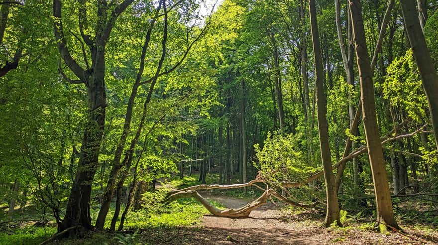
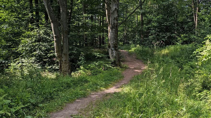
The trail from Wysowa Zdrój to Lackowa is quite challenging with several steep ascents and descents. The reward for your effort is the satisfaction of conquering the highest Polish peak of the Low Beskid, known for its steepness. The trail mostly leads through the forest, but we'll tell you where to look for scenic clearings!
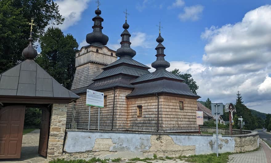
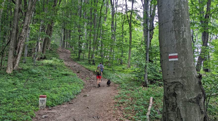
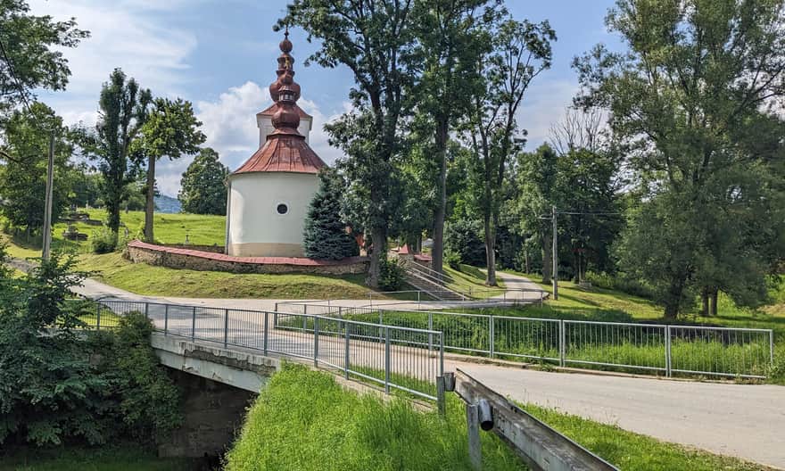
Start of the trail to Lackowa in Wysowa Zdrój
The trail starts at the wooden church and the tourist information point (there is a parking lot for a few cars).
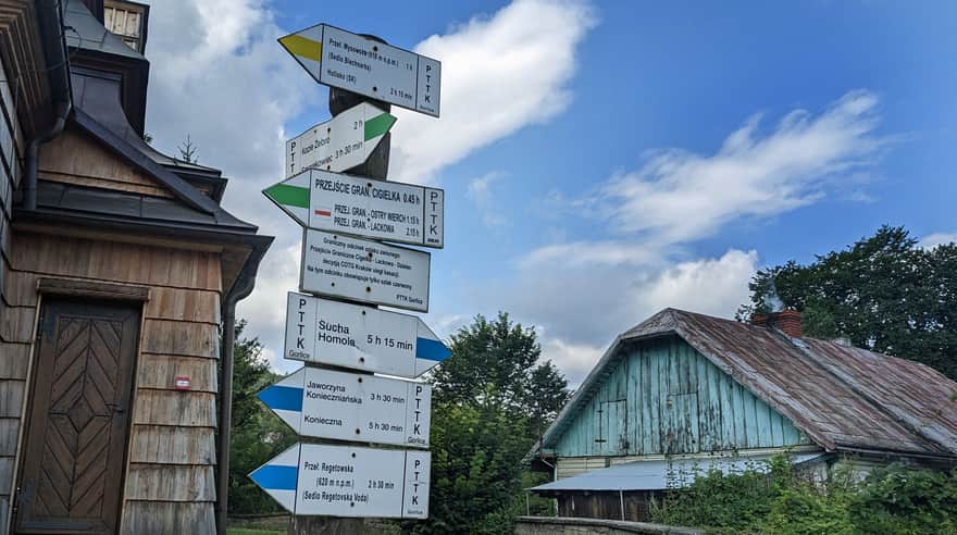
Initially, we walk together with the green trail, leading to Cigelka Pass. A wide road takes us through picturesque fields and meadows.
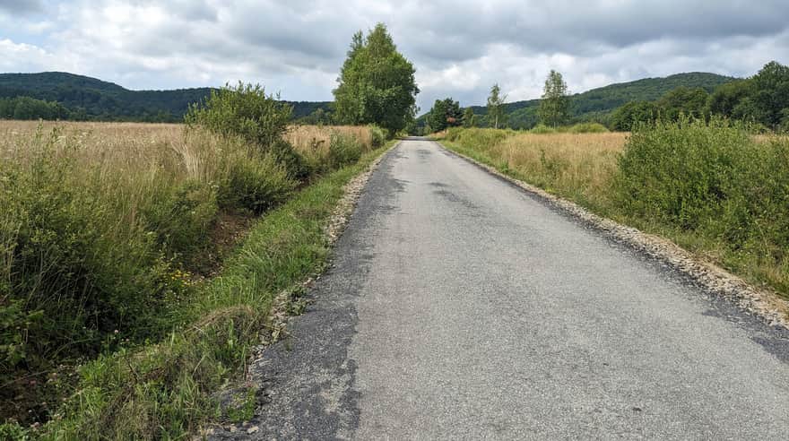
After about 20 minutes of walking on asphalt and turning off the road to Holy Mountain Jawor we enter the forest and continue to ascend quite gently to the border pass Cigelka.
Cigelka Pass - red trail to Lackowa
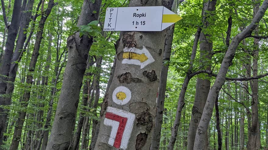
After less than an hour from entering the green trail in Wysowa, we reach the border pass Cigelka.
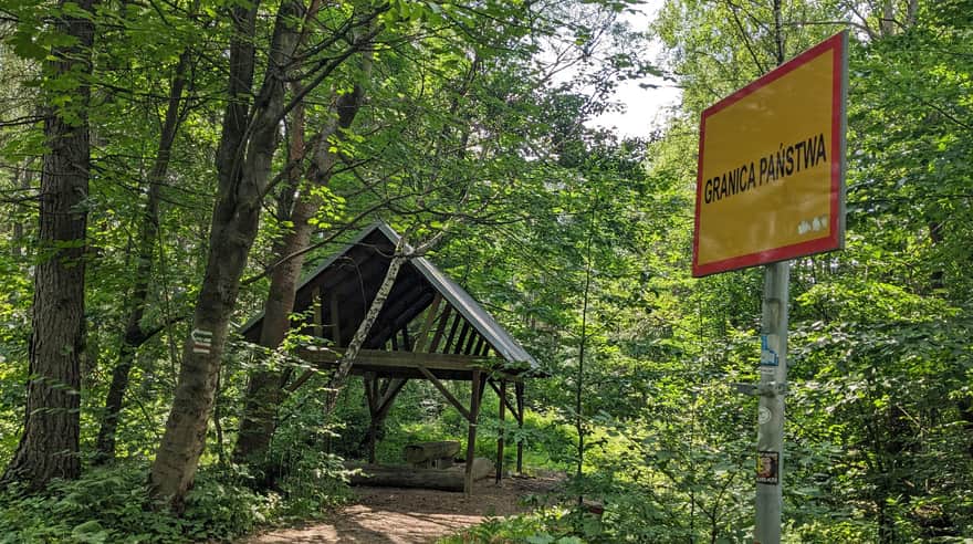
Green signs descend from here to the Slovak village of the same name, while we turn right, following the border, red trail.
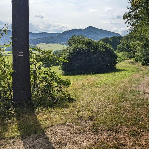
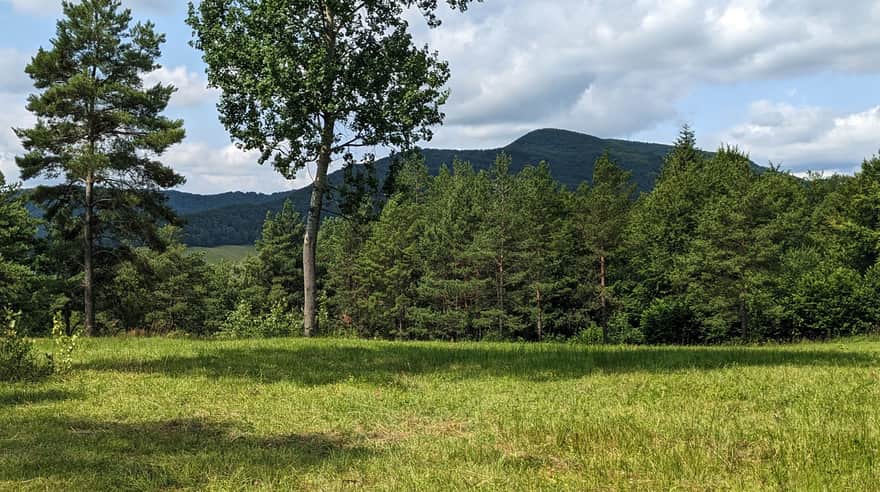
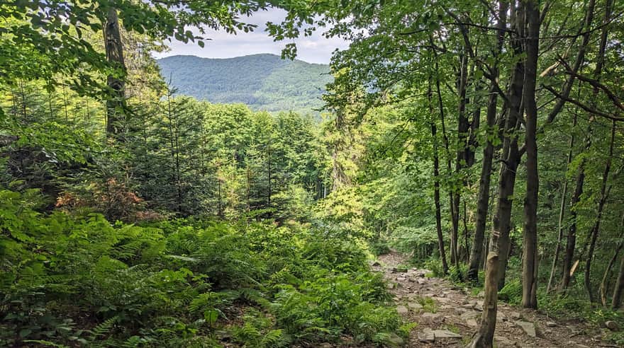
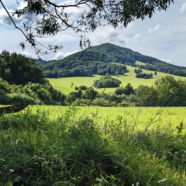
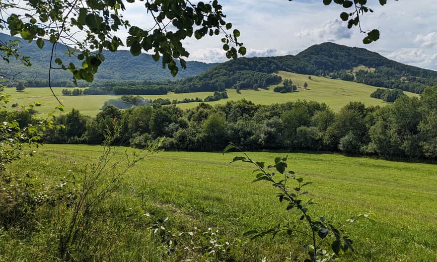
Just past the pass, we cross the edge of a small clearing, from which we can admire the goal of our hike: the green massif of Lakckowa with its characteristic summit dome. Can you already see where those famous steep slopes are waiting for us?
After the clearing, the uphill road finally begins! Fortunately, in a pleasant, forest shade. The first peak we conquer will be Cegiełka - 805 m above sea level.
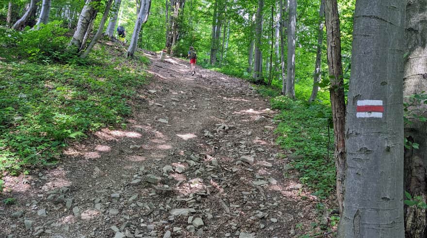
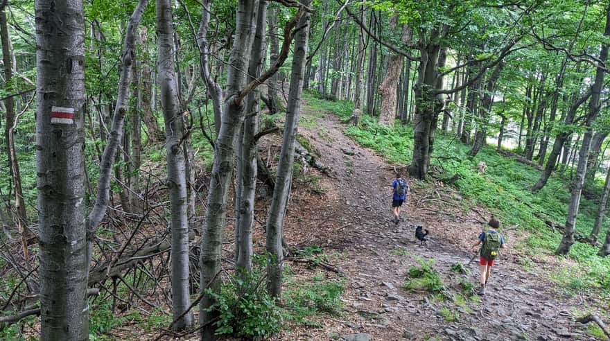
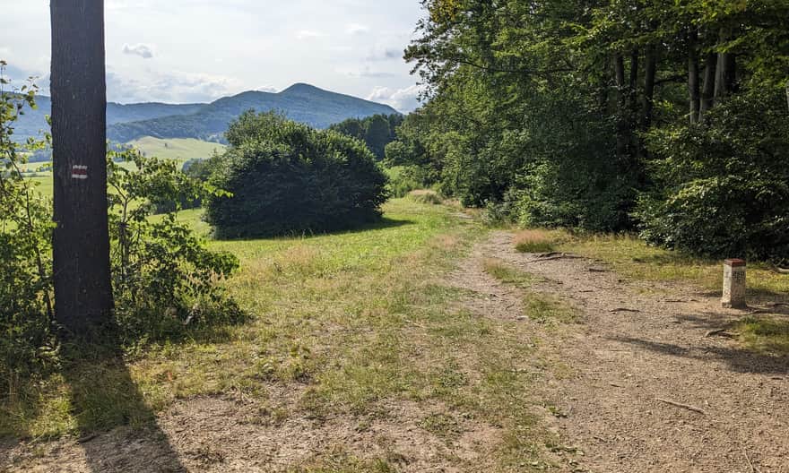
Soon the route will flatten out for us and for quite a long time (over 2 km) it will lead along a comfortable ridge, up to Ostry Wierch and the junction of the yellow trail from Ropek.
Ostry Wierch - Pułaski Pass
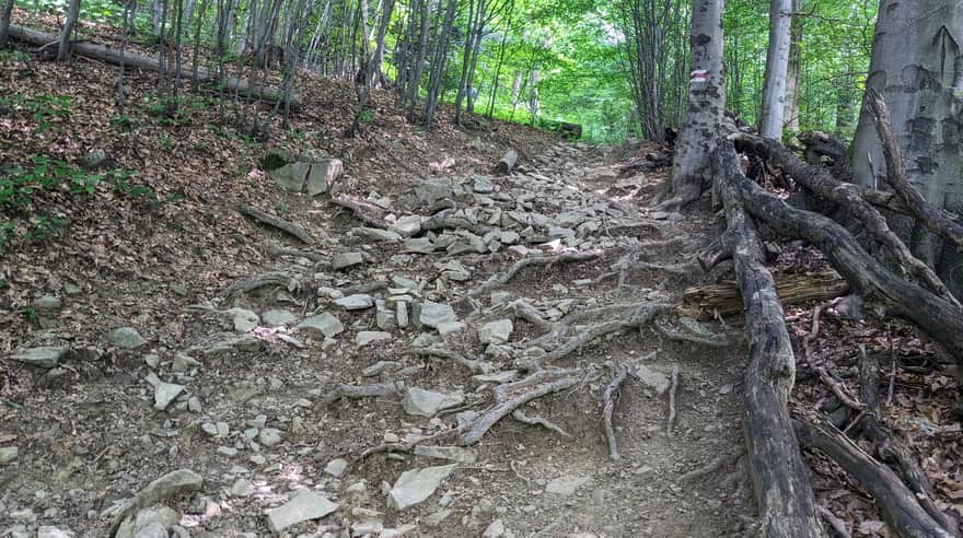
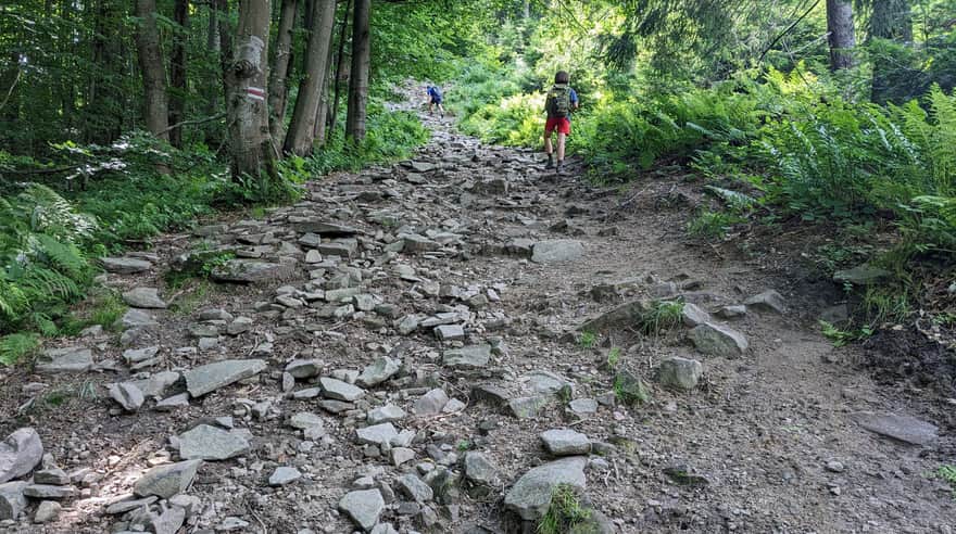
After Ostry Wierch, a steep road down awaits us... The descent is really steep and full of loose stones!
We lose almost 150 m in altitude here and descend to Pułaski Pass:
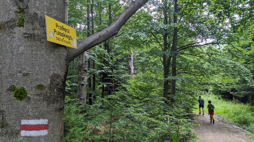
A moment of rest and for a change we start climbing the steep northern slopes of Lackowa. We have to overcome about 250 m of altitude difference.
In moments of catching your breath, look back: in the "window" you will see the ridge of Ostry Wierch, from which we have just descended:
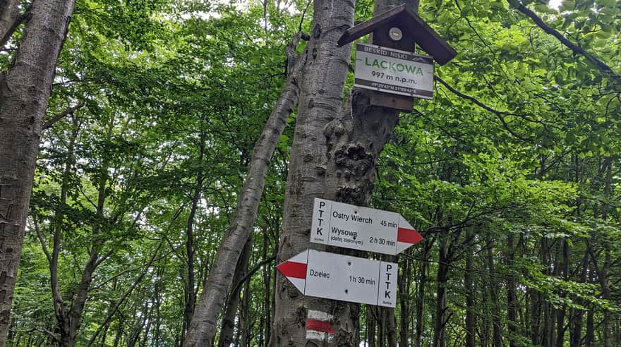
Lackowa, 997 m above sea level
At the end of the adventure of conquering the highest Polish peak of the Low Beskid, a pleasant walk along the ridge of Lackowa awaits us, after a few minutes we will reach the forested summit. Apart from a sign and a stamp, you will find a few benches, a flag... and basically nothing more.
More about Lackowa, including interesting facts about the peak and descriptions of other trails can be found in this article:
Lackowa - trails to the highest Polish peak of the Low Beskids
Lackowa (997 m above sea level) is the highest Polish peak of the Low Beskids, famous for its steep slopes. It belongs to the Crown of Polish Beskids and the Crown of Polish Mountains. Even though there is only one red, border trail passing through Lackowa, we have several routes to the summit to choose from. ...
Return from Lackowa to Wysowa Zdrój
You can return to Wysowa the same way - the return journey will take you about 2.5 hours (apart from the steep descent from Lackowa, a steep ascent to Ostry Wierch also awaits you).
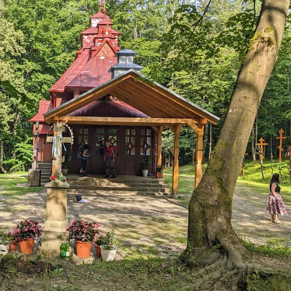
To diversify your return, we suggest "dropping by" a very atmospheric place: the chapel on Holy Mountain Jawor. For this purpose, instead of turning onto the green trail at Cigelka Pass, continue straight following the red signs.
Soon you will come out to a scenic clearing (behind you, you will see Lackowa!),
From here, turn left onto a wide forest road (about 700 m from Cigelka Pass). Unfortunately, there is no signpost here... But a little further on the trees is a sign of a horse trail - a green circle on a white background.
About 10 minutes after turning off the red trail, you will reach the chapel, and from there you will return to Wysowa by asphalt road. Here is a description of this route in the opposite direction: Wysowa - Góra Jawor:
Easy
From Wysowa to Jawor Mountain and to the viewpoint
Views on the trail to Lackowa?
Did you miss the views on the way to Lackowa? Nothing is lost! On the way back, descend from Cigelka Pass on the green trail to the Slovak side.
As soon as you leave the forest, you will be charmed by the view of the green sea of the Slovak Low Beskid! (you can see the exact location of the photos on the map in the header of the article).
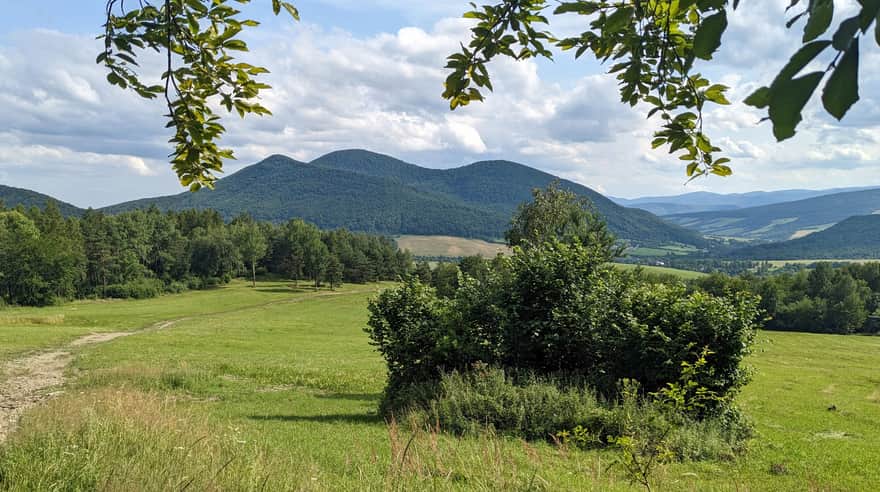
From here you will see the "real king" - the highest peak of the Low Beskid: Busov 1002 m above sea level (the one with 3 peaks), and if you go even lower, you will also see "our" Lackowa from an unusual, eastern side:
And here is a 180-degree panorama from the meadows at Cigelka: Busov and Lackowa in one frame:
Cigelka
We liked it so much here that we descended these beautiful meadows all the way to Cigelka itself (about 2 km, 30 min).
The village is tiny, but in one of the houses there is a small grocery store, there is also a publicly accessible spring of mineral water.


Publish Date: 2023-09-02
More in the Region Beskid Niski (Mountain range of the Low Beskids (Beskid Niski))
Total Length 87 km