
Lackowa - trails to the highest Polish peak of the Low Beskids
Lackowa (997 m above sea level) is the highest Polish peak of the Low Beskids, famous for its steep slopes. It belongs to the Crown of Polish Beskids and the Crown of Polish Mountains. Even though there is only one red border trail passing through Lackowa, we have several routes to the summit to choose from.
Lackowa, 997 m above sea level - facts and trivia
There are many different stories about Lackowa, as usual, containing both a lot of truth and a bit of myth and exaggeration...
Steep slopes, difficult ascents and the 'wall of tears' on Lackowa
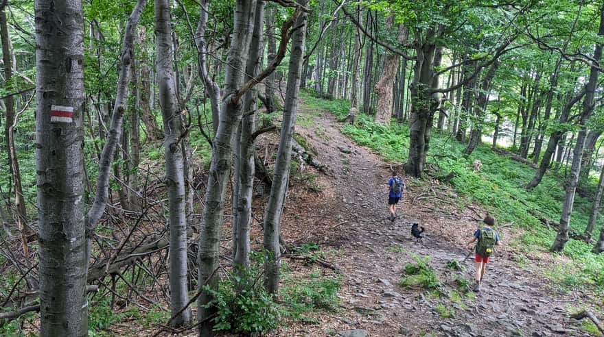
Steep slopes and extremely difficult ascents to the summit of Lackowa, affectionately called "difficulties", are usually the first things that come to mind when we think of the highest Polish peak of the Low Beskids.
Indeed, it won't be easy here... Especially if the loose stones on the steep ascents are wet or icy. Then descending will be even more difficult than climbing. However, if you have the right footwear, you will surely manage!
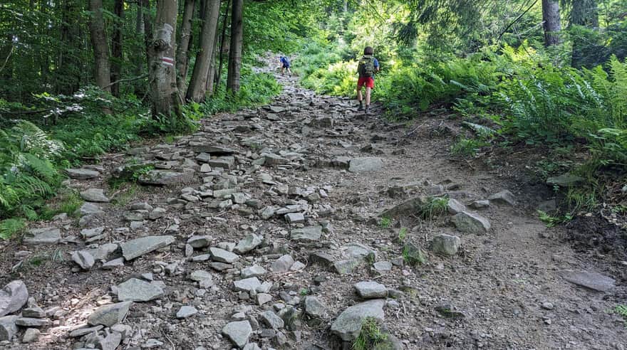
Ps. Both ascents: from the east and west are steep, but the one from the Beskid Pass (routes from Tylicz, Krynica and Izby), i.e. the western slope of Lackowa is considered the steepest marked trail in the Polish mountains (except for the Tatras).
Lackowa - Police Mountain
Do police patrols visit Lackowa particularly often, just like witches visit Babia and Łysa Mountain? We don't know anything about it... However, the very height of the peak: 997 m is associated by many with the police phone number.
Lackowa - Pułaski's Flag
Why is Lackowa called "Pułaski's Flag"? The surrounding forests belonged to the territories occupied by the Bar Confederates, and Lackowa itself was fortified and served as... an observation point! In those times, i.e. in the second half of the 18th century, the summit of Lackowa was not forested and was also perfectly suitable for sending signals (e.g. using a flag) to the units stationed nearby.
Views from Lackowa?
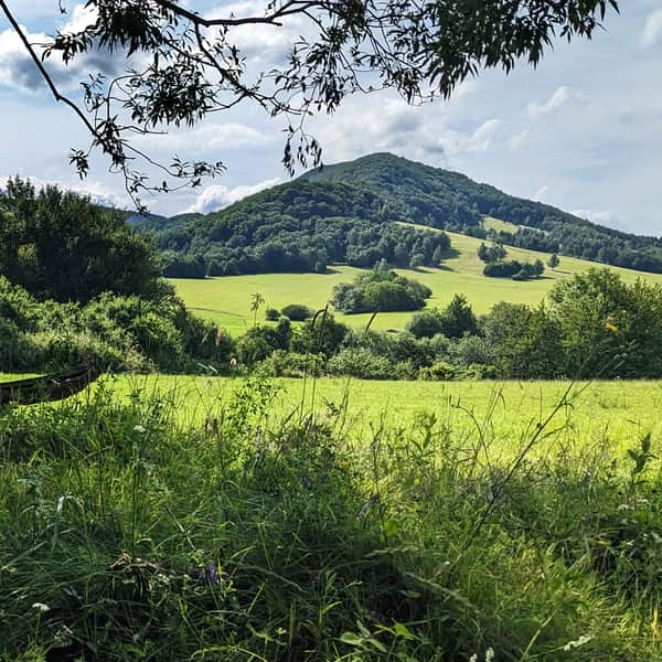
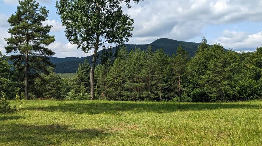
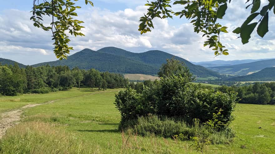
It is definitely easier to write about views "to Lackowa", which is a characteristic massif easily recognizable from the surrounding peaks, than about views "from Lackowa".
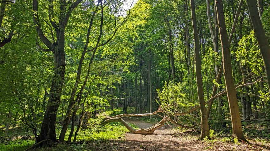
Unfortunately, since the times of the Confederates, the summit and slopes of Lackowa have been completely overgrown with forest, but can't the forest itself be picturesque?
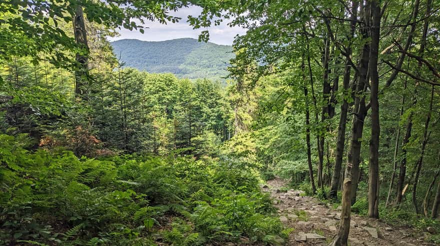
To console ourselves, we can look for just a few small "windows" and dream about what we would see if... Apparently, from Lackowa you would be able to see even the Świętokrzyskie Mountains, Bieszczady, Sądecki and Wyspowy Beskids, Gorce, High and Low Tatras.
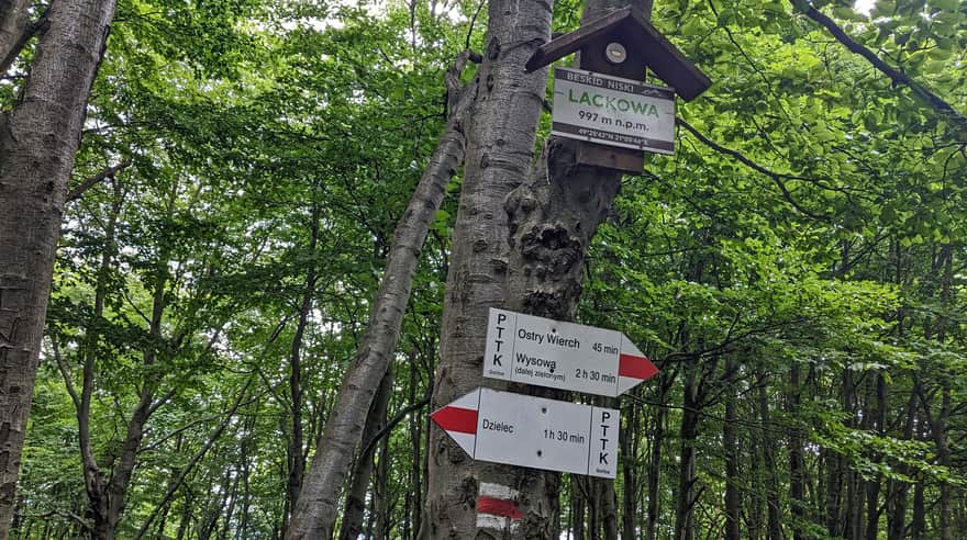
How to get to Lackowa?
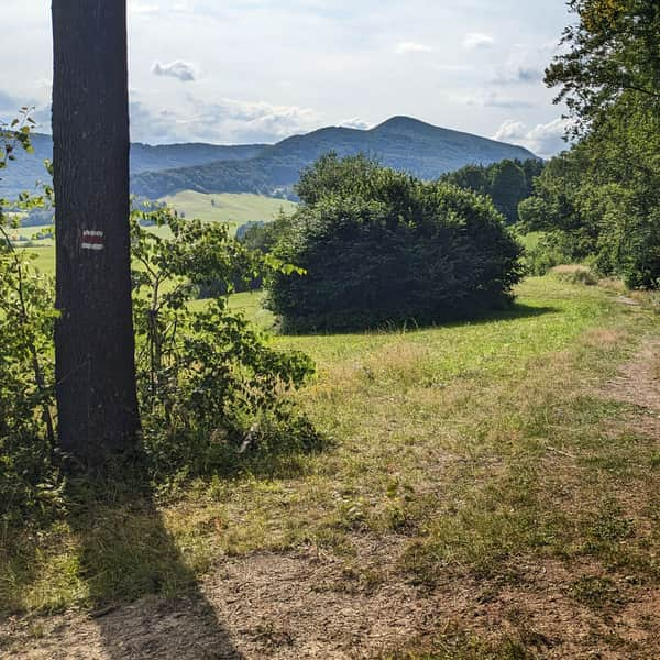
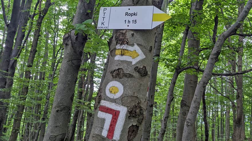
Several marked (and unmarked) trails from the surrounding towns lead to the red trail crossing the summit of Lackowa. When choosing the way to Lackowa, remember that from the east (i.e. from Ropki and Wysowa) it will be a bit easier, and from the side of Izby, Tylicz, Krynica, i.e. on the trails from the north and west, we will encounter the famous "wall of tears".
The shortest and fastest route to Lackowa from Izby
We will conquer the summit of Lackowa fastest from Izby. Izby is a tiny town "at the end of the world". You can get here from Grybów through Florynka, or from Uście Gorlickie. You can leave your car on the roadside at the end of the asphalt. You can reach the Beskid Pass on the red trail from here via a wide road - although without a PTTK trail, it is marked with arrows.
Then the red signs lead us to the left: straight to the "wall of tears" and the summit of Lackowa. The whole route is less than 4 km, 400 m of elevation gain, to be covered in about 1.5 hours one way.
To Lackowa from Wysowa Zdrój
The route to Lackowa from Wysowa Zdrój is neither the shortest nor the easiest - although we bypass the "wall of tears", it will also be steep.
On the way, we can visit a charming place: the chapel on Holy Mountain Jawor and the beautiful scenic meadows above Cigelka, from where we will see the highest peak of the entire Low Beskids, the Slovak Busov, 1002 m above sea level (only 5 m higher than "our" Lackowa).
Medium
Lackowa from Wysowa Zdrój: trail via Ostry Wierch

Other trails to Lackowa
Other routes to Lackowa include:
- Mrokowce near Tylicz - green trail to Dzielec and further red (less than 7 km, 555 m of elevation gain, about 3.5 hours one way)
- red trail from Tylicka Pass (12 km, 640 m of elevation gain, about 4 hours one way).
- Interesting loop to Lackowa from Ropki, i.e. route: Ropki - Perehyba Pass - Church in Bieliczna - Izby - Beskid Pass - Lackowa - Pułaski Pass - Ostry Wierch - Ropki (in total 20 km, 900 m of elevation gain, about 7 hours)

Publish Date:
Last Updated: