Hala Łabowska - Czarci Wierch - Jaworzyna Kokuszczańska - Mountain Hut Cyrla
Nearby: Nowy Sącz| Distance | 8.7km |
|---|---|
| Time | 2h 51min |
| Ascents | 275m |
| Descents | 471m |
beach_access Route in the shade
restaurant Restaurant or bar nearby
wc Toilet along the route
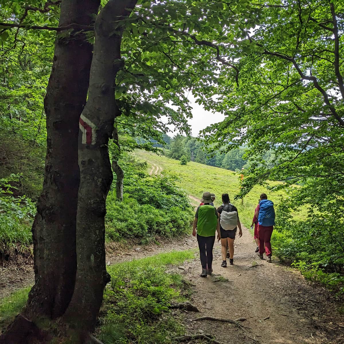
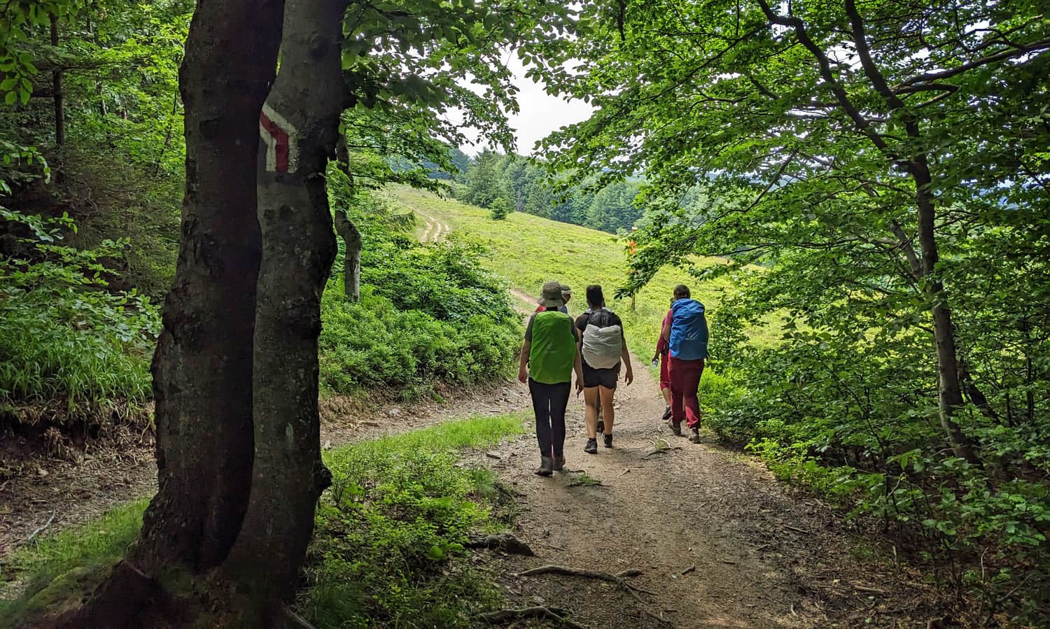
The trail along the ridge of the Jaworzyna Krynicka range, between the shelter at Hala Łabowska and the Mountain Hut Cyrla, passing through Czarci Wierch, Hala Pisańa, and Jaworzyna Kokuszczańska, is an easy and scenic route: perfect for a family hike!
Jaworzyna Krynicka Range - Ridge Trail
The main ridge of the Jaworzyna Krynicka range, from Makowica (948 m above sea level) in the northwest to Jaworzyna Krynicka (1114 m above sea level) in the southeast, is about 20 km long. Although it is mostly forested, there are several picturesque and scenic clearings. The red trail (Main Beskid Trail) runs along the ridge.
Right in the middle of the ridge is the PTTK shelter at Hala Łabowska - an excellent starting point for further hikes in the Jaworzyna Krynicka range:
Hala Łabowska - Shelter, Trails, Views, and Fun Facts
The PTTK Shelter on Hala Łabowska is a beautiful place in the middle of the Jaworzyna Krynicka range. Hala Łabowska is a beautiful scenic meadow, and the shelter serves as a resting place on a mountain trail and a starting point for many nearby hiking trails. ...
From Hala Łabowska to Mountain Hut Cyrla
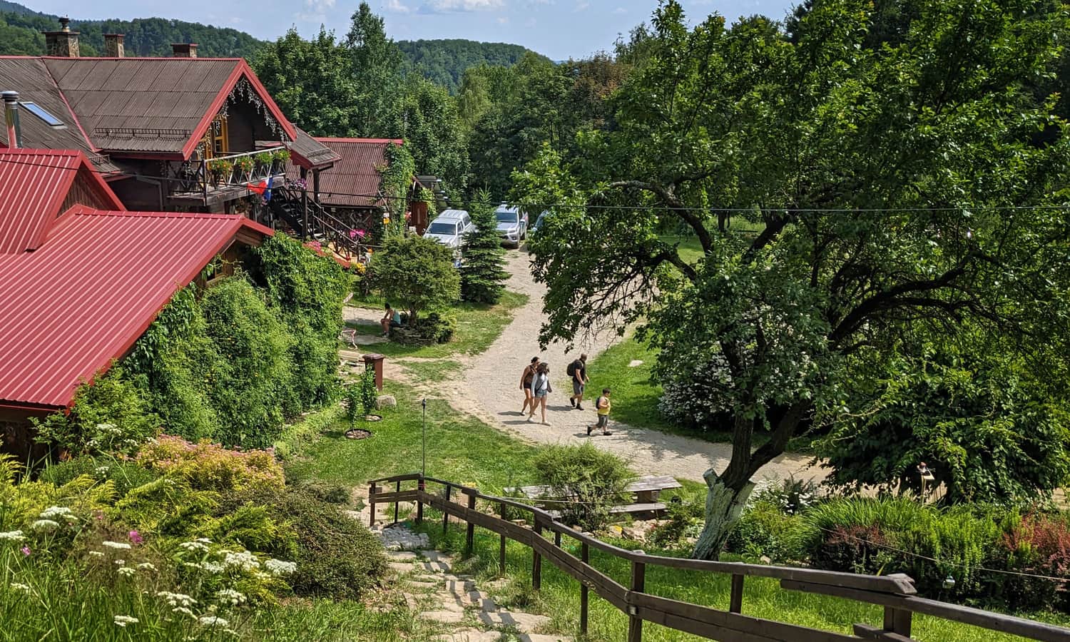
From the PTTK shelter at Hala Łabowska, we can reach the Mountain Hut Cyrla - a private tourist base founded and run by the former hosts of the shelter at Hala Łabowska - via the red trail.
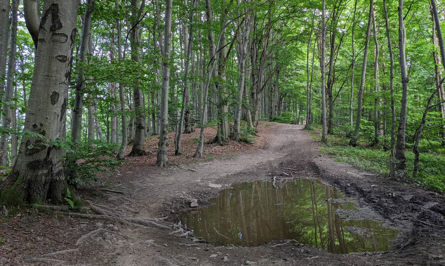
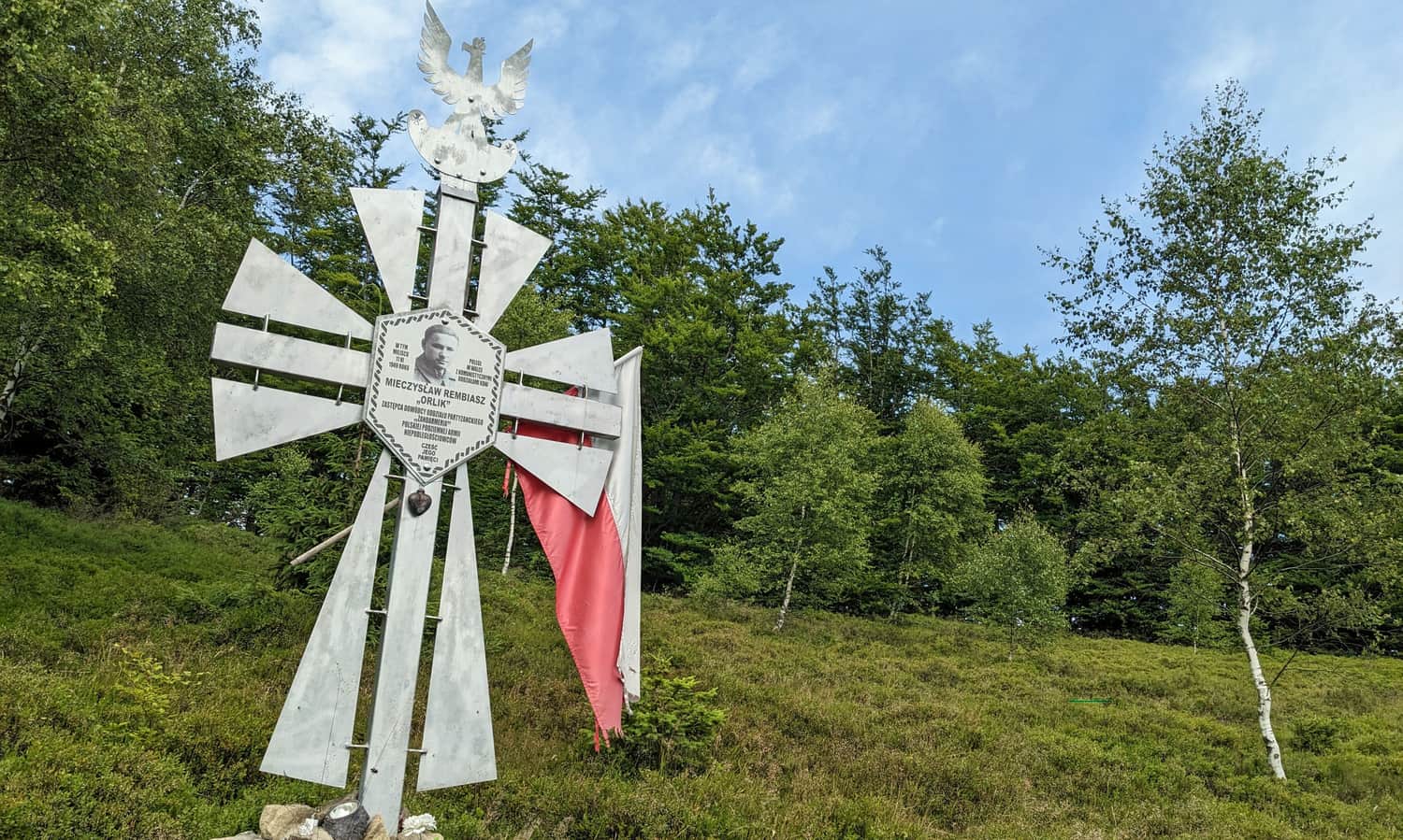
The distance to cover is just under 9 km, as is typical for a ridge trail: sometimes slightly uphill, sometimes downhill, and occasionally flat. Along the way, we will encounter several interesting places: Czarci Kamień, scenic meadows at Hala Średnia, Pisańa, and below Jaworzyna Kokuszczańska, as well as several chapels and partisan crosses.
Czarci Wierch and Czarci Kamień
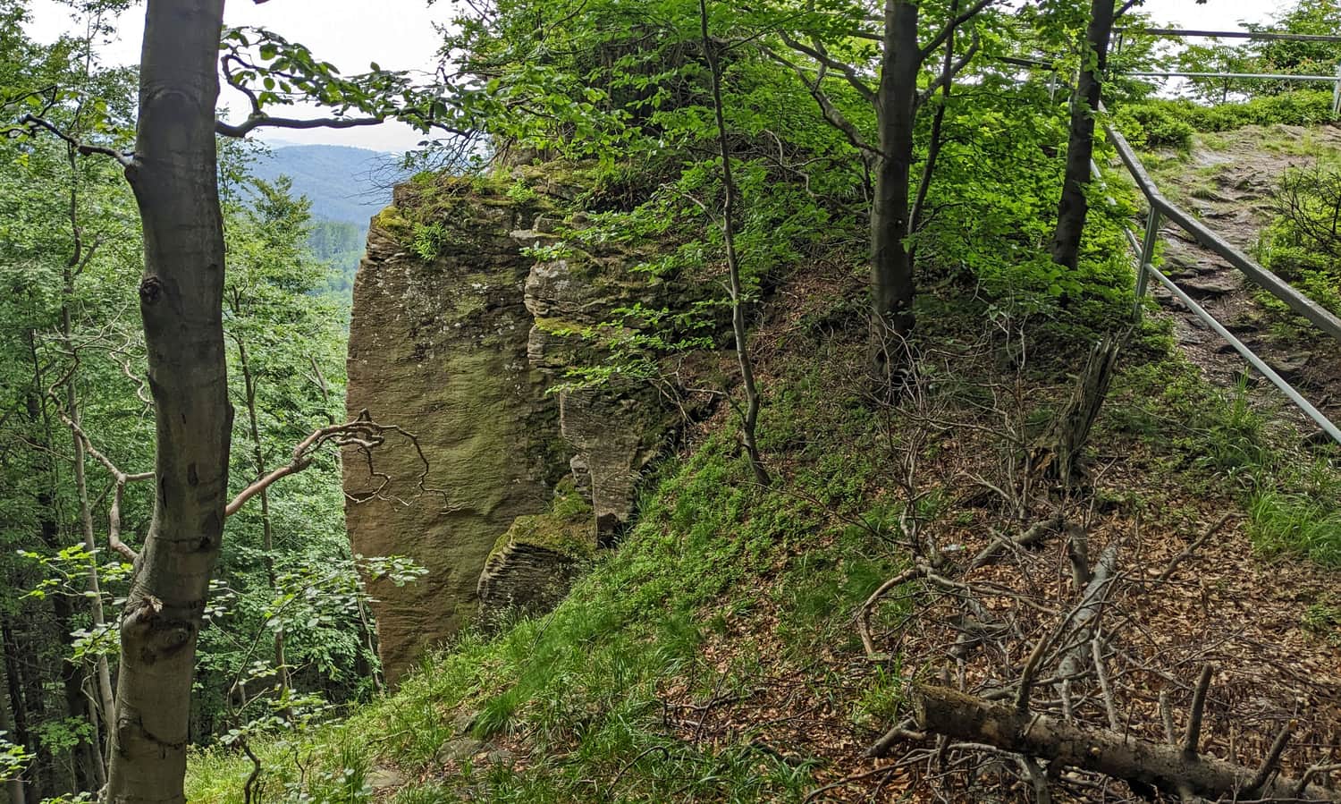
Just half an hour from Hala Łabowska is Czarci Wierch (1091 m above sea level). Although the red trail bypasses this forested peak, it is worth deviating from the trail following the white-green markers.
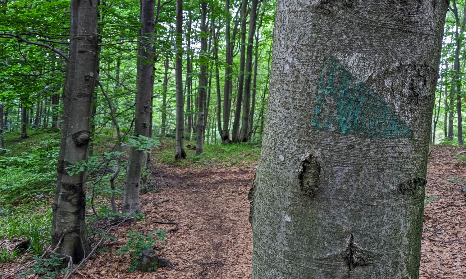
After about 15-20 minutes, they will lead us to a rock outcrop with a view to the north:
Wierch nad Kamieniem - Hala Średnia - Hala Pisana
After leaving the green nature trail, we return to the red trail, pass the forested summit of Wierch nad Kamieniem (1084 m above sea level). On the northern slopes of this peak, there are several inaccessible cave landslides.
Just after the summit, we reach Hala Średnia (Barnowiecka), with a (unfortunately overgrown) view to the north.
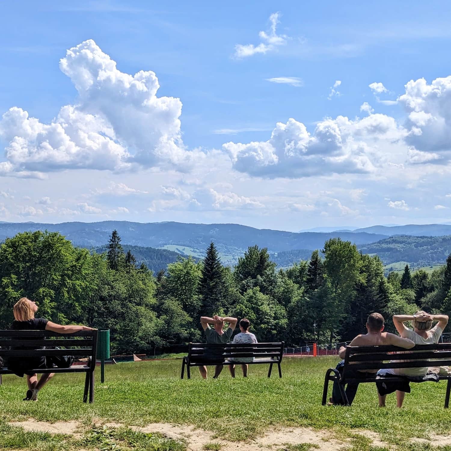
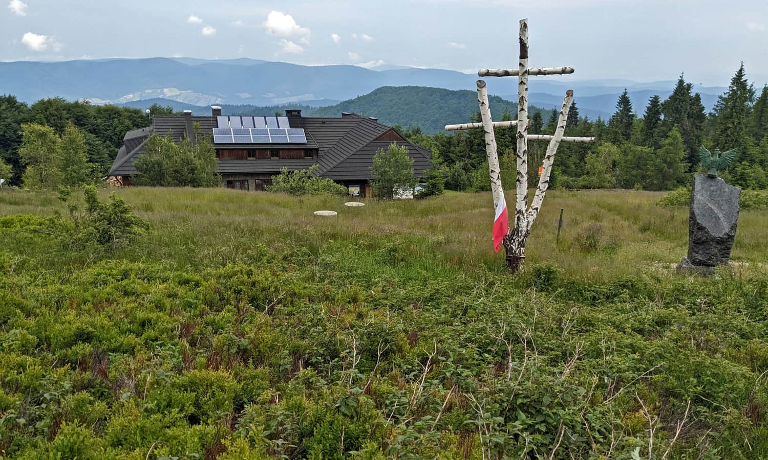
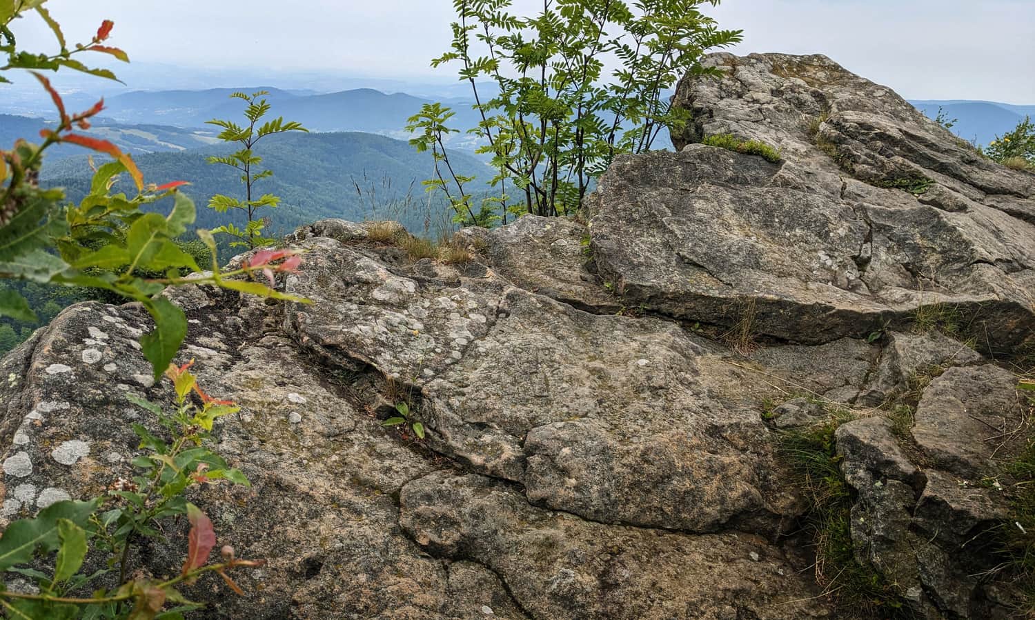
After about half an hour, we will reach Hala Pisana (1044 m above sea level), a viewpoint to the southwest, with a partisan cross.

Another half an hour of walking... and another clearing!
Jaworzyna Kokuszczańska - viewpoint
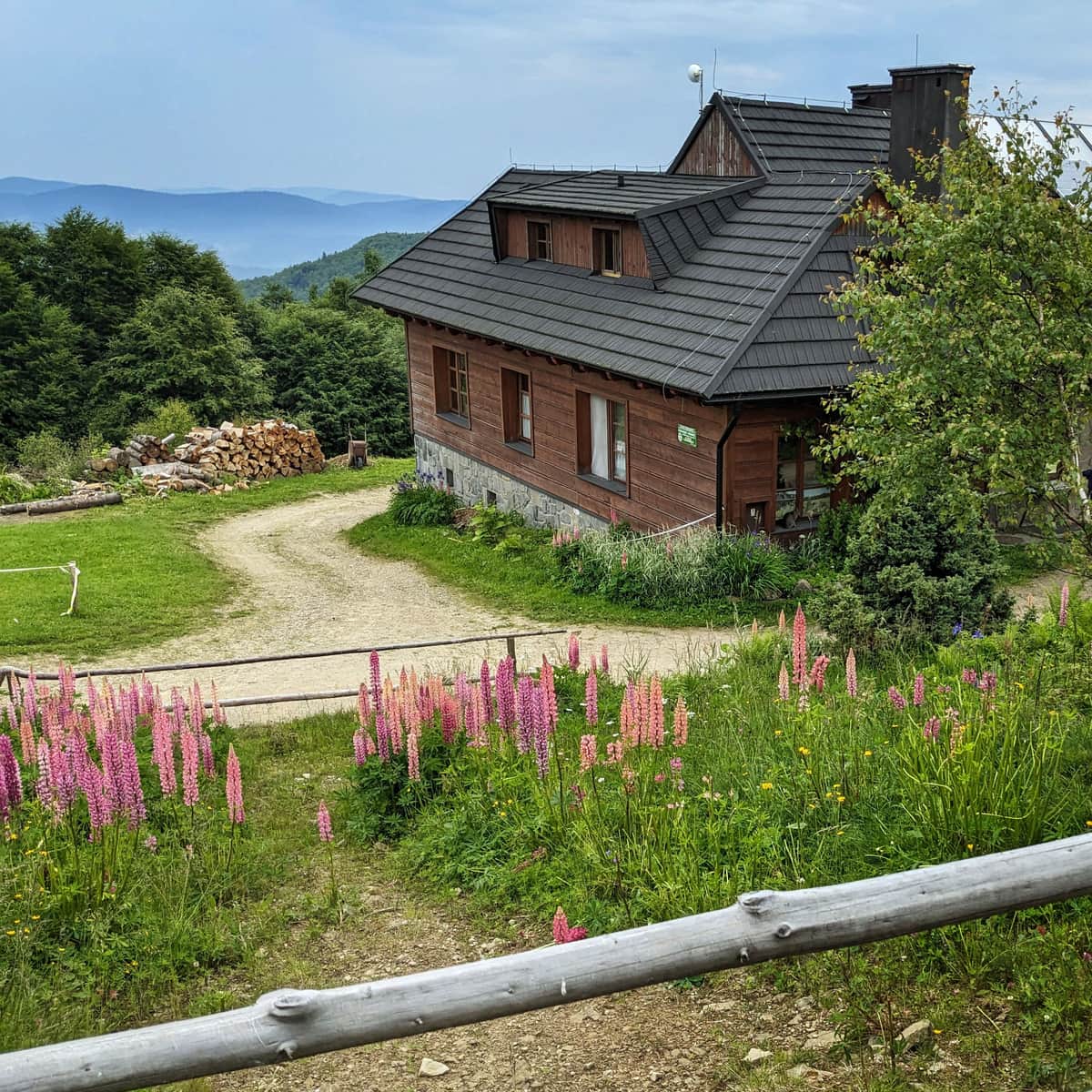
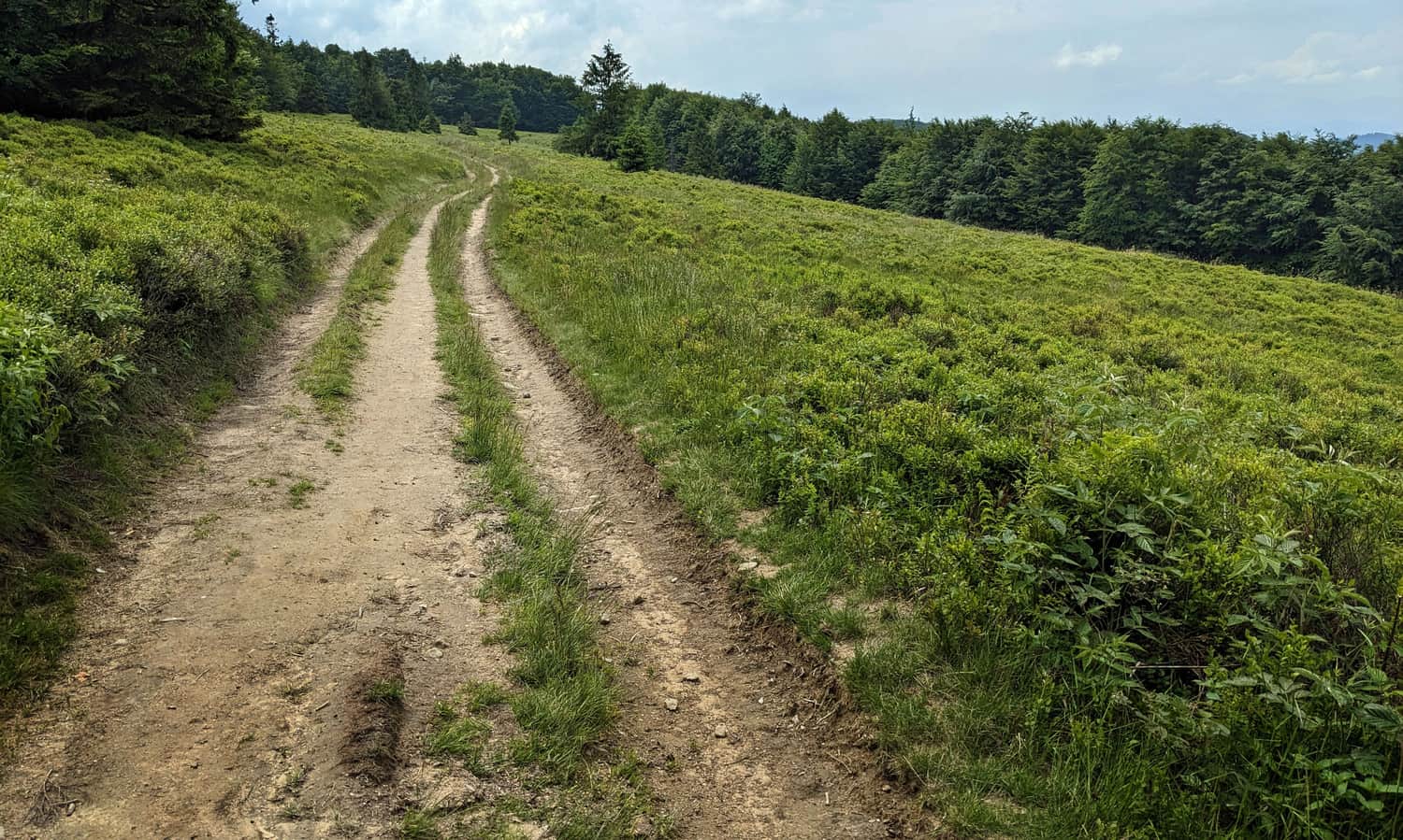
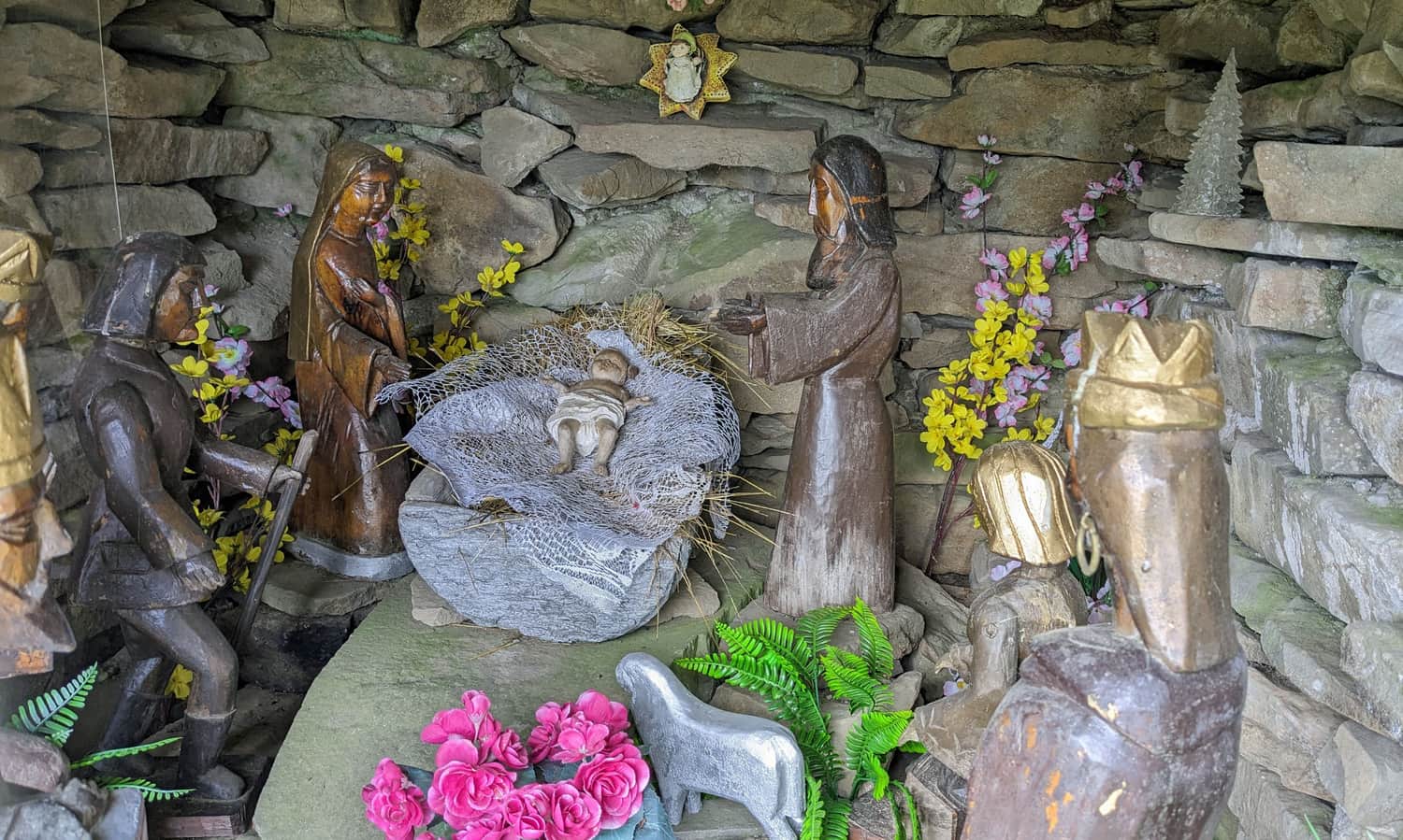
On the vast meadows below the summit of Jaworzyna Kokuszczańska (969 m above sea level), there are several attractions waiting for us. Firstly, an interesting chapel with a Nativity scene:
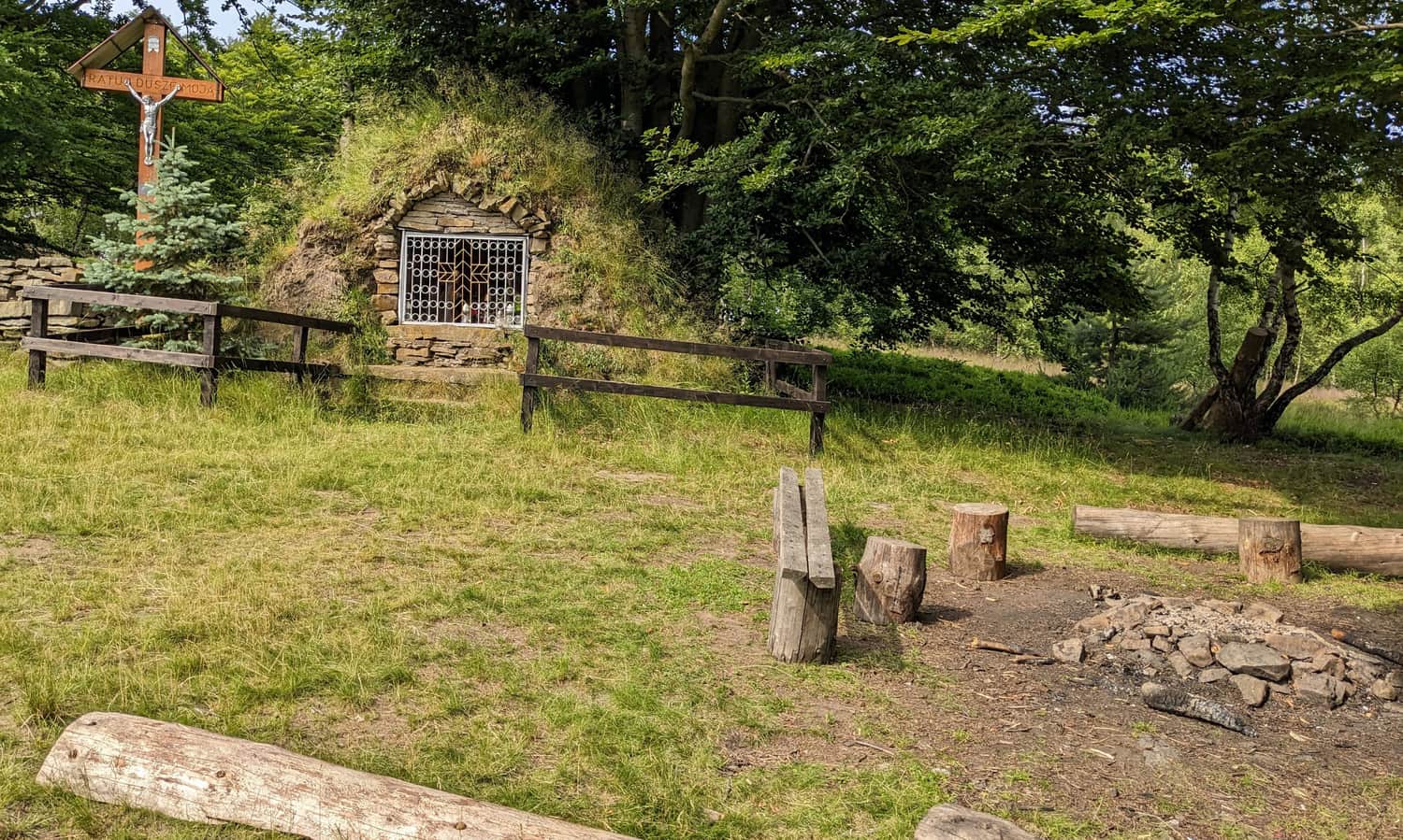
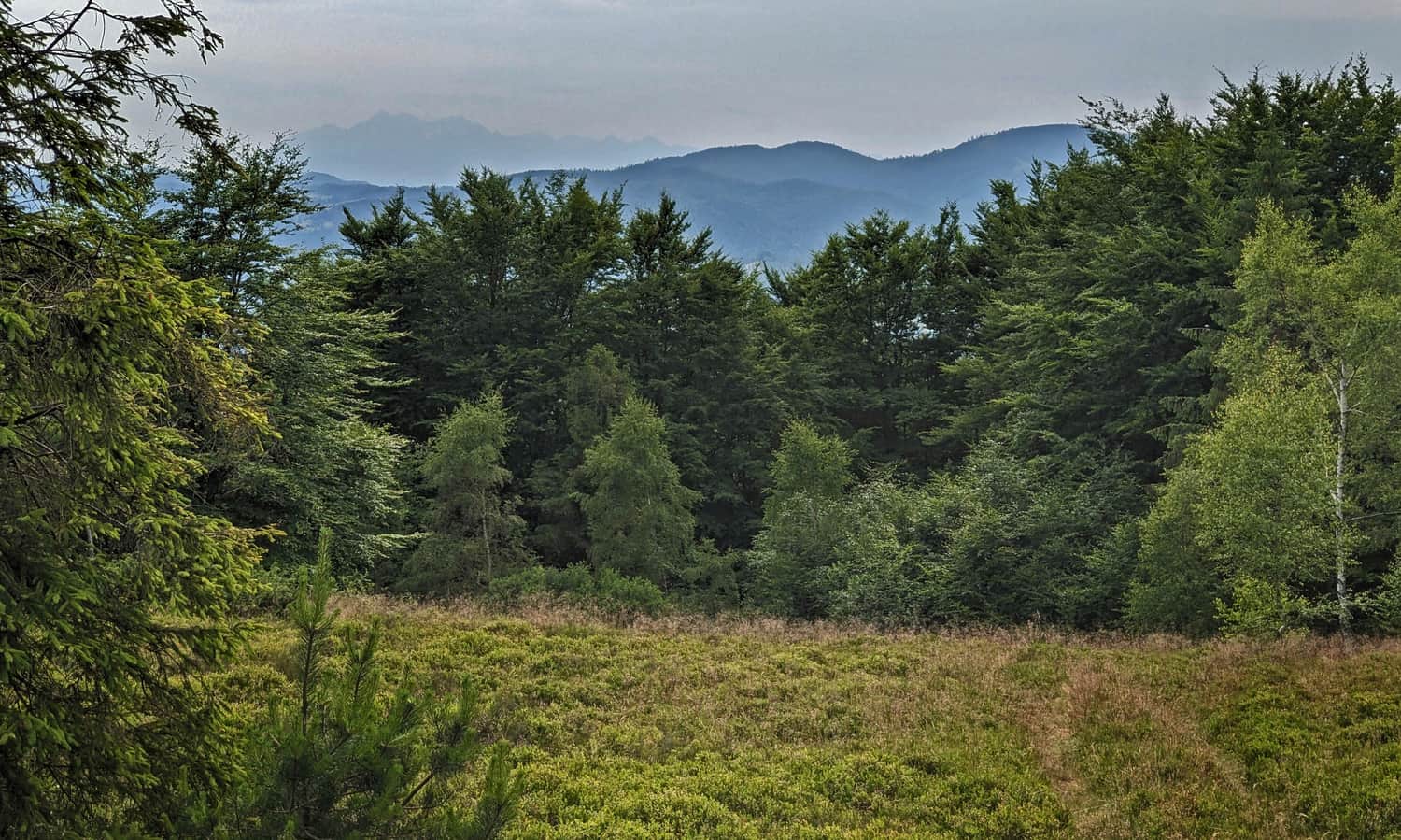
Secondly, on a clear day, a breathtaking panorama to the southwest. If we climb to the top of the meadow, to the partisan cross in the further part of the clearing, we can see not only the Radziejowa Range but also the sharp peaks of the Tatra Mountains.
...and in the summer season: vast blueberry fields!
Mountain Hut Cyrla
We continue along the red trail, pass the rocks at the top of Zadnie Skały. Just before the summit of Makowica (which is reached by the blue trail), our red markers turn left, downhill.
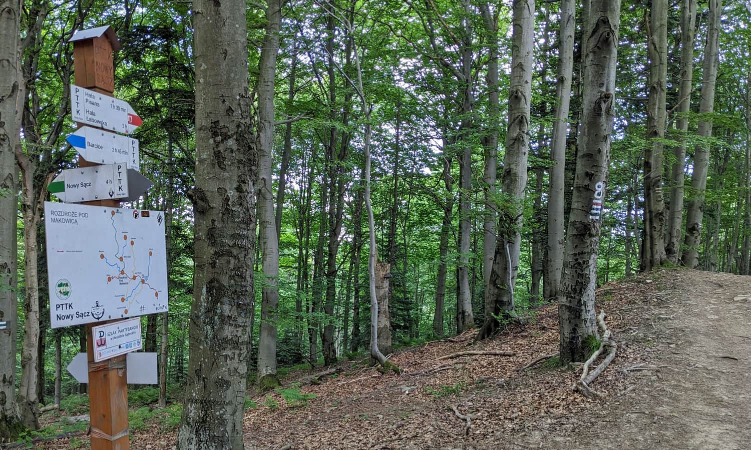
After about 15 minutes and passing a small scenic clearing, we will reach our destination: the Cyrla mountain hut. Here, homemade meals, souvenirs, and even a playground await us!
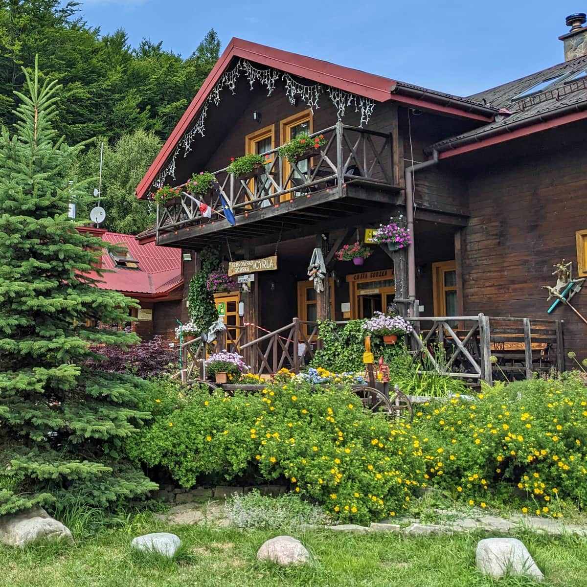
Mountain Hut Cyrla - Trails, Views, Attractions
Mountain Hut Cyrla near Rytro is located along the red trail: the main Beskid trail at the northwestern end of the Jaworzyna Krynicka Range. It offers a place to rest during hikes, delicious homemade meals, and accommodation options. ...