From Zawoja to Jałowiec, Czerniawa Sucha and Lachów Groń
| Distance | 8.3km |
|---|---|
| Time | 3h 43min |
| Ascents | 659m |
| Descents | 250m |
wb_sunny Route in the sun
directions_car Access by car
directions_bus Can be reached by bus
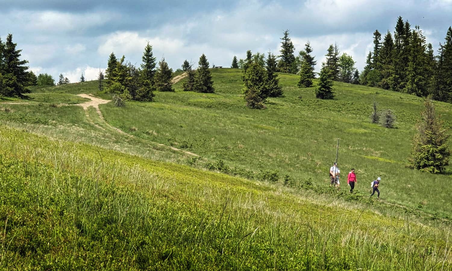
The trail from Zawoja-Wełcza to Lachów Groń is a very scenic route for a walk at the foot of Babia Góra, where you will conquer the 3 highest peaks of the Jałowiecki Range: Jałowiec (1111 m above sea level), Czerniawa Sucha (1052 m above sea level) and Lachów Groń (1045 m above sea level).
Zawoja Wełcza - Jałowiec
The first part of our journey is the blue trail from Zawoja - Wełcza to Jałowiec. The trail starts at the PTSM shelter, you can leave your car near the church or the shop.
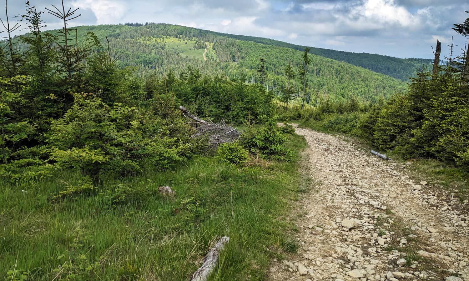
We first climb a narrow path, then a wide forest road. From the south, the majestic silhouette of Babia Góra appears, and just before the intersection with the yellow trail, the Polic Range also appears.
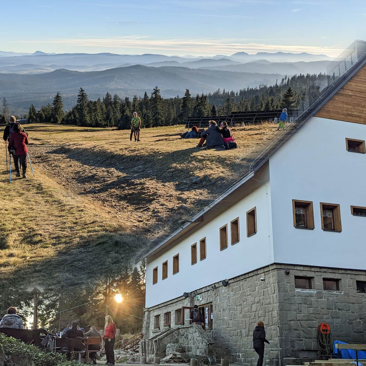
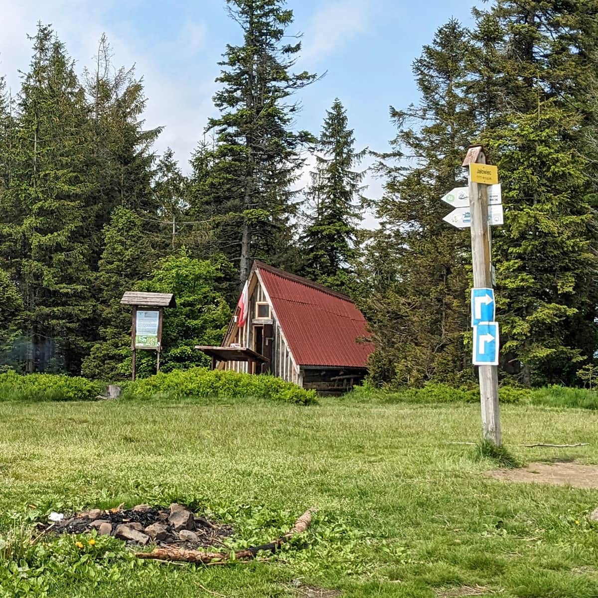
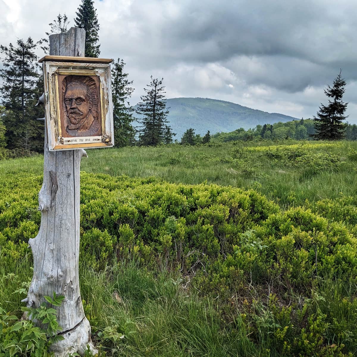
After nearly 2 hours of hiking (4 km, approx. 500 m ascent), we reach the highest peak of our route: Jałowiec (1111 m above sea level). Here we find a beautiful scenic meadow (with Pilsko in the main role), a shelter and a place for a bonfire.
More about Jałowiec:
Jałowiec - Trails and Loops
Jałowiec (1111 m above sea level) is a peak located on the border of the Silesian and Lesser Poland Voivodeships, belonging to the Żywiec Beskids (or Maków Beskids). ...
Jałowiec- Czerniawa Sucha
From Jałowiec, we descend to the south-west, down the Trzebuńska Glade yellow trail and after a moment of climbing (approx. 40 min. from the descent from Jałowiec), we reach the forested peak of Czerniawa Sucha (1052 m above sea level).
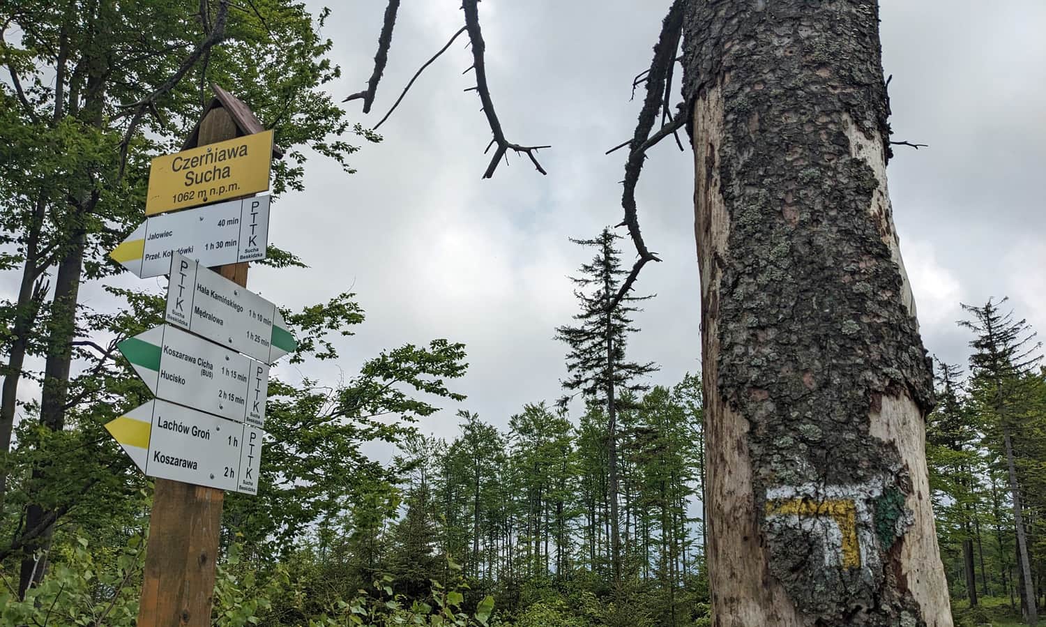
Czerniawa Sucha has as many as 3 peaks, if we want to see the view to the south we have to turn off for a moment on the green trail towards Hala Kamińskiego. Only on the southernmost peak, a scenic glade awaits us.
Czerniawa Sucha - Jałowiec
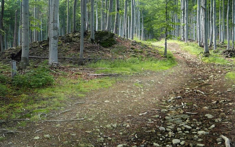
The last part of our route is a comfortable walk along a wide forest road.
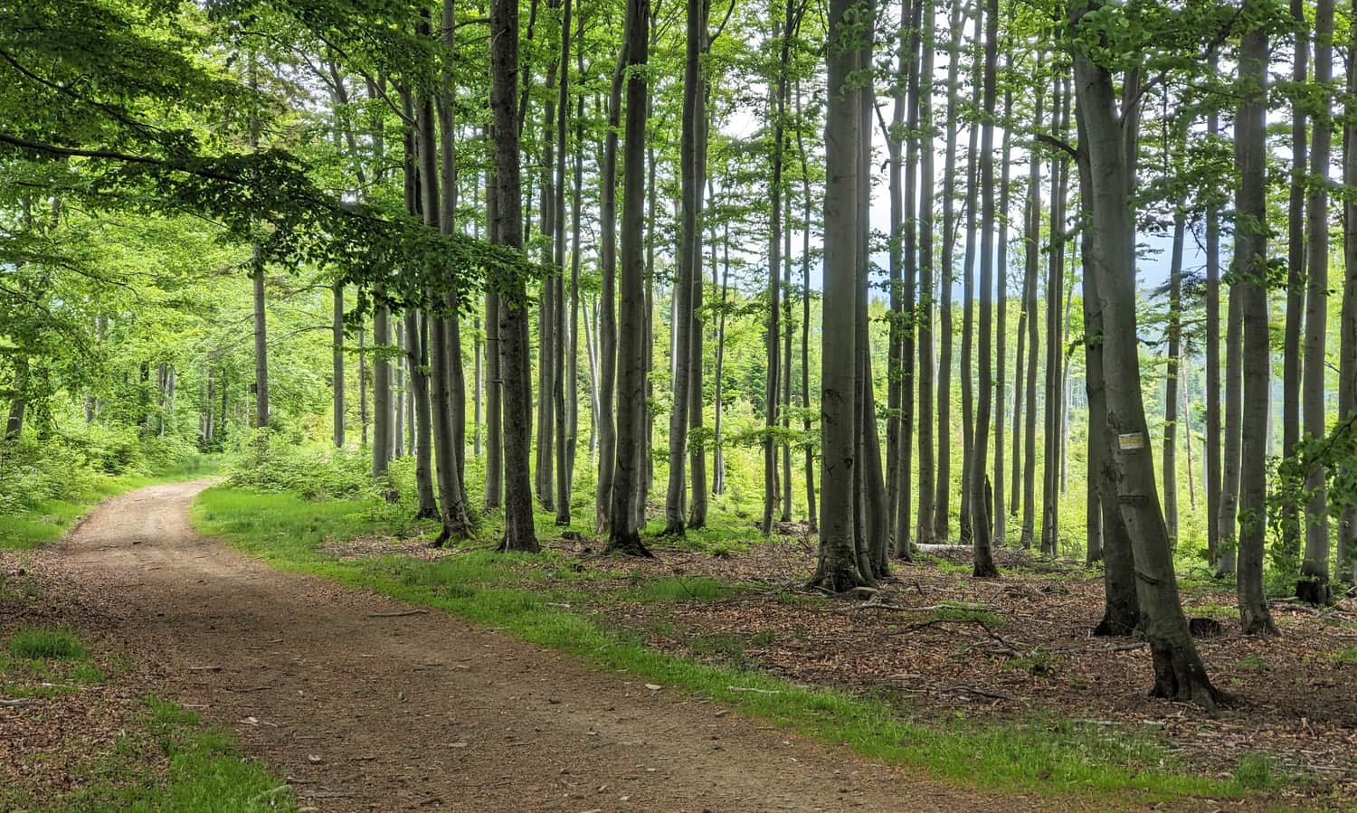
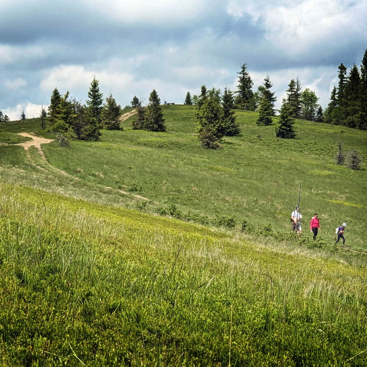
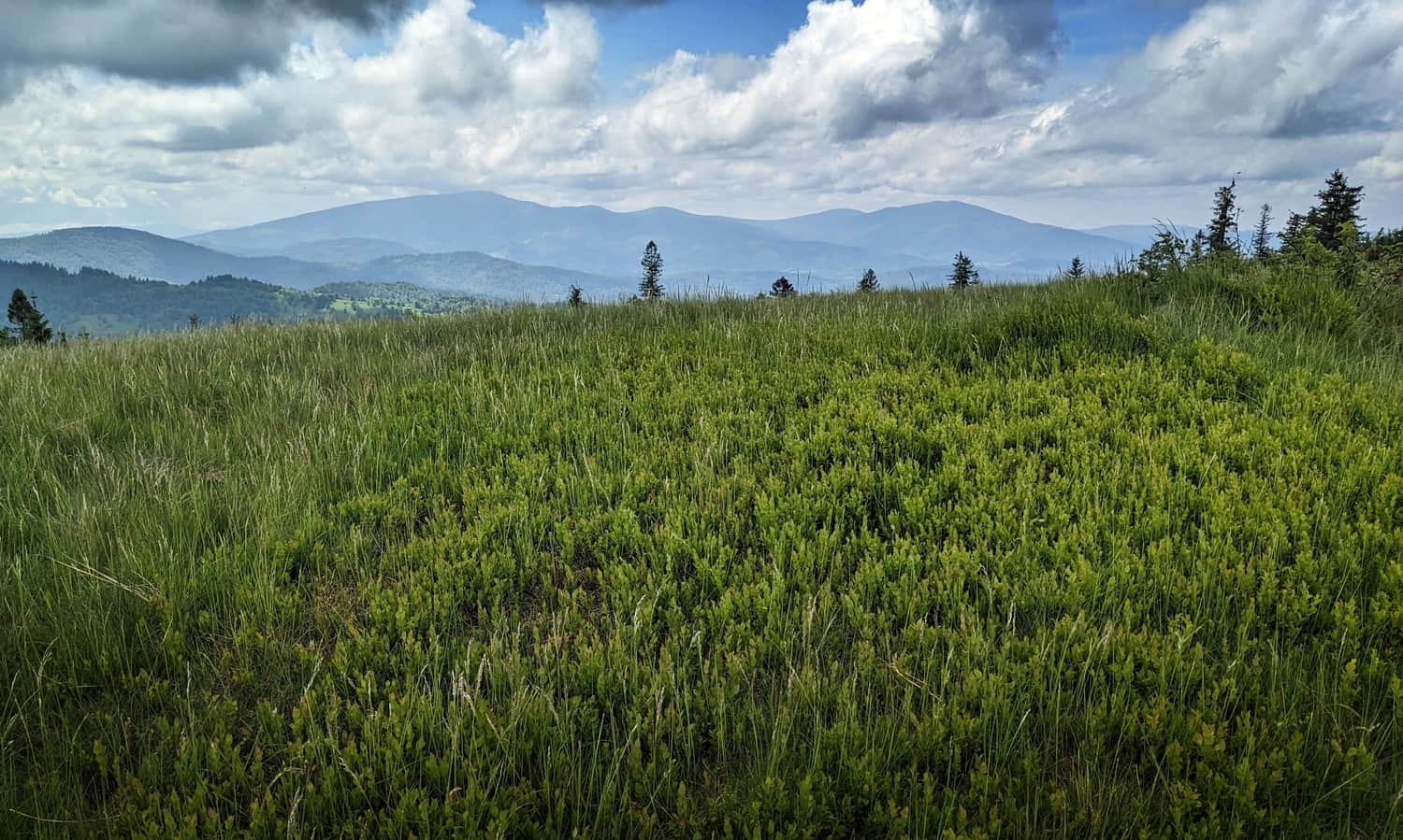
After less than an hour, we will reach Lachów Groń with its extensive (and scenic!) Janoszkowa Glade.
More about Lachów Groń and the views from the summit:
Lachów Groń - trails and views from the summit
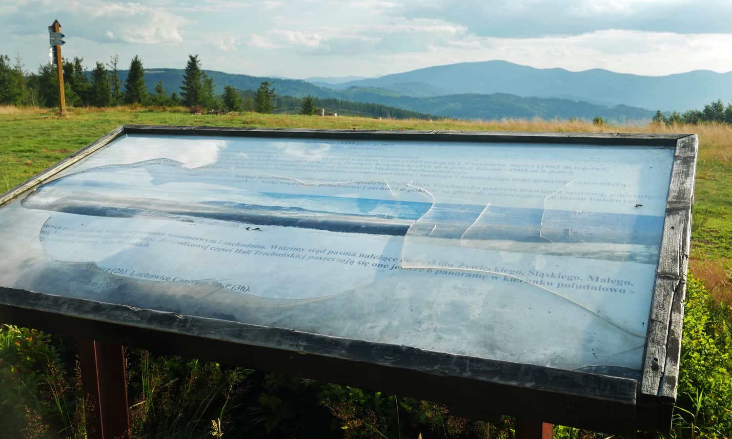
Lachów Groń (1045 m above sea level) is a scenic peak in the Żywiecki Beskids, in the Jałowiecki Range. Nestled at the foot of Babia Góra, it remains relatively unpopular, despite offering its visitors what's most important: expansive panoramas, peace, and quiet. ...
Return from Lachów Groń to Zawoja
We return to Zawoja Wełcza by the same route (the return journey will take us about 2.5 hours without stops).
It will be a bit shorter and faster if we bypass Jałowiec and descend from Czerniawa Sucha by the green trail to Przełęcz Klekociny and from there to Zawoja - Wełcza we will go by a beaten, wide road (yellow bike trail):