From Rytro to Kretówki Meadow and Cyrla Mountain Hut
Nearby: Nowy Sącz| Distance | 4.2km |
|---|---|
| Time | 2h 18min |
| Ascents | 501m |
| Descents | 11m |
beach_access Route in the shade
restaurant Restaurant or bar nearby
sports_basketball Playground along the route
directions_car Access by car
train Access by train possible
wc Toilet along the route
baby_changing_station Baby changing facilities along the route
The shortest, but quite steep route to the Cyrla Mountain Hut with a beautiful panoramic meadow called Kretówki along the way and a peaceful shelter.
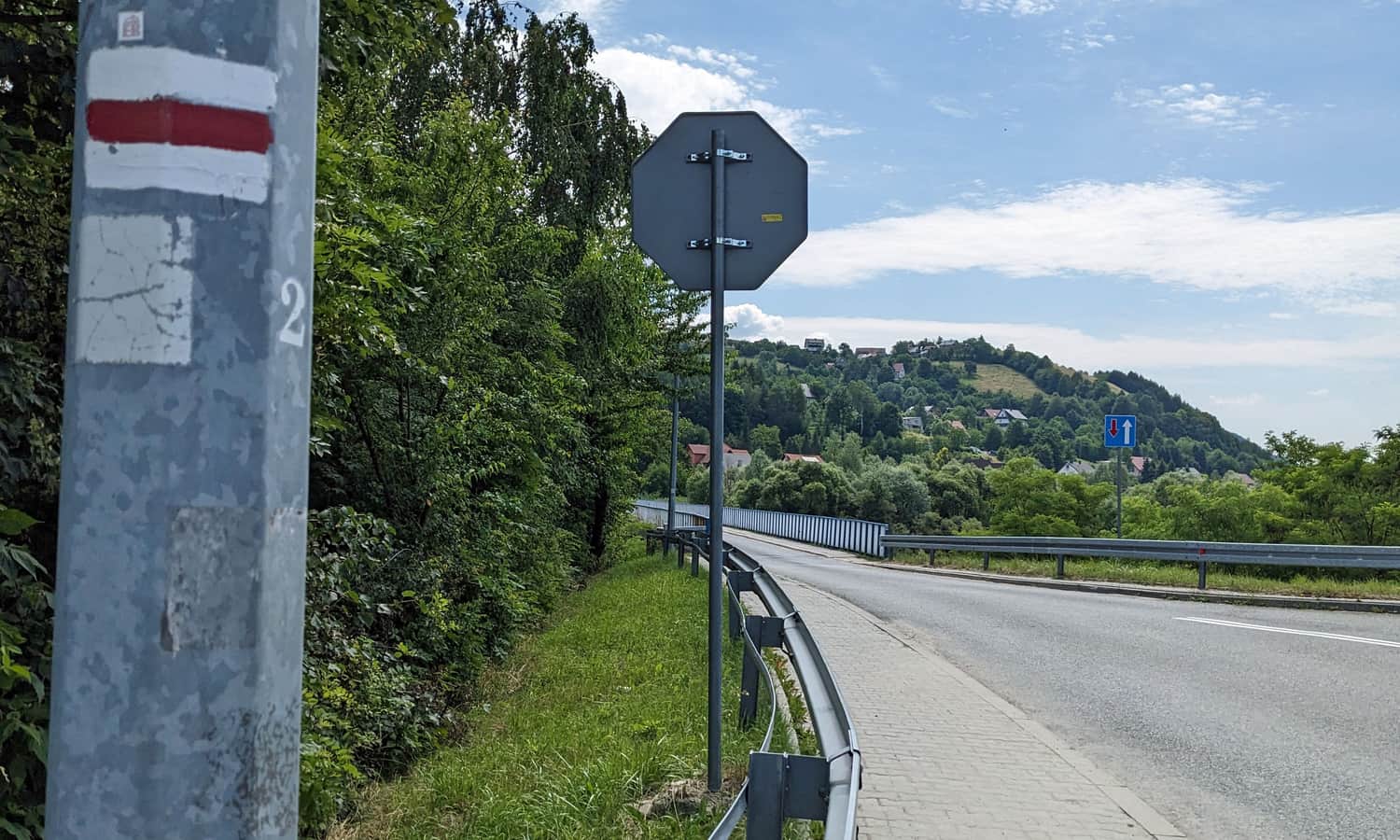
Rytro: the start of the red trail
The red trail (Main Beskid Trail) crosses Rytro near the railway station. One way leads towards Niemcowa and Radziejowa, the other way leads to the Jaworzyna Krynicka Range through the secluded and atmospheric Cyrla Mountain Hut. If you choose this direction, you need to cross a bridge to the other side of the Poprad River.
If you are driving to Rytro, you can park your car near the railway station or at a paid parking lot on the other side of the Poprad River. There is a small parking lot right next to the castle ruins.
Rytro - castle ruins and the red trail
The markings of the red trail pass right next to the picturesque castle ruins in Rytro. We highly recommend taking a little detour and visiting this place while climbing to Kretówki and Cyrla, especially because of the stunning panorama of the Poprad Valley and the surrounding hills.

Castle in Rytrze: History, Legends, Viewpoint
The Castle in Rytrze, or rather its picturesque ruins, is the main attraction of the area and a beautiful viewpoint. The history of this place dates back to the 13th century. The castle is associated with several stories and legends. ...
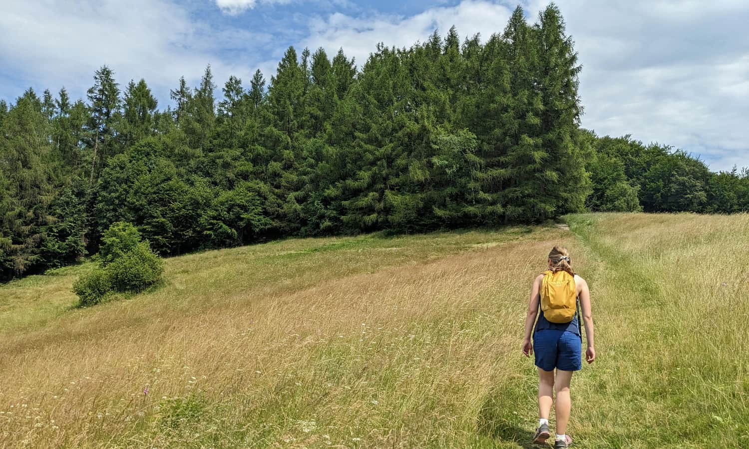
Rytro - Kretówki Meadow
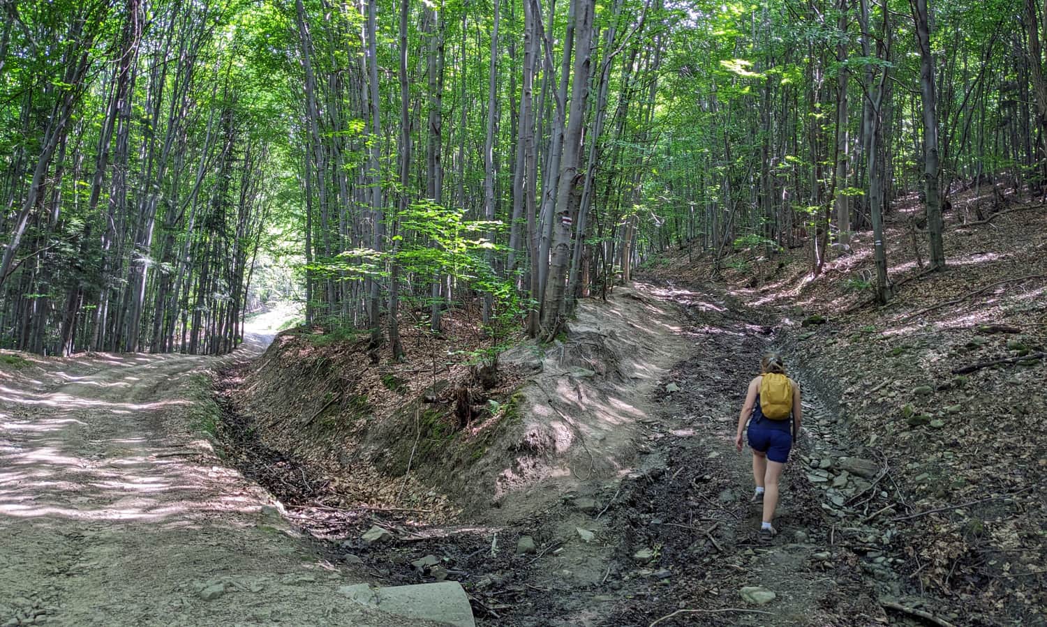
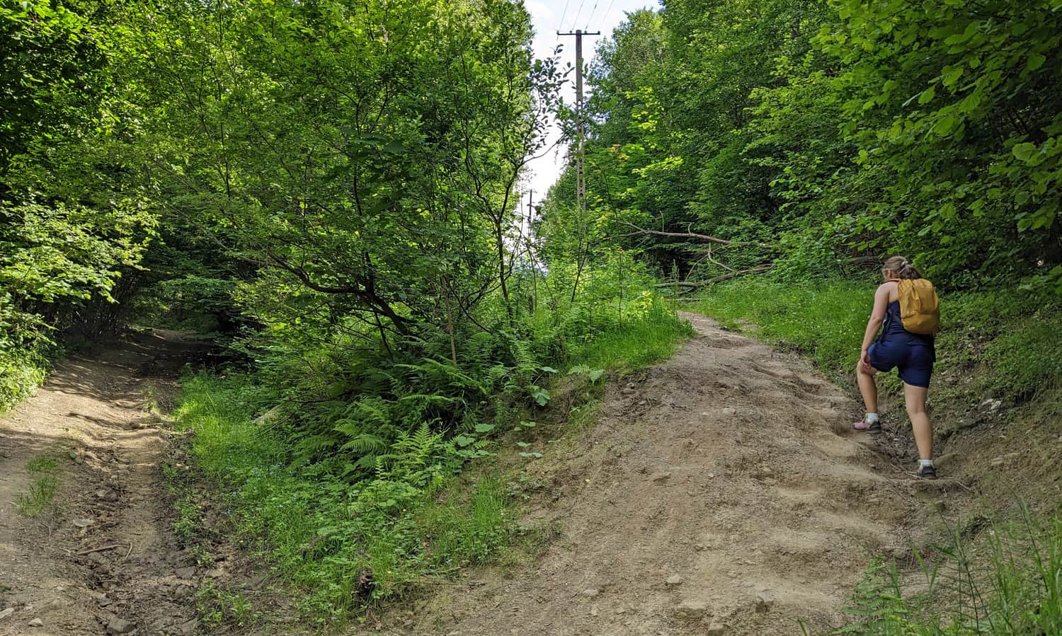
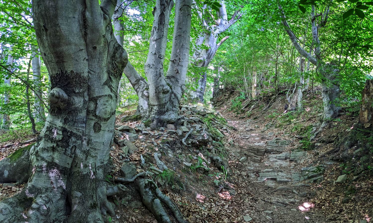
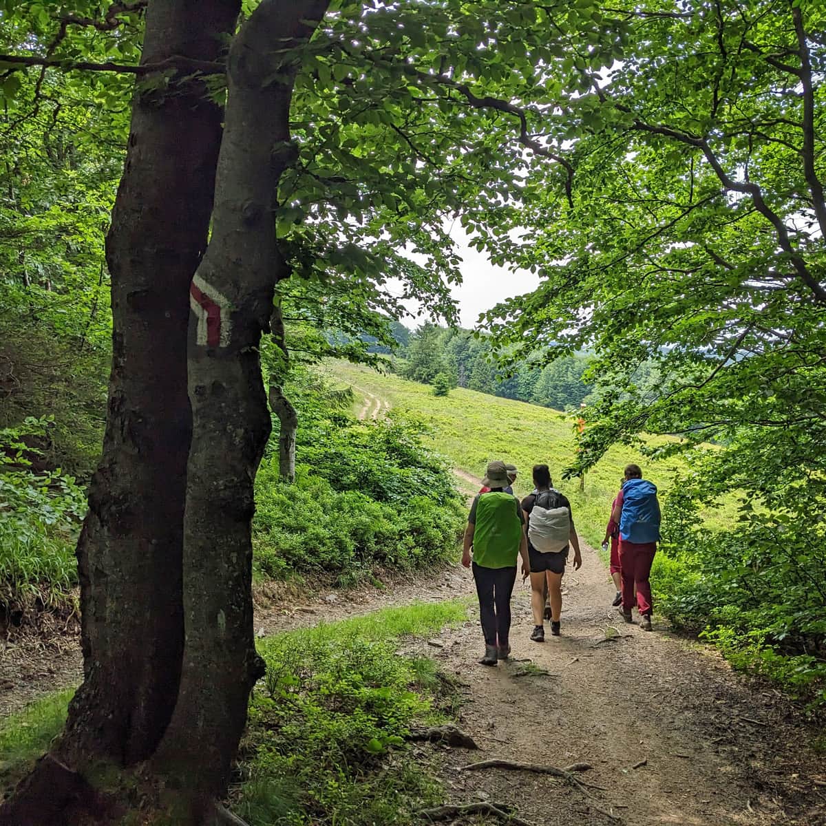
The first section of the red trail from Rytro is a fairly arduous climb along a wide, but quite steep path through the forest.
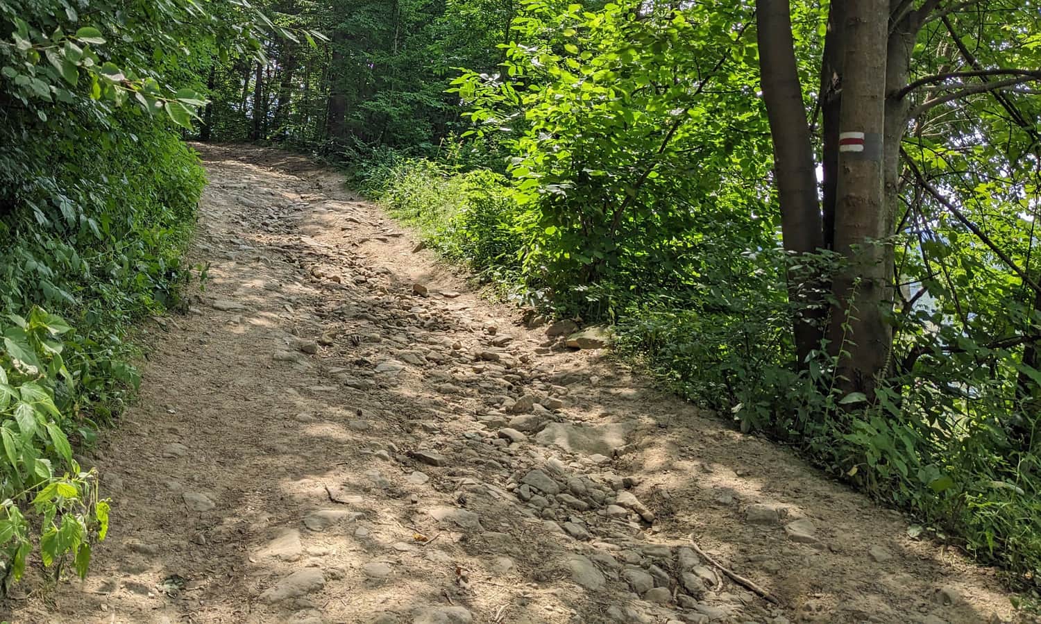
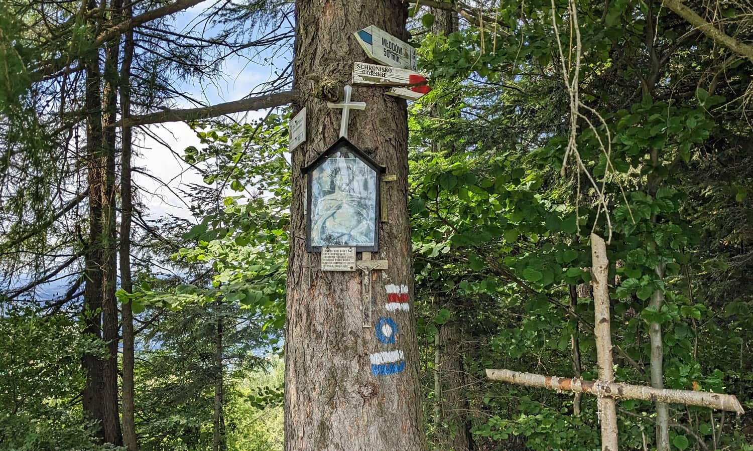
Pay attention to the trail markings! The trail crosses many forest roads and paths, and the intersections are not always well marked... These are two places where it is easy to get confused (they are also marked on the map in the article header):
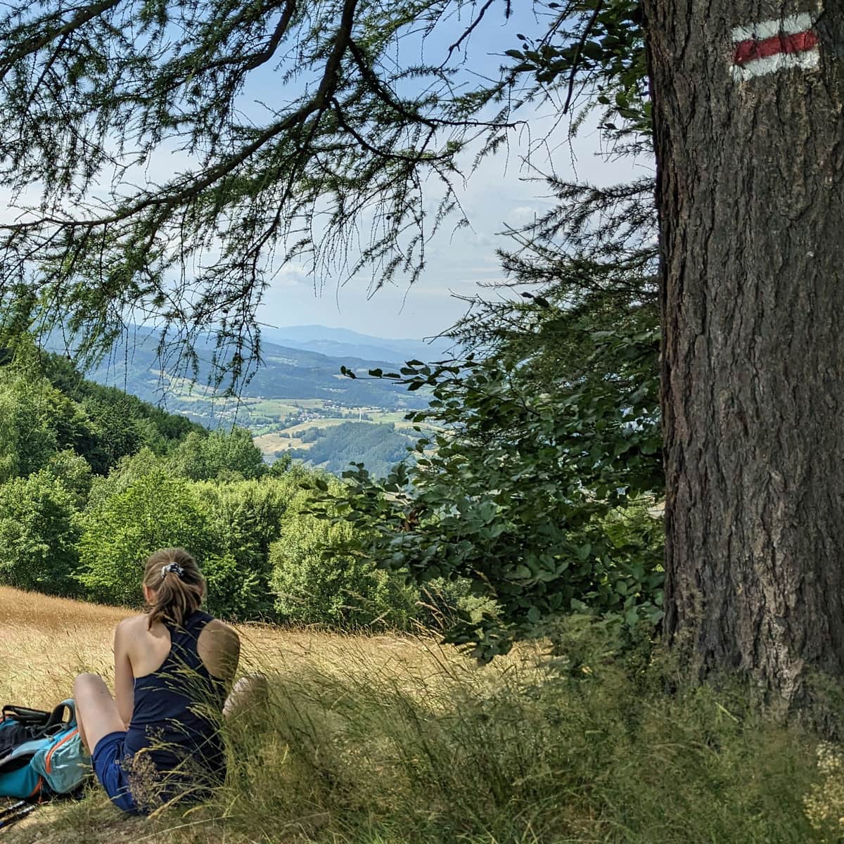
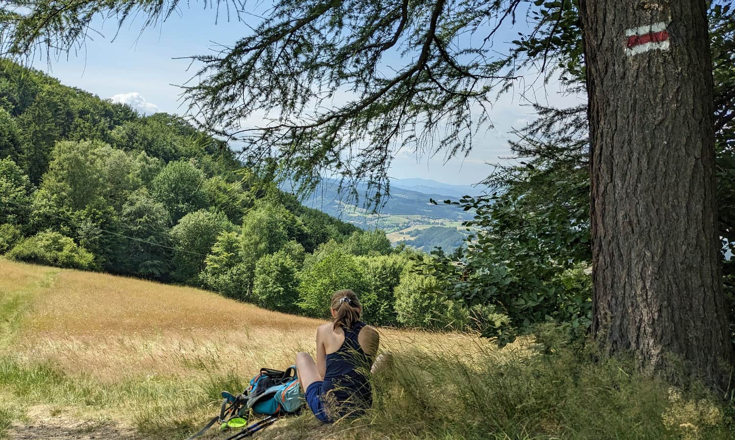
Kretówki Meadow above Rytro - views
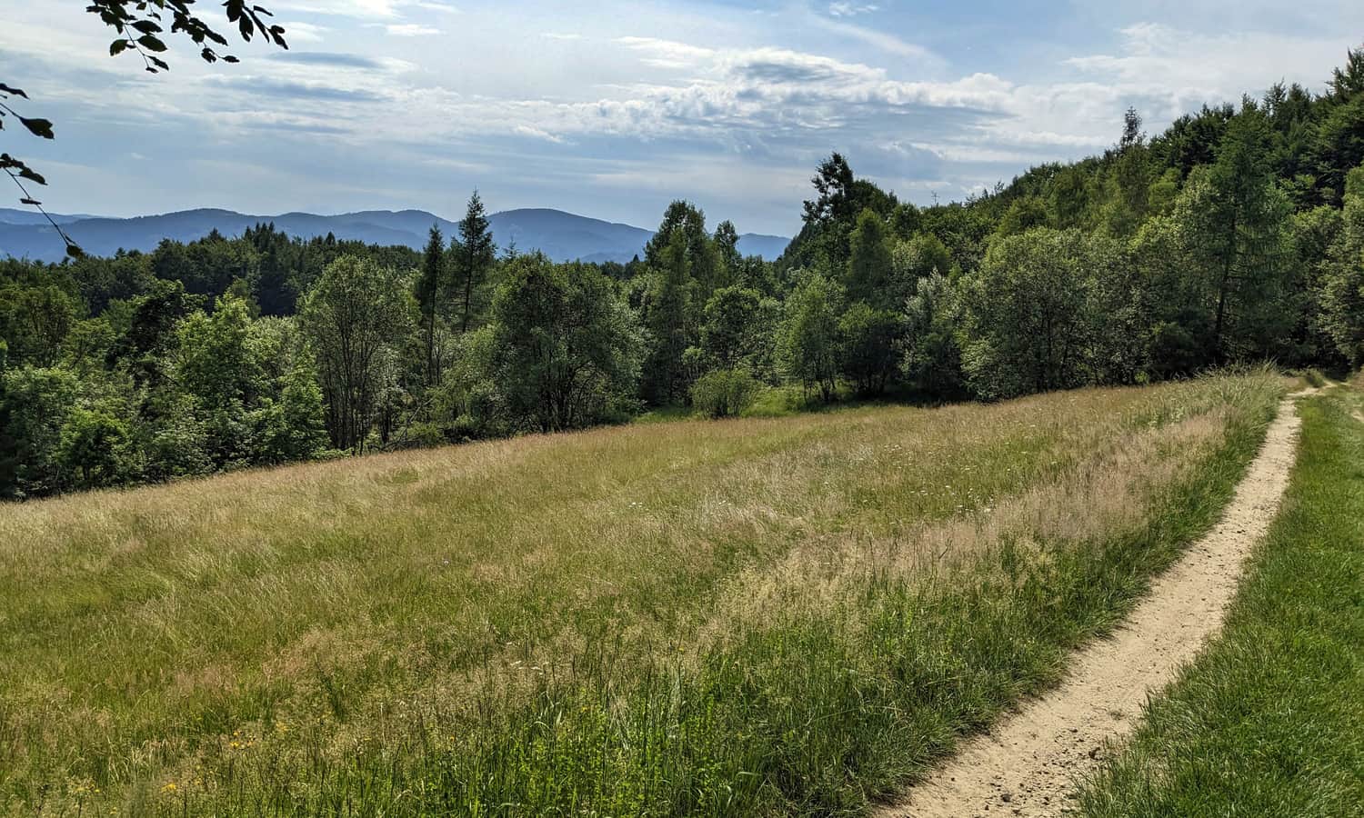
After about an hour and a half from the trailhead (if you haven't detoured to the castle ruins), you will reach the expansive Kretówki Meadow.
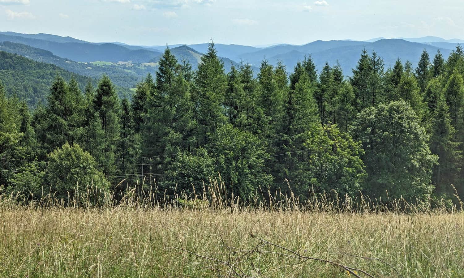
Kretówki Meadow offers magnificent views! First, to the west - to the Poprad Valley and the eastern part of the Beskid Wyspowy range (the summit of Mogielica emerges from the massif of Modyń):
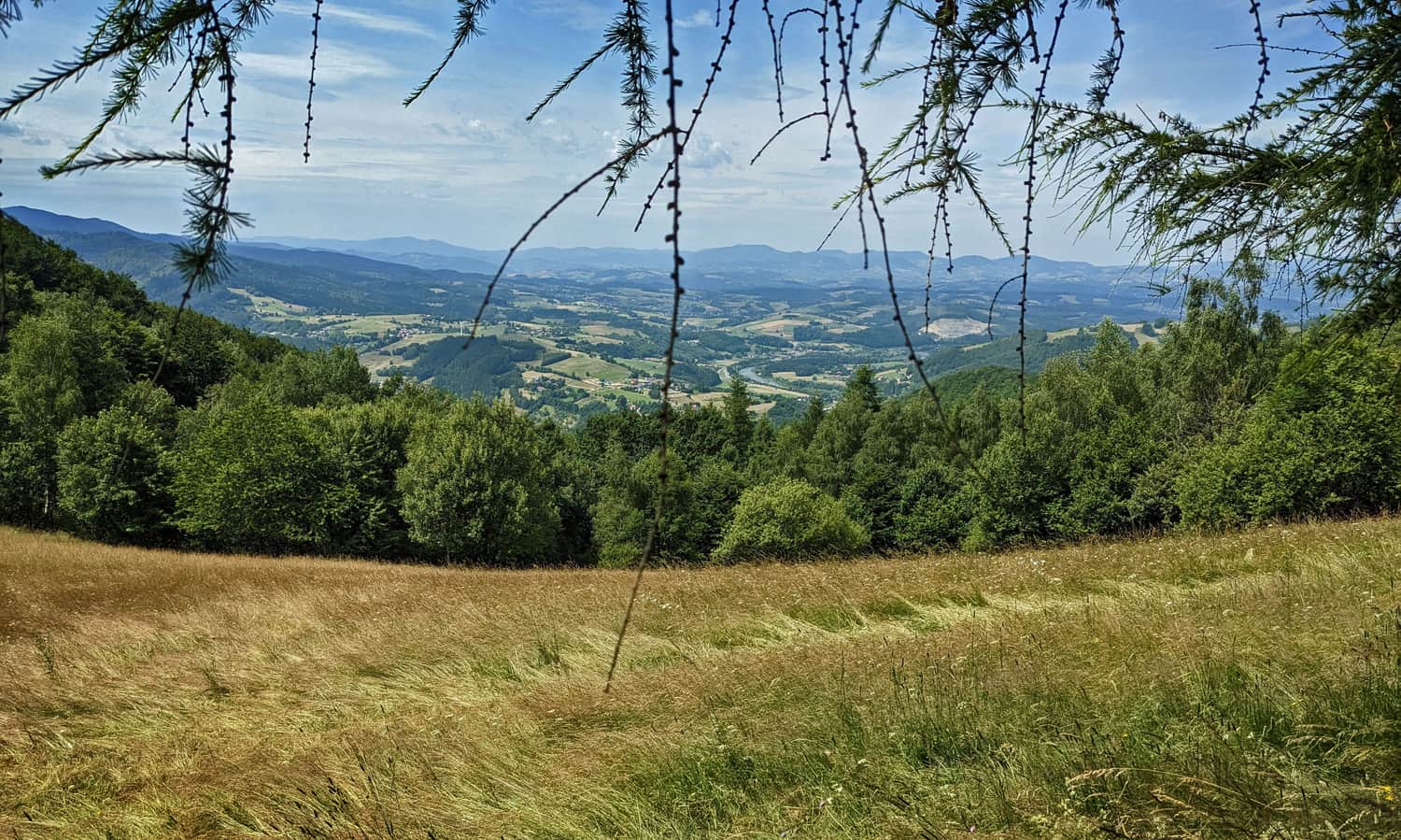
From the upper part of the meadow, there is a view to the southwest, towards the Radziejowa Range beyond the Poprad Valley:
At this point, the meadow is also intersected by the blue municipal trail from Młodów:
Kretówki Meadow - Cyrla Mountain Hut
From Kretówki Meadow, a pleasant forest path through beech gorges leads us to the Cyrla Hut.
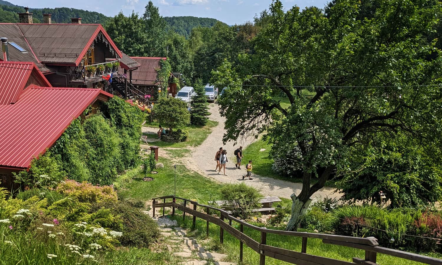
After about half an hour, we will be there! At Cyrla, you can enjoy delicious homemade dishes, sweets, drinks, souvenirs, extensive meadows, a place for a bonfire, and even a playground!
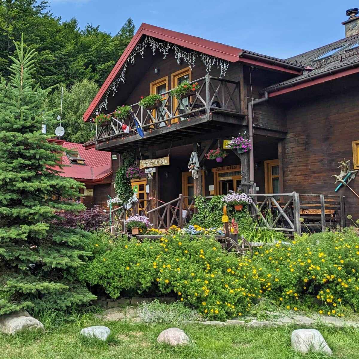
Mountain Hut Cyrla - Trails, Views, Attractions
Mountain Hut Cyrla near Rytro is located along the red trail: the main Beskid trail at the northwestern end of the Jaworzyna Krynicka Range. It offers a place to rest during hikes, delicious homemade meals, and accommodation options. ...
Cyrla and what's next?
After resting at the hut, we can walk another 5-10 minutes uphill on the red trail - another scenic meadow awaits us:
We can also continue along the ridge of the Jaworzyna Krynicka Range. At Jaworzyna Kokuszczańska, there are more views and a blueberry field (about 1 hour one way), at Czarny Wierch, there is a rocky outcrop (2.5 hours), and in less than 3 hours, there is another shelter at Hala Łabowska.
You can see the description of the hike along the ridge of the Jaworzyna Krynicka Range between Cyrla and Hala Łabowska, as well as photos of interesting places along this route, here:
Medium
Hala Łabowska - Czarci Wierch - Jaworzyna Kokuszczańska - Mountain Hut Cyrla