From Kraków to Ojców by bike — the Red Trail
Nearby: Kraków| Distance | 16.5km |
|---|---|
| Time | 5h 16min |
| Ascents | 460m |
| Descents | 358m |
directions_bike Bike route
wb_sunny Route in the sun
restaurant Restaurant or bar nearby
sports_basketball Playground along the route
How to cycle to Ojców and the Prądnik Valley?
Parking lots are often full, so going to Ojców National Park by bike is a good idea. It is not that hard! You can ride the whole route, or only a part of it (below we show how to make it shorter).
Note: This is not a comfy, separated bike path. Most of the way uses village roads shared with cars. Some parts are rocky or even muddy. At times you will need to push the bike, or walk it up a steep hill.
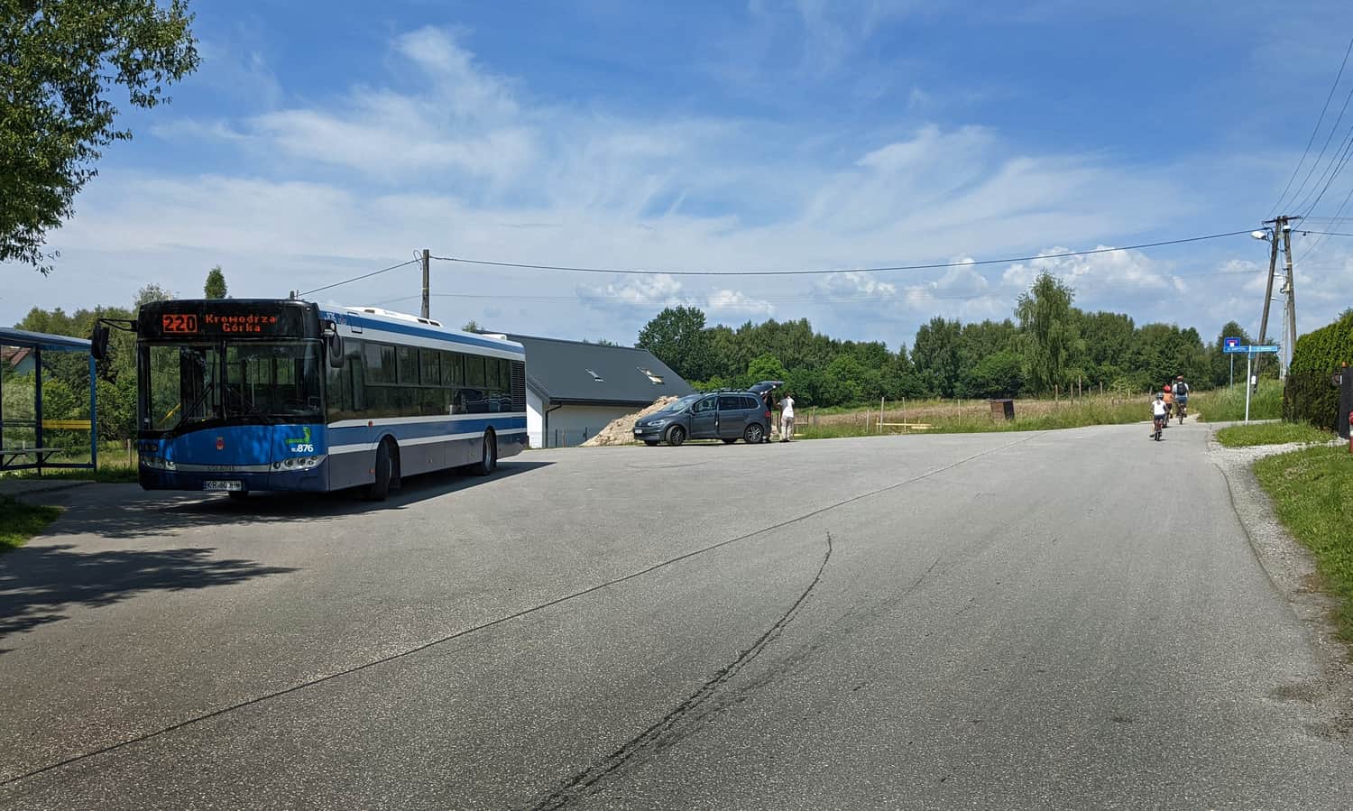
Red 'Eagle Nests' Trail from Kraków (Krakow)
You can start at the Krowodrza Górka tram loop (north Kraków), or in the nearby Park Krowoderski. The first section of the Red Trail goes along Łokietka Street (on the sidewalk). After crossing the train tracks, turn right — this is the first off‑road section.
Heads up: the Red Eagle Nests Trail is a hiking trail (it actually continues all the way to Częstochowa). Luckily, the Kraków–Ojców section is rideable by bike for most people and is also the shortest way to get from northern Kraków to Ojców National Park.
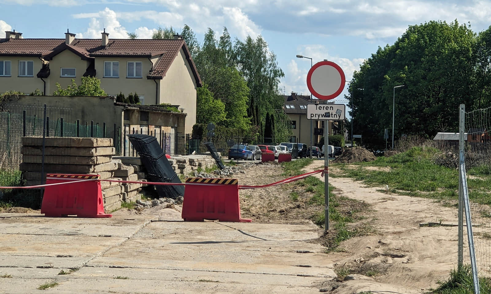
After riding alongside the tracks, turn left into Pękowicka Street. For now, it is a 'street' in name only — more like a dirt road next to new housing estates:
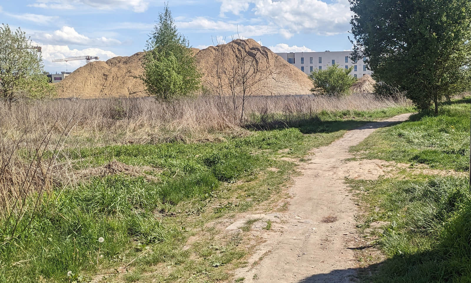
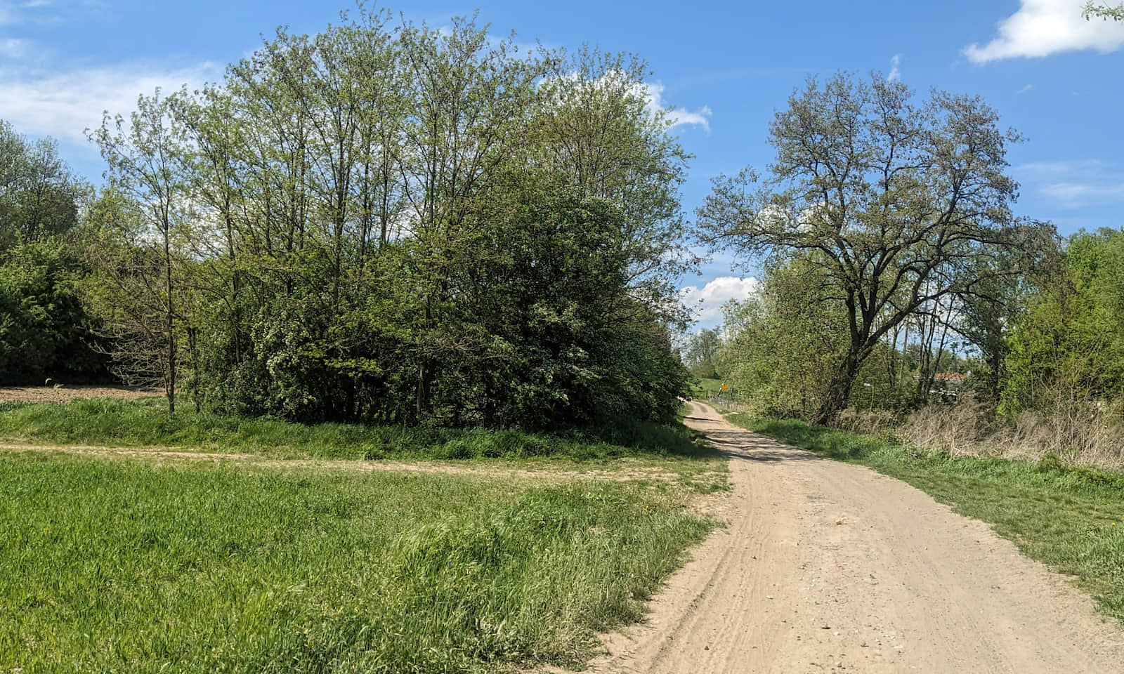
Passing construction areas on dirt tracks (once there were goldenrod meadows here), you reach Zielonki. After a short stretch of asphalt, you are back on a compacted gravel road (luckily, only for a short while):
Red Eagle Nests Trail and crossing Kraków’s northern ring road
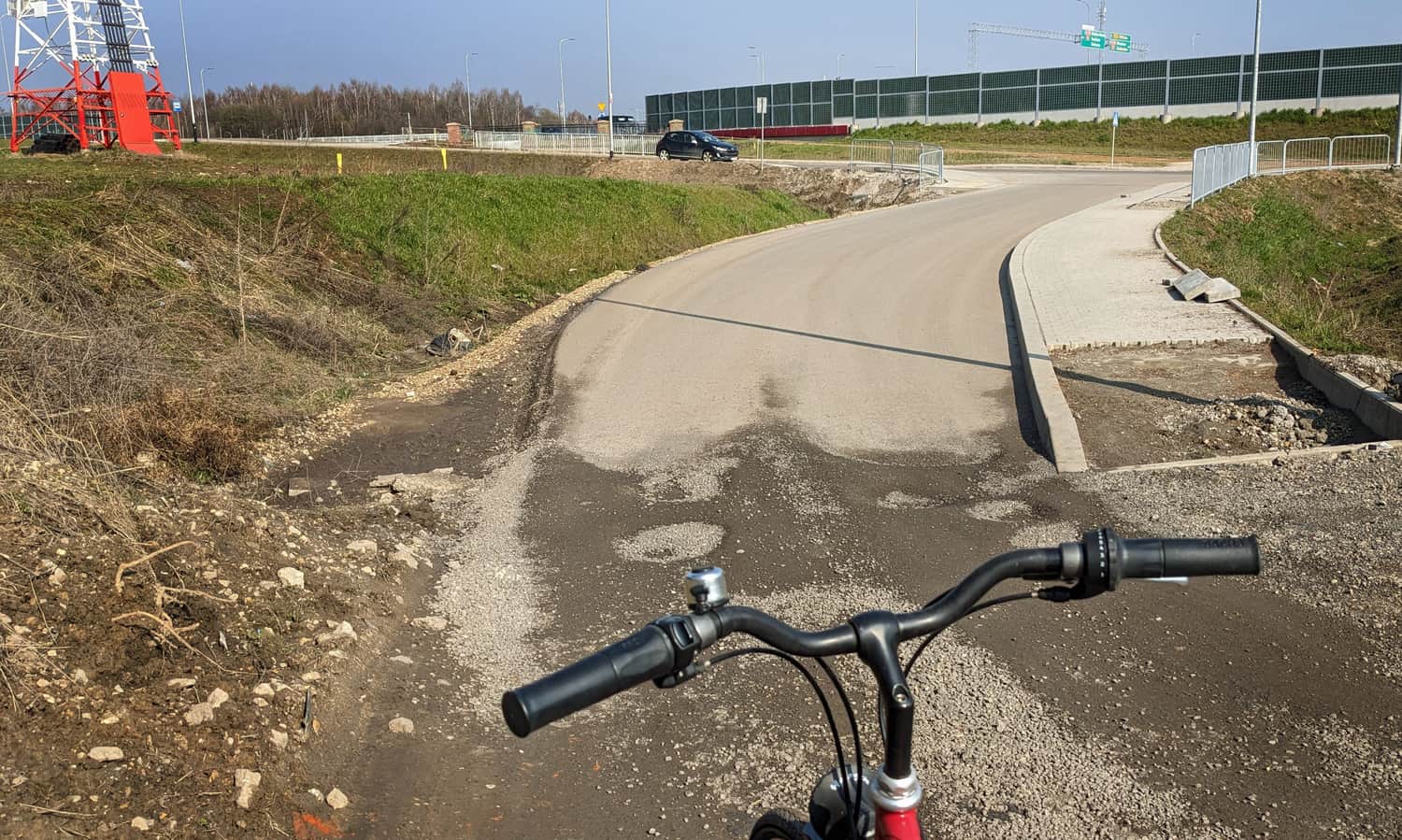
For years, getting across the ring-road construction site was the hardest part of the bike route from Kraków to Ojców. Today (May 2026) the road is finished. The pedestrian and bike infrastructure is still catching up — especially on the Pękowice side.
Here is the approach to the ring road from the Kraków side:
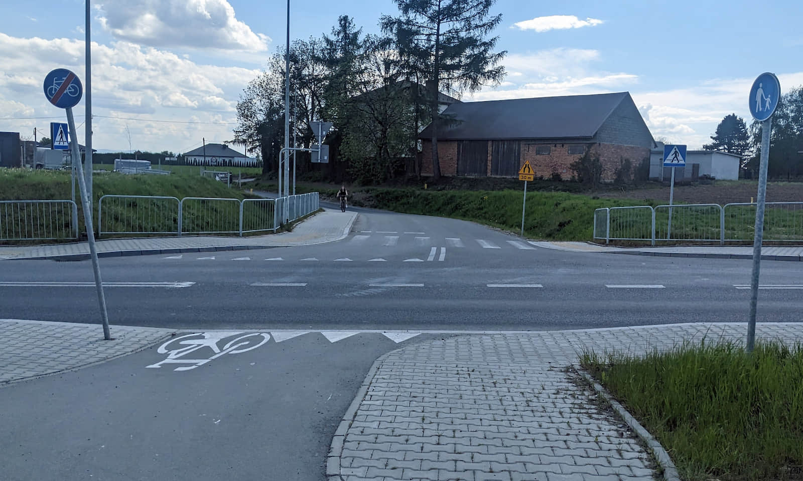
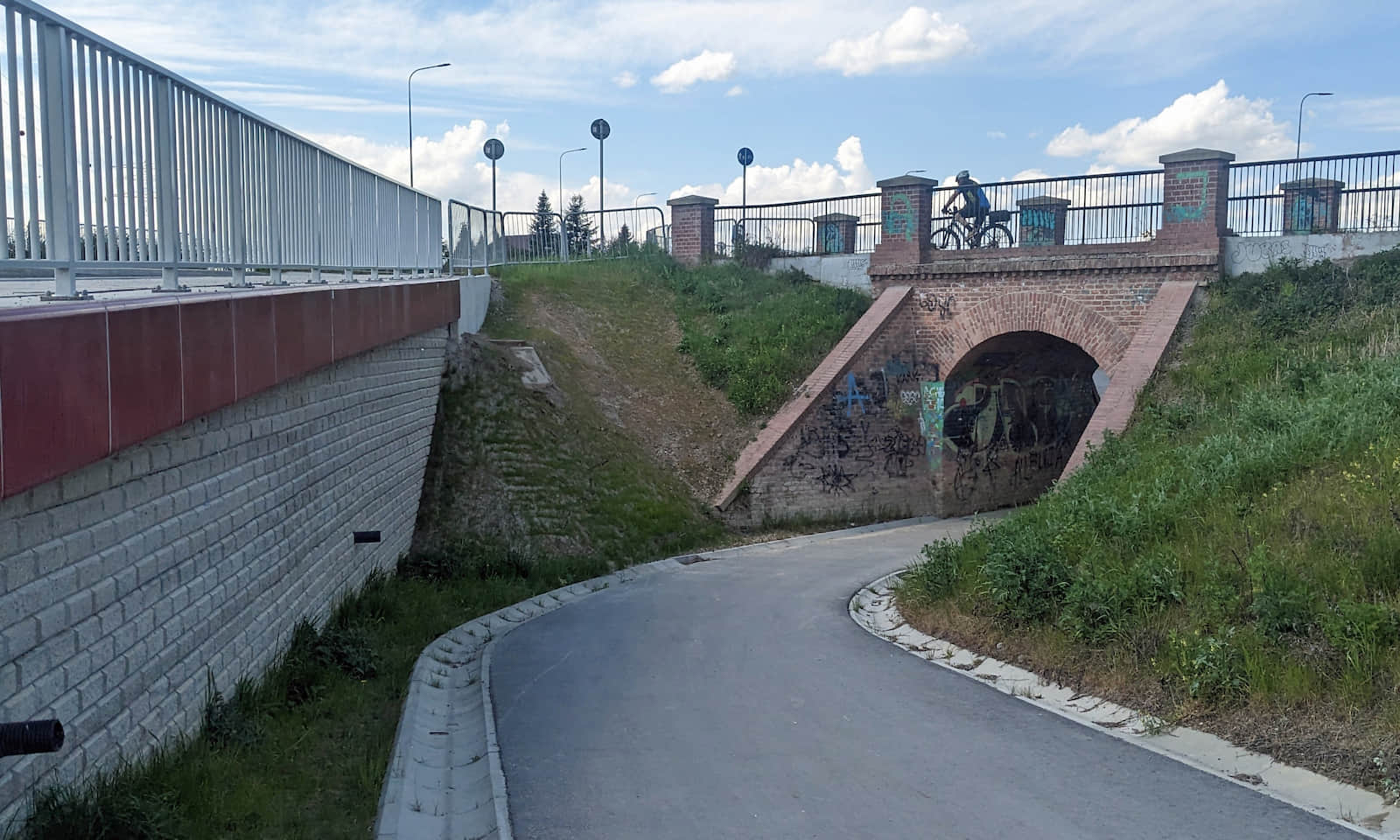
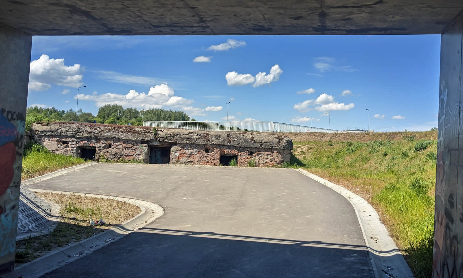
From Pękowicka Street, use the marked bike crossing and turn left onto the separated cycle path. Along the way you will see a turn down to the so‑called 'Red Bridge' — a historic Austrian viaduct. It is worth a quick look, but note it is a dead end in the middle of a roundabout:
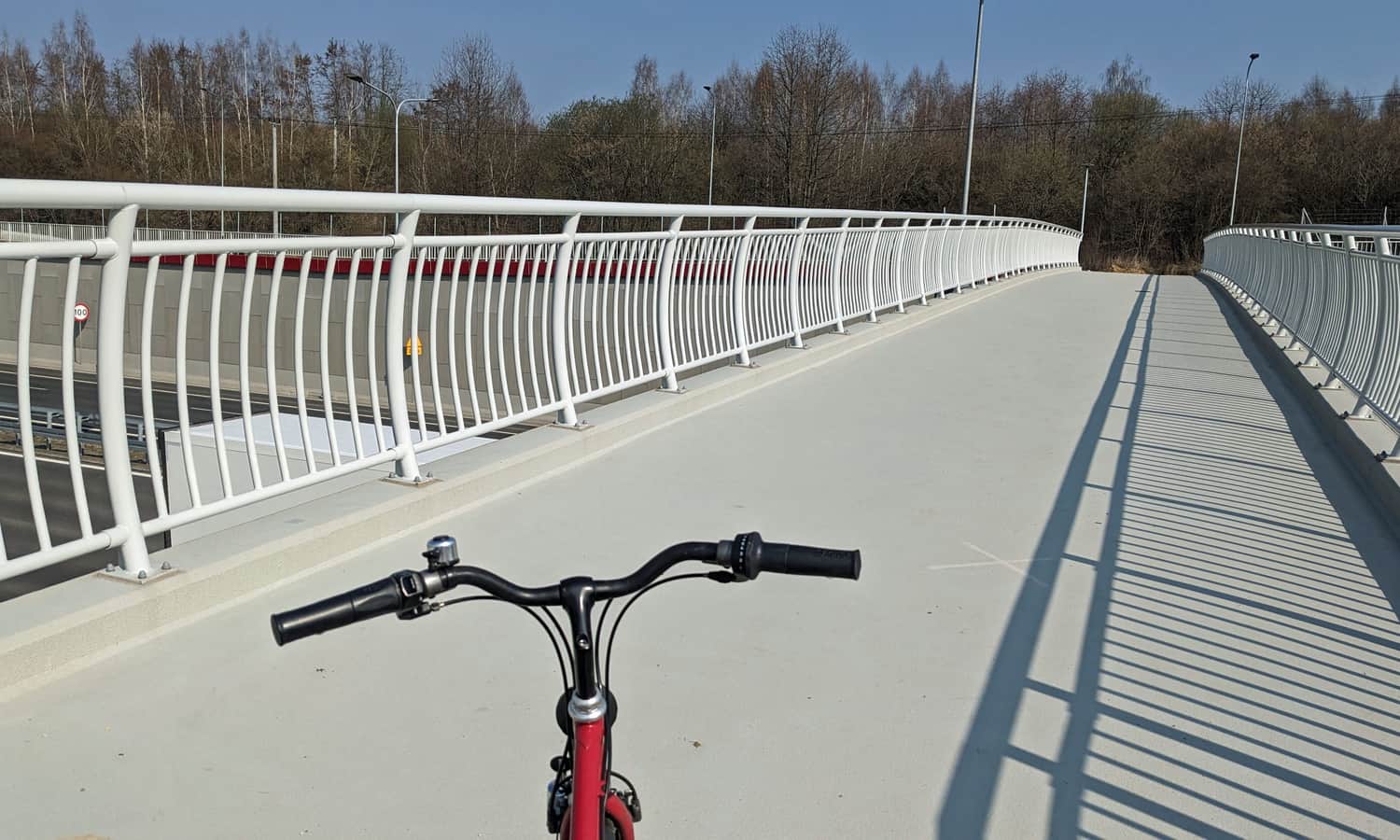
Pedestrian and bike footbridge over the ring road
The bike footbridge over the ring road is open and you can enter it from the Kraków side, but on the other side the bike path ends for now...
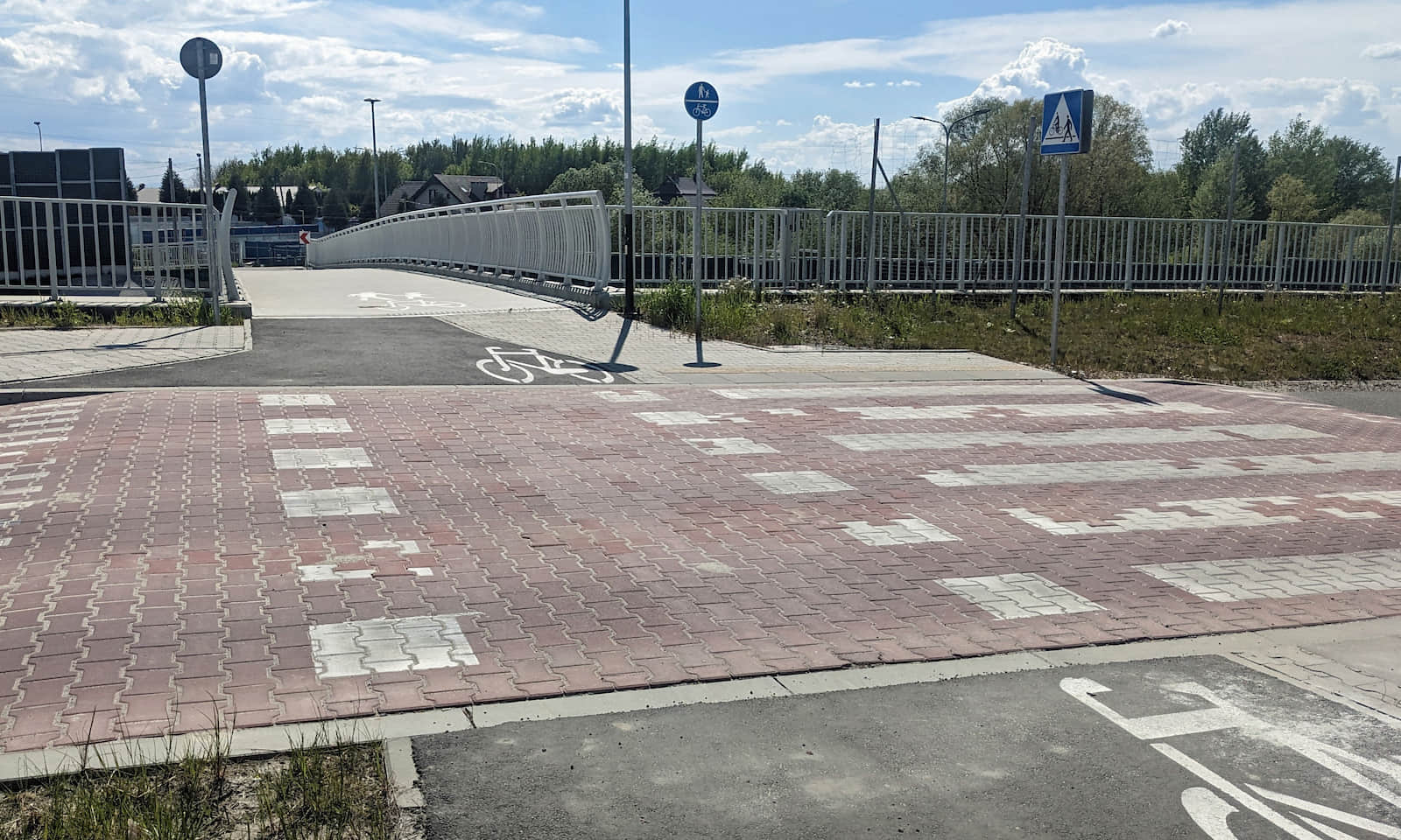
After crossing the footbridge, to continue on Pękowicka Street you currently need to take a dirt path to the right:
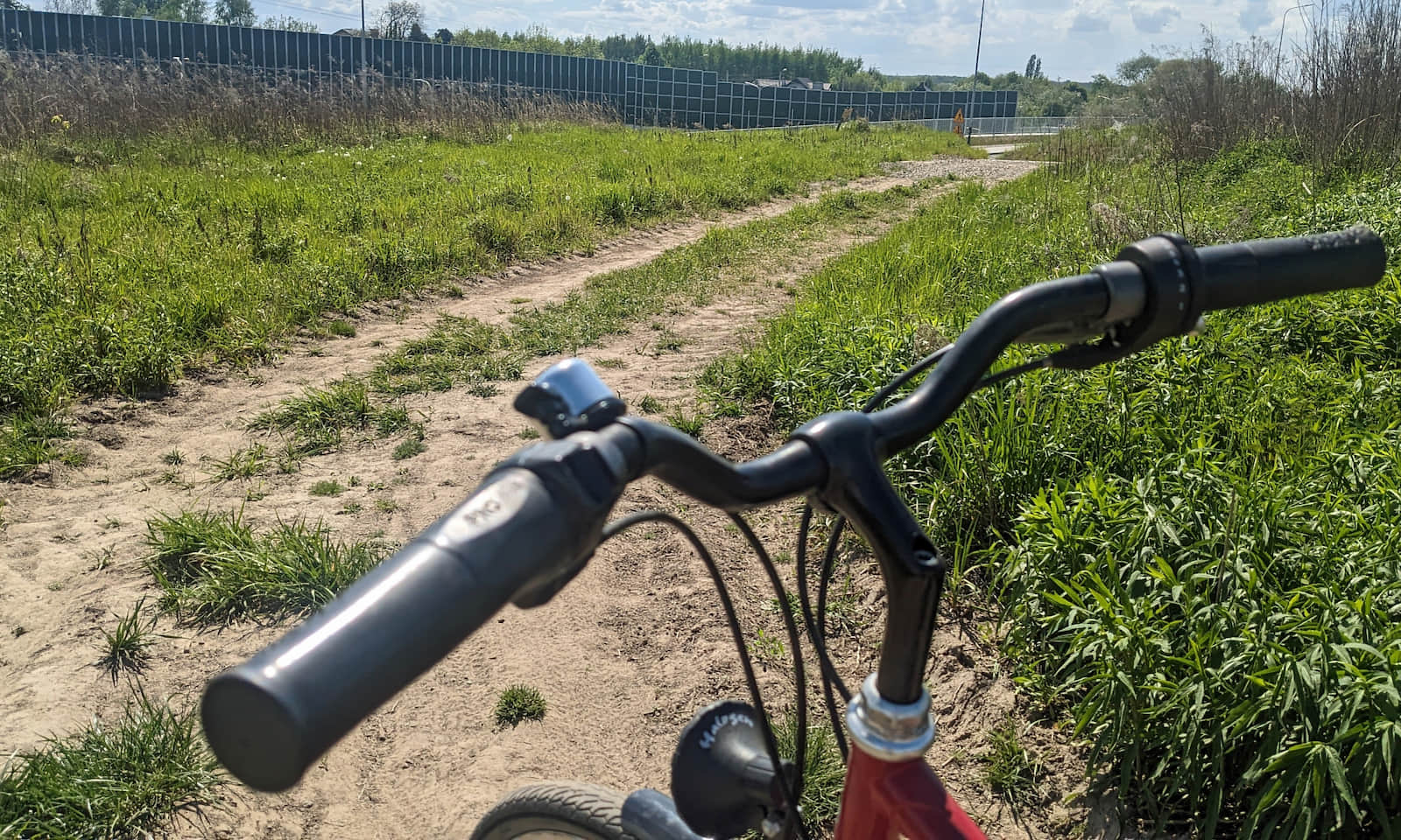
A few dozen meters north of the ring road there is a fairly comfortable (but sandy and rocky) track across meadows to Pękowice:
Tip: You can skip this whole bumpy section (Pękowicka Street up to Jurajska Street) by starting in Bronowice and riding along Jasnogórska Street. See the separate bypass description.
Medium
Cycling from Krakow to Ojców, route from Bronowice District

Section Pękowice–Giebułtów
Although Pękowice greets you with a rough dirt road, soon you reach asphalt: Jurajska Street, and then Ojcowska Street.
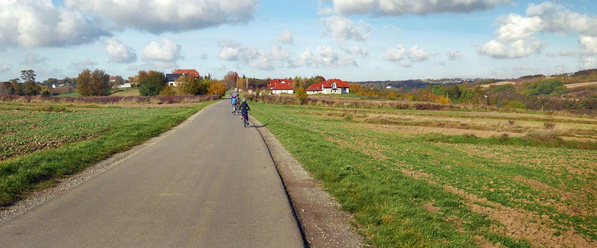
And those views over the fields! If only the whole route looked like the entry into Giebułtów...
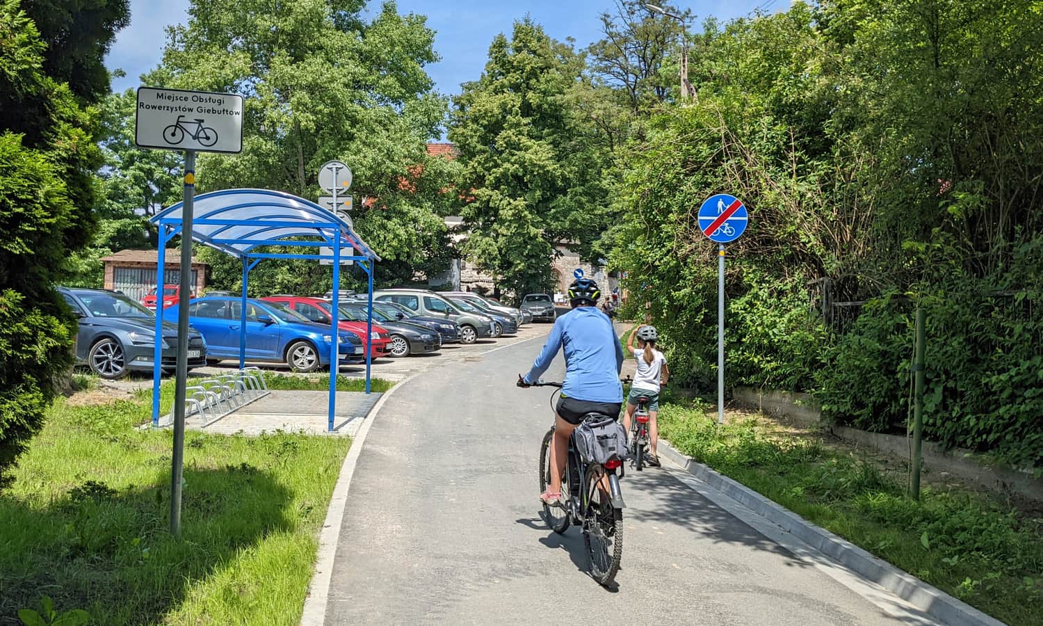
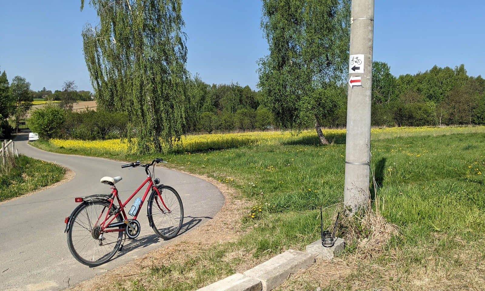
Giebułtów and 'Kwietniowe Doły'
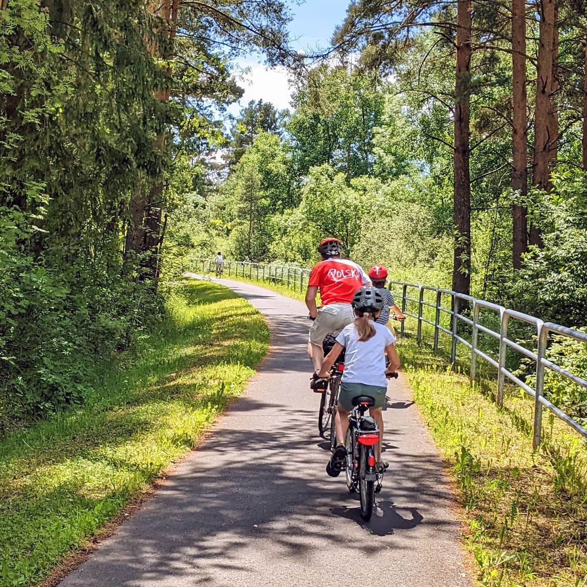
In Giebułtów there is a comfortable bike path. There is also a new pedestrian‑bike shortcut that lets you skip the winding road by the cemetery:
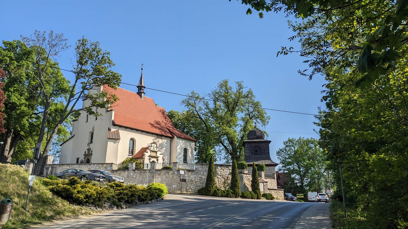
You cross a busy road, but right after the church you are back on a quiet street. At the church in Giebułtów, the long‑distance red hiking Eagle Nests Trail is joined by a black bike route.
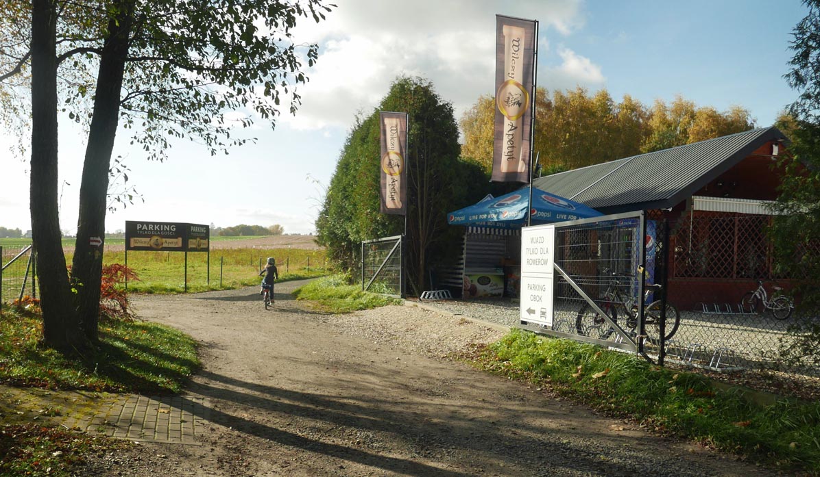
You pass the volunteer fire station (OSP), a large park with a playground, then the stadium, and reach an outdoor restaurant (also with a playground) — Wilczy Apetyt Przy Szlaku. Just beyond it there is a beautiful viewpoint over Kraków and the mountains — we even saw the Tatra Mountains!
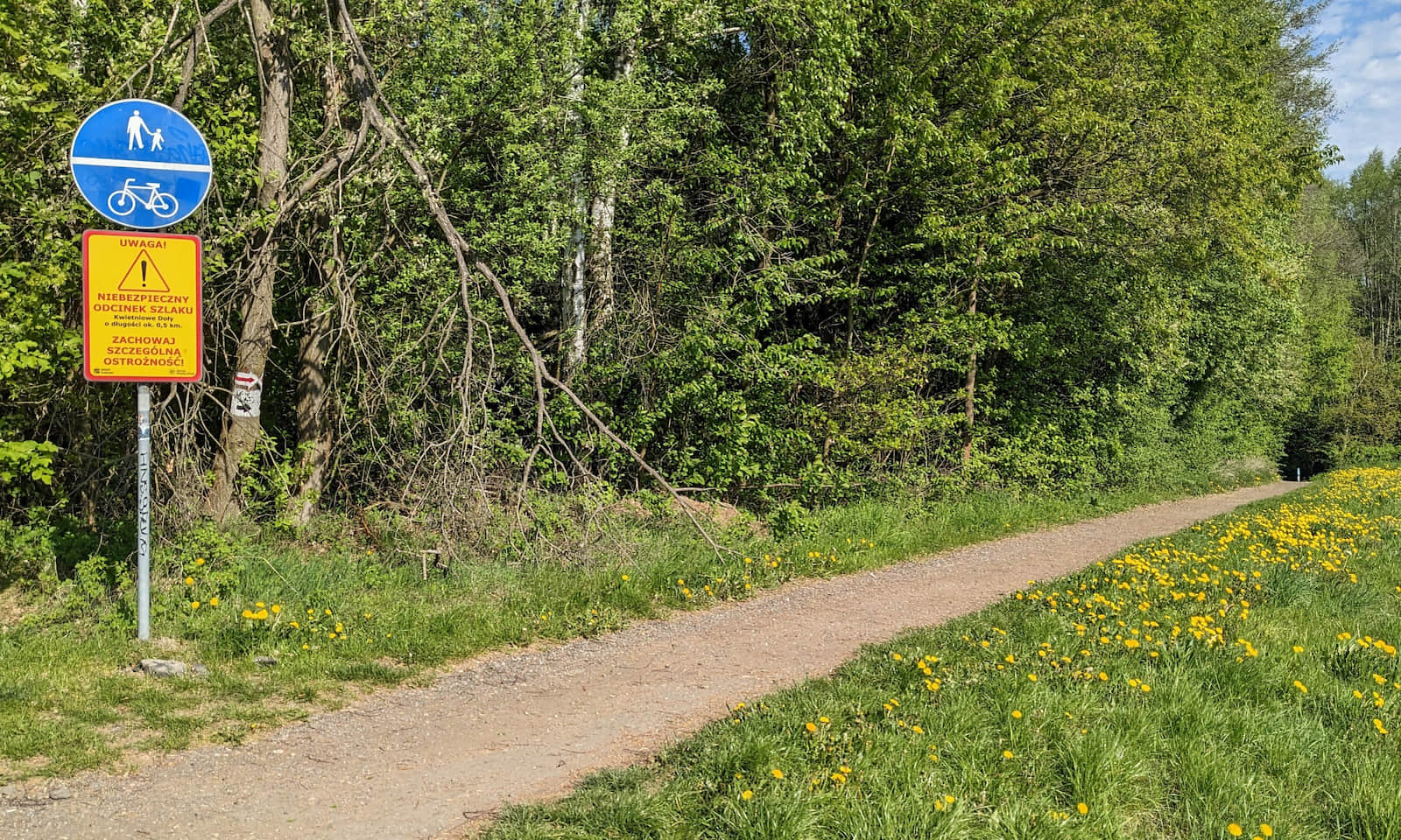
Now you enter the forest called 'Kwietniowe Doły'. The path is hardened and pretty, but steep. We actually pushed our bikes for most of this forest section (both going down and, on the way back, up):
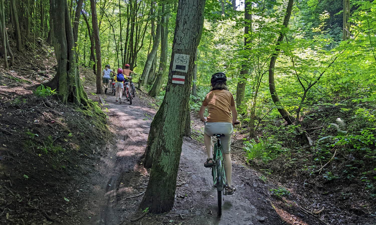
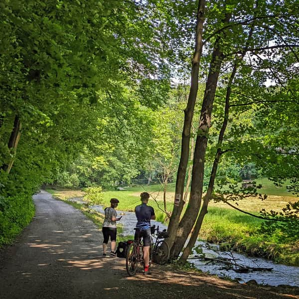
Section Prądnik Korzkiewski–Ojców
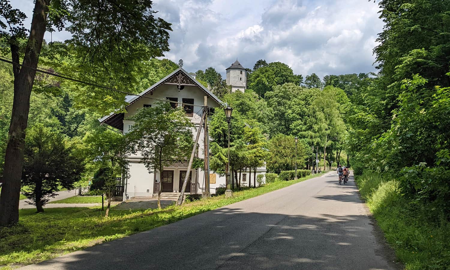
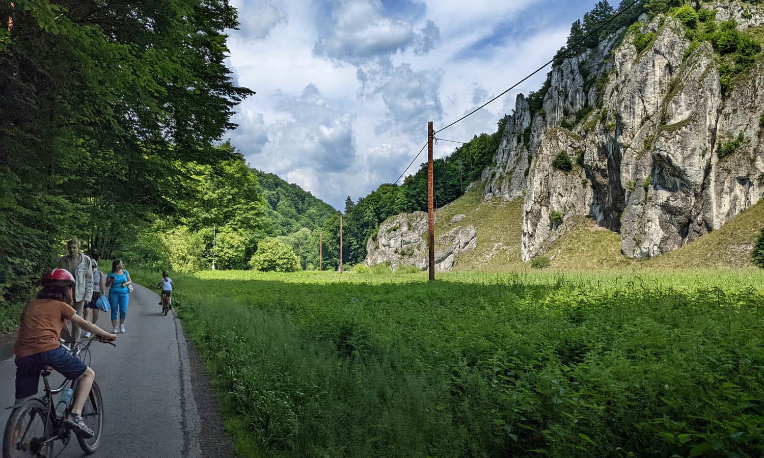
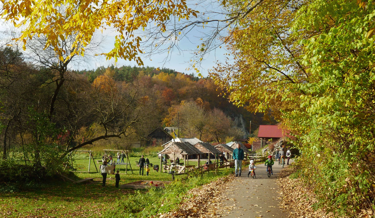
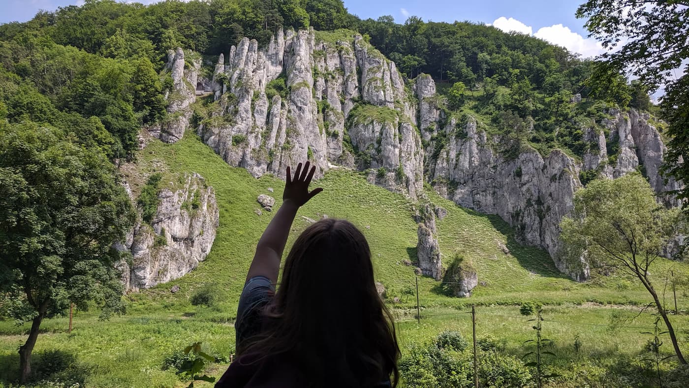
After leaving the forest you must cross another busy road (Wesoła Street). Then ride along Swawola Street and next Ojcowska Street — and it gets beautiful here! You are in the Prądnik Valley. First limestone rocks and steep wooded slopes appear.
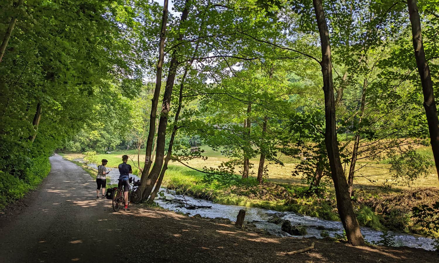
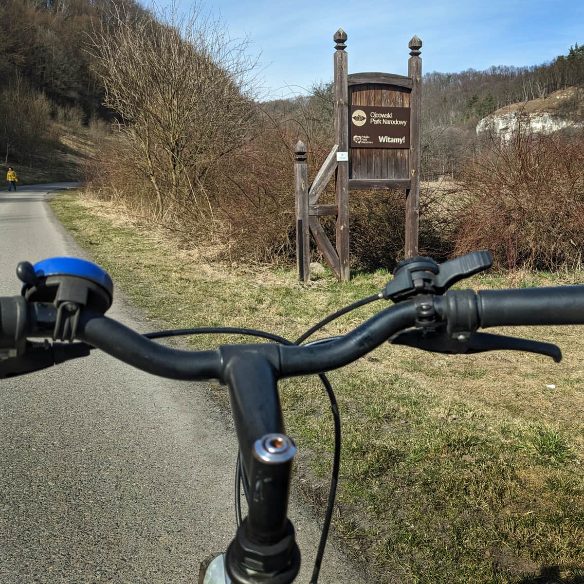
Soon you will reach the border of Ojców National Park and the first eatery, 'Pod Puchaczówką' (with a playground) — right by the start of a lovely scenic trail on the valley rim. Fancy a short forest climb? Green educational trail on the valley rim >>>
Next come the Love Spring, Kraków Gate, Dark Cave, Ojców trout, picturesque rocks — and many other attractions!
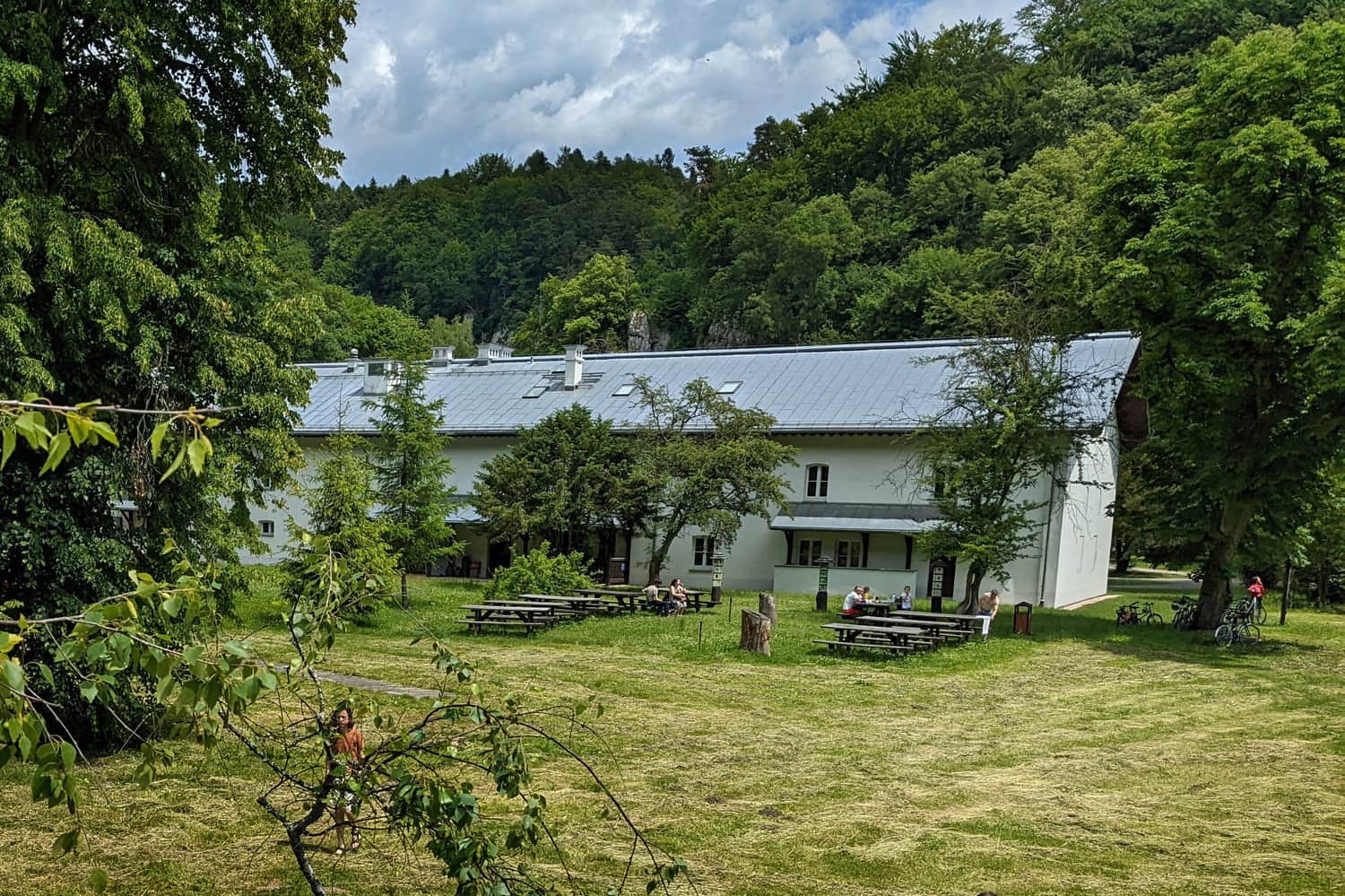
If you prefer a family picnic instead of restaurants, we recommend the quiet benches and tables by the Ojców National Park Education Center. You can find the location on the map in the photo details.
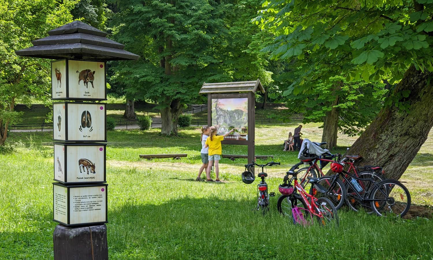
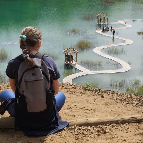
Ojców, Ojców National Park and the Prądnik Valley — attractions
What to see once you reach Ojców? Park your bikes and take a forest walk, climb on rocks, visit caves, or go up to the castle. Here is more about what to see in Ojców.
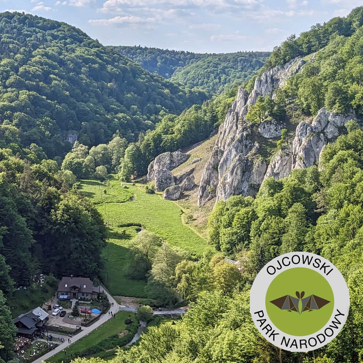
Ojcowski National Park
It is the smallest national park in Poland! But as the old saying goes, "small is beautiful" - so what will we see in Ojców? ...
Cycling to Ojców — practical info
- As mentioned at the start: this is not an easy, casual family route. Watch children closely in risky spots and be ready to help or support them. Yes, there are cars on some stretches, but on a Sunday around noon we saw very few (fewer than cyclists). The most crowded place was near the national park border, where cars parked on the shoulder narrowed the road.
- Riding Park Krowoderski — Ojców — Park Krowoderski with a 7‑year‑old in the group took us just under 3 hours (without long breaks).
- On hot days remember that most of the route is very sunny (especially from Kraków through Pękowice to Giebułtów).
- Food stops: In Giebułtów — right on the trail, past the stadium, Brzozowa Street (Wilczy Apetyt na Szlaku). In Ojców — plenty of options! The quietest are near the entrance from the Kraków side (the closer to the center of Ojców, the busier), e.g., Pod Puchaczówką by the junction with the green rim trail, or Niezapominajka just before the Kraków Gate.
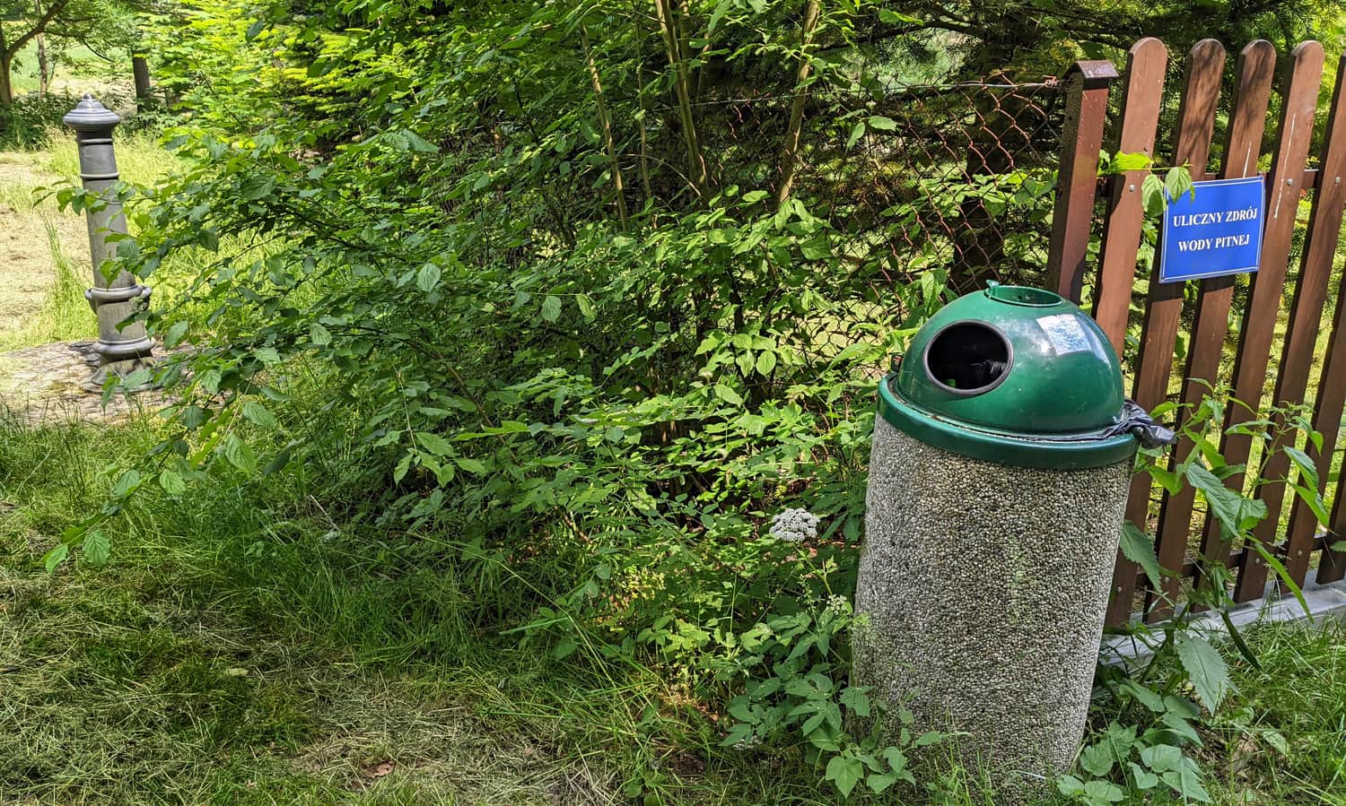
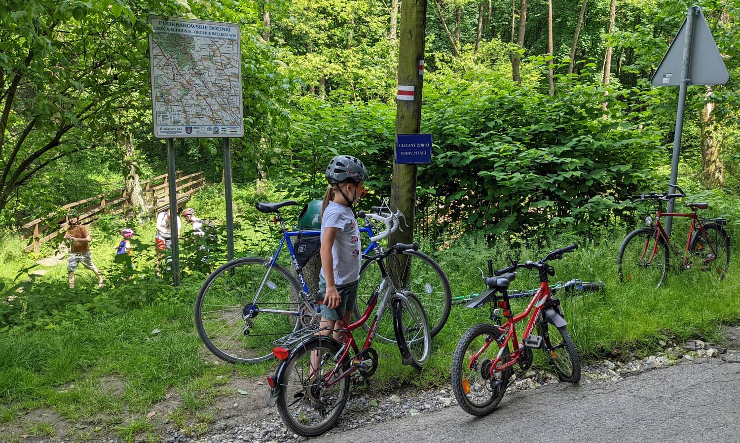
- Public drinking‑water fountains
Bike route to Ojców — shorter option
To avoid the ring‑road area or to save time and energy (for hiking in the national park), you can join the route later. A good place is Giebułtów. There is a small parking lot by the MPK bus terminal (MPK = Kraków public transport) or by the Wilczy Apetyt restaurant (for customers — plan lunch there). There is also a Park & Ride at ul. Lipowa 10, Prądnik Korzkiewski — free parking for bike renters.
Red Eagle Nests Trail on foot?
You can also do this route on foot. We suggest shortening it by taking bus line 220 from the Krowodrza Górka terminal (about 30 min) to the stop Giebułtów Morgi. From there it is about 7 km (4.3 mi) on foot through Prądnik Korzkiewski.
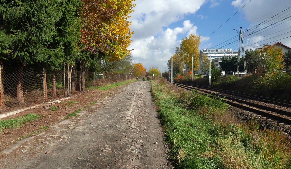
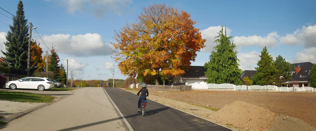
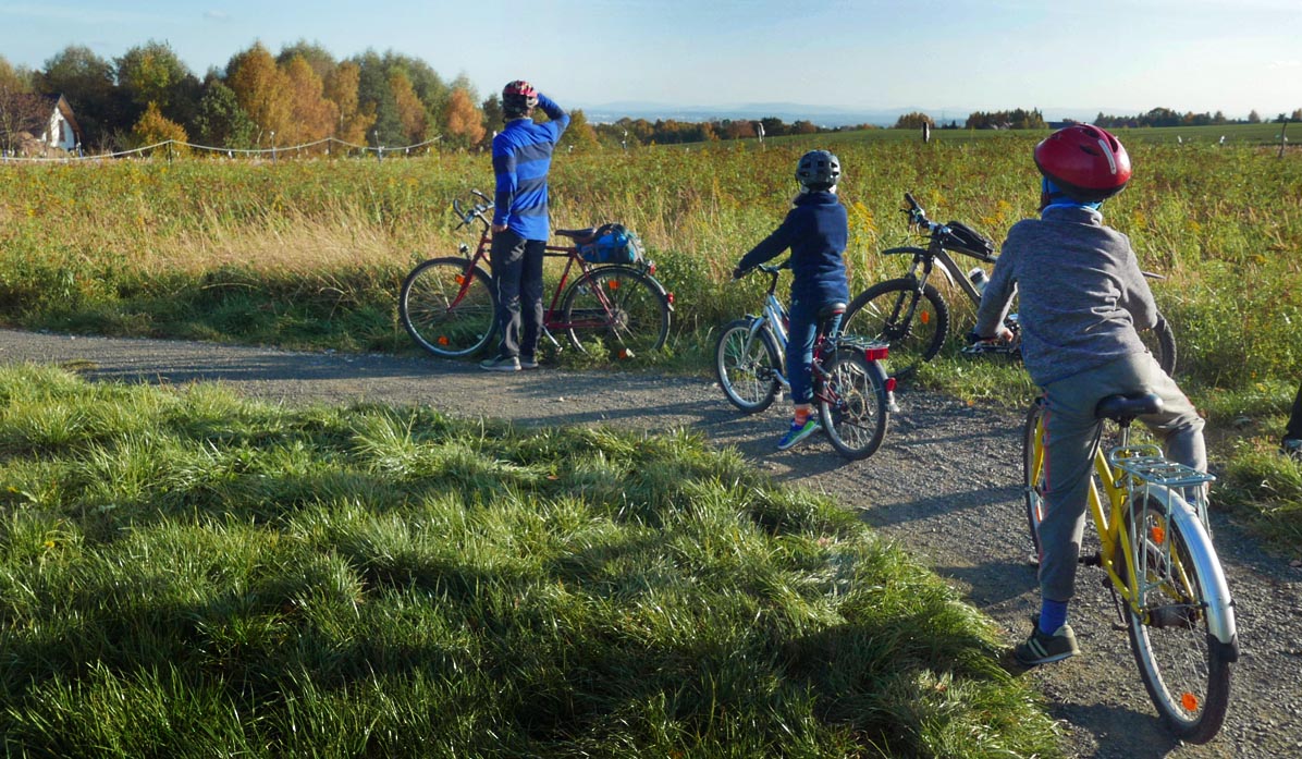
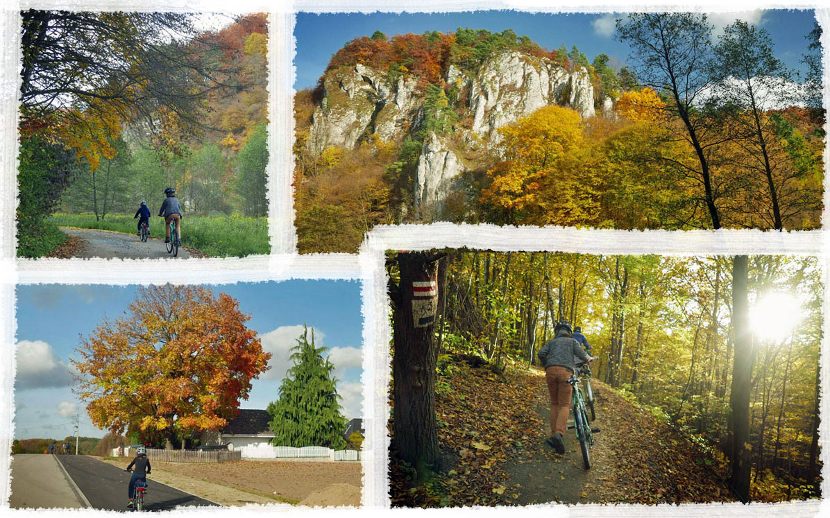
See how beautiful the Kraków–Ojców bike route looks in autumn:
Jurassic rocks — multimedia app
Did you know that when you walk through the Jurassic valleys you are on the bottom of an ancient sea? Learn the secrets of these white limestone rocks with our multimedia app Visit to the Ammonite.
PS. We included this route in our article 'Family bike routes around Kraków'. Check out the others too!
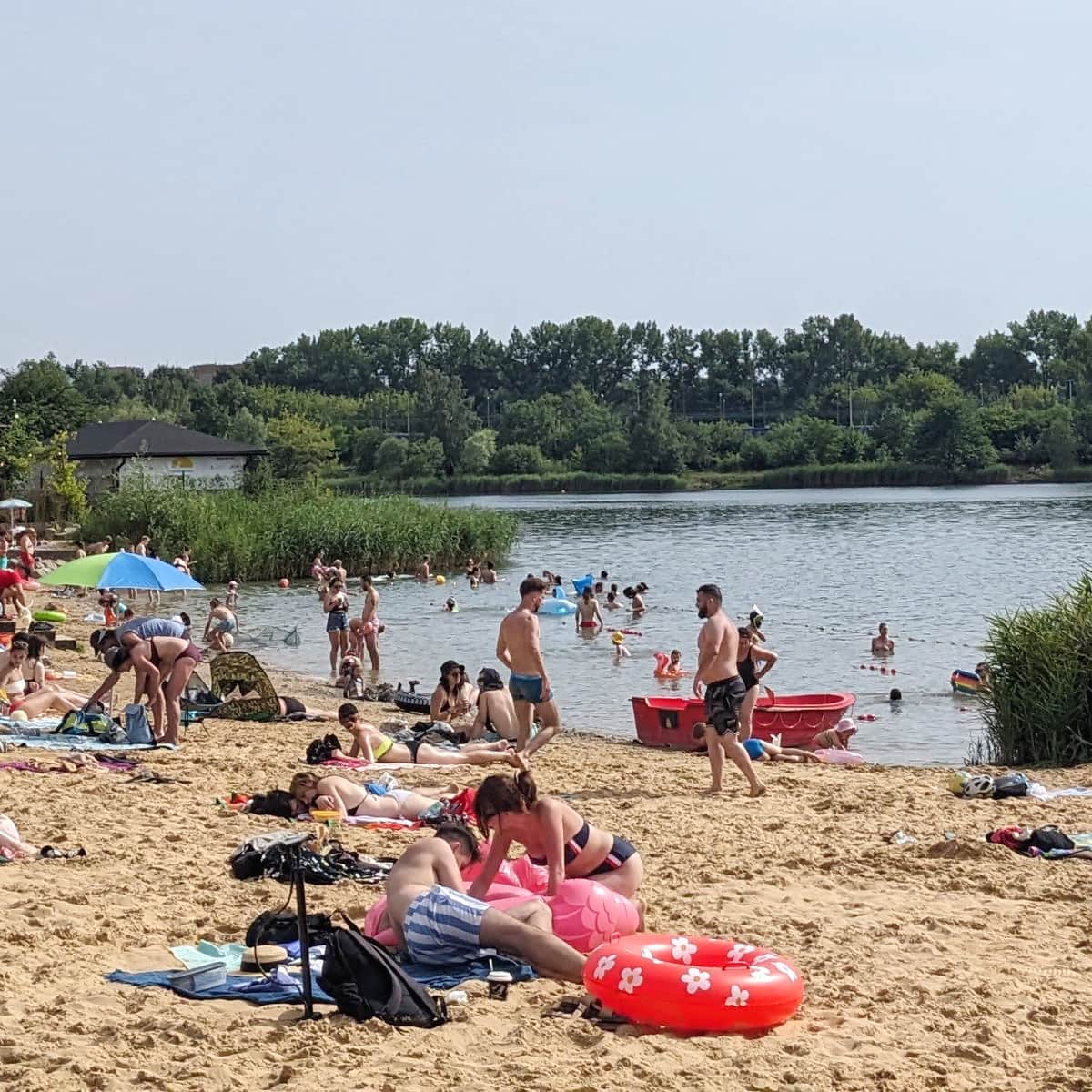
Family Bike Routes near Krakow
Are you tired of cycling on paths in urban parks? It's time to go on a family bike trip outside the city! Here are a few of our favorite and tested bike routes. ...

Publish Date:
Last Updated:
More in the Region Kraków (Cracow)