From Kozubnik to attraction-filled Mount Żar
| Distance | 2.8km |
|---|---|
| Time | 1h 47min |
| Ascents | 437m |
| Descents | 39m |
beach_access Route in the shade
restaurant Restaurant or bar nearby
directions_car Access by car
directions_bus Can be reached by bus
The black trail from Kozubnik to Mount Żar (761 m above sea level) is one of the shortest and fastest routes to this scenic, attraction-filled peak in the Little Beskids mountains in southern Poland. The trail first follows asphalt, then a forest path, with no major technical difficulties or very steep climbs.

From Kozubnik to Mount Żar
Kozubnik is a neighborhood that belongs to the village of Porąbka, set in the narrow valley of the Mała Puszcza stream. In the past, Kozubnik was known for a luxury holiday resort used by officials of the former ruling communist party. The buildings were abandoned for years and fell into ruin, but are now gradually being turned into modern apartments. You will not pass them on this black trail (to see them, drive higher up the valley), but you will have a chance to admire several historic wooden houses.
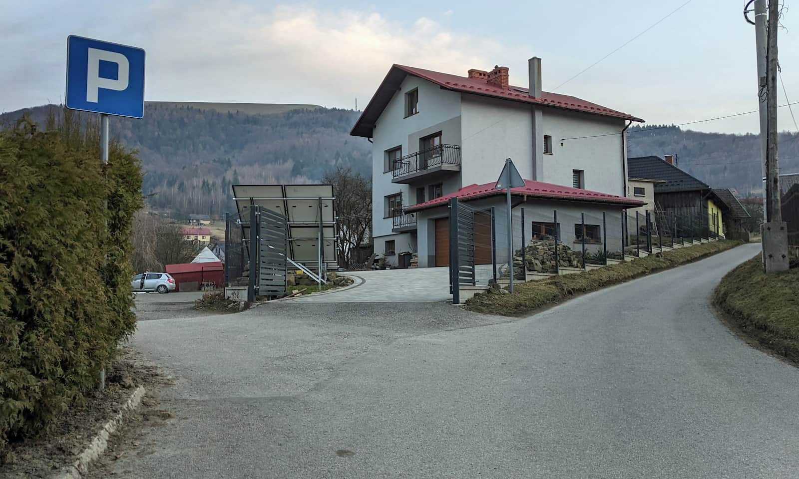
Kozubnik – getting there and parking
In Kozubnik, right at the start of the black trail, there is a bus stop served by regional buses operated by Komunikacja Beskidzka (Beskid Public Transport). If you come by car, you can park in the lay-bys along the main road, or drive a bit higher following the black trail signs on Kozubnicka Street. Just past the school there is a free parking lot for around a dozen cars.
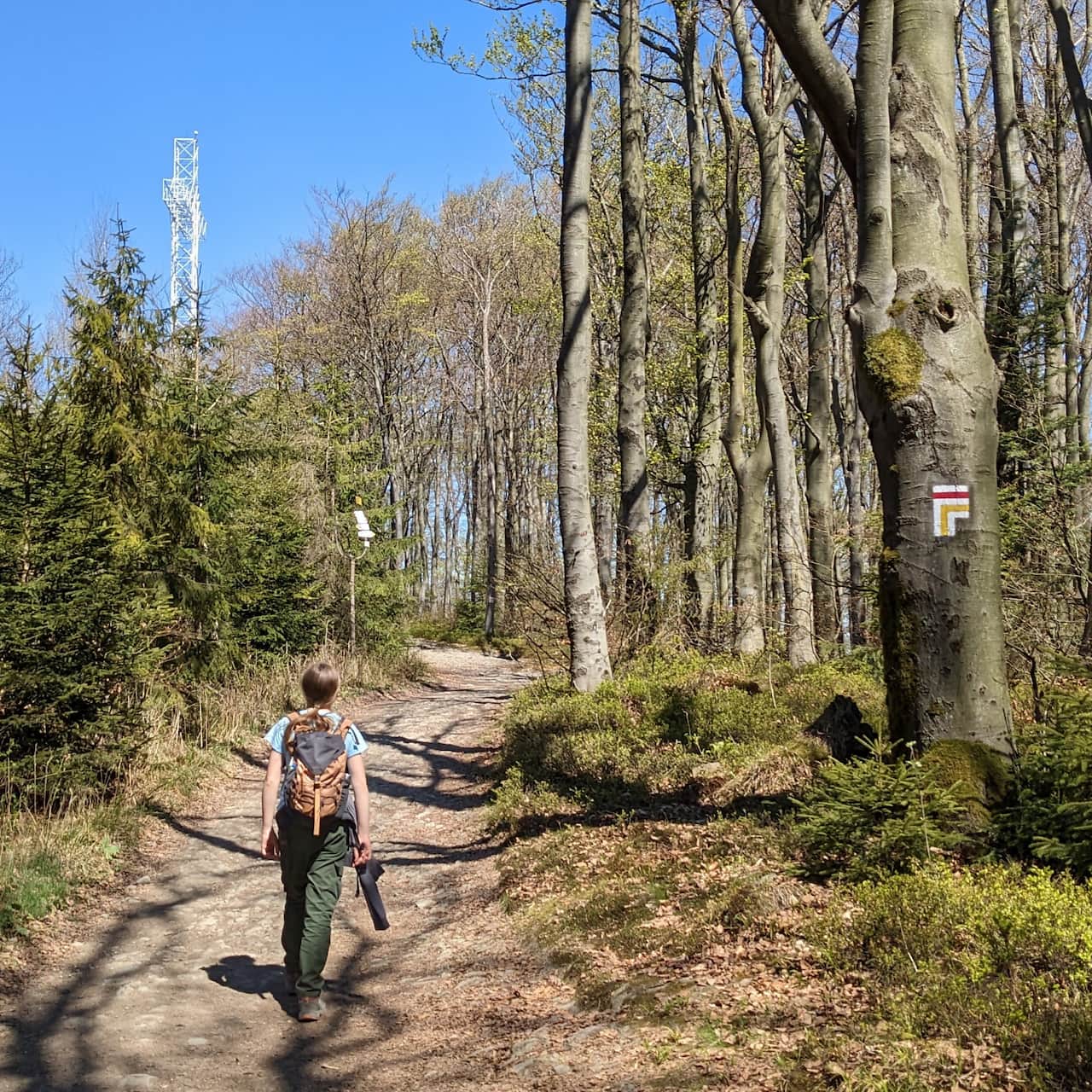
Black trail from Kozubnik to Mount Żar
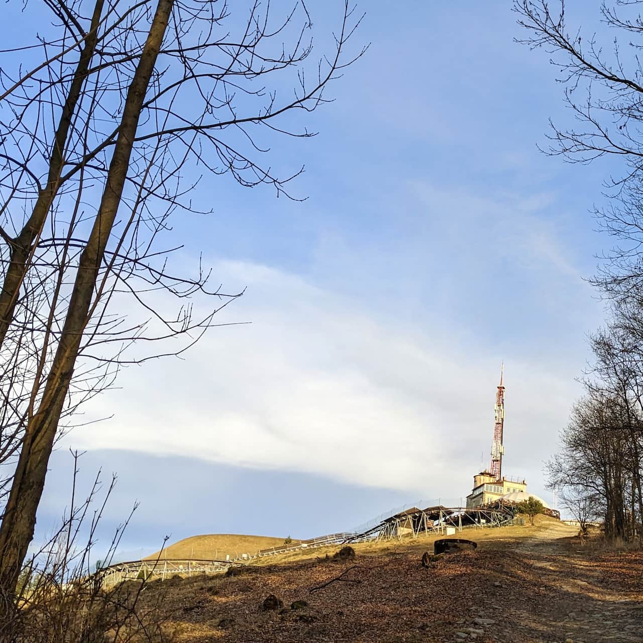
The black trail markers first lead up a village road past houses (take a look at the historic wooden cottages). From here you can already see the day’s goal: the flattened top of Mount Żar and the tower next to the power plant.
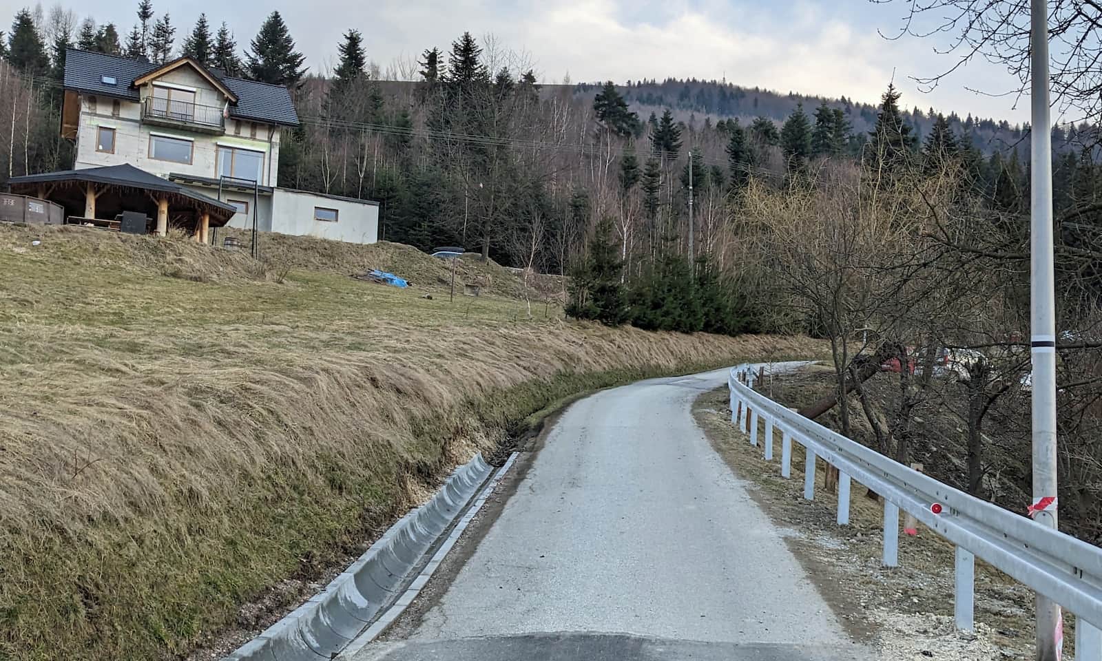
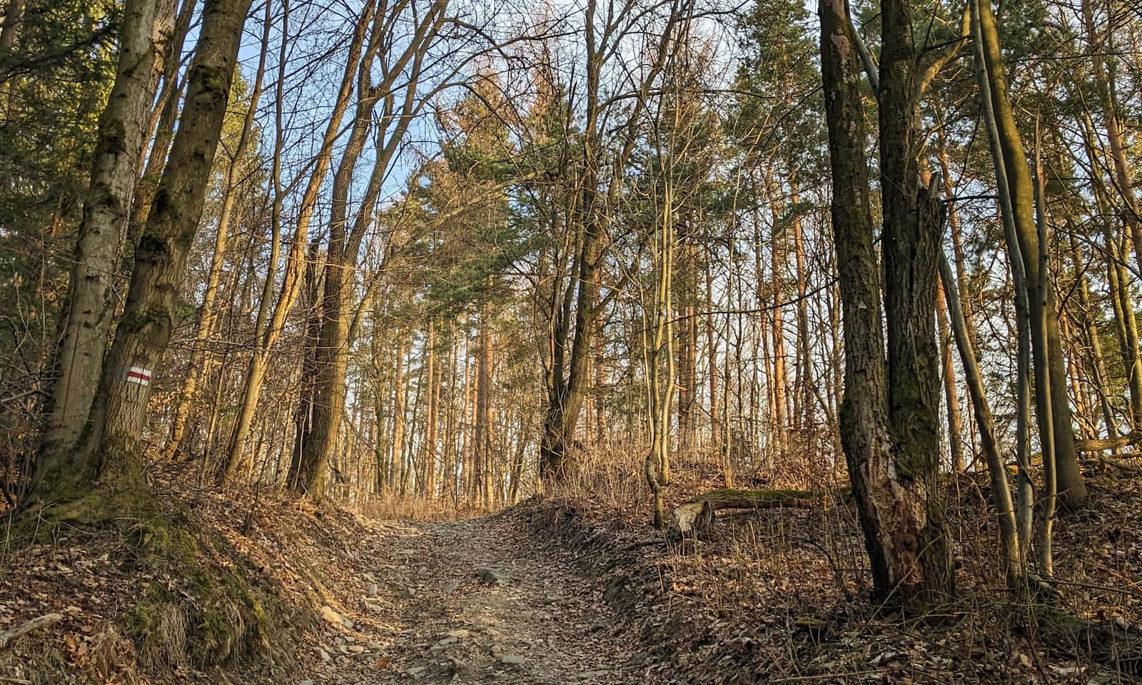
After you enter the forest, you climb along the stream: first still on asphalt (Konarowa Street), then you soon turn left onto a stony forest path.
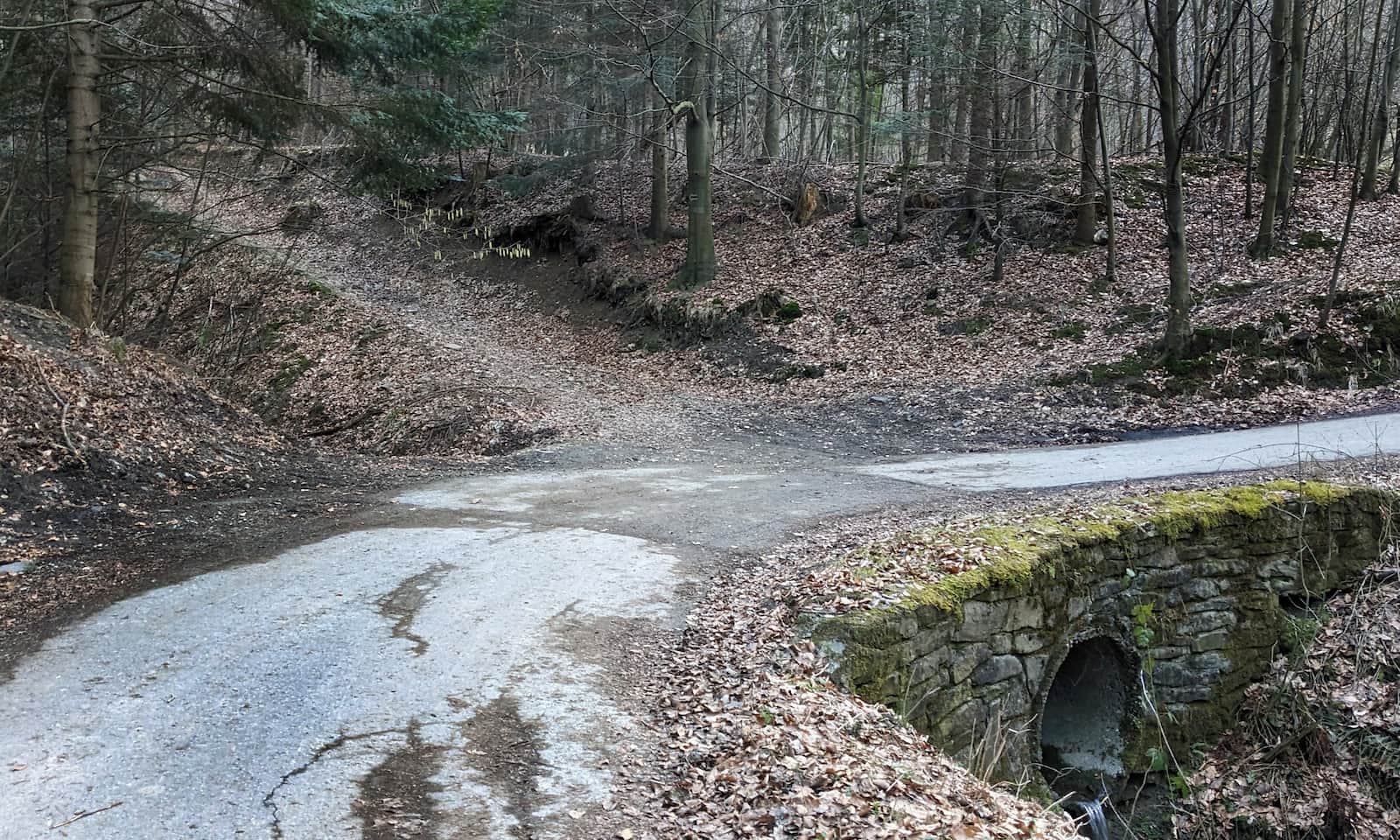
Right by the trail on the left, notice a traditional regional structure called a letniok: a stone shed with a wooden roof, very typical for local architecture and rarely preserved in such good condition. Next to it there is a large meadow used as one of the landing zones for paragliders who take off from the summit of Mount Żar.
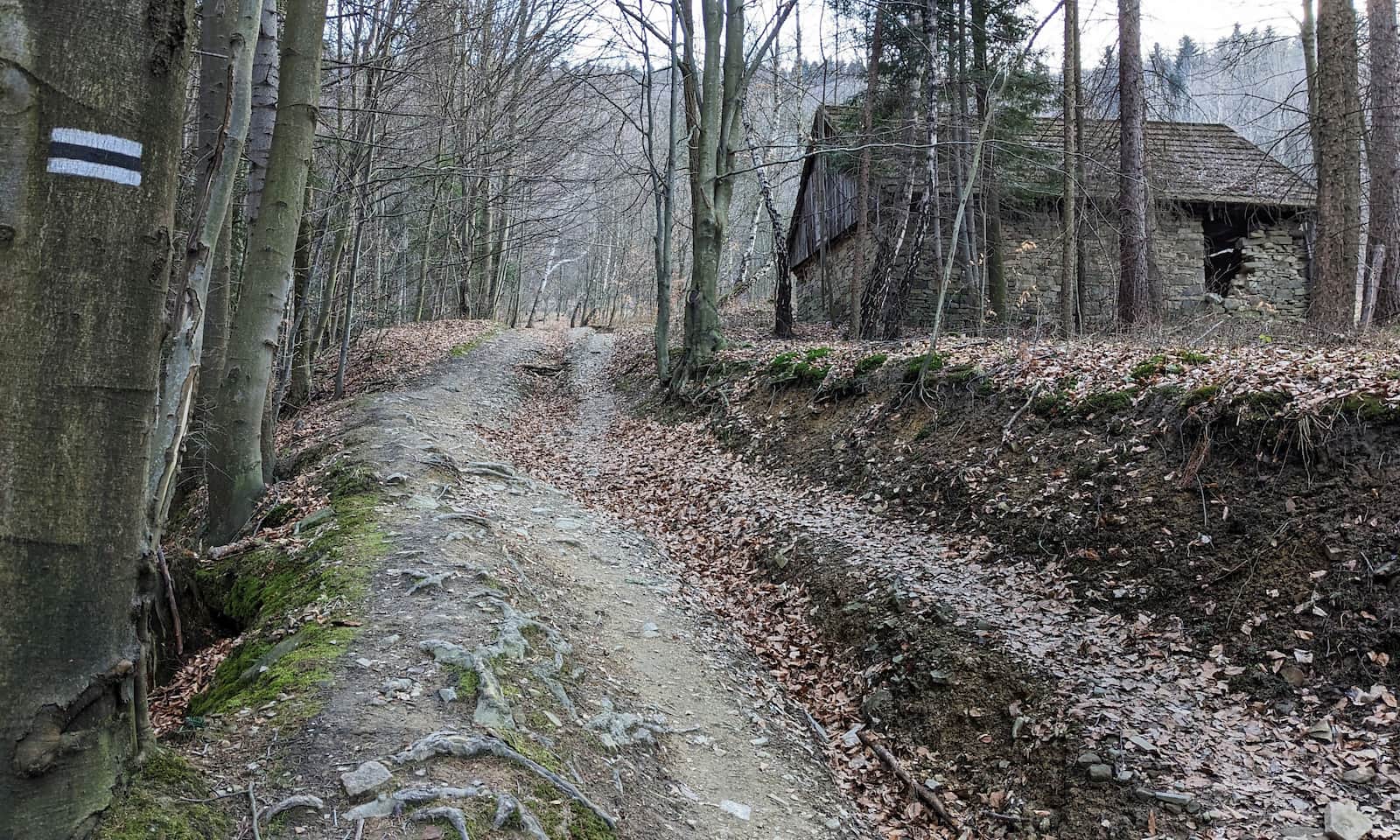
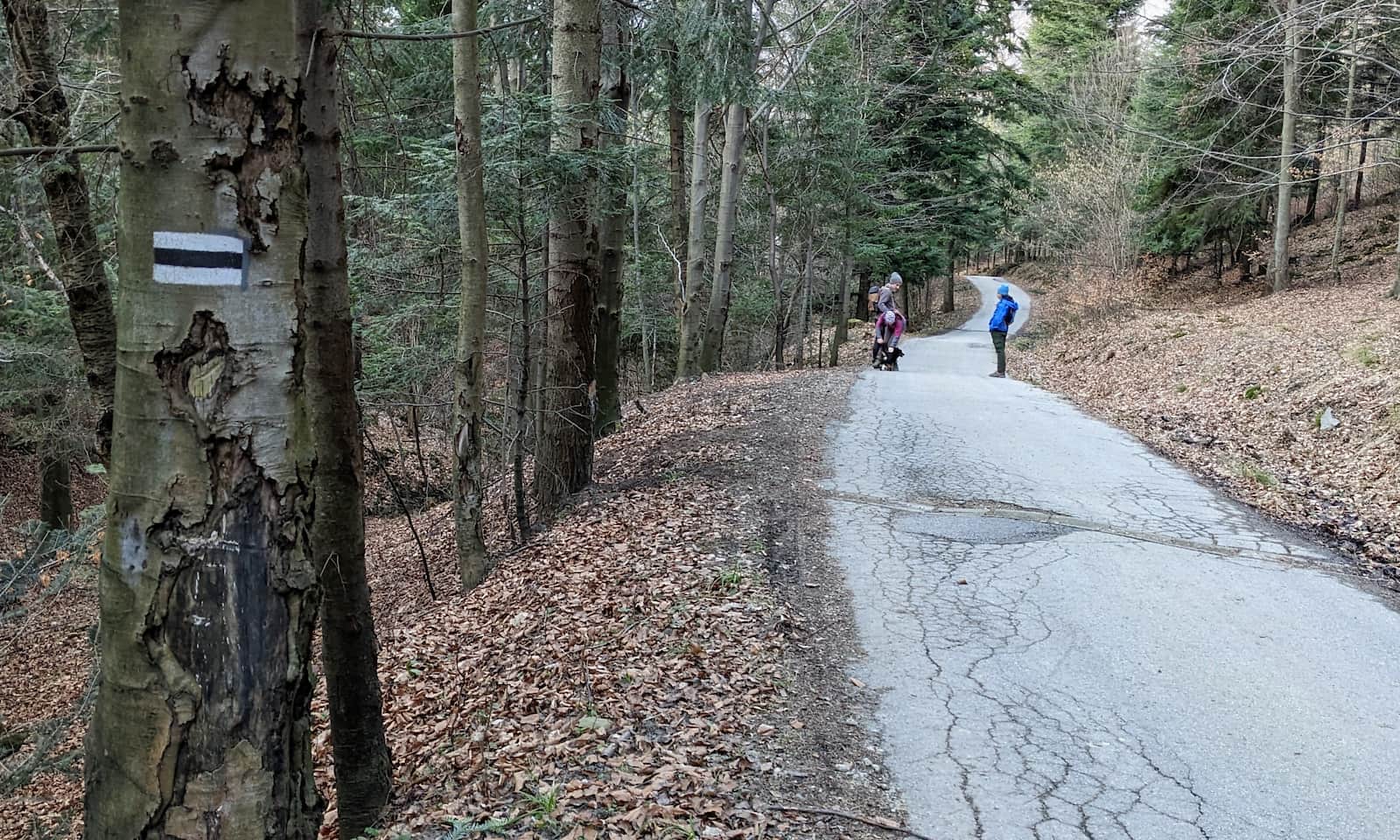
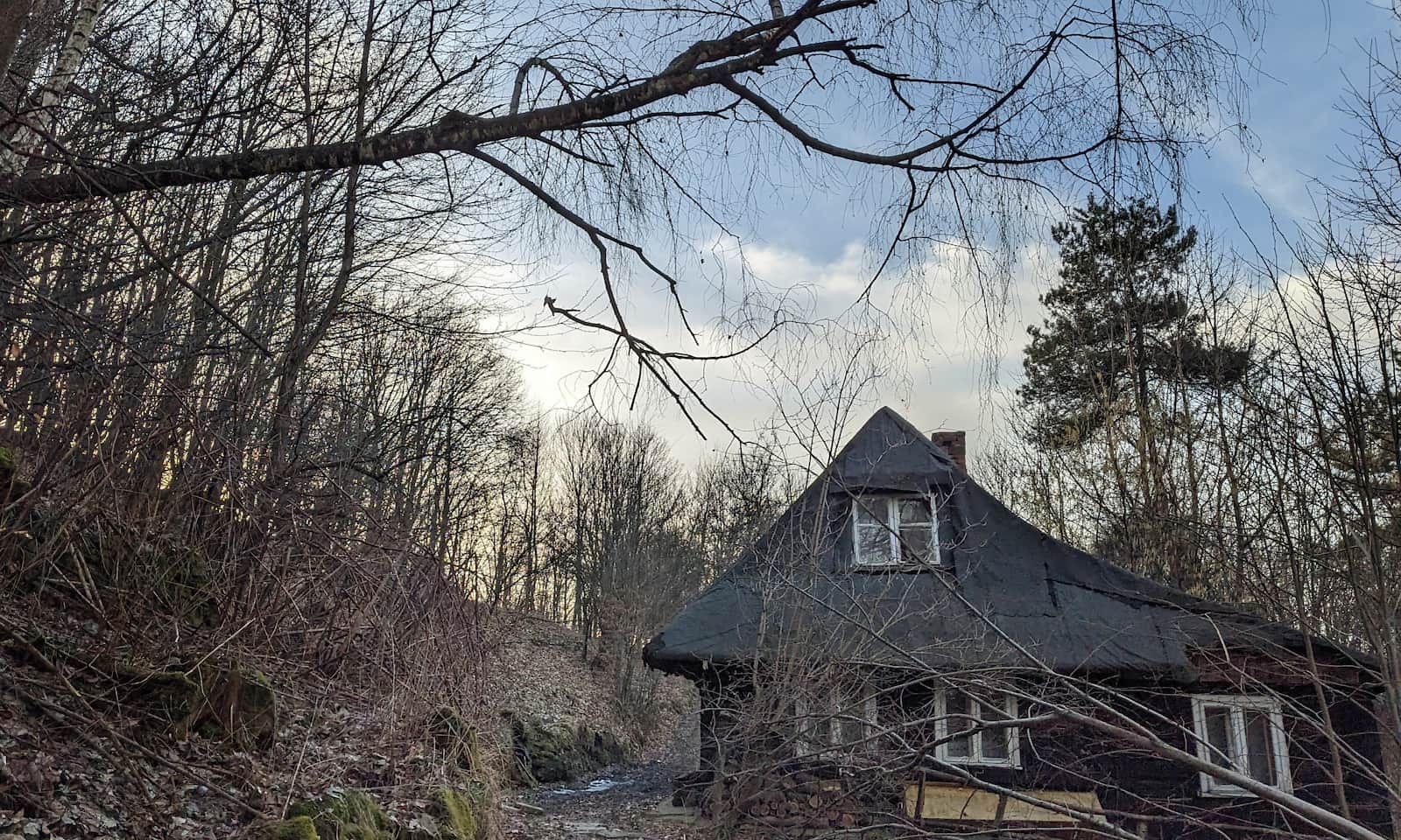
The black trail now climbs the steep northern slope of Żar, but the path makes wide, comfortable switchbacks. Just before you reach the red trail, you will pass a lonely old wooden farmstead.
Black and red trails to Mount Żar
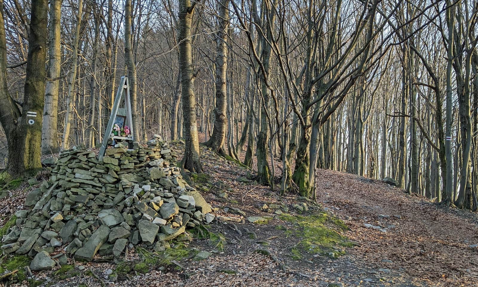
The black trail ends at a small roadside chapel, where it meets the red markers of the Little Beskids Trail (Mały Szlak Beskidzki, a long-distance route). Turn left here and follow the red trail to the summit (about 800 m more).
Mount Żar – attractions and views
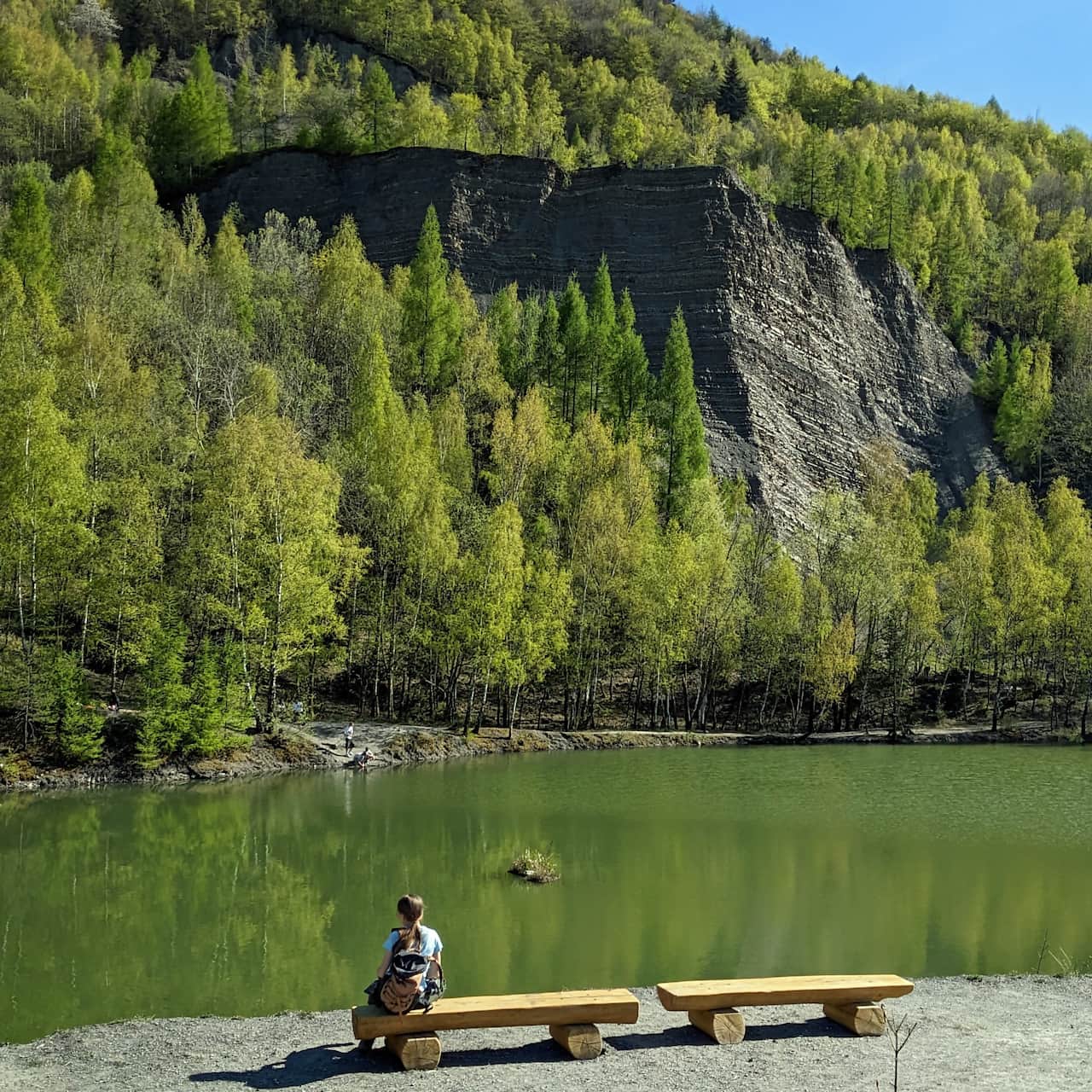
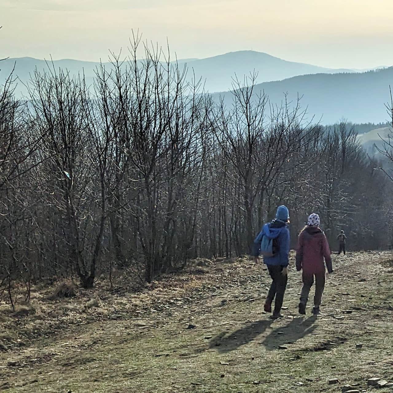
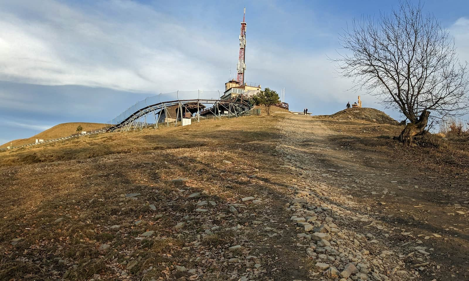
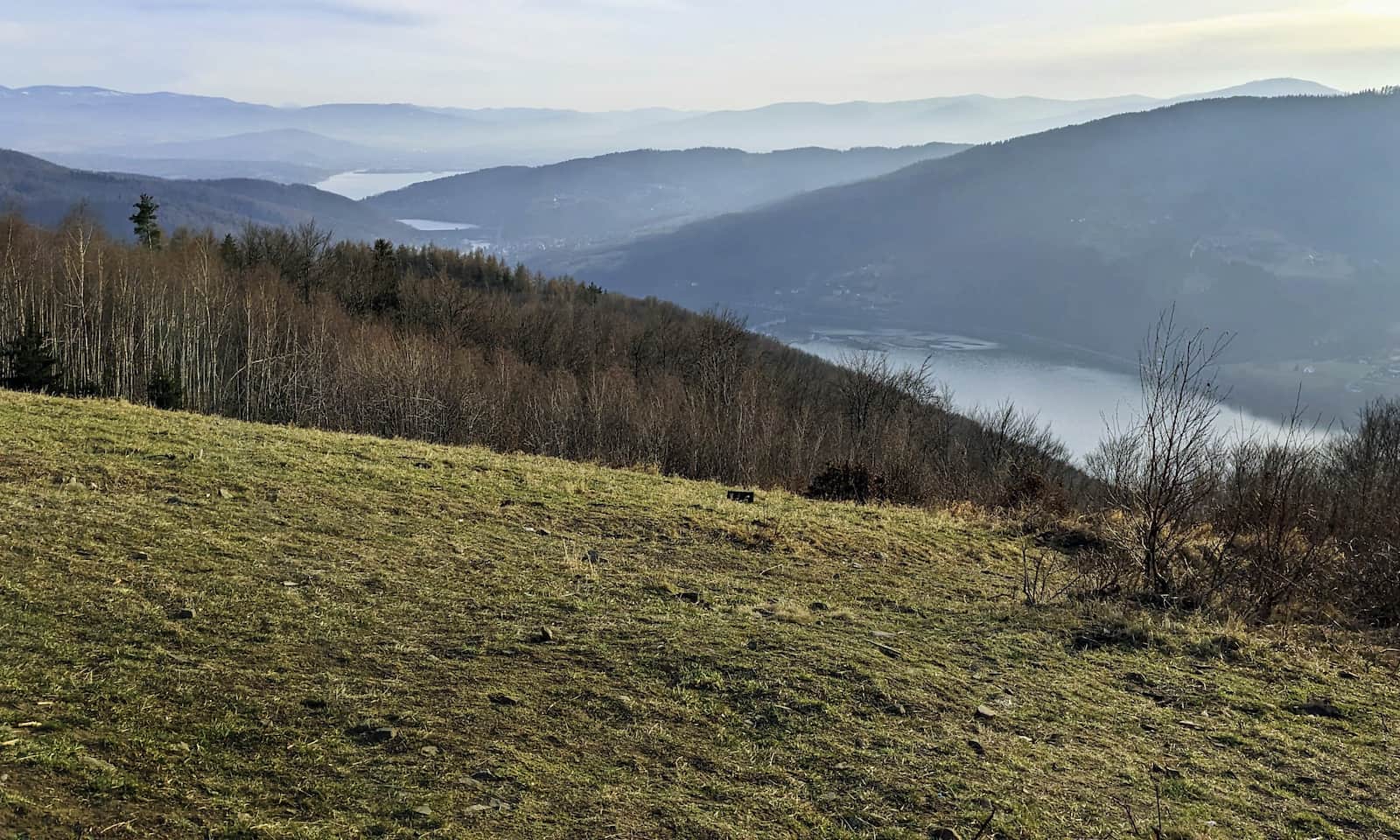
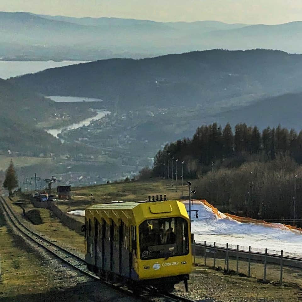
You reach the top of Mount Żar from the northwest, so first you will see a tall tower and a summer toboggan run. Soon after you will find the new giant bench and all the other attractions: food stands, the upper station of the funicular railway, the reservoir of the pumped-storage power plant, and most of all the amazing viewpoint meadows. The panorama stretches over the Little Beskids and the Soła River gorge, as well as the more distant peaks of the Silesian and Żywiec Beskids.
For more about Mount Żar attractions, facts and curiosities, and descriptions of other trails to the top, see here:
Żar Mountain – All Trails and Attractions
Góra Żar (761 m a.s.l. / 2,497 ft) is one of the most developed and attraction-packed, yet easy-to-reach places in the Żywiec Beskids. How do you get to the top — on foot, by funicular, with a stroller, or by bike? What views and attractions await you here? ...

More in the Region Beskid Mały (Beskid Mały)