Żar Mountain – All Trails and Attractions
Town: Międzybrodzie Żywieckie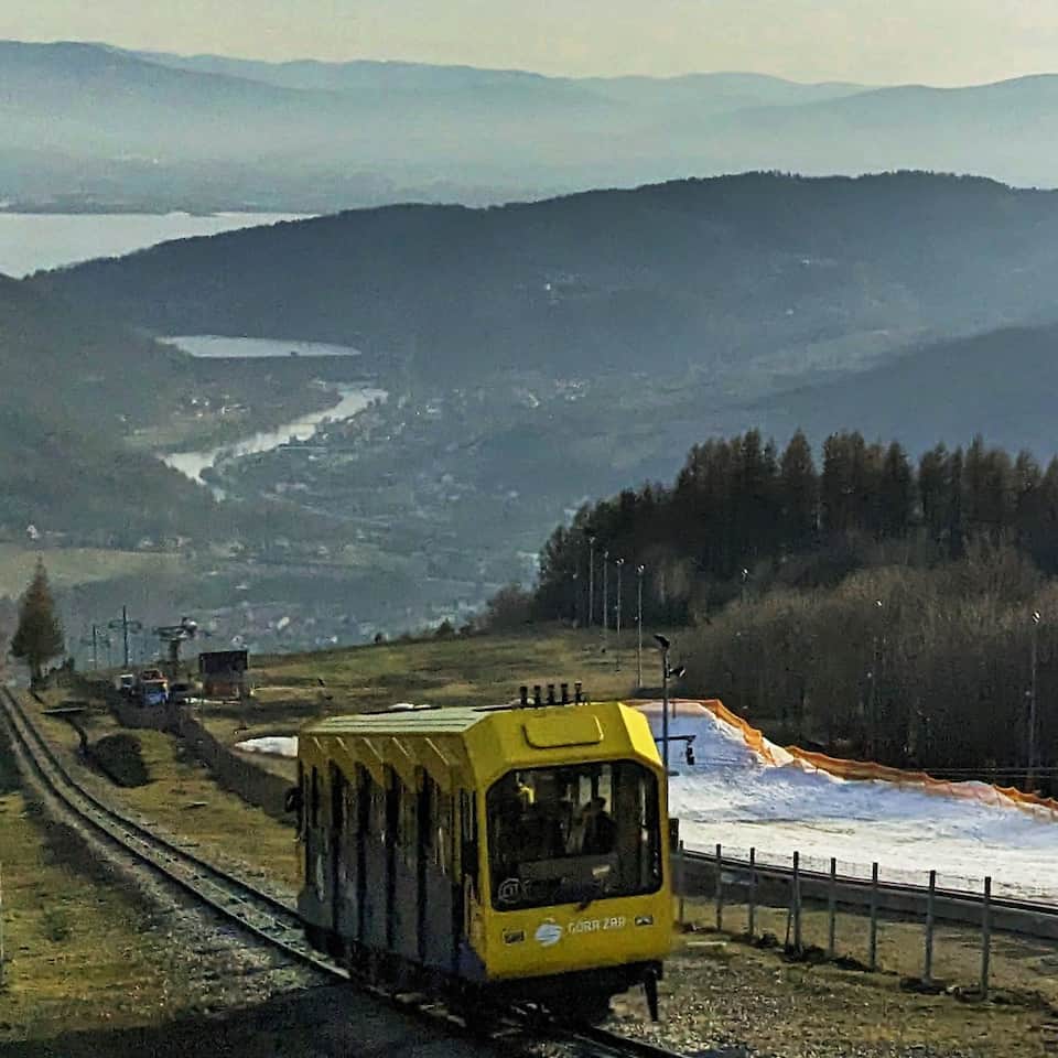
check_circle Slopes
check_circle Mainly in the sun
check_circle Attractions for children
check_circle Restaurant or bar nearby
check_circle Convenient parking
check_circle Accessible by bus
check_circle Toilet available
Góra Żar (761 m a.s.l. / 2,497 ft) is one of the most developed and attraction-packed, yet easy-to-reach places in the Żywiec Beskids. How can you get to the top of Góra Żar — on foot, by funicular, with a stroller, or by bike? What views and attractions wait for you here?
Góra Żar — facts and trivia
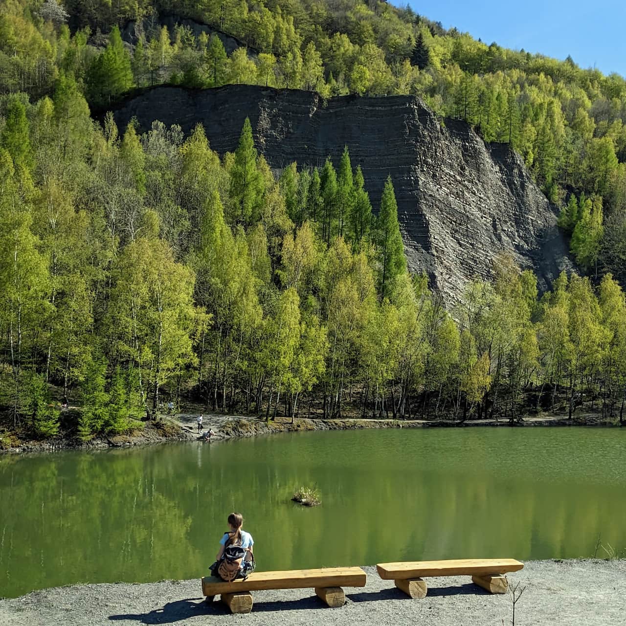
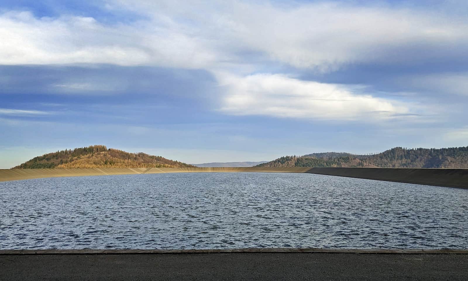
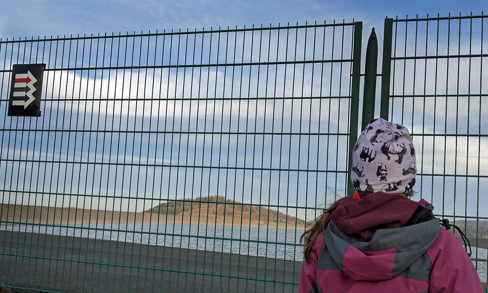
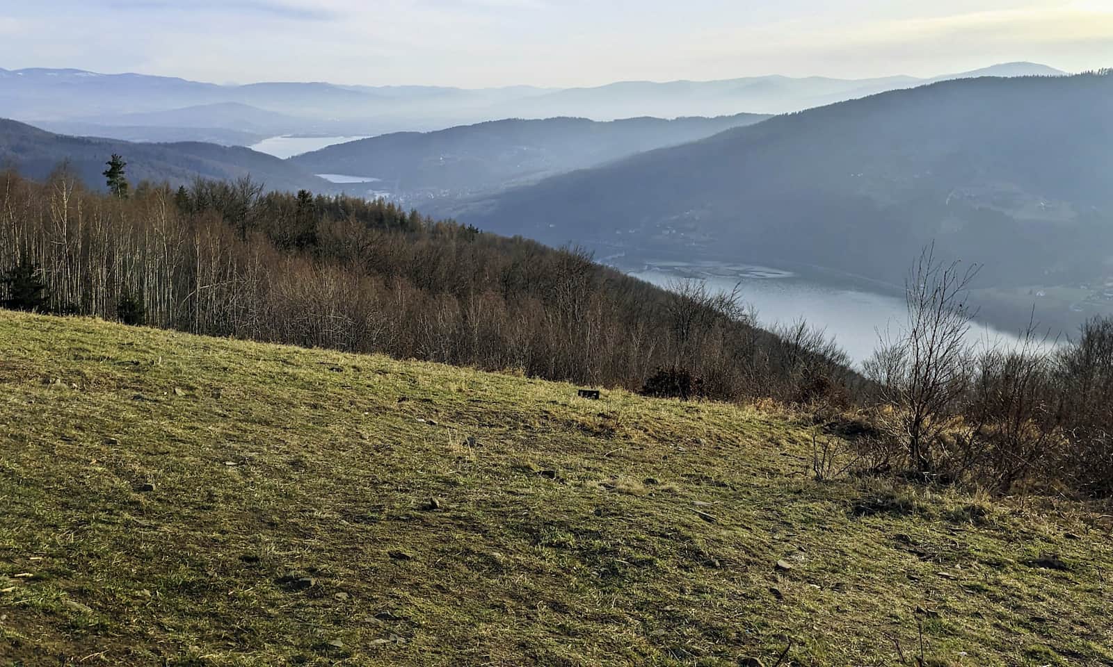
Góra Żar is famous for the large artificial water reservoir of a pumped-storage power plant at its summit. Thanks to this, you can easily recognize its flat top rising above the area.
The reservoir and the power plant’s installations, including two tunnels carved in rock (almost 900 m/0.56 mi long and 4 m/13.1 ft in diameter), were built in 1969–1977. Their construction led to the closure of the local gliding school (operating since the 1930s), where Mirosław Hermaszewski, Poland’s first astronaut, trained.
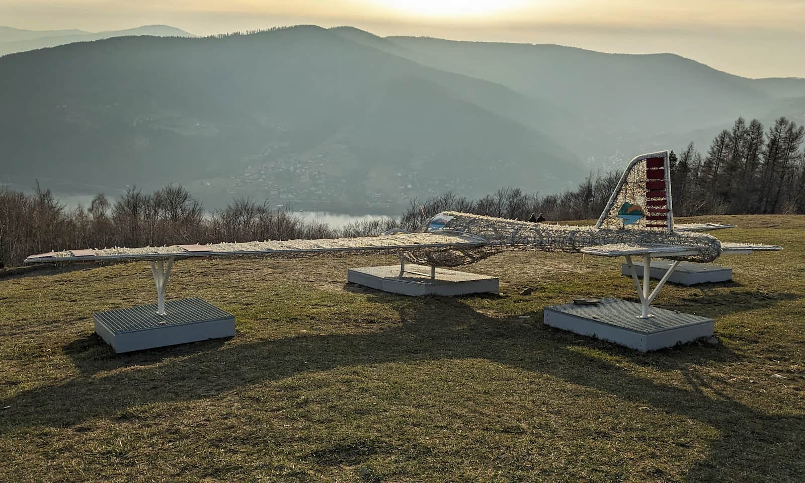
Today you can still see gliders soaring above Żar, but they now take off from a different airfield. The meadows on Żar are mainly used by paragliders. They nicknamed this place the "aquarium" — colorful wings look like fish moving not in water, but in the blue sky above the water.
Did you know the landscapes of Góra Żar, along with its gliders and paragliders, appear in the Polish adventure film "Latające machiny kontra Pan Samochodzik" (1991)? It’s fun to watch before or after your visit.
All attractions on Góra Żar
The power plant, gliders, and paragliders are not the only attractions here! If you like a bit of adrenaline but prefer to stay close to the ground, try the year-round alpine coaster or several downhill mountain bike trails ("singletrack").
Everyone can enjoy plenty of places to eat (a restaurant and food trucks), take a photo on the "giants’ bench", and above all, admire the beautiful views!
Trails to Góra Żar — how to reach the top?
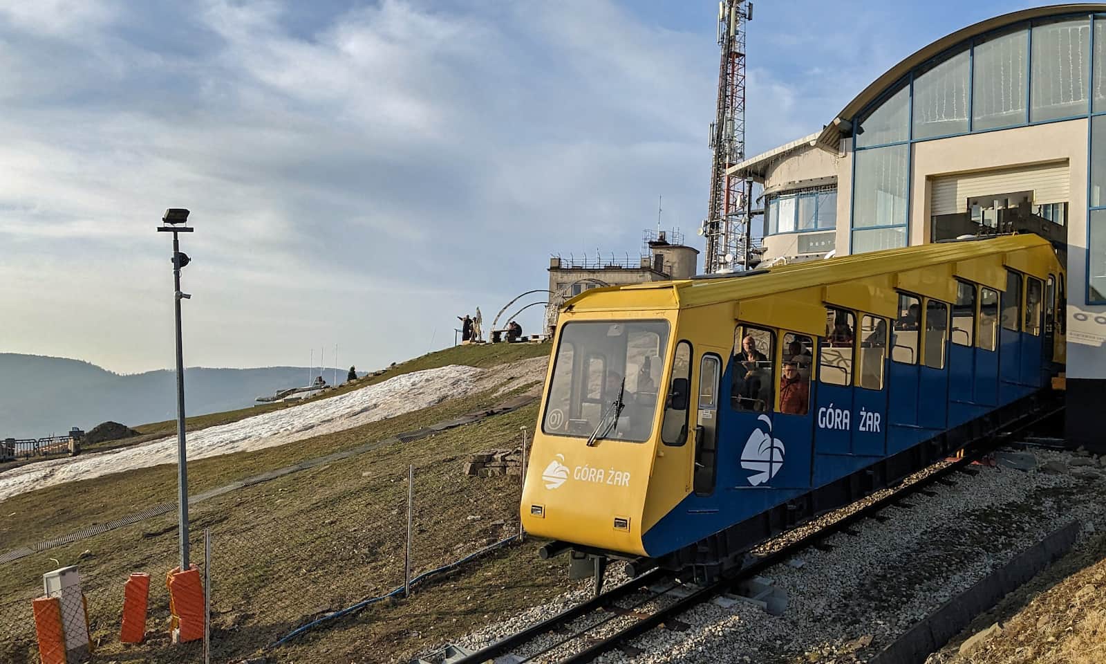
There are many ways to get to the top of Góra Żar. The easiest and fastest is the funicular railway.

By funicular to Żar
The funicular goes up from Międzybrodzie Żywieckie. The line is 1,300 m (0.8 mi) long and the ride takes about 5 minutes. You can take a baby stroller, a bicycle, and a dog (on a leash and with a muzzle) into the carriage.
By car, bike, or stroller?
A comfortable asphalt access road, ul. Górska (about 5 km/3.1 mi), leads right to the top of Góra Żar. Note: only power plant employees are allowed to drive up by car!
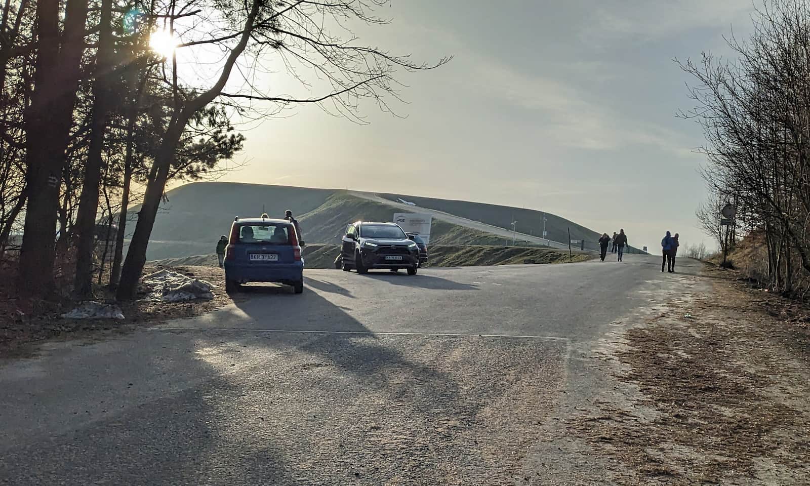
You can ride a bike up this road, but be prepared: the climb is over 300 m (984 ft). The asphalt route is also suitable for strollers; walking one way takes about 2 hours.

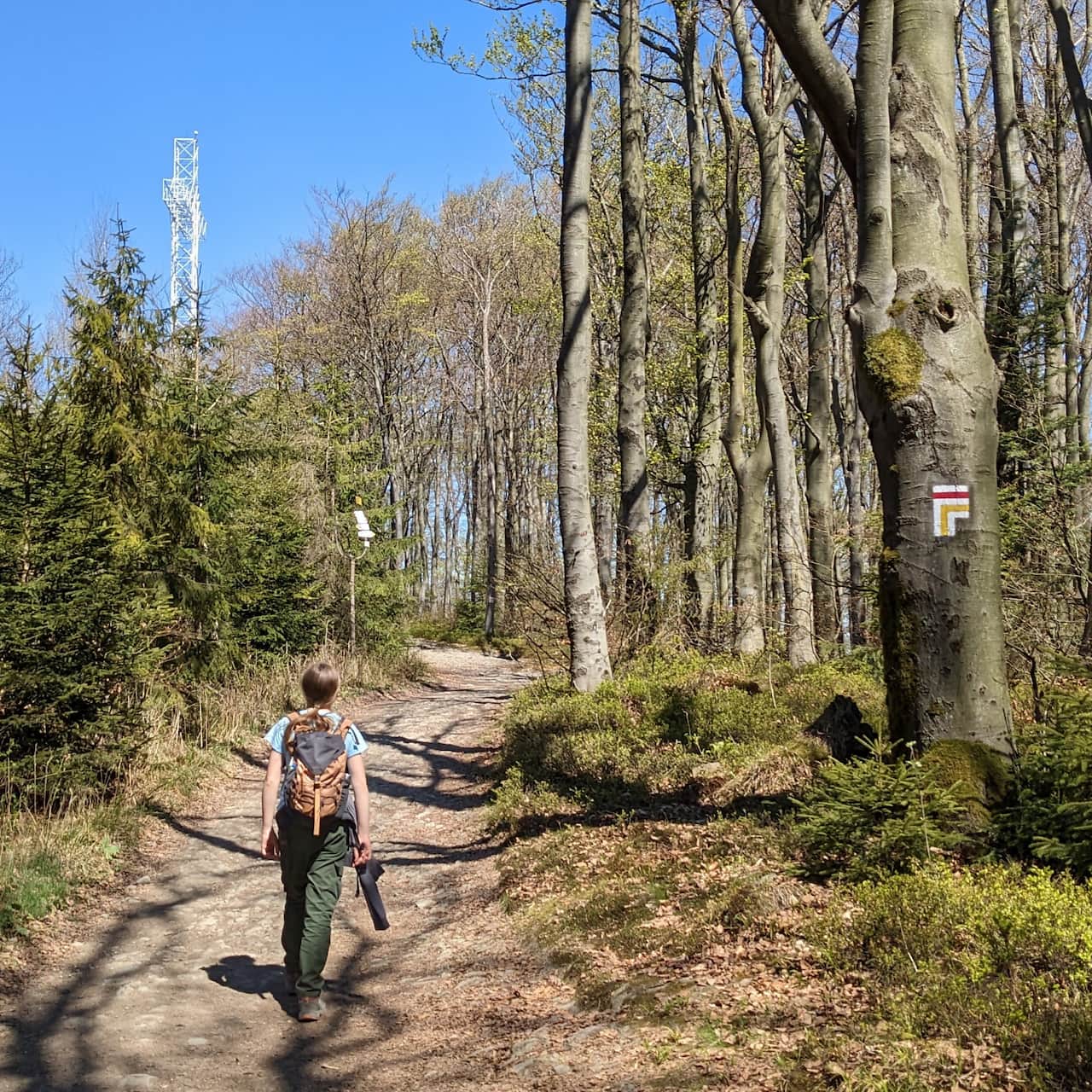
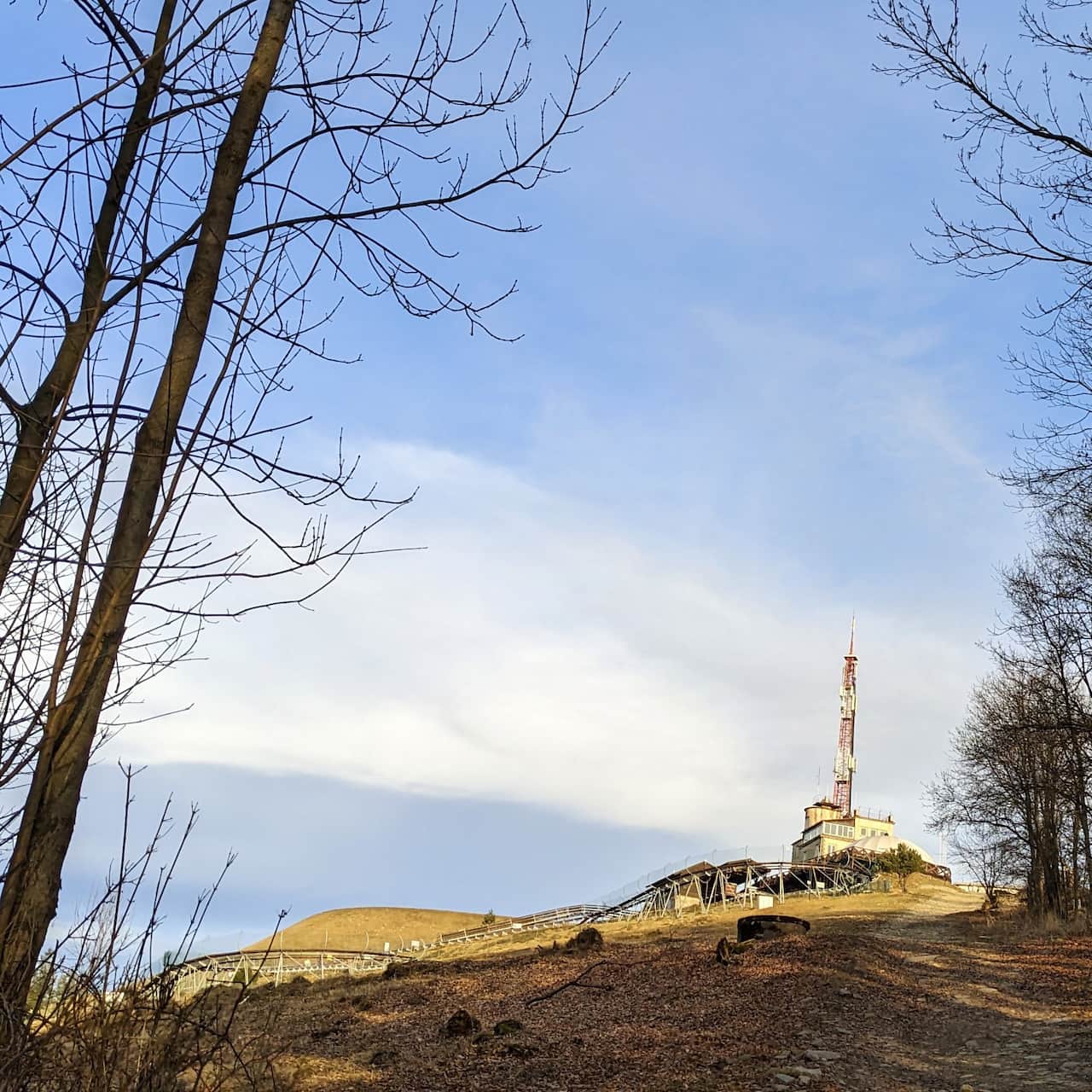
Shortest trail to Góra Żar
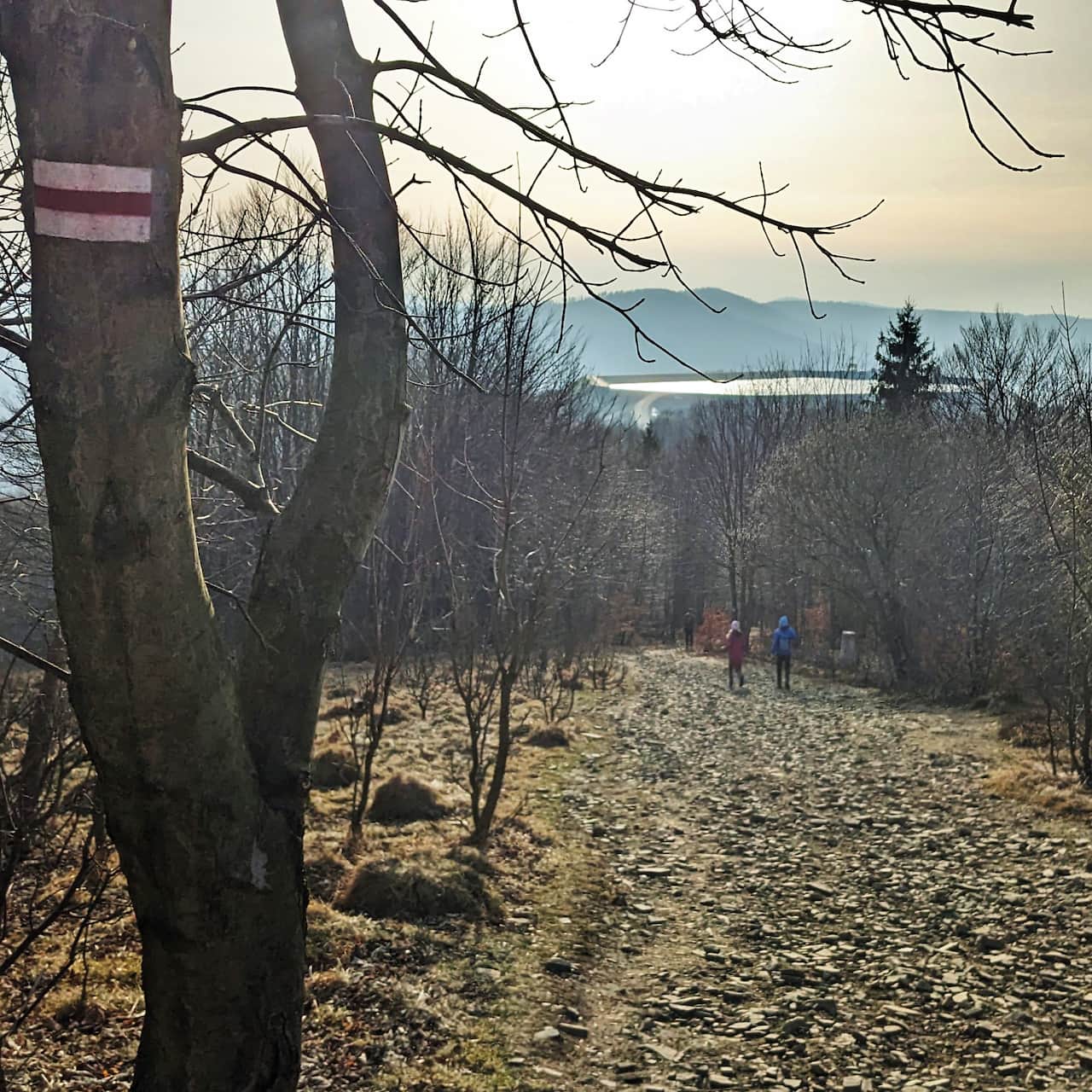
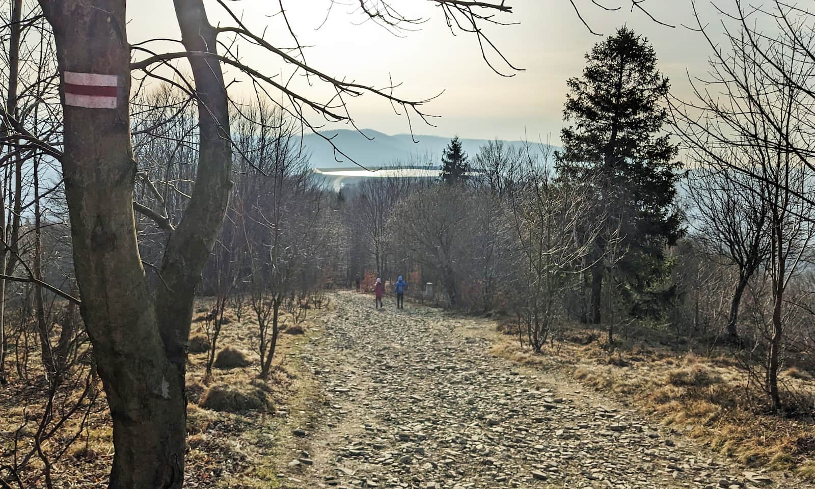
The shortest walking route follows the funicular, from the lower to the upper station (black trail). It’s only 1,800 m (1.1 mi), but the elevation gain is 300 m (984 ft).

Recommended trail to Góra Żar
A little longer is the black trail from Kozubnik to Żar — just under 3 km (1.9 mi) from the bus stop, or about 2.5 km (1.6 mi) from the parking lot. The elevation gain is slightly bigger, but the path is less steep than along the funicular line. It takes about 1.5–2 hours to hike up.
Medium
From Kozubnik to attraction-filled Mount Żar

Other trails to Góra Żar
You can also hike up via:
- the red trail from Żarnówka Mała (bus stop): 3.8 km (2.4 mi), 470 m (1,542 ft) elevation gain, 1:45 h one way
- the red trail from Przełęcz Kocierska (Kocierska Pass): 8.5 km (5.3 mi), 320 m (1,050 ft) elevation gain, 2:40 h one way
- the green trail from the center of Międzybrodzie Żywieckie: 7 km (4.3 mi), 500 m (1,640 ft) elevation gain, 2:40 h one way
- the yellow trail from Porąbka to Kiczera + the red trail from Kiczera to Żar: 6.5 km (4.0 mi), 570 m (1,870 ft) elevation gain, about 2.5 h one way.
- the yellow trail from Wielka Puszcza (Raztoka) to Kiczera + the red trail from Kiczera to Żar: 5.5 km (3.4 mi), 450 m (1,476 ft) elevation gain, about 2 h one way.
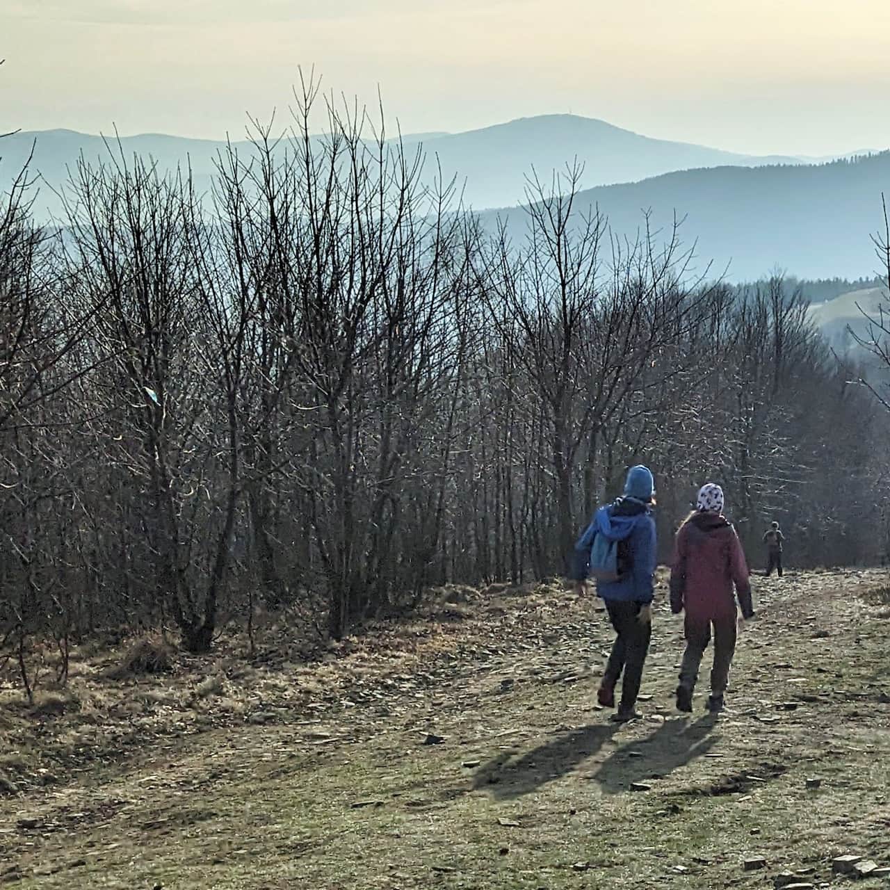
Tip: Scenic walk from Żar to Kiczera
Once you reach the top of Góra Żar (on foot or by funicular) and want even more views — including a bird’s-eye look at the reservoir — take a short, easy walk from Żar to Kiczera.
Easy
Żar and Kiczera – two scenic peaks in the Little Beskids


More in the Region Beskid Mały (Beskid Mały)