Kiczera from Porąbka — trail to the most scenic peak of the Little Beskids
| Distance | 4.3km |
|---|---|
| Time | 2h 30min |
| Ascents | 576m |
| Descents | 58m |
beach_access Route in the shade
directions_car Access by car
directions_bus Can be reached by bus
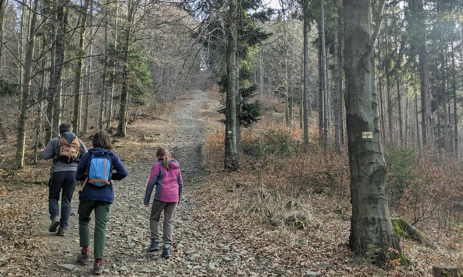
The yellow trail from Porąbka to the scenic summit of Kiczera (827 m a.s.l.) in the Little Beskids (Beskid Mały, southern Poland) is of medium difficulty. Most of the route follows a comfortable forest road, but be ready for three sections with fairly steep climbs.
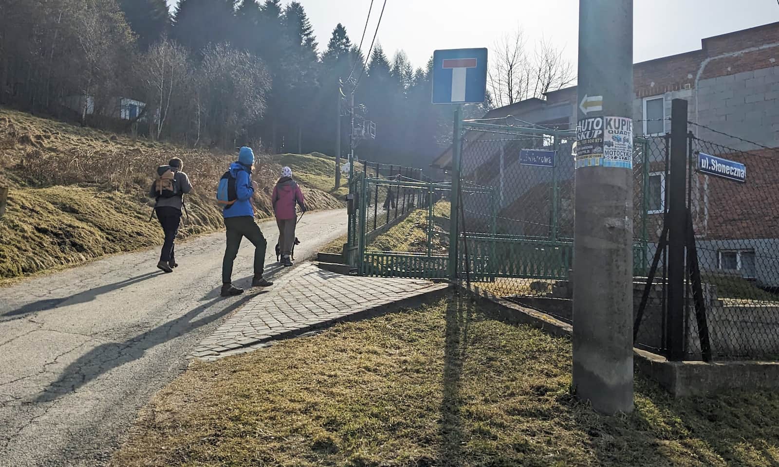
Trail from Porąbka to Kiczera – getting there and parking
The yellow trail starts in the center of the village of Porąbka (you can get here by Komunikacja Beskidzka, the local bus network). There are several public parking areas, for example near the point where the Wielka Puszcza stream flows into the Soła River. To begin, follow Smrekowa Street and Świerkowa Street:
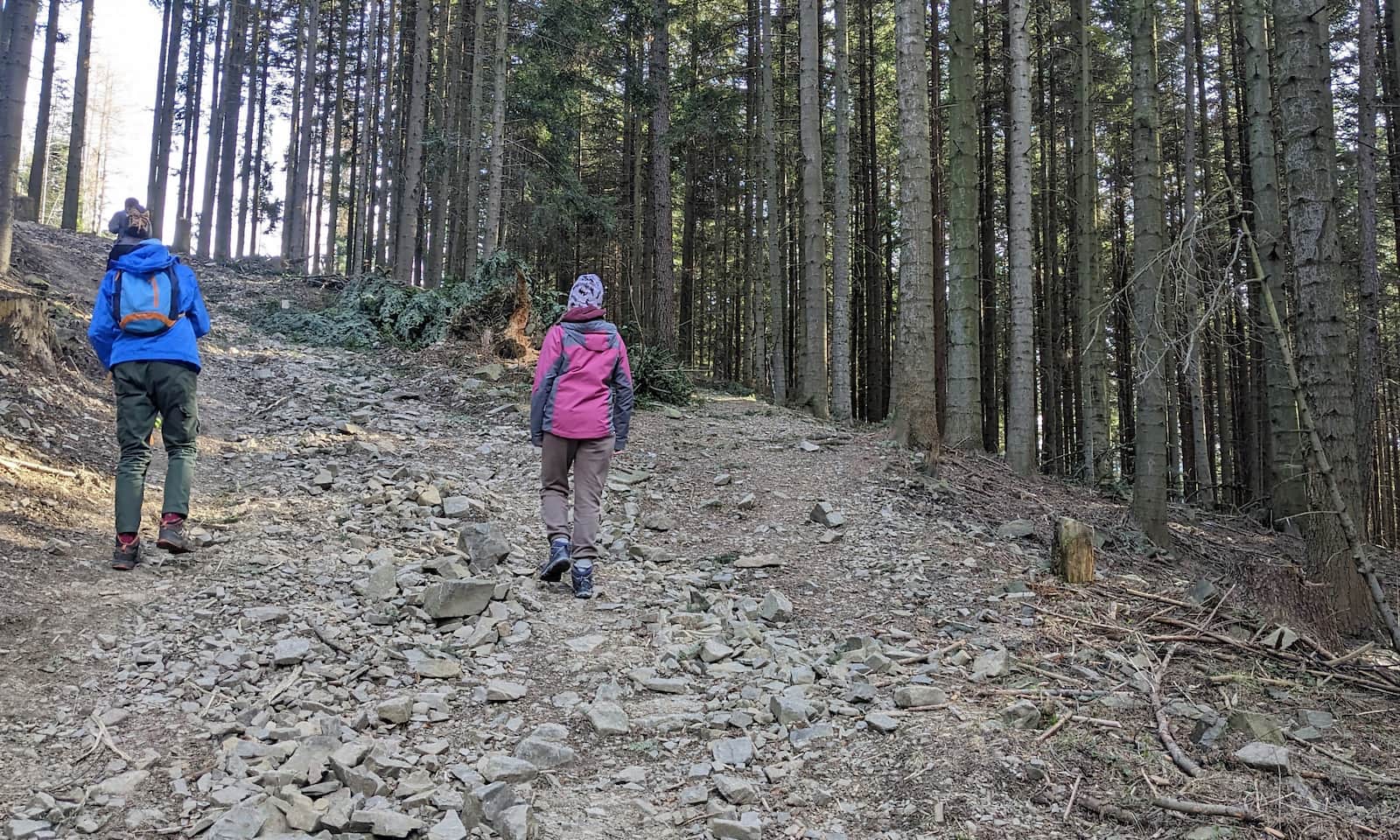
After entering the forest, a fairly steep ascent on a stony road awaits. The slope is so steep that there used to be a ski jump here! People say the takeoff ramp can still be found in the woods.
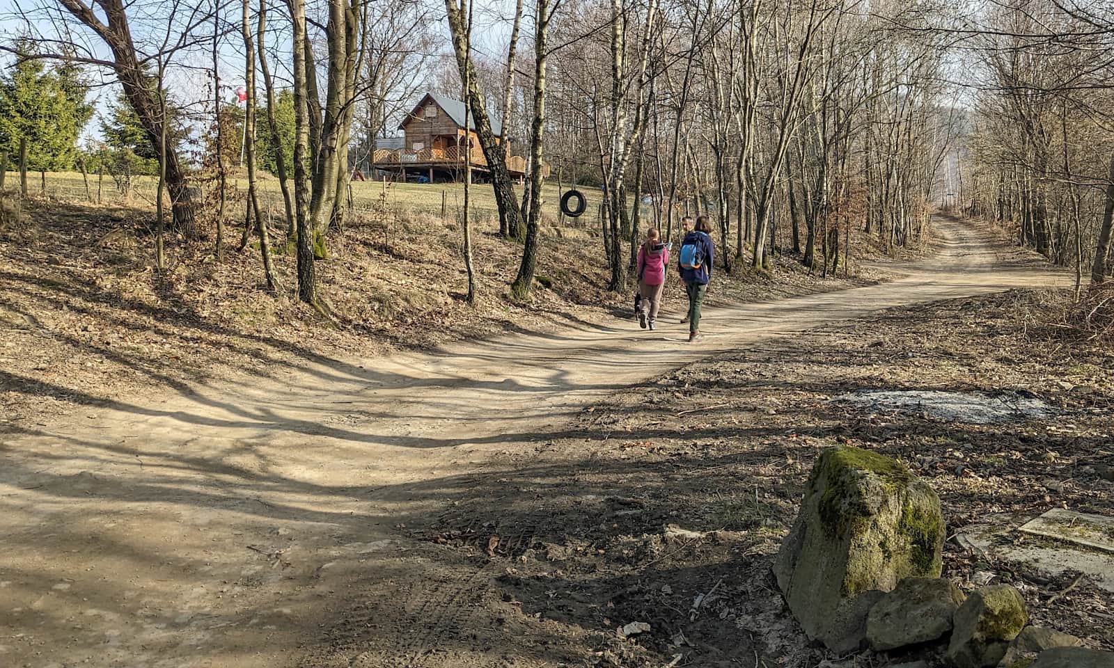
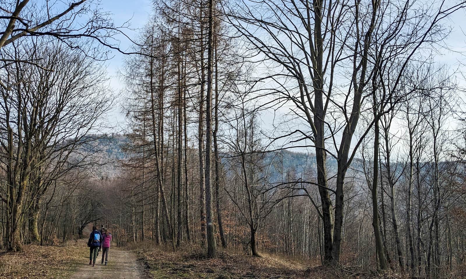
After the steep part, you join a comfortable, wide forest road (Kiczory Street) that leads to the small settlement of Iwanowo — so watch out for possible car traffic!
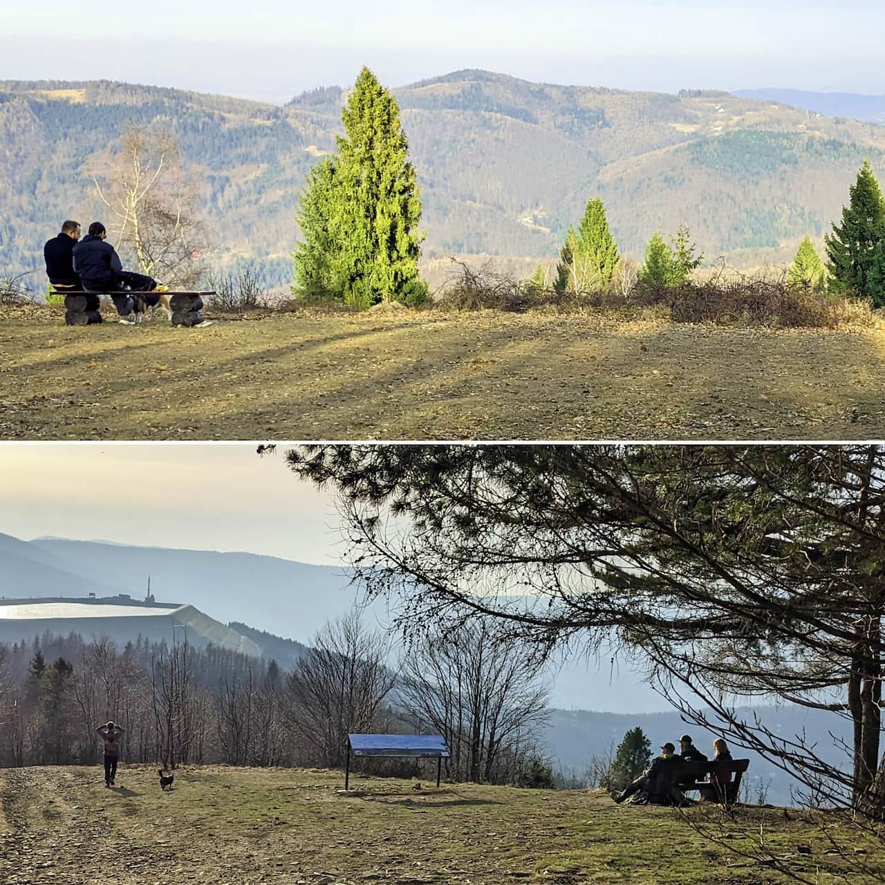
Walking among houses on the Snoza and Micherdówka ridge, which separates the Mała Puszcza and Wielka Puszcza stream valleys, you get the first views — towards the Soła Valley (Góra Żar and Czupel) and to the north, the long forested ridge of Bukowski Groń.
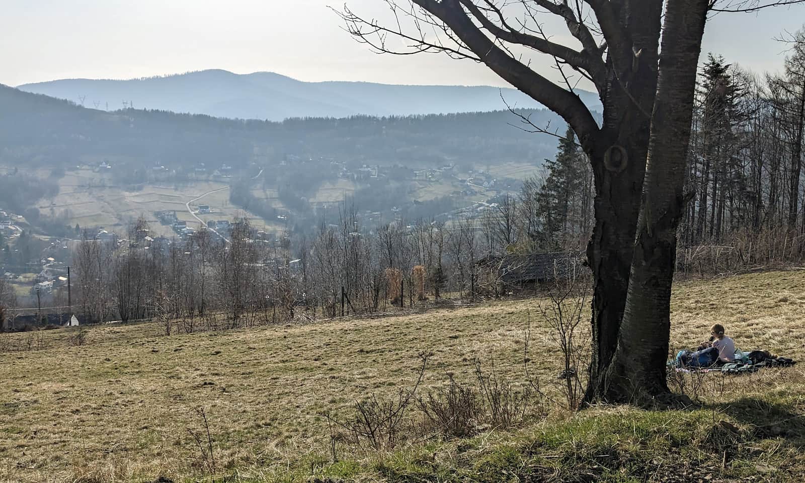
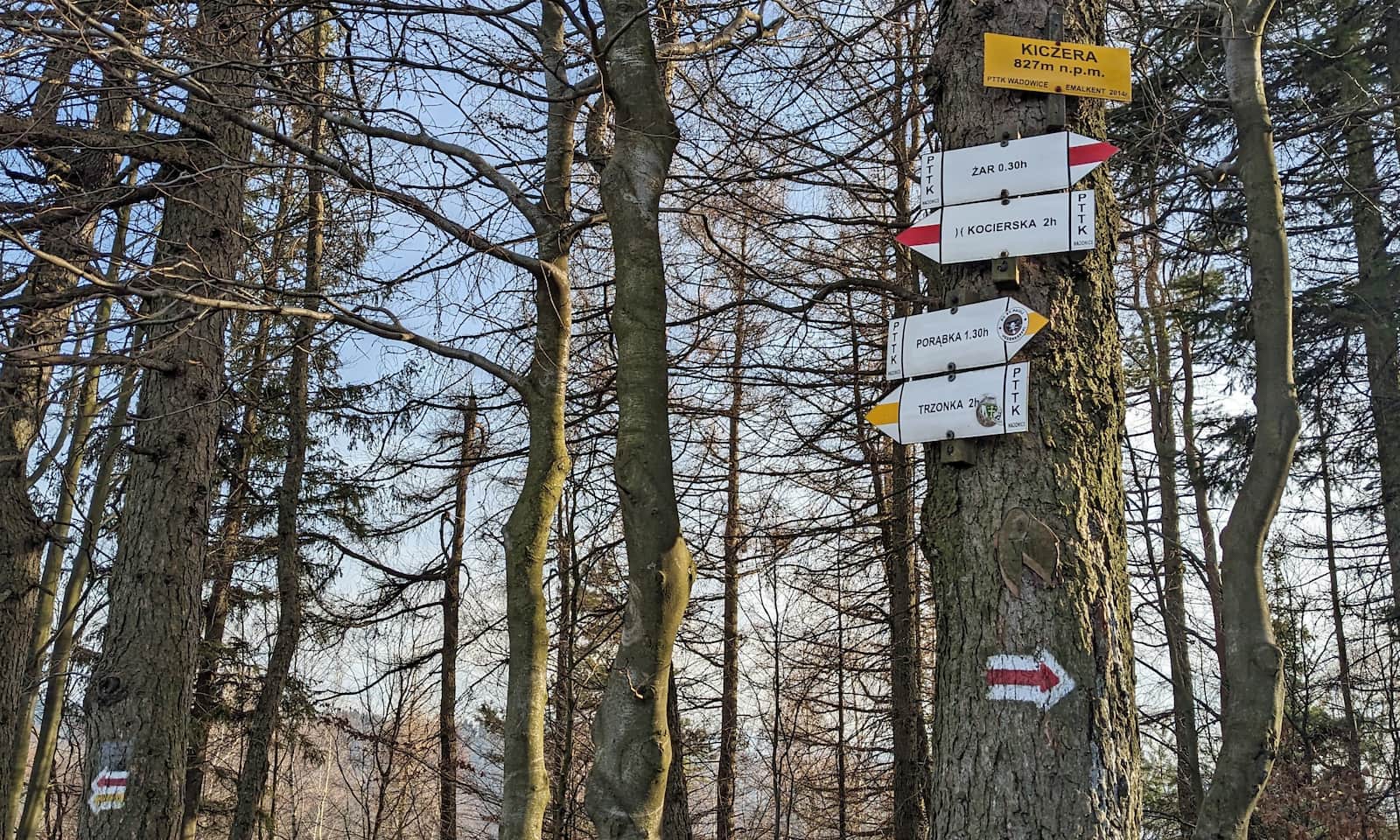
Ahead you can see the flat, forested top of Kiczera:
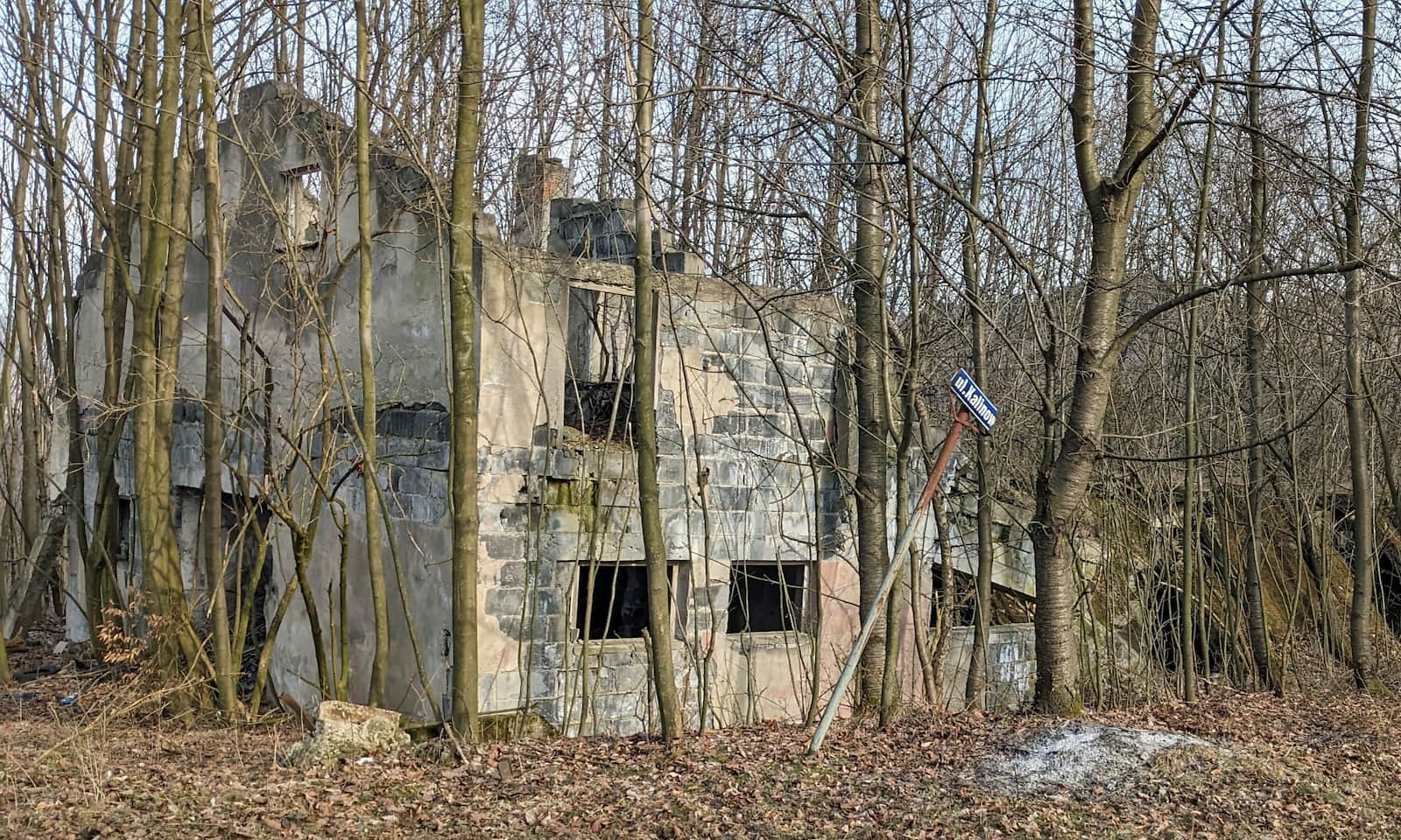
A small history note on the way: you will pass impressive ruins of an old sheepfold, from the times when these hills were almost completely deforested and used for sheep grazing.
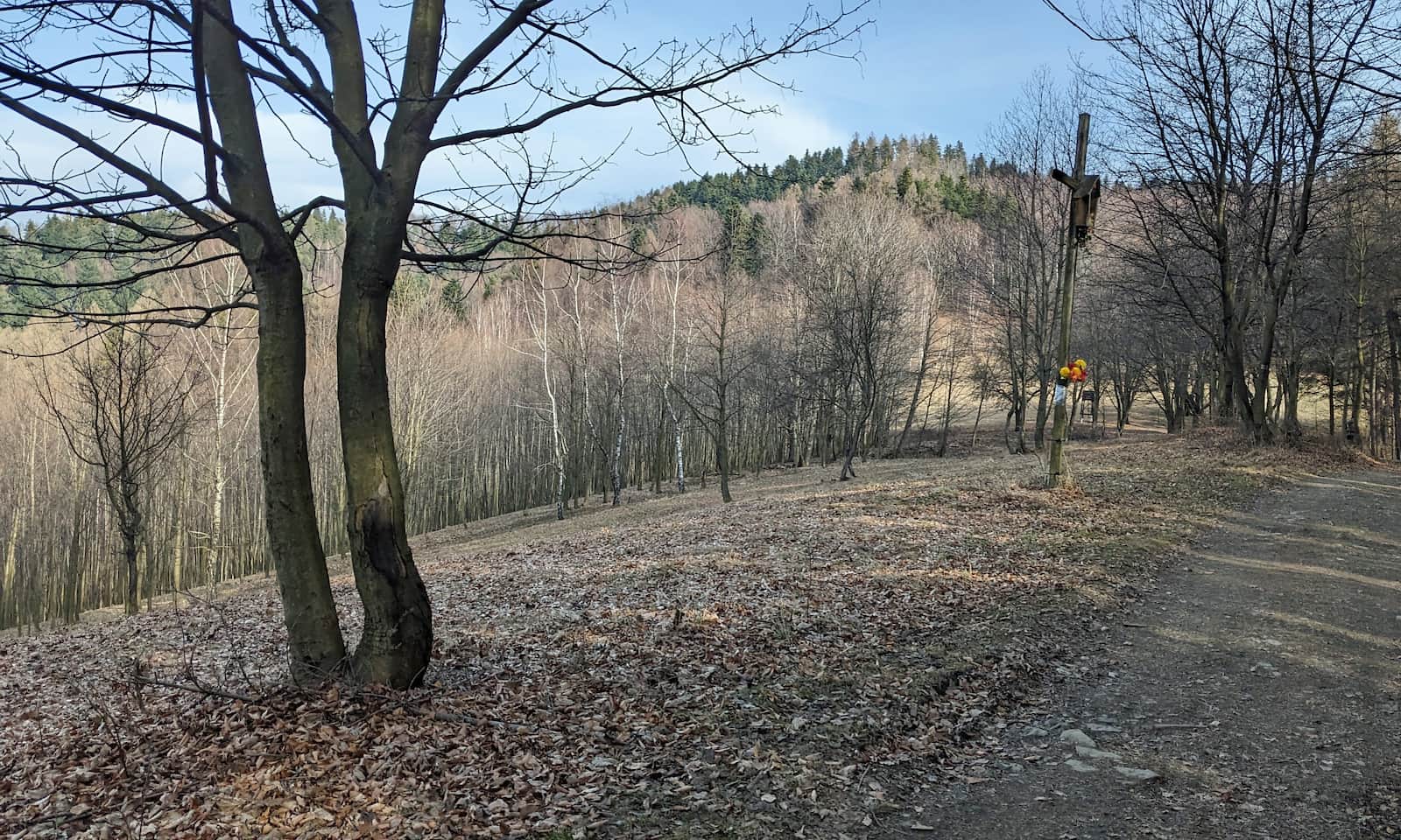
After the sheepfold ruins and a viewpoint meadow with a cross, it is time for the second (of three) steep climbs:
Luckily, the path soon becomes gentler again, with glimpses between the trees to the east and west. The final ascent to Kiczera’s summit is one of the steepest short pushes in the Little Beskids: over about 400 m of distance you gain around 100 m of height. It is steep and rocky — in rain or ice it can be dangerous!
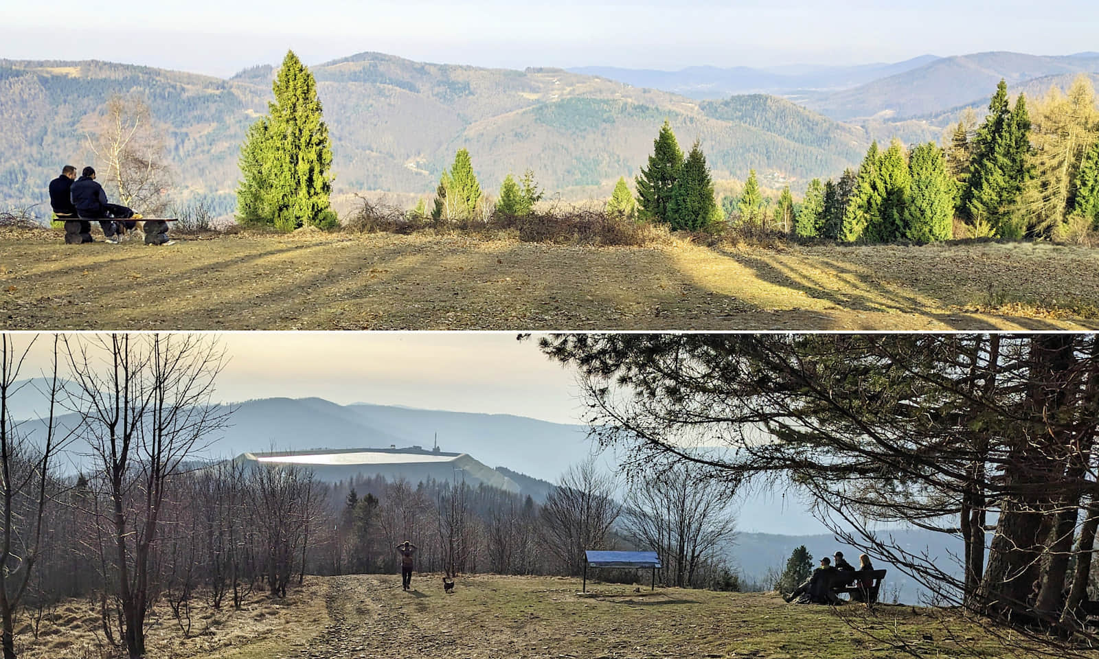
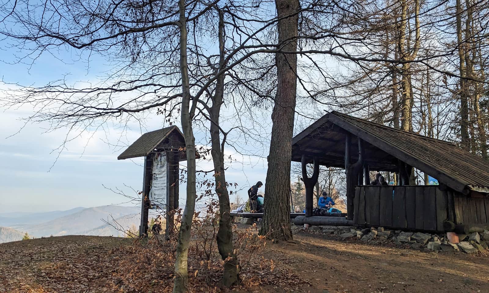
Kiczera, 827 m a.s.l. — one of the most scenic peaks in the Little Beskids
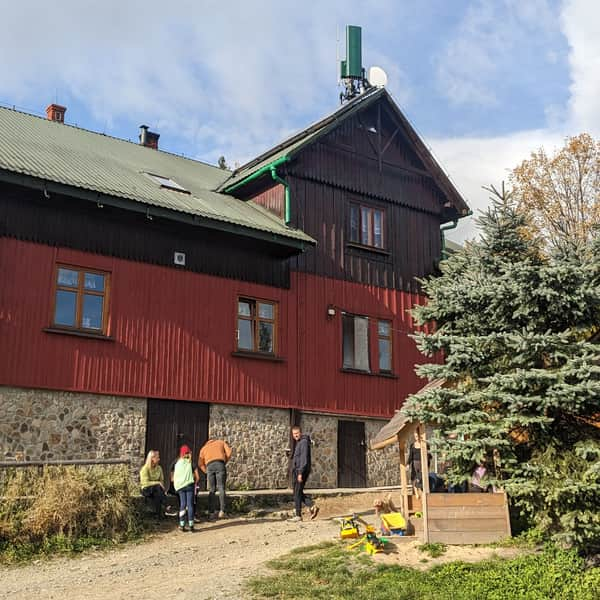
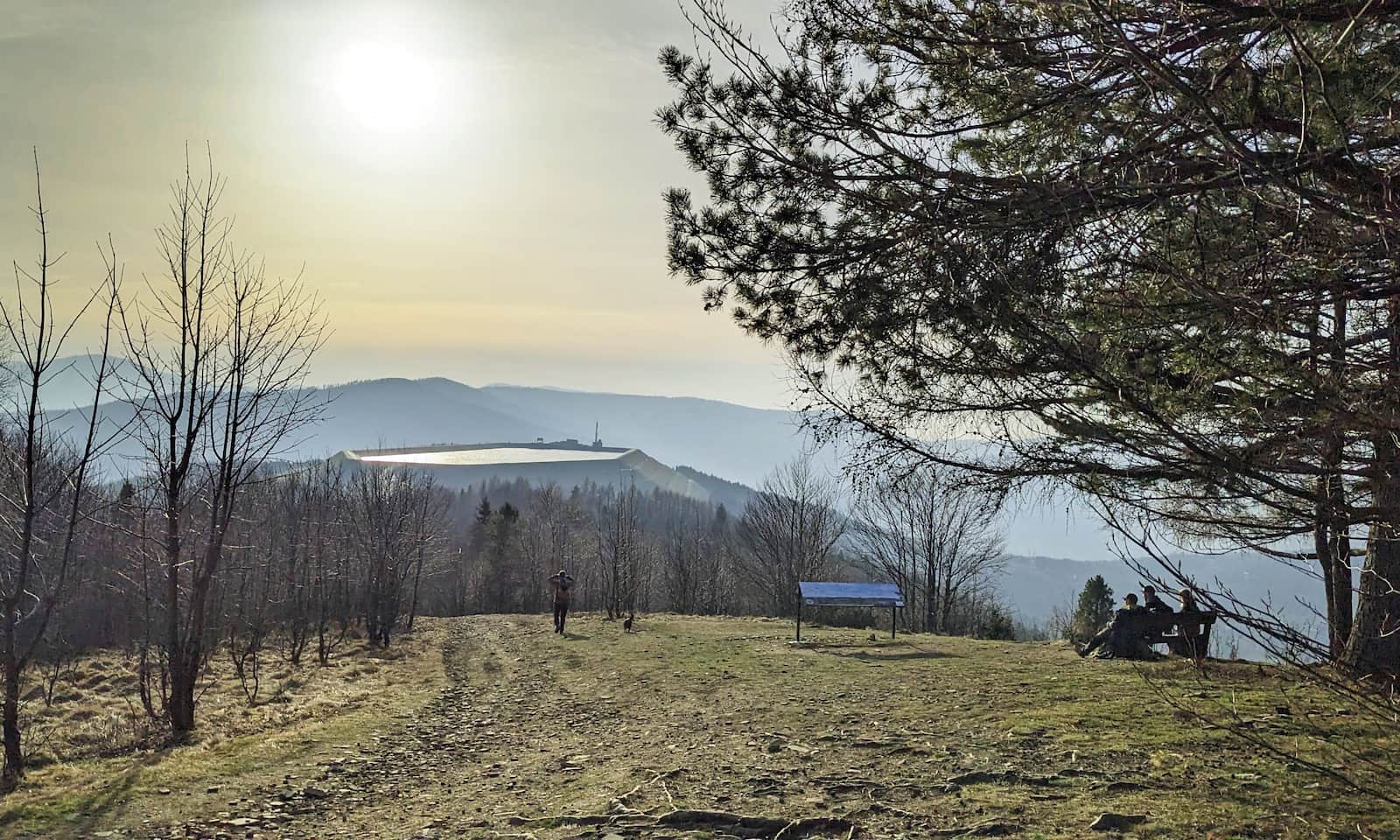
On the summit of Kiczera you can rest on a large viewpoint meadow. There is a big roofed shelter, a fire pit with a grill, and even a box with a stamp and a notebook where you can sign in as "proud summiteers". Please follow local fire regulations and leave no trace.
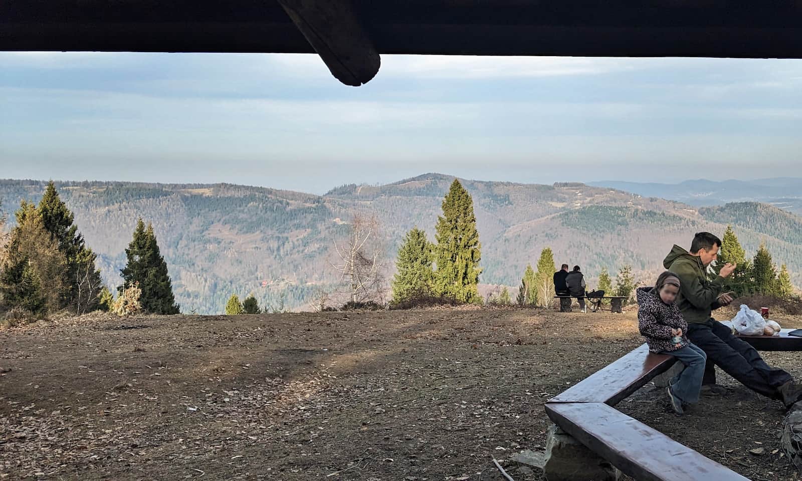
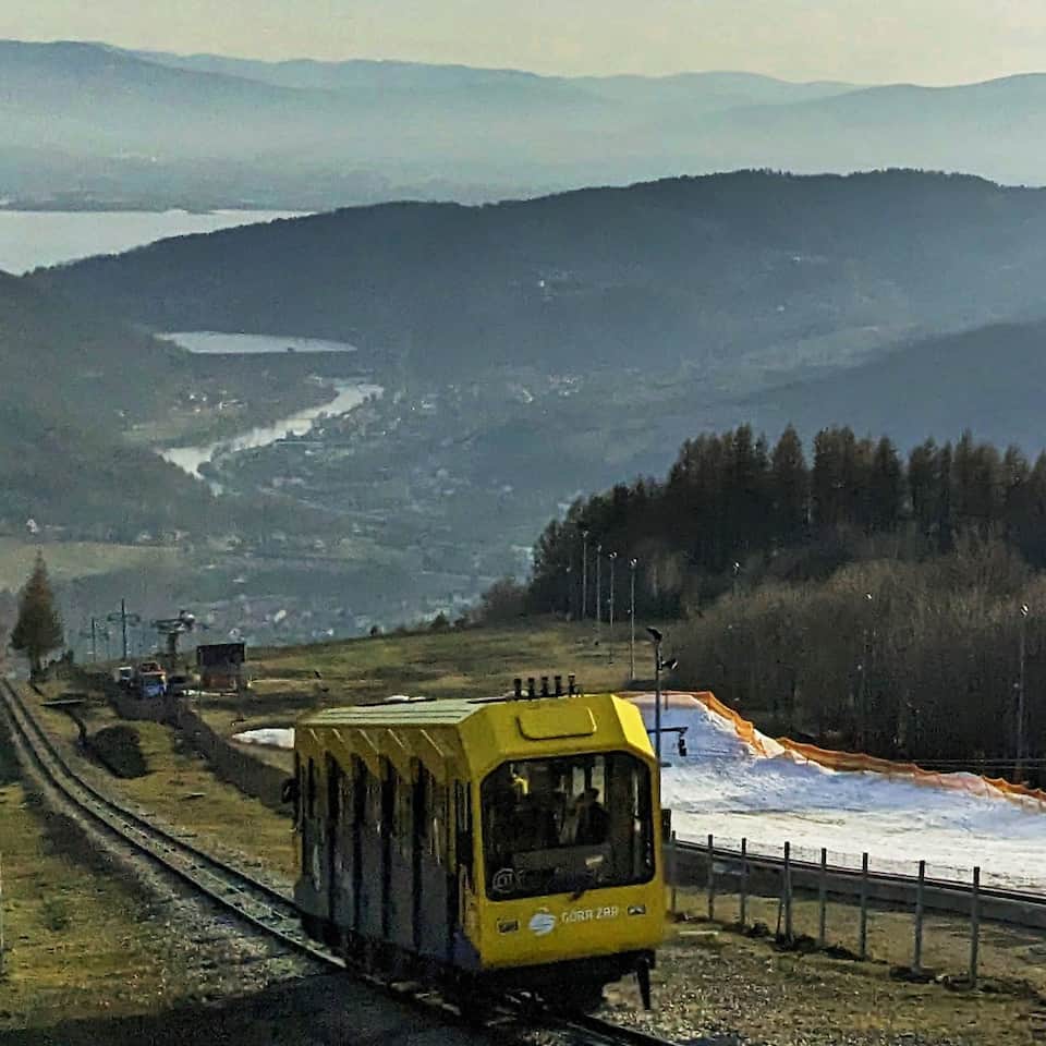
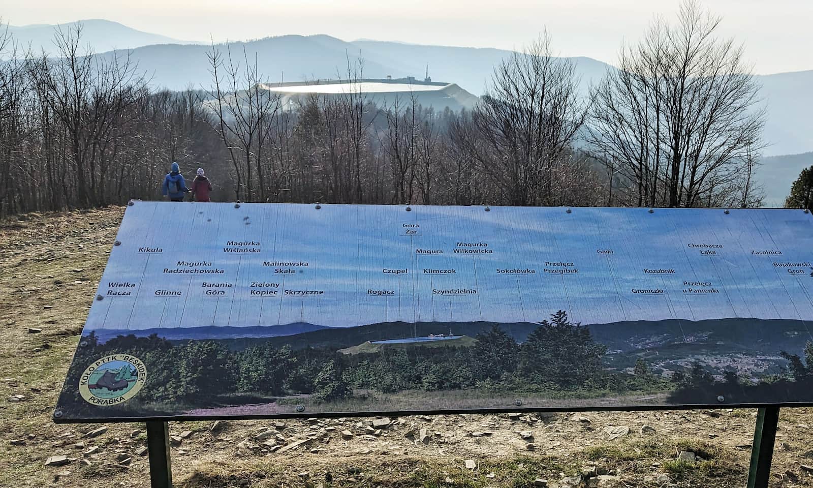
Note: this is not the only viewpoint meadow on Kiczera! Walk through the small forest to the second, western meadow — here you get an amazing view of the reservoir of the pumped-storage power plant on Góra Żar, and a panorama of other Beskid ranges!

More in the Region Beskid Mały (Beskid Mały)