Yellow Trail from Czartak to Gron JPII and Leskowiec
Town: Czartak Nearby: Wadowicebeach_access Route in the shade
restaurant Restaurant or bar nearby
directions_car Access by car
wc Toilet along the route
The Yellow Trail to Leskowiec is a fairly easy route, mostly gently uphill, but due to its length, it can be tiring. The path goes through the forest, so it is mostly shaded.
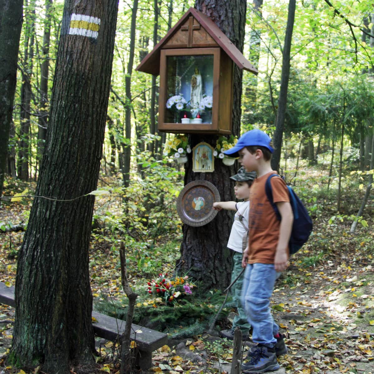
Attractions along the way include several chapels, educational boards, and rocks at the top of Kamień. Although we pass three peaks on the way: Kamień, Żar, and Królewizna, there are no views along the way....
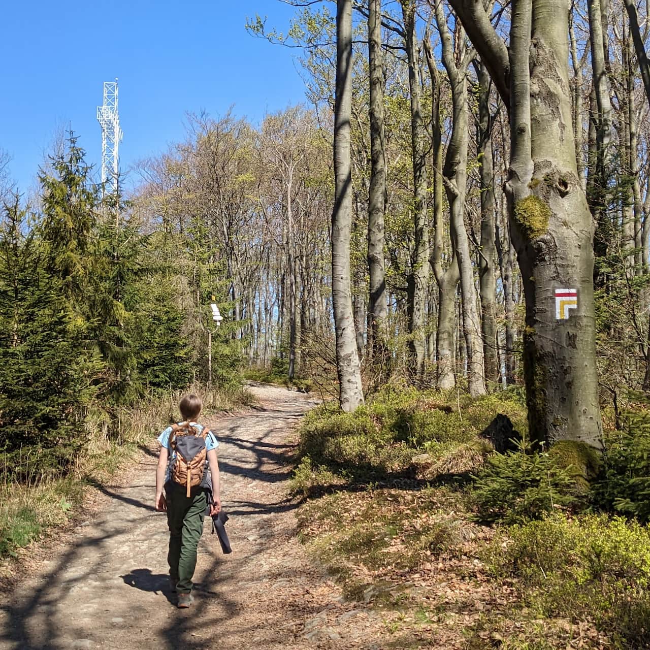
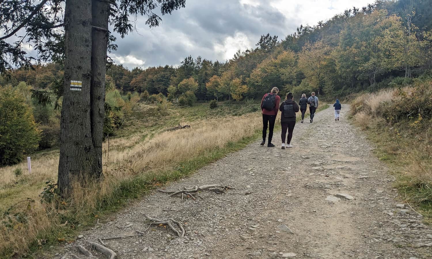
Start of the Yellow Trail to Leskowiec from Czartak
We start our hike at the intersection near the Czartak restaurant. There is a large parking lot here, and you can have a meal at the restaurant before setting off on the trail or after returning.
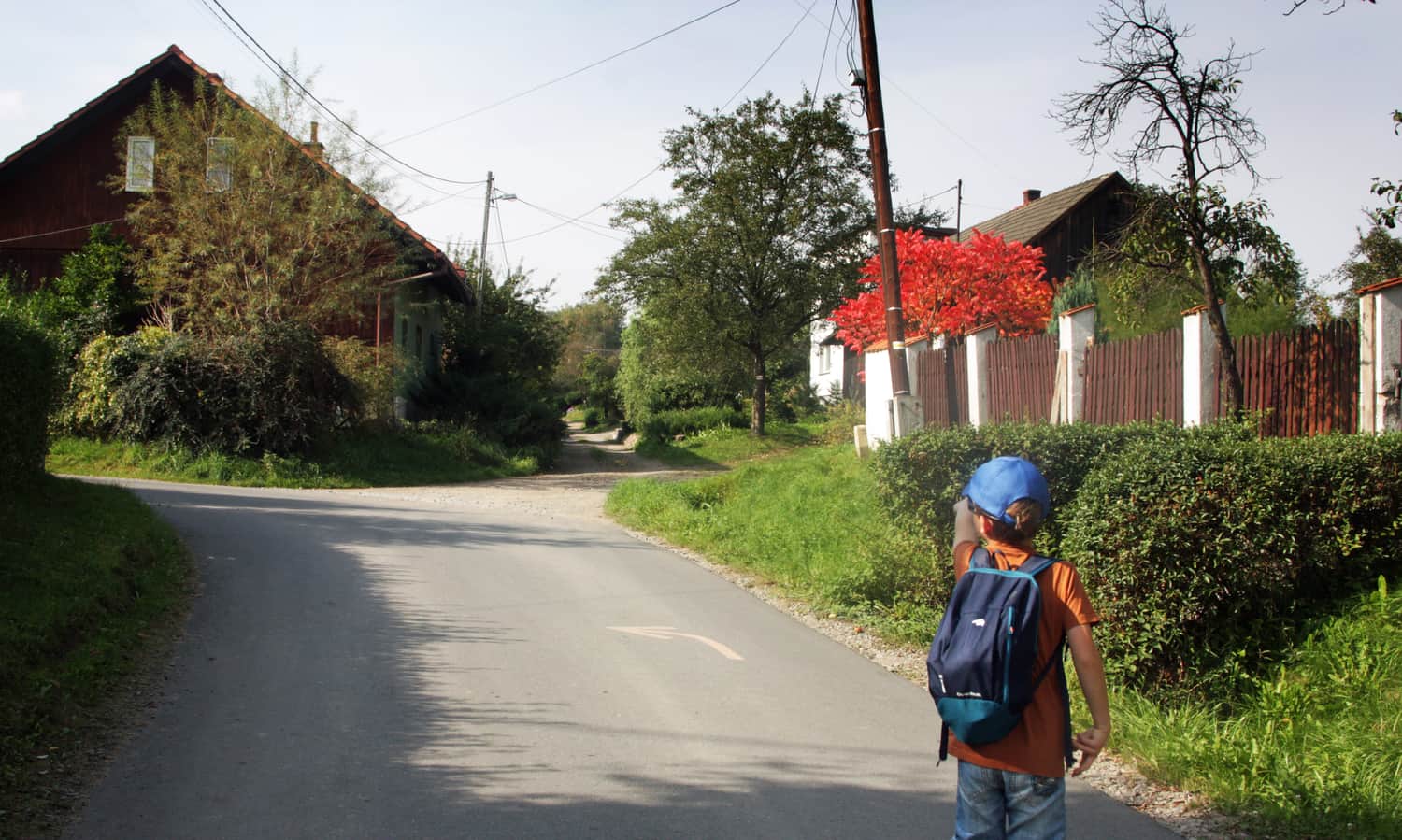
Initially, the yellow trail follows a village road - without a sidewalk, but the traffic is minimal. After about 15 minutes, we enter a paved road, reach a shepherd's hut, and enter the forest. The paths are wide, paved, or rocky. Along the way, we encounter a few steeper inclines, but they are short and soon turn into a flat road.
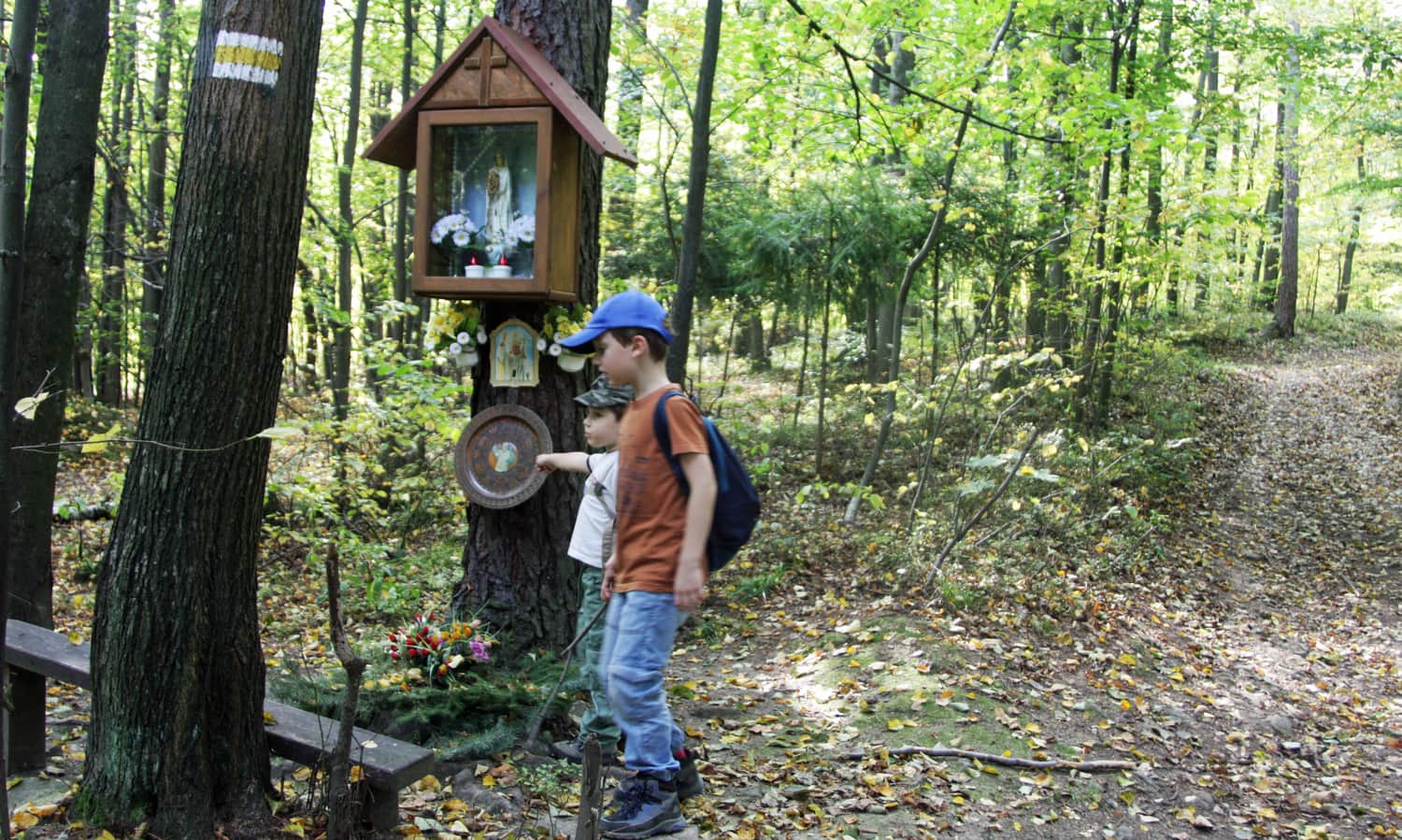
The trail is well-marked, but you need to pay attention to the arrows as there are many intersections and forks with other forest roads. After about 2 hours, we reach the first marked peak - Kamień. Just before the peak, an interesting rock formation awaits us. Maybe you can come up with a legend about enchanted tourists turned into rocks? It is worth planning a longer rest here - we have a table with benches and an educational board to read.
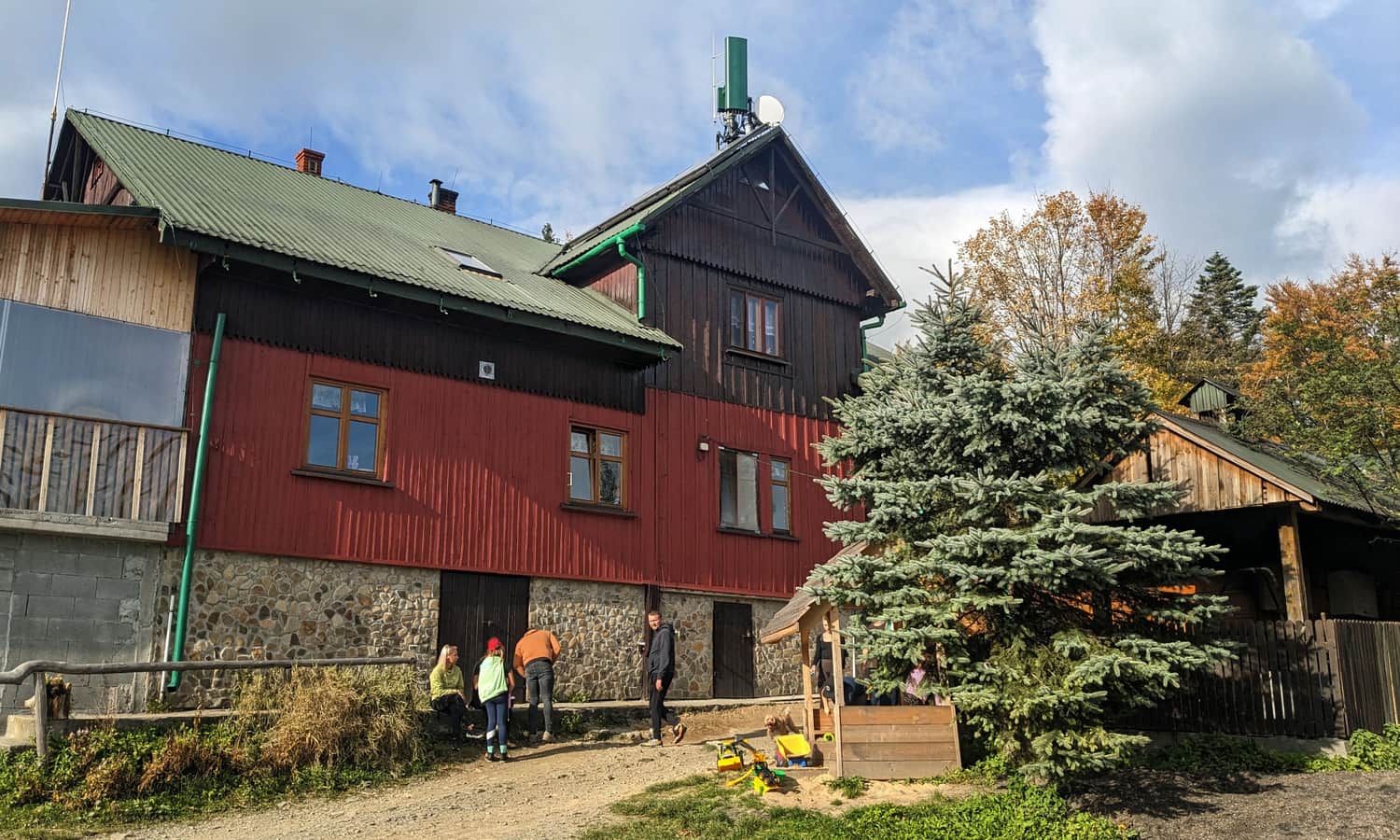
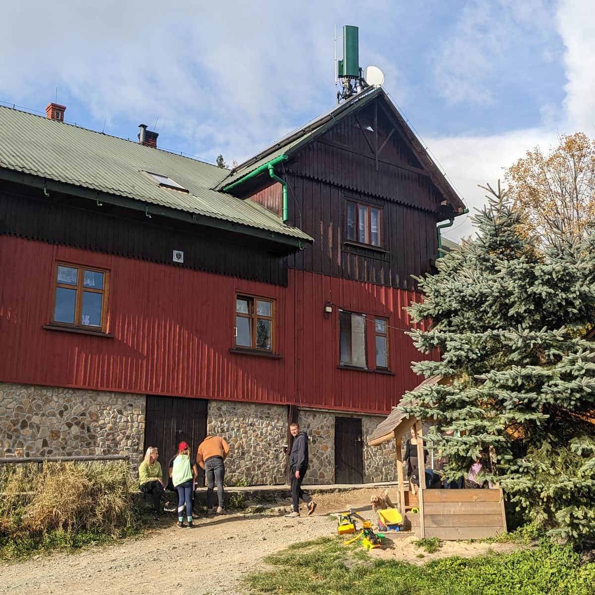
Shortly after, we reach the Żar peak, then the pass below Królewizna (educational board), and finally Królewizna itself (Magurka Ponikiewska, 817 m above sea level). From there, it takes another 30 minutes to reach the Leskowiec shelter on Gron Jana Pawła II (formerly Jaworzyna).
From the shelter to the summit of Leskowiec, we have only 15 minutes left and less than 1 km (only 50 m difference in elevation). It's a pleasant walk through a beech forest.
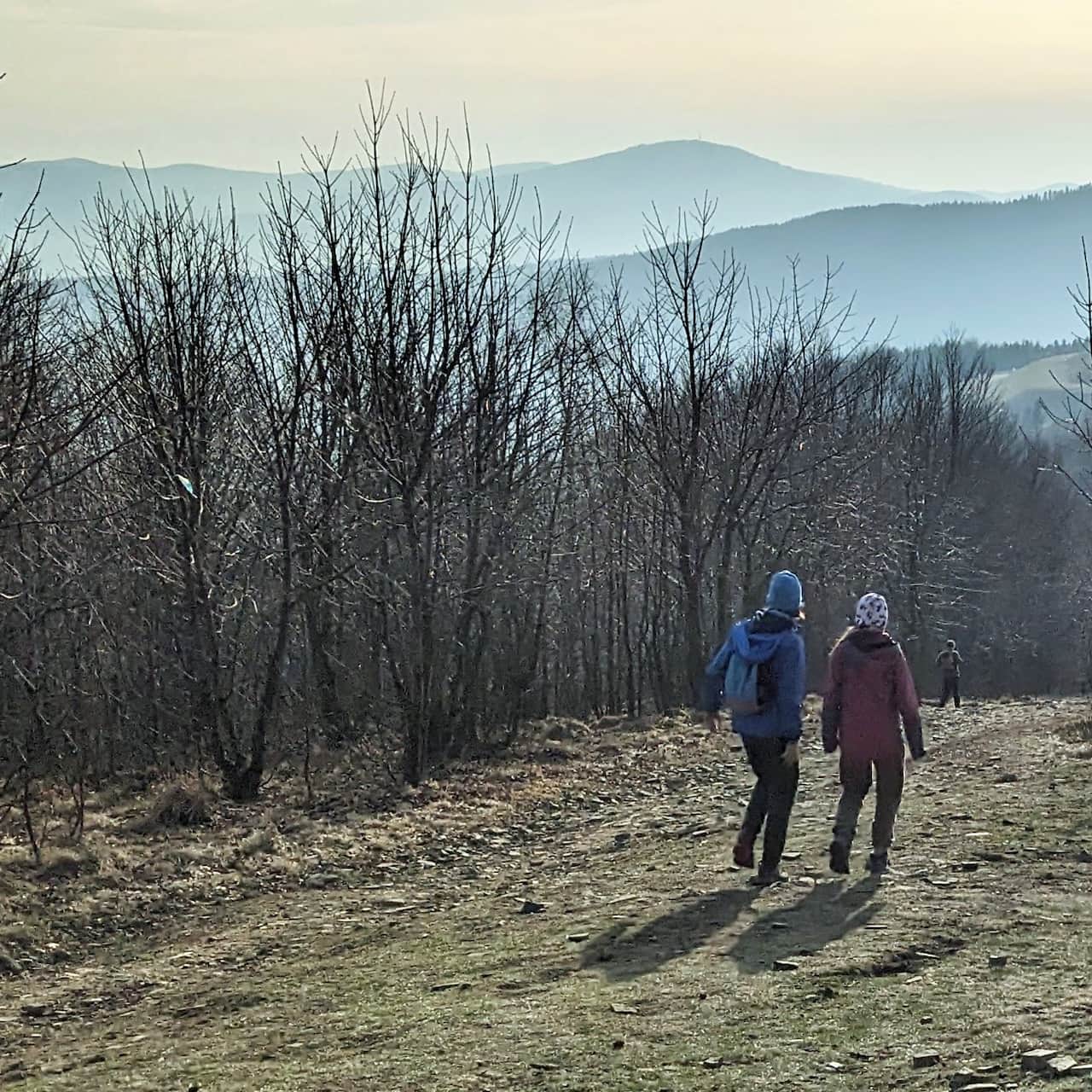
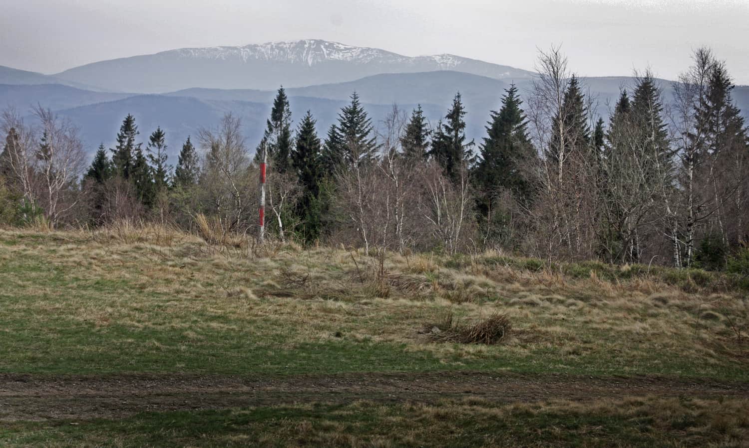
Leskowiec, 922 m above sea level - meadow and views at the top
At the summit, "views" finally await us: the Policy Range, Babia Góra, Pilsko, and on clear days, even the Tatra Mountains!
Leskowiec, PTTK Shelter, and Gron JPII - interesting facts and attractions
You can find more information about the summit, the shelter, and other trails to Leskowiec here:
Leskowiec - all trails and attractions
Leskowiec is one of the most popular peaks in the Beskid Mały Mountains. On the summit (992 meters above sea level), beautiful views await us, and just below: a friendly PTTK shelter. ...
PS. We can return to Czartak the same way or, for a change, descend with the blue markings to Ponikwa and take a bus or walk 5 km back to the trailhead.
.

More in the Region Beskid Mały (Beskid Mały)