Sowia Dolina, Sowia Przełęcz, and Jelenka shelter
Nearby: Jelenia GóraCountry: Polska, Czechy
beach_access Route in the shade
restaurant Restaurant or bar nearby
directions_car Access by car
directions_bus Can be reached by bus
train Access by train possible
wc Toilet along the route
The Black Trail from Karpacz - Wilcza Poręba will lead you to Sowia Przełęcz, Skalny Stół, the atmospheric Czech shelter Jelenka... and maybe even to Śnieżka itself?
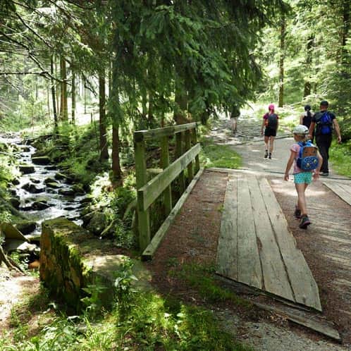
The beginning of the Black Trail in Karpacz, Wilcza Poręba
The start of the trail is right next to Krucze Skały (Raven Rocks):
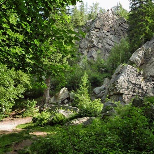
Krucze Skały w Karpaczu
Łatwy rodzinny spacer z dziećmi w do Kruczych Skał Karpaczu Krucze Skały to dobry pomysł na niedługi spacer i rodzinny ...
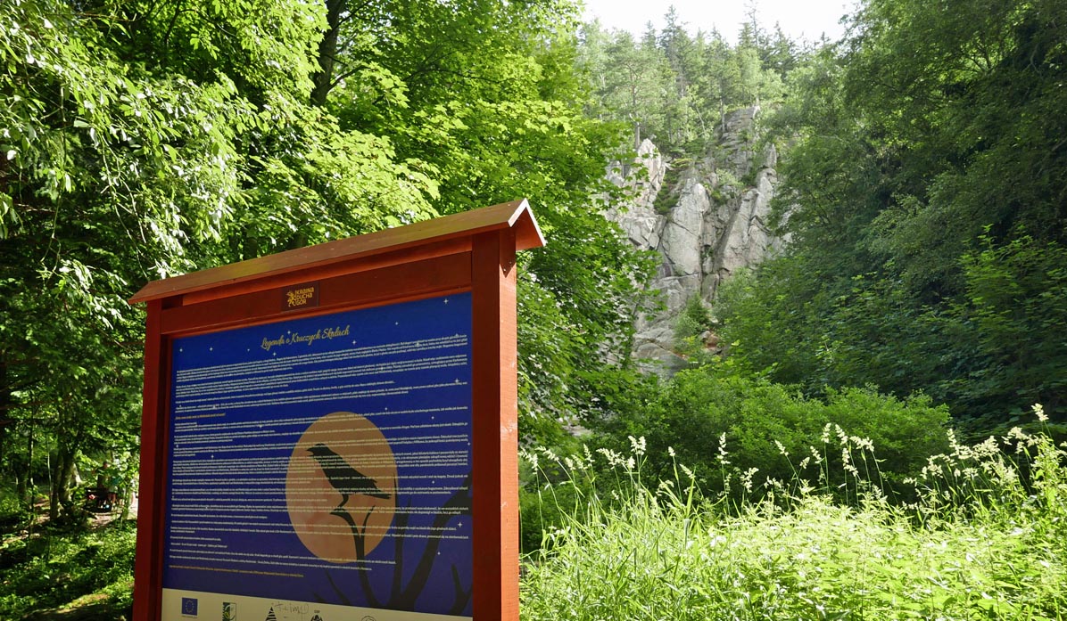
It's worth taking a look here, getting acquainted with the legend, and since the trail is quite long, maybe it's worth taking a photo and then reading the information at the subsequent stops?
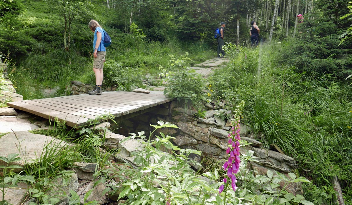
You return to the trail from Krucze Skały (you have to cross back to the other side of the Płomnica stream).
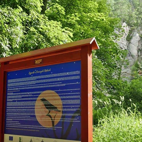
Legenda o Kruczych Skałach w Karpaczu
Tekst legendy o Kruczych Skałach, którą znajdziecie na tablicy pochodzi z książki Urszuli i Aleksandra Wiącków „Legendy ...
The Black Trail is also a mining trail, so it's worth familiarizing yourself with the interesting facts on the information board at the beginning of the trail. Did you know that gold used to be washed here?
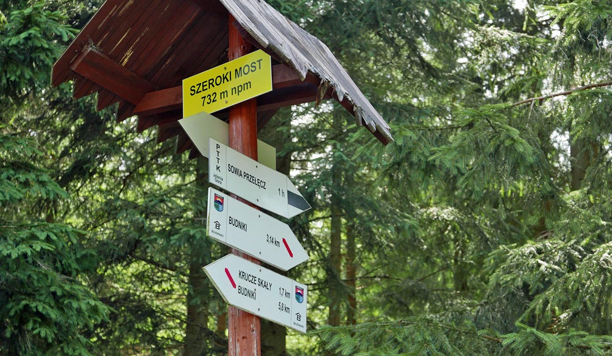
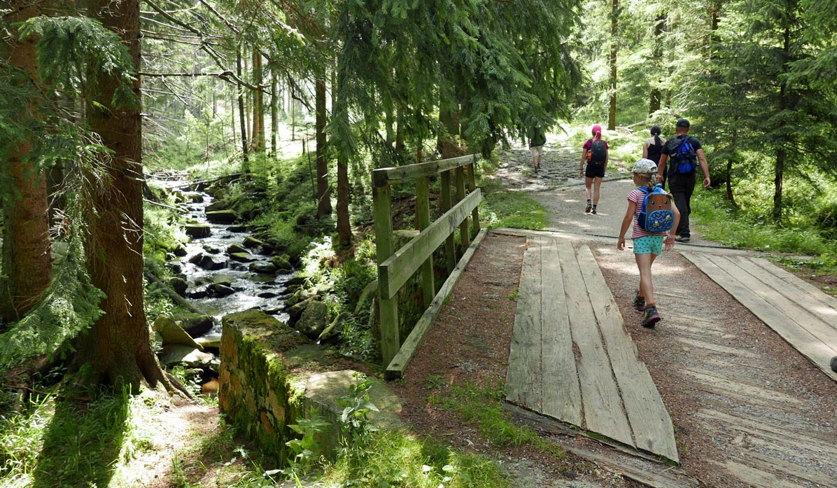
After about 15-20 minutes on a wide and gentle path, you will reach the intersection of the Szeroki Most trails, where there is a shelter with a table.
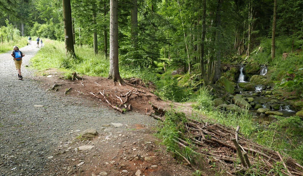
We continue to climb, now on a narrower forest path, passing interesting overgrown rocks - this is the area of old Walloon mines from half a millennium ago!
After a while, the red educational trail turns left to the former forest settlement of Budniki (about 1 hour one way). It was a large settlement located in such a deep valley that in winter, the sun was not visible for a long time (it was bright, but the sunlight remained hidden).
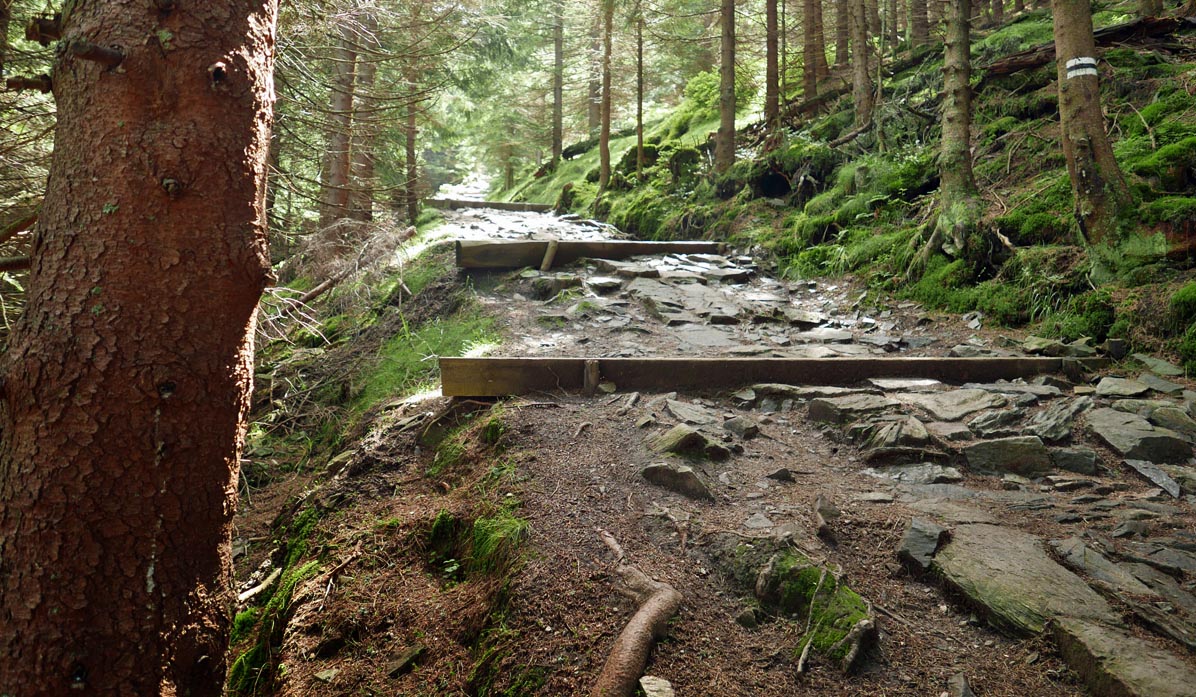
However, we continue to climb on the black trail, and our walk increasingly resembles a climb! At times, we walk directly along a small stream - after heavy rainfall, it may not be such a pleasant, small forest stream anymore...
After crossing the border of the Karkonosze National Park (remember about the tickets!), the most difficult section of the trail awaits us.
The steep forest path offers no respite...
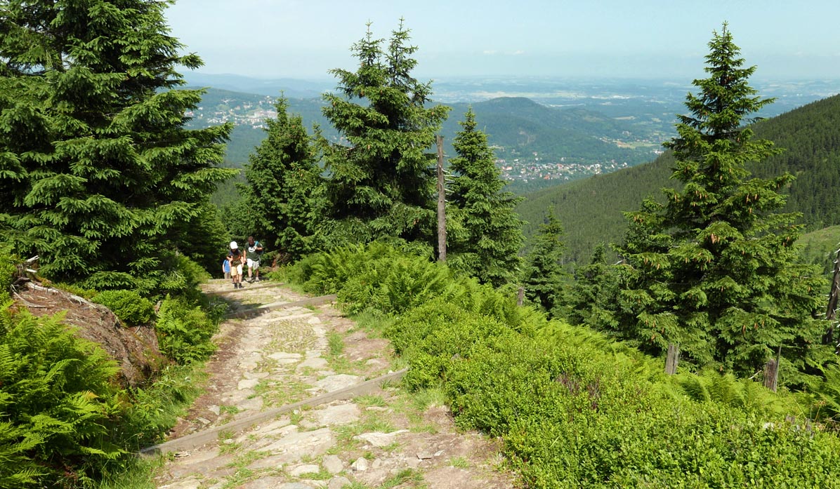
But soon, after leaving the forest, beautiful views await us!
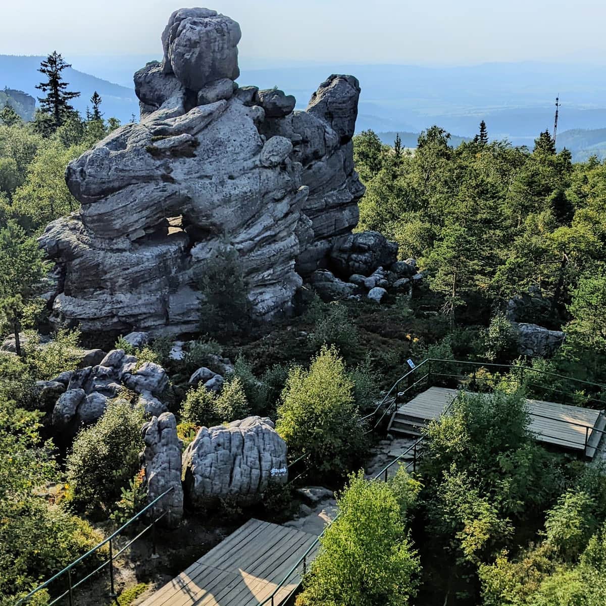
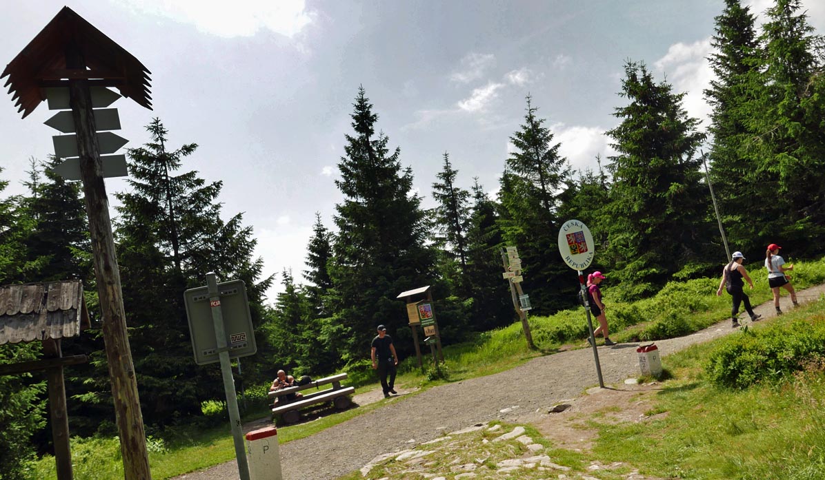
Sowia Przełęcz (Owl Pass) is the intersection of trails on the Polish-Czech border. It's worth resting here after the challenging climb:
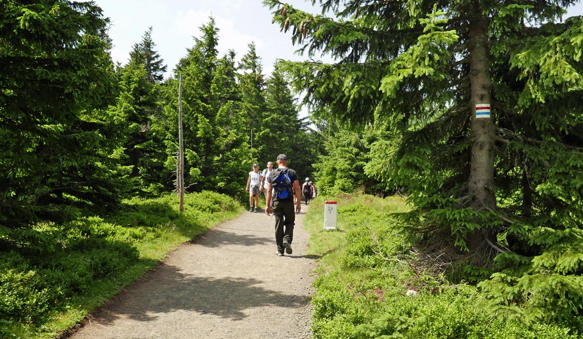
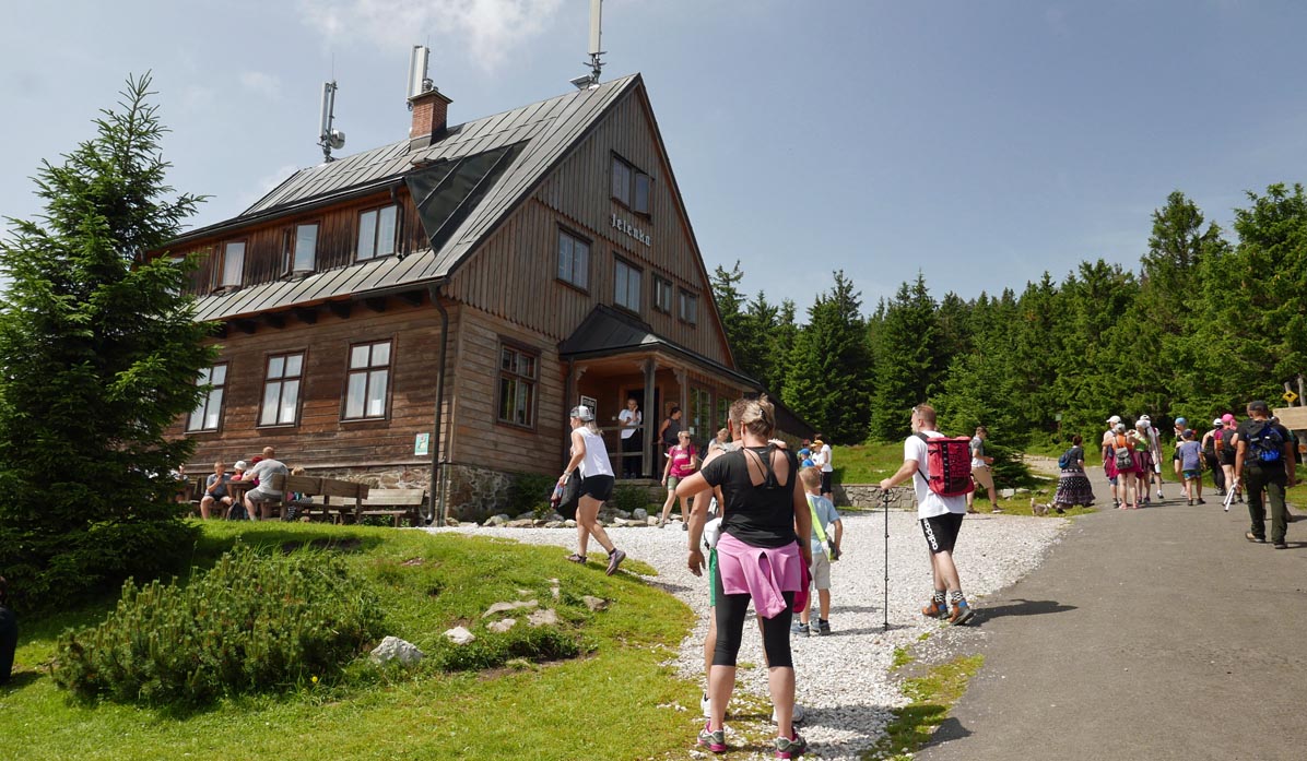
From the Przełęcz, we can head east to Skalny Stół (about 100m higher, an additional half-hour climb), or more calmly, but still slightly uphill, walk along the ridge to the Jelenka shelter (about 20 minutes from the pass).
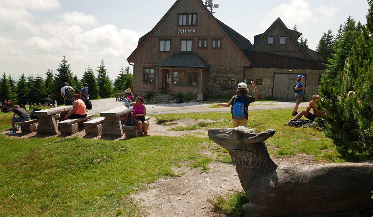
At the Jelenka shelter, you can find simple bar snacks, sweets, drinks, and souvenirs.
While at the Jelenka shelter, look for the wooden sculpture of a deer in the clearing!
From Jelenka, many people set off to Śnieżka:

More in the Region Sudety (The Sudetes)