Scenic route to Eliaszówka from Jaworek
Nearby: Nowy Sącz| Distance | 11.3km |
|---|---|
| Time | 4h 20min |
| Ascents | 604m |
| Descents | 154m |
wb_sunny Route in the sun
restaurant Restaurant or bar nearby
directions_car Access by car
directions_bus Can be reached by bus
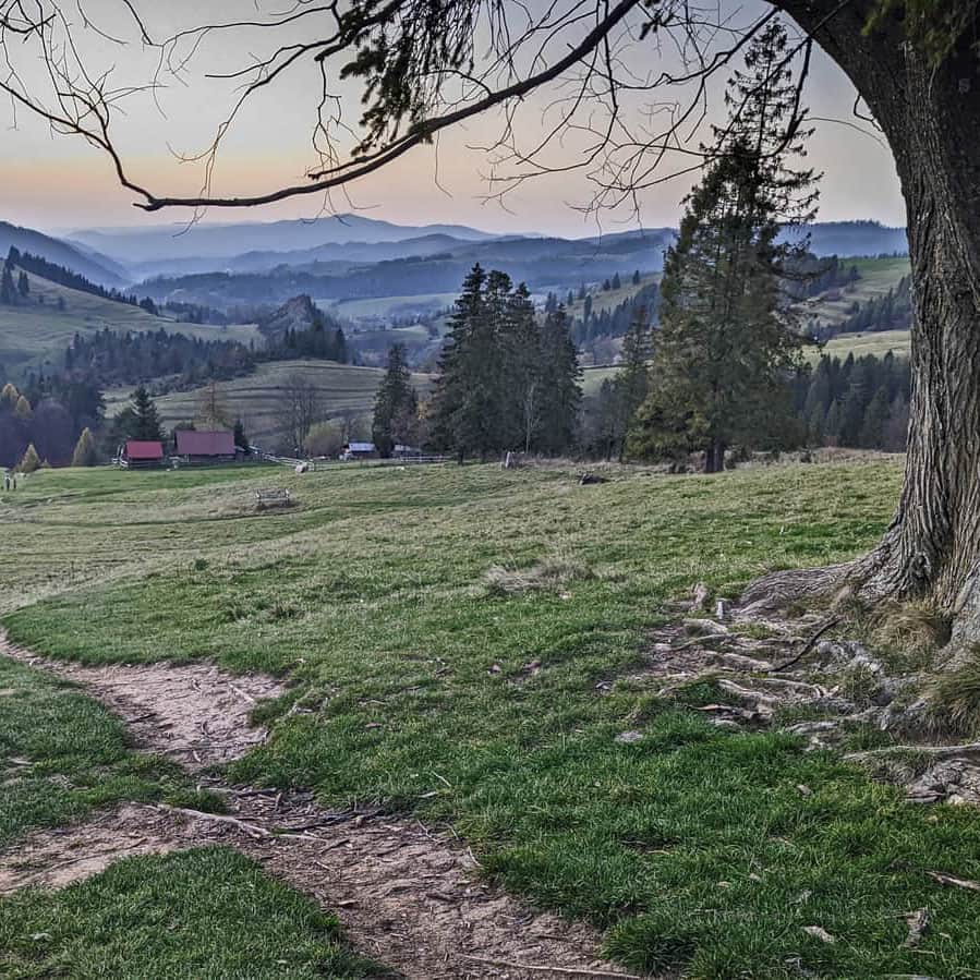
The red trail from Jaworek to the lookout tower on Eliaszówka will lead us to our destination through numerous scenic meadows: the so-called Ruskie Łąki, the meadow under Ruskim Wierchem, and the Litawcowa meadow on Obidza.
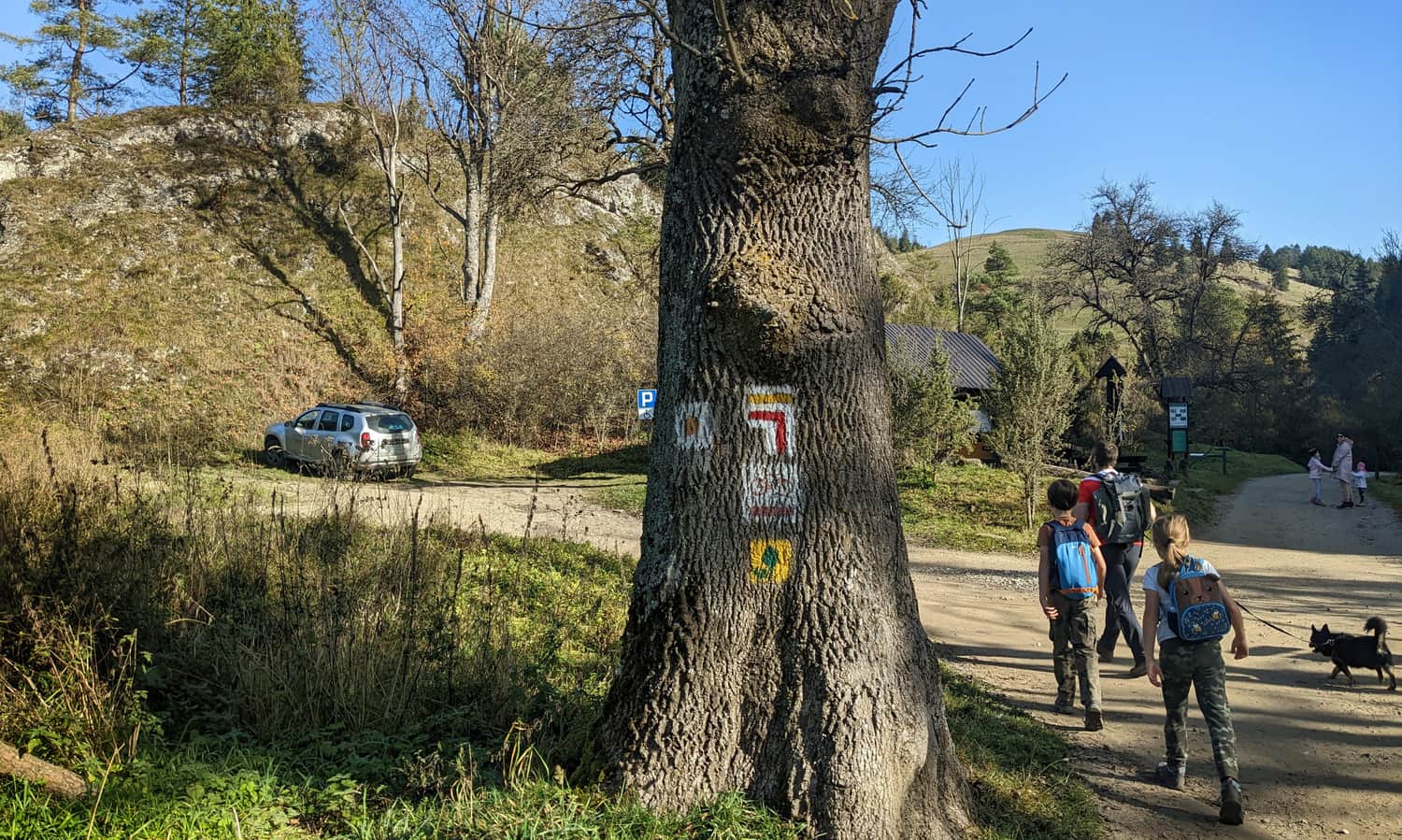
Jaworki - Ruski Wierch
We can conveniently reach Jaworek by car (large parking lot at the entrance to the valley) or by bus from Szczawnica.
Our red trail initially goes together with the yellow trail towards Biała Woda, but at some point, it turns left and starts climbing the scenic meadows above Jaworki.
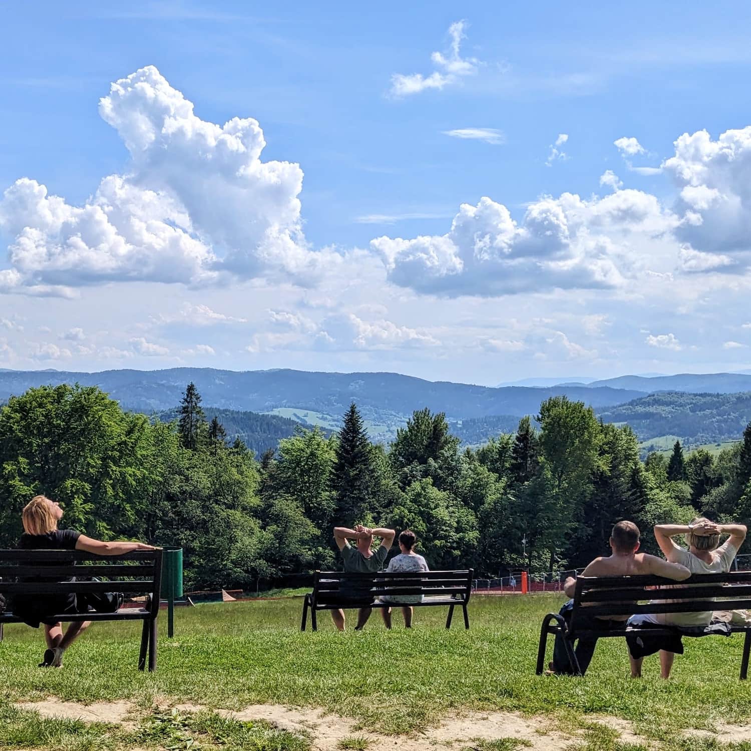
It's worth stopping and looking back from time to time!
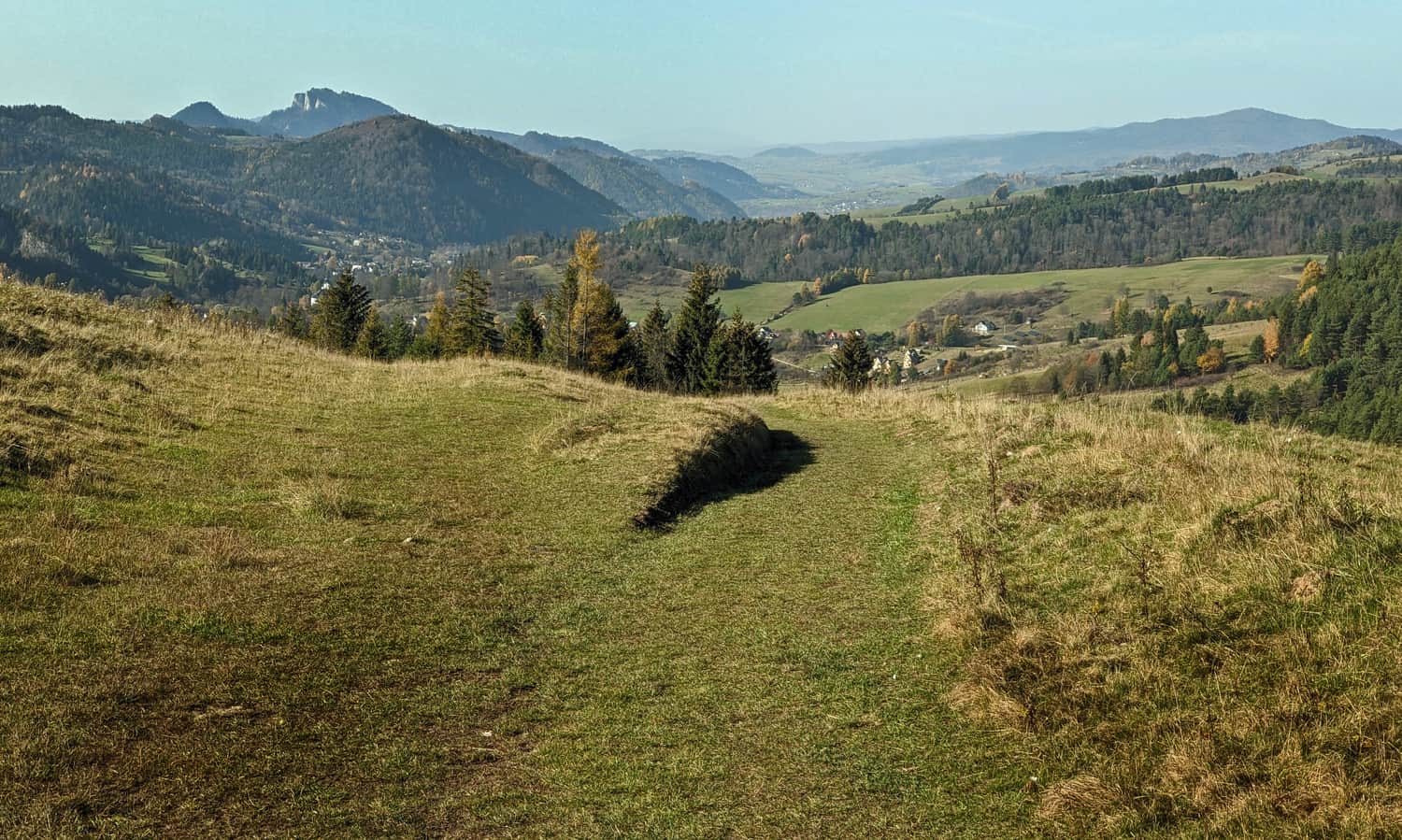
The most beautiful view awaits us under Ruskim Wierchem.
Ruski Wierch - Litawcowa - Obidza
From Ruski Wierch, the red trail leads us to the intersection with blue signs. Now we hike towards Piwniczna together with the blue trail to the expansive meadow between Litawcowa and Obidza.

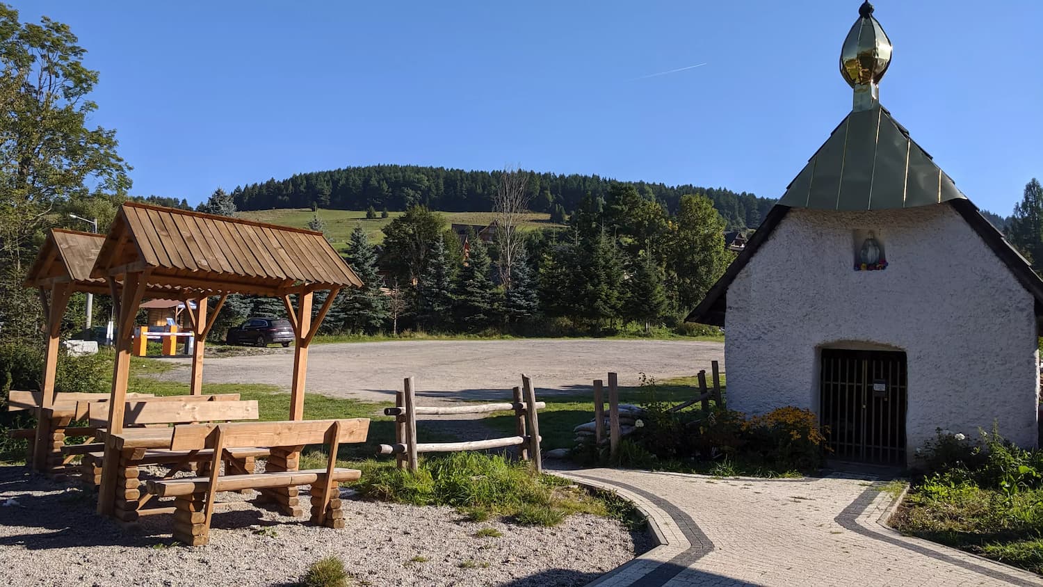
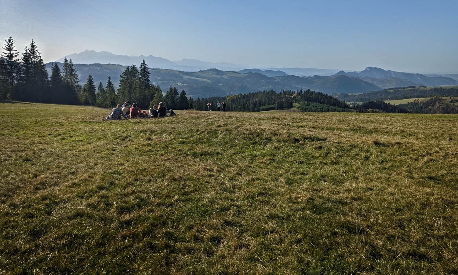
In total, after about 3 hours from Jaworek, we reach Przełęcz Gromadzka in the hamlet of Obidza. Before we start the final stage of the route, which is the ascent to the lookout tower on Eliaszówka, it's worth taking a moment to stop at Obidza.
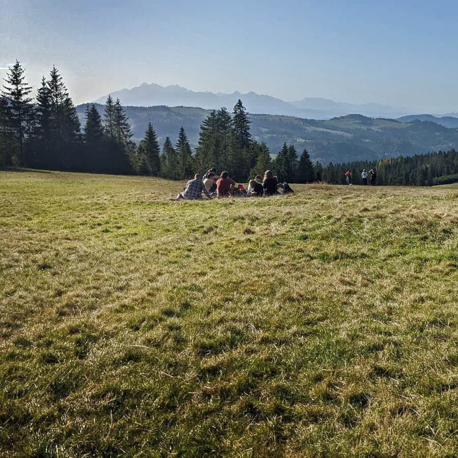
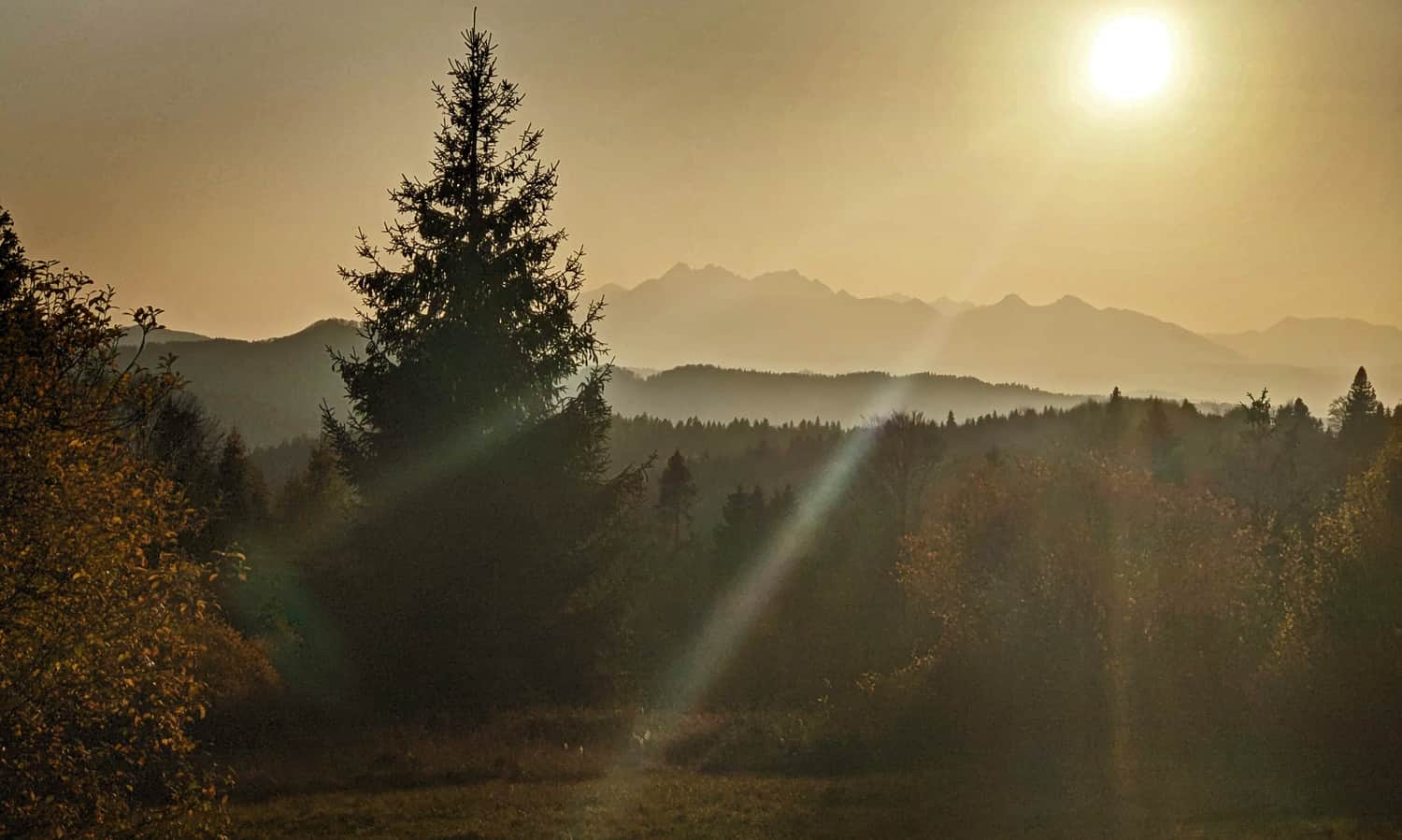
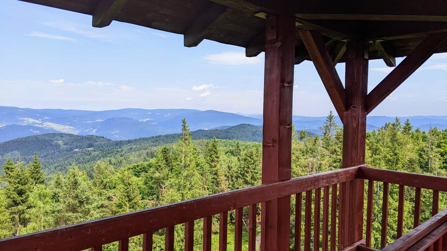
Just below the pass, towards Piwniczna, there is "Chata Obidza," where you can rest and have a meal before continuing the journey. From these meadows, there is a beautiful view of the Tatra Mountains:
Obidza - Eliaszówka
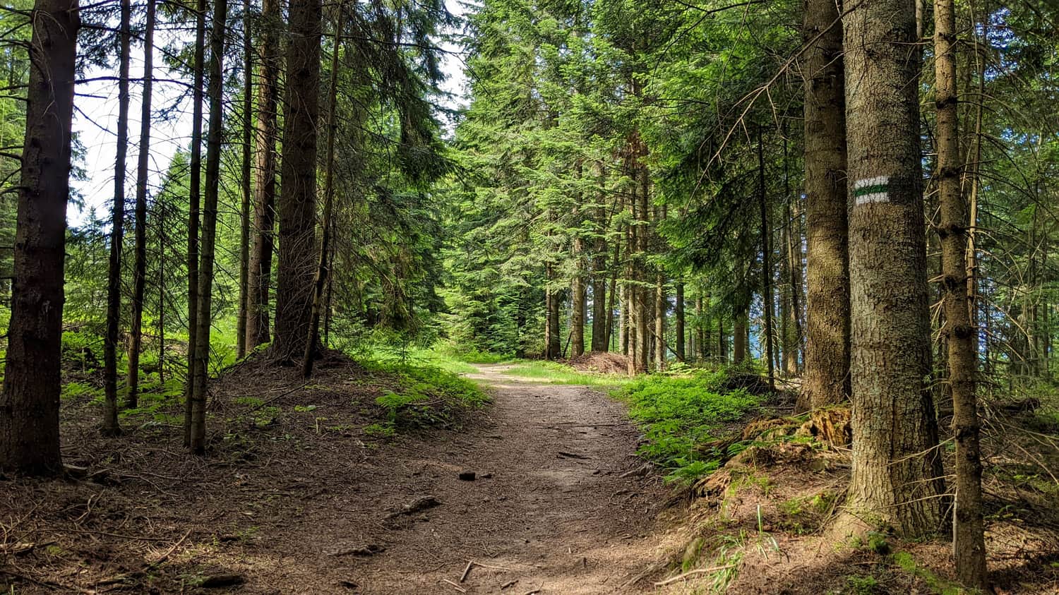
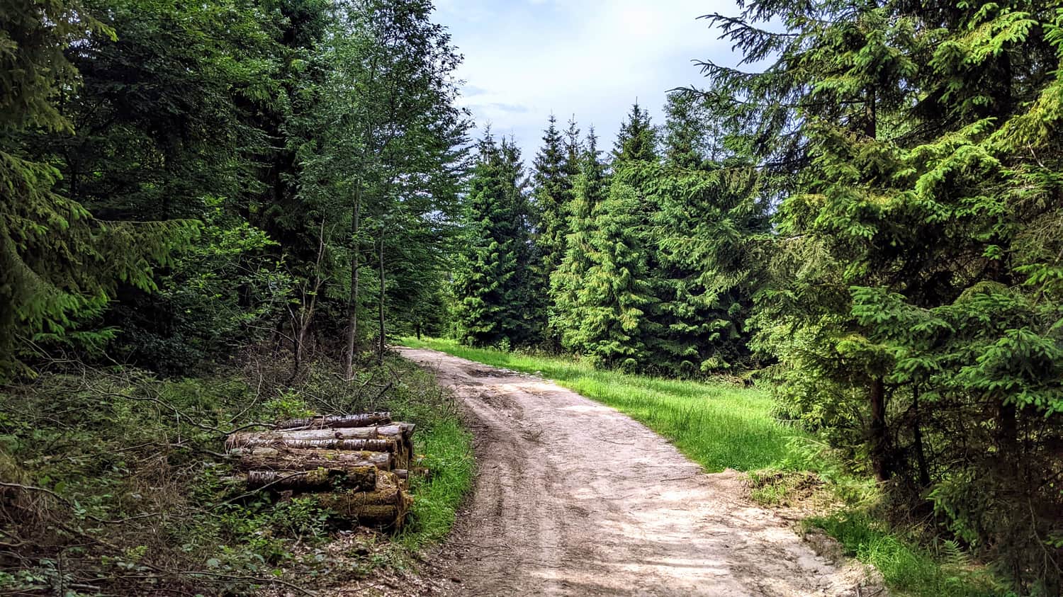
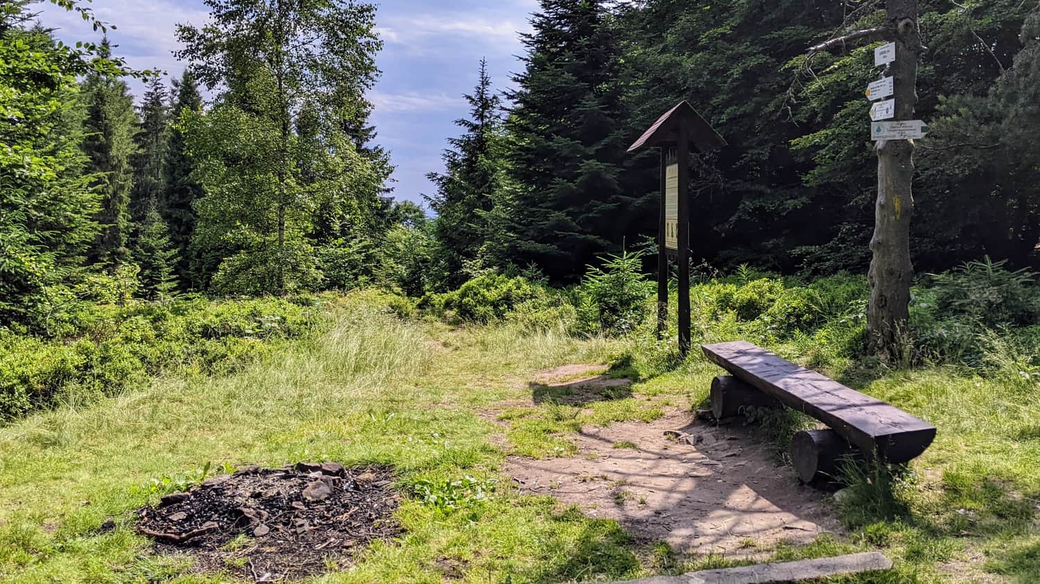
The last stage of reaching Eliaszówka is the ascent from Obidza with the border green trail to the lookout tower. We still have less than 4 km to cover and less than 200 m of elevation difference. The trail is largely covered with gravel, which gives it character and allows walkers to enjoy the contact with nature. The route leads through a charming forest and several scenic clearings.
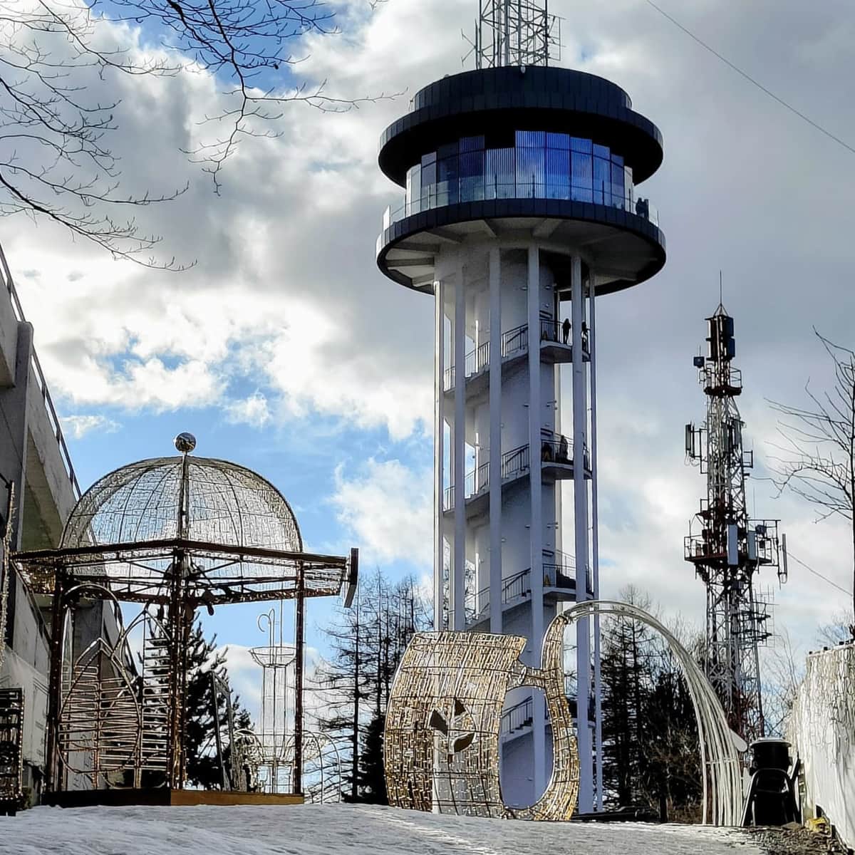
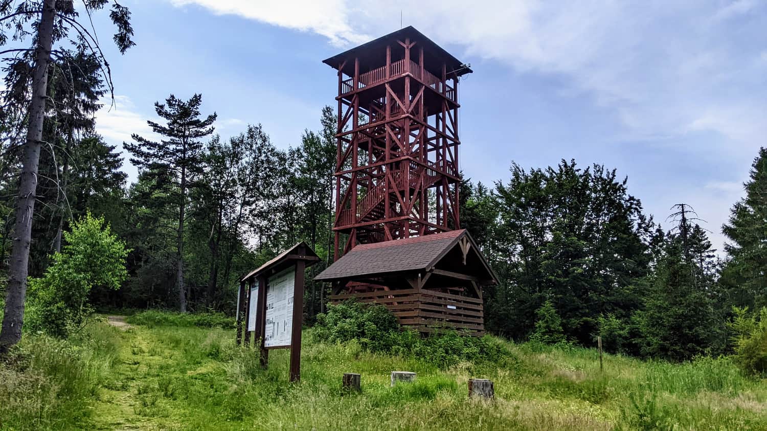
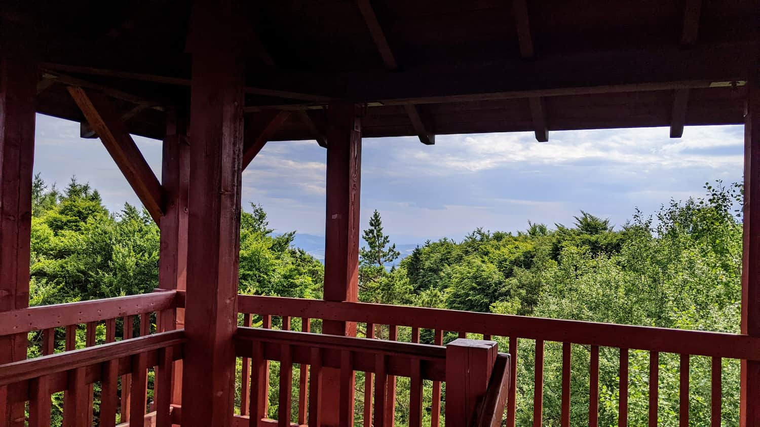
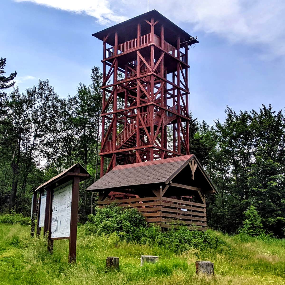
Lookout Tower on Eliaszówka
Eliaszówka (Slovak: Eliášovka) is an impressive peak in the Beskid Sądecki, located on the Polish-Slovak border. With a height of 1024 meters, it is the highest point of the Góry Lubowelskie.
On the northeast slope, there is the Sucha Dolina ski resort, which is popular in the region. On the southern slope, in the Lemko village of Litmanowa, there is the Sanctuary of Our Lady of Litmanowa, which is the destination of numerous pilgrimages.
In the past, the slopes of Eliaszówka were treeless and served as pasture areas. Currently, the summit is covered with forest, which diminishes its scenic attractiveness. During World War II and after the war, the vicinity of Eliaszówka was a popular crossing point for couriers of the Polish Underground State.
To increase the tourist appeal of the peak, a 20-meter wooden lookout tower, a roofed gazebo, a place for a bonfire, and an obstacle course for cyclists were built. It is also worth mentioning that until 2007, there was a tourist border crossing between Eliaszówka and Eliášovka, allowing crossing the border between Poland and Slovakia in this area.
From Eliaszówka to Jaworek
We can return the same way - the descent should take about 3 hours.
We can also make a loop and descend to Jaworek using a different route. Instead of turning right towards Obidza, we turn left following the blue signs towards Przełęcz Rozdziela, and then descend with the yellow trail through the Biała Woda Reserve.
The descent via this route is of similar length (also taking about 3 hours). It's worth considering, especially if dusk is approaching: it will be easier to return to Jaworek via the asphalt path through Biała Woda than through the forests and meadows on the red trail.
Medium
Jaworki - Eliaszówka, through Biała Woda

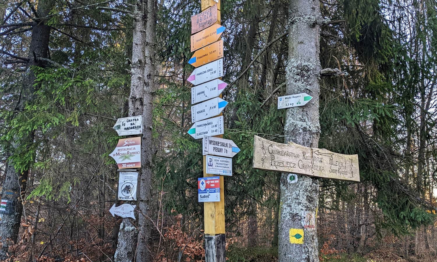
PS. More about other trails leading to Eliaszówka:
Eliaszówka Peak (1024 m) - trail map, views from the tower
All trails to the observation tower on Eliaszówka! ...