Rytro: Deer Trail - description and map
Nearby: Nowy Sącz| Distance | 16.9km |
|---|---|
| Time | 6h 13min |
| Ascents | 797m |
| Descents | 870m |
beach_access Route in the shade
directions_car Access by car
train Access by train possible
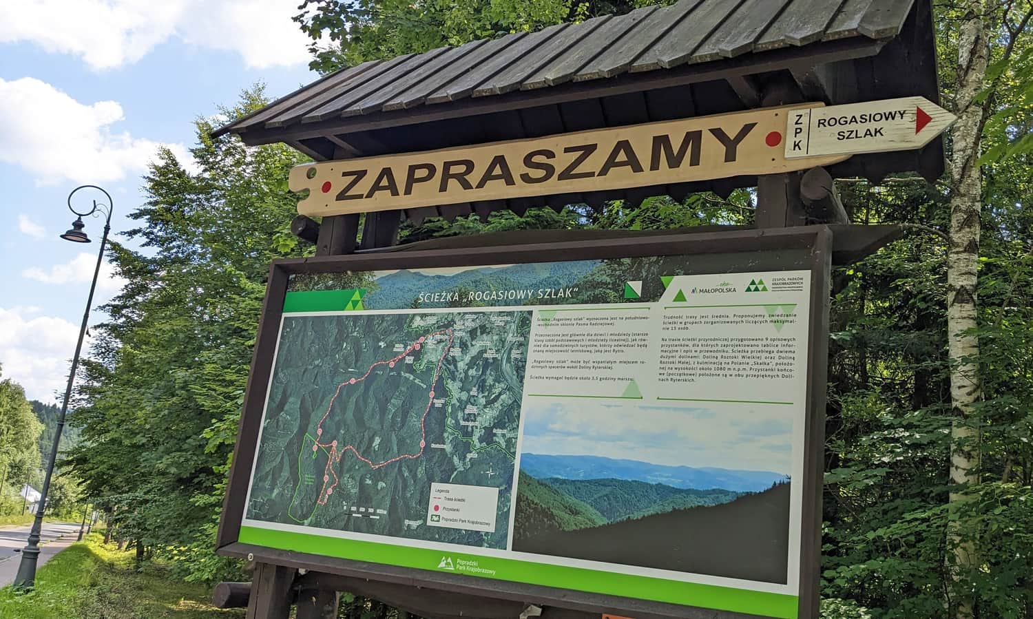
The Deer Trail is a forest educational path in the valleys of Great Roztoki and Small Roztoki in Rytro.
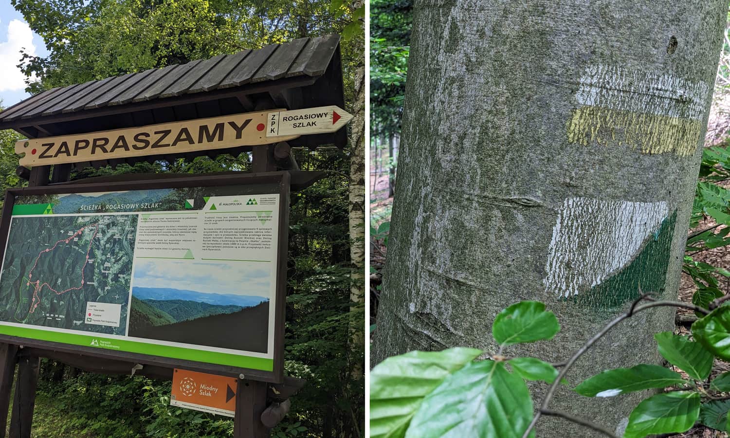
ATTENTION! The trail is quite long, there are several steep climbs along the way. The trail signage varies in clarity - it's worth taking a detailed map with you and using GPS location along the way!
Beginning of the Deer Trail
The Deer Trail begins in Roztoka Ryterska, just behind the ski slope, near the rope park Ablandia. The easiest way to get there is by car (large free parking lots). From the nearest train station in Rytro, you can walk along the asphalt road (blue trail).
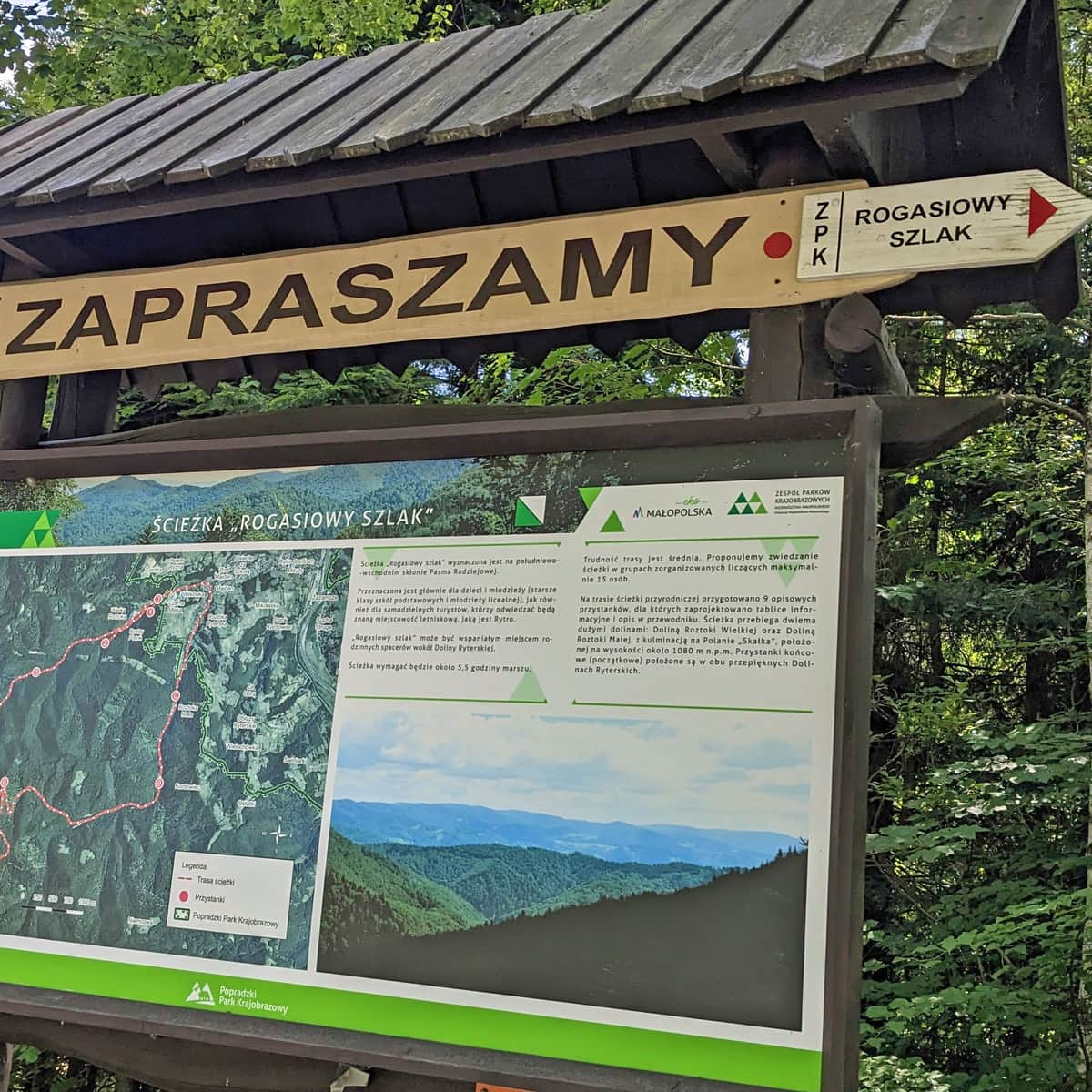
Course of the Deer Trail
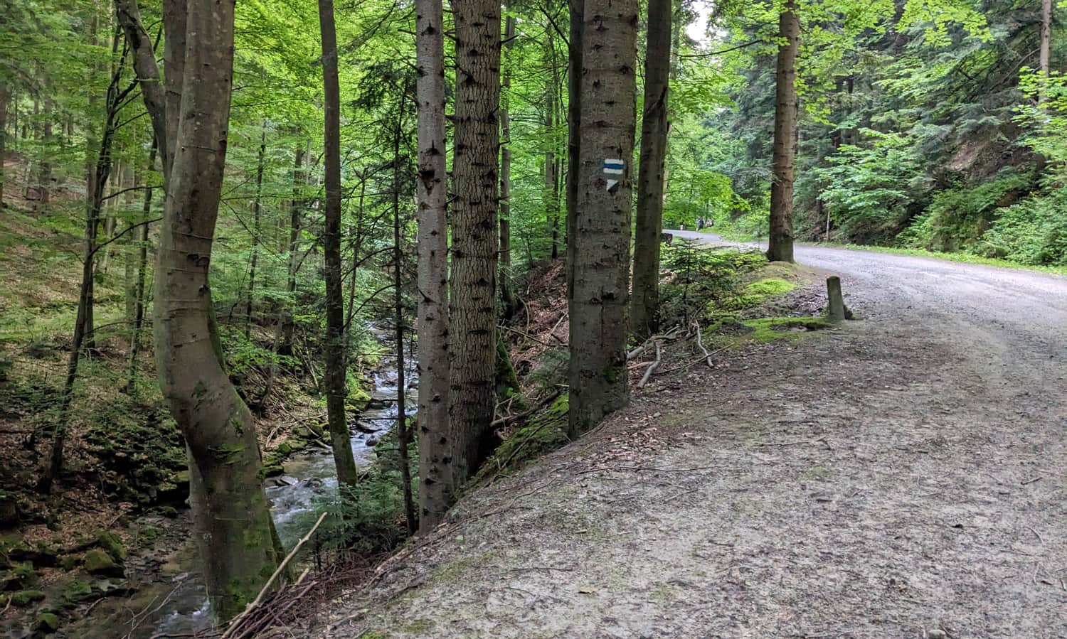
To the first (Katarzyna Source) and second (Rogaś Source) stop we depart on a narrow forest path on the right side of the stream (so the stream is on our left side!), after which... we turn back to the main asphalt road (unless we manage to wade across the stream to its other side).
The second section of the trail leads quite a long way through the Great Roztoki Valley. The road is comfortable, wide:
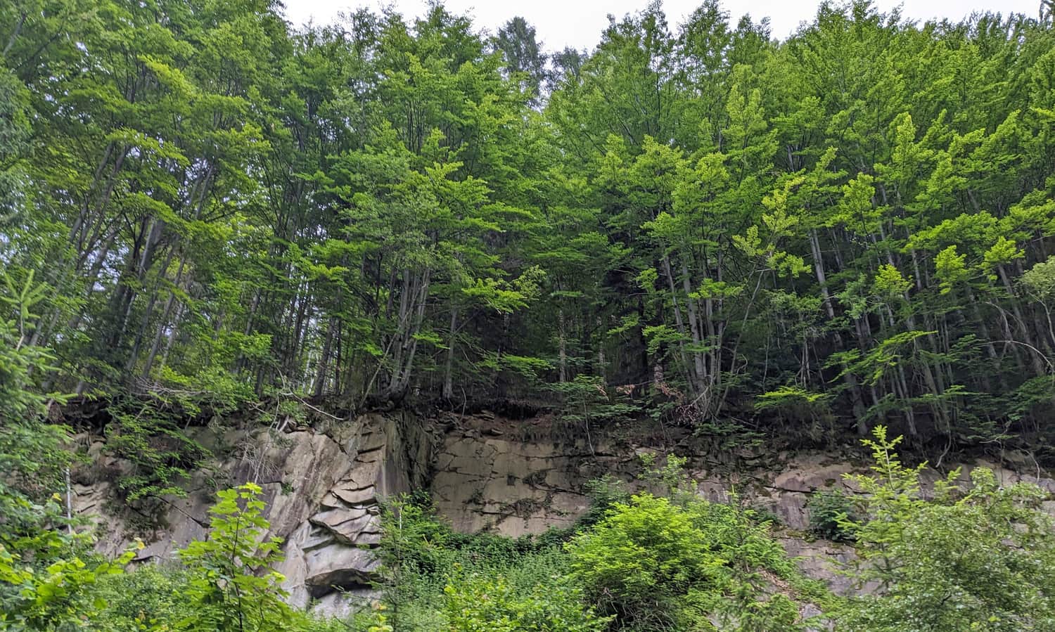
The third stop of the path is the Old Quarry:
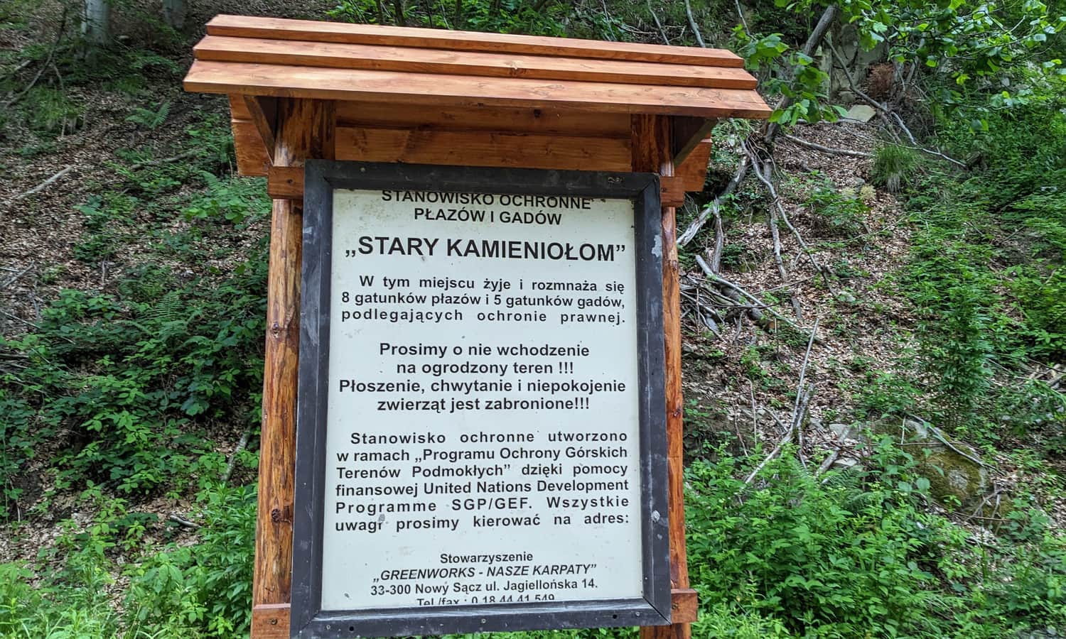
At the quarry there is a large shelter with benches - it's worth planning your first stop here!
Soon after the quarry, our path leaves the comfortable road along the stream and turns left, up the Baniska stream. Here are the next stops: 4. Beech Forest and 5. Popielicowa Cottage (we can't enter the cottage, it's private property).
Deer Trail - viewpoint
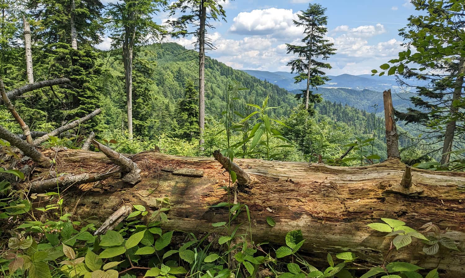
After a fairly steep climb, we will reach the Mićkowski Crossroads (stop no. 6). Here we have a view to the east: on the arm of Niemcowa and Kordowiec and the Jaworzyna Krynicka Range:
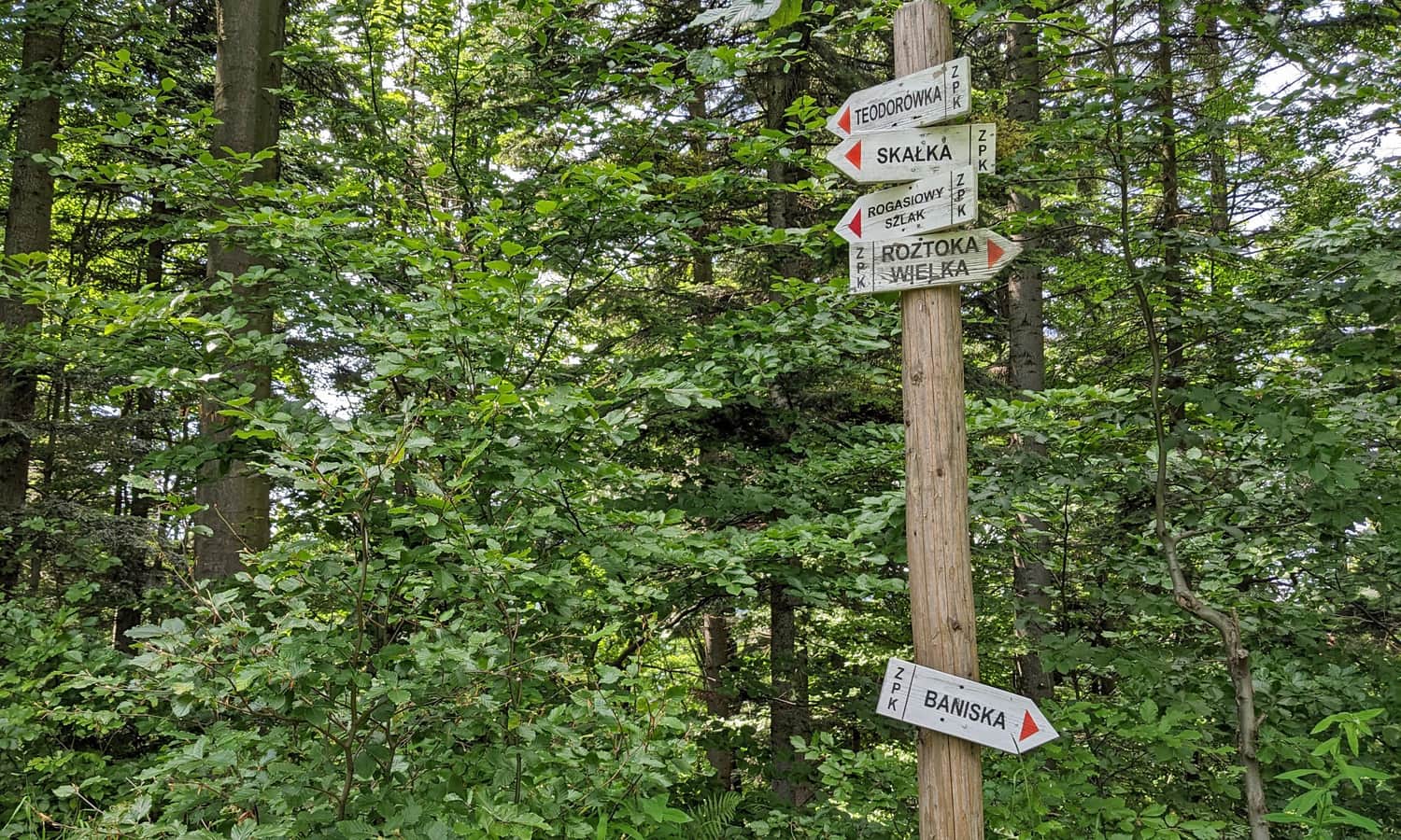
At the Mićkowski Crossroads, the Deer Trail branches into 4 roads. To "check" all stops, we must, standing with our backs to the sign at the Mićkowski Crossroads, choose the first road on the right, which will lead us to the border of the Baniska reserve (stop 7. Baniska Reserve).
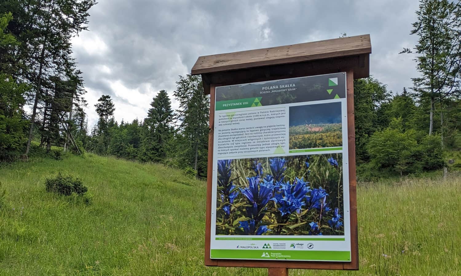
Then we walk for a while along the border of the reserve, turn left and reach a large forest clearing. This is Skałka Clearing (stop no. 8).
From Skałka Clearing we go back down to the Mićkowski Crossroads, then we make a 180-degree turn and go down the path to the Small Roztoki Valley.
The last stop no. 9 Reglowa Meadow is located in the Small Roztoki Valley. After about 20 minutes we will reach the end of the path at the forester's lodge in Small Roztoka (there is a parking lot, trout fryer).
Unfortunately, the end of the path is quite far from its beginning... If we need to return to the parking lot at the beginning of the path, we have about 2.5 km walk on asphalt to Roztoka Ryterska
Deer Trail - guide, description of stops
It's worth taking a guide with you on the Deer Trail! You can DOWNLOAD HERE >>> the PDF version (for printing or using in electronic version)