Great Roztoka Valley and Konieczna Meadow
Town: Rytro Nearby: Nowy Sącz| Distance | 6.4km |
|---|---|
| Time | 3h 9min |
| Ascents | 622m |
| Descents | 23m |
stroller Route for stroller (small wheels)
beach_access Route in the shade
restaurant Restaurant or bar nearby
sports_basketball Playground along the route
sports_tennis Attractions for children
directions_car Access by car
directions_bus Can be reached by bus
train Access by train possible
accessible_forward The route is adapted to the needs of disabled people
The Great Roztoka Valley in Roztoka Ryterska is a picturesque forest walking route accessible to everyone: including toddlers in prams and people with disabilities.
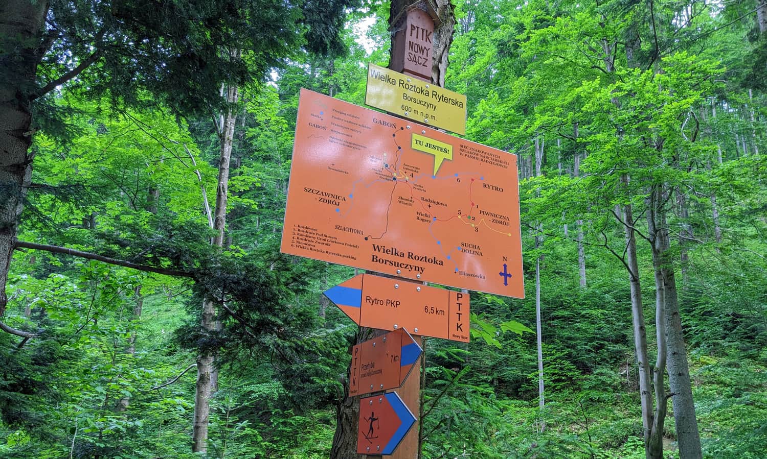
Getting to the Great Roztoka Valley
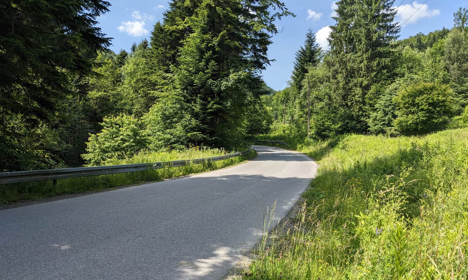
The valley can be accessed from Roztoka Ryterska. You can get here by car - it's best to park near the ski slope, close to the rope park Ablandia.
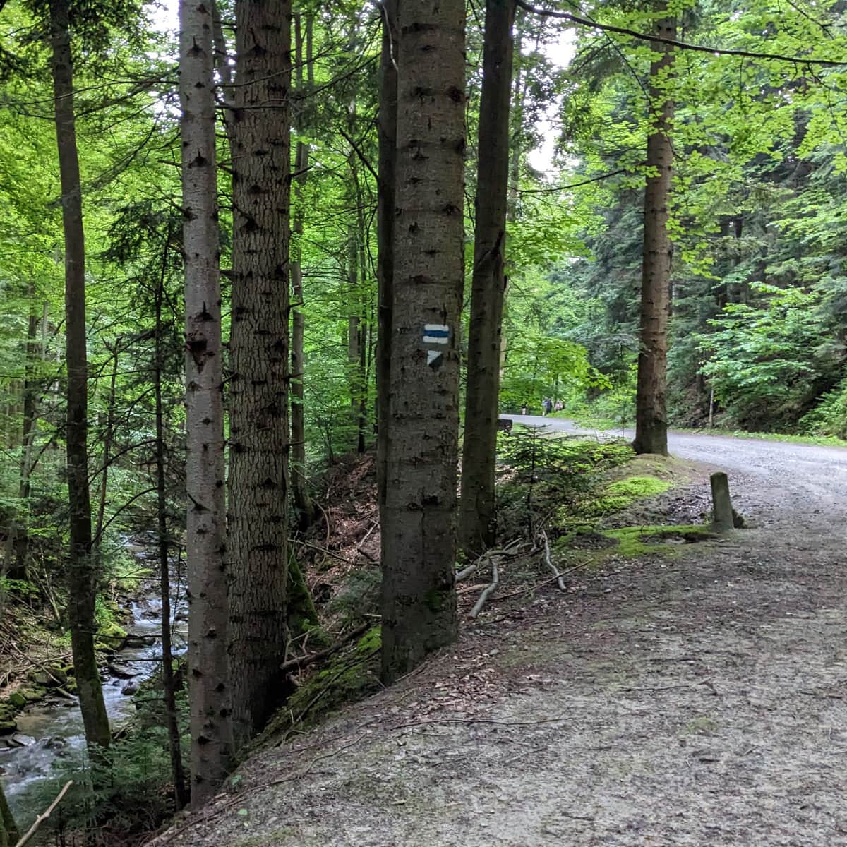
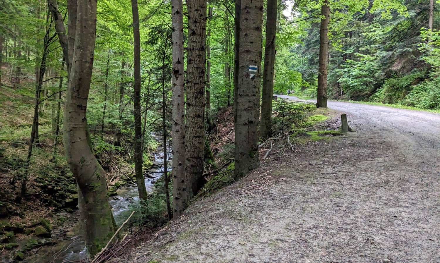
Buses and trains also go to Rytro. From the PKP station, you need to walk to the beginning of the valley along a blue trail on a paved road for about 2.5 km.
Attractions of the Great Roztoka Valley
Luckily, the asphalt ends soon, and a beaten path through the forest will lead us along a picturesque mountain stream. This will be the main attraction on the trail! Along the way, there are places where you can approach the water, and several bridges (in the upper part of the valley).

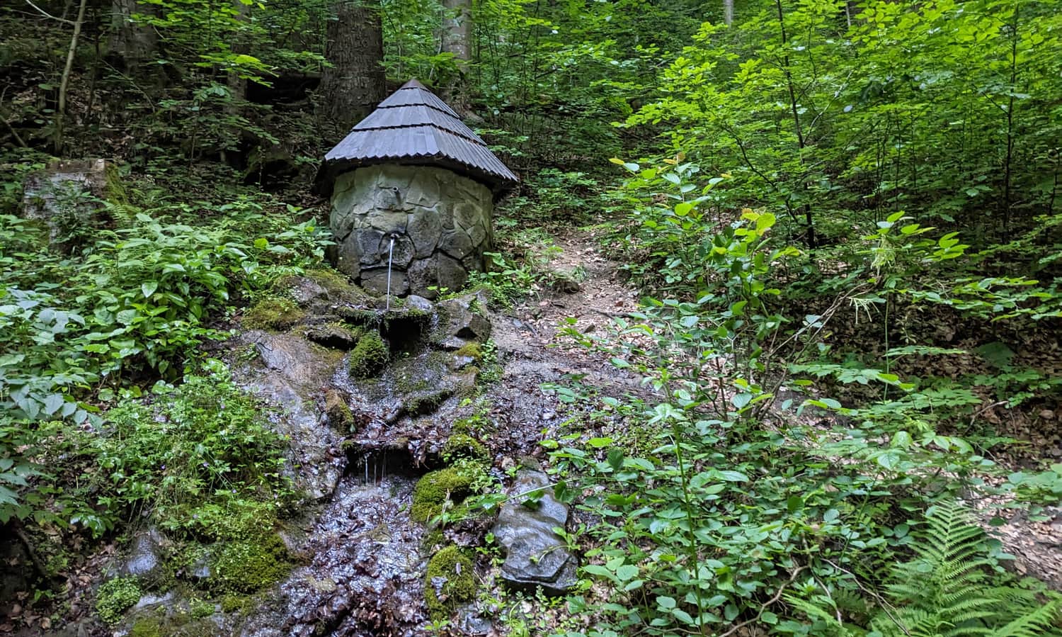
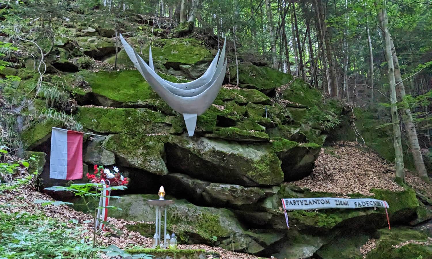
Besides, we also pass a spring and a monument to the partisans:
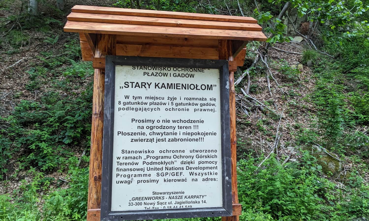
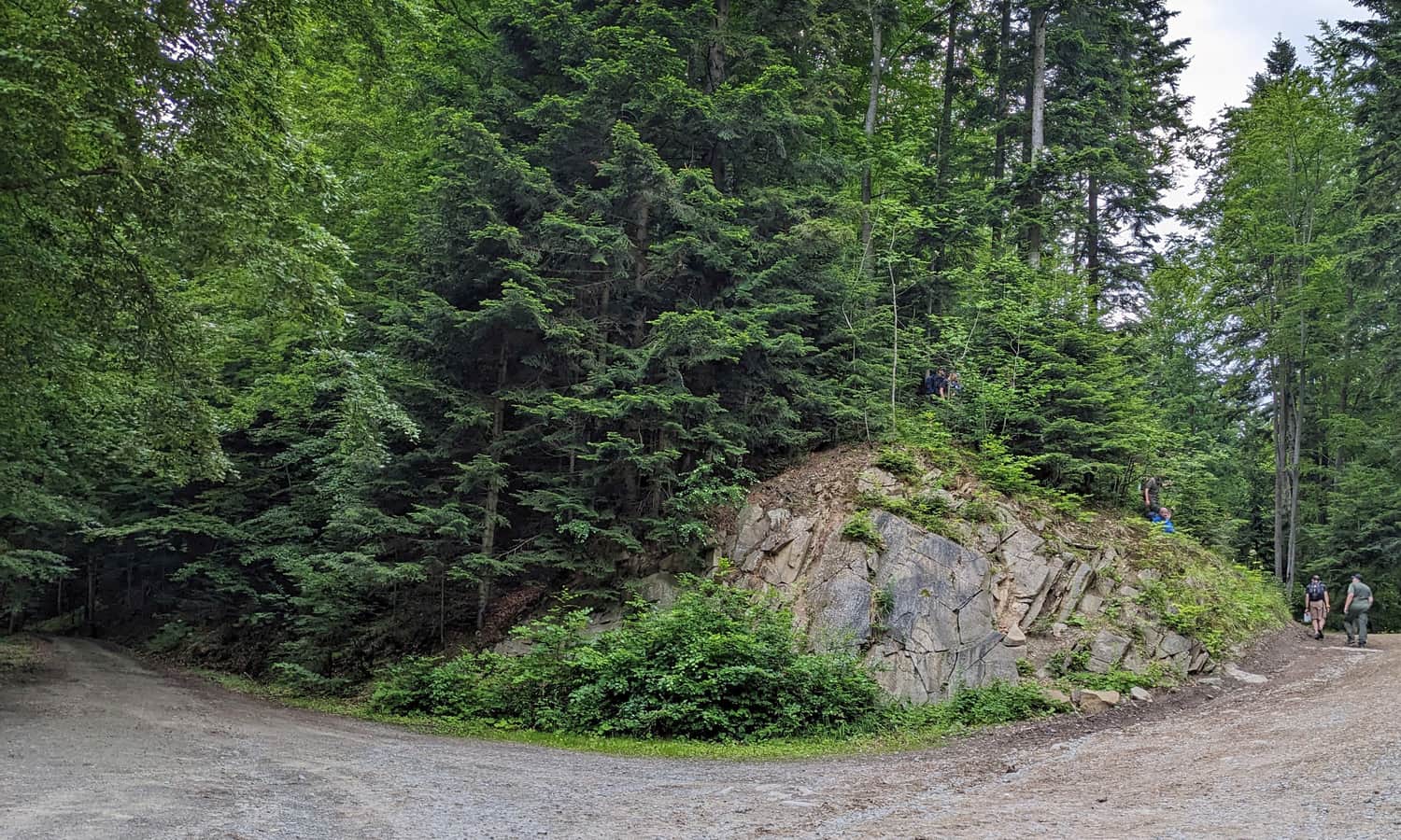
and an old quarry, home to bats and numerous amphibian species. Near the quarry, there is a large shelter with benches.
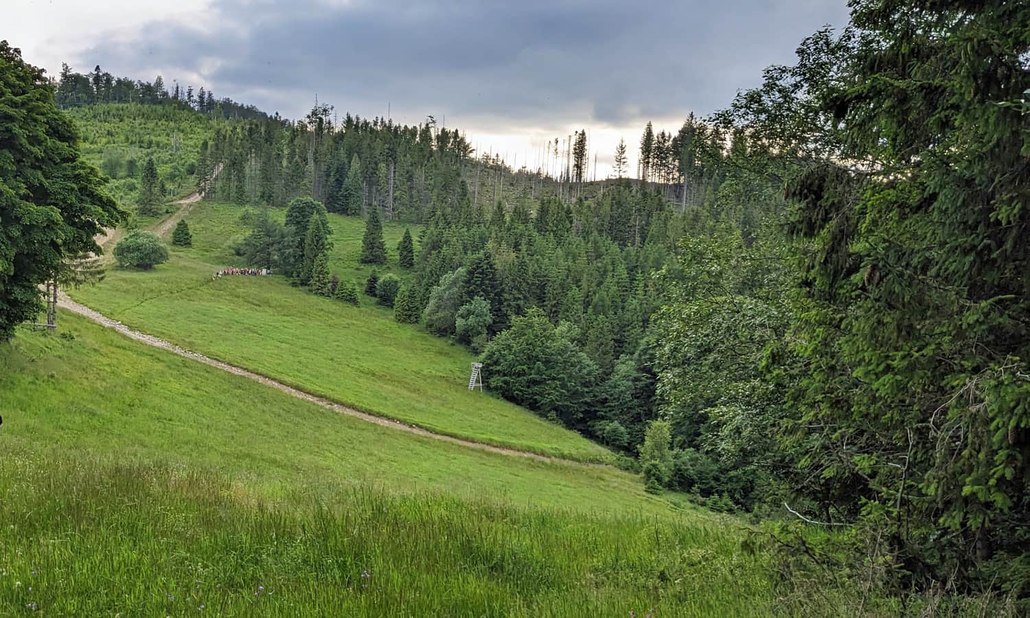
End of the Great Roztoka Valley? Konieczna Meadow?
How far can you go with a pram in the Great Roztoka Valley? Definitely to this junction of forest roads and ski trails:
At this point, forest roads diverge, circling the Groń hill, also known as the Necessary Mountain, from two sides. A unmarked path called Sosnowski's Edge leads through the steep, wild slopes of this mountain, reaching the main ridge of the Radziejowa Range near the northern peak of Złomisty Wierch (this path goes uphill at the rock visible in the photo):
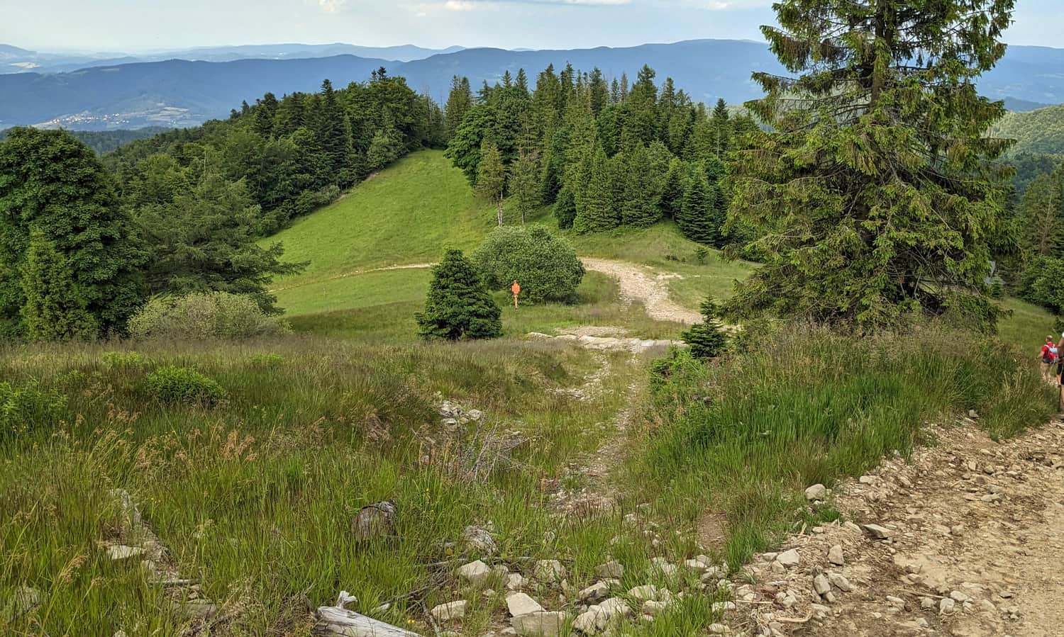
From the Great Roztoka Valley to Konieczna Meadow
If you feel like going further, choose the path on the right at the Borsuczyny intersection. It will lead you along a fairly comfortable forest trail (also marked by a blue ski trail) all the way to the beautiful and scenic Konieczna Meadow - it's really worth it!
Note: towards the end it gets steeper and rockier - with prams, it will definitely be a bit more challenging than the Rytro - Borsuczyny section.
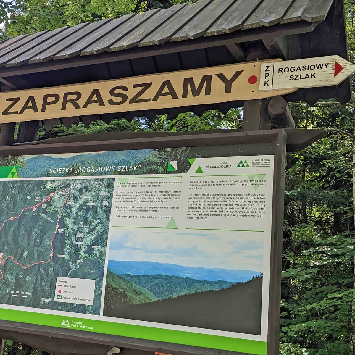
Great Roztoka Valley and Rogasiowy Trail
Yes, this is where Rogaś the goat from Maria Kownacka's book came from! It's worth reading parts of this story to the youngest ones - perhaps right on this trail?
Around Jaworzyna, the Great Roztoka Valley and Little Roztoka Valley, there is a municipal educational trail called "Rogasiowy Trail". Several stops of the path are located in the valley itself (e.g., the aforementioned Old Quarry).
We write about the entire Rogasiowy Trail here:
Medium
Rytro: Deer Trail - description and map