Red Trail from Rymanów to Iwonicz
Nearby: Krosnobeach_access Route in the shade
directions_car Access by car
directions_bus Can be reached by bus
The Red Trail connecting two health resorts in the Subcarpathian region, Iwonicz Zdrój and Rymanów Zdrój, is a fairly easy forest route that allows for a pleasant walk to the neighboring town.
Start of the Red Trail in Rymanów Zdrój
The Red Tourist Trail (which is the longest in Poland, known as the "Main Beskid Trail") cuts through Rymanów Zdrój in the southern part of the town, near the historic Villa Maria and the Black Stream Valley (S. Wyspiańskiego Street). On the western side, the red signs turn off the main road opposite St. Stanislaus Church.
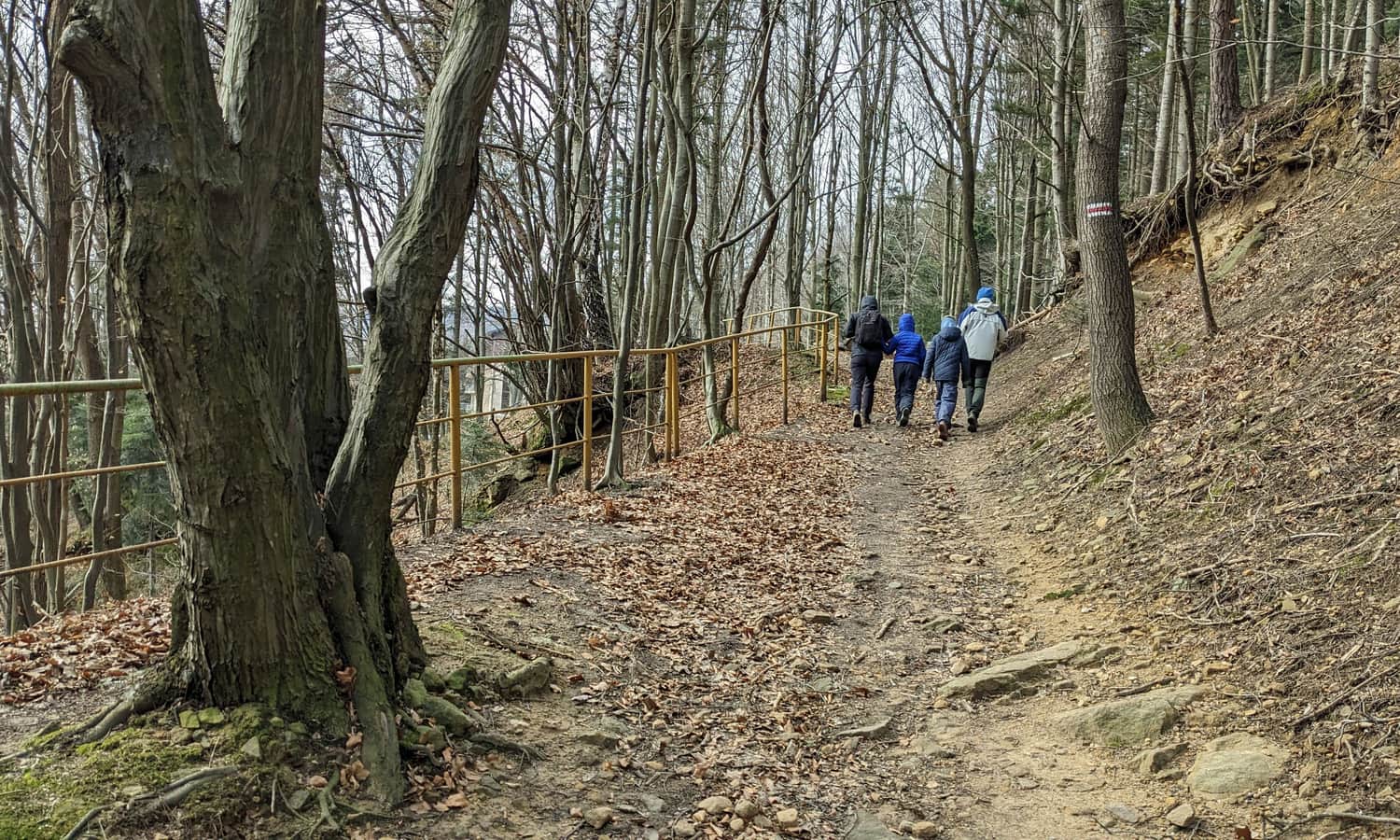
Red Trail from Rymanów to Iwonicz Zdrój
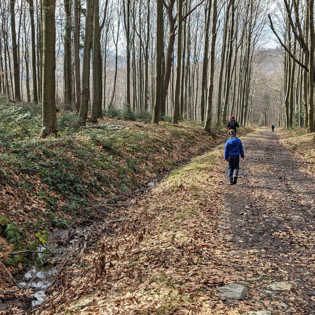
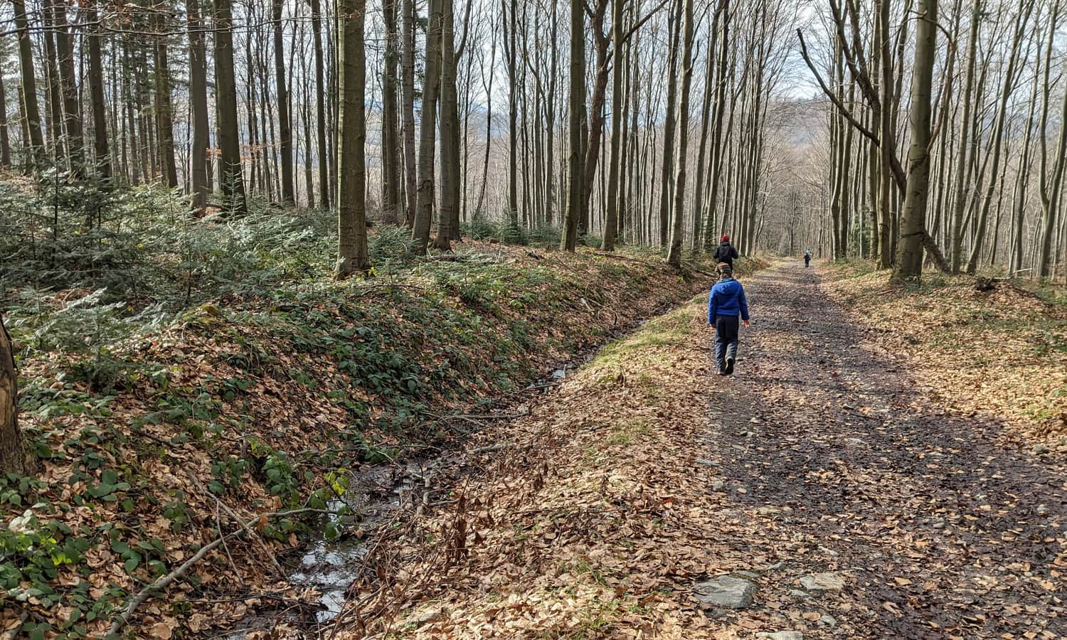
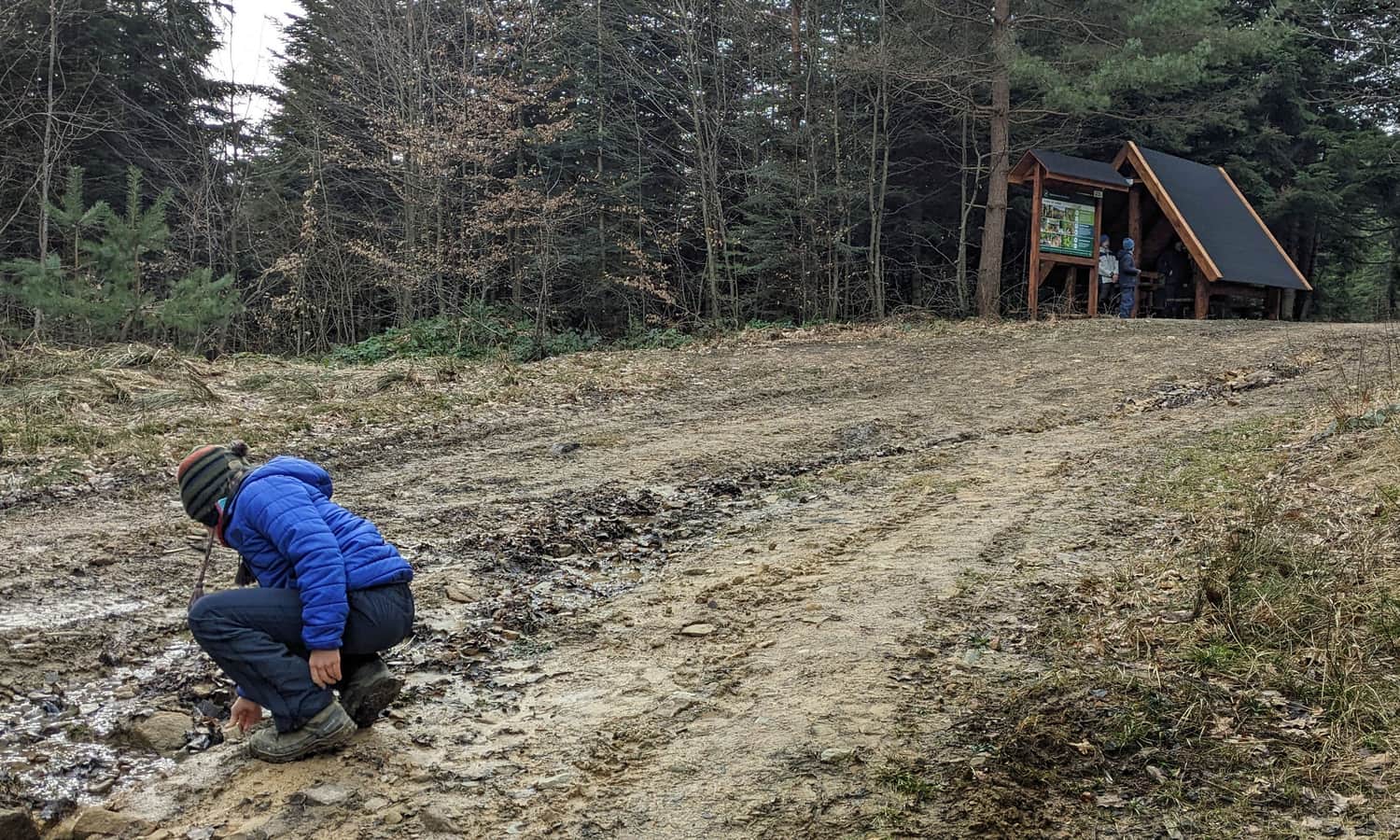
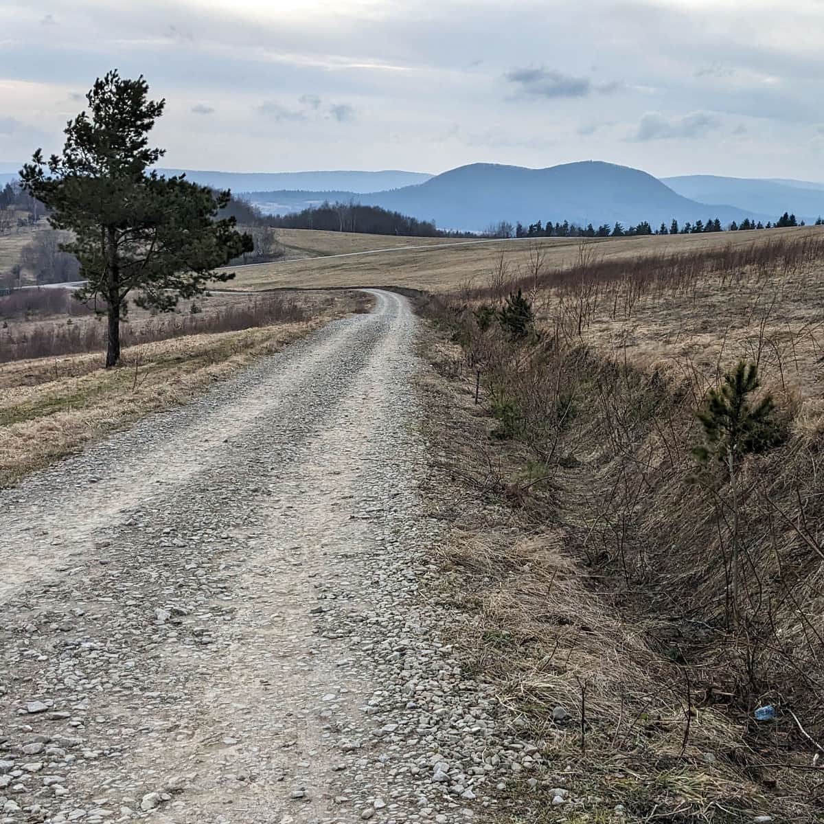
The Red Trail leads us along a comfortable forest road through the southern slopes of the hill rising above Rymanów, called Mogiła. Shortly after entering the forest, a covered shelter awaits us.
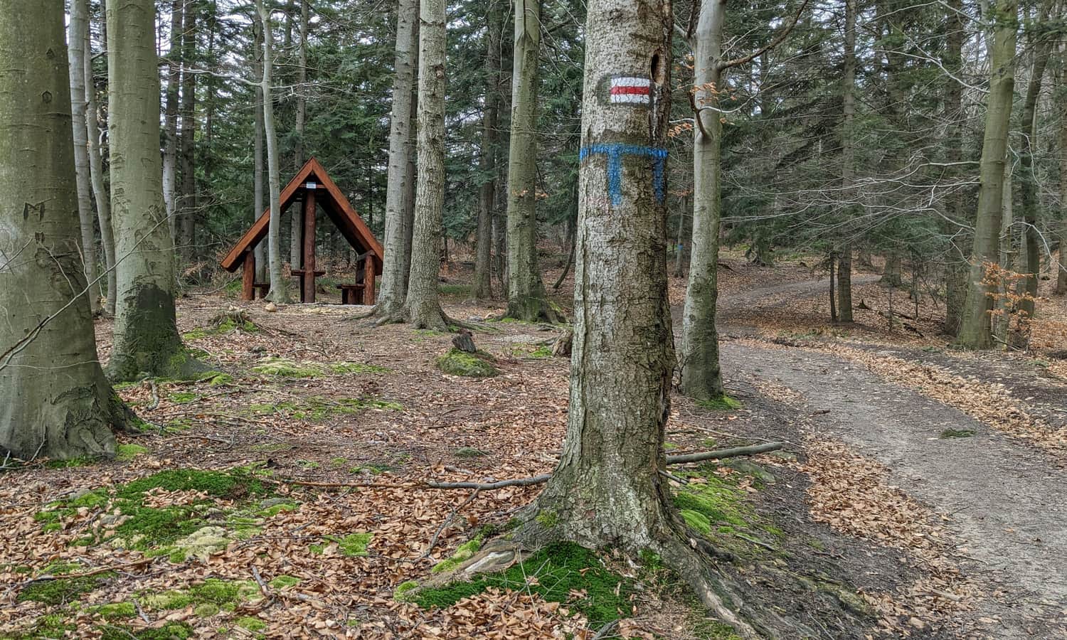
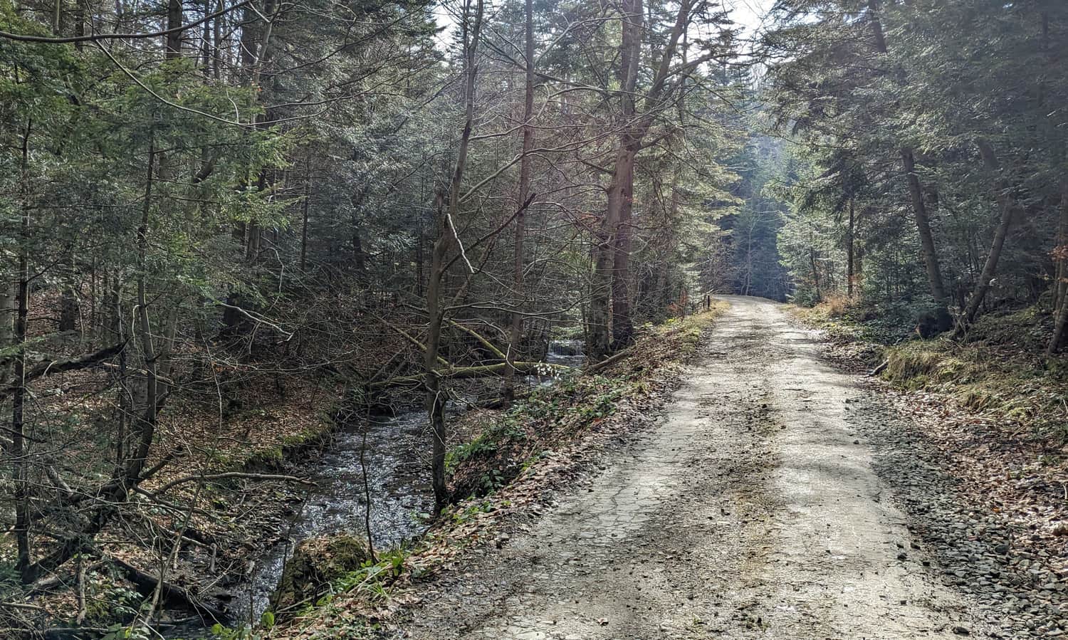
After circling the top of Mogiła, the trail descends to the valley of the Świętokrzyski Stream (also known as Kościółkowa Water), which we can cross by hopping over stones, or (on a hot day) - wading through.
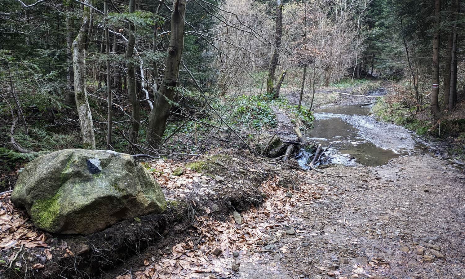
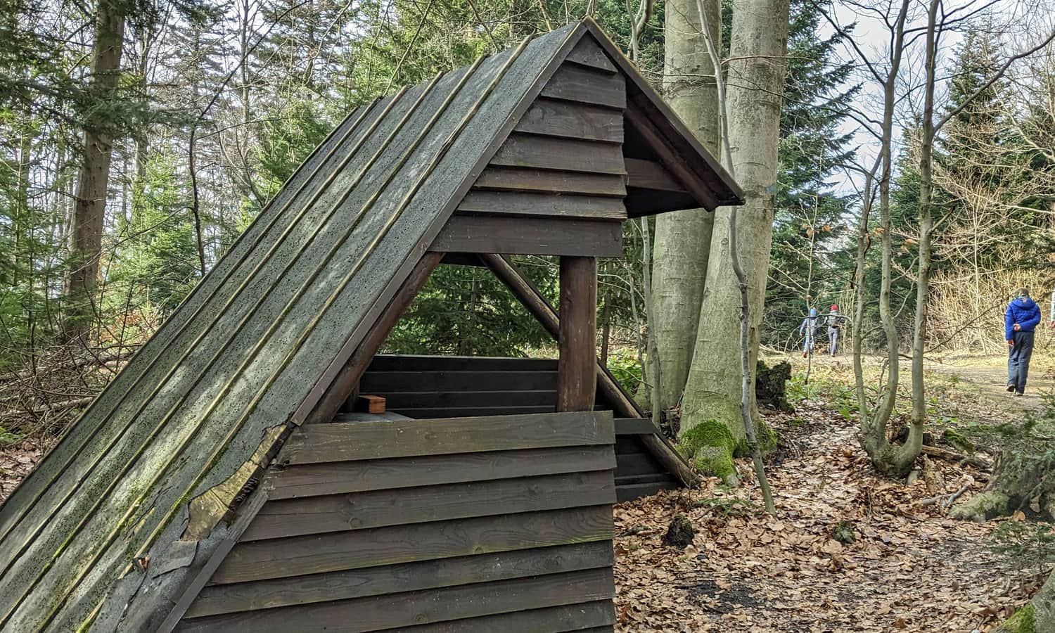
Right after a fairly steep climb out of the gorge through which the stream flows, a wide forest road and a second shelter await us, perfect for a break on the route.
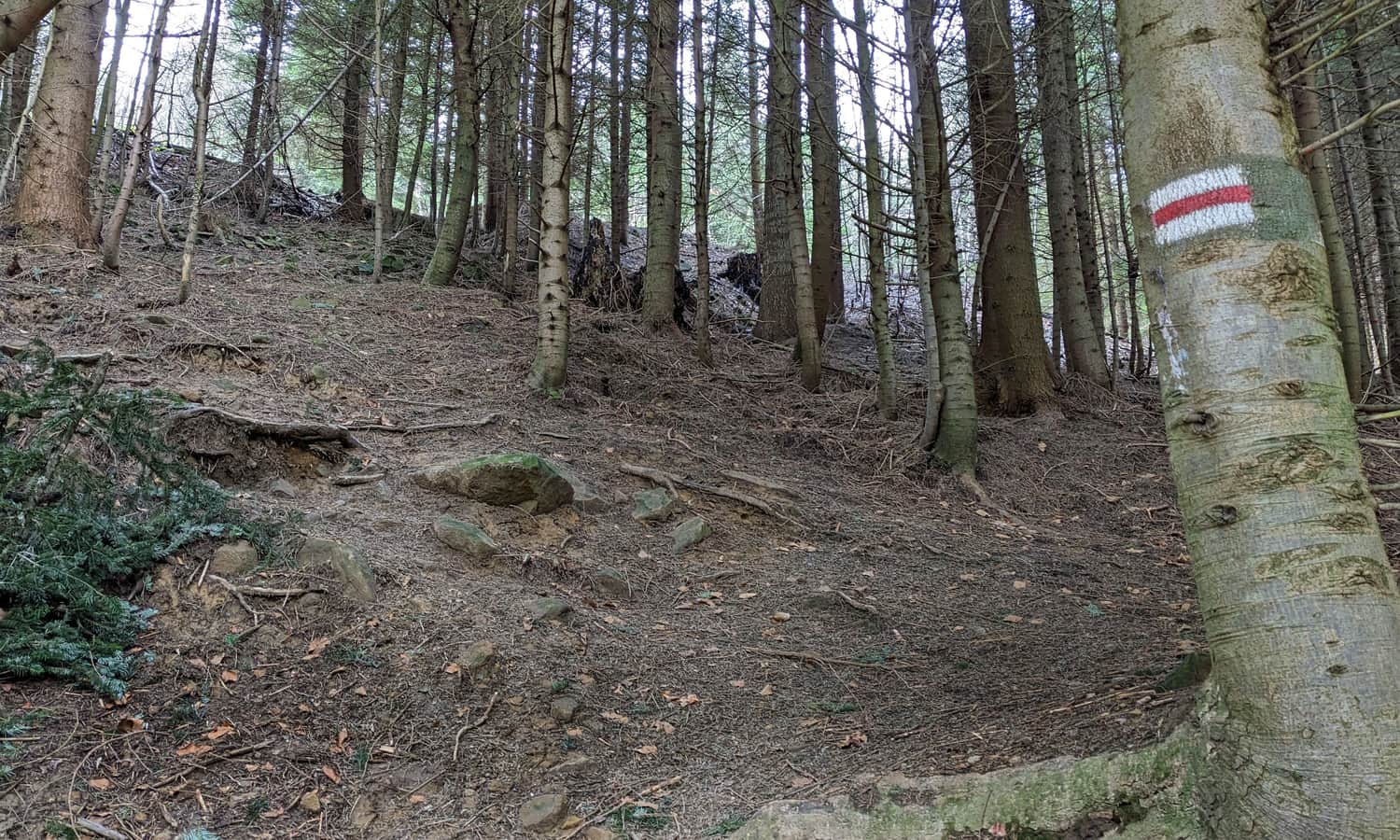
The second half of the trail from Rymanów Zdrój to Iwonicz involves traversing the top of Sucha Góra. Upon reaching the highest point of this section of the route, a third shelter awaits:
...and then it's all downhill!
The final section of the trail is a wide forest road down the Flora stream. We reach Zdrojowa Street and the first buildings of Iwonicz-Zdrój.
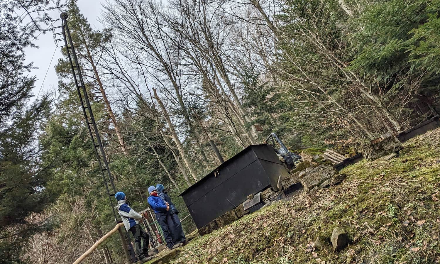
Along the way, it's worth paying attention to the remnants of oil wells - right by the trail, on the left side.
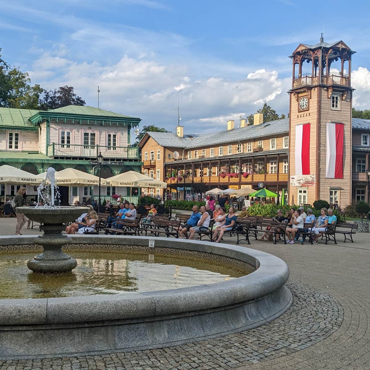
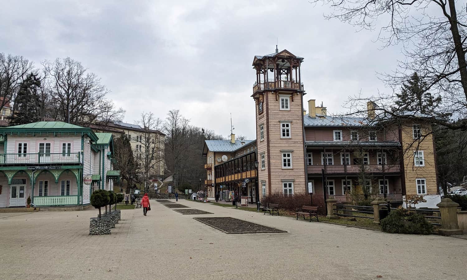
Iwonicz - Zdrój - historic town center
From Zdrojowa Street to the center of Iwonicz Zdrój, we still have to walk a narrow path along the edge of the forest. Keep an eye on the red signs, which will lead you straight to Słoneczna Avenue and the main Dietl Square with a mineral water drinking fountain and the historic spa buildings.
More about Iwonicz Zdrój and its attractions:
Iwonicz Zdrój - trails and attractions in the area
Iwonicz Zdrój is one of the oldest Polish health resorts. This small town is located among the so-called Rymanów Hills in the Carpathian Foothills and is known for its intimate atmosphere, rich network of trails and local walking paths in the area. ...
Return from Iwonicz Zdrój to Rymanów
We can return to Iwonicz the same way, or for a change of scenery, take the scenic green trail through Przymiarki:
Medium
Green trail through Przymiarki from Iwonicz to Rymanów


More in the Region Beskid Niski (Mountain range of the Low Beskids (Beskid Niski))