Green trail through Przymiarki from Iwonicz to Rymanów
Nearby: Krosnowb_sunny Route in the sun
directions_car Access by car
directions_bus Can be reached by bus
The green trail connecting Iwonicz Zdrój and Rymanów Zdrój is also known as the "Will we see the Tatras?" path. From this name, it's easy to guess that it's a scenic route, leading us, among other places, to the famous viewpoint "Przymiarki".
Start of the green trail in Iwonicz Zdrój
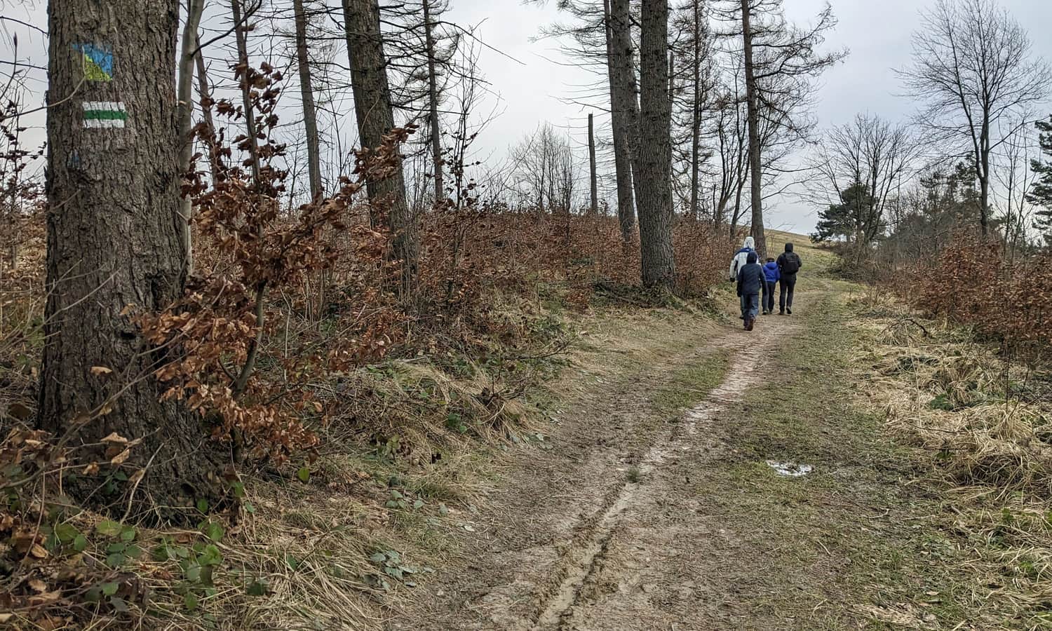
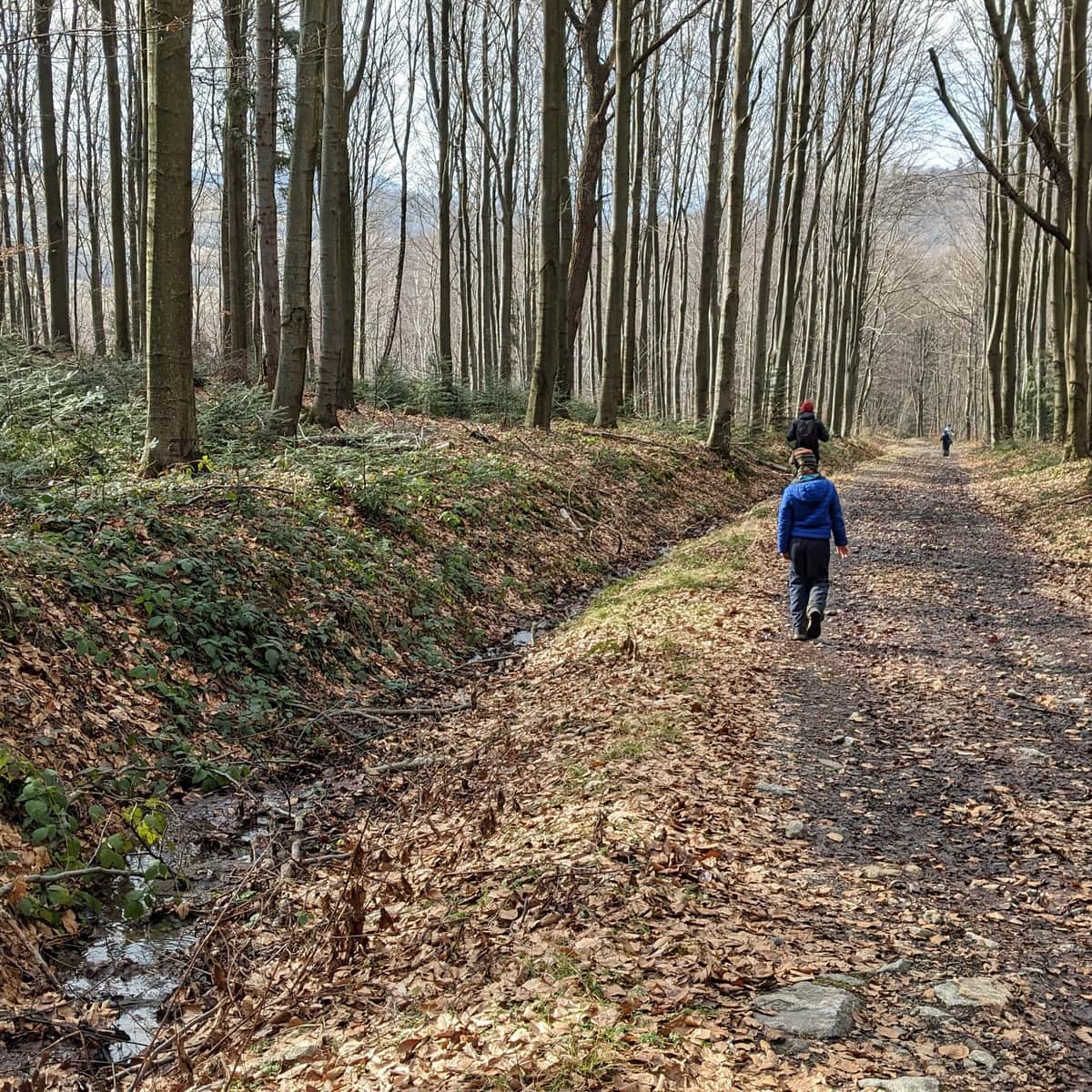
The green trail starts in the town center and leads through its historic center to the south. Near the amphitheater (and former ski jumps!) the green signs turn left, into the forest.
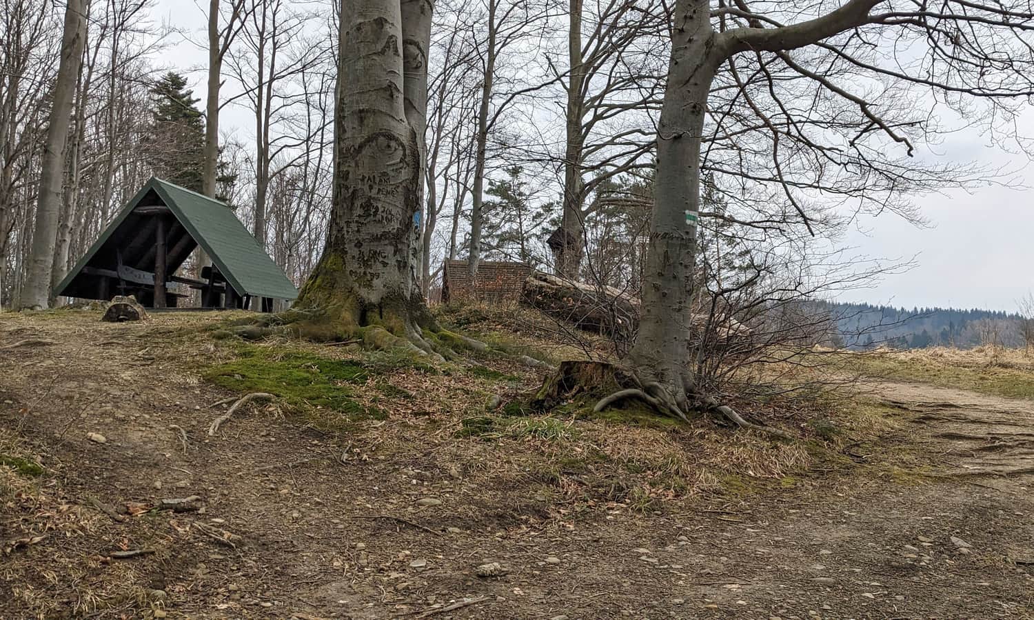
Initially, the forest road is wide and comfortable, but it consistently climbs uphill. About 20 minutes after entering the trail, we reach the first shelter and the border of the forest and meadows. The promised views will start soon!
Green trail: Iwonicz Zdrój - Przymiarki - Rymanów Zdrój
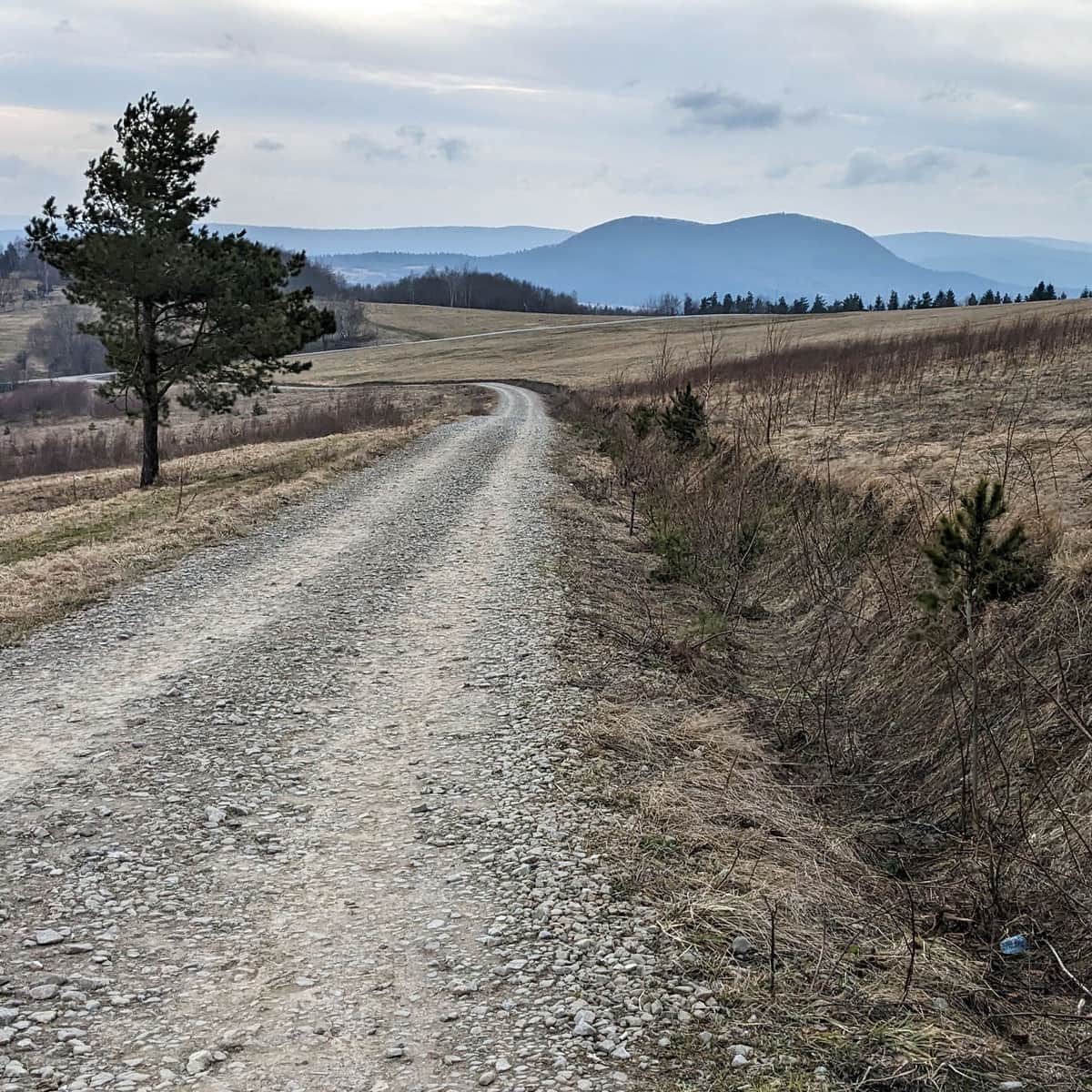
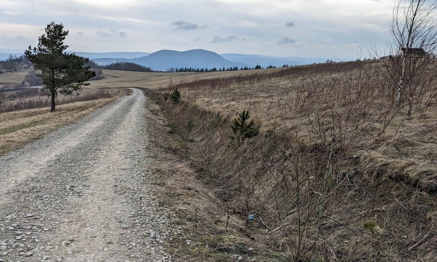
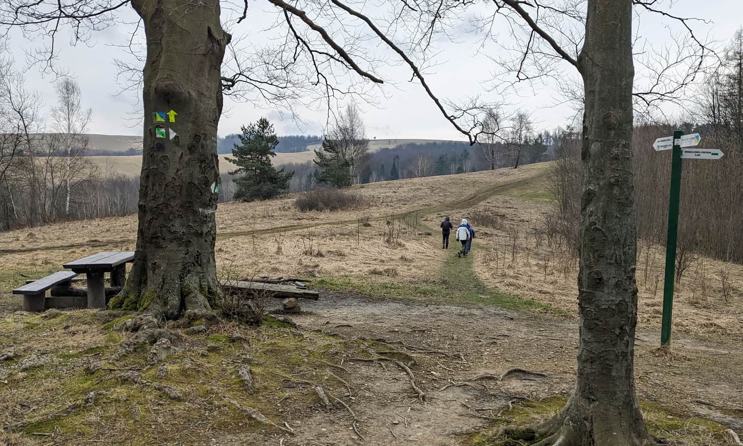
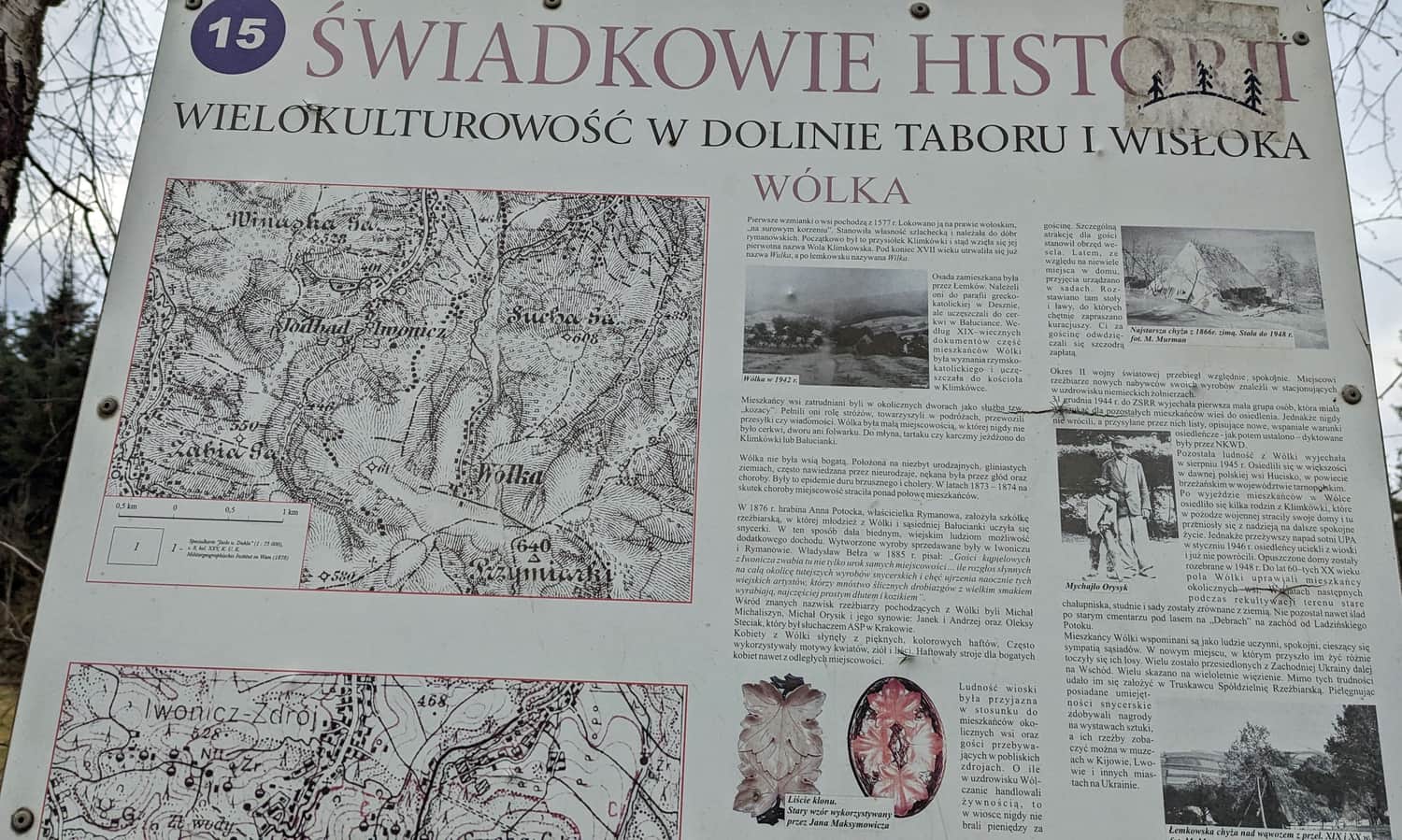
After leaving the forest, we head south along the ridge of the meadows to a small grove. It's hard to believe that these scenic meadows once housed the farms of the Lemko village of Wólka, famous for its folk wood carving.
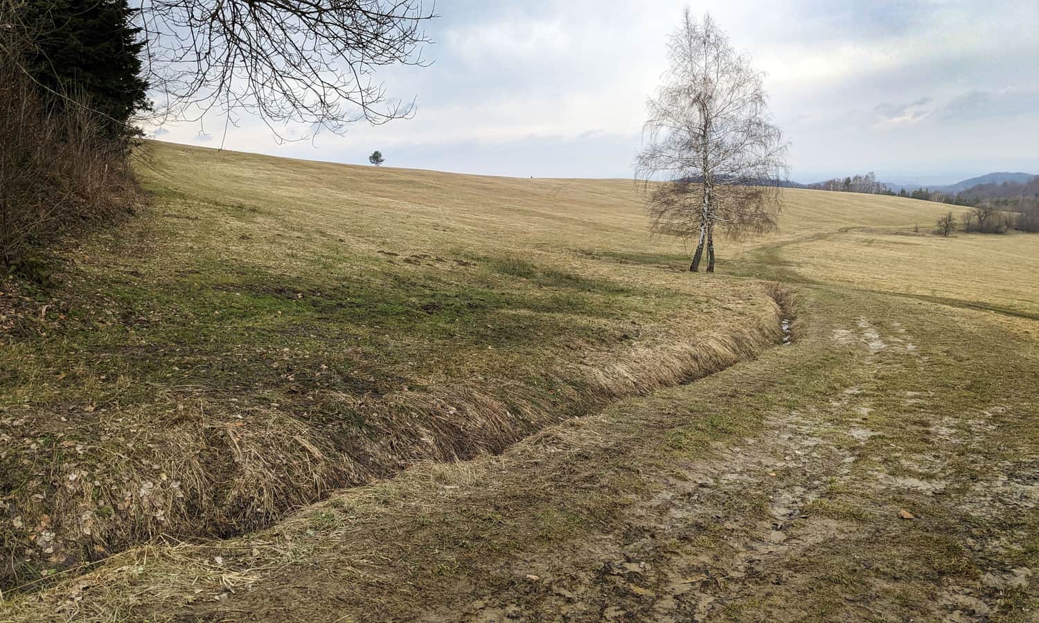
After passing through a small grove, we come out onto the extremely scenic ridge of Przymiarki.
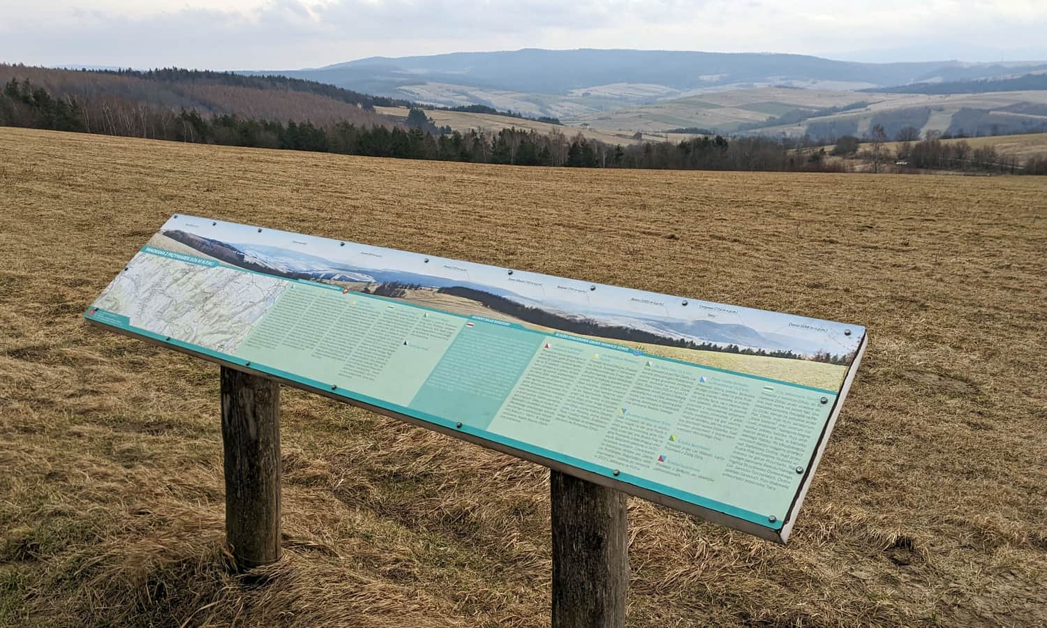
Przymiarki - will we see the Tatras?
The name of the path promises a lot, however, to see the peaks of the Tatras from Przymiarki, you need to be lucky with the weather and visibility... If we hit such favorable conditions, we can look for the Tatras to the left (south) of the distinctive two-peak Cergowa Mountain.
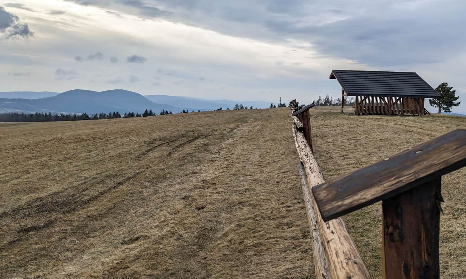
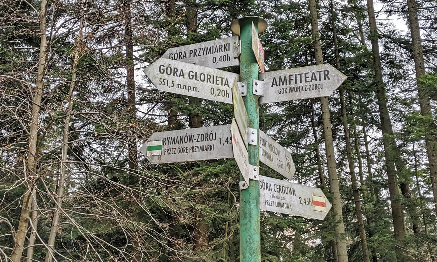
Beyond the meadow divided by a wooden fence (which protects a private field from tourists driving on it), you'll find a large covered shelter, a cross, signposts for trails and walking paths, and a board describing the panorama.
Przymiarki - Rymanów Zdrój
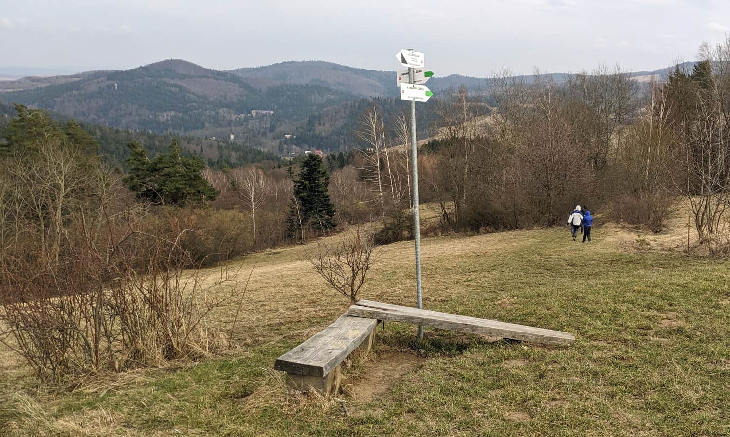
From the viewpoint, we continue east, but not along the ridge towards the Kopa peak, but its northern slopes - watch out for signs!
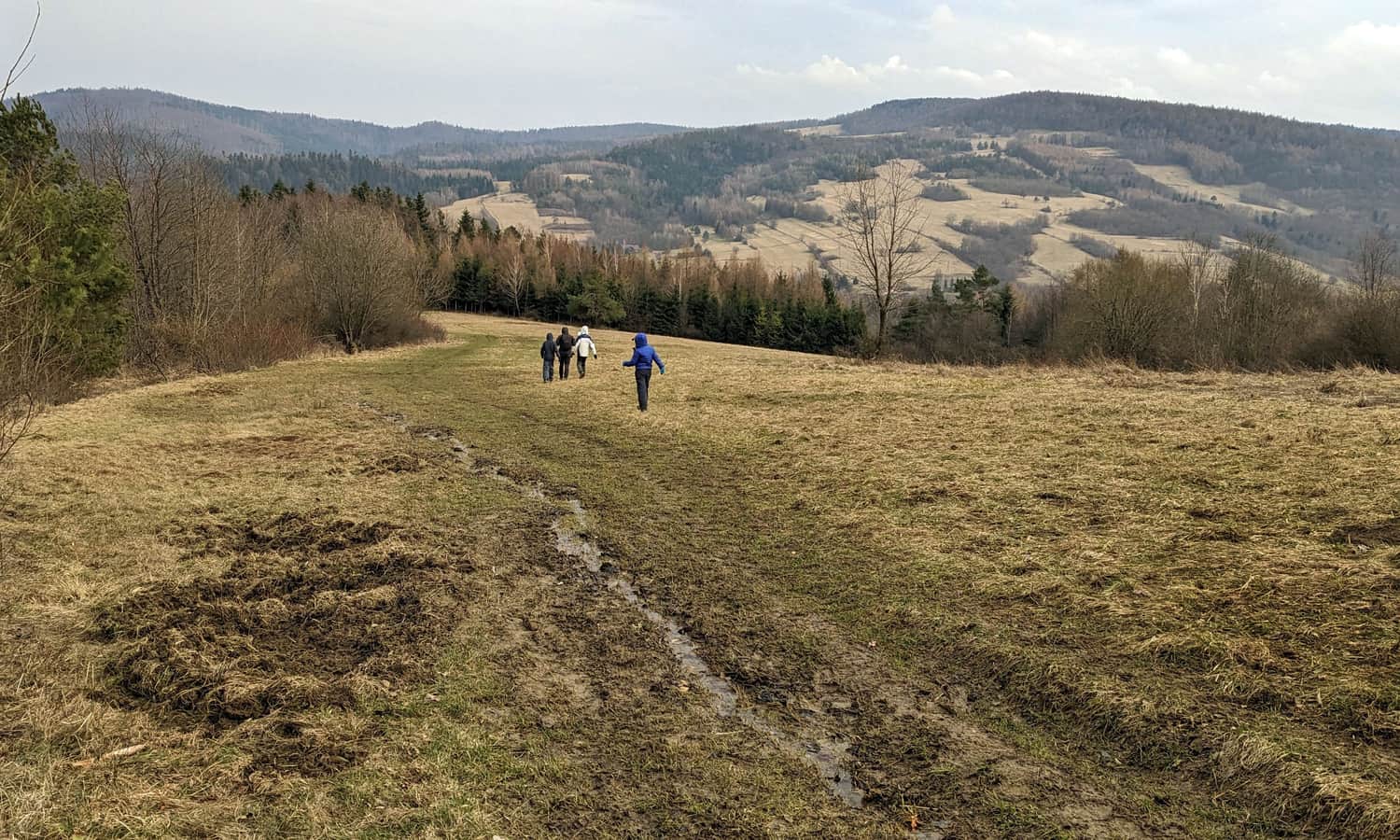
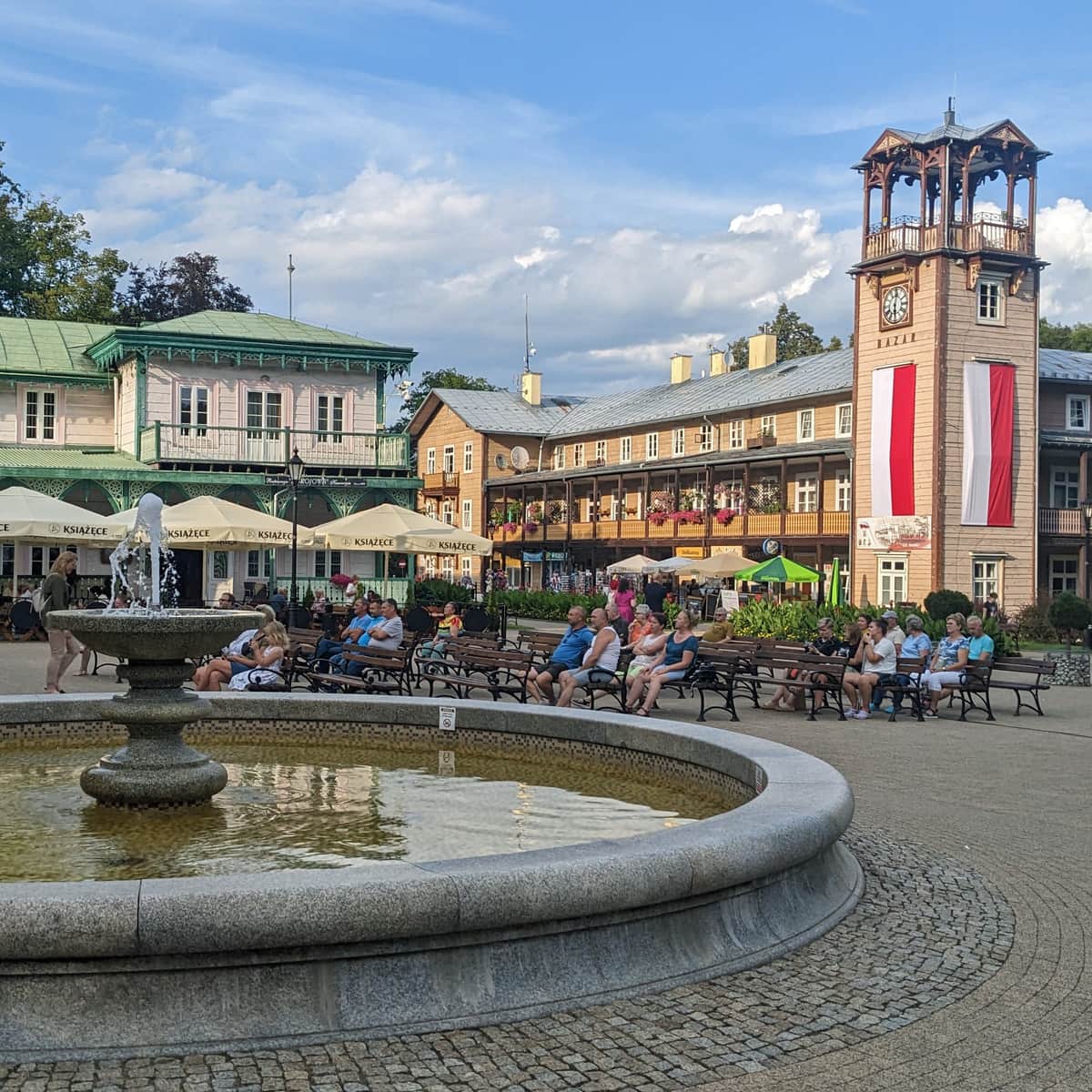
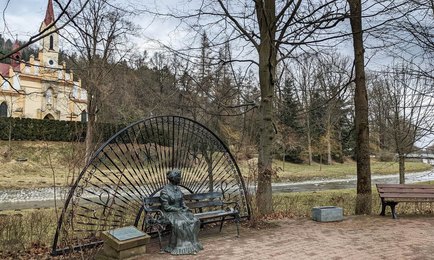
We descend along the edge of the forest and meadows to the southern part of Rymanów-Zdrój, precisely to Spacerowa Street, and then along the Tabor stream to the Spa Park in the town center.
Back to Iwonicz Zdrój
We can return to Iwonicz Zdrój the same way, or for a change, take the red trail through the forest. Note: there are a few more ascents and a small stream crossing on the way!
Medium
Red Trail from Rymanów to Iwonicz


Publish Date:
Last Updated:
More in the Region Beskid Niski (Mountain range of the Low Beskids (Beskid Niski))