Loop: Jagniątkowo - Coral Path - Snowy Kotły - Jagniątkowo
Nearby: Jelenia GóraCountry: Polska, Czechy
beach_access Route in the shade
wb_sunny Route in the sun
restaurant Restaurant or bar nearby
wc Toilet along the route
A long but very scenic route. Along the way, there are many attractions and a shelter. Despite some significant inclines, there are no very difficult or steep sections (such as exhausting high rocky steps).
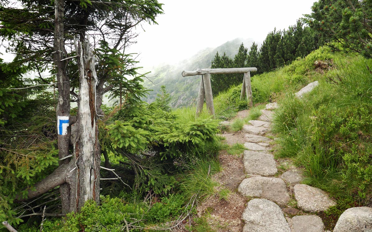
Blue Trail from Jagniątkowo - Coral Path
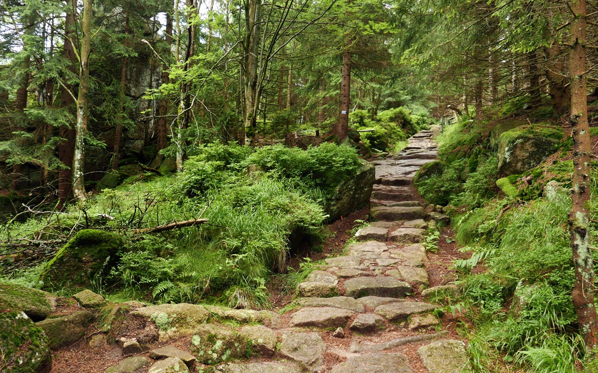
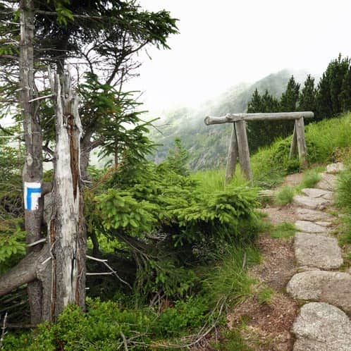
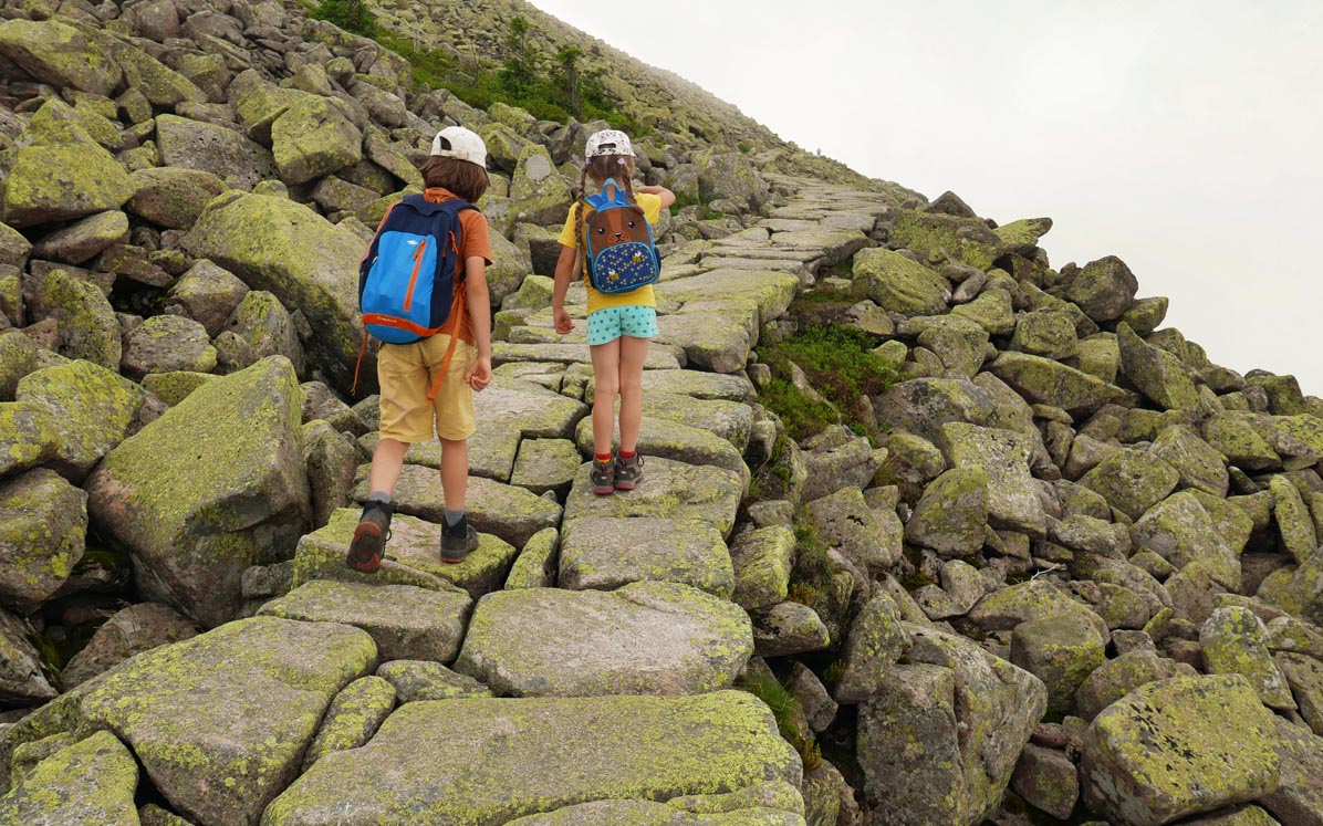
We start from Jagniątkowo on the blue trail, also known as the Coral Path. Along the way, there will be informative and educational signs.
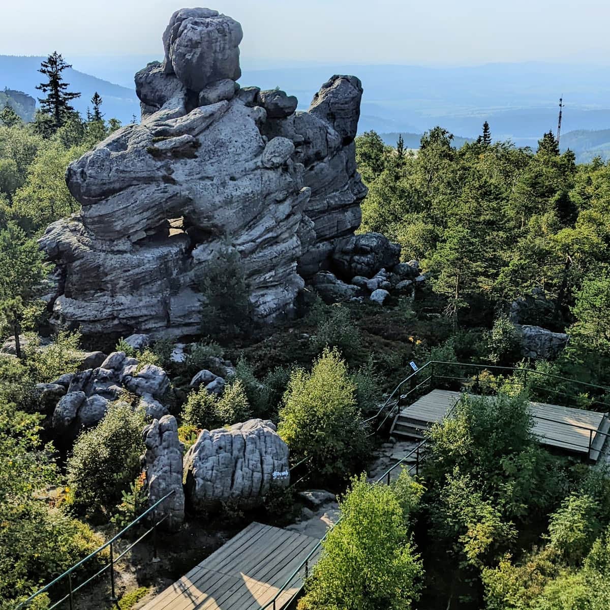
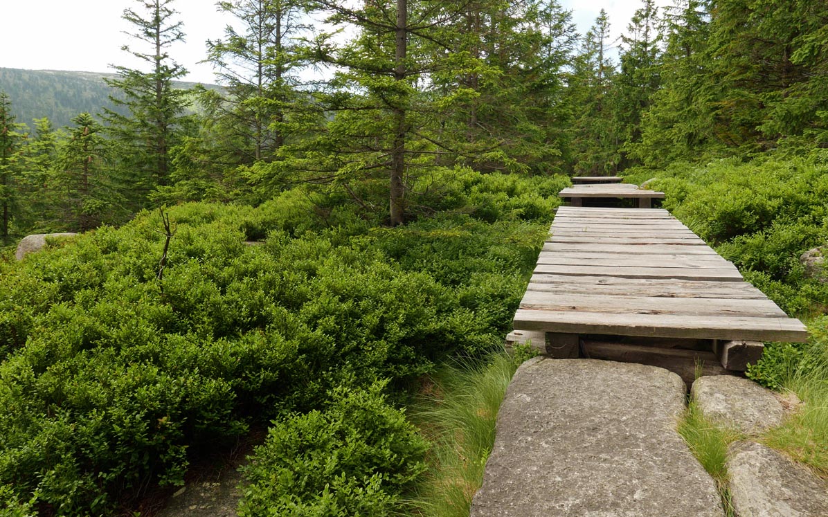
We will also reach the rocks called Paciorki and a viewpoint. We will mainly be climbing, but there will also be flat sections with wooden walkways.
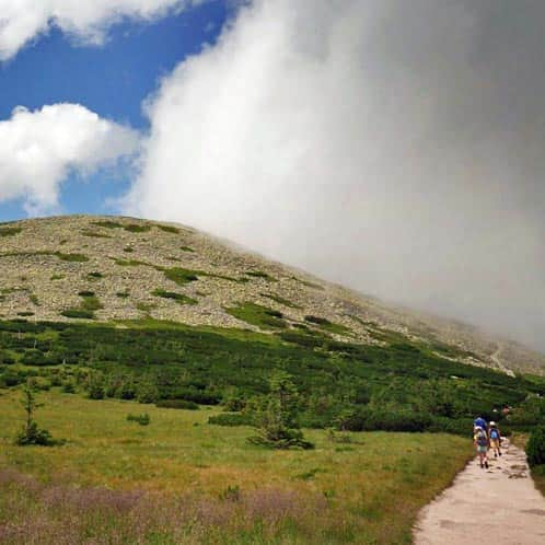
The most challenging section awaits us on the slopes of Czarny Kocioł Jagniątkowski, just before Czarna Przełęcz (Black Pass) - but the views will be worth it!
More photos from the Coral Path:
Medium
Blue Trail from Jagniątków: Paciorki, Coral Trail, and Śmielec

From Czarna Przełęcz to Śmielec to Śnieżne Kotły
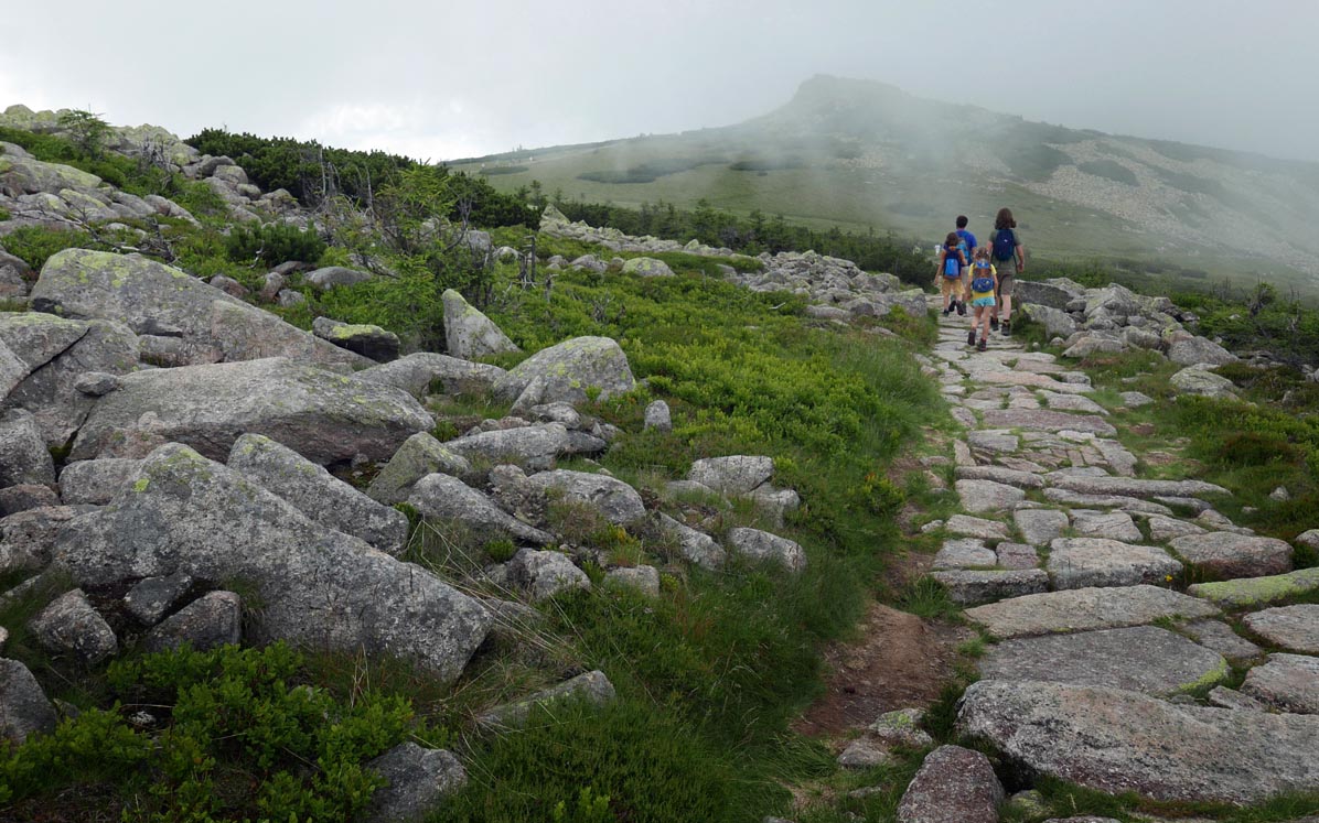
After a short rest at Czarna Przełęcz (the Polish-Czech border, a trail junction), we continue along the ridge on the red trail towards Śmielec.
The path to Śmielec is rocky but not too difficult:
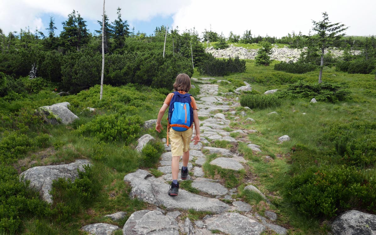
Descending from Śmielec, we walk past the picturesque Wielki Szyszak, along its rocky slopes.
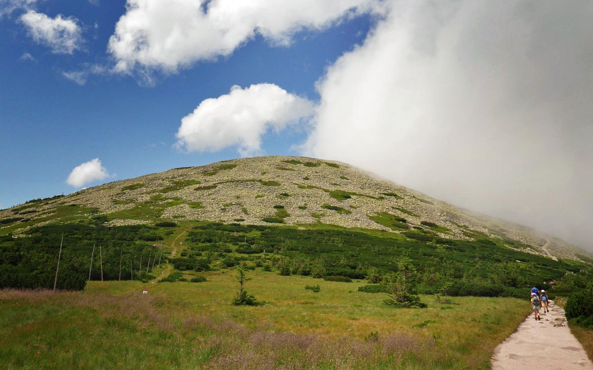
The path along Wielki Szyszak's slopes is rocky, but comfortable and safe.
Going downhill - a view of Śnieżne Stawki (Snowy Ponds):
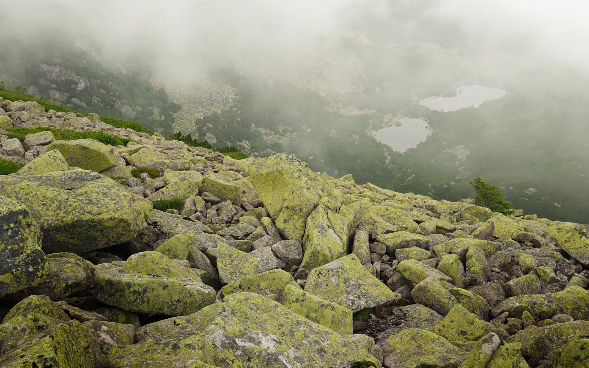
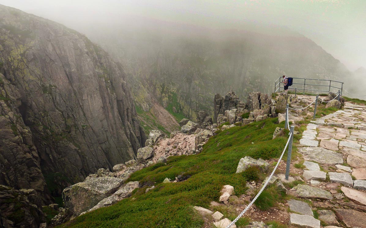
Śnieżne Kotły and Śnieżne Stawki
Just after Szyszak, we come across a path along the ridge of Śnieżne Kotły (Snowy Cauldrons).
It is a beautiful scenic spot, shrouded in legend and many tragedies:
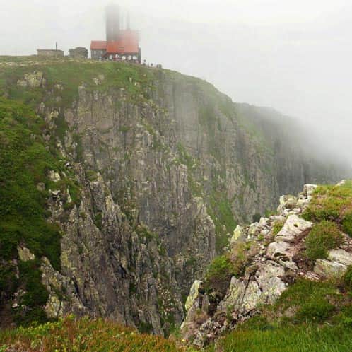
Śnieżne Kotły and Śnieżne Stawki
The most beautiful viewpoint in the Karkonosze Mountains? Perhaps it is the steep rocky walls of Śnieżne Kotły and the view of the hidden ...
It is worth deviating from the main trail to fenced viewpoints:
From Śnieżne Kotły to Pod Łabski Szczyt Shelter
From Śnieżne Kotły, we descend on the yellow trail towards the Pod Łabski Szczyt Shelter. Initially, the path gently leads us down the slopes of Łabski Szczyt.
The last section is steeper and rocky. When descending towards the shelter, there are high stone steps (in the opposite direction, the path would be quite challenging...)
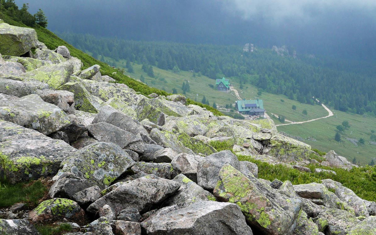
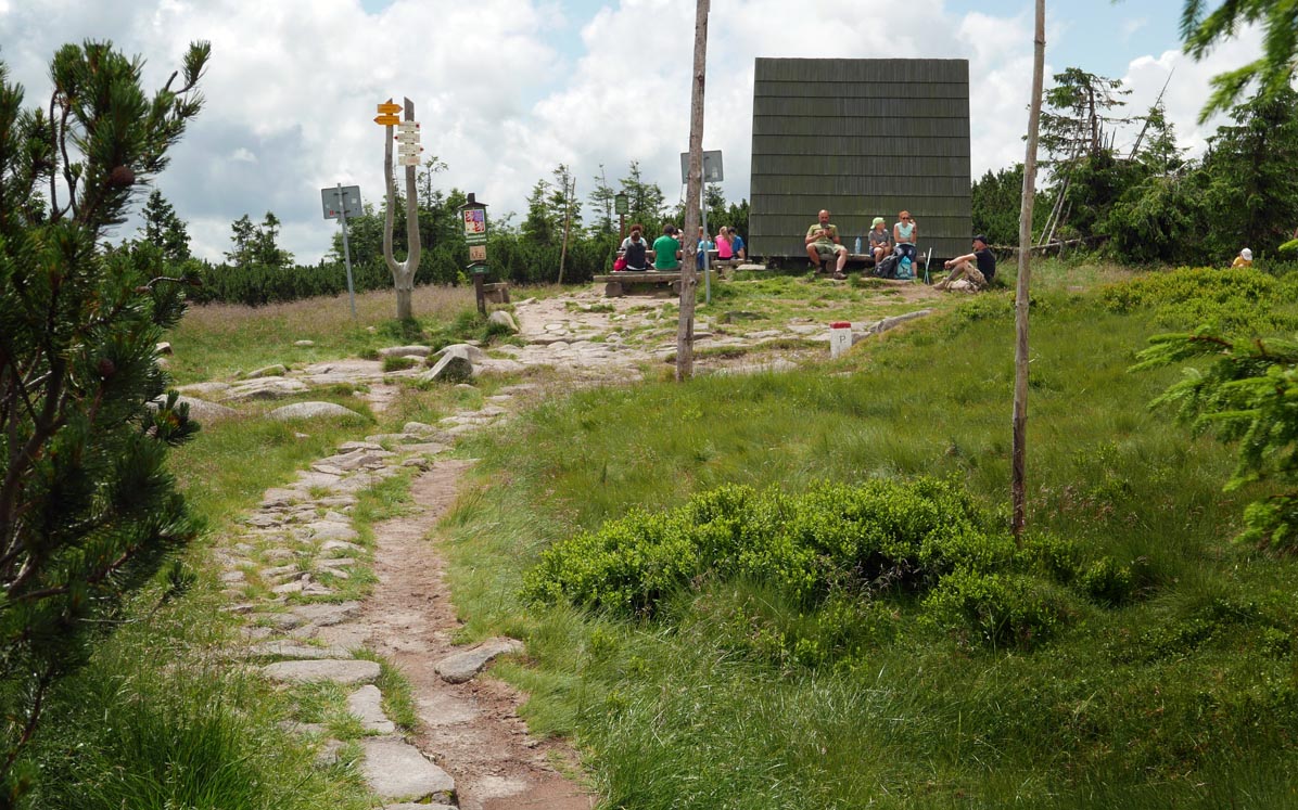
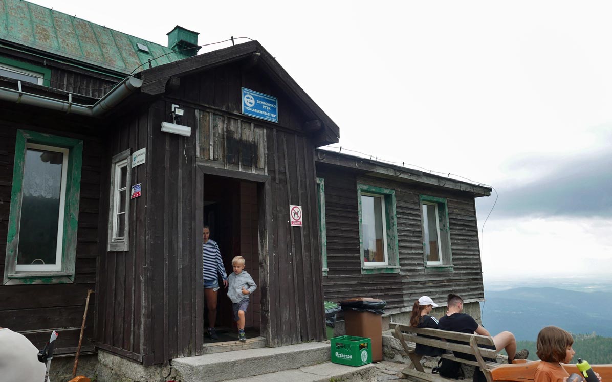
At the Pod Łabski Szczyt Shelter, you can find lunch dishes, drinks, snacks, and souvenirs.
From Pod Łabski Szczyt Shelter to Jagniątkowo
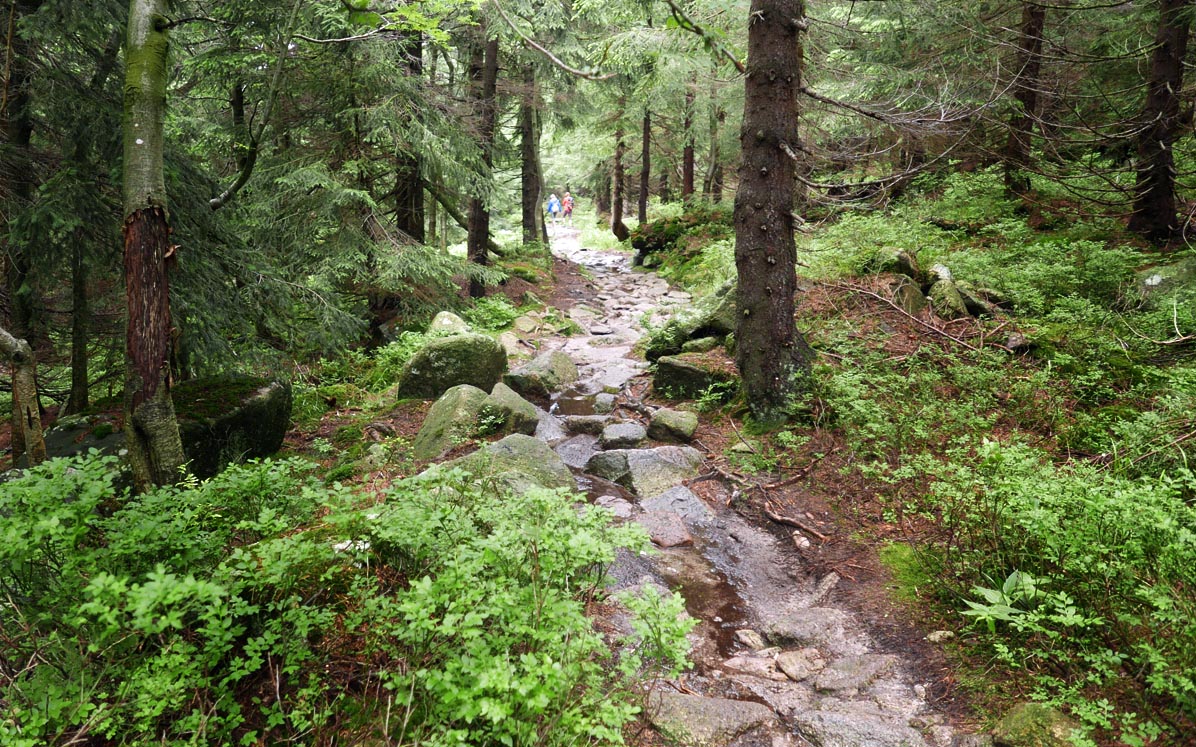
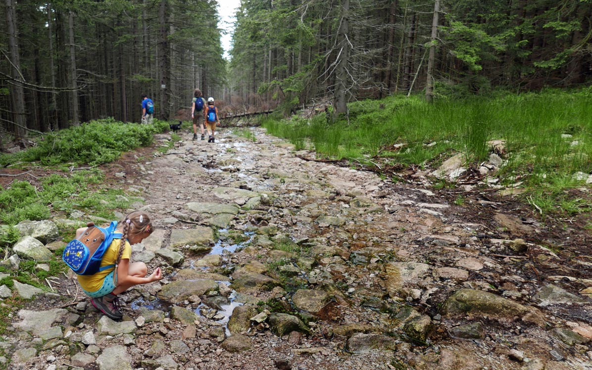
We return to Jagniątkowo via the so-called Mokra Ścieżka (Wet Path), also known as the black trail.
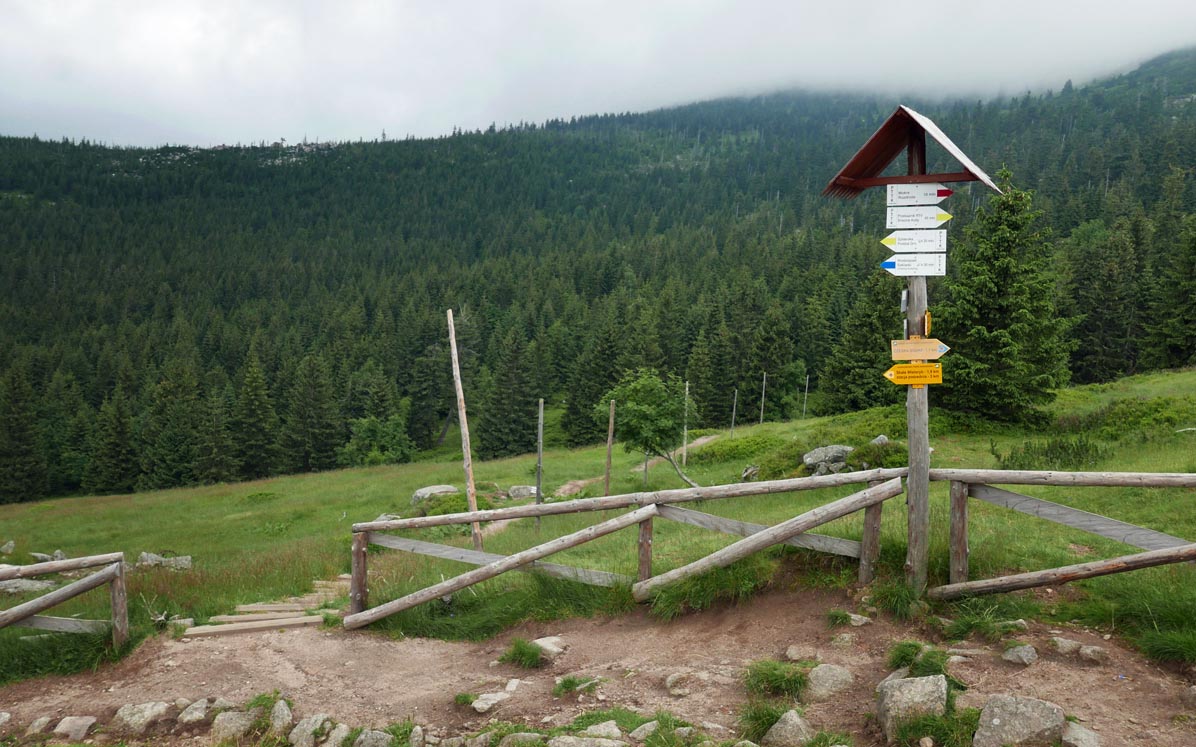
The path is initially narrow (then wider) and indeed, in some places, it can be quite muddy, but it is passable.
The lower section of the black trail is a wide forest bike path - after so many attractions along the route, it can become a bit monotonous and lengthy...
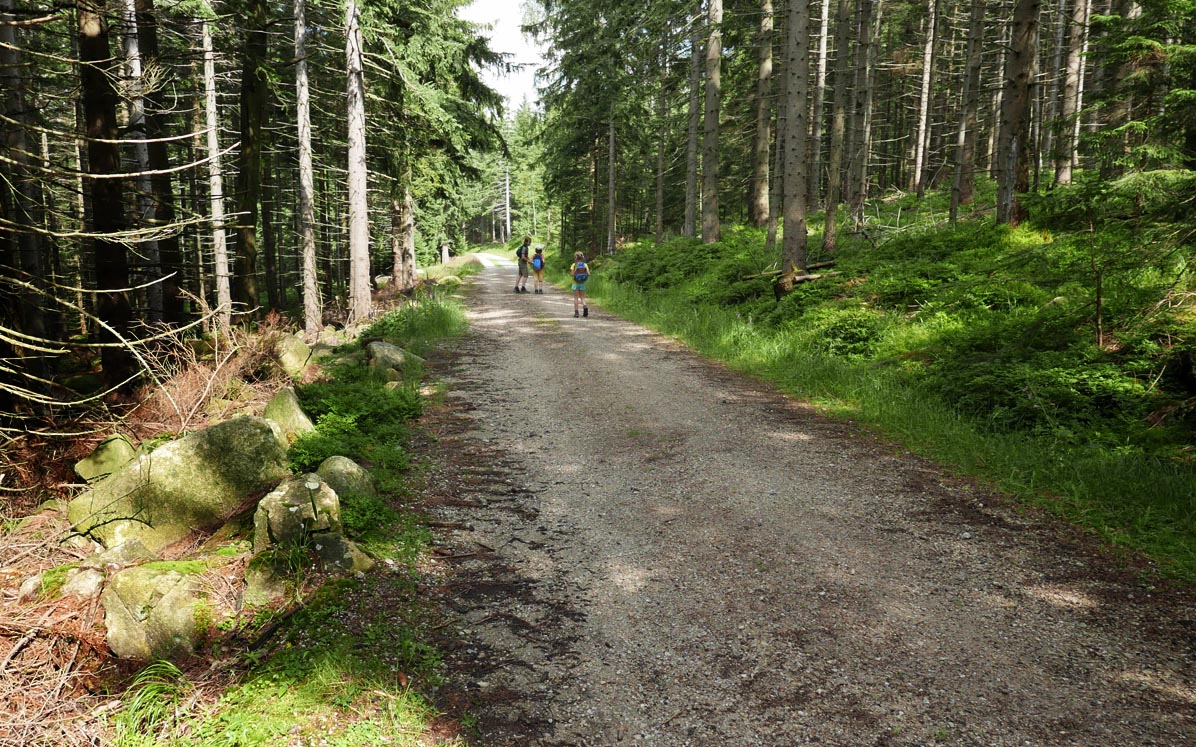
To return to the starting point, we need to walk a bit along the road to Jagniątkowo.

More in the Region Sudety (The Sudetes)