Lachów Groń from Koszarawa
| Distance | 4.6km |
|---|---|
| Time | 2h 1min |
| Ascents | 348m |
| Descents | 17m |
beach_access Route in the shade
directions_car Access by car
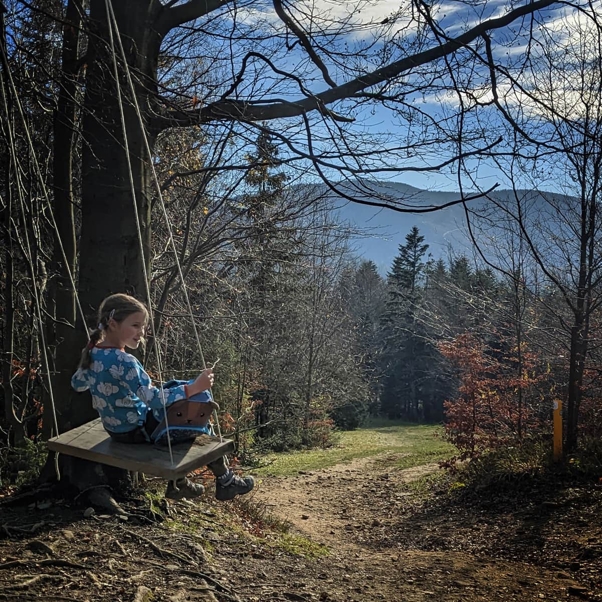
The Green trail from Koszarawa - Cicha to Lachów Groń is one of the easiest routes to a scenic peak at the foot of Babia Góra. The path is comfortable, with a slight elevation. In addition, we can visit the neighboring peak of Jałowiec and make a loop (see below).
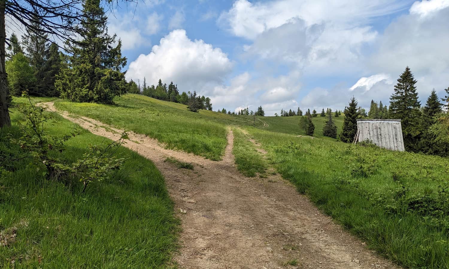
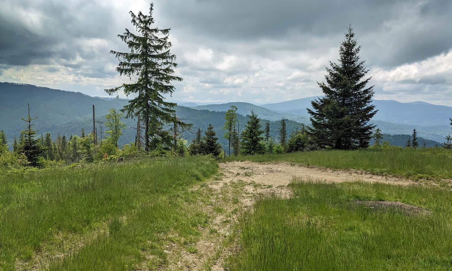
Koszarawa - Cicha: start of the green trail to Lachów Groń
The Green trail starts from a forest road, where we can easily leave our car (wide bays). There is also a bus stop here, but unfortunately, we do not know if any buses run here...
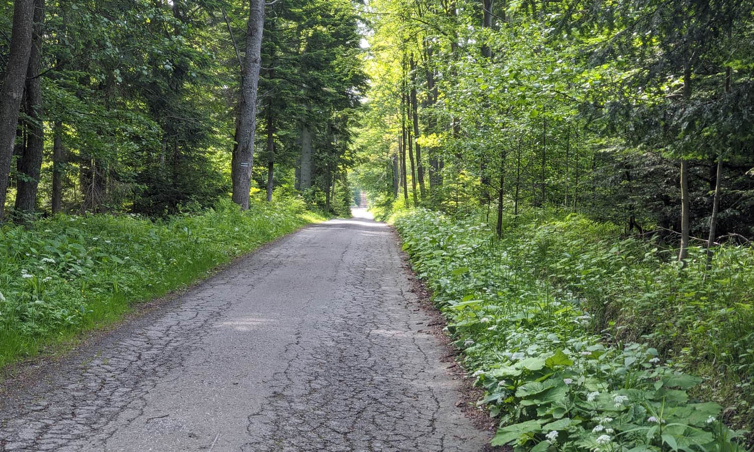
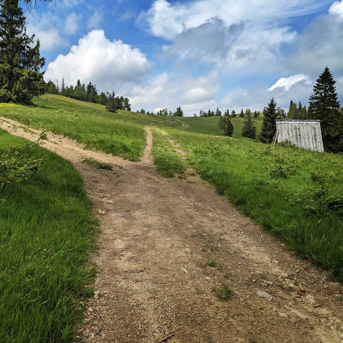
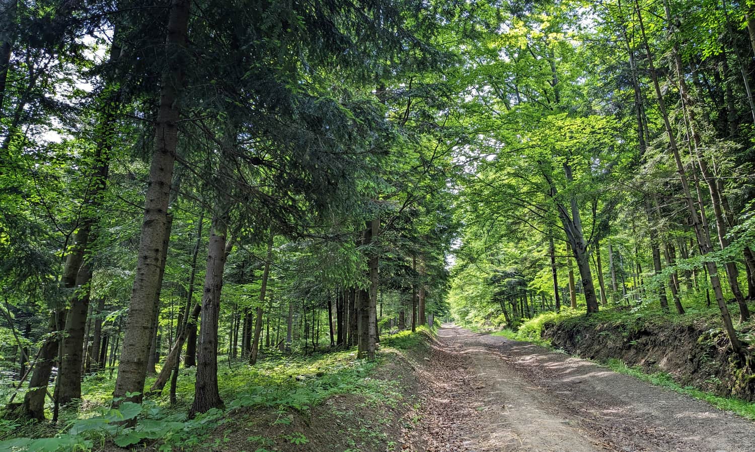
Initially, we walk a bit on asphalt, then a wide forest beaten road. Then, the green trail gently traverses the slopes between Czerniawa Sucha and Lachów Groń.
Yellow trail Lachów Groń - Jałowiec
After about 1 hour of walking on the trail, we reach the intersection with the yellow trail. To reach our destination we turn right: the road is still wide, comfortable.
Lachów Groń and Hala Januszkowa
At the top of Lachów Groń, we find the extensive (and full of blueberries!) Hala Janoszkowa. Entering it via the yellow trail from the east, we pass a small wooden hut - a remnant of the seasonal sheep grazing once conducted here. The hut is open, you can use it (e.g. take shelter from the rain), there is also a place for a bonfire.
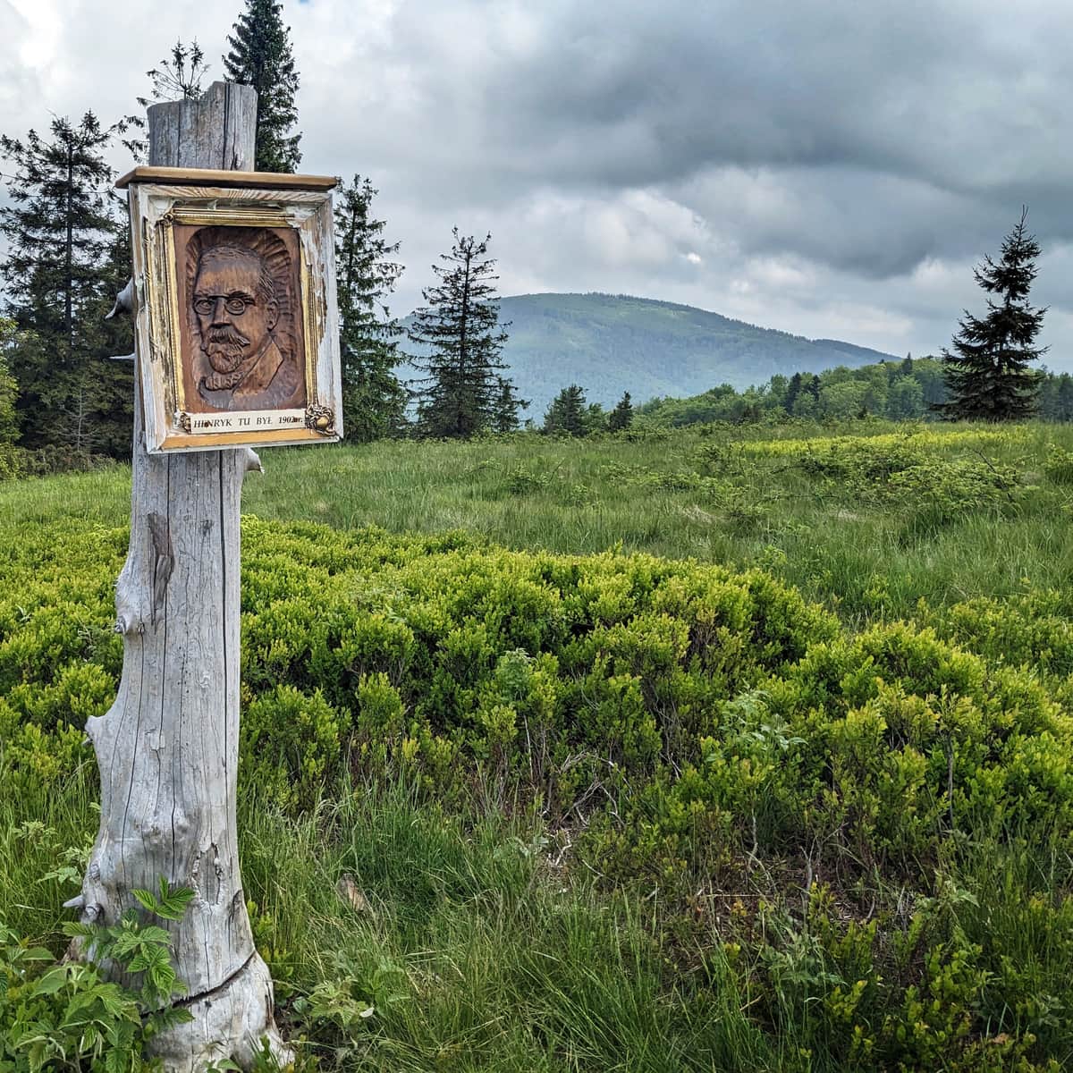
But this is not the peak yet! To enjoy the widest panorama we need to climb up the meadow - where a bench and... Henryk Sienkiewicz (!) awaits.
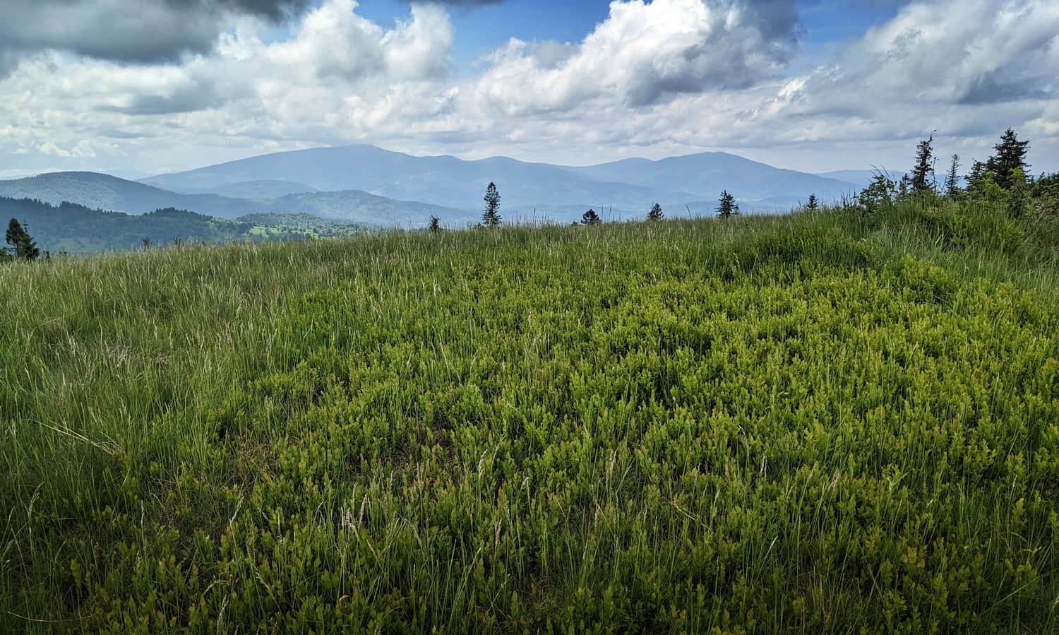
In front of us is a beautiful view to the southwest: mainly on Pilsko, but also on neighboring peaks: to the left of Pilsko Mędralowa, to the right: Rysianka and Romanka, and even further Babia Góra and Skrzyczne. Babia Góra dominates over the southern part of the meadow, and from the east, the green dome of Jałowiec "peeks out".
More about Lachów Groń and trails to the peak:
Lachów Groń - trails and views from the summit
Lachów Groń (1045 m above sea level) is a scenic peak in the Żywiecki Beskids, in the Jałowiecki Range. Nestled at the foot of Babia Góra, it remains relatively unpopular, despite offering its visitors what's most important: expansive panoramas, peace, and quiet. ...
Return to Koszarawa
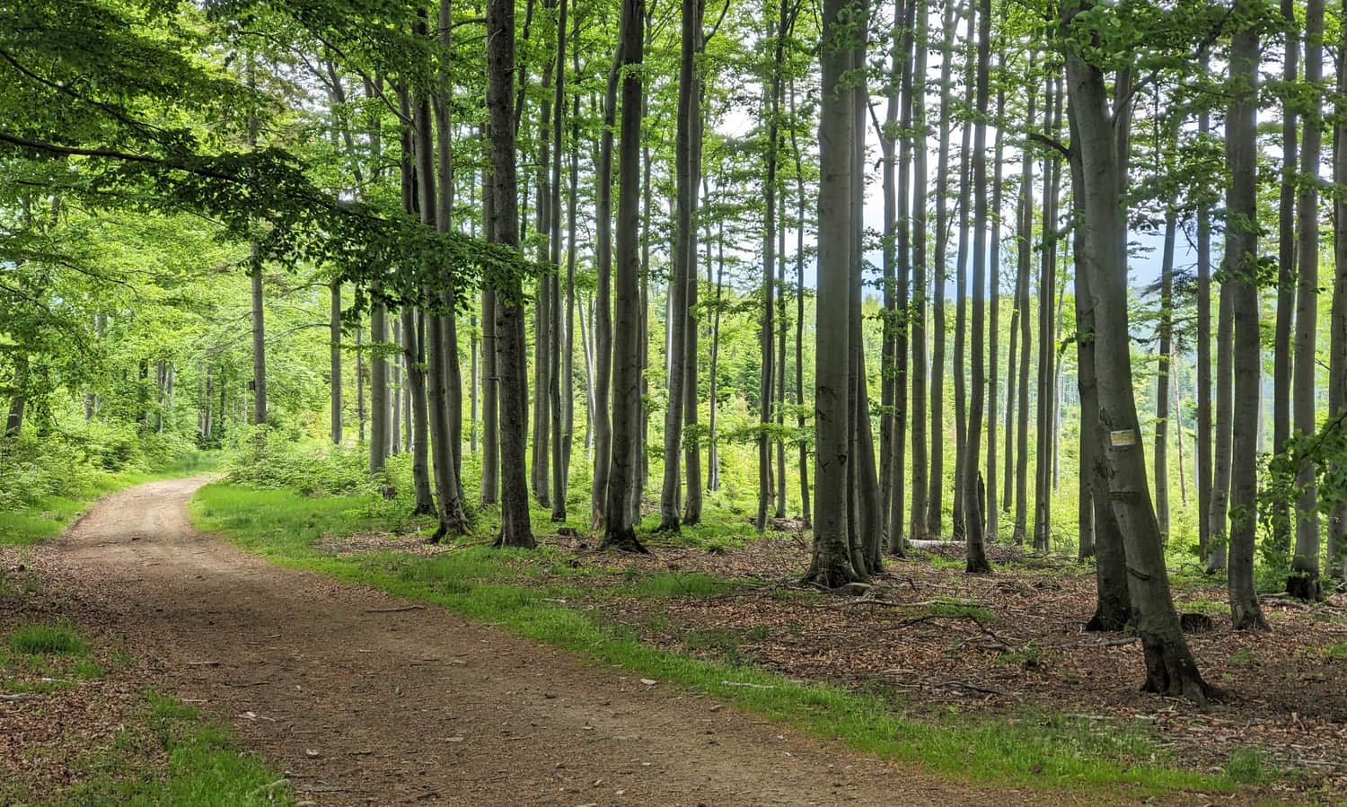
We can return to Koszarawa Cicha the same way (yellow and green trail to Koszarawa Cicha, descent approx. 1:10 hrs.) or via the yellow trail straight to the center of Koszarawa through a clearing with an abandoned wooden house (you can take shelter there in case of rain, 45 min.).
You can also return to the trail intersection and continue on the yellow trail to Czerniawa Sucha (views open from its southern peak, you need to turn a bit on the green trail to the south), to Jałowiec (also beautiful views) and descend through the forest to the walking path through the Jałowiec estate. The last 3 km is a descent on an asphalt access road to our entry point to the trail: