Kłodzka Góra and the Observation Tower - trail from the town of Bardo

train Access by train possible
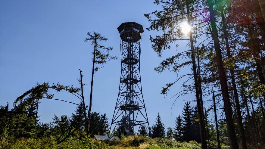
Kłodzka Góra (757 meters above sea level) with its high observation tower (34.5 meters) is one of the peaks of the Crown of Polish Mountains, offering a fantastic panorama. The route from the town of Bardo also allows us to visit the Bardzki Landslide, which is the largest rock landslide in the Sudetes, providing an incredible view of the city. We mostly follow the blue trail, briefly turning onto the green trail to reach the viewpoint overlooking the landslide.
- You can reach Bardo by train, the name of the railway station is Bardo Śląskie.
- The route is long and sometimes steep.
- From Kłodzka Góra, we can descend to the town of Kłodzko using the yellow trail.
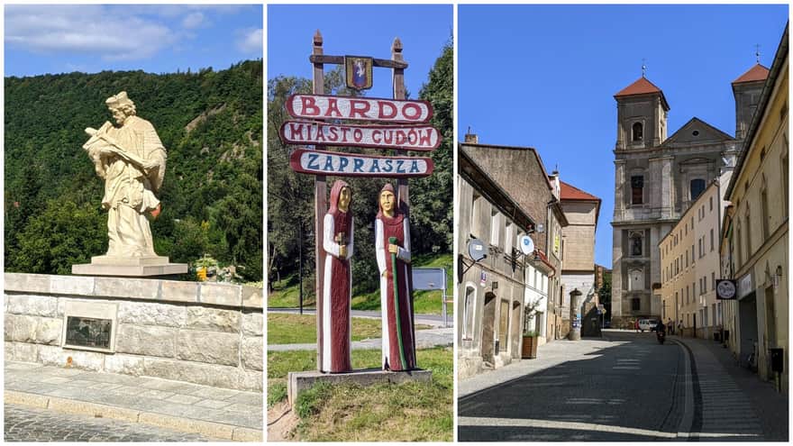
Bardo - Golden Gateway to the Kłodzko Valley
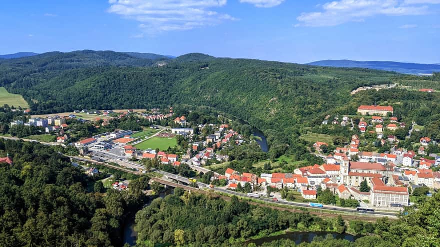
Bardo is a picturesque town located on the Nysa Kłodzka River gorge, also known as the Golden Gateway to the Kłodzko Valley. Interestingly, its history dates back to the beginnings of our country. It is believed that after the annexation of Silesia to Poland by Duke Mieszko I, a fortified border stronghold was established here on the Nysa Kłodzka gorge.
In the town and its surroundings, you will find many religious buildings and a miraculous figurine of the Virgin Mary, which is why it is also referred to as the city of miracles.
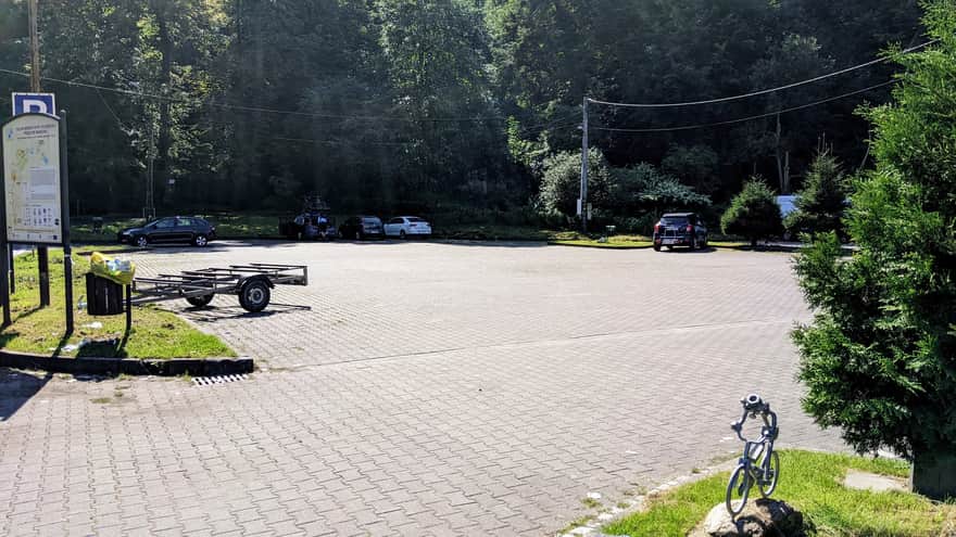
Getting there and parking
We start the blue trail to Kłodzka Góra from a large parking lot near the Bardo Śląskie railway station.
Kalwaria Mountain
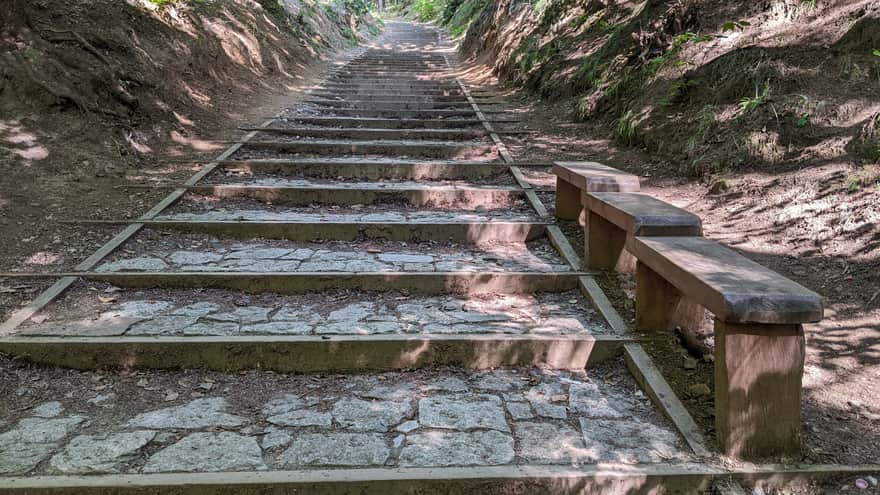
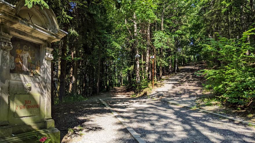
The first 2.5 km of the trail is a climb to Kalwaria Mountain (575 meters above sea level), where a chapel is located. The trail itself is also a Stations of the Cross and Rosary path with stations and beautifully painted chapels. Two interesting places on this section are a spring and the Bardzki Landslide, the largest rock landslide in the Sudetes.
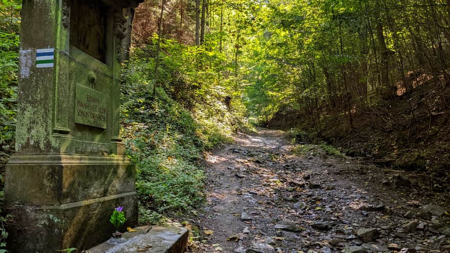
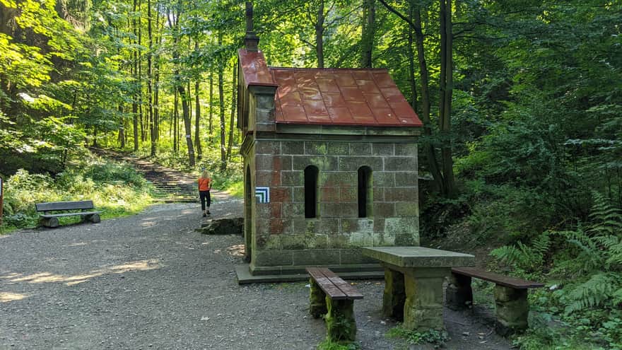
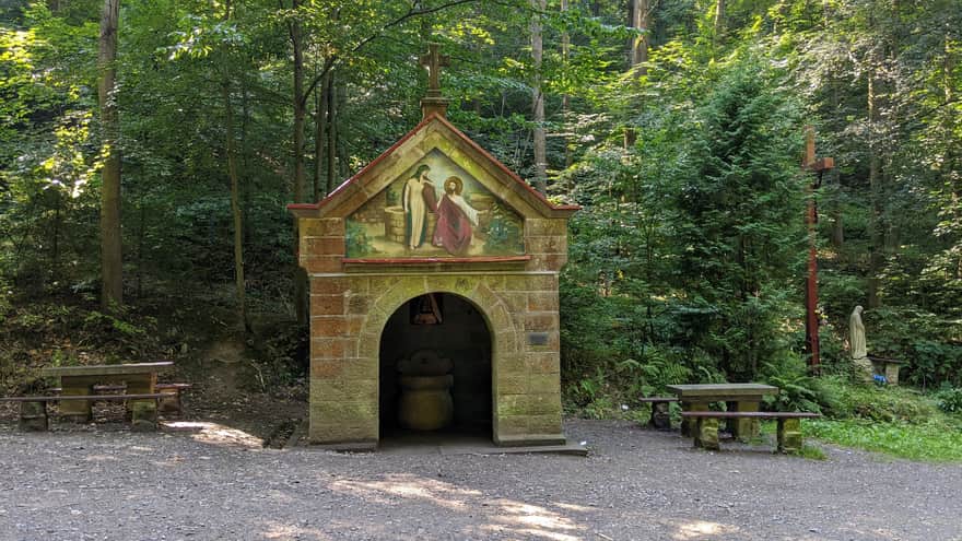
Studzienka Marii (Mary's Well)
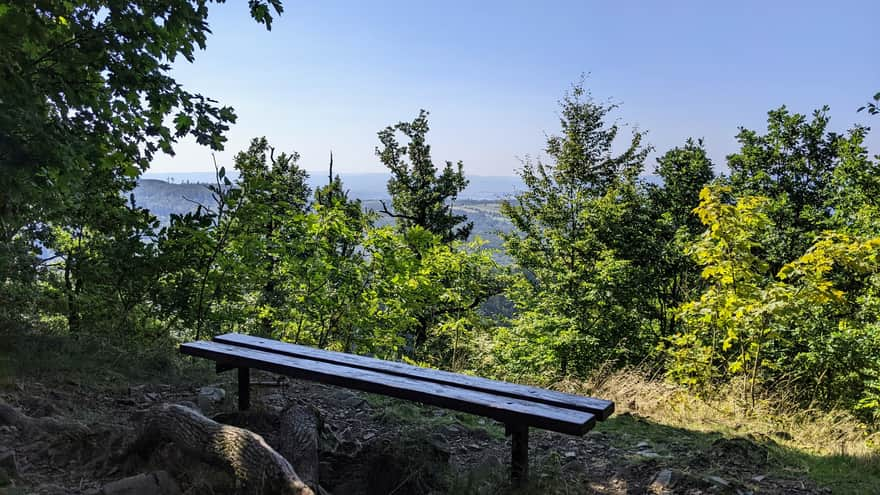
The local spring is said to have healing properties. In 1893, it was enclosed with a stone chapel. The painting on the gable depicts Jesus and the Samaritan woman. It is said that a miraculous healing took place at the spring when a young Czech regained his eyesight after washing his eyes with the water. The benches and the coolness of the dense forest make this place perfect for a first rest.
Bardzki Landslide
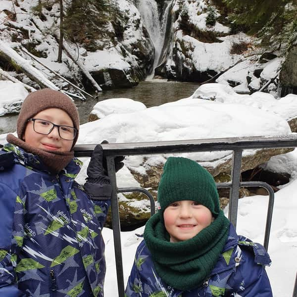
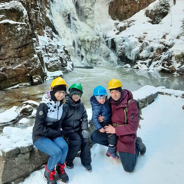
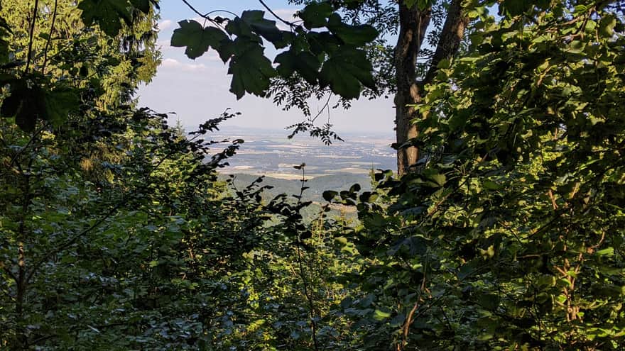
The landslide was formed on August 24, 1598, after prolonged rainfall. The Nysa Kłodzka eroded the Bardza Mountain, threatening to flood the city. Monk Mateusz and children prayed in front of a statue of Mary, which, according to legend, miraculously redirected the river, saving the city. The Bardzki Landslide, the largest rock landslide in the Sudetes, is an essential stop on this route, although it requires an additional 500 meters of walking and leaving the blue trail. However, the view from the Bardzki Landslide of the city, Bardzki Gorge, and the Western Ridge of the Bardzkie Mountains will enchant everyone!
ATTENTION: The green and blue trails do not converge, and to return to the blue trail, 300 meters after the landslide, we turn right as indicated by the sign for the mountain chapel.
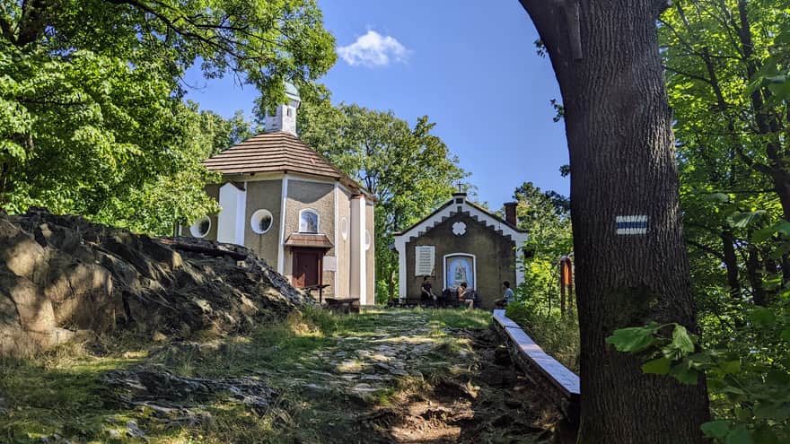
Chapel on the summit
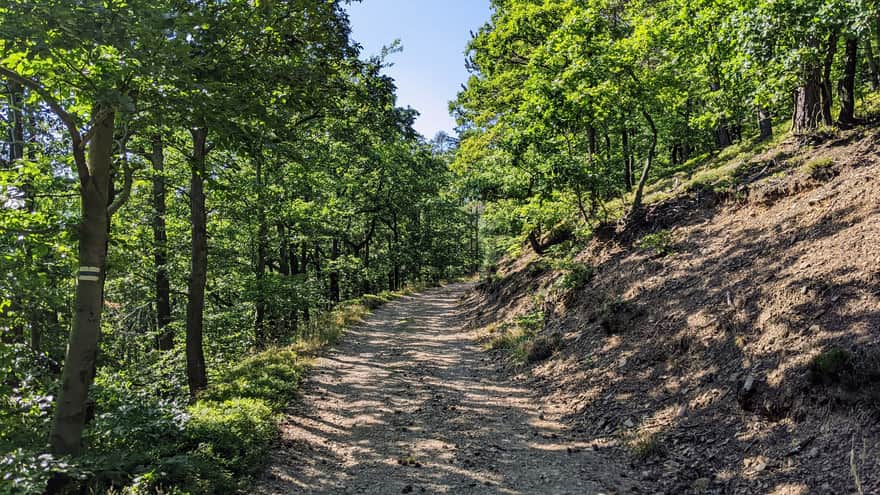
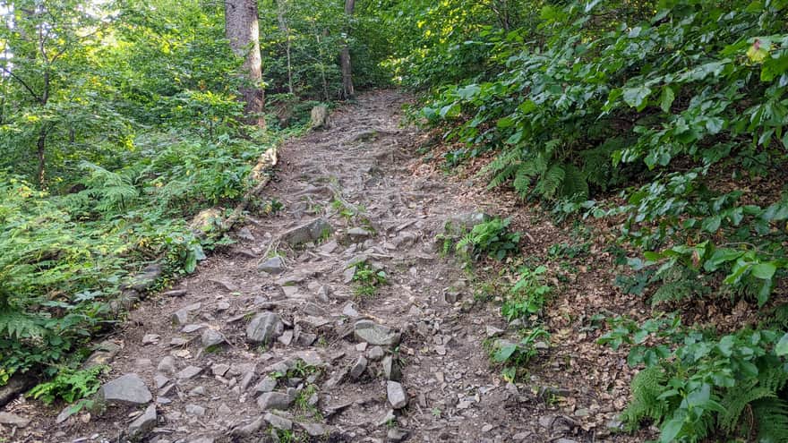
Before reaching the summit, the trail becomes steeper and rocky, but it also starts to reveal more beautiful views.
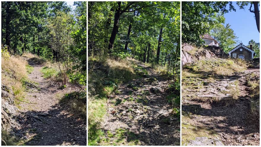
At the summit, there is a chapel of the Weeping Madonna from 1619 and several benches. This place is associated with another miracle of Bardo. In the early 15th century, the Virgin Mary appeared sitting on a stone, weeping over the human suffering in the impending war. Traces of feet and hands were left on the rock after the apparitions.
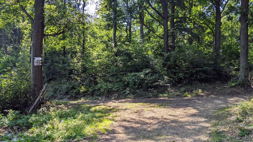
Between Kalwaria and Ostra Góra
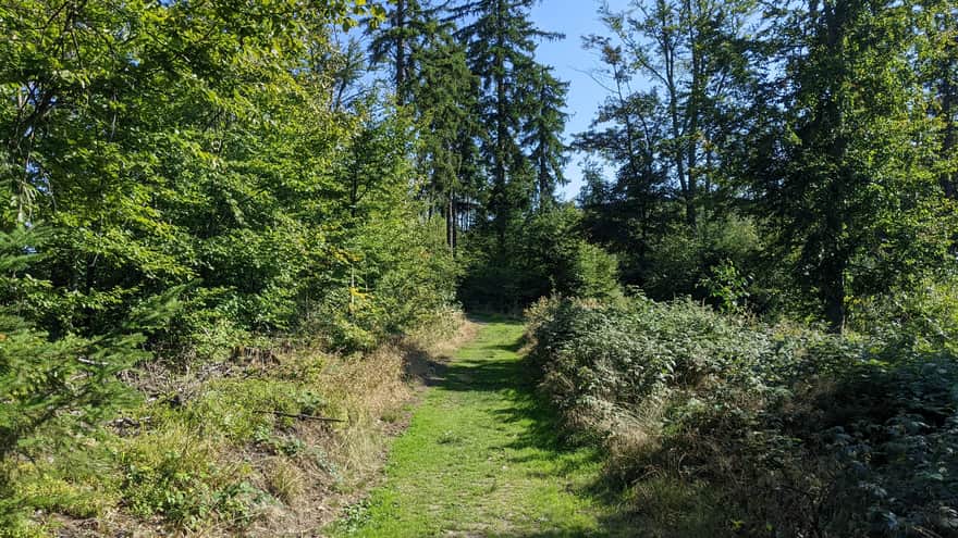
After the chapel, we have some descent and a longer section mainly through the forest with few viewpoints. The section is pleasant but does not have any particular features.
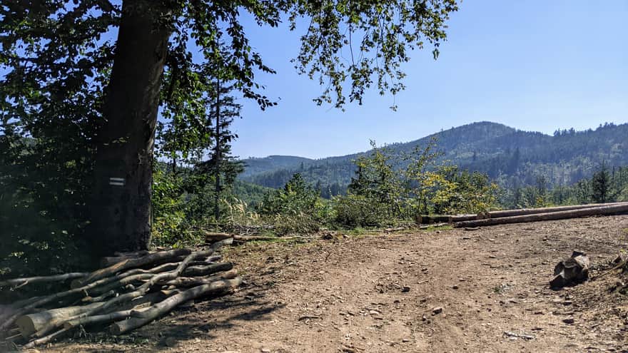
Ostra Góra
The name itself, Ostra Góra (Sharp Mountain), indicates that it won't be easy! When it starts to get really steep and our heart rate increases, it means we are approaching its forested summit, which is 751 meters above sea level.
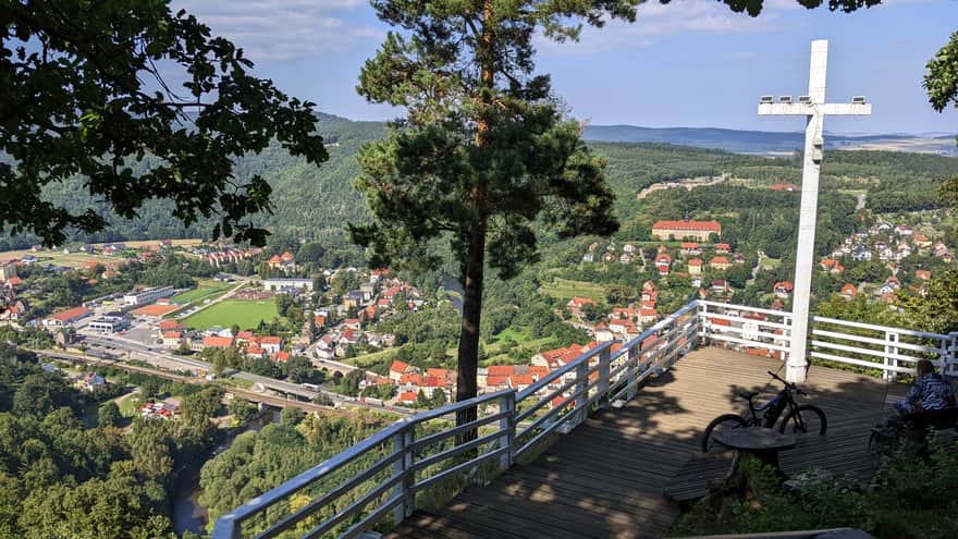
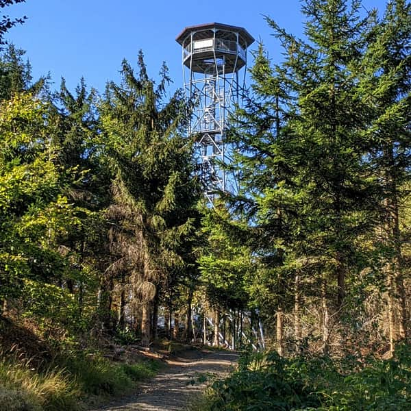
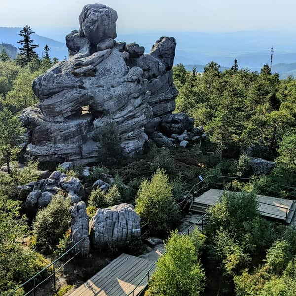
Kłodzka Góra and the Observation Tower
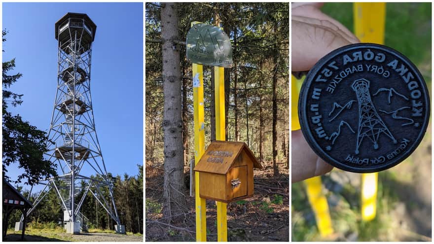
It is interesting to note the mistake of considering Kłodzka Góra as the highest peak of the Bardzkie Mountains and including it in the Crown of Polish Mountains. In reality, this place belongs to its neighbor, Szeroka Góra, which is about 8 meters higher. However, there is no trail leading to its summit.
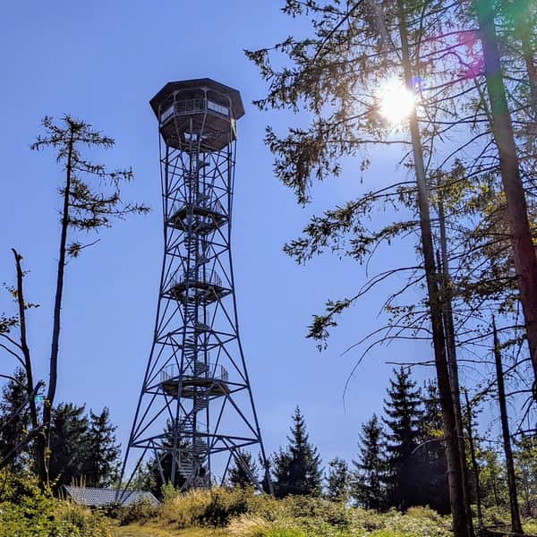
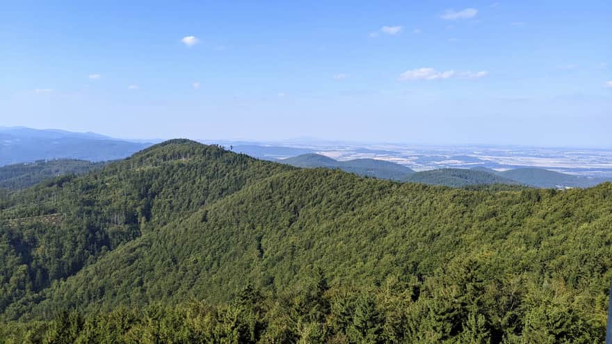
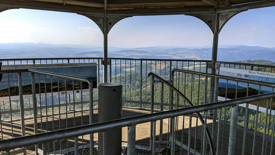
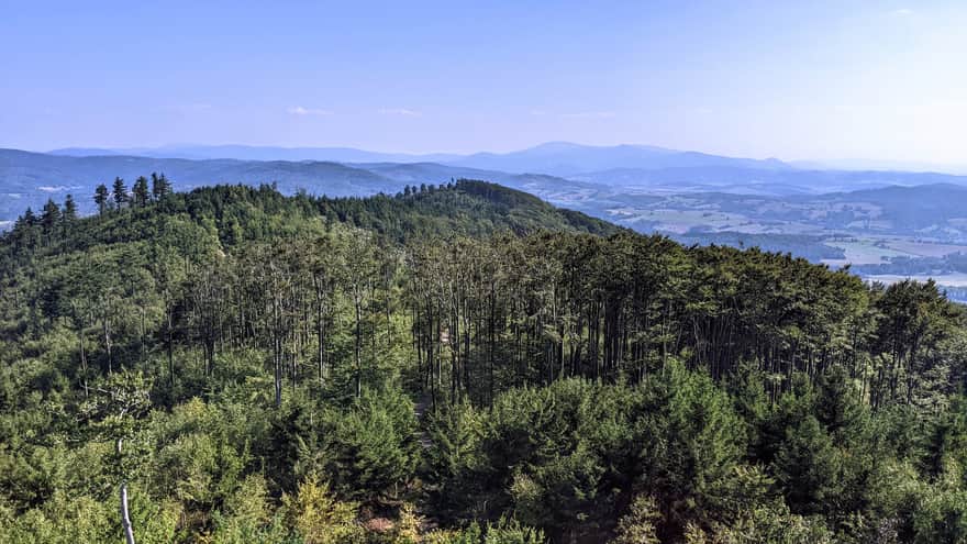
The Observation Tower on Kłodzka Góra is impressive! It is a tall structure that we ascend using spiral stairs. The tower has several levels with observation decks. The highest terrace is located at a height of 30 meters. From there, you can see the Śnieżnik Massif, the Orlickie Mountains, Bardzkie Mountains, and Sowie Mountains. On a clear day, you can even spot the Karkonosze Mountains and Wrocław.
From Kłodzka Góra, we can also descend to Kłodzko using the yellow trail:
Medium
From Kłodzko to Kłodzka Góra - Yellow trail: Natural beauty and a viewing tower


Publish Date: 2023-09-16
Last Updated: 2023-09-20
More in the Region Sudety (The Sudetes)
Total Length 184 km