Green trail to Jasień and Polana Skalne
Nearby: Mszana Dolnabeach_access Route in the shade
wb_sunny Route in the sun
directions_car Access by car
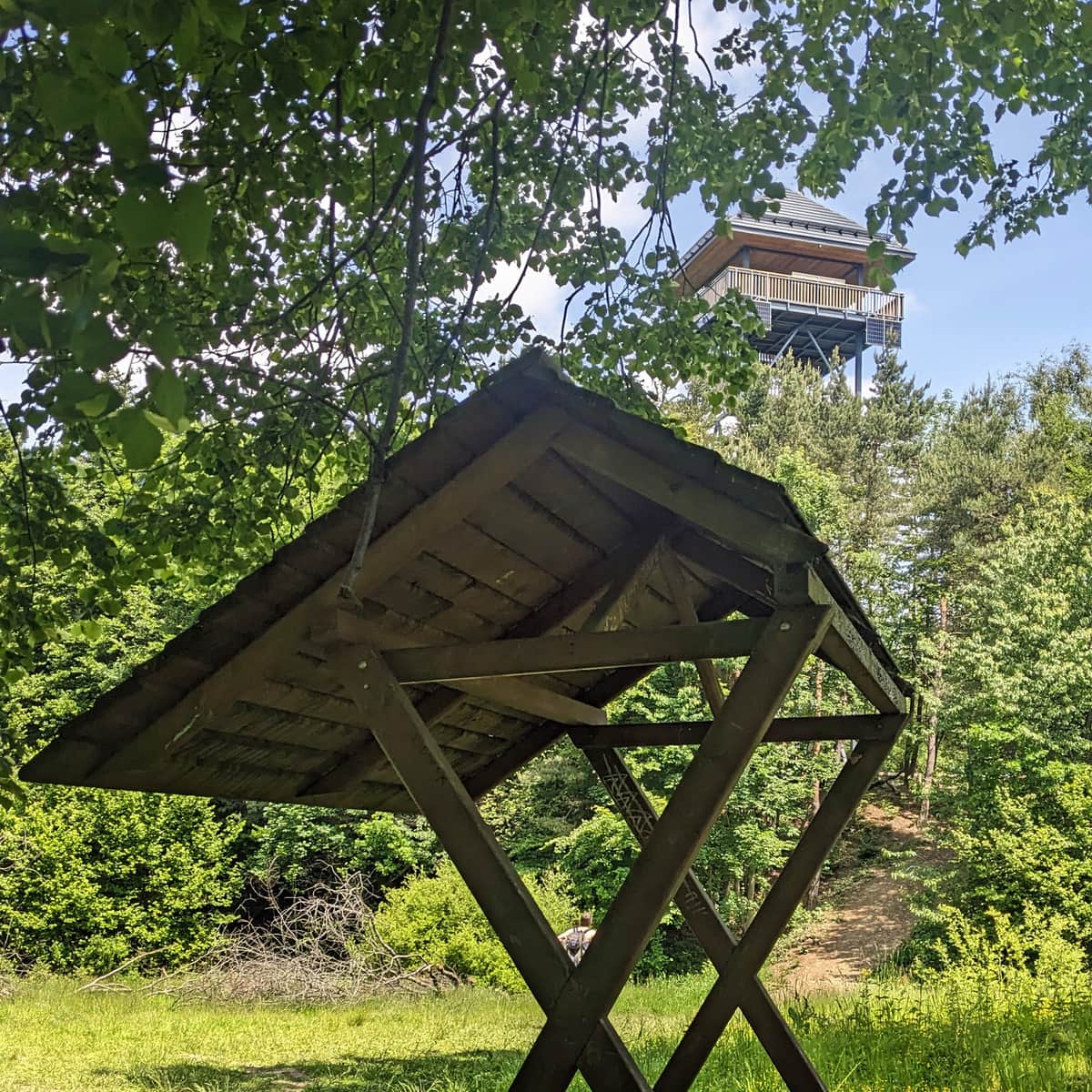
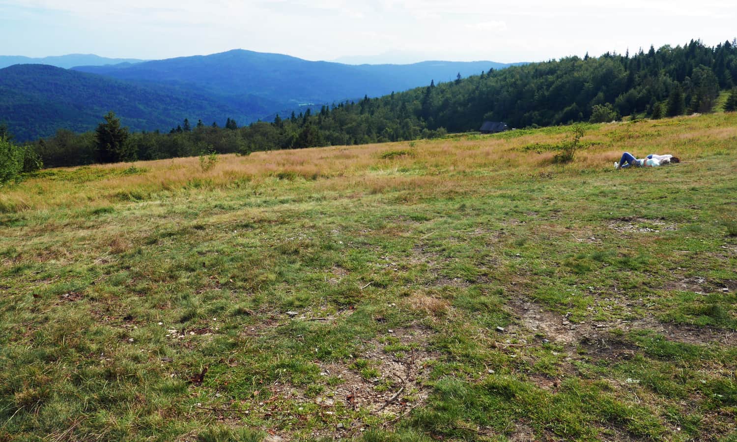
Jasień (1063 meters above sea level) is the third highest peak in the Beskid Wyspowy range (after Mogielica and Ćwilin). It attracts tourists mainly because of the beautiful scenic meadow called Polana Skalne located at its foot.
Green trail to Jasień
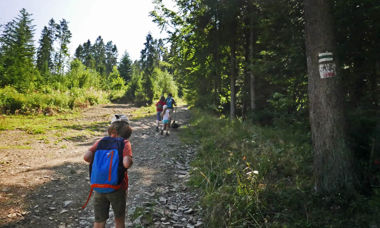
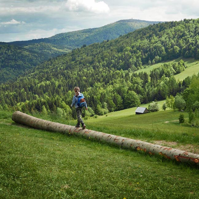
You can start the trail in the village of Łętowe (you can leave your car in a bay or in a parking lot near the church). The green trail to Jasień leads us along the western slopes. Although the path mainly goes through the forest, it occasionally crosses scenic meadows (so there will be some shade and some sun).
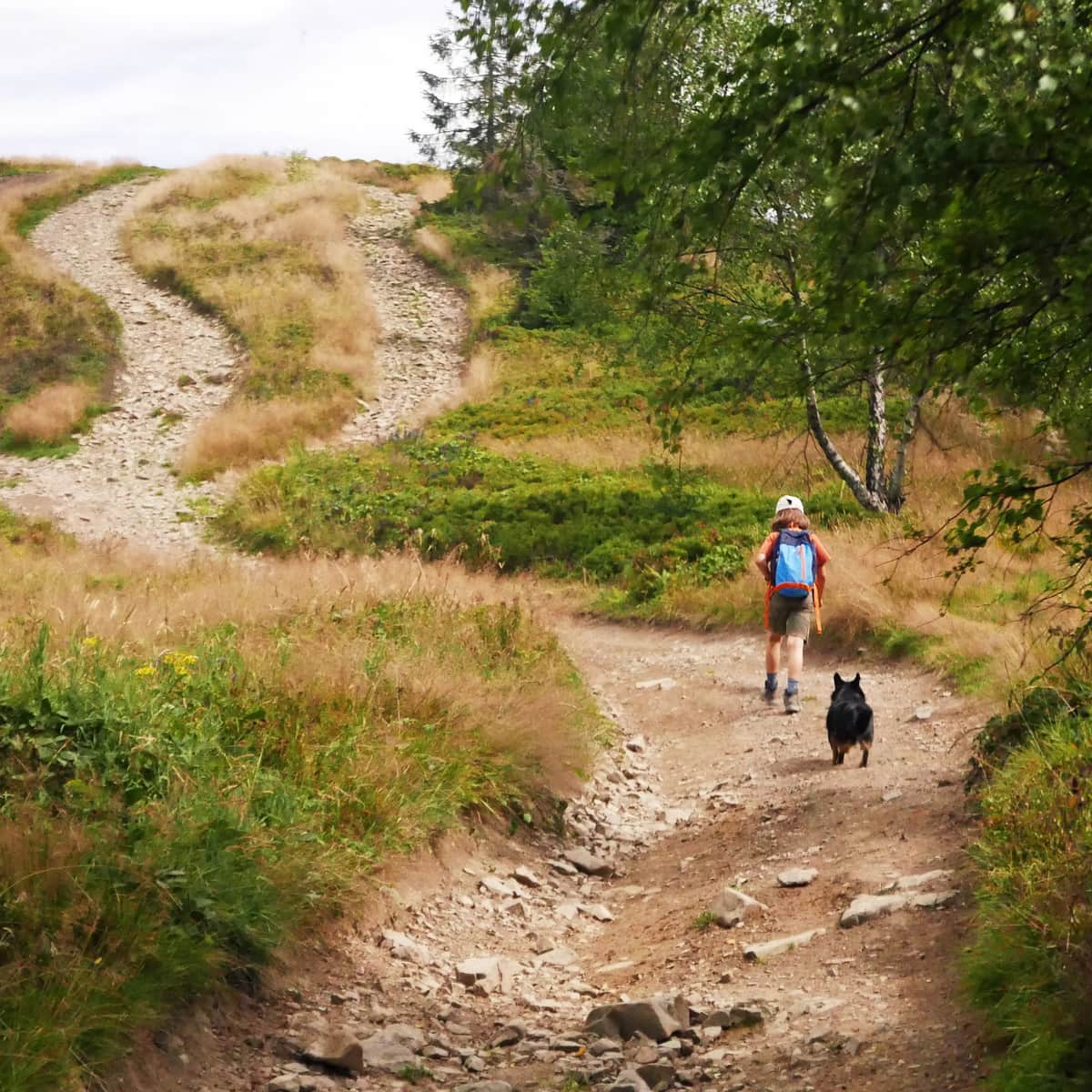
The green trail first goes along the edge of meadows and soon enters the forest. Here, we will encounter about half an hour of more challenging ascent through a ravine with loose stones:
When we reach the meadow with beautiful views of Babia Góra, Pasmo Policy, and Luboń (and benches), it means that soon we will be walking on a relatively flat and wide path that encircles the summit of Kiczora.
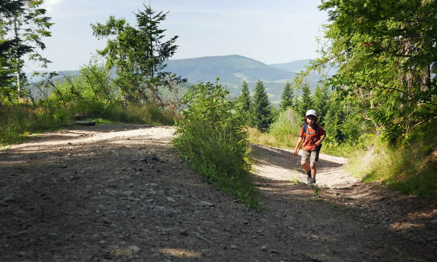
After reaching the junction with the black trail, a sign promises 30 minutes to the summit. Soon, there will be some more climbing... For now, the green trail turns left into a narrow path (but by taking the wide path, we will also reach our destination).
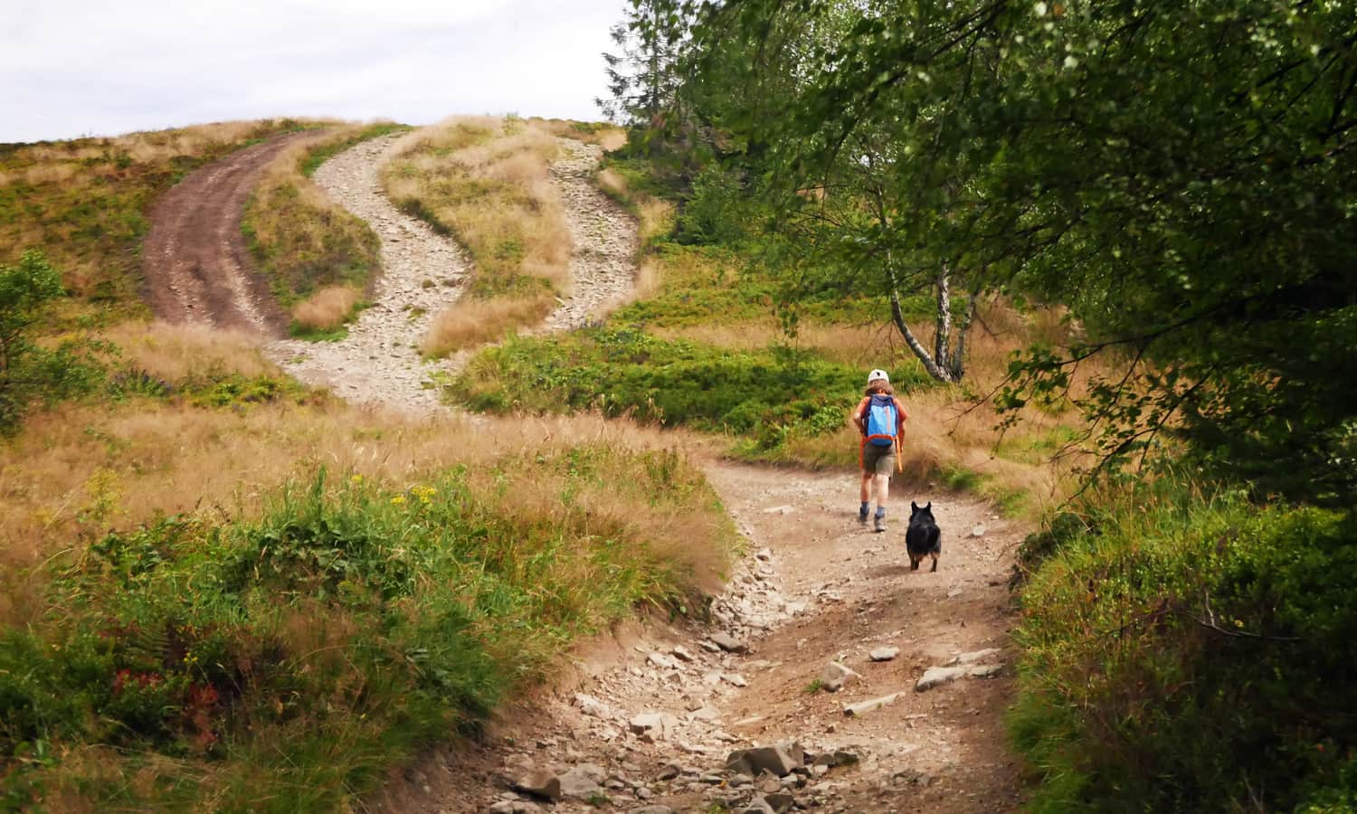
At this point, the green trail goes sideways through a narrow, overgrown path. However, we couldn't resist taking in more views (these wide paths will soon merge with the green markers).
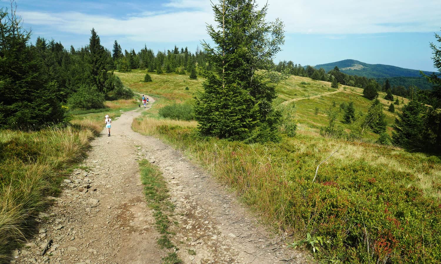
The sign indicating the summit of Jasień is already located near the yellow trail (a few meters from the end of the green trail). At the very top of Jasień, we will mainly see the forest... that's why we HIGHLY recommend taking a short walk along the yellow trail to Polana Skalne at the foot of the neighboring peak called Kutrzycy (1053 meters above sea level).
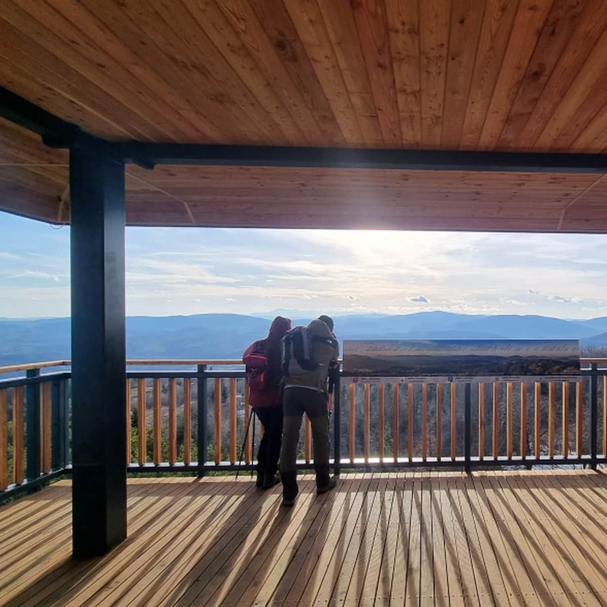
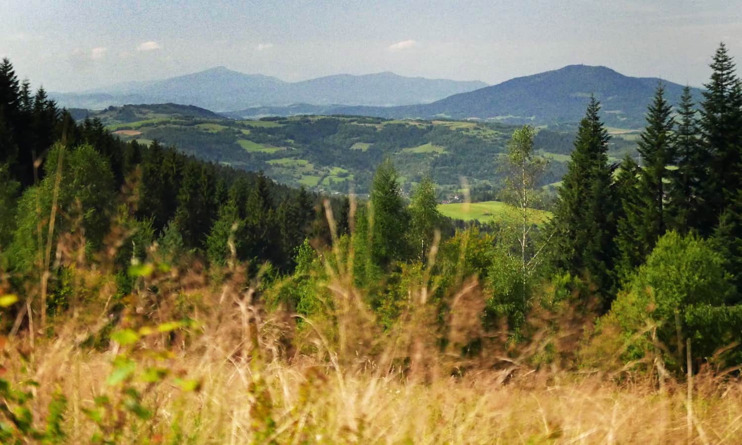
Here, a beautiful panorama awaits us - from Mogielica, through the Gorc range... all the way to the Tatra Mountains!
The yellow trail continues further through Krzystonów to Mogielica (about 2-2.5 hours), but we returned the same way to Łętowe from this point.
Another trail to Jasień and Polana Skalne
You can also reach it from Lubomierz-Rzeki:
Medium
Jasień, Kutrzycę, and Skalna Glade - yellow trail