Górny Płaj. Blue trail from Krowiarki to Markowe Szczawiny
Nearby: Sucha Beskidzkastroller Route for a stroller with large wheels
beach_access Route in the shade
restaurant Restaurant or bar nearby
directions_car Access by car
directions_bus Can be reached by bus
warning No dogs allowed
Easy walk with a stroller and a small child in the mountains?
Yes, if we choose the blue trail from Przełęcz Lipnicka, commonly known as Przełęcz Krowiarki.
There will be mountain views and a real mountain shelter at the end of the trail!
The route will take you about 1.5 to 2 hours one way. The only downside is the crowded paid parking. On weekends, you have to come here early in the morning or choose a weekday or off-season. There are also buses from Zawoja that come here.
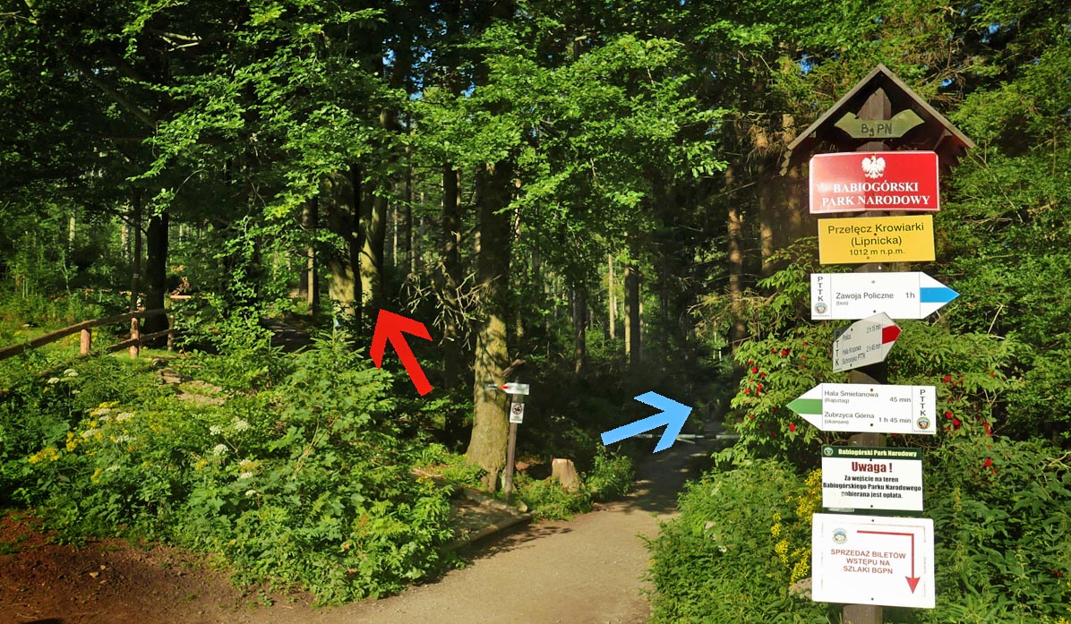
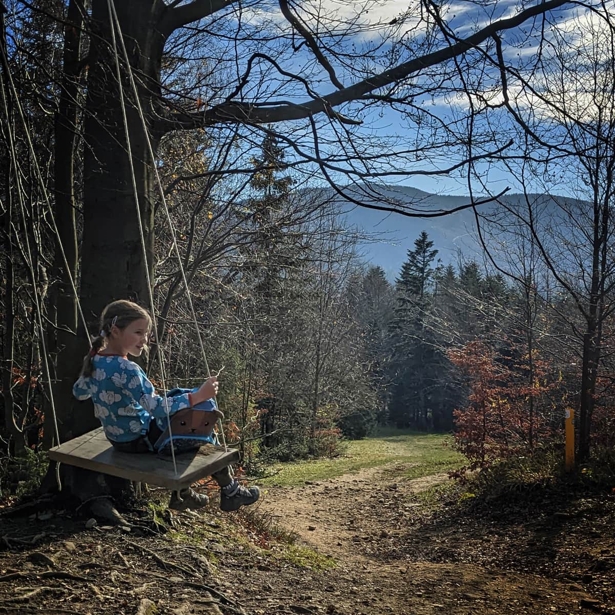
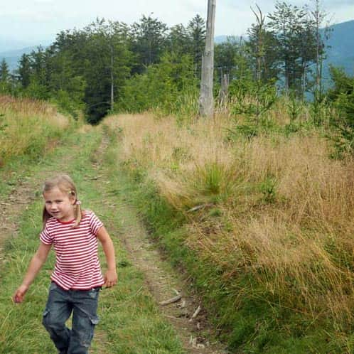
Blue trail from Krowiarki - a route for small children and strollers
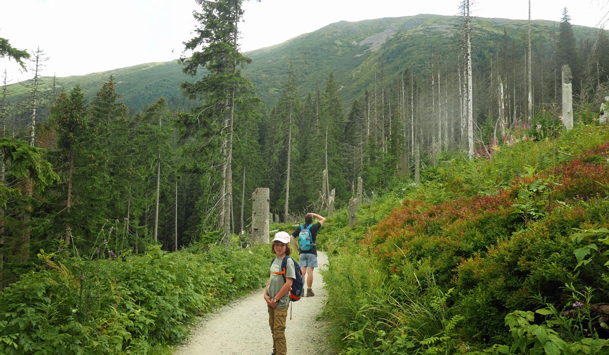
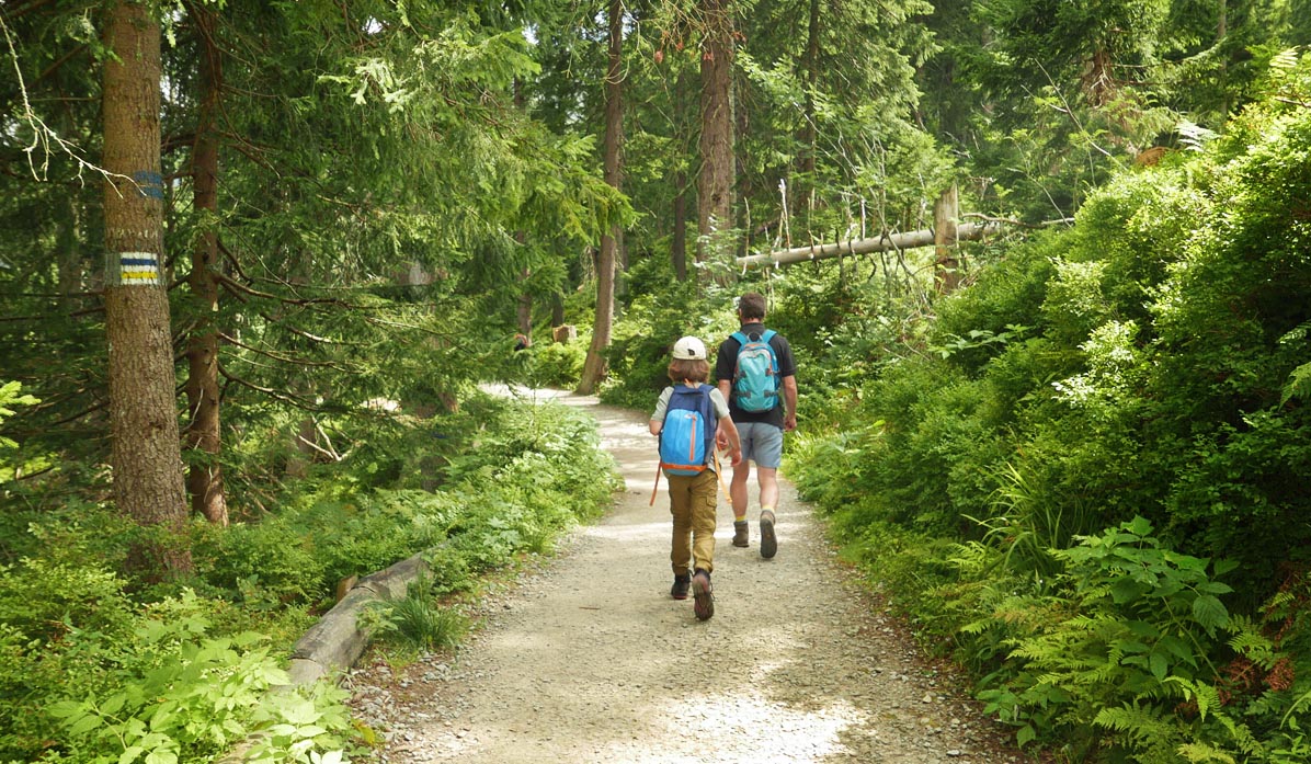
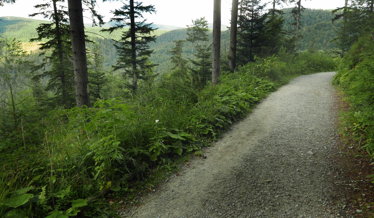
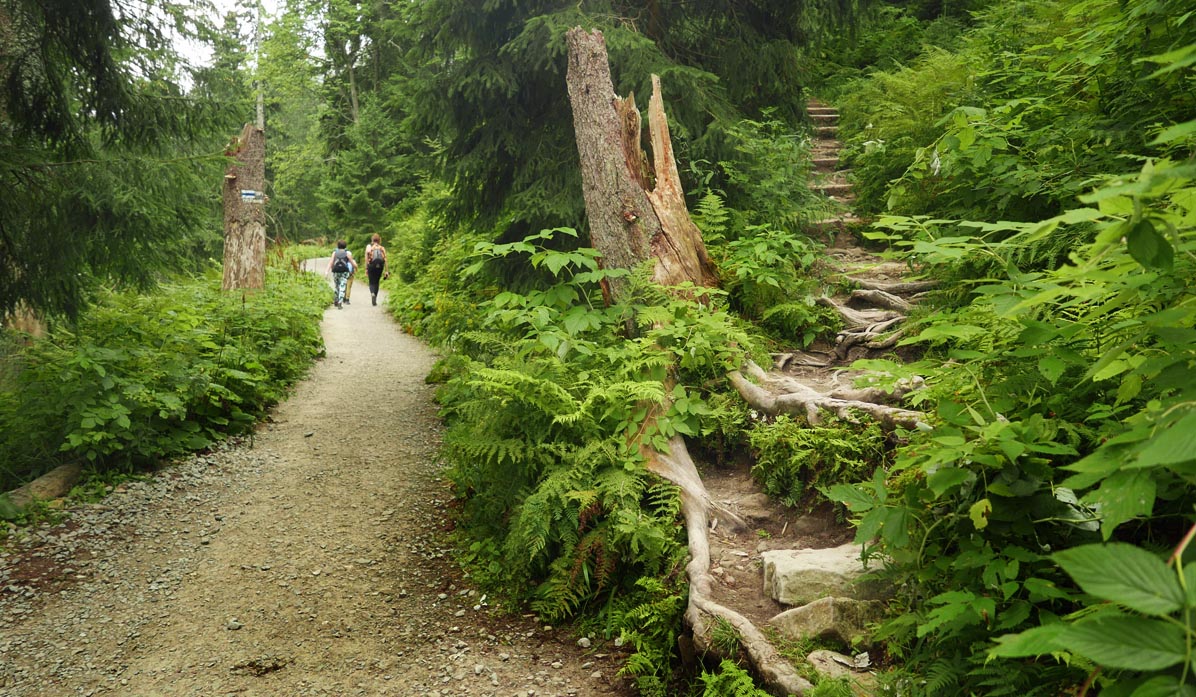
The path is wide, well-prepared, and paved. Mostly covered with small stones, sometimes with a dirt surface. It winds through the forest, with a slight incline along the forested southern slopes of Babia Góra.
Blue trail to Markowe Szczawiny shelter - for whom?
We can easily pass through here with a stroller (preferably with larger wheels, as it is not a park alley).
We have also seen children on balance bikes, but in this case, you have to consider that the child may slip on loose stones - it won't be a completely comfortable ride...
The blue trail is also a convenient walking route for people with limited mobility or those who cannot embark on a typical mountain climb.
Walking this trail is also a good idea for a hike in bad weather or during winter - without slippery stones, icy steep climbs, etc.
Attractions on the blue trail from Krowiarki to Markowe Szczawiny
Contrary to appearances, it will not be just a long, tedious hike. Although we walk through the forest, we will be accompanied by mountain views: closer to Krowiarki, we can see the Policy range, and closer to the shelter, we can look up to see the summit of the Queen of the Beskids - Babia Góra itself.
About 20-30 minutes from the start of Krowiarki, we pass by the Wet Pond - it is visible from the trail, and you can also approach it with a short rocky path with railings (without a stroller). This is the largest lake in the Babia Góra massif. Apparently, rare amphibians such as the mountain newt and the Carpathian newt can be found here.
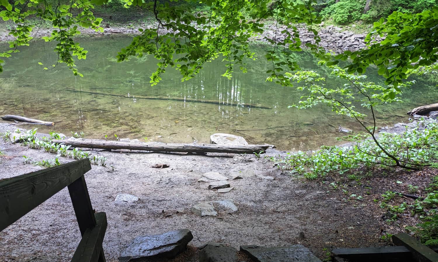
There are also several benches in this area - later, in the second half of the trail, there won't be any.
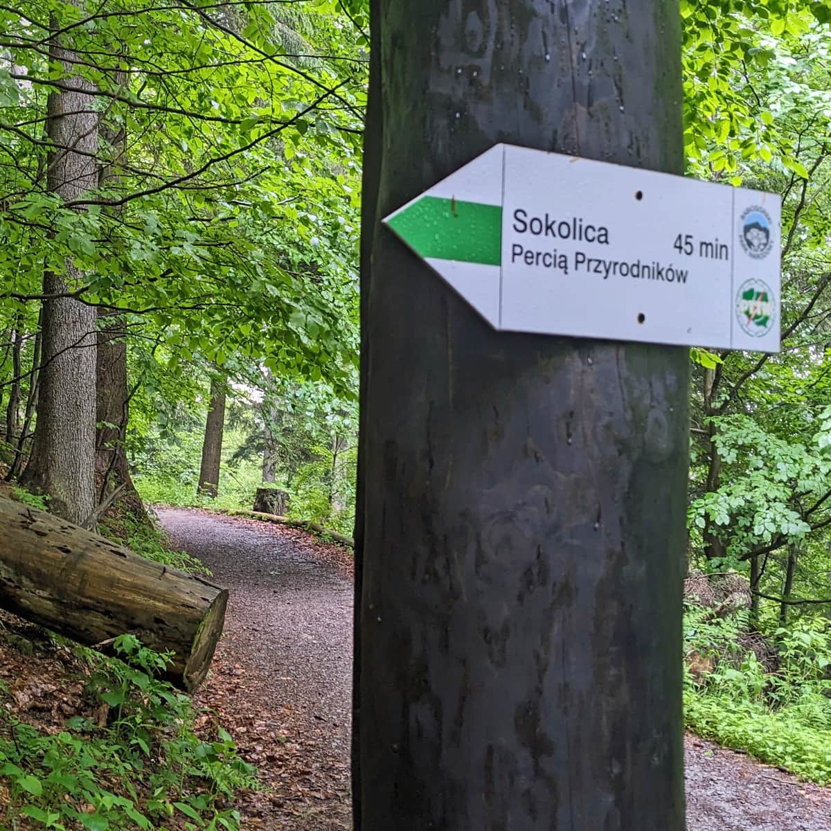
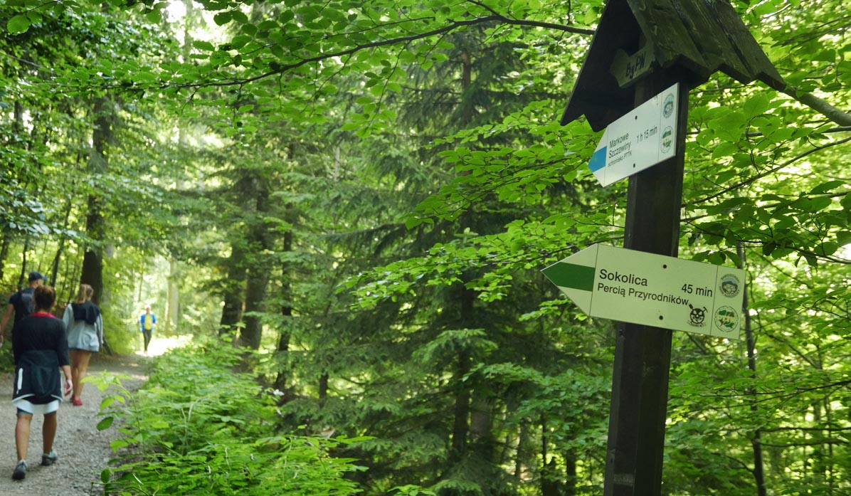
From the blue trail, two side trails branch off: closer to Krowiarki, the green trail, called Perć Przyrodników, leads to Sokolica - a steep but short ascent to a beautiful viewpoint:
Medium
The Naturalists' Path: From Górny Płaj to Sokolica

...and also the yellow trail - the famous Perć Akademików: the most difficult trail to Babia Góra with chains and hooks.
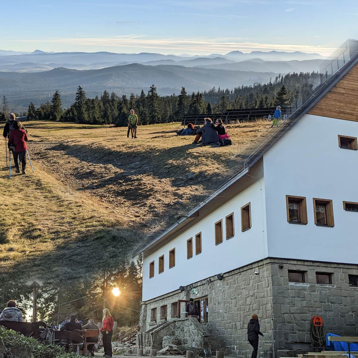
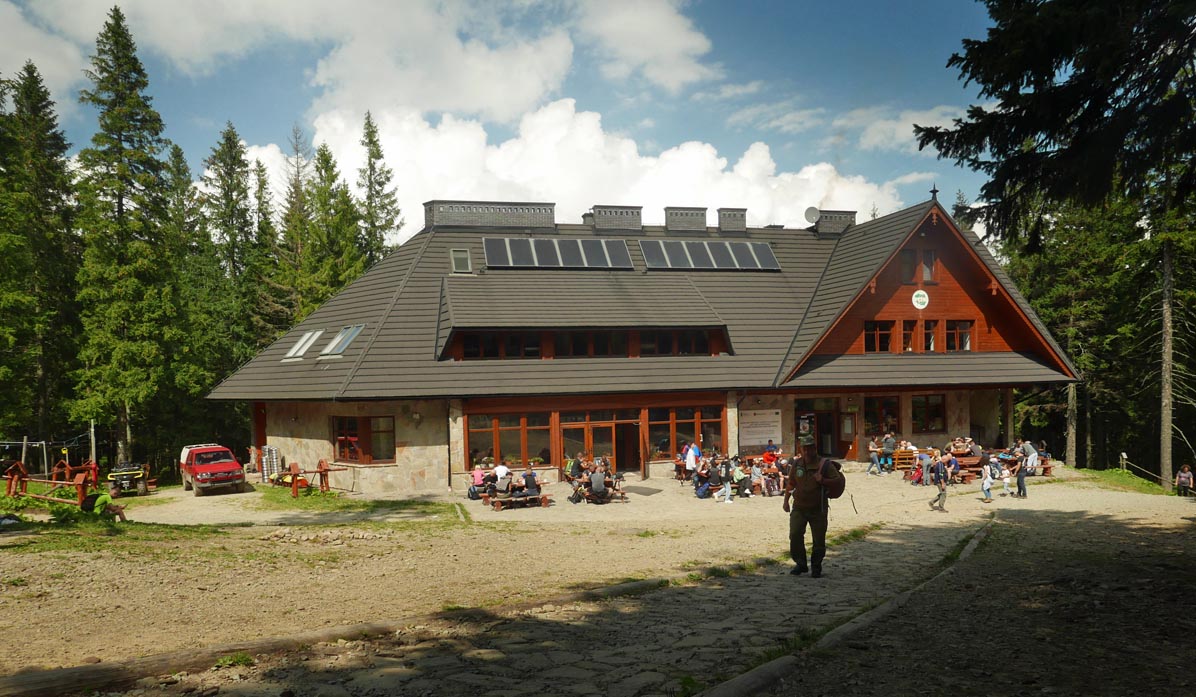
Markowe Szczawiny Shelter
A large shelter on a small forest clearing (without views). Here, we can rest, get a commemorative stamp, have lunch, sweets, drinks, etc. We can also take a short walk along the black trail to a viewpoint overlooking Zawoja (10-15 minutes, without a stroller).
Return from Markowe Szczawiny Shelter
If we have a stroller, we can only return the same way, i.e., the blue trail. If not, we can consider several other routes. The red trail through Przełęcz Brona and the summit of Babia Góra will lead us to the Krowiarki parking lot (steep and long route: about 3 hours, over 500 meters of elevation gain).
We can descend to Zawoja-Markowe using the green or black trail, and to Zawoja-Czatoża by a narrow but easy path, the yellow trail.
PS. This route has been included in our article "Around Babia Góra. Trails around Zawoja." Would you like to know about the others?
Around Babia Góra. Trails in the vicinity of Zawoja
Where to go for a mountain hike from Zawoja? Not just to Babia Góra! The surrounding mountain ridges offer kilometers of beautiful scenic trails accessible to everyone! ...