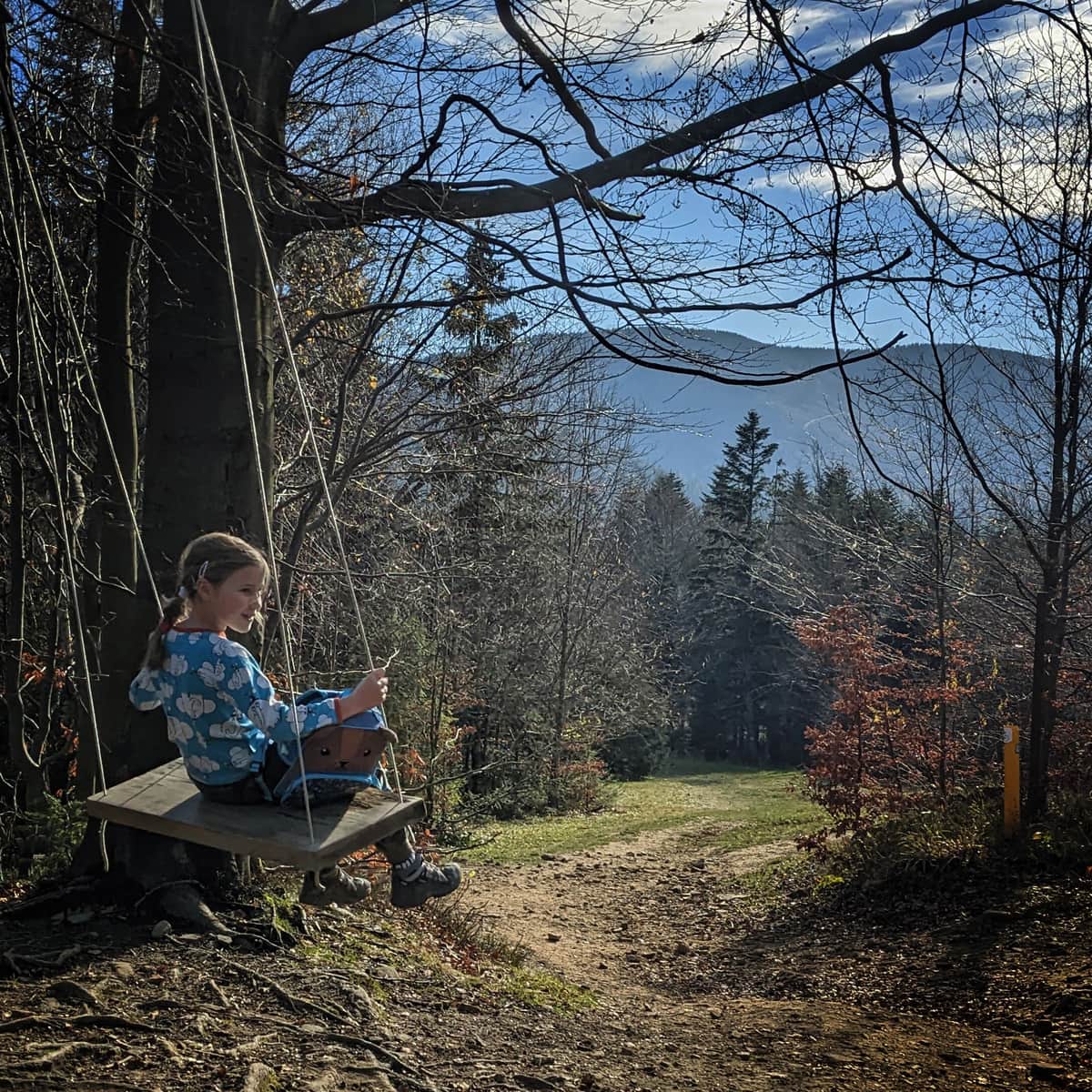
From Zawoja to Kolisty Groń and Zygmuntówka
Town: Zawoja Nearby: Sucha Beskidzkabeach_access Route in the shade
restaurant Restaurant or bar nearby
directions_car Access by car
directions_bus Can be reached by bus
wc Toilet along the route
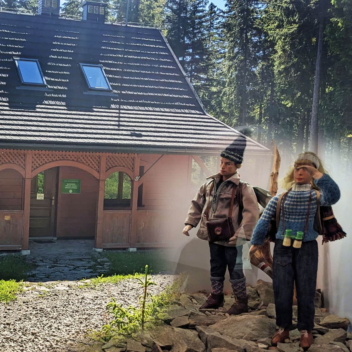
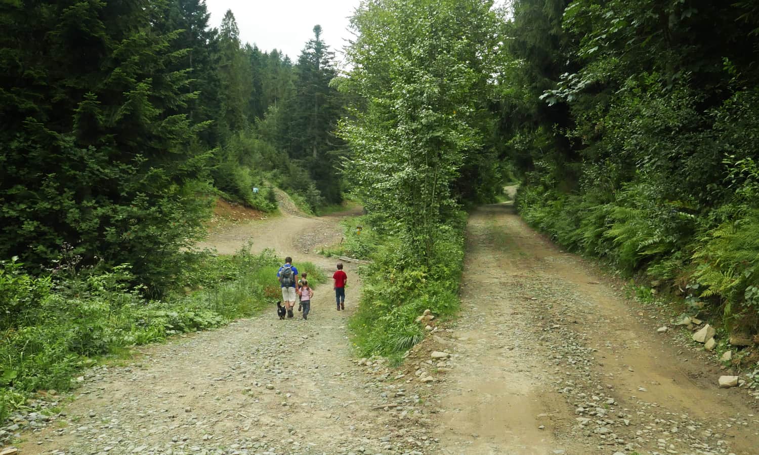
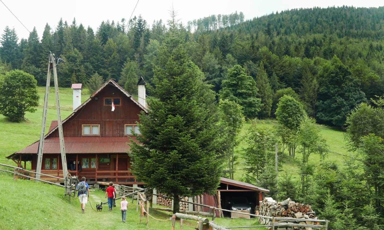
Black Trail starts at the PTSM shelter in Zawoja Wełcza (parking, grocery store, bus stop are available near the shelter). You can also drive further on the asphalt road, and at the last bus stop, there is a small parking area for 2-3 cars.
At this point, the road forks: the black trail leads straight up the rocky road, along the stream. After a while, the road splits again: the black trail goes left across the stream towards Hala Barankowa, and the paved road (cycling trail) goes right towards Przełęcz Klekociny and Zygmuntówka.
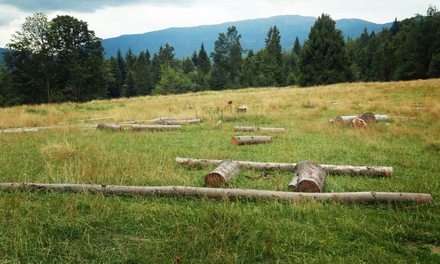
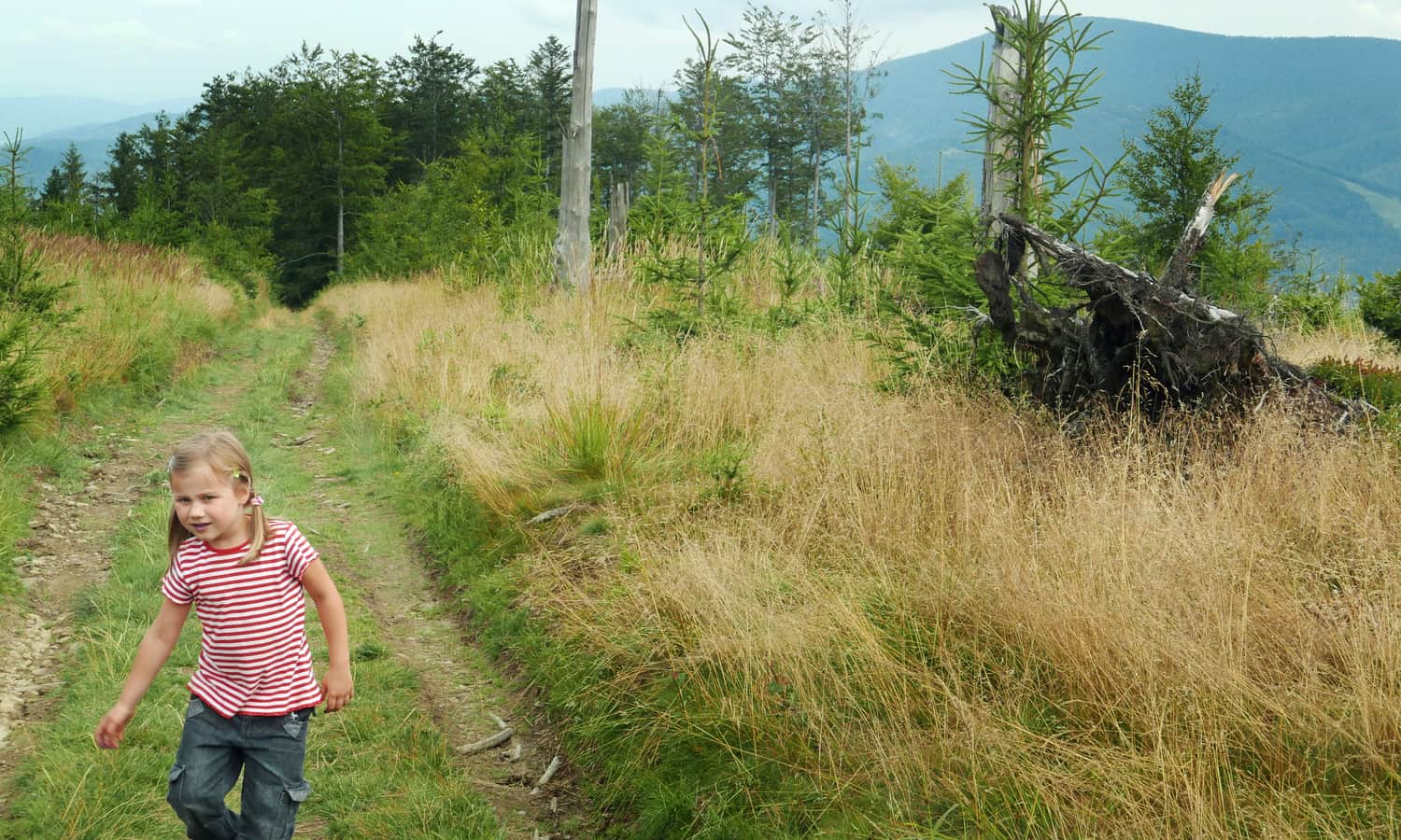
After crossing the stream, the black trail ascends steeply uphill, but after about 20 minutes, we reach a meadow with a view of Babia Góra. It took us a little over an hour to reach the meadow from the PTSM shelter.
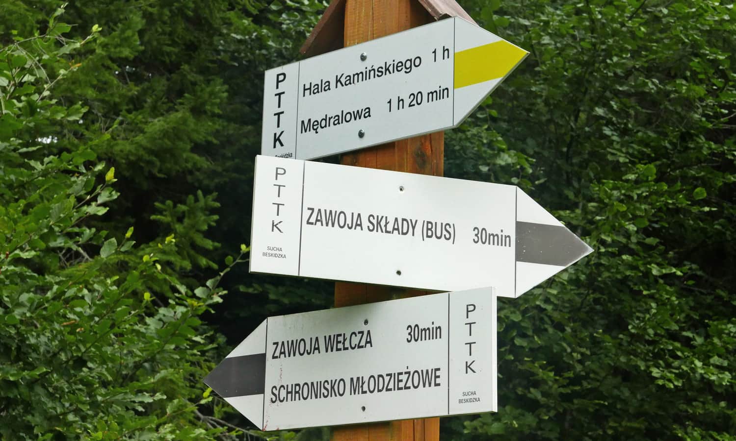
On Hala Barankowa (further along the black trail), you can encounter flocks of sheep because there is a shepherd's hut selling delicious and fresh sheep milk products!
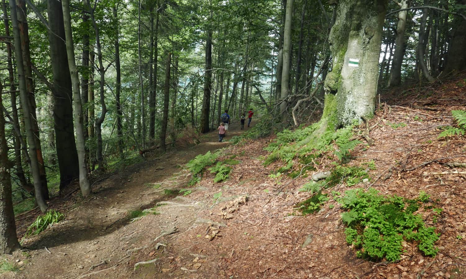
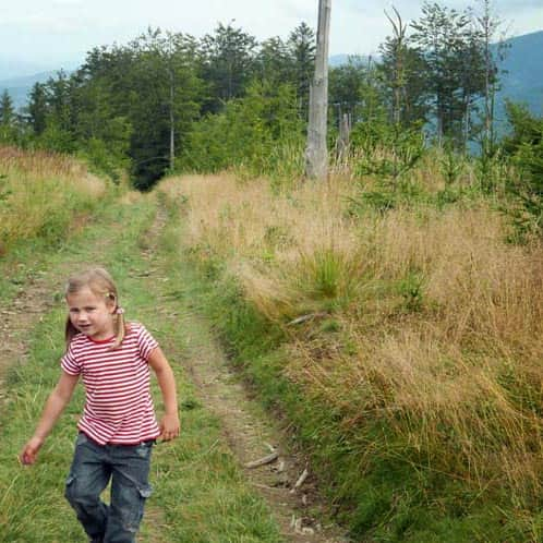
We continued our hike on the yellow trail towards Magurka / Kolisty Groń. The first part of the trail was quite demanding, with a narrow, rocky, and steep gorge to overcome.
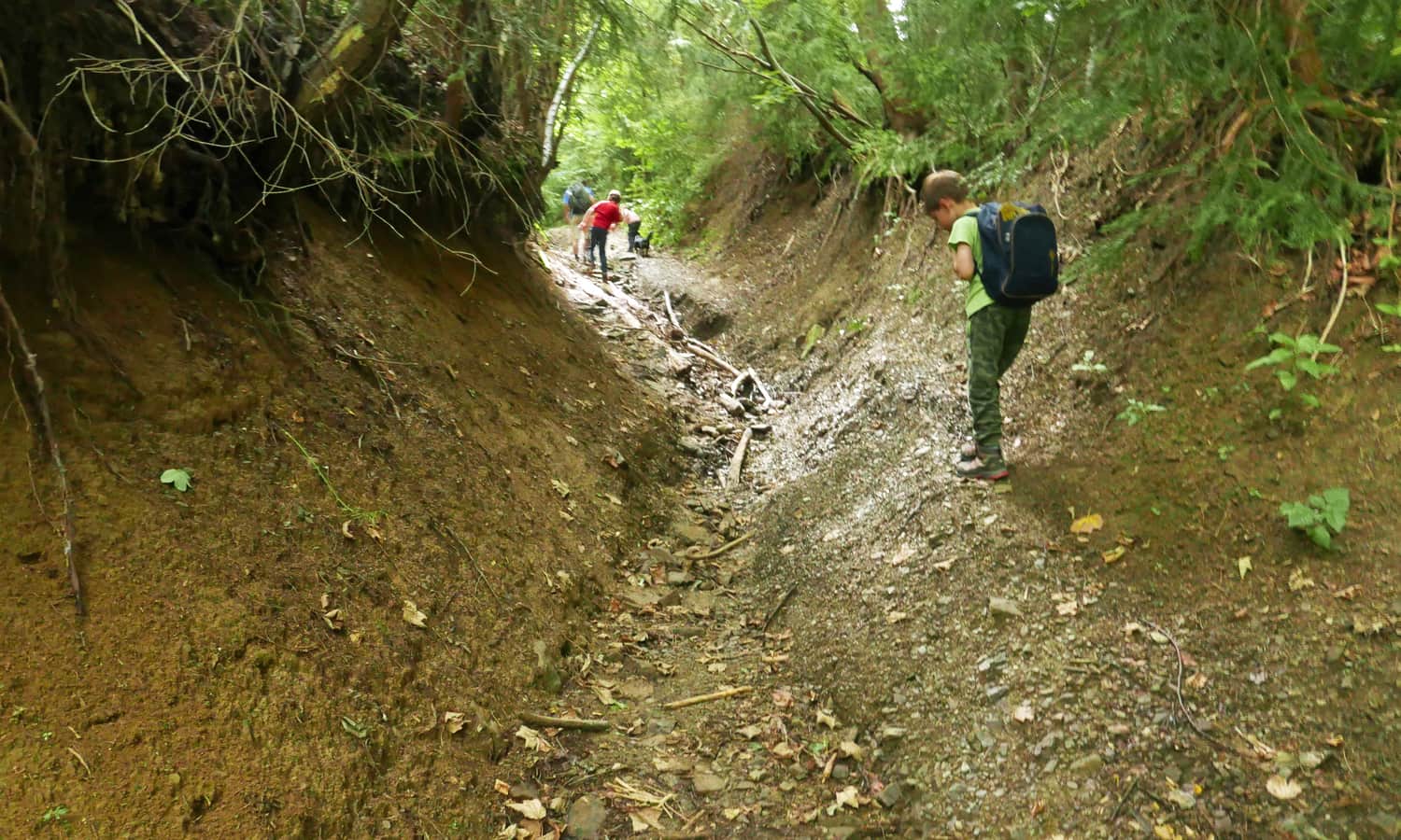
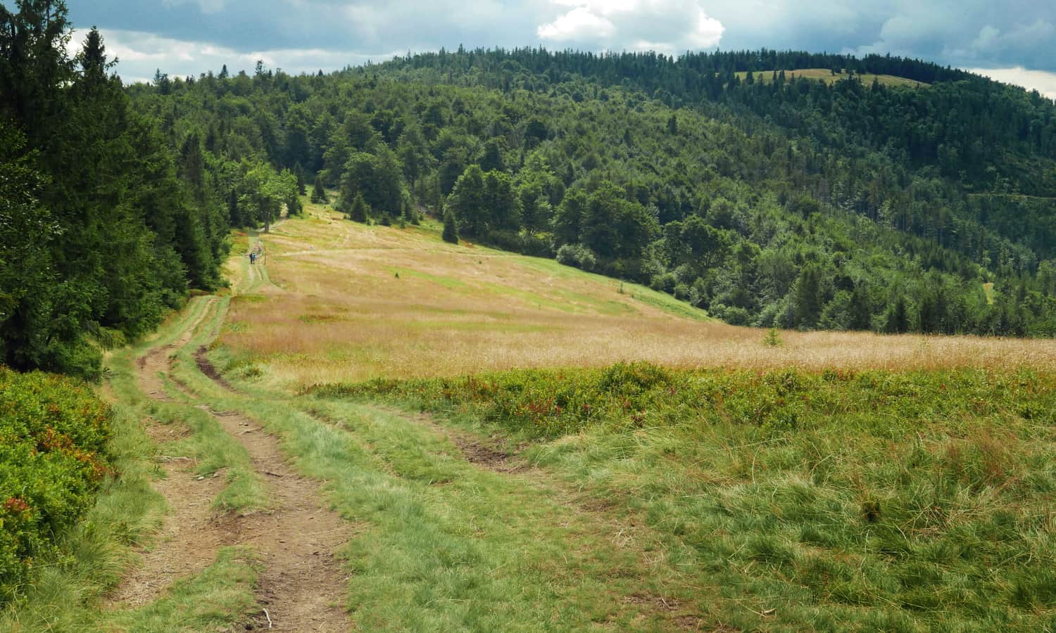
However, as we got closer to the destination, the trail became easier, and we were rewarded with views of Babia Góra and blueberry fields beneath our feet!
The climb ends at a picturesque meadow, Hala Kamińskiego, below Kolisty Groń:
If it weren't for the approaching rain clouds, we would have continued to the hill just beyond the Mędralowa pass. However, we decided to descend to Przełęcz Klekociny on the green trail and take a rest at Zygmuntówka.
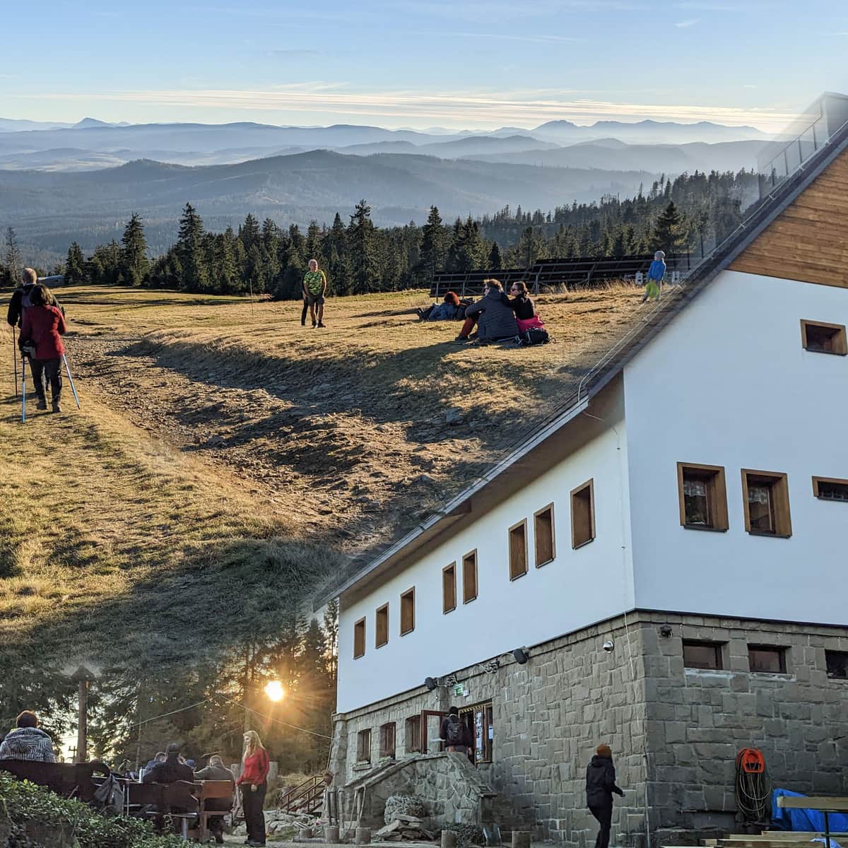
Przełęcz Klekociny and Zygmuntówka
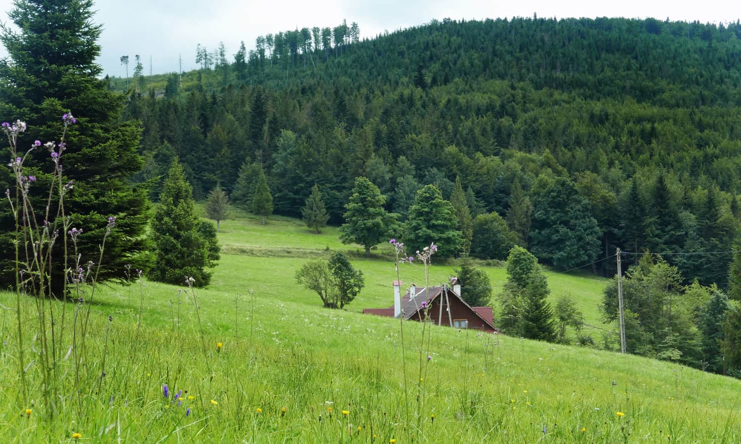
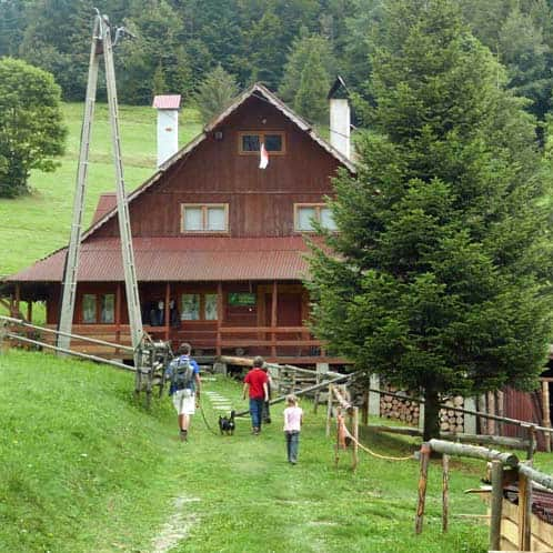
Zygmuntówka used to be a tourist station just below the pass, offering accommodation and serving tea, grilled sausages, or scrambled eggs to passing hikers (and stamping the PTTK hiking book). Today, it operates as a "guesthouse" and accommodates organized groups, even though it has disappeared from the latest tourist maps...
From Przełęcz Klekociny to Zawoja - Wełcza
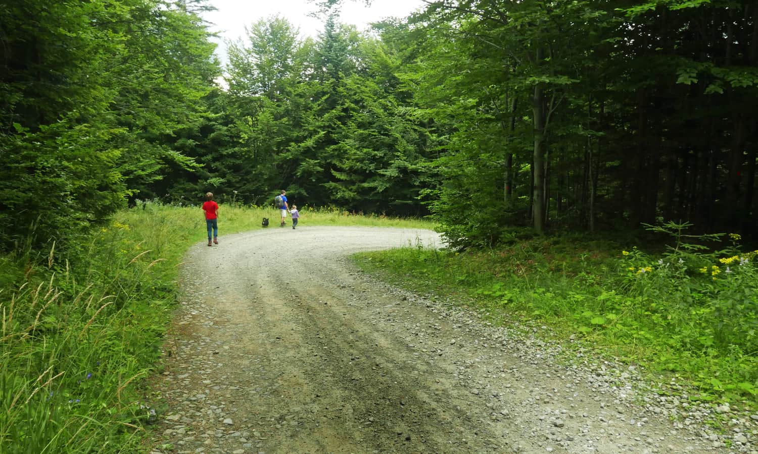
We returned to Zawoja Wełcza along a wide paved forest road (cycling trail, approximately 4 km), which took us about an hour to reach the starting point.
PS. This route has been included in our article "Around Babia Góra. Trails around Zawoja". Would you like to explore the rest of them?
Around Babia Góra. Trails in the vicinity of Zawoja
Where to go for a mountain hike from Zawoja? Not just to Babia Góra! The surrounding mountain ridges offer kilometers of beautiful scenic trails accessible to everyone! ...