From Kamionna through Pasierbiecka Góra to the Kamionna observation tower
Nearby: Dobczyce| Distance | 3.8km |
|---|---|
| Time | 2h 3min |
| Ascents | 443m |
| Descents | 55m |
beach_access Route in the shade
directions_car Access by car
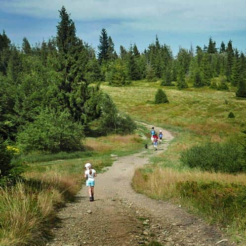
The trail to the observation tower on Kamionna (802 meters above sea level) through Pasierbiecka Góra (764 meters above sea level) is a suggestion for a short forest walk. It's perfect for those who want to visit one of the newest observation towers in the Beskid Wyspowy and combine it with a hike, not just a car trip.
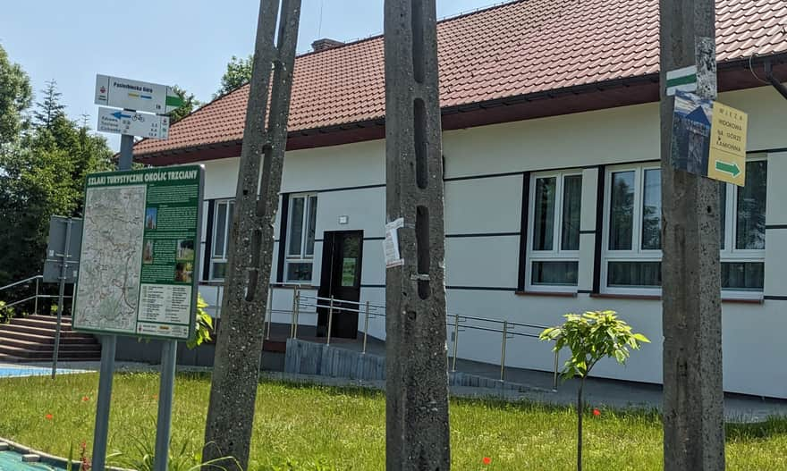
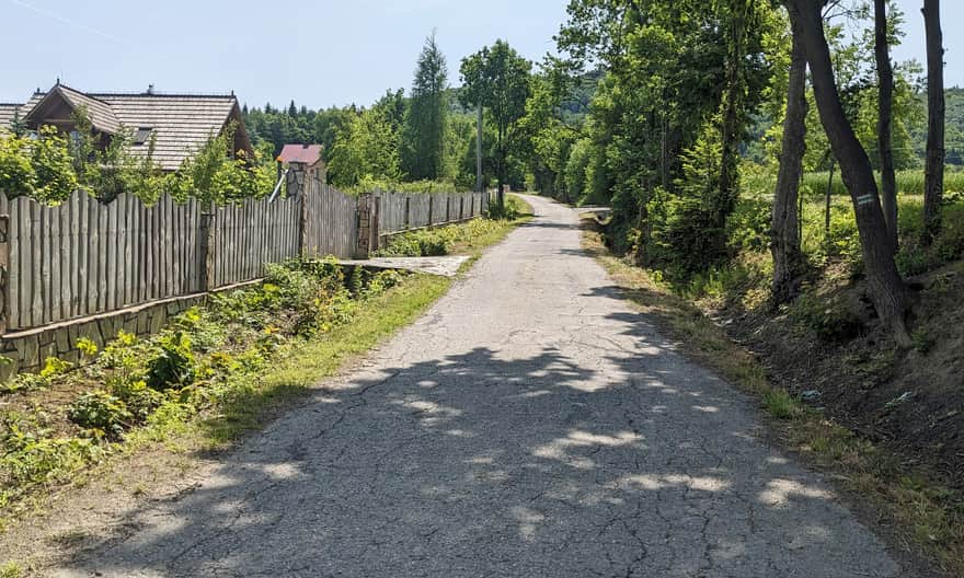
Start of the Green Trail in Kamionna
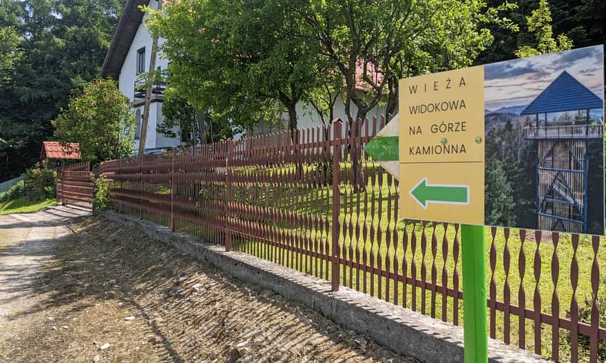
The trail starts in the village of Kamionna, right next to the primary school, kindergarten, and bus stop. There is a wide bay for cars and a marked parking lot about 1 km further (next to the church). The green trail was marked quite recently due to the new observation tower. The green signs will lead us only to Pasierbiecka Góra, but there are also signposts to the tower - it's the main attraction and the goal of the hike!
From Kamionna to Pasierbiecka Góra
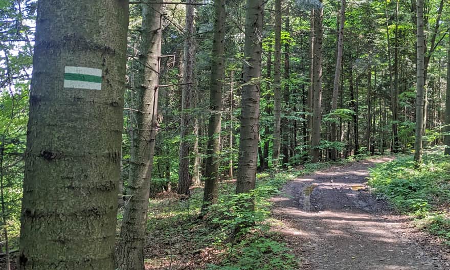
The first few hundred meters of the trail is a walk on a village asphalt road. After about 15-20 minutes, we reach the last buildings and turn left into the forest.
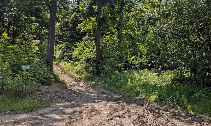
Forest Road to the Top of Pasierbiecka Góra
The forest road gives us a break from walking on asphalt and from climbing: it gently traverses the slopes of Pasierbiecka Góra and reaches a forest clearing for timber collection. Here, we need to turn right onto a narrower and definitely steeper path.
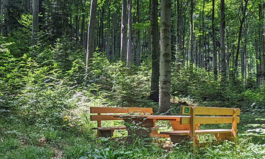
From this point, the climb on the northern slopes of Pasierbiecka Góra is not the easiest: over a distance of about 1 km, there is a height difference of 250 meters! However, along the way, we have 3 rest spots: benches with tables named "Zając" (Hare), "Dzik" (Boar), and "Jeleń" (Deer).
Attention! Change in the Route of the Kamionna - Pasierbiecka Góra Trail
If you choose to climb the green trail from Kamionna, it's worth knowing that its route in the field is different from the maps (printed and apps). In reality, the green trails lead us straight to the sign with the name of the peak (there are also two, but more modest benches), while on maps (as of June 2025), the green trail directly connects with the blue and yellow trails a few dozen meters east of the peak.
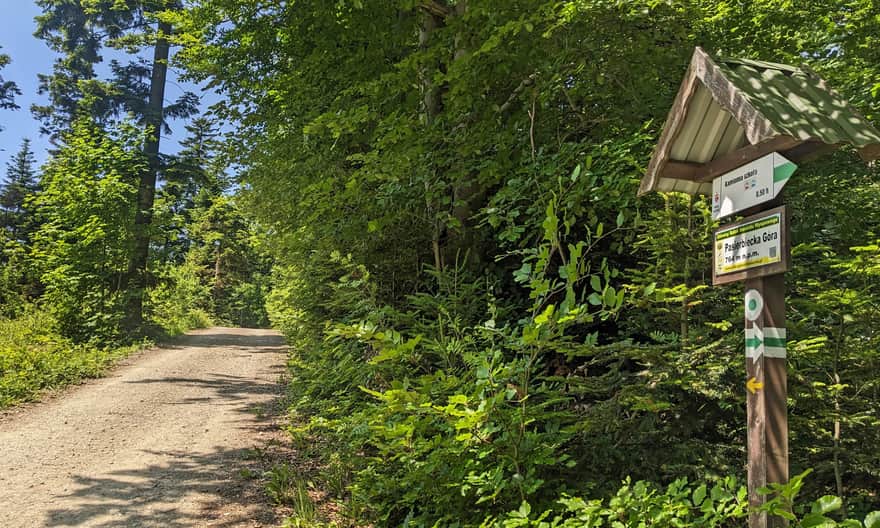
Pasierbiecka Góra, 764 meters above sea level - Views?
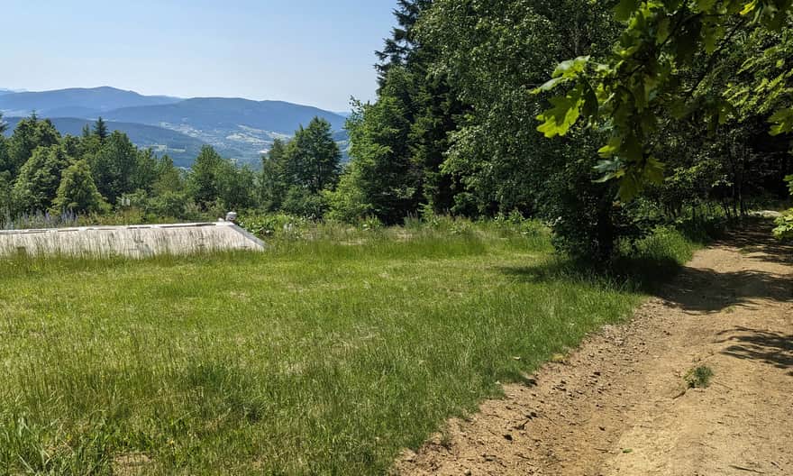
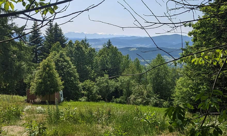
The peak of Pasierbiecka Góra is surrounded by forest. However, just walk a few dozen meters on the forest road to the east, where the yellow and blue trail signs are, to find a small but very nice "view window" to the south (currently under construction - so we'll see how long the "window" remains open...)
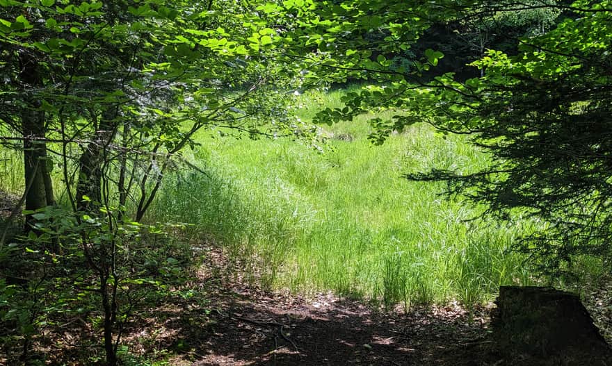
Route Along the Ridge Pasierbiecka Góra - Kamionna: Reserve and Peat Bog
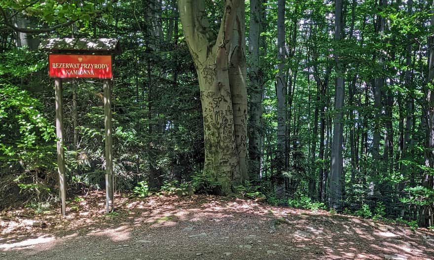
The peaks of Pasierbiecka Góra and Kamionna are only 1.5 km apart. They are connected by a comfortable and almost flat forest road leading along the border of the Kamionna Reserve, protecting the beech forest on the wild and steep northern slopes. On the southern side of the ridge, it's worth visiting the peat bog - it's an overgrown former pond on Kamionna.
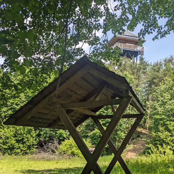
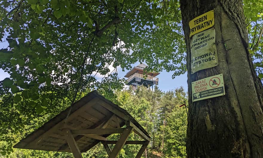
Reaching the Tower on Kamionna
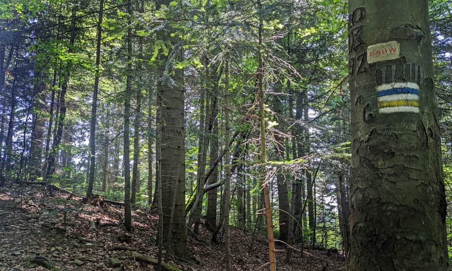
Upon reaching the eastern border of the Kamionna Nature Reserve, the blue and yellow trails accompanying us turn left, as they currently bypass the peak and tower on Kamionna (note: on older printed maps, they pass through the peak!).
Our path to the goal, which is the peak and observation tower on Kamionna, now leads without signs, straight ahead (on the trees, you can spot painted-over old signs).
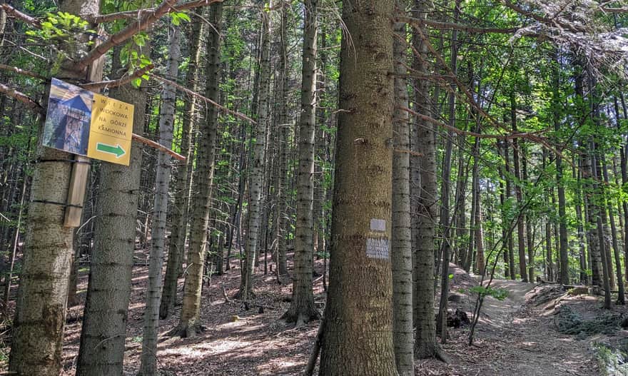
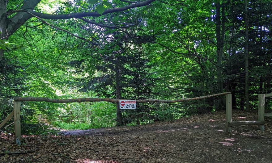
After a few dozen meters, we reach a barrier that prohibits driving to the tower - we can walk through, and we should, because this is the path to the observation tower on Kamionna.
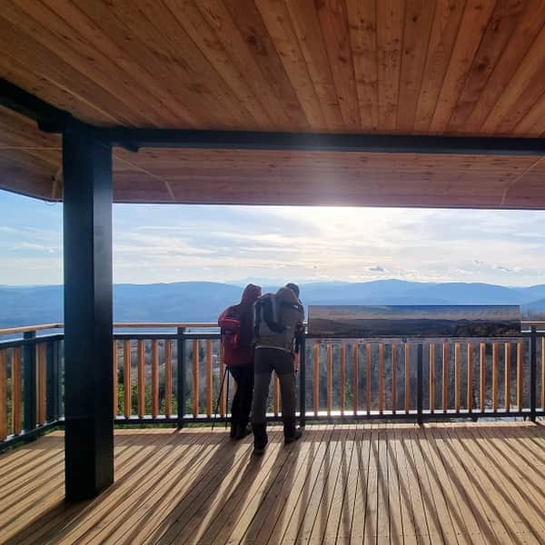
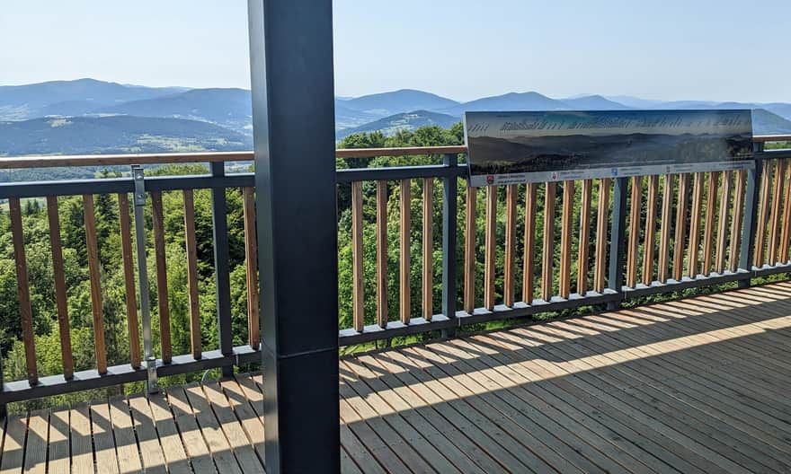
Tower on Kamionna - Views
From the new observation tower on the top of Kamionna (802 meters above sea level), there is a beautiful panoramic view. For more about the observation tower on Kamionna and other routes to the top, we write here:
Kamionna - Observation Tower Near Krakow
Kamionna, 802 meters above sea level, is a peak in the northern part of the Beskid Wyspowy mountains in Poland. It is famous for its new observation tower. From the tower's terrace, you can enjoy beautiful views of the surrounding mountain ranges and the Tatra Mountains. ...

Publish Date:
Last Updated: