From Hańczowa to Kozie Żebro - recommended red trail
Nearby: Wysowa-Zdrójbeach_access Route in the shade
directions_car Access by car
directions_bus Can be reached by bus
Kozie Żebro (847 meters above sea level) forms a distinctive long ridge separating the Ropa Valley, the area of Wysowa-Zdrój, from the Regietówka Valley. The summit is famous for having one of the steepest trails in the Low Beskids. However, we suggest a pleasant and easy forest walk to Kozie Żebro from Hańczowa.
Start of the Red Trail to Kozie Żebro in Hańczowa
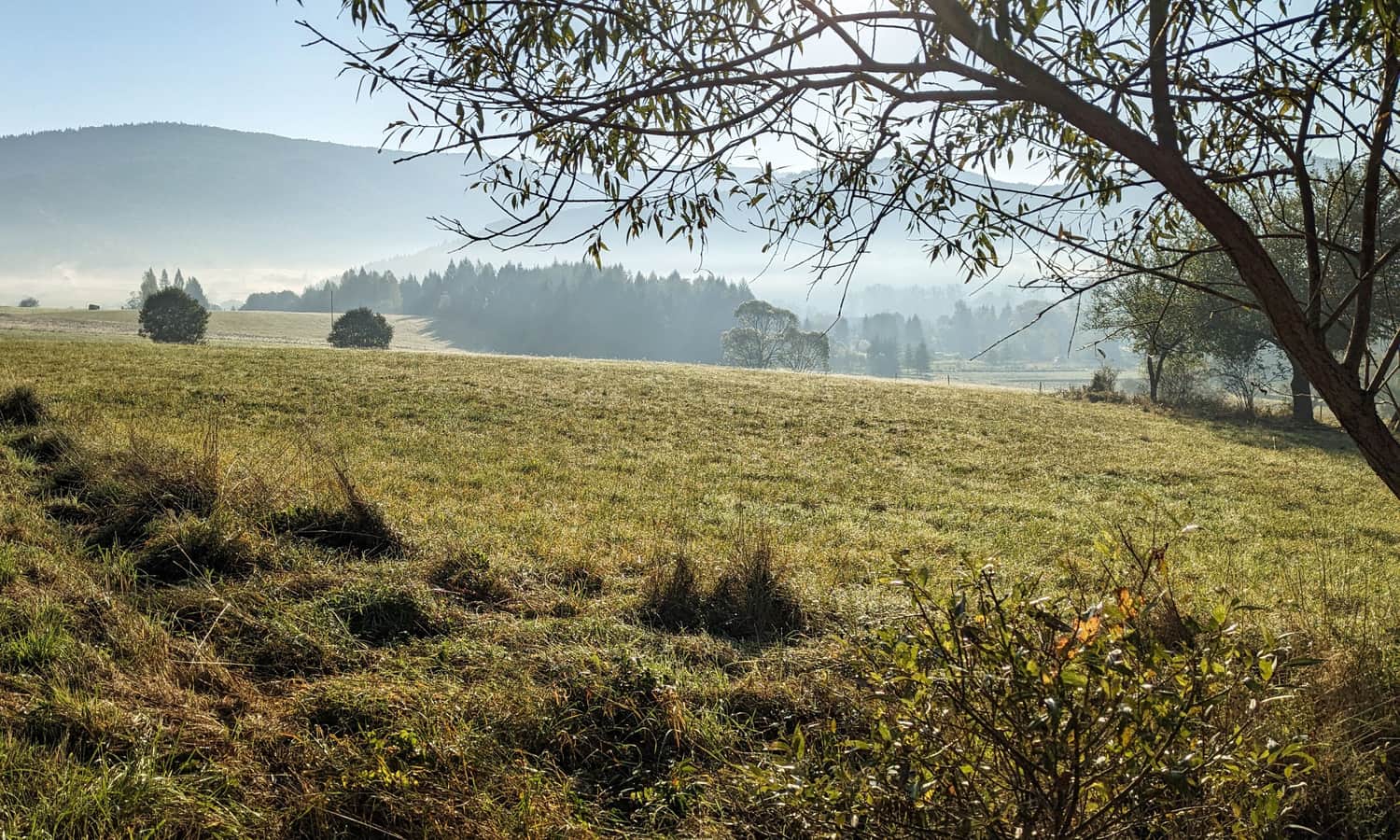
Hańczowa is a small village in the Ropa Valley, about 4 km from the well-known spa town of Wysowa-Zdrój. Thanks to this, we can reach it by buses and coaches (e.g., A23 line of Małopolskie Linie Dojazdowe, route: Tarnów - Wysowa-Zdrój). The bus stop is located right at the beginning of the trail. We can park our car, for example, near the cemetery.
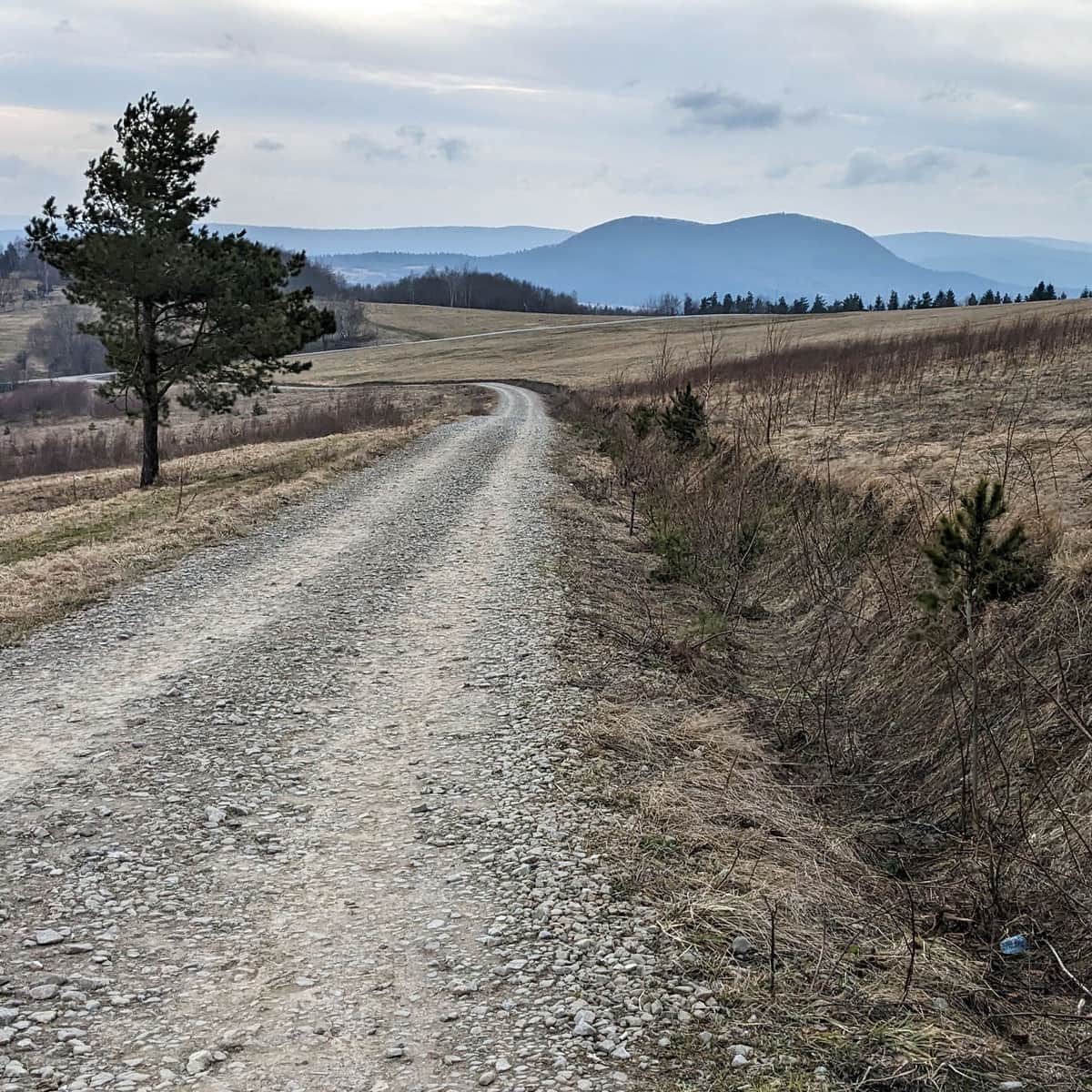
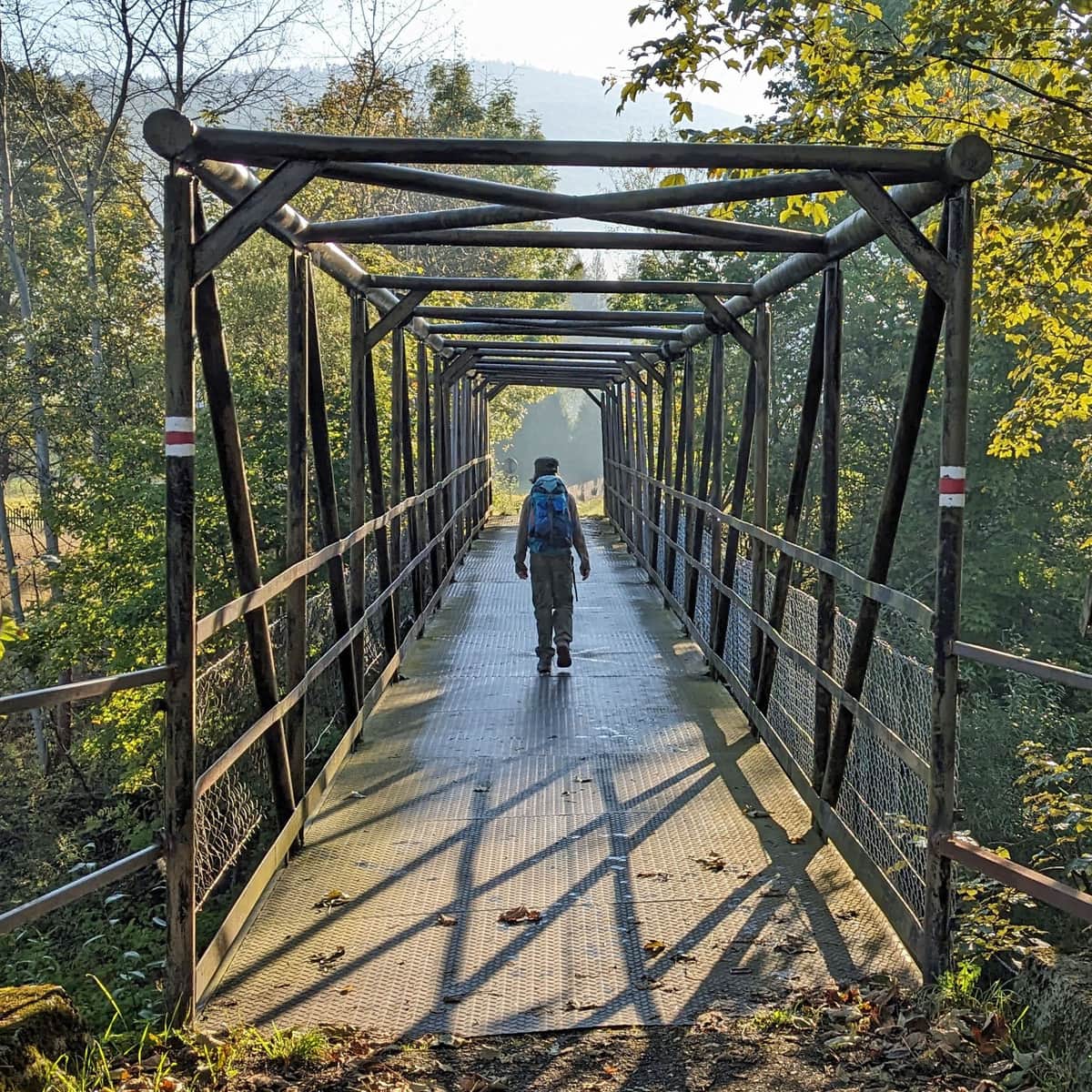
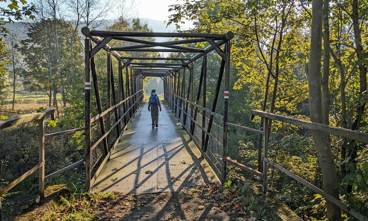
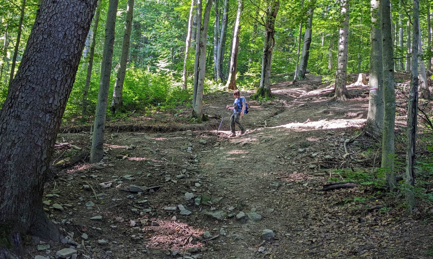
Taking the Red Trail to Kozie Żebro from Hańczowa
We pass by the school and then cross a picturesque bridge over the Ropa River, after which we turn right. We pass by buildings and reach the Markowiec stream (also known as Markowska Woda).
There won't be any more bridges from here! We climb up the narrow path along the stream and cross it several times by jumping on stones.

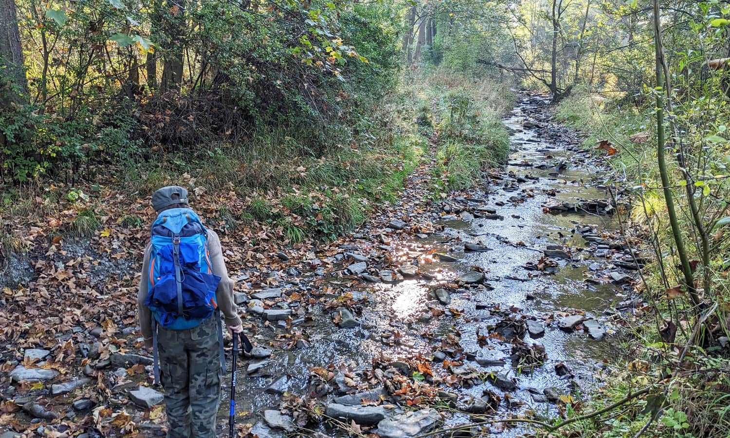

If we don't feel like doing that, we can bypass this beautiful valley and continue on the road, which we will reach anyway on the trail. However, we have to turn onto the road earlier, before reaching the stream (it can be seen on the map).
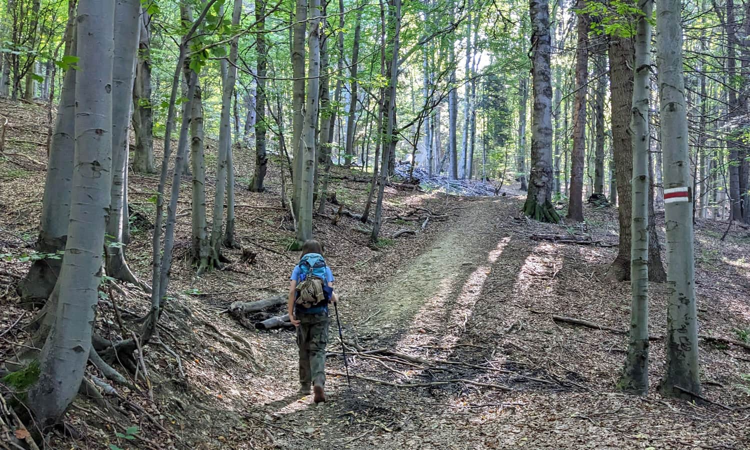
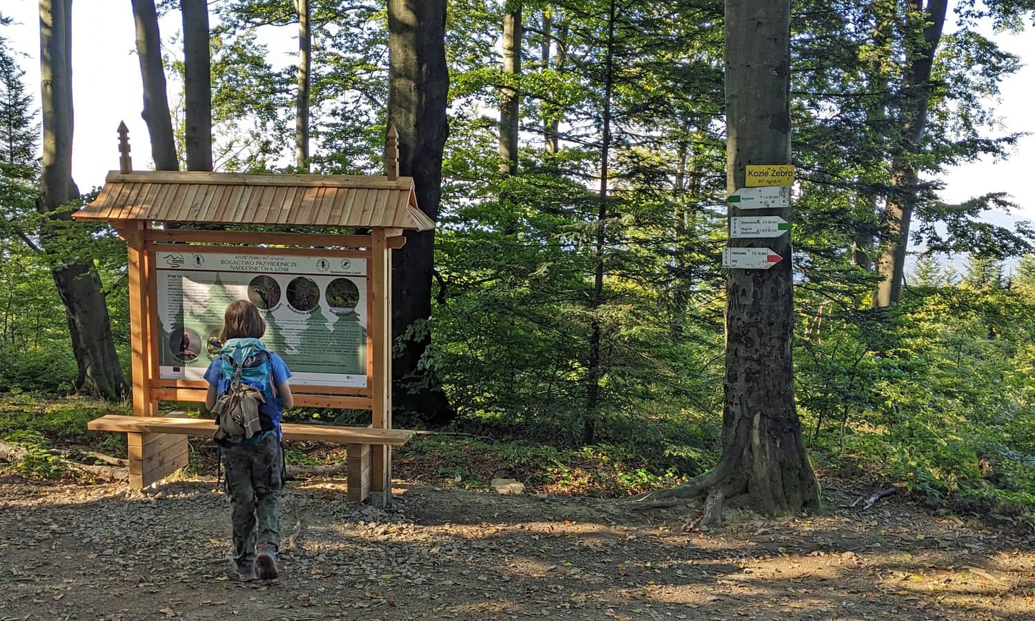
After crossing the stream, a section of the trail awaits us, leading through a wide forest road. Attention: at the signboard with information about the historic Lemko churches, we turn left into the forest.


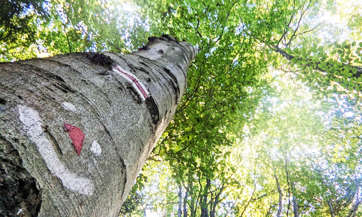
After entering the beautiful beech forest, the path will become significantly steeper: it's time to do some climbing! It will be steep in some places, but you will definitely manage! Perhaps the cheerful beech tree you will encounter along the way will give you some encouragement. Keep an eye out for it!
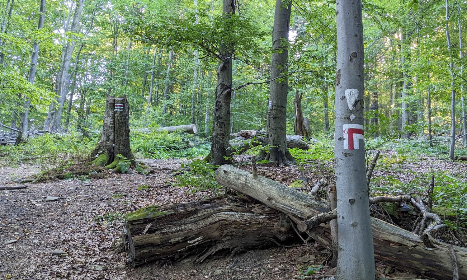
After reaching the junction with the green trail, the path will no longer be as steep, and we will soon reach our destination: the summit of Kozie Żebro.
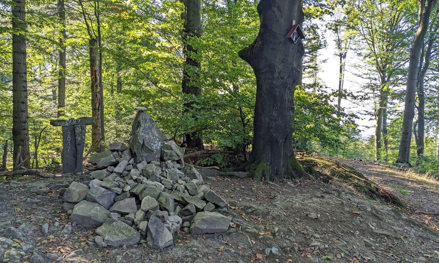
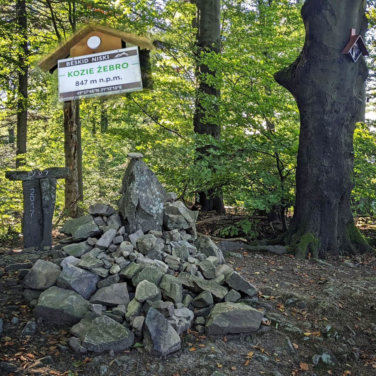
Kozie Żebro, 847 meters above sea level.
At the summit, there is a bench, a stone mound, a nature information board, and soon there may also be a sign about the nature reserve. As part of the "100 Reserves for the 100th Anniversary of State Forests" campaign, a reserve called "Kozie Żebro" is planned to be established in 2024. It will cover approximately 100 hectares of beautiful beech forest on the northeastern and southwestern slopes of the Kozie Żebro massif. Interestingly, another new reserve, "Markowiec-Gródek," will also be created on the slopes above the Markowiec stream that we passed along the way.
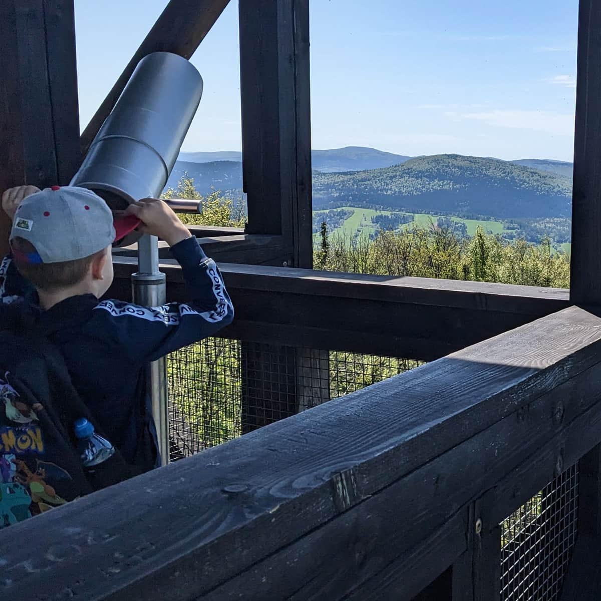
Views from Kozie Żebro
Did you know that from the forested summit of Kozie Żebro, with a bit of luck, you can see the Tatra Mountains through the gaps between the trees? These include the High Tatras (including Łomnica) and two separate "teeth" of the Bielskie Tatra Mountains: Płaczliwa Skała and Hawrań. Look for them to the right of Lackowa, above the green ridge of Ostry Wierch and Biała Skała.
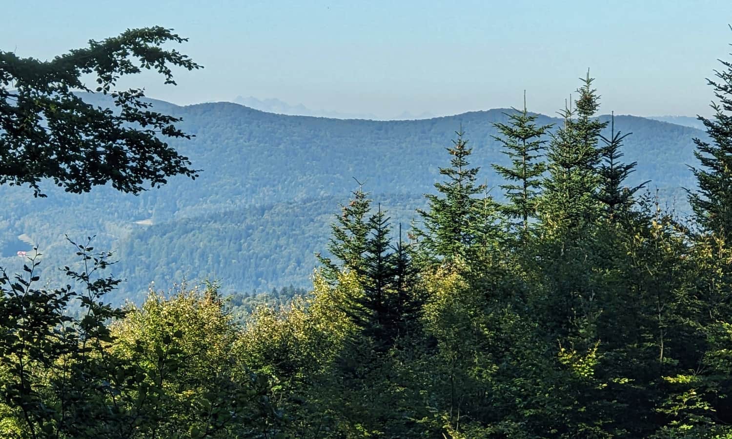
Furthermore, if you look further to the right, you will also see Jaworzyna Krynicka. With a keen eye, preferably equipped with binoculars, you can spot the mast at the upper station of the cable car.
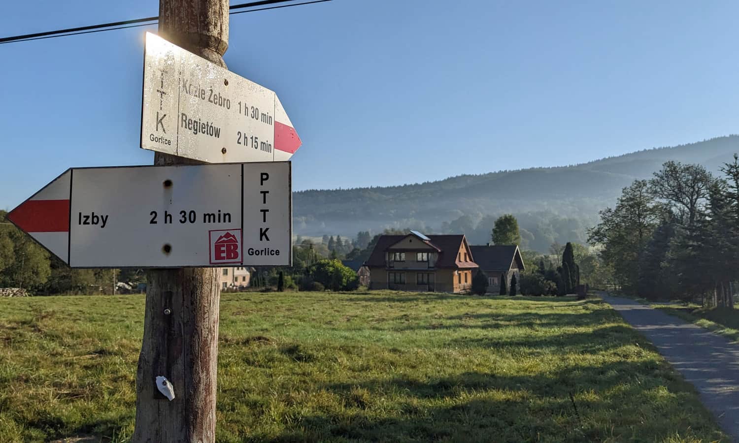
Loop: Hańczowa - Kozie Żebro - Wysowa-Zdrój
After reaching the summit of Kozie Żebro, we will return to Hańczowa using the same path, which takes about 1 hour.
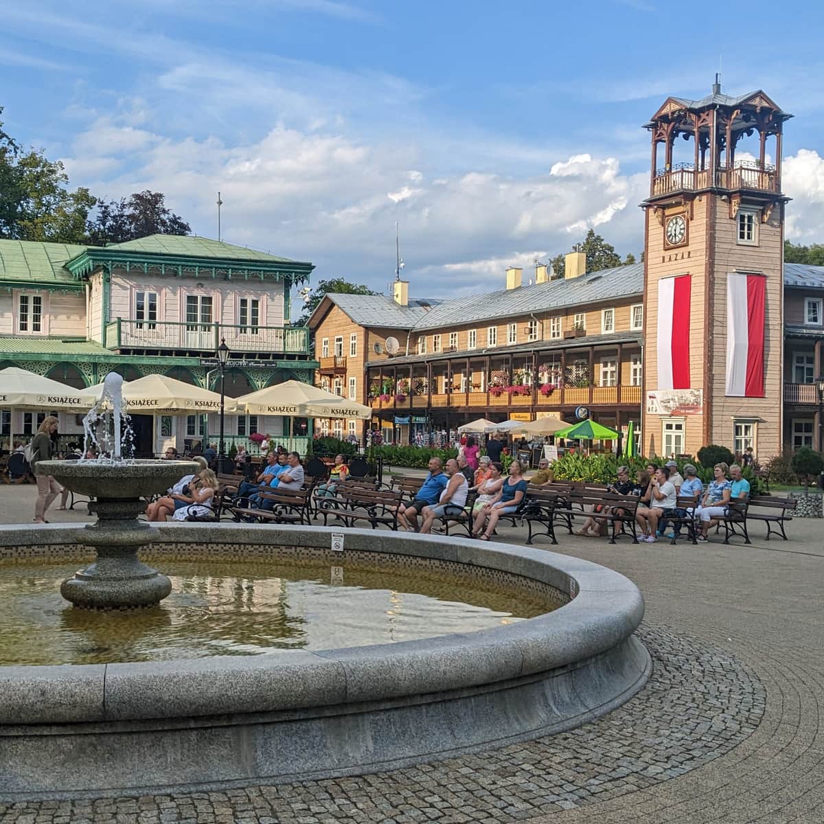
We can also descend to Wysowa-Zdrój using the green trail (about 1 hour) - here, you will find, among other things, a historic church, a spa park, shops, and a restaurant. Then, from Wysowa-Zdrój to Hańczowa, either take a bus or walk along the road for 4 km, completing the "loop" with a total distance of about 12 km to cover, excluding stops, taking approximately 4 hours.
Other Trails to Kozie Żebro
If you want to reach the summit of Kozie Żebro, you can also choose a different route:
- Green trail from Wysowa-Zdrój through the Łopaciński Valley (4 km, 330 m elevation difference, 1.5 hours one way)
- Green trail from Skwirtne (5 km, 460 m elevation difference, 2 hours one way)
- or one of the steepest trails in the Beskids - red trail from Regietów:
Difficult
Climb to Kozie Żebro from Regietów


More in the Region Beskid Niski (Mountain range of the Low Beskids (Beskid Niski))