Climb to Kozie Żebro from Regietów
Nearby: Gorlicebeach_access Route in the shade
directions_car Access by car
The red trail to Kozie Żebro (847 m above sea level) is one of the steepest and most challenging trails in the Low Beskids and the entire Beskid Mountains. Are you ready for this challenge?
Toughest Trails in the Beskids
Why is this trail so difficult? Look at the contour lines on the map: it turns out that over a distance of about 2 km, we overcome a height difference of over 300 m, with 150 m of height in just under 500 m! For comparison: the famous 'wall of tears' on the trail from Izby to Lackowa (the steepest non-Tatra trail in the Polish mountains) is 150 m elevation over 300 m.
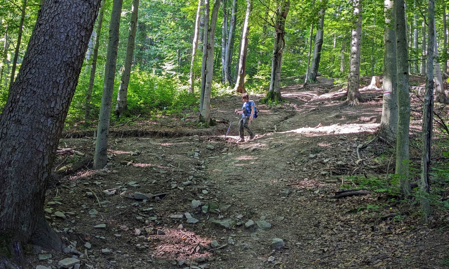
Additionally, the terrain doesn't make it any easier: there are no stone boulders or stable protruding roots to climb like stairs. Packed earth and small, loose stones in winter, during spring thaws, rain, or just after prolonged rainfall will further complicate both the climb and the safe descent!
If you're still ready to try: welcome to Regietów!
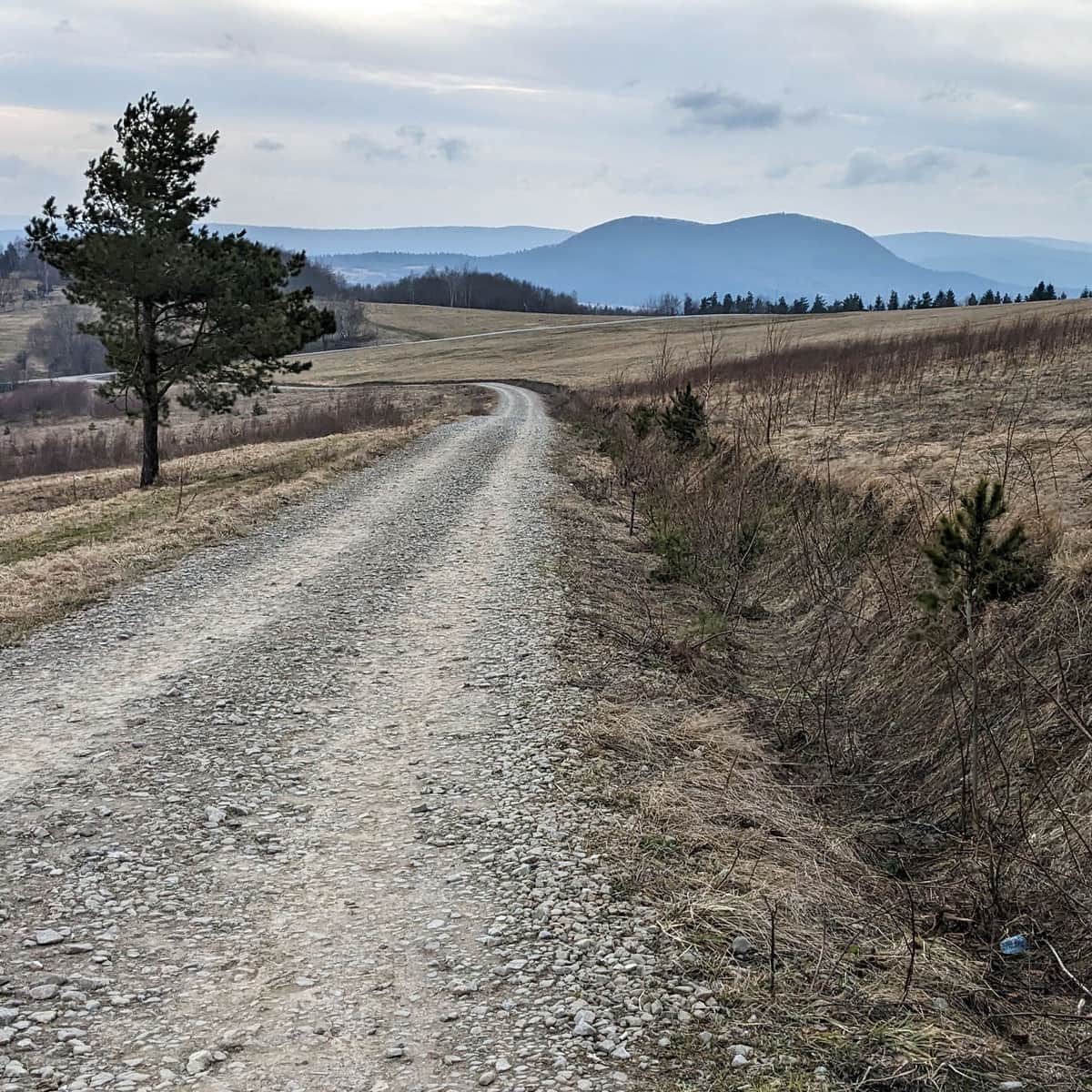
Start of the Red Trail to Kozie Żebro in Regietów
Regietów is a tiny village 'at the end of the world' (just before the Regetowska border pass, which you can walk across to Slovakia). During the summer, there is a seasonal student tent base here - you can rest by the campfire, drink warm coffee and tea, and even stay overnight.
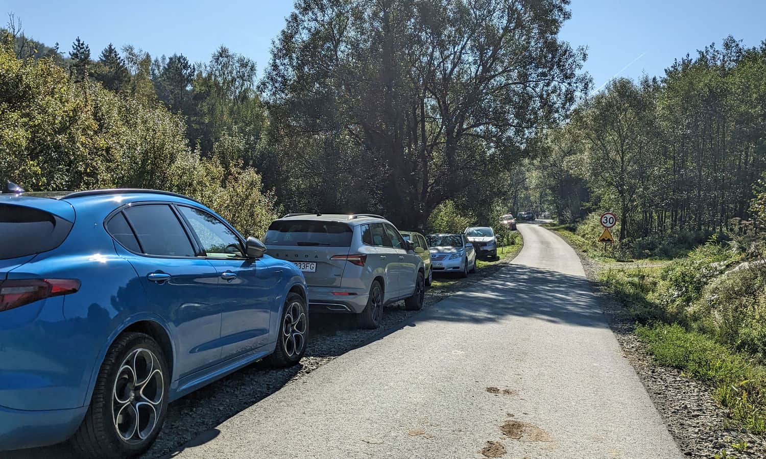
There is no designated parking along the trail. However, the shoulders are wide enough for tourists to leave their cars:
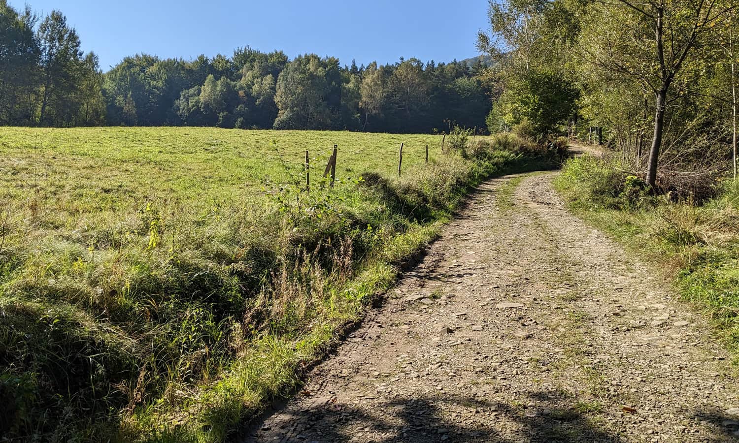
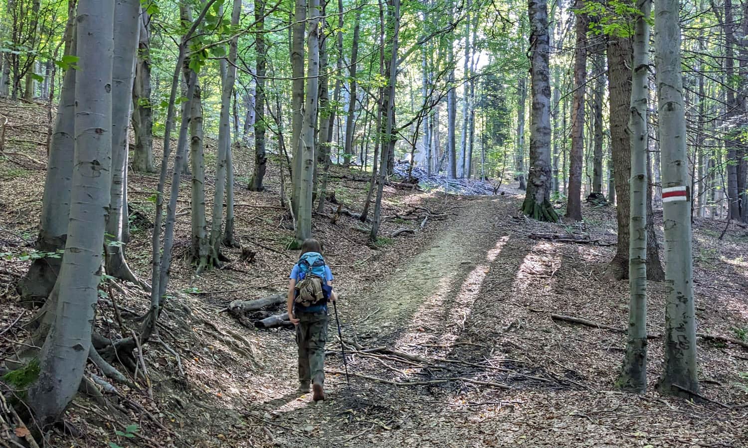
Following the red signs from Regietów towards Kozie Żebro, we initially ascend gently through picturesque meadows.
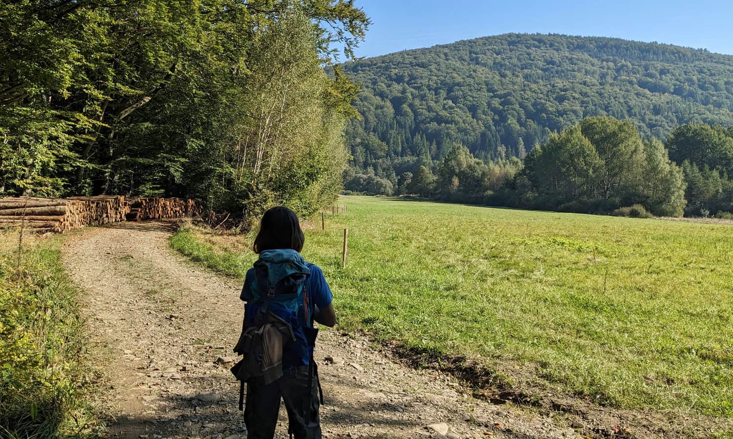
It's worth turning around here and looking at the towering Rotunda (771 m above sea level) on the other side of the Regetówka valley. It's easy to imagine how beautiful the famous cemetery No. 51 must have looked from here before the slopes were overgrown with dense forest...
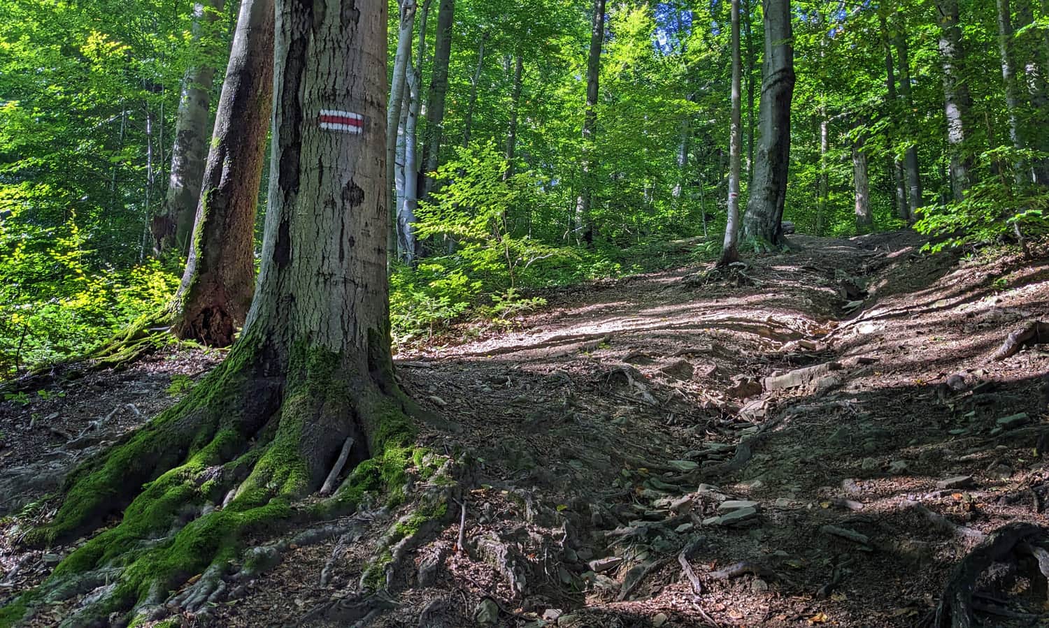
After entering the forest, it doesn't get steep right away. A narrow path leads us along a foresters' nursery, and only just before the summit does it become really steep. As usual, a flat photo cannot convey the impression we get when standing in front of the forest wall...
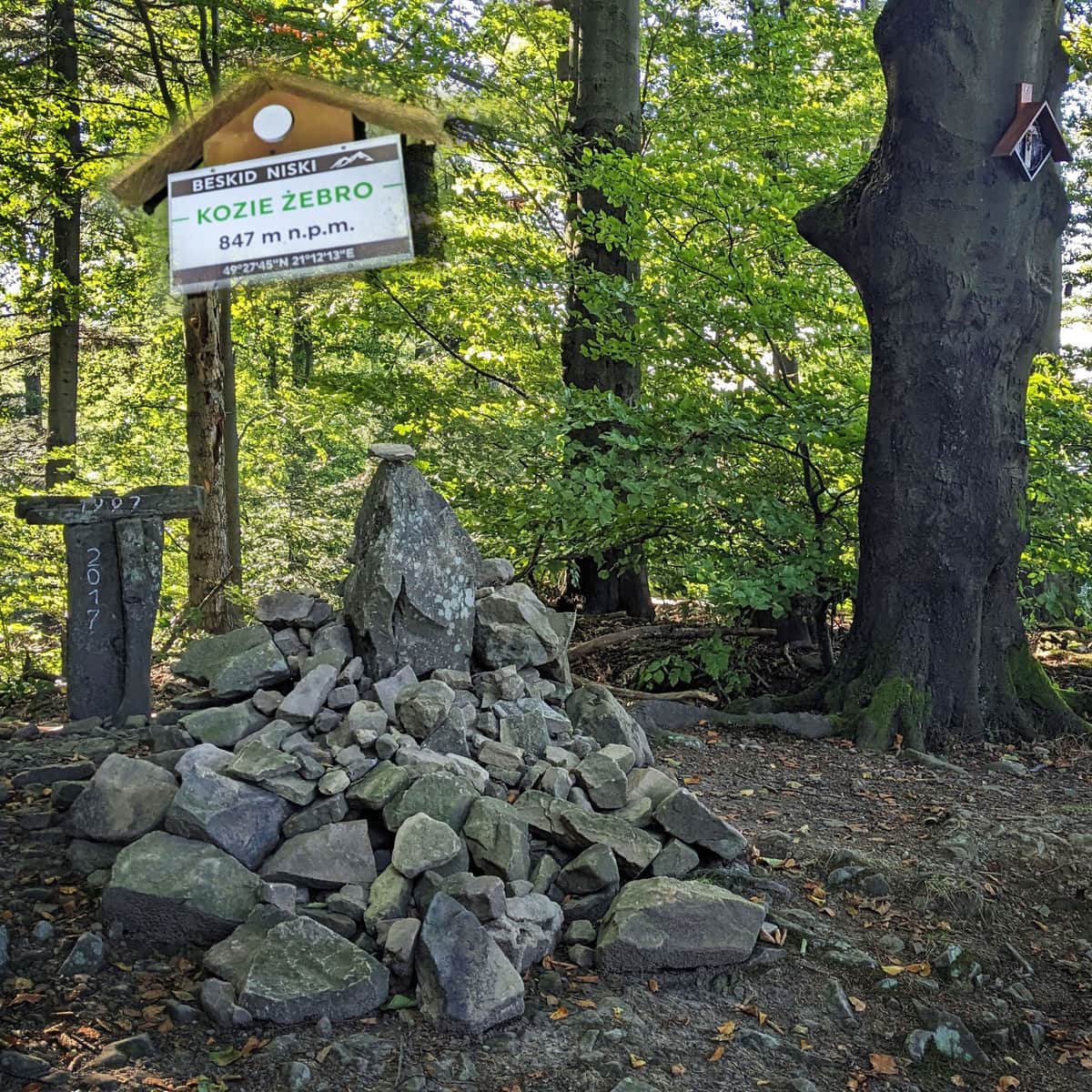
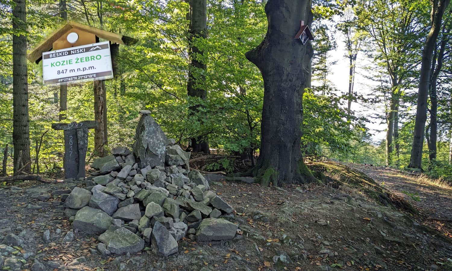
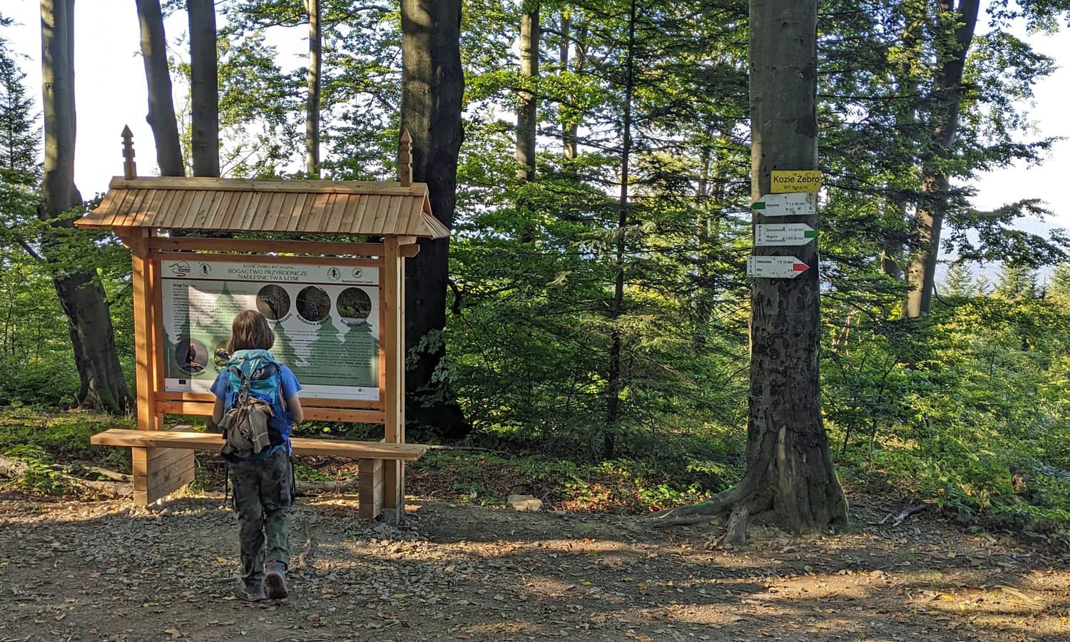
Kozie Żebro, 847 m above sea level
After climbing the lesser-known Beskid 'wall of tears,' we reach the summit. Here we find a bench, a stone cairn, an information board about nature, and soon perhaps a reserve sign? As part of the '100 Reserves for the 100th Anniversary of the State Forests' campaign, a 'Kozie Żebro' reserve covering about 100 hectares of beautiful beech forest on the northeastern and southwestern slopes of the Kozie Żebro massif is planned for 2024.
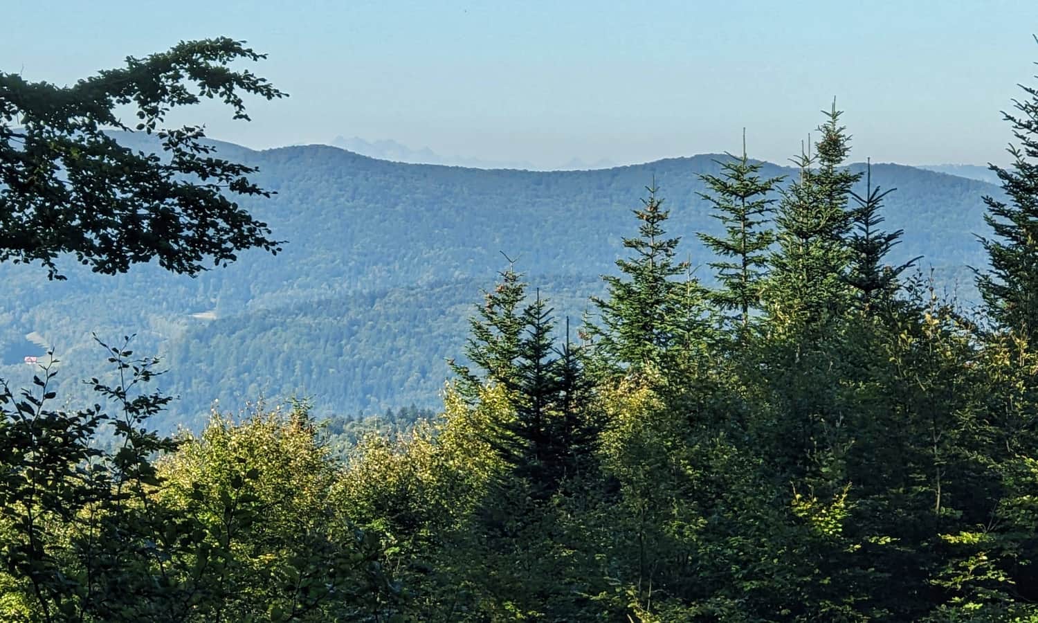
Views from Kozie Żebro
With a bit of luck, in a gap between the trees, we can see the Tatra Mountains: the High Tatras (including Lomnica) and two separate 'teeth' of the Belianske Tatras: Plačlivá Skala and Havran. Look for them to the right of Lackowa, behind the green ridge of Ostry Wierch and Biała Skała. Further to the right, Jaworzyna Krynicka appears. A keen eye (preferably with binoculars) can spot the mast at the upper station of the gondola lift.
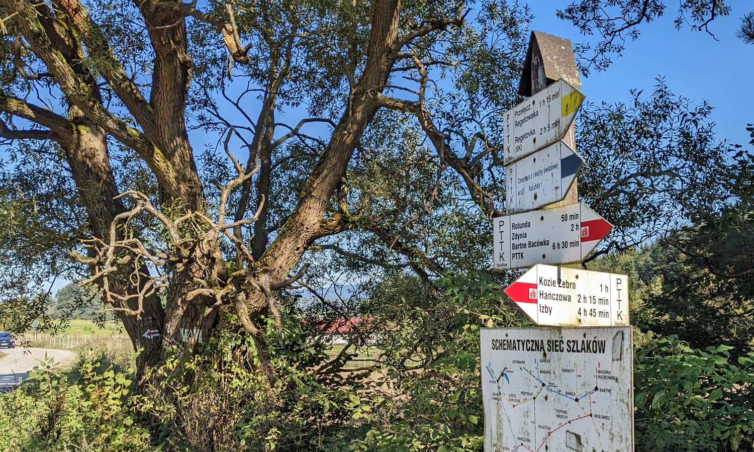
Other Trails to Kozie Żebro
At the top of Kozie Żebro, two trails intersect: the long-distance red Main Beskid Trail and the green trail leading from the PKP Stróże station, through Magura Małastowska to the Cigielka border pass and further to Busov - the highest peak of the Low Beskids at 1002 m above sea level.
So if you don't feel like climbing Kozie Żebro via the 'wall of tears' from Regietów, you can also choose another route:
- green trail from Wysowa-Zdrój through the Łopaciński Valley (4 km, 330 m elevation difference, 1.5 hours one way)
- green trail from Skwirtne (5 km, 460 m elevation difference, 2 hours one way)
- or our recommended easy and interesting red trail from Hańczowa:
Medium
From Hańczowa to Kozie Żebro - recommended red trail


More in the Region Beskid Niski (Mountain range of the Low Beskids (Beskid Niski))