From Hala Krupowa and Kucałowa Pass to Polica
Nearby: Zawojabeach_access Route in the shade
restaurant Restaurant or bar nearby
wc Toilet along the route
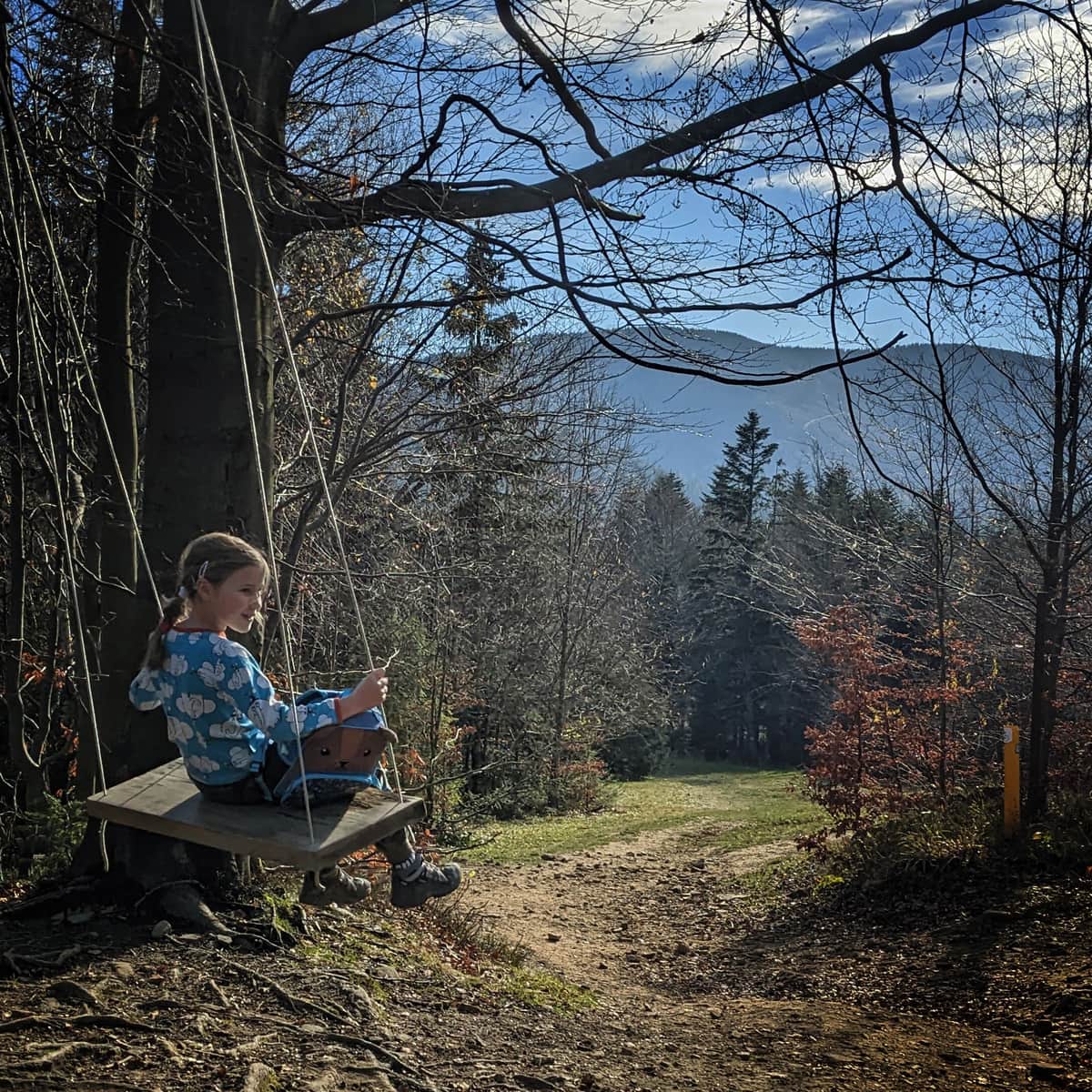
The red trail from the PTTK shelter on Hala Krupowa and from the Kucałowa Pass to Polica (1369 meters above sea level) is an easy forest route. Due to windfalls, it also offers scenic views in some places.
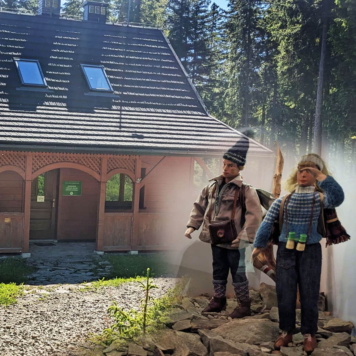
PTTK Shelter on Hala Krupowa
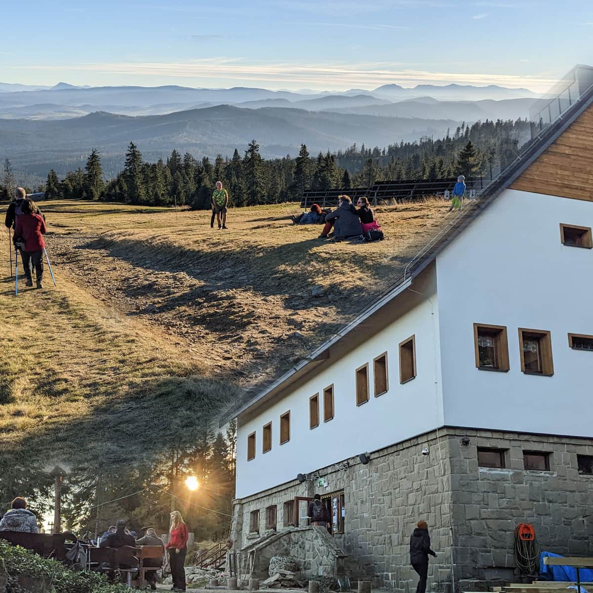
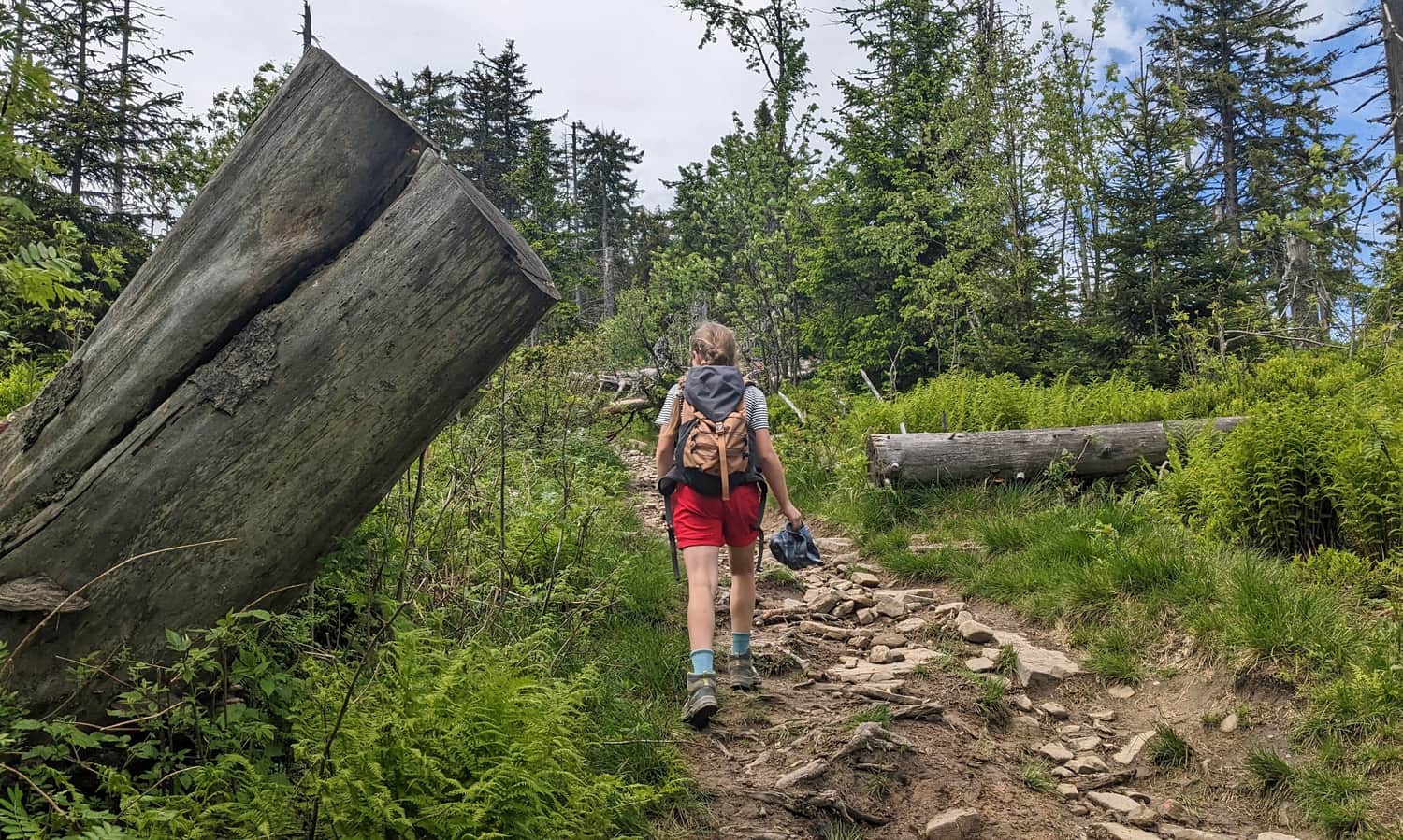
The PTTK shelter on Hala Krupowa, located near the Kucałowa Pass, is a perfect starting point to reach the highest peak of the Polica Range, Polica. How to get to the shelter and what to know about this place can be read here:
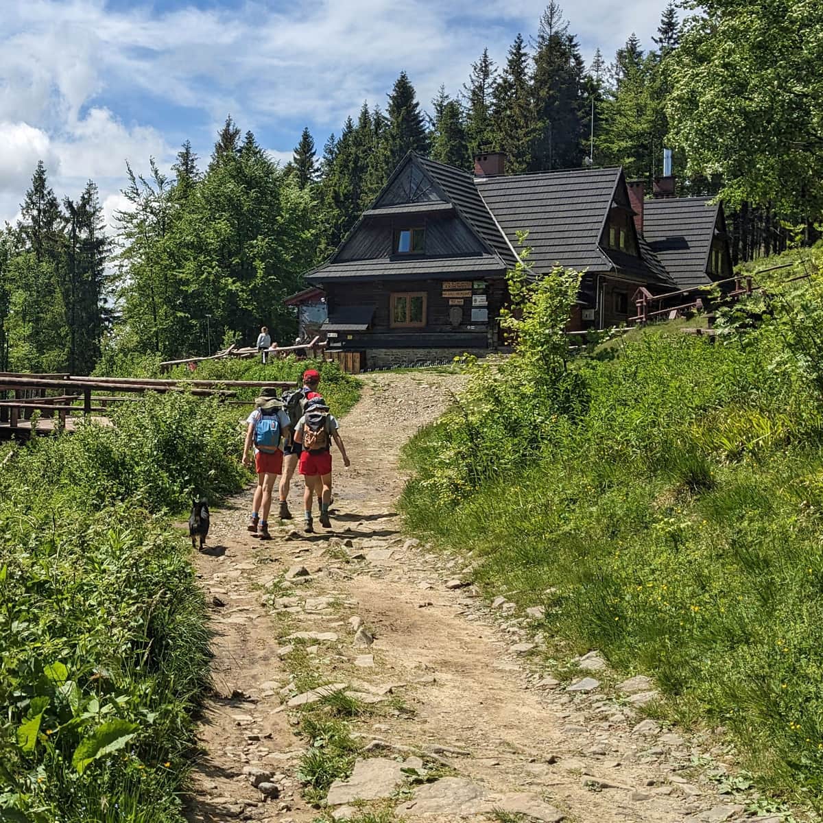
The PTTK Shelter on Hala Krupowa - trails, views, curiosities
The PTTK Shelter on Hala Krupowa is a picturesque and scenic place in the Żywiec Beskids, near the summit of Policy (1369 meters above sea level). It can be a destination for a mountain trip or a stop during a longer hike through the Polic Range. ...
Red Trail Hala Krupowa - Polica
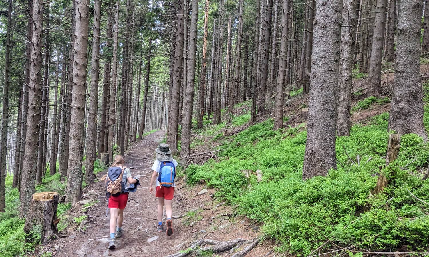
As you might have read in the article about the shelter, we start our journey to Polica not from "Hala Krupowa" but from Sidzinskie Pasionki. Whatever we call this place, we need to return to the Kucałowa Pass with the trail junction. From here, we head west following the red and green signs.
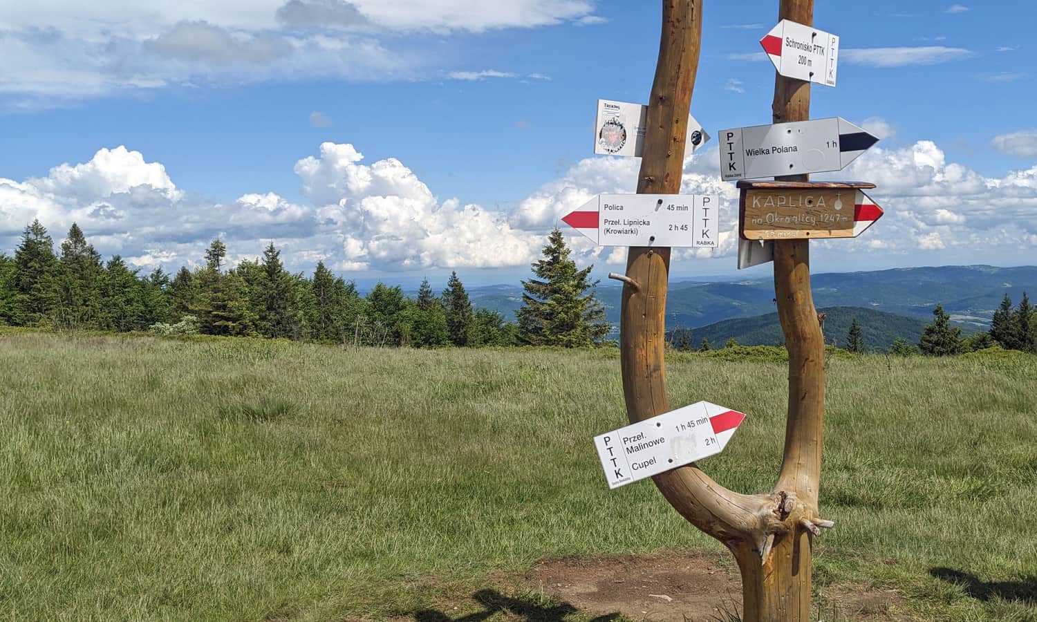
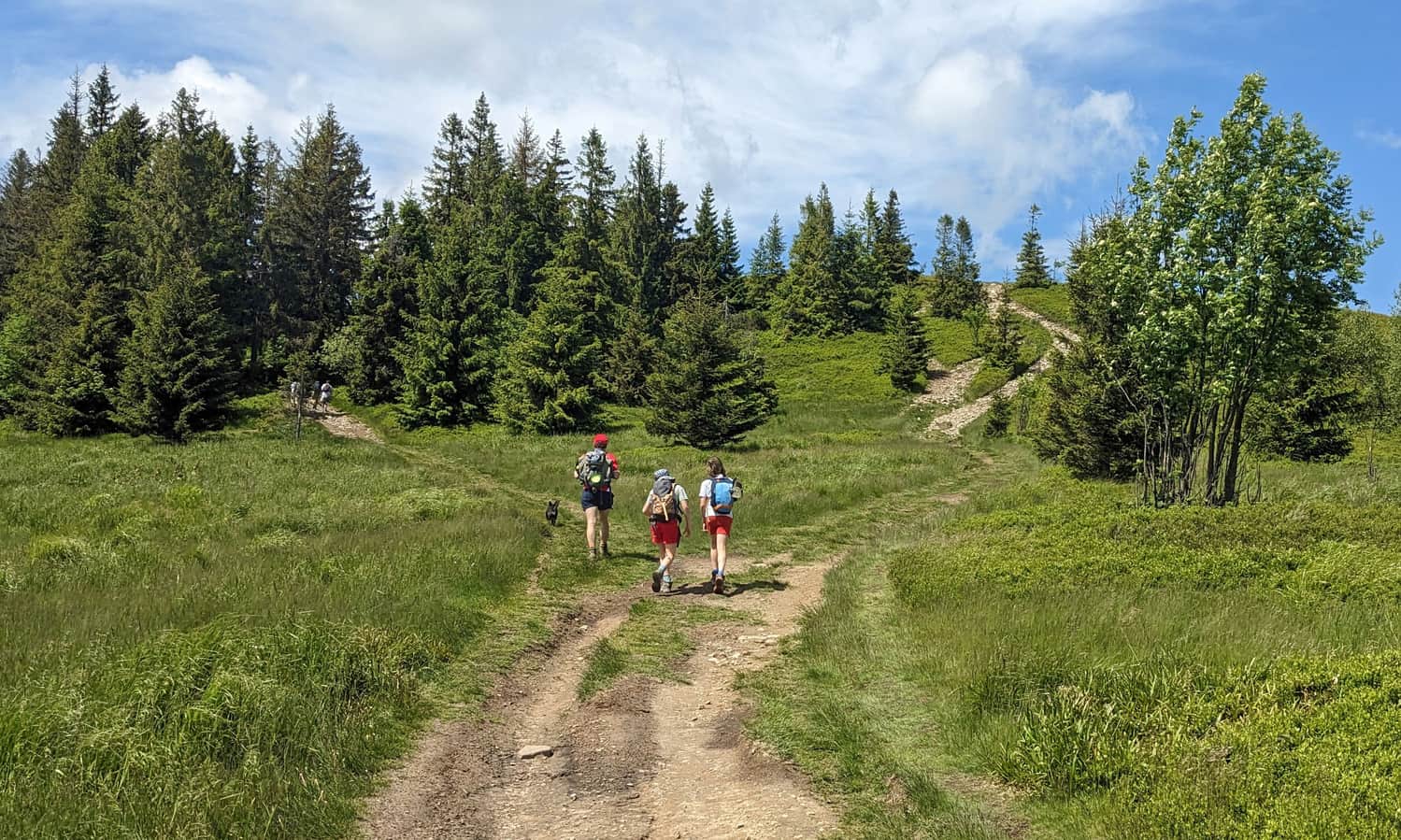
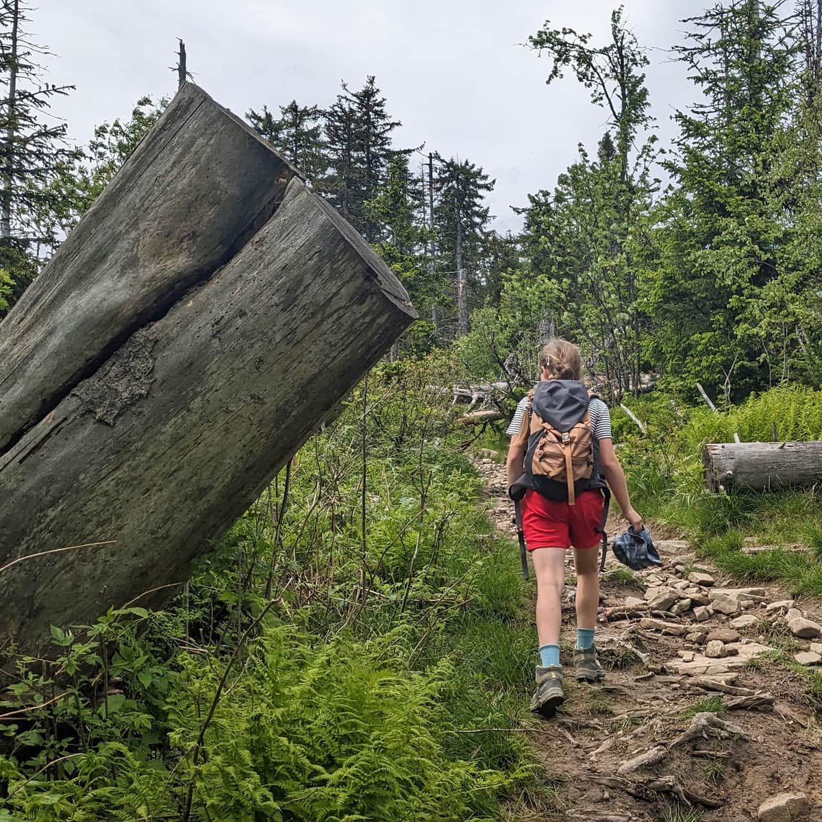
Initially, we traverse an easy forest path through the scenic meadow "Kocia Łapa" and the peak of Jasna Grapa. At the "Złota Grapa" crossroads, the green trail turns right, but we continue following the red signs.
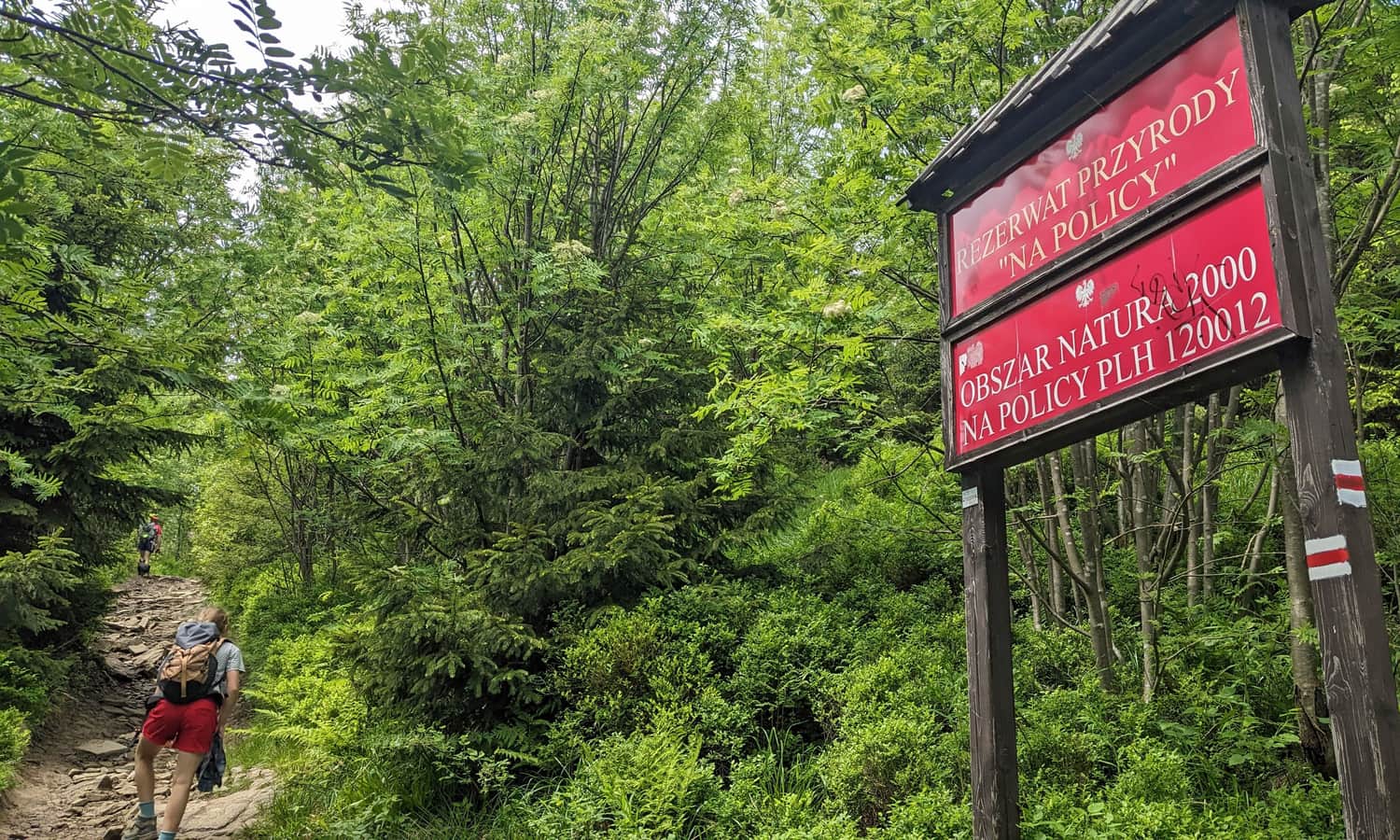
Na Policy Nature Reserve
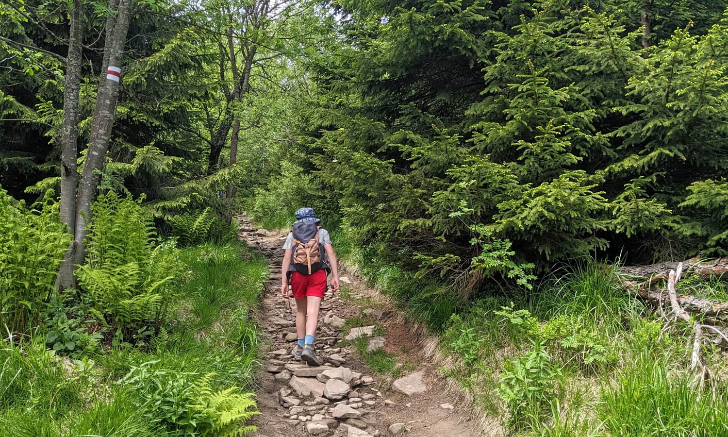
Slowly, our forest path climbs higher and becomes a bit steeper. Just before the summit, we enter the boundaries of the "Na Policy" Nature Reserve. It is actually one of two separate reserves on the Polica summit. We pass through the smaller one, located on the southwestern slopes. The other, about 4 times larger, occupies the northern part of the summit.
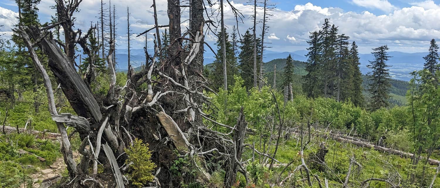
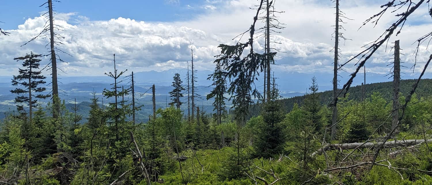
Windfalls and Views on Polica
Just before reaching the summit, we pass through slowly regrowing windfalls. The spruces on Polica were knocked down in the 1990s. Today, the area is slowly regrowing, but we can still see beautiful views to the south (Tatras) and to the east - Beskid Makowski, Wyspowy, Gorce, and even Pieniny! Be sure to stop for a moment and look back!
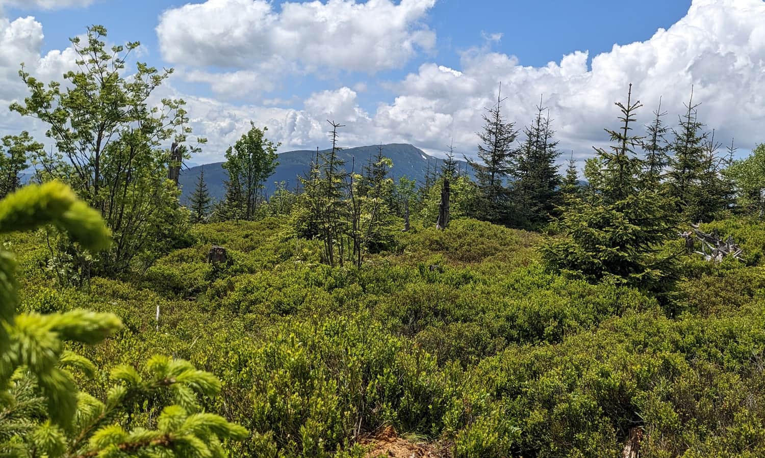
Polica Summit, 1369 meters above sea level
At the summit of Polica, there is a small clearing full of blueberries in season (the summit itself is outside the reserve boundaries - feel free to pick some!). The views are limited by regrowing trees, but you won't miss Babia Góra!
Polica... and What's Next?
From the summit of Polica, you can return to the shelter the same way (descent takes about 40 minutes), descend to the Zubrzycka Pass via the blue trail through Czyrniec (about 1 hour), head along the red trail towards the scenic meadow on Kiczorka (Cyl Hali Śmietanowej) - about 40 minutes, or even to the tower and restaurant on Mosorny Groń (1:10 hours).
An interesting option could be making a loop around the Polica summit, descending towards Mosorny Groń and returning to the PTTK shelter on Hala Krupowa first via the blue trail, then the scenic green trail traversing the northern slopes of Polica - highly recommended!