From Barcice to Makowica: snail in Wola Krogulecka and bridge over Życzanowski Stream
Nearby: Nowy Sączbeach_access Route in the shade
directions_car Access by car
train Access by train possible
The blue trail from Barcice to Makowica (948 meters above sea level) takes us to a notable, but unfortunately forested peak in the Beskid Sądecki mountains. However, there are several attractions along the way: a viewing platform called the 'snail' in Wola Krogulecka, the scenic Dzielnica peak, and the picturesque Deep Gorge of the Życzanowski Stream.

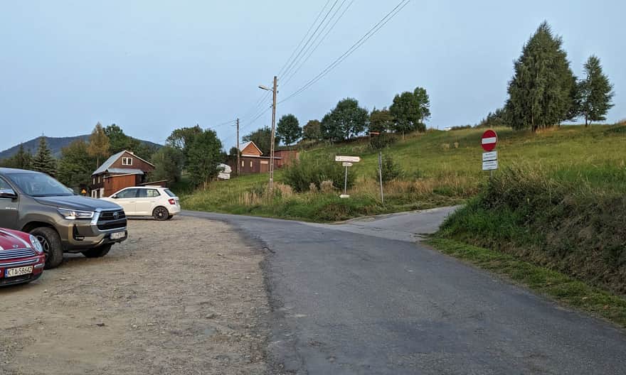
Start of the blue trail to Makowica in Barcice
The blue trail starts at the Barcice train station. If you have a car, you can shorten the trail by 4 km and drive to the parking lot in Wola Krogulecka.
Snail - viewing platform in Wola Krogulecka
After about 4 km of walking on village roads (all asphalt), the blue trail leads us to the parking lot at the 'snail' in Wola Krogulecka. The blue signs bypass both the viewing platform and the Dzielnica peak, but it's really worth taking a detour to these two places!
First, we walk on an asphalt road (about 400 meters) to the snail:
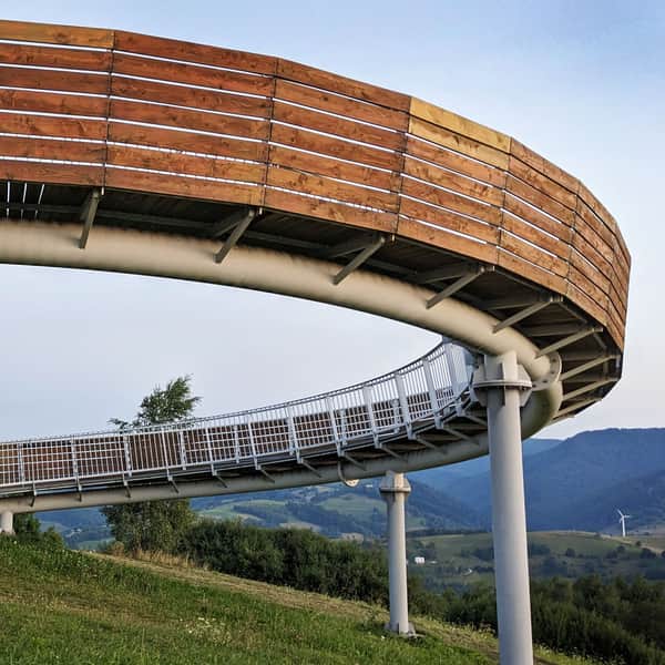
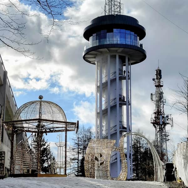
The Snail in Wola Krogulecka: An Extraordinary Viewing Point in the Beskid Sądecki
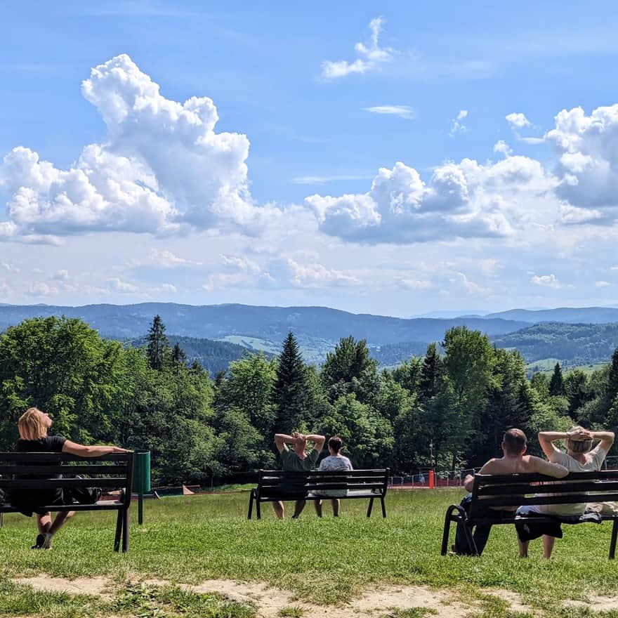
The Snail in Wola Krogulecka is one of the most interesting viewing platforms in the Beskid Mountains. A big plus is the good access, making it easy to reach this place. There are also additional amenities: a playground and a gazebo for grilling. ...

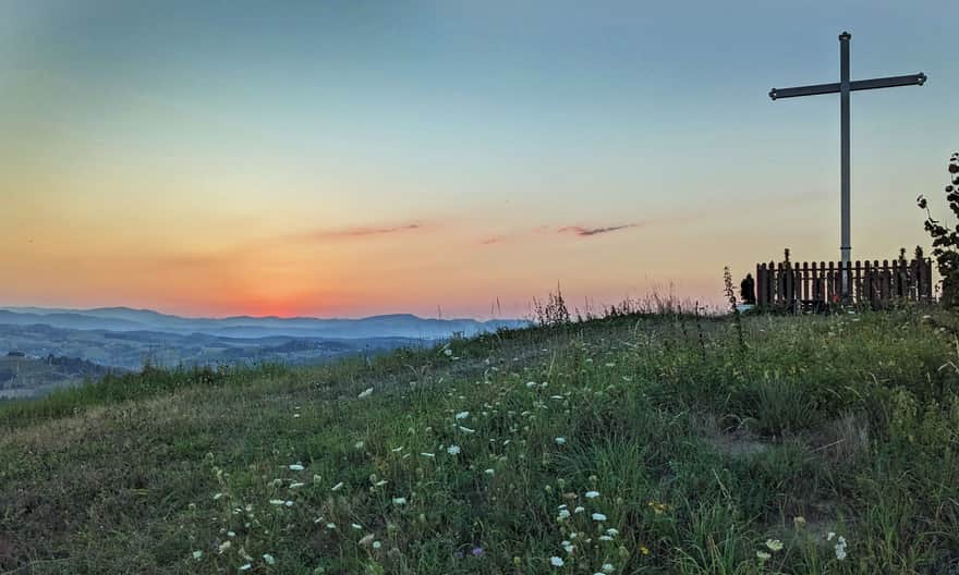
...and from there, continue on a dirt road to the peak with a cross. From the cross, we return to the blue trail via a well-visible dirt road.
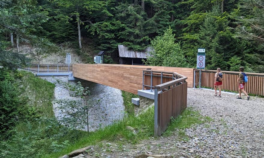
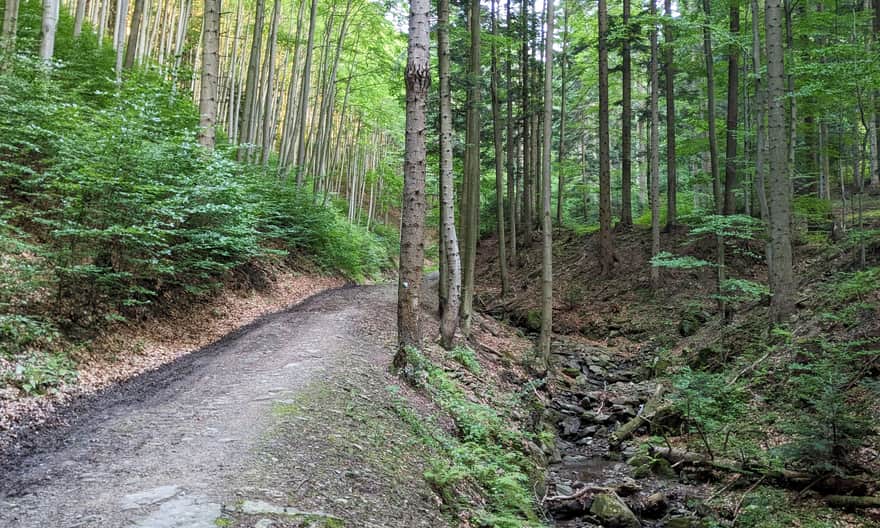
Blue trail: Wola Krogulecka - bridge over Życzanowski Stream
The next section of the trail is quite comfortable and wide dirt roads, which lead us through meadows and forests to a brand new bridge over the Życzanowski Stream, opened in 2024.

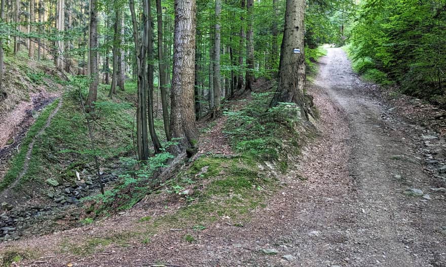
On the blue trail to the top of Makowica
The Życzanowski Stream, or more precisely its deep gorge, will accompany us on our further hike towards the top of Makowica. Some sections will be quite steep, but the road is always wide and comfortable.
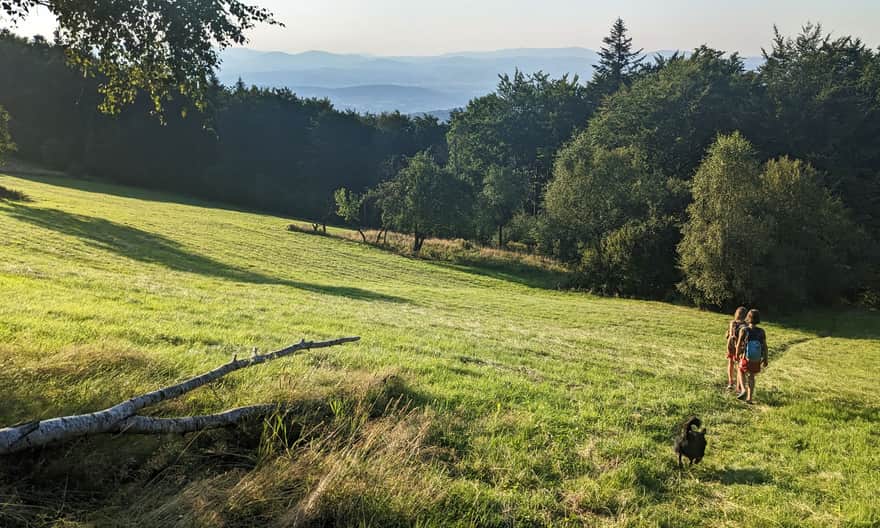
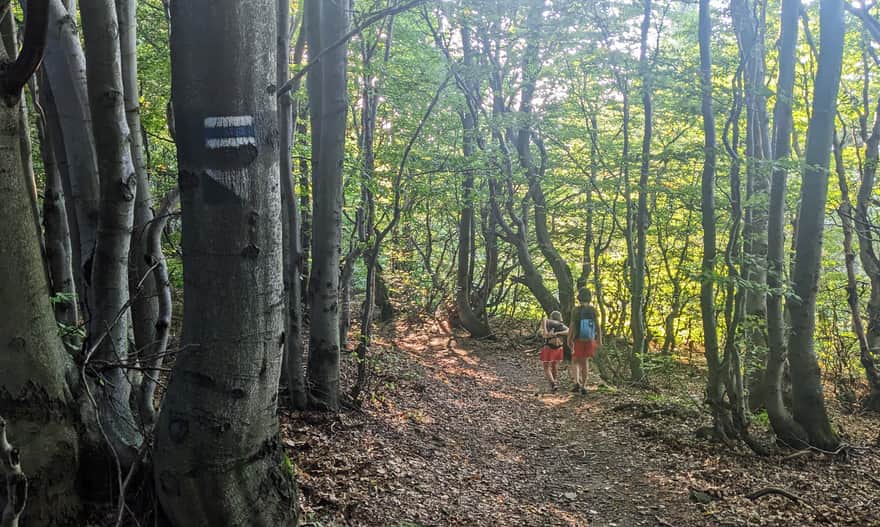
Before reaching the top, we will pass a beautiful scenic meadow. From here, it's only about 500 meters of walking through a beech forest to the peak:
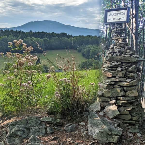
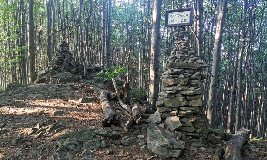
Makowica, 948 meters above sea level
At the top of Makowica, we find a forest, small rock outcrops, and stone cairns:
From Makowica to Chata Cyrla and Rytro
From Makowica, we can return to Barcice the same way: descending to the parking lot at the snail takes about 2 hours, and to the Barcice train station about 3 hours.
It's also worth considering descending to the private shelter Chata Cyrla (2 km) and then to Rytro (4 km). From the top of Makowica, we continue on the blue trail, then switch to the red trail towards Rytro. We reach Chata Cyrla in about 30 minutes. Here, we can enjoy homemade meals, a playground, rest, and use the restroom. The red trail from Chata Cyrla takes us to the Rytro train station in about 1 hour.
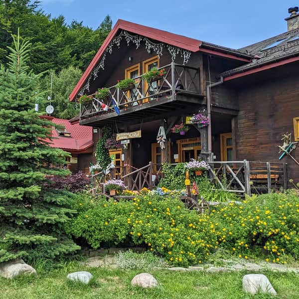
Mountain Hut Cyrla - Trails, Views, Attractions
Mountain Hut Cyrla near Rytro is located along the red trail: the main Beskid trail at the northwestern end of the Jaworzyna Krynicka Range. It offers a place to rest during hikes, delicious homemade meals, and accommodation options. ...