Blue Trail from Ponikwa to Groń JP II and Leskowiec
Town: Ponikiew Nearby: Wadowicebeach_access Route in the shade
restaurant Restaurant or bar nearby
directions_car Access by car
wc Toilet along the route
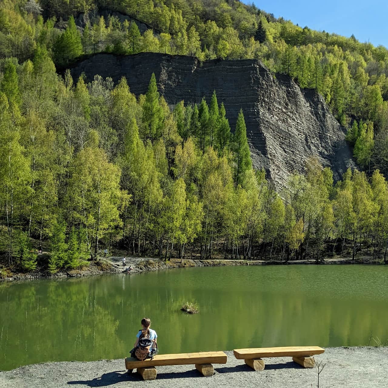
The Blue Trail from Ponikwa to Groń Jana Pawła II and Leskowiec is a short and not very steep route. It mostly leads through comfortable and wide forest paths (only occasionally encountering deep, rocky ravines). Attractions along the way include the Ponikiewka stream and a hidden bridge. In the forest, you will find several small chapels, as well as scenic views at the shelter and on the summit.
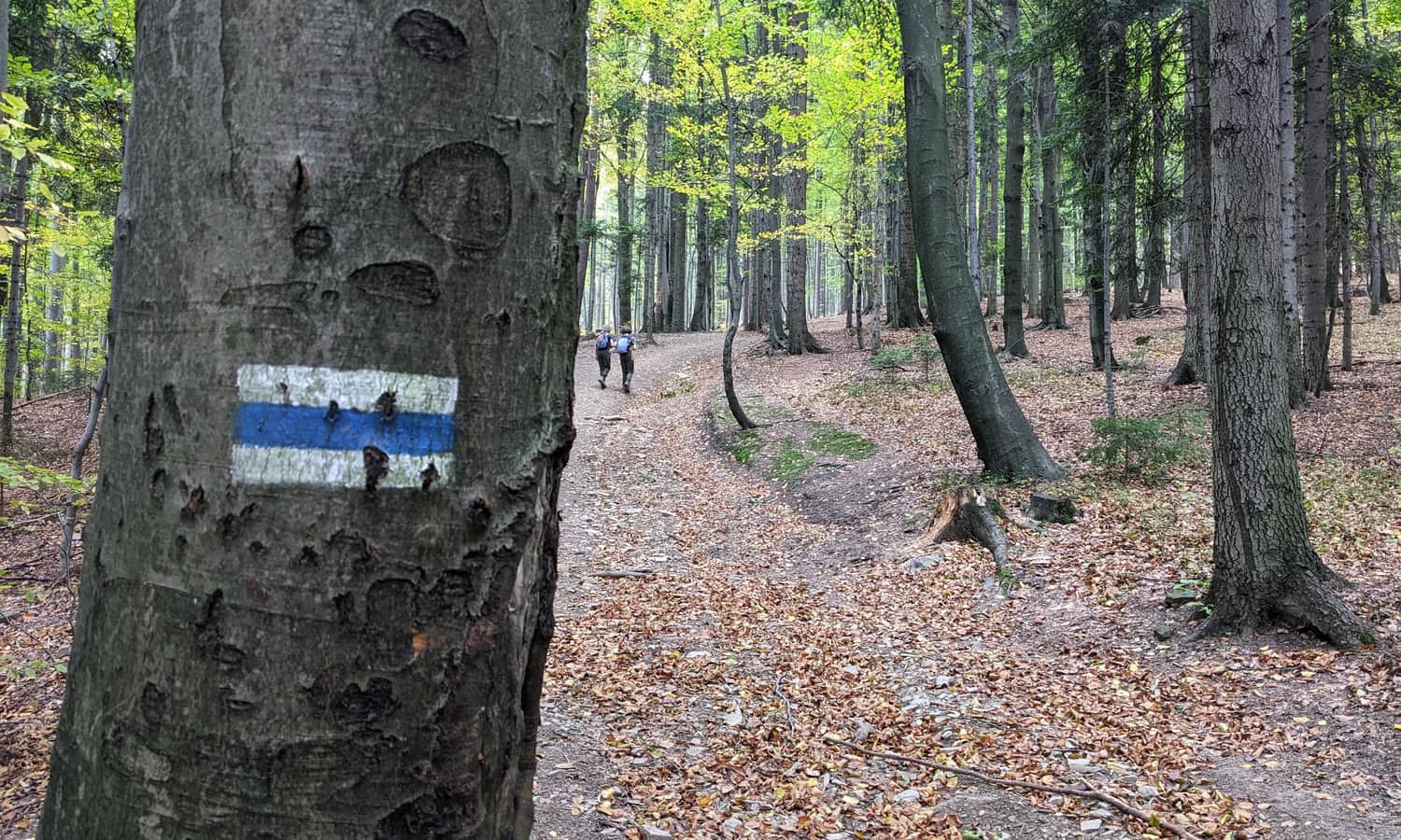
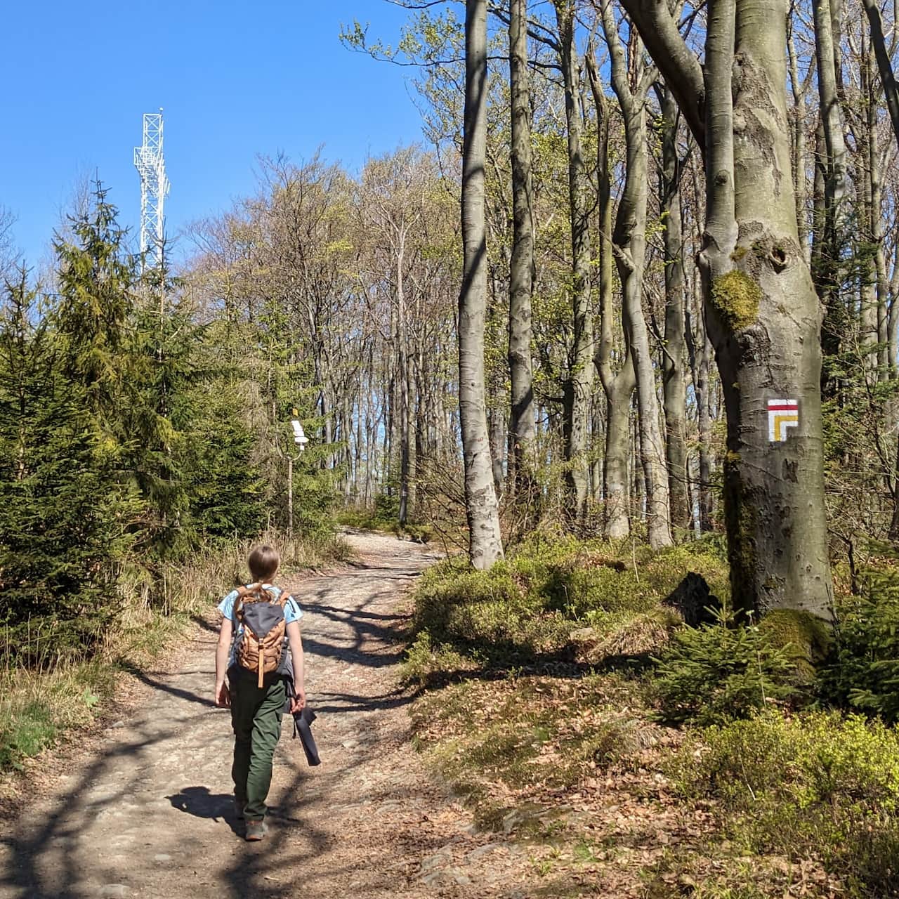
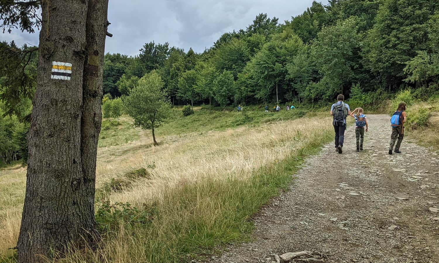
Beginning of the Blue Trail from Ponikwa to Leskowiec
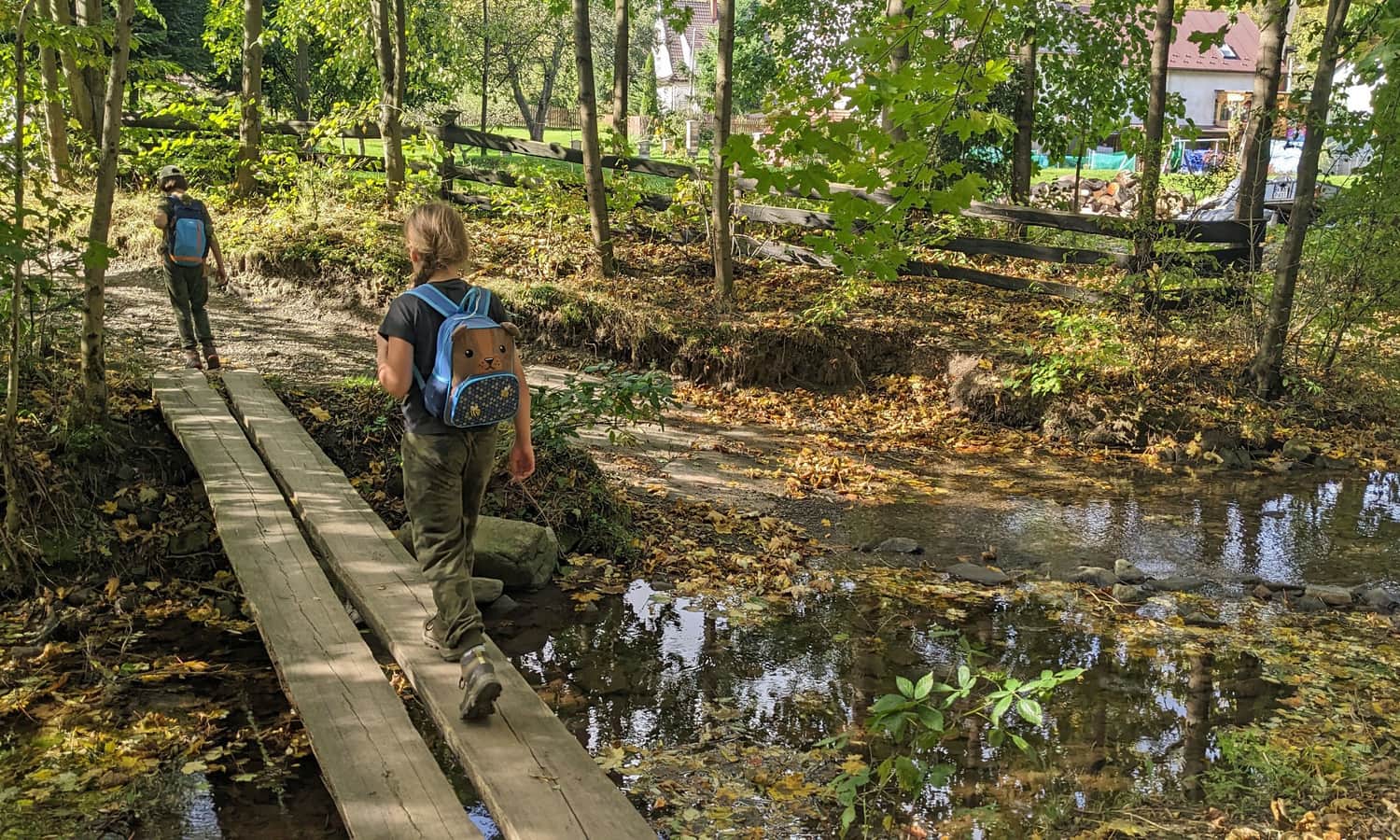
We start our hike at the last PKS bus stop in Ponikwa. There is also enough space to park your car. Initially, we walk along a village road, passing the last buildings. Soon, we cross the Ponikiewka stream – although at some point it may seem like it flows across our path, there is a hidden small bridge nearby!
Once we enter the forest, a climb awaits us, including steep ravines with loose stones at the bottom. Sometimes it is possible to bypass them by walking on the upper side, but not always...
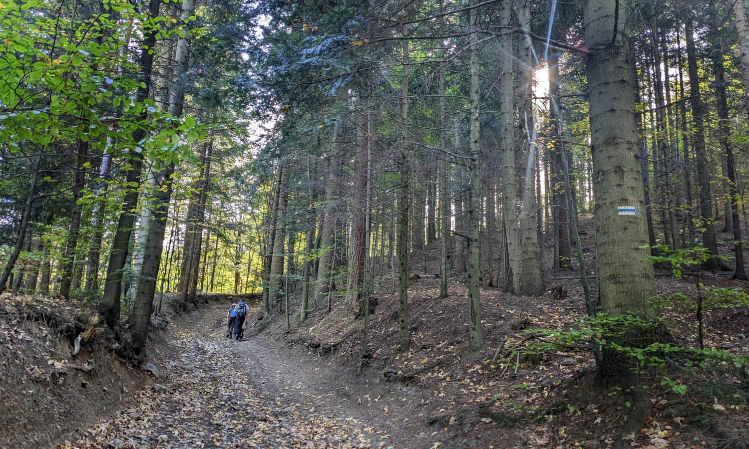
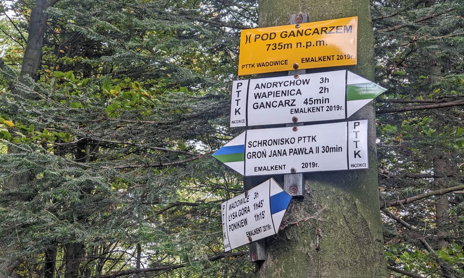
It will be slightly easier once we reach the Gancarz Pass:
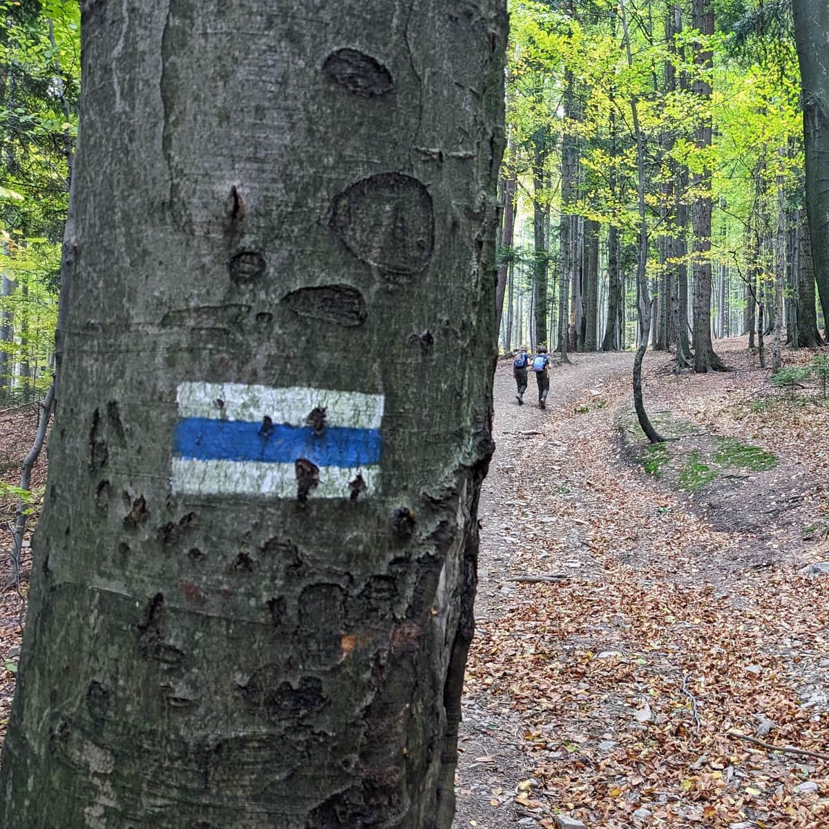
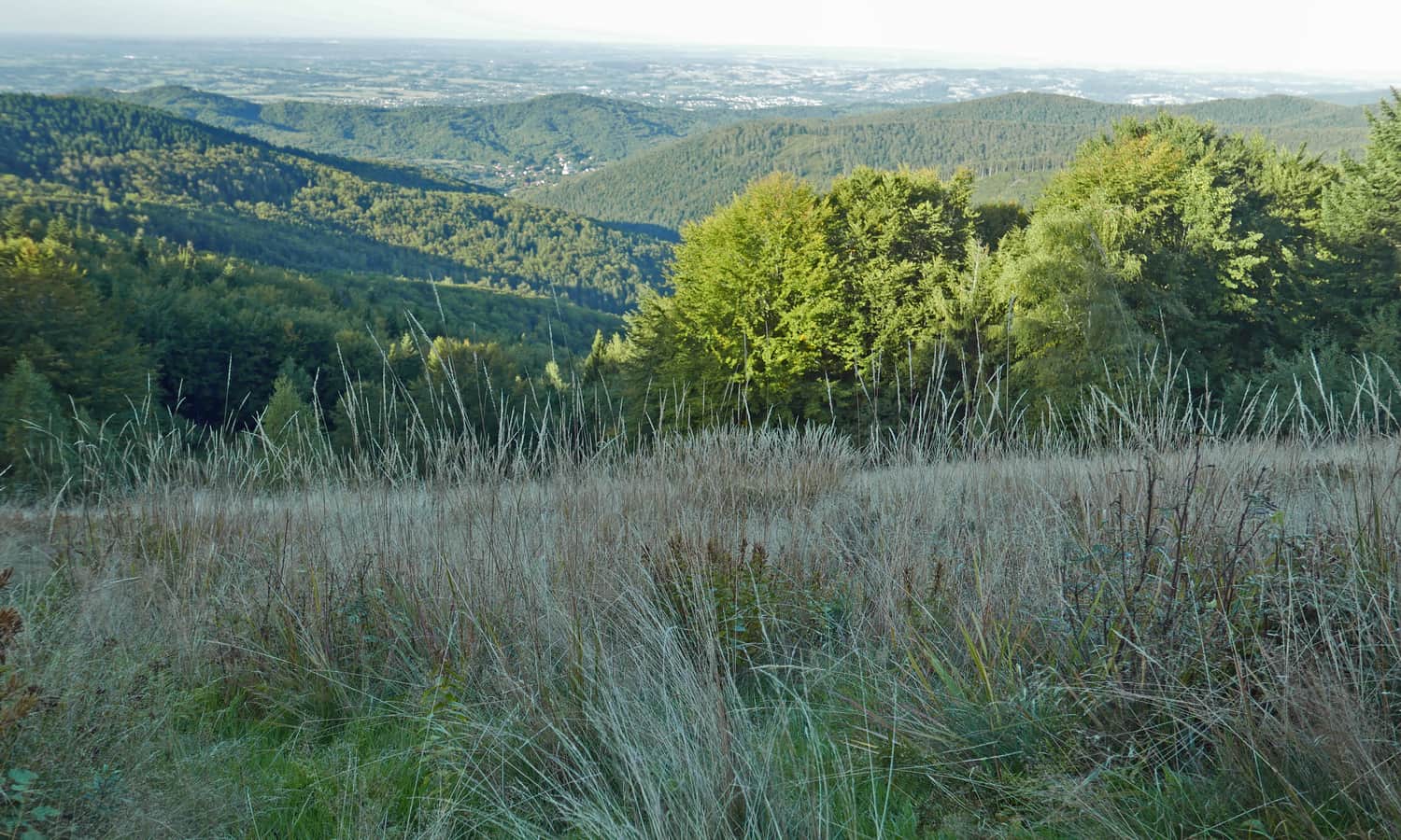
We will walk along the ridge for a while, but when approaching the shelter, another steep climb awaits us through a wide forest clearing, so if the weather is good – in full sun... However, we can bypass this last steep ascent by turning left just before it, following the signs with a white heart.

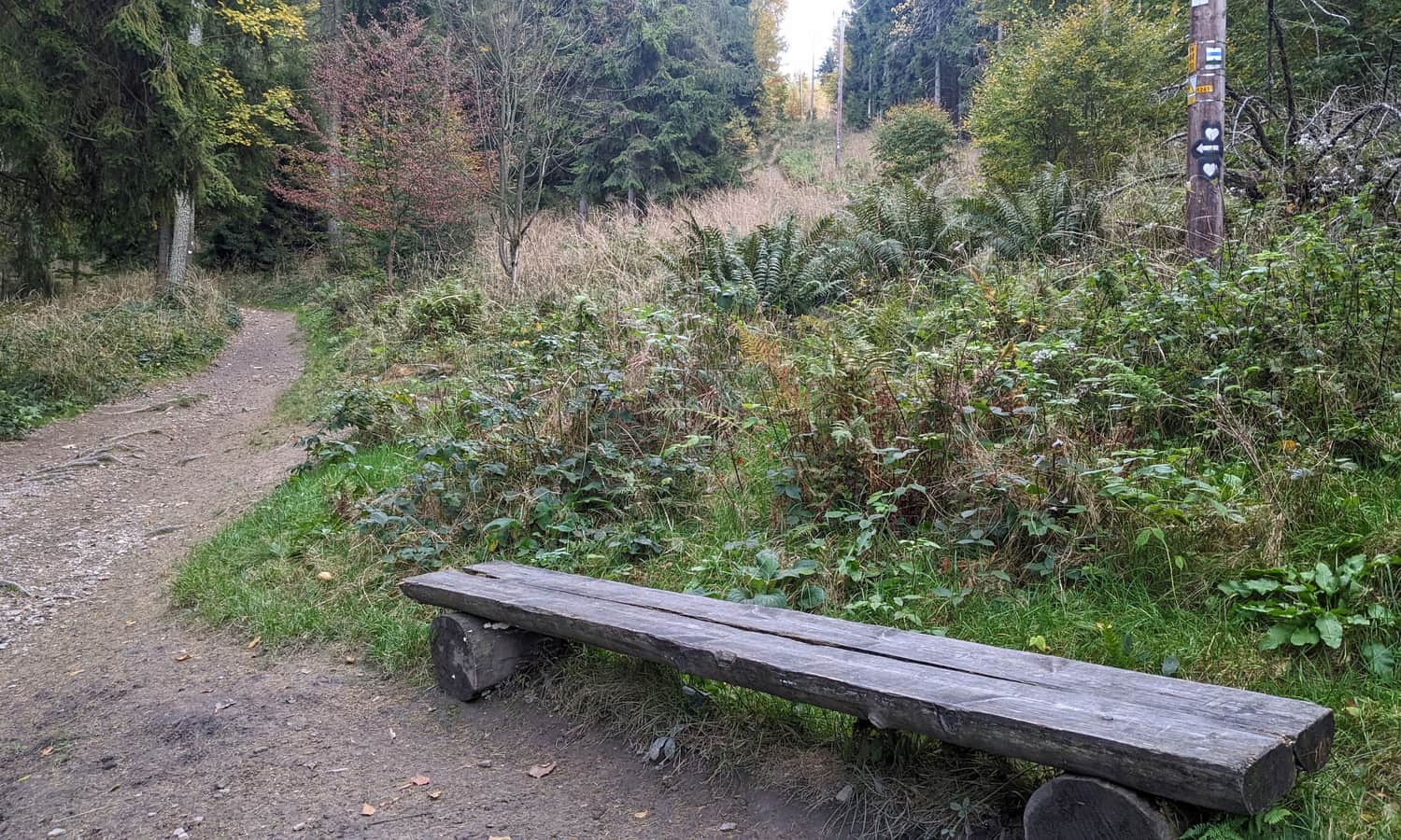
At this point, the "hearts" turn left, taking a longer and gentler path. The Blue and Green Trails climb straight up (and steeply) to the shelter.
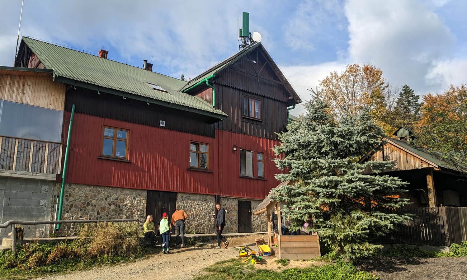
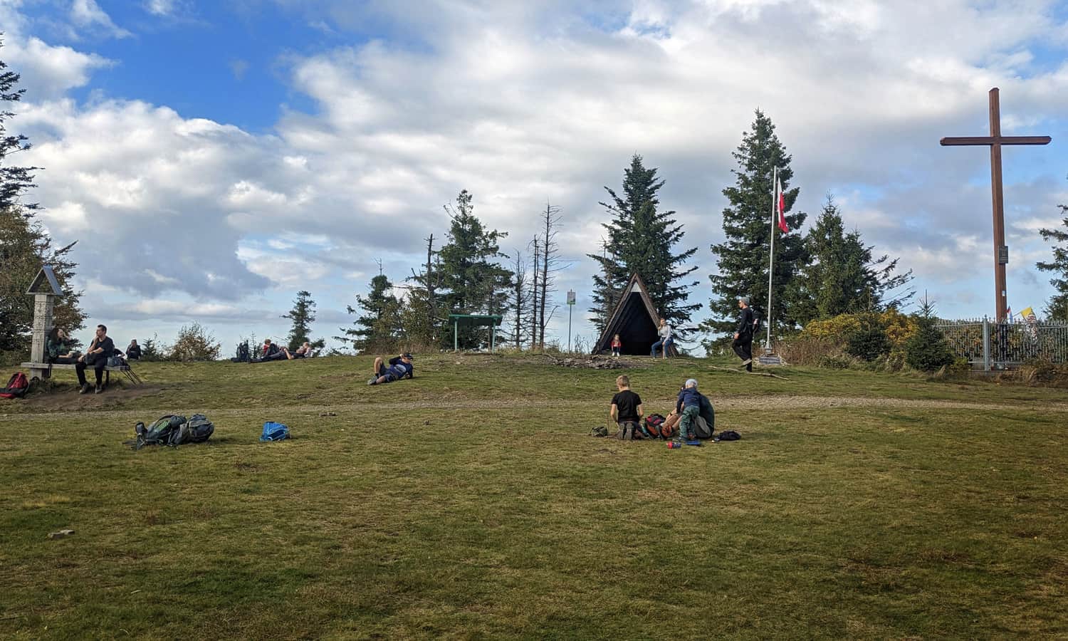
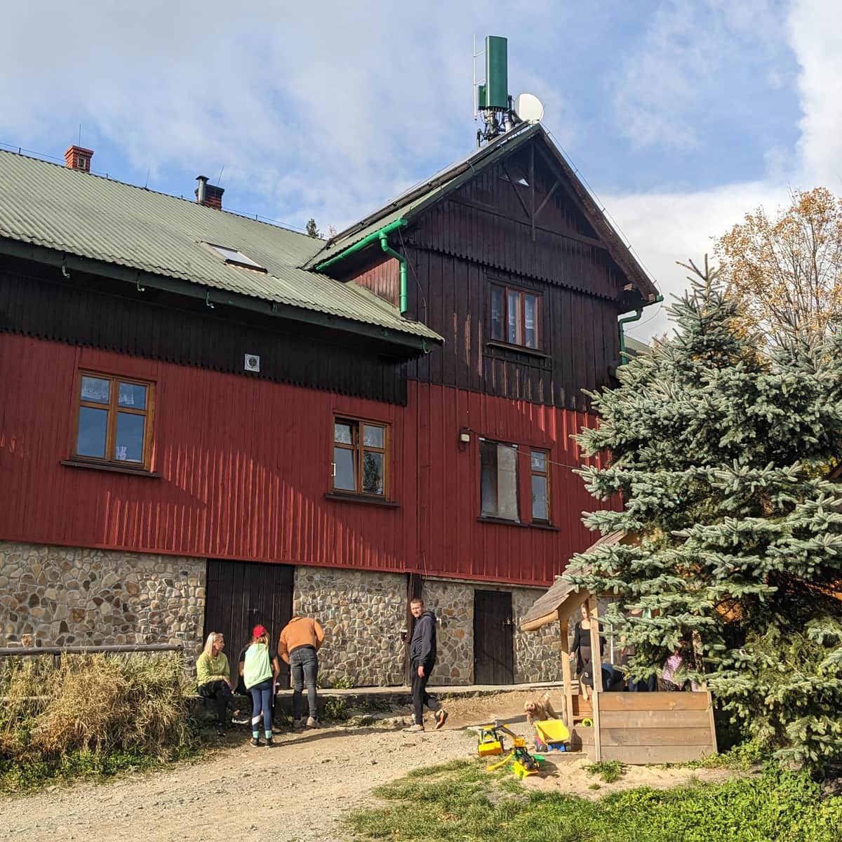
PTTK Leskowiec Shelter, Groń Jana Pawła II
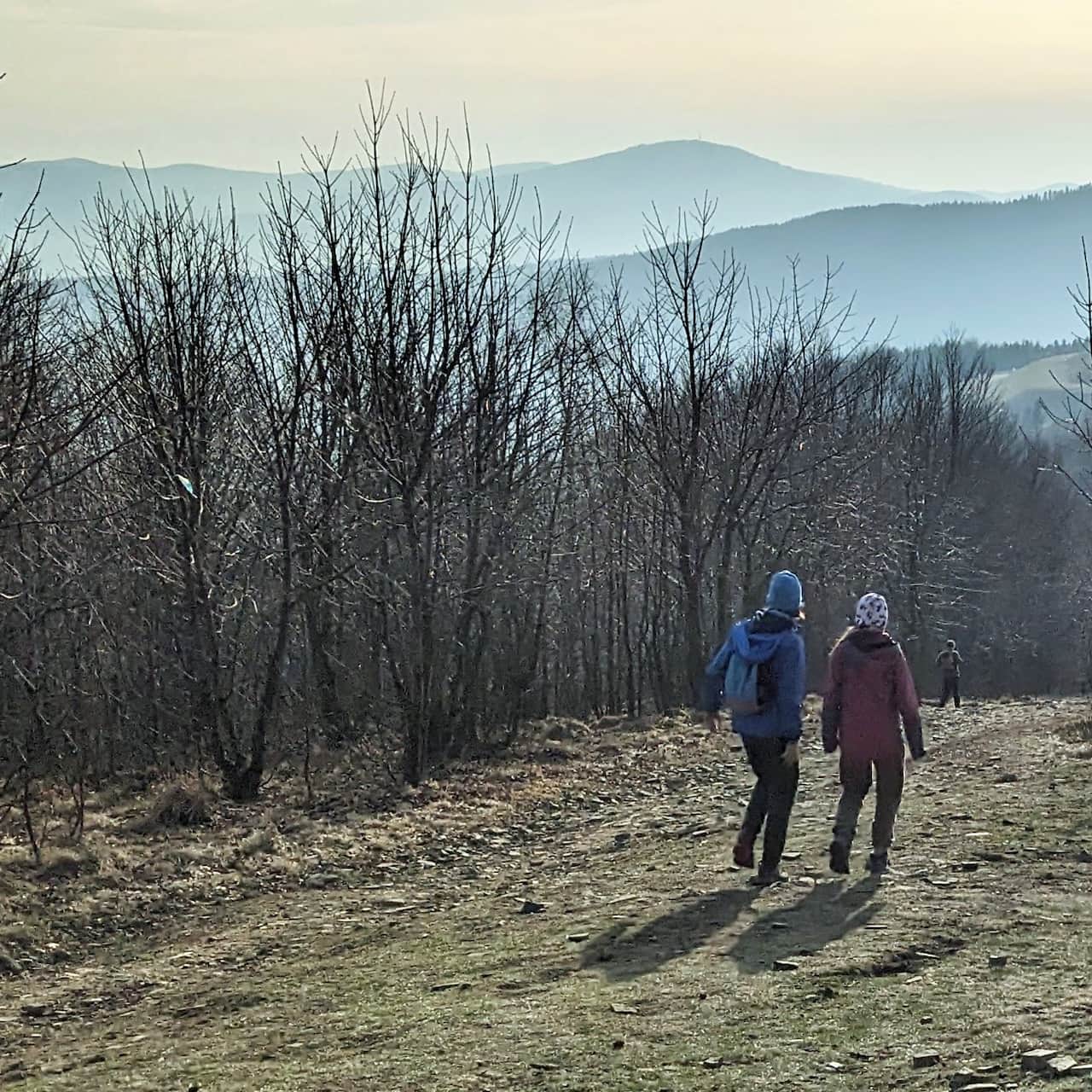
We arrive at the PTTK Leskowiec shelter on the summit of Groń Jana Pawła II (formerly Jaworzyna). Beautiful views await us here!
From the shelter, it's only a 15-minute walk and less than 1 km away from the summit of Leskowiec (with a 50 m elevation difference) – an easy and pleasant path!
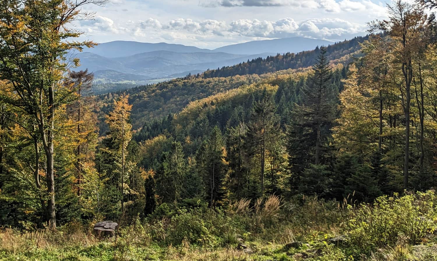
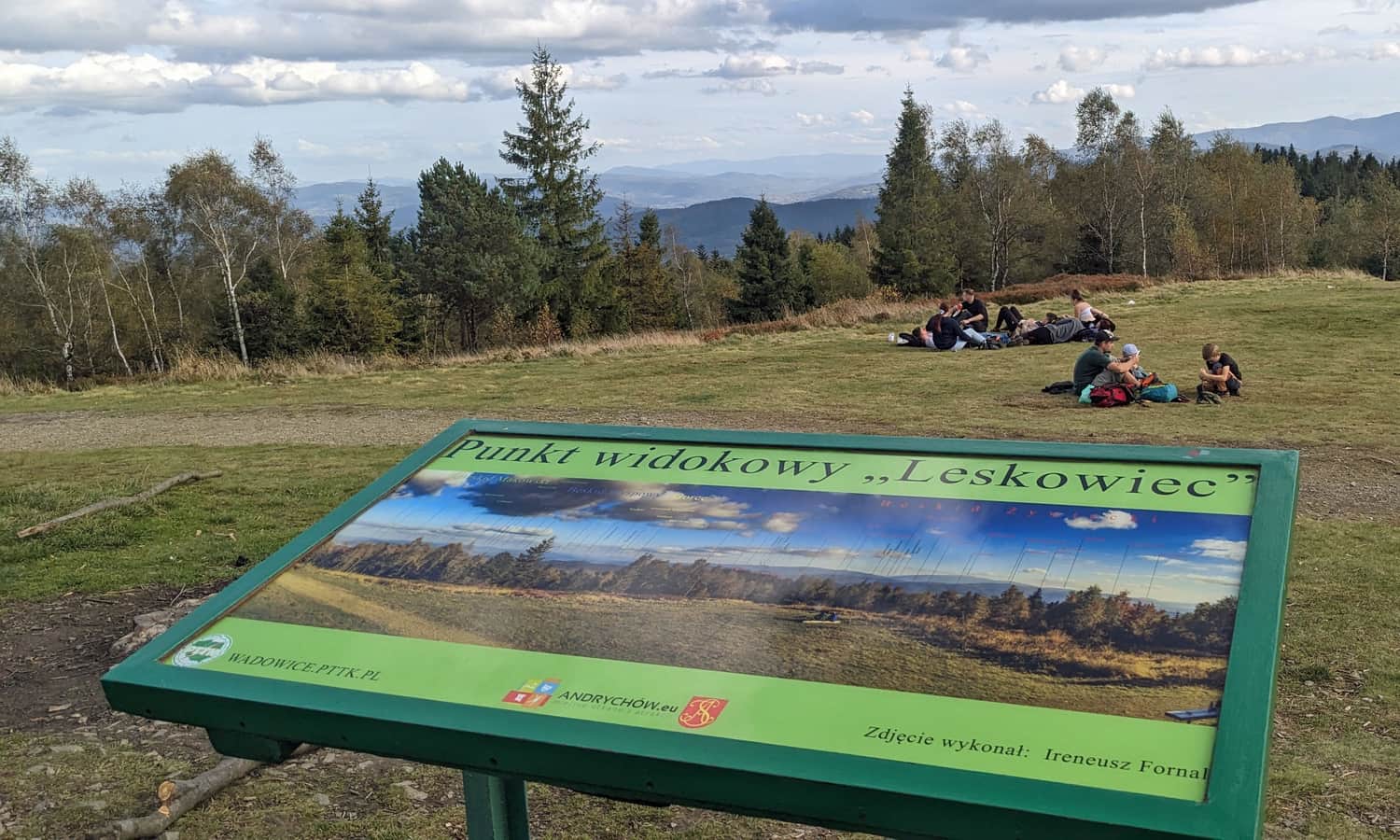
Leskowiec, 922 m above sea level – summit and views
A beautiful panorama awaits us at the summit of Leskowiec. Babia Góra dominates the view, with the Policy Range to the left and the Tatra Mountains in between. On Leskowiec, you will find a covered shelter, a board with labeled peaks, and a beautiful expansive meadow.
P.S. You can find more information about the shelter, Leskowiec, and paths to the summit here:
Leskowiec - all trails and attractions
Leskowiec is one of the most popular peaks in the Beskid Mały Mountains. On the summit (992 meters above sea level), beautiful views await us, and just below: a friendly PTTK shelter. ...
To return to Ponikwa, you can take the same route or, for a change, take the yellow trail to the Czartak junction (approximately 2 hours and 15 minutes). From there, it is about 5 km on an asphalt road to the starting point, the bus stop in Ponikwa – you can catch a bus or hitchhike.

Publish Date:
Last Updated:
More in the Region Beskid Mały (Beskid Mały)