Viewpoint in Wisła: Krzakoska Rock on Kobyla
Town: Wisła Dziechcinka
check_circle Slopes
check_circle Mainly in the shade
check_circle Accessible by train
Krzakoska Rock on Kobyla in Wisła is a beautiful and quite easily accessible viewpoint. Above the rock outcrop, there is a viewpoint with a 'lovers' bench'. The rock, about 15 meters high and 60 meters wide, is also one of the most popular climbing walls in the Silesian Beskids.
Note: Due to the lack of railings, it's important to be careful and pay special attention to the safety of young children!

Krzakoska Rock on Kobyla - viewpoint over Wisła
Krzakoska Rock in the Kobyla district is not only an interesting rock outcrop but also a picturesque viewpoint. A marked path (blue trail from Wisła Dziechcinki) leads to the top of the rock.
To get closer to the rock from below, you need to leave the trail and climb through the forest towards the rock, as the marked path passes several meters below the base of the outcrop.

What can we see from Krzakoska Rock?
From the viewpoint on Krzakoska Rock, you can see to the north and northeast.
You will see the Równica and Orłowa ranges rising above the Wisła valley. With better visibility, you can also spot the Błatnia, Klimczok, and Szyndzielnia group, as well as Skrzyczne and Malinowska Rock to the northeast.

From the more forested eastern side, you can see Smrekowiec with the 'Nowa Osada' ski lift on Grapa, behind it the Cieńków range with the ski jump in Wisła Malinka, and (in better conditions) - Barania Góra.

How to get to Krzakoska Rock?
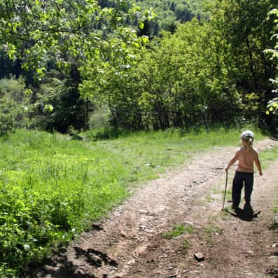
Next to the rock and viewpoint, there is a blue tourist trail starting at the Wisła Dziechcinka train station. You can reach it in about 1 hour and 15 minutes (3 km, 280 meters elevation difference) via a wide forest path without significant elevation changes or steep sections.

You can also reach Krzakoska Rock via an asphalt road leading to the Kobyla district from Spokojna Street. From the PKS Wisła Głębce Turystyczna bus stop on Kopydło Street, it takes about 1 hour (2.5 km, about 250 meters elevation difference).
WARNING! It's better not to go there by car. There is no designated parking near the rock, and the surrounding area belongs to private owners who will not be happy with cars blocking their driveways.
PS. From Krzakoska Rock, it's worth continuing on the blue trail, then the yellow trail to the Stożek Mały district and the scenic ridge between Stożek Wielki, Cieślar, Soszów, and Czantoria. You can reach the ridge red trail from Krzakoska Rock in about 1 hour (about 4 km, 200 meters elevation difference).
Medium
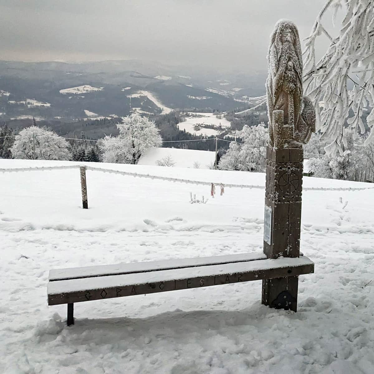
Winter Walk in the Silesian Beskids: Stożek - Cieślar - Soszów


More in the Region Beskidy (Beskidy)