Klimczok – mountain trails, panoramic views, and highlights.
Town: Bielsko-Biała
check_circle Slopes
check_circle Mainly in the sun
check_circle Restaurant or bar nearby
check_circle Toilet available
Klimczok (1,117 m a.s.l. / 3,665 ft) is a scenic peak in the Silesian Beskids (southern Poland). Many hiking trails lead here with different difficulty levels, and there is also a cozy PTTK mountain hut. Which trail to choose, what not to miss, and what else is useful to know about Klimczok?
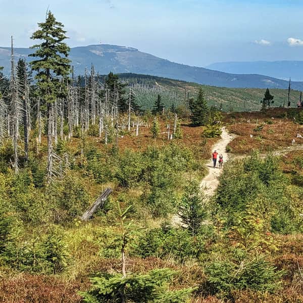
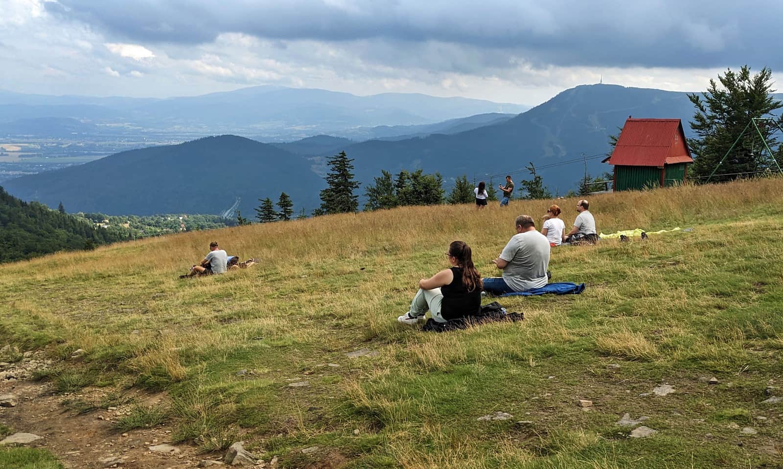
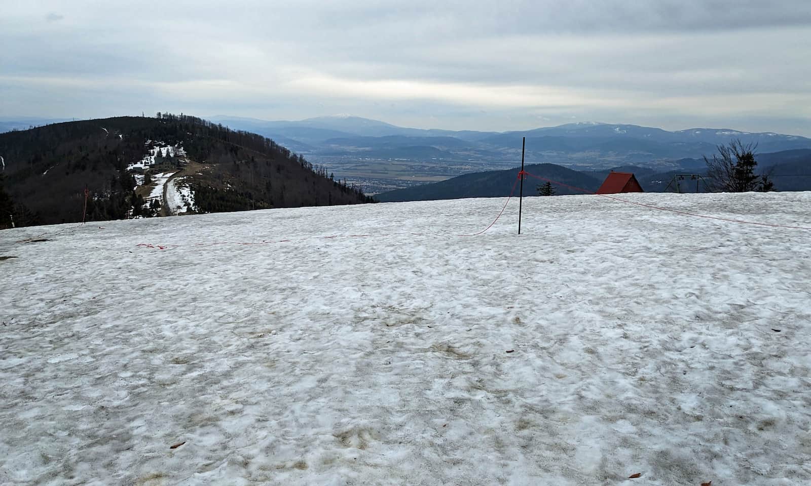
Klimczok, 1,117 m a.s.l. - what can you see from the top?
A broad meadow on the summit of Klimczok offers beautiful views: from the neighboring ranges of the Silesian Beskids (Skrzyczne clearly visible) and the Little Beskids, to the Soła River valley, the peaks of the Żywiec Beskids (including Babia Góra and Pilsko), and even the Tatra Mountains on very clear days.
Klimczok - attractions and fun facts
Where does the name Klimczok come from, and what is good to know about this peak? First, the summit of Klimczok is the highest point of the local ridge (the Szyndzielnia–Klimczok–Błatnia group) and at the same time the highest point of the city of Bielsko-Biała.
Where does the name "Klimczok" come from?
Klimczok is a common family name in this area (also spelled Klimczak). Three legendary highland bandits had this name: Mateusz, Jan, and Wojciech. The most famous, Mateusz Klimczok, kept a hideout near this summit, then called Skałka or Goryczna Skałka, and he hid stolen treasures in the local caves. When he fell in love with Klementyna Sułkowska, the daughter of the lords of the castle in Bielsko (today Bielsko-Biała), he built a stone manor for her on the slopes of Magura. When the girl missed her family, he brought her to the town, where he was recognized, captured, and executed.
...and the bandits' treasures? Maybe they are still hidden in the caves on the slopes of Klimczok. The legends and the cave names — Ali Baba Cave, Multi-level Cave, and Szczelina w Klimczoku — may tempt some people to search, but please note: the caves are off the marked trails and, due to landslide risk, are closed to tourist access! They may be explored only by experienced cavers.
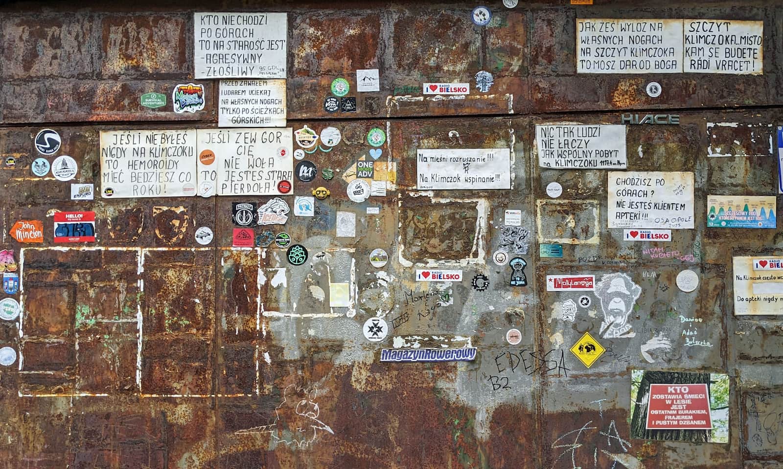
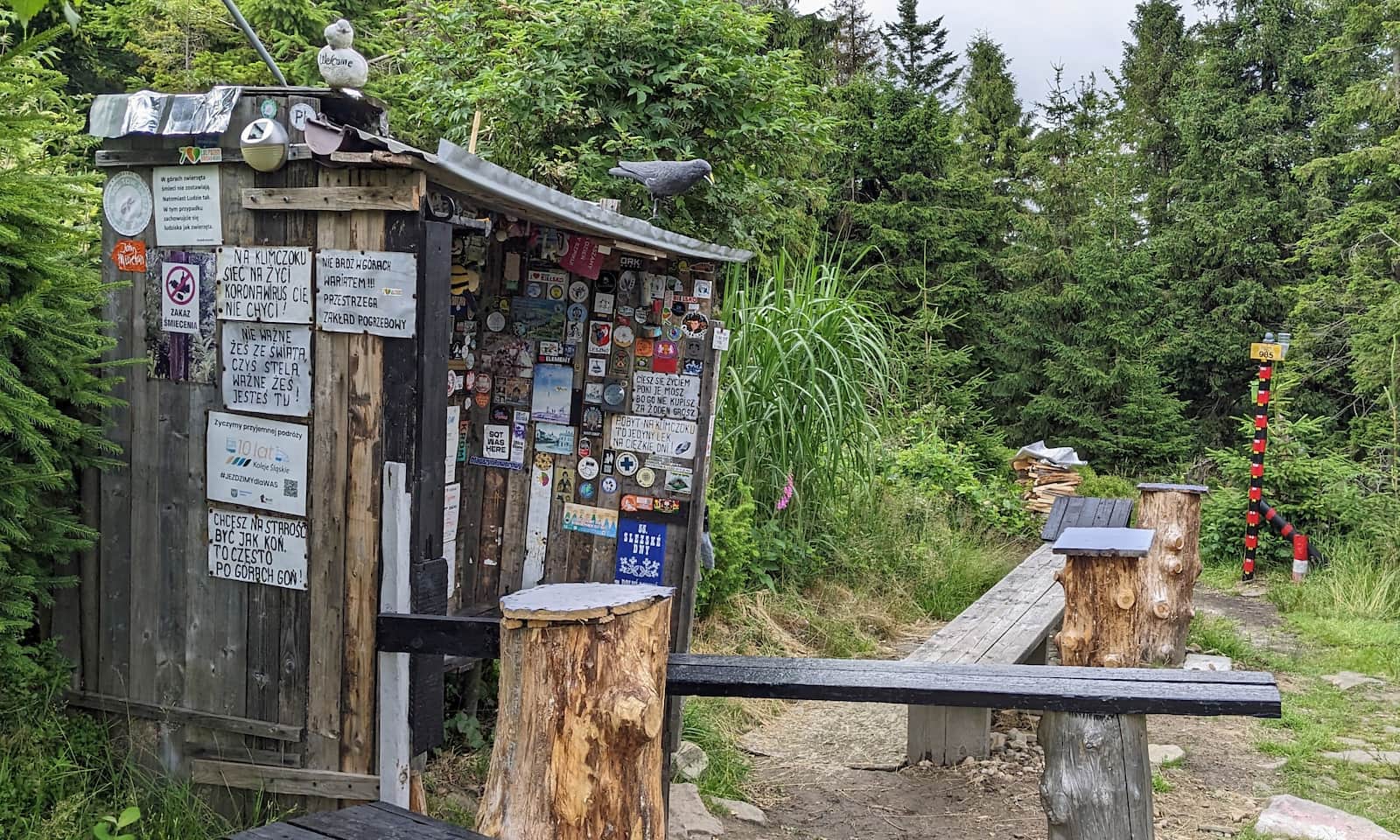
Playful trail art on Klimczok
One of Klimczok's curiosities is a lot of playful tourist slogans and notes. It is hard not to smile when you see them :)
Garden of Stones of the World on Klimczok
You will find even more "slogans" and short rhymes in another unusual spot on Klimczok — the so-called "Garden of Stones from around the world." Its creator and caretaker is Mr. Tadeusz Budny, a local mountain guide.
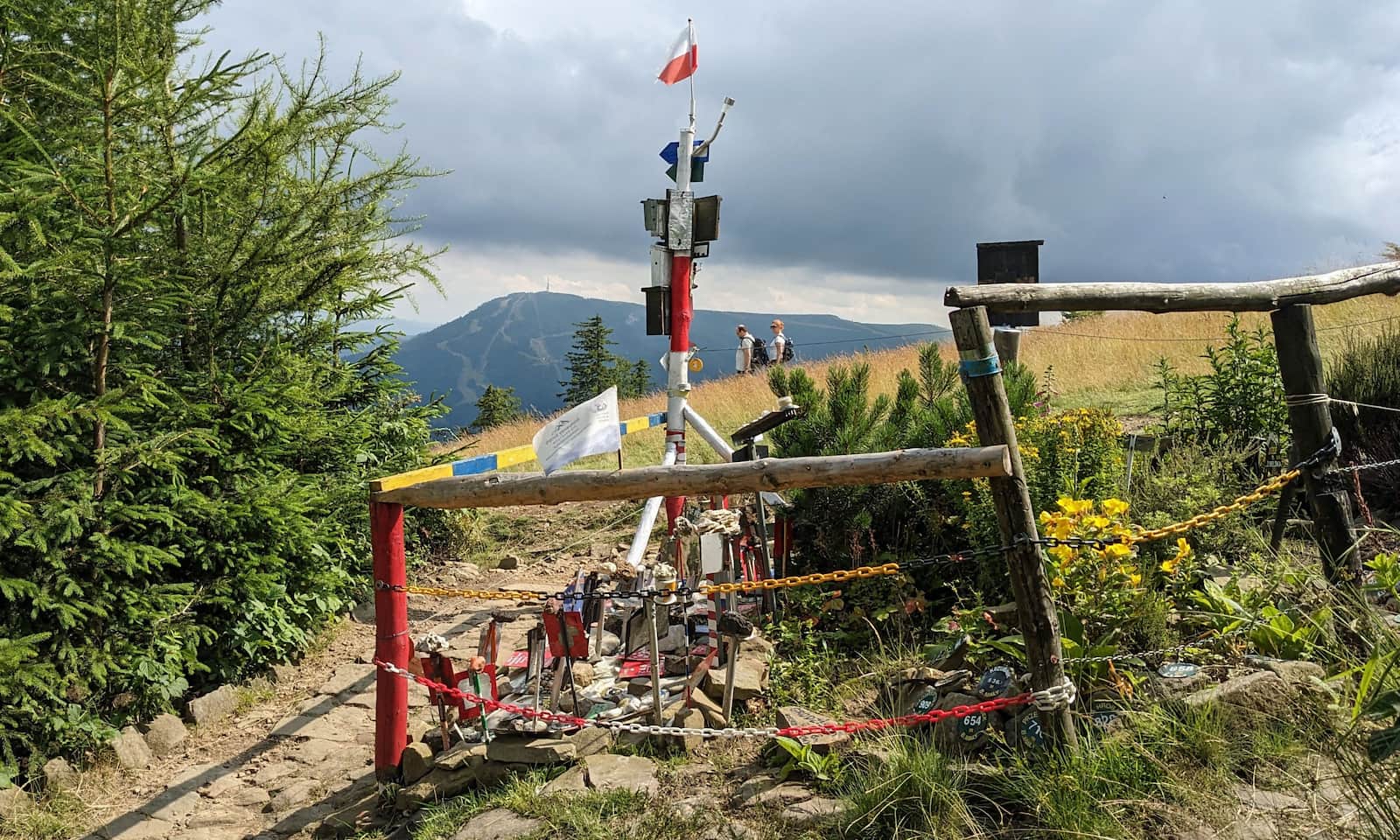
Besides the fenced corners with labeled stones, there is also a small shelter where you can rest and stamp a souvenir seal that says "Klimczok".
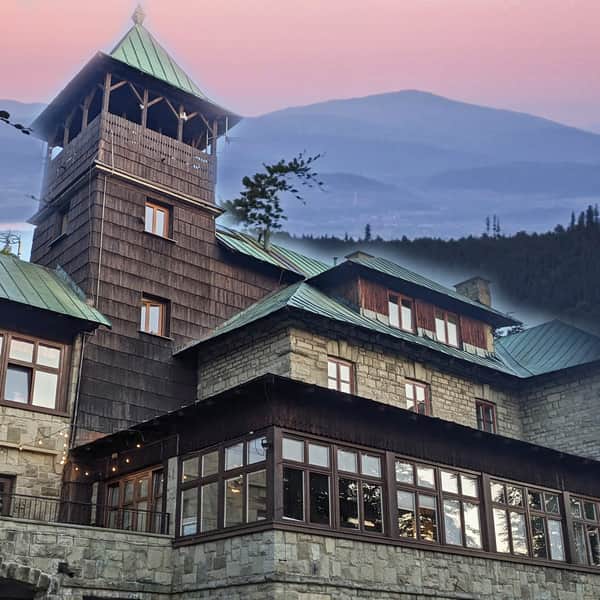
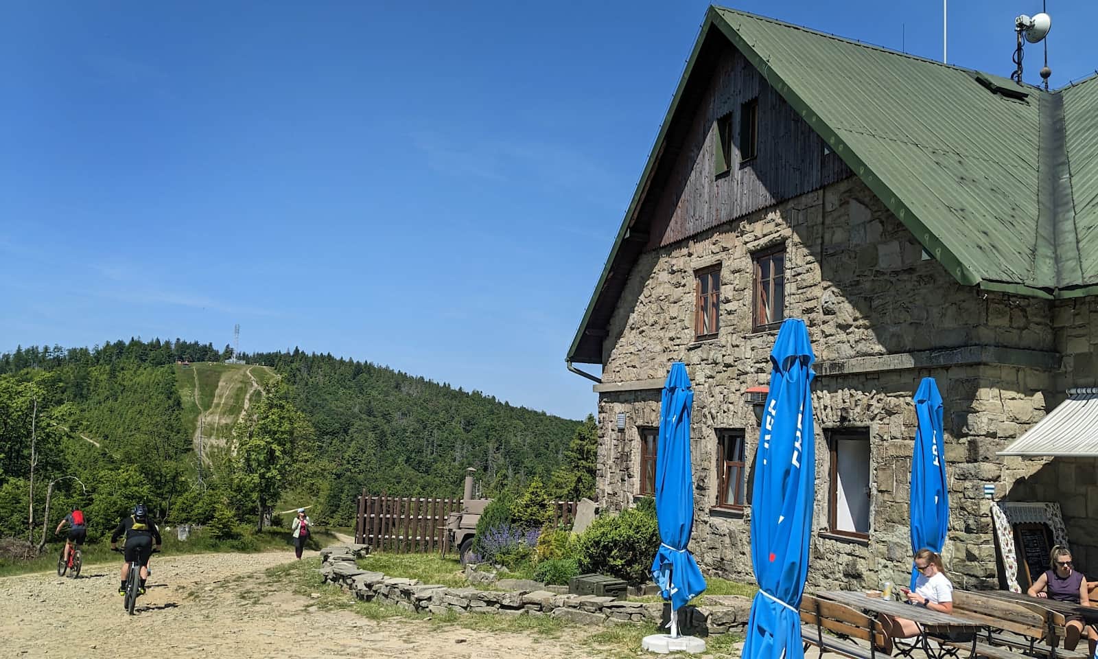
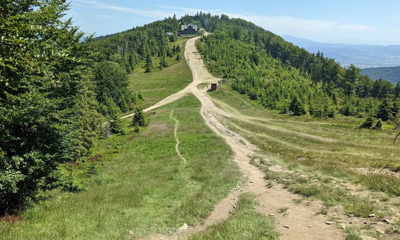
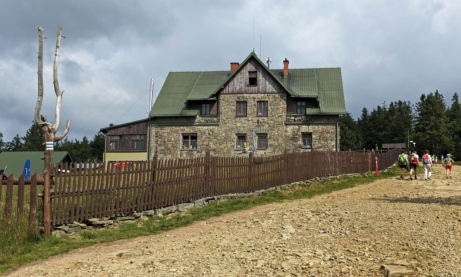
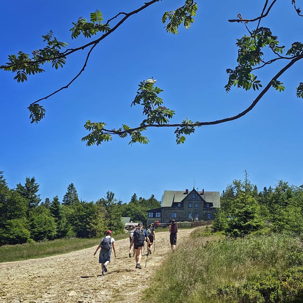
PTTK mountain hut below Klimczok
Does the hut below Klimczok stand where the bandit's manor once was? We do not know, but we do know the hut has a history of over 100 years. Today you can rest here, get a meal, and of course stay overnight. Children can use a small playground. A fun fact: there used to be a real swimming pool here! Note: PTTK is the Polish Tourist and Sightseeing Society, which runs many mountain huts in Poland.
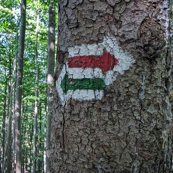
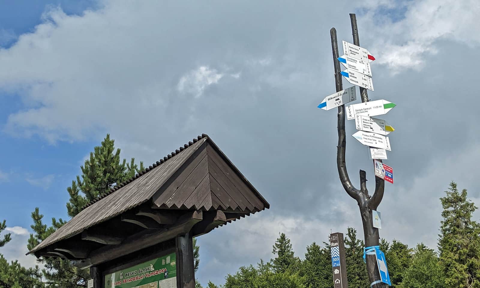
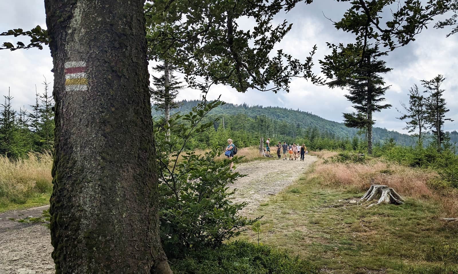
All trails to Klimczok
Now that you know how many different attractions wait on Klimczok, it is time to choose how to get there. There are many trails with different lengths and difficulty levels.
The easiest route to Klimczok
The easiest and quickest way to reach the summit is to take the Szyndzielnia gondola from Bielsko-Biała. From the top station it is about 1 hour on foot to Klimczok, on an easy and pleasant path.
Easy
From Mount Szyndzielnia to Klimczok

From Bystra to Klimczok
Starting in the village of Bystra you can choose from 3 trails:
- blue trail: about 6 km, 700 m elevation gain, about 2 h 40 min one way
- red trail via Magura (Klimczokowa), about 6 km, 725 m elevation gain, about 2 h 45 min one way
- green trail, a loop traversing the slopes of Szyndzielnia, 7 km, 660 m elevation gain, about 2 h 50 min one way
From Szczyrk to Klimczok
Popular hiking trails also reach the summit from Szczyrk (a mountain resort town):
- blue trail Szczyrk Center – Klimczok: 5 km, 600 m elevation gain, about 2 h 15 min one way
- green trail from Szczyrk, via the Klimczok hut: 7 km, 630 m elevation gain, about 2 h 50 min one way
- yellow trail to Chata Wuja Toma (Uncle Tom's Hut), then red to Klimczok: just under 6 km, 615 m elevation gain, about 2 h 30 min one way
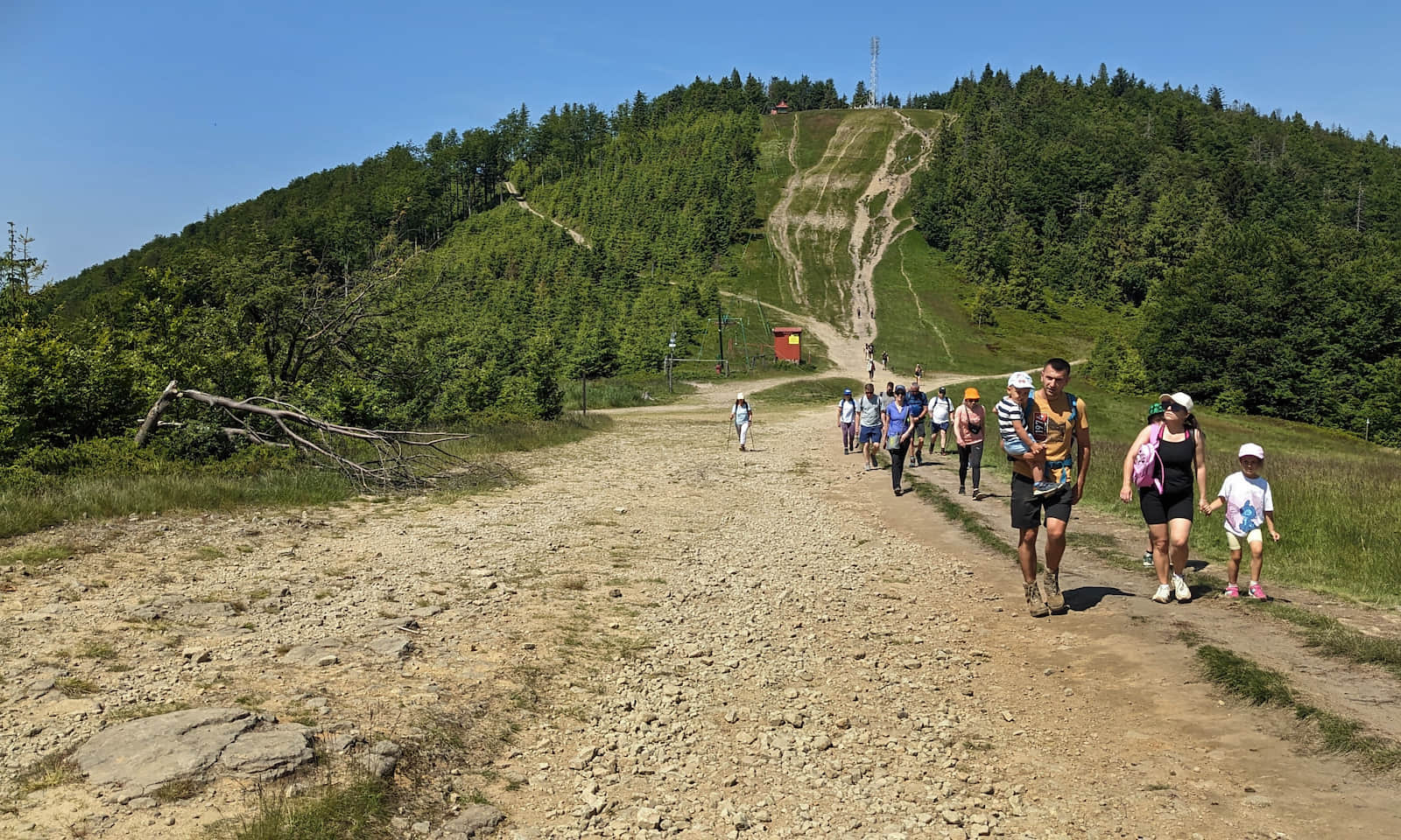
Heads-up: the easy access and dense trail network mean it can get crowded here on weekends and during peak season. If you seek quiet mountain time, come on a weekday, or when the gondola has a seasonal maintenance shutdown.

More in the Region Beskid Śląski (Silesian Beskid)