Yellow Trail to Luboń Wielki - Borkowski's Path
Town: Rabka Zaryte Nearby: Rabka Zdrój| Distance | 3.5km |
|---|---|
| Time | 2h 16min |
| Ascents | 561m |
| Descents | 16m |
warning Difficulties for parents with a toddler in a baby carrier
wb_sunny Route in the sun
restaurant Restaurant or bar nearby
directions_car Access by car
directions_bus Can be reached by bus
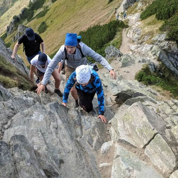
The Yellow Trail to Luboń Wielki (1023 m above sea level), also known as the Borkowski's Path, is one of the more challenging routes to this characteristic peak of the Beskid Wyspowy (and one of the most difficult in the entire range). At the end, we will find a small shelter and a viewing terrace with a panorama to the north.
Attention!
- In winter and after rain, the trail may be dangerous
- it is definitely an "entry trail", descending this way will be very difficult
The beginning of the yellow trail to Luboń in Rabka-Zaryte
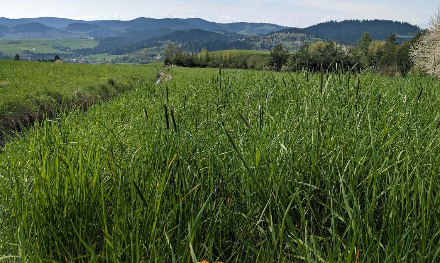
Unfortunately, there is no designated parking lot, so we have to leave the car on the side of the road, or a bit further in the church parking lot. We can also take a bus here (PKS stop near the school). The beginning of our hike is a walk through meadows.
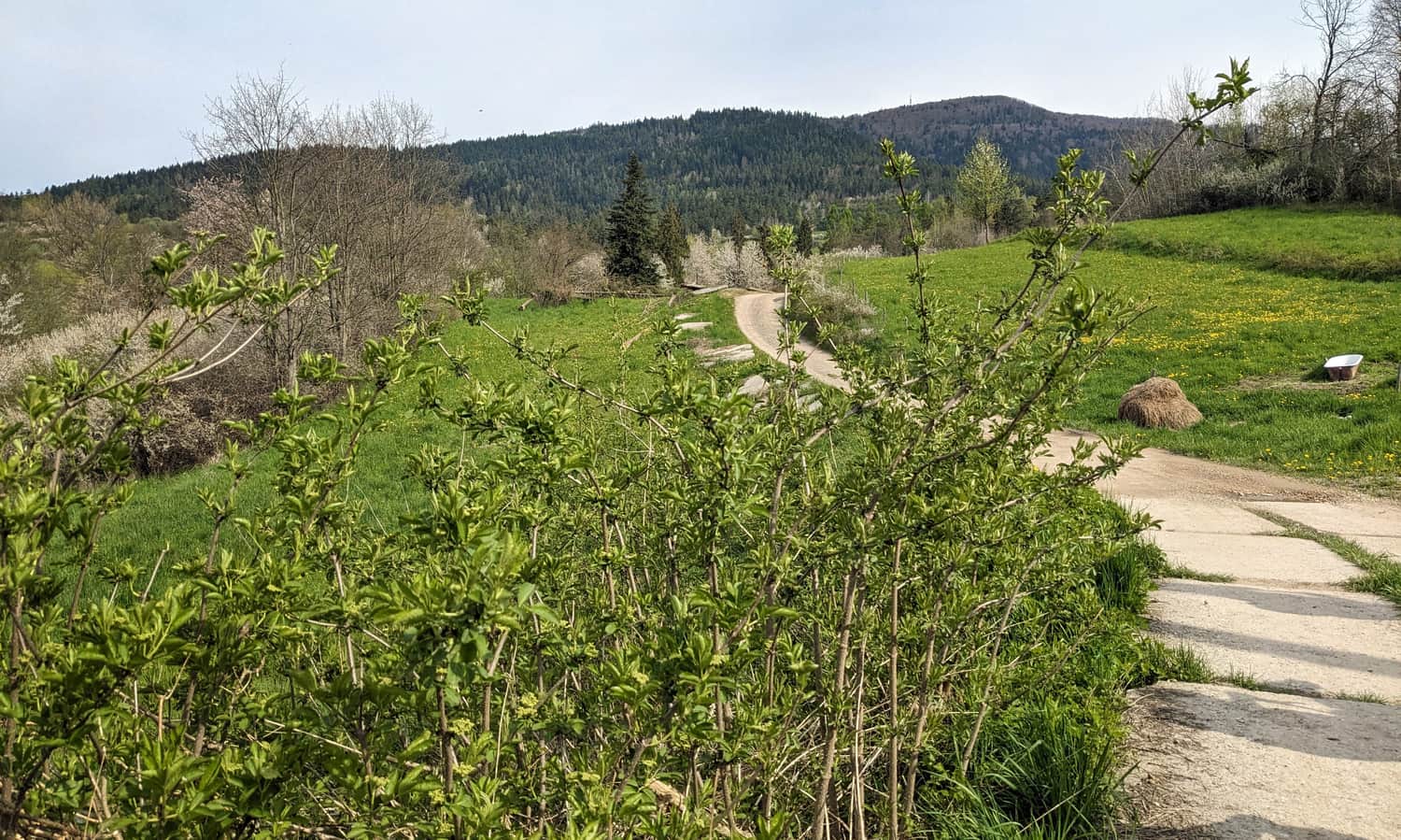
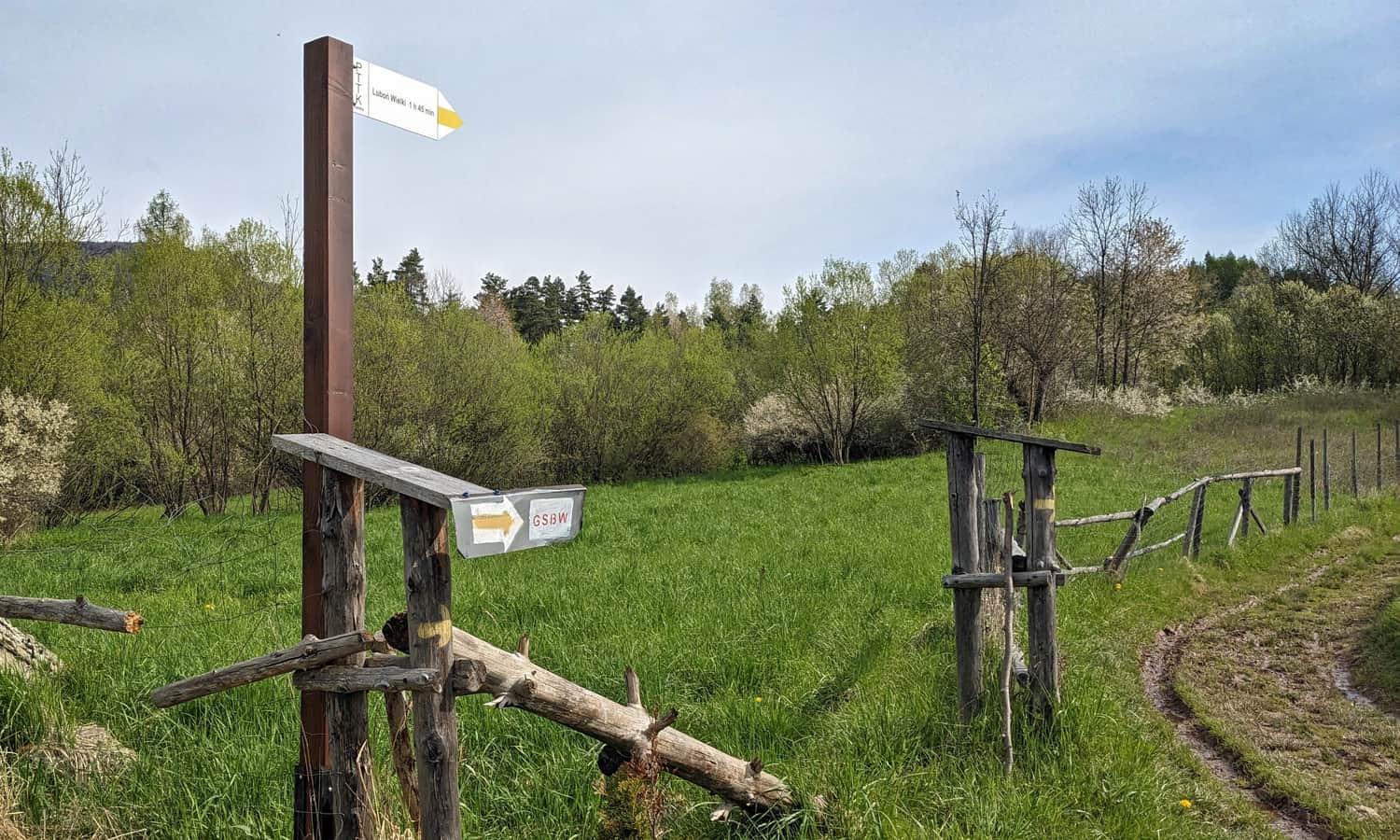
Pay attention to the place where the yellow trail turns right from the wide road!
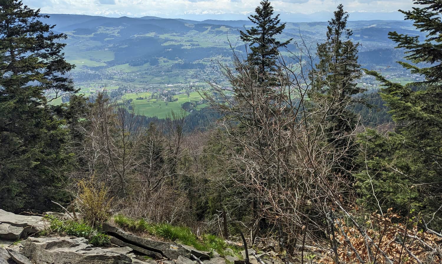
Before entering the forest, it's worth noting the views to the south that we leave behind, namely the Gorczański Ridge on the other side of the Raba Valley:
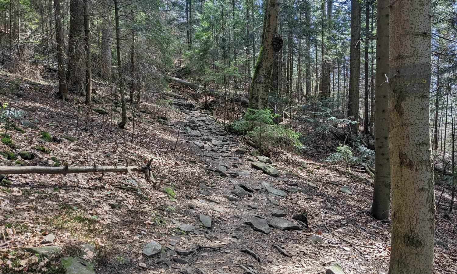
As we enter the forest, the path becomes steeper, but we are already walking in the shade.
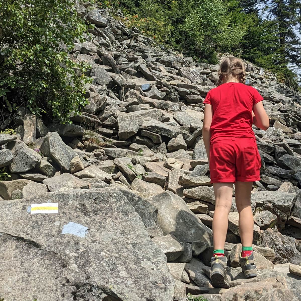
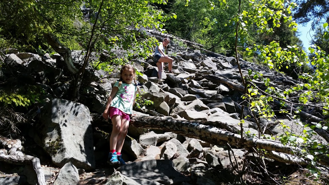
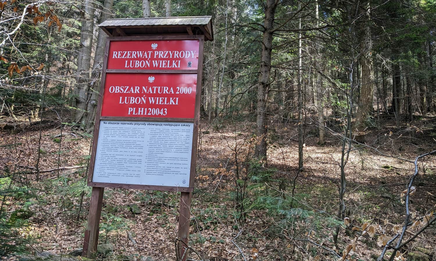
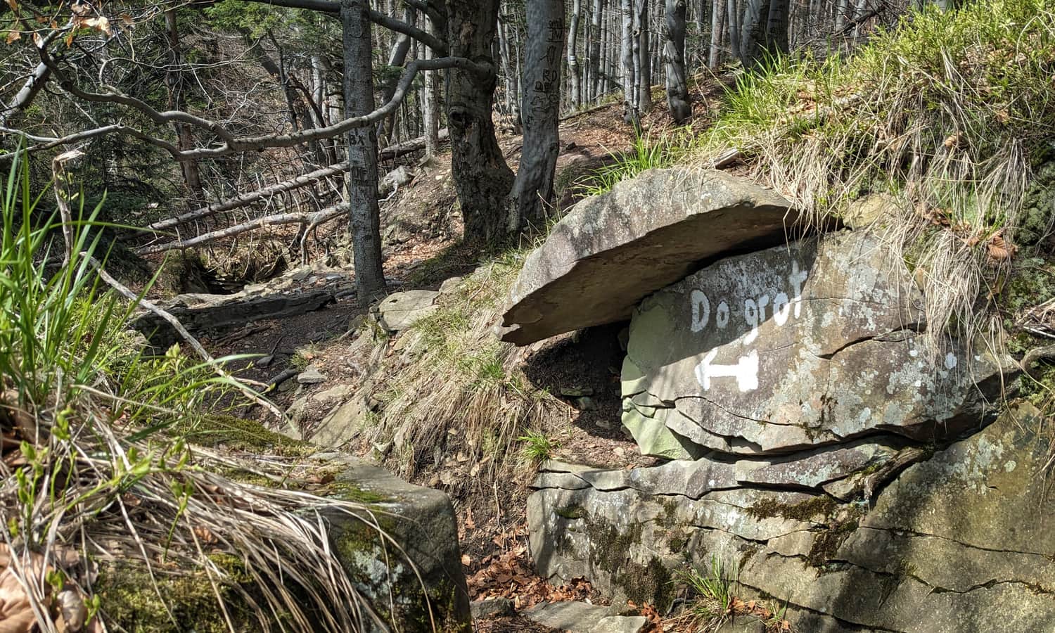
Luboń Wielki Nature Reserve, rocky debris, Dziurawe Turnie cliff and caves
After reaching the border of the Luboń Wielki Nature Reserve, we can prepare ourselves for the fact that the biggest attraction of the trail is right in front of us!
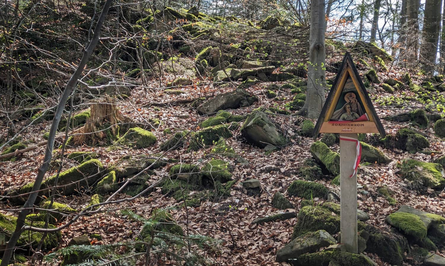
Along the way, we pass a small chapel commemorating local partisans. Did you know that during World War II, the Nazis referred to Luboń Wielki as "Polish Mountain" because of the number of partisans in this area?
The rocky debris and cliff called "Dziurawe Turnie" that everyone has been waiting for since the beginning of the trail is just ahead!
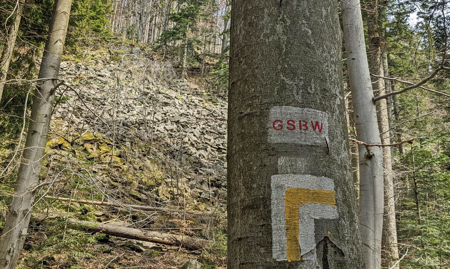
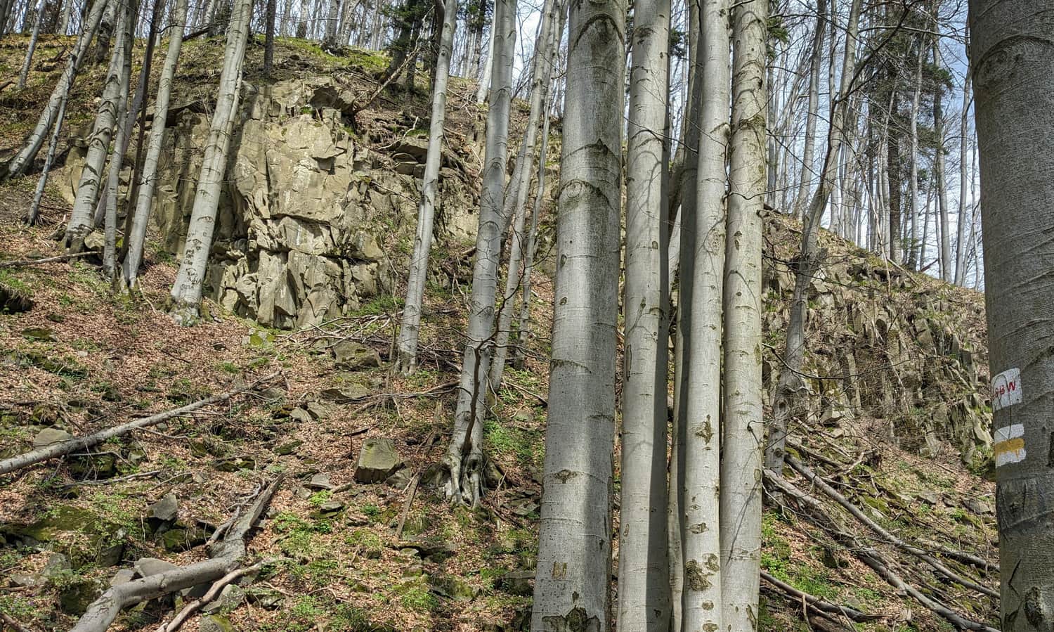
Attention! To avoid getting lost on the rocky field, do not climb blindly upwards, but follow the trail markers that will safely guide you through relatively stable boulders.
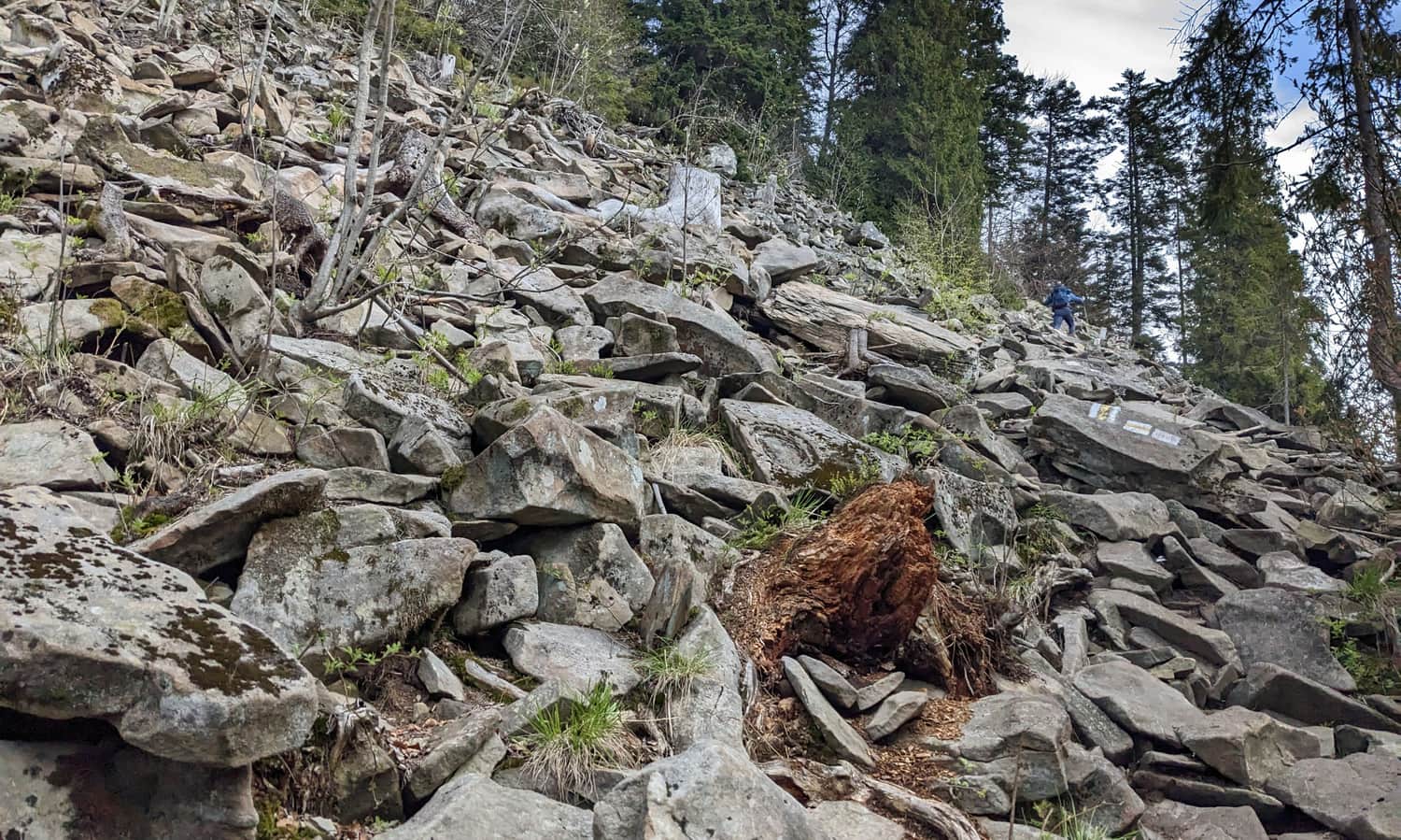
Undoubtedly, the gigantic sandstone debris is an extraordinary attraction of this trail! In between looking down, it's also worth paying attention to the views to the south: besides the Gorczański Range, you can also see the Tatra Mountains!
Borkowski's Path is not only about the debris but also numerous cave formations, rock shelters, and caves - there are supposedly even a dozen of them here! The caves are not secured or adapted for tourists to visit. If you decide to find them and take a look, you do so at your own risk!
After crossing the debris, we still have about 500 meters of the yellow trail left, which passes under the rocky cliff of "Dziurawe Turnie":
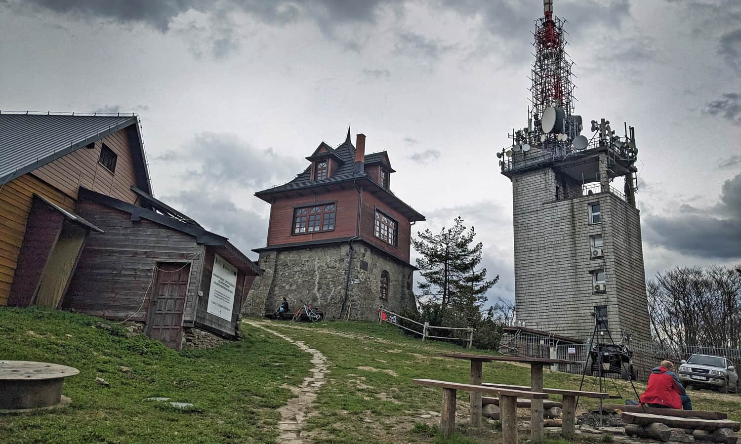
...then, by circling it from the east, it merges with the red trail from Przełęcz Glisne and leads us to the PTTK shelter and the peak of Luboń Wielki.
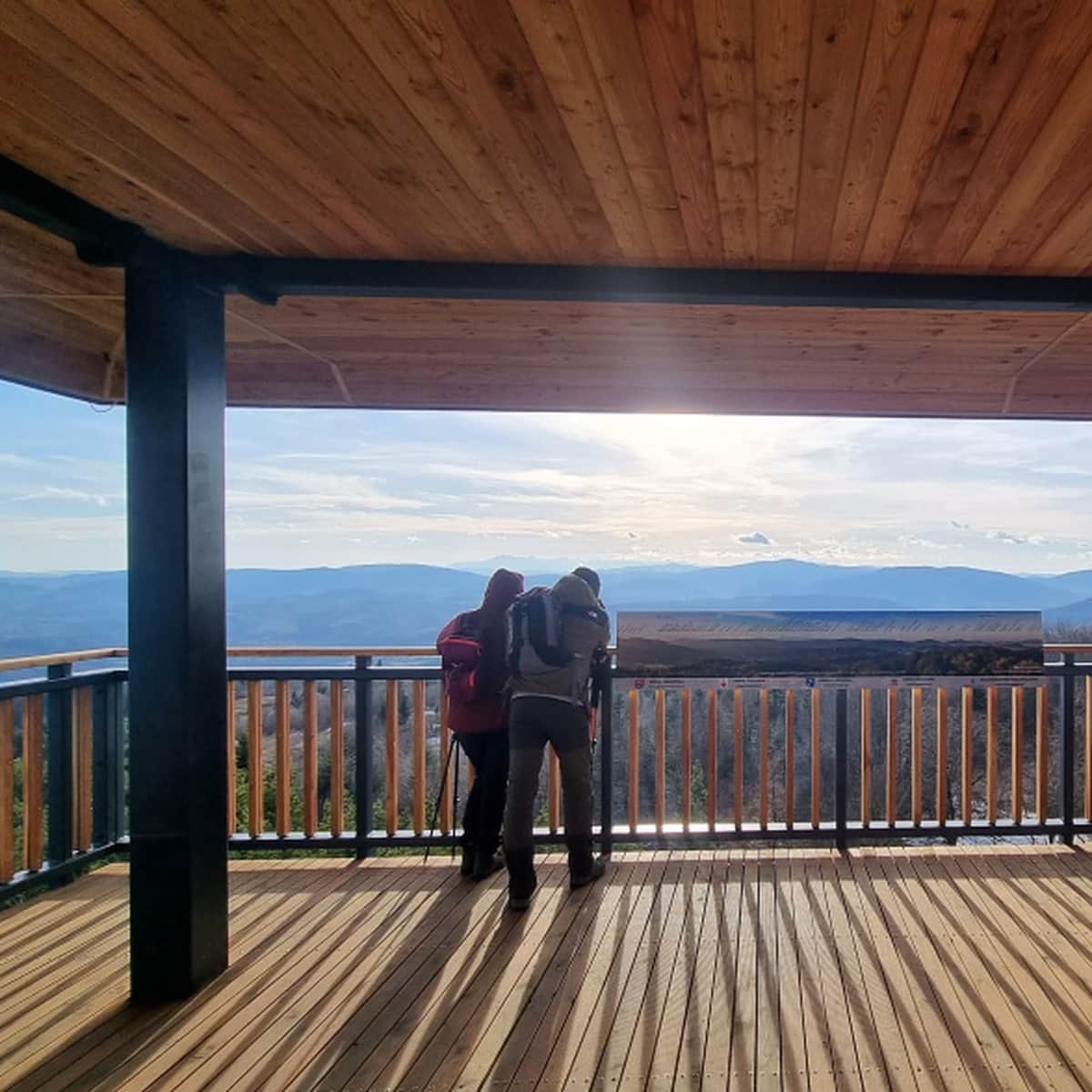
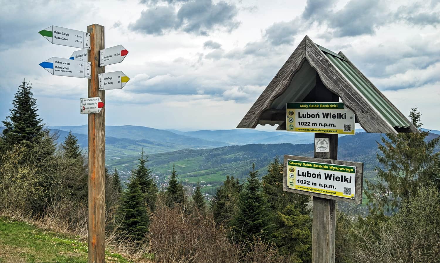
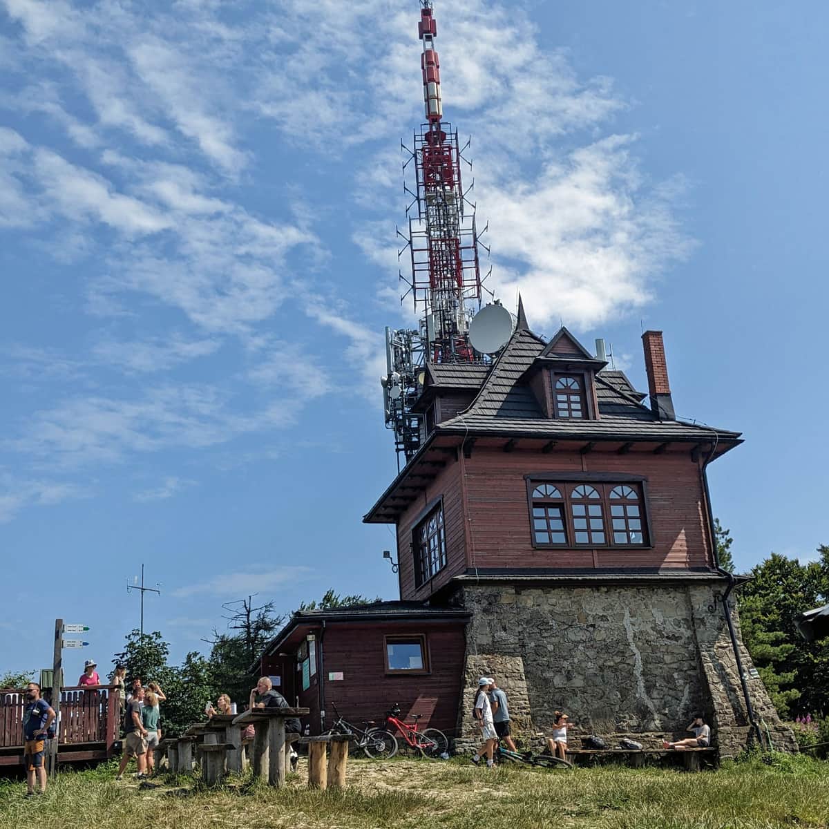
Luboń Wielki - peak and shelter
At the summit of Luboń Wielki (1023 m above sea level), there is a small, cozy shelter where you can buy a certificate of achievement, stamp your hiking log, or get something to eat.
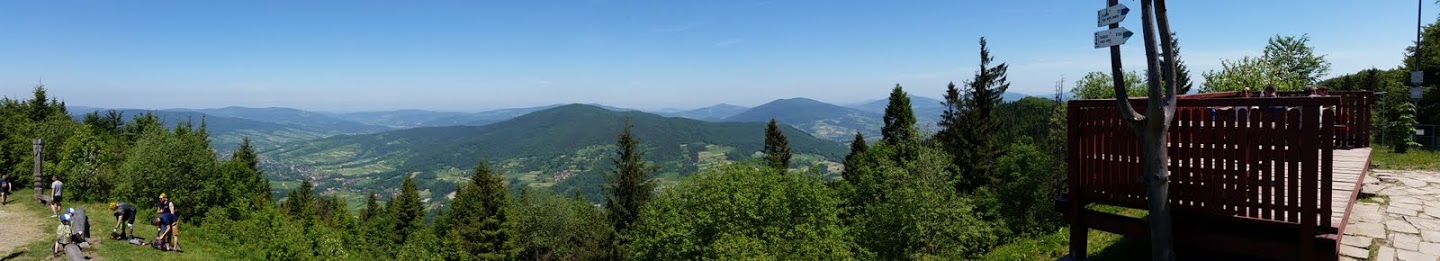
From the summit, from a small viewing terrace, there is a beautiful view to the north!
PS no. 1 If you are not completely confident in your abilities (see comments under the description), we recommend the blue trail from Rabka-Zaryte: slightly longer but easier, or the easiest of them all, the green trail. The blue trail will take you directly to the entrance point of the yellow trail, which is not suitable for descending...
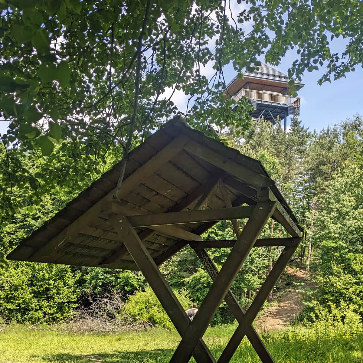
PS no. 2 ATTENTION! If you continue on the blue trail on the section Rabka-Zaryte - Rabka-Zdrój and decide to detour from the trail to the lookout tower at Polaczkówka! Near the tower, the road splits into 3: two wider roads and a narrow path through the grass towards the forest, which descends when entering the forest - that's the correct one!
PS no. 3 And if you like beautiful views along the way, also consider taking the blue trail from Naprawa to Luboń Wielki - it's much longer but more gentle and offers scenic views (it runs along the edge of the forest and meadows).
Luboń Wielki - shelter, interesting facts, and other trails to the summit
You can find more information about the trails to Luboń Wielki, the shelter, and interesting facts about this place in the article:
Luboń Wielki - Trails, Hostel, and Curiosities
Luboń Wielki (1022 meters above sea level) is one of the highest and most scenic peaks in the Beskid Wyspowy mountain range. It is home to the only PTTK mountain hostel and the largest rocky debris field in the Beskids. ...
PS. We included this trail in the article "Małopolska - routes for active families". Check out the others as well!
Małopolska - Trails for Active Families
Are you an active family who loves sports all year round and wants to test your fitness in the great outdoors? We have a few ideas on how to combine training with a tourist trip. ...

Publish Date:
Last Updated: