Sokolica from Krościenko - the easiest trail
Nearby: Szczawnica| Distance | 3.4km |
|---|---|
| Time | 1h 36min |
| Ascents | 306m |
| Descents | 67m |
beach_access Route in the shade
directions_car Access by car
directions_bus Can be reached by bus
warning No dogs allowed
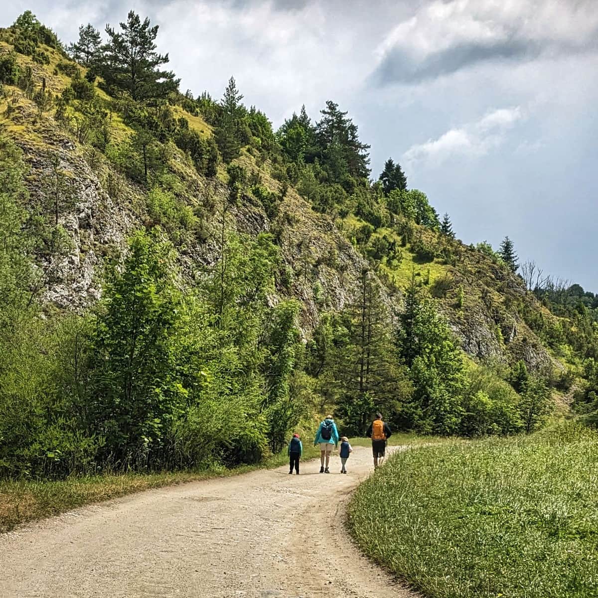
The Green Trail to Sokolica is the shortest route to Sokolica from Krościenko nad Dunajcem. The path starts with an easy walk along the river and becomes steep only near the summit. Along the way, you will pass by several interesting spots, including those related to the legends of St. Kinga.
Why should you hike to Sokolica from Krościenko?
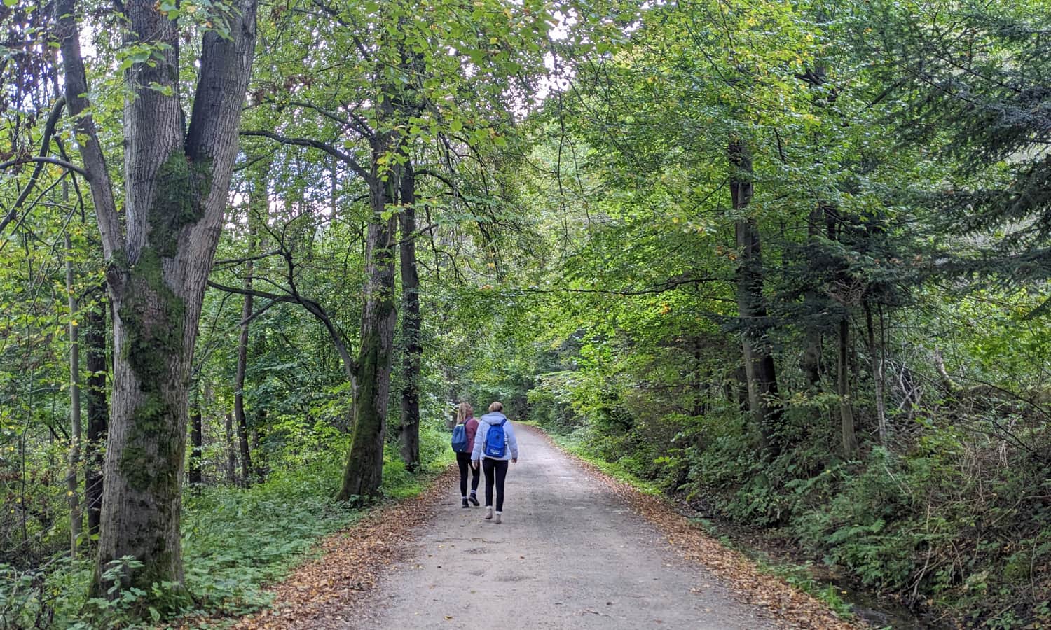
By choosing this route, you don't have to worry about whether the Dunajec River crossing is open or wait in line for a raft. Additionally, this trail is much quieter than the most popular (and shortest) route from Szczawnica. On a hot summer day, you'll appreciate that the entire trail runs through the forest or along its edge.
Starting the Green Trail in Krościenko
The Green Trail cuts through Krościenko nad Dunajcem and leads in two directions: either along Jagiellońska Street and Trzech Koron Street (towards the peak with the same name) or up the Dunajec River along Św. Kingi Street. You can park near the National Park boundary (a small bay) or earlier in the market square or near the cemetery on Św. Kingi Street.
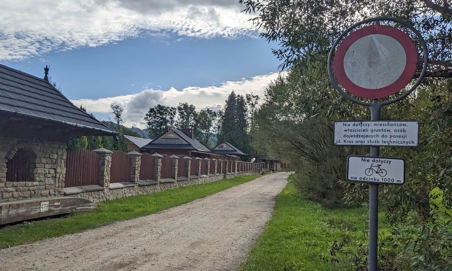
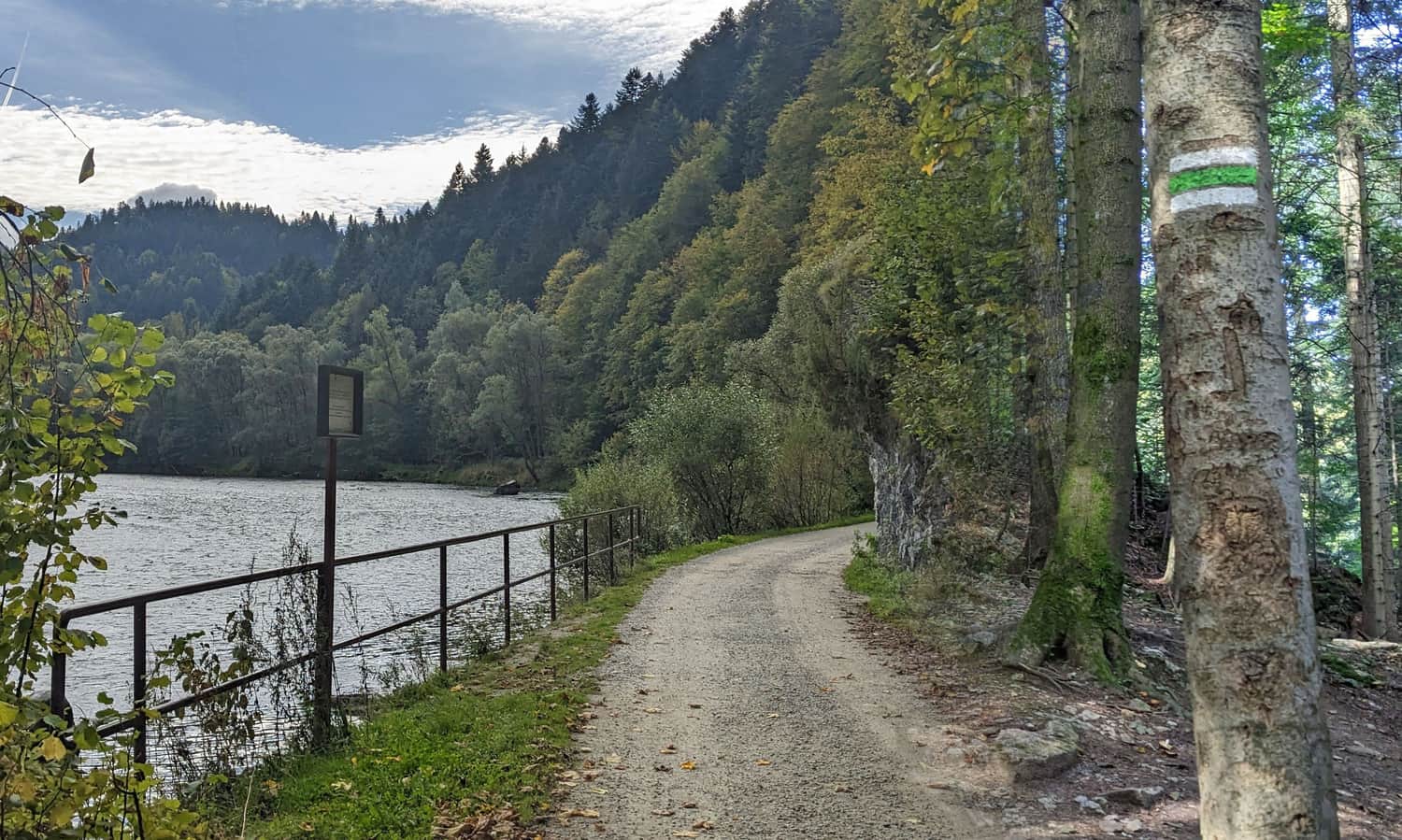
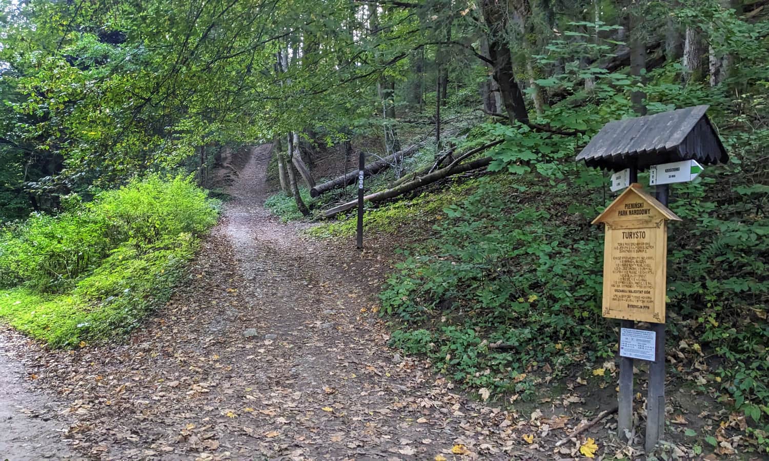
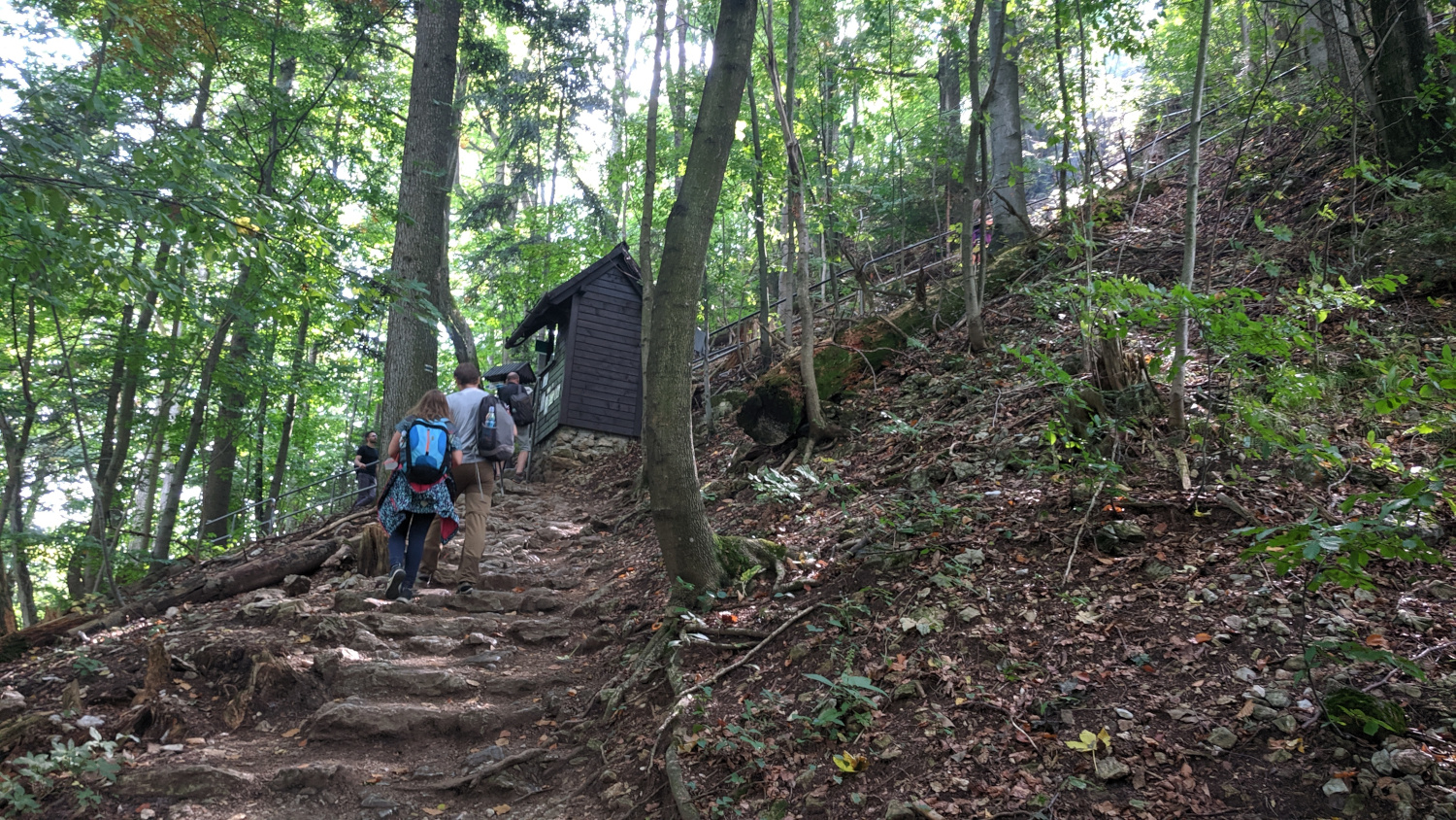
To reach Sokolica via the Green Trail, walk along Św. Kingi Street up the Dunajec River. Enter the Pieniny National Park (note: no dogs allowed!) and stroll along a comfortable, shaded forest path called 'Kras'.
Attractions on the Green Trail to Sokolica from Krościenko
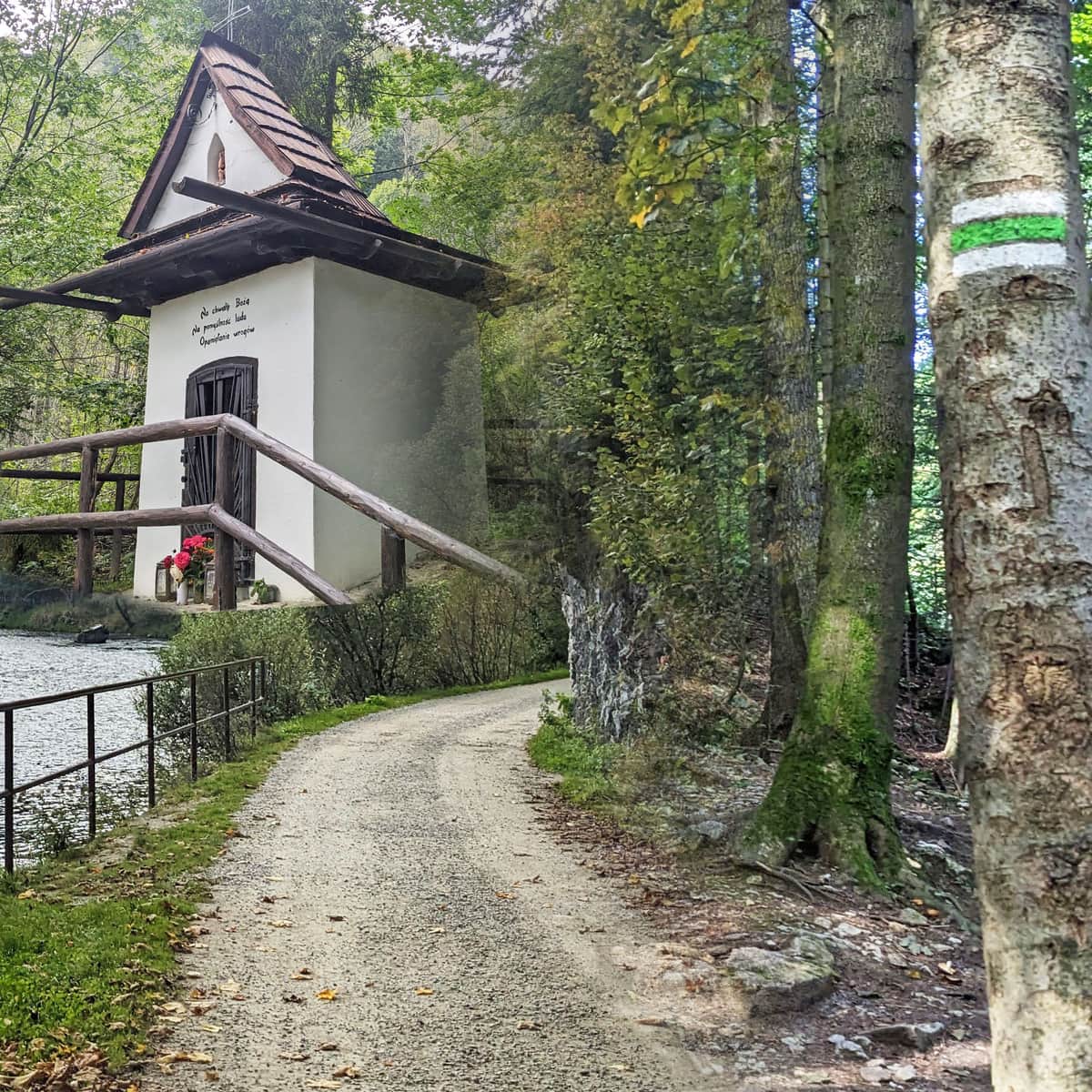
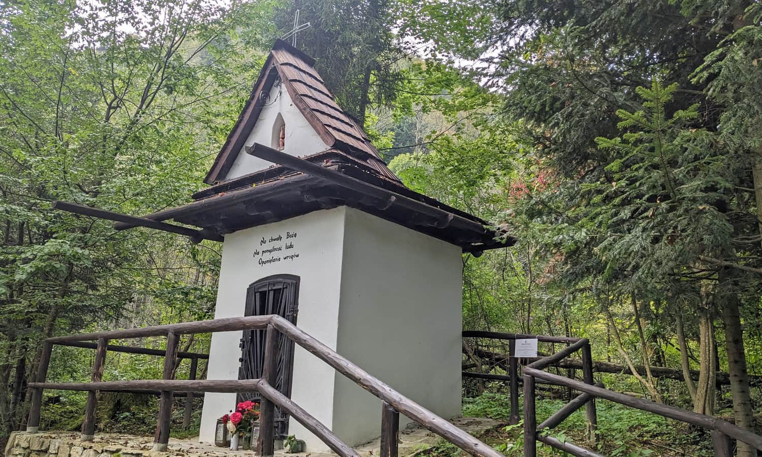
Along the way, you will pass several interesting spots: a chapel, 'Zawiesy' rock, bridge ruins, and landslides with caves.
The St. Kinga Chapel reminds us of the legend where the princess fled from a Tatar invasion. She threw a ribbon behind her, which turned into the Dunajec River. It's said she left a footprint in a rock here, and a miraculous spring appeared where she cried (near the chapel).
It's also worth stopping at the 'Zawiesy' rock, which is full of interesting rock plants, and the ruins of a broken bridge. A road to Szczawnica used to pass here a hundred years ago, but the bridge was destroyed during a tragic flood in 1934.
At a bend in the Dunajec River, where legend says grain ripened instantly to hide the fleeing Princess Kinga, our path turns right and finally starts to climb uphill.
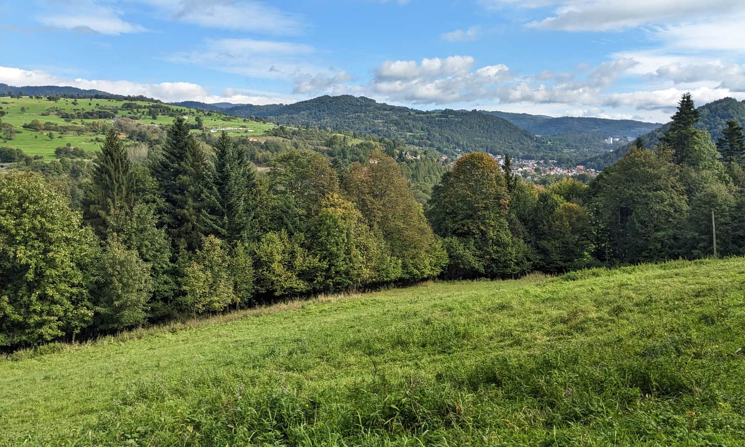
As you walk through the forest, you'll pass a clearing with a view of the western part of the Radziejowa Range, including Bryjarka and Bereśnik above Szczawnica.
Caves under Sosnowem 'Dziury'
As you climb through the forest, pay attention to the rock crevices along the way. This landslide area is called 'Dziury'. It's said you can find small landslide caves here.
Sosnów Pass - Trail Intersection
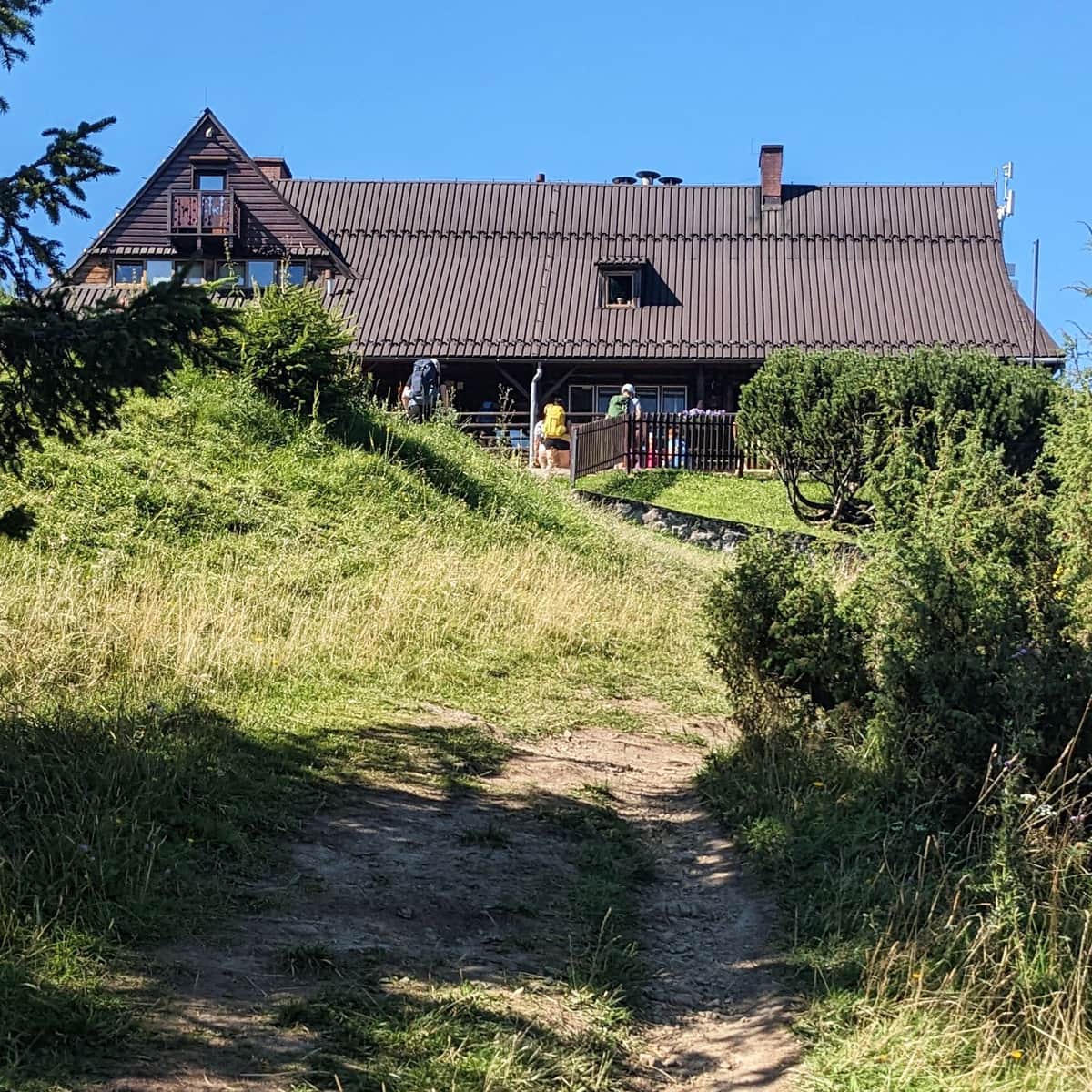
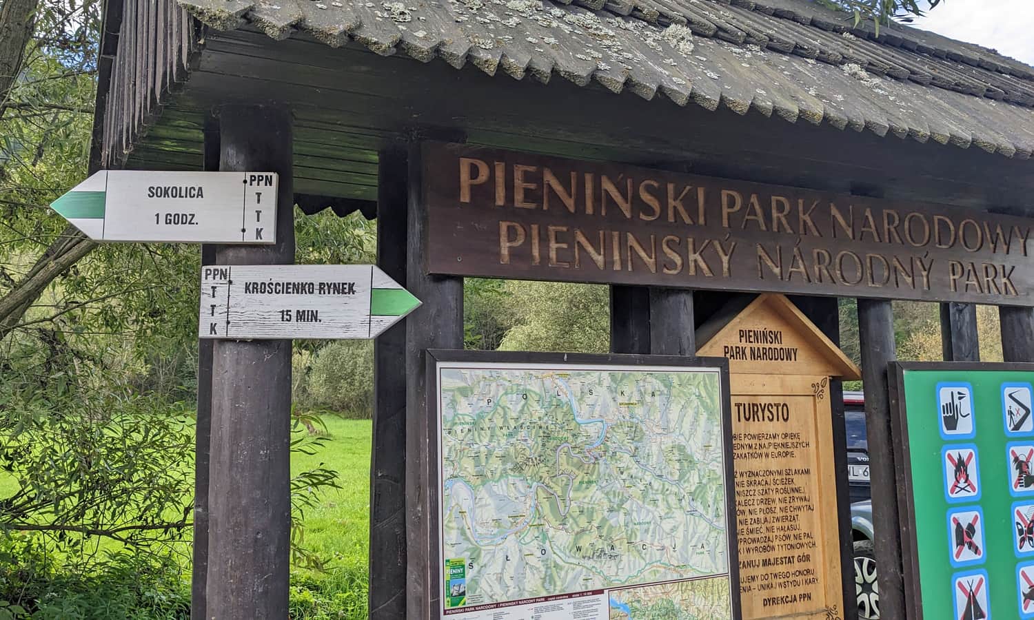
About an hour after entering the Pieniny National Park, you will reach Sosnów Pass, where the Green Trail ends. Follow the blue signs to the left.
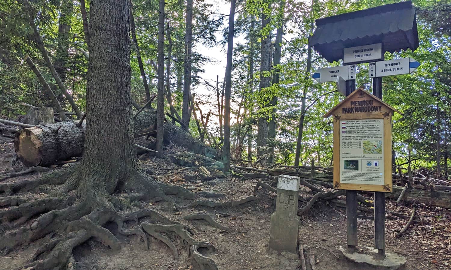
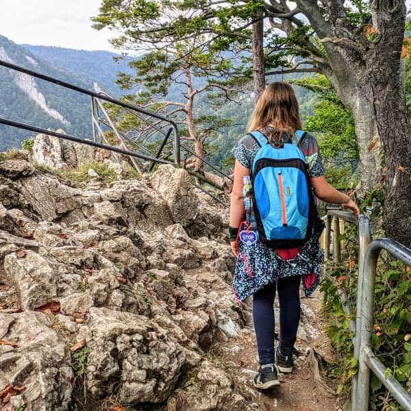
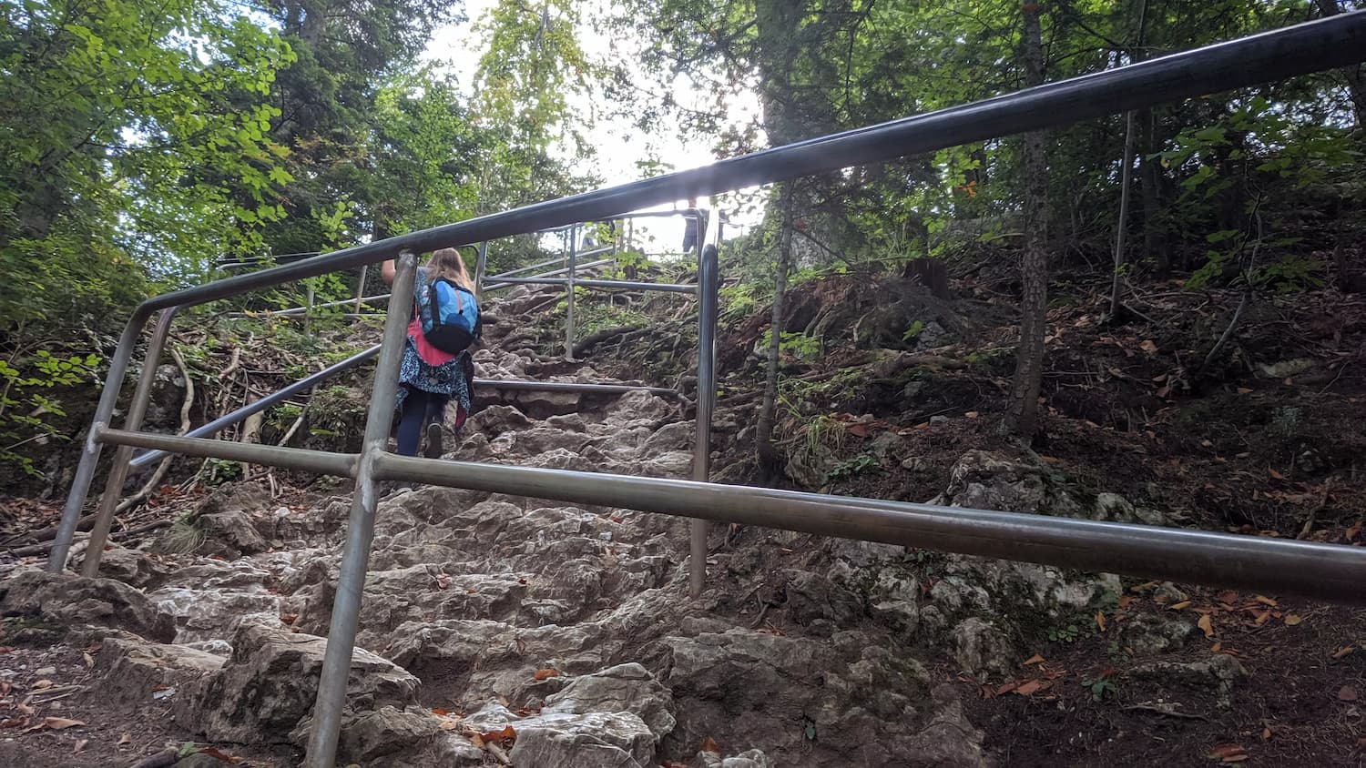
Just before the path to the summit of Sokolica, there is a ticket checkpoint (entry fee, discount for KDR). The final stretch to the summit is a short, steep climb over limestone rocks and roots. Be careful! It can be slippery and crowded!
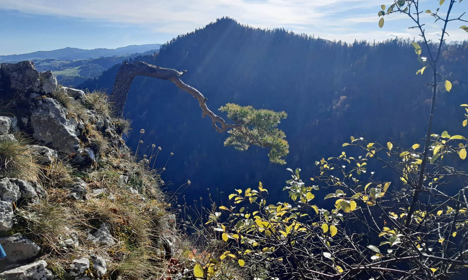
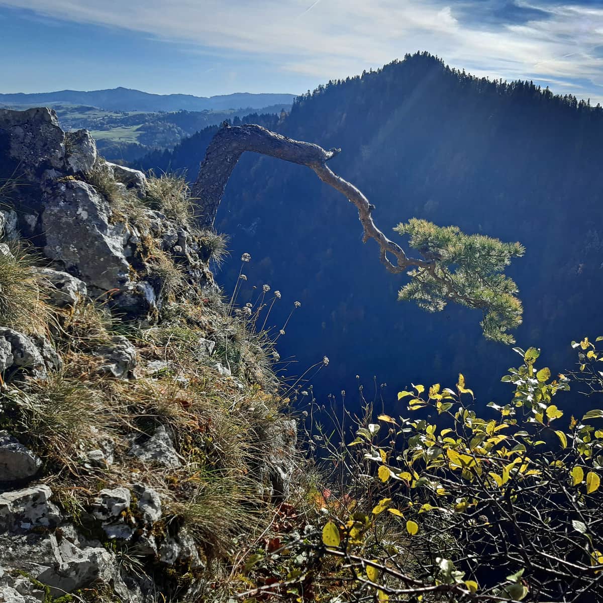
Sokolica Summit, 747 meters above sea level
At the summit: a beautiful view!
Learn more about Sokolica, the views, the famous pine tree, and other trails to the summit in this article:
Sokolica - trails to the scenic peak in the Pieniny Mountains
Sokolica (747 meters above sea level) is a scenic peak in the Pieniny Mountains. From here, you can see the picturesque Dunajec River Gorge, nearby Pieniny and Beskid hills, and the Tatra Mountains. What should you know about Sokolica and which trail to choose to reach the top? ...
PS. You can return to Krościenko the same way (the descent takes about 30-40 minutes).
You can also continue on the blue trail westward towards Czertezika. After about 20-30 minutes, past the viewpoint at Czertezika, you will reach green signs that bypass Czerteż (the most challenging part of the Sokola Perć) and lead you back to Krościenko - a total of about 4 km (1:20 min).
A longer but more scenic route with the attractions of 'Sokola Perć' is to follow the blue trail through Czertezik and Czerteż to Bajków Groń. From there, yellow signs will lead you back to Krościenko. The total descent from Sokolica to Czerteż to Krościenko takes about 2 hours (5.5 km).