Red Trail to Luboń Wielki
Nearby: Mszana Dolna| Distance | 2.2km |
|---|---|
| Time | 1h 31min |
| Ascents | 387m |
| Descents | 1m |
beach_access Route in the shade
restaurant Restaurant or bar nearby
directions_car Access by car
The red trail leads to Luboń Wielki (1022 meters above sea level), one of the most popular and scenic peaks in the Beskid Wyspowy mountain range. The trail from Przełęcz Glisne is only 2 kilometers long, but it involves a climb of almost 400 meters in elevation, which means it will be steep!
Start of the Red Trail to Luboń Wielki
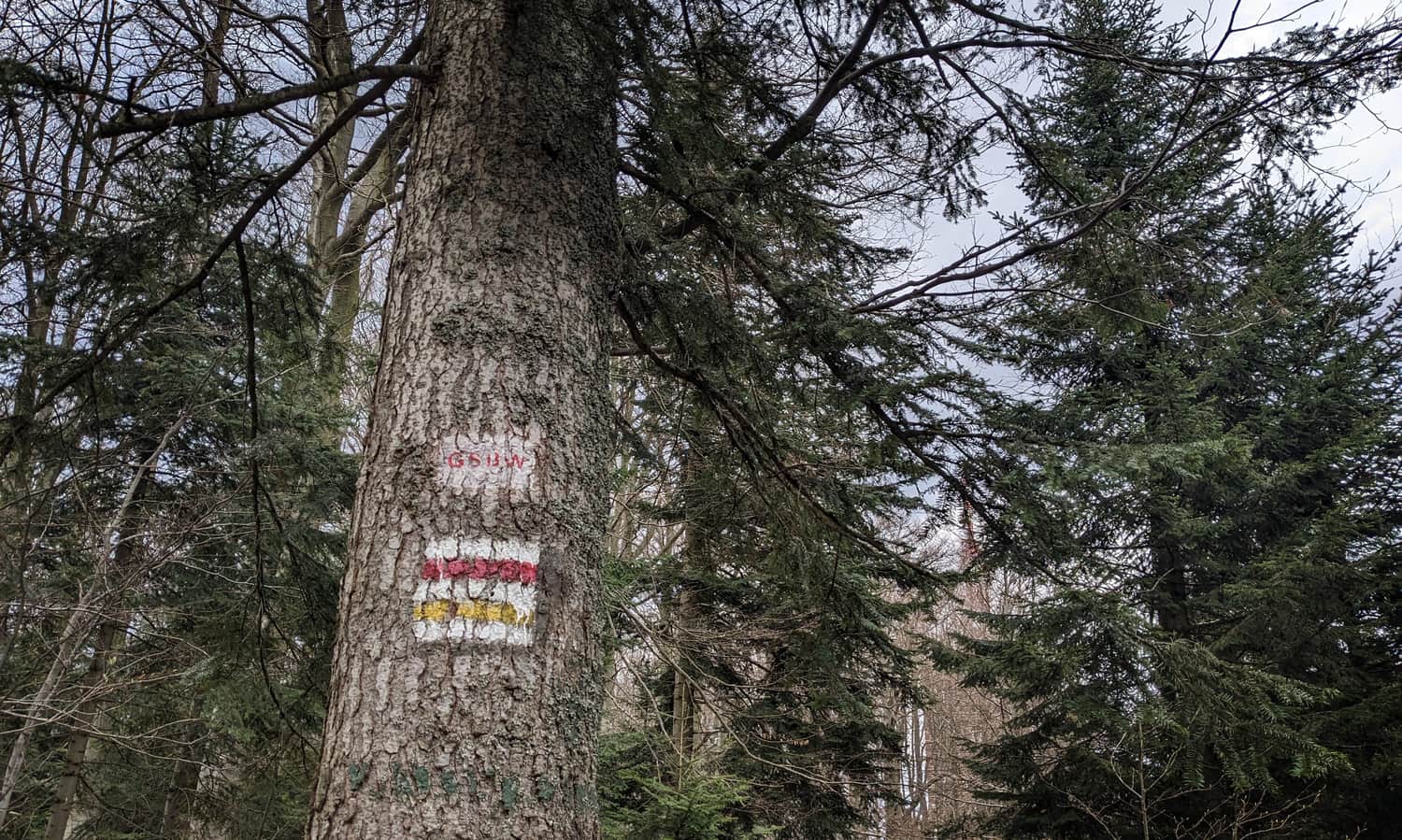
The red trail to Luboń Wielki is part of the Mały Szlak Beskidzki (Small Beskid Trail), which starts in Bielsko-Biała and passes through Beskid Mały and Makowski before reaching the Beskid Wyspowy. You can begin your hike at Przełęcz Glisne on the border of the towns of Tenczyn and Glisne (there are parking spaces available and a bus stop at PKS Glisne Michalaki), or earlier, in Mszana Dolna (which will add 9 kilometers to the one-way distance).
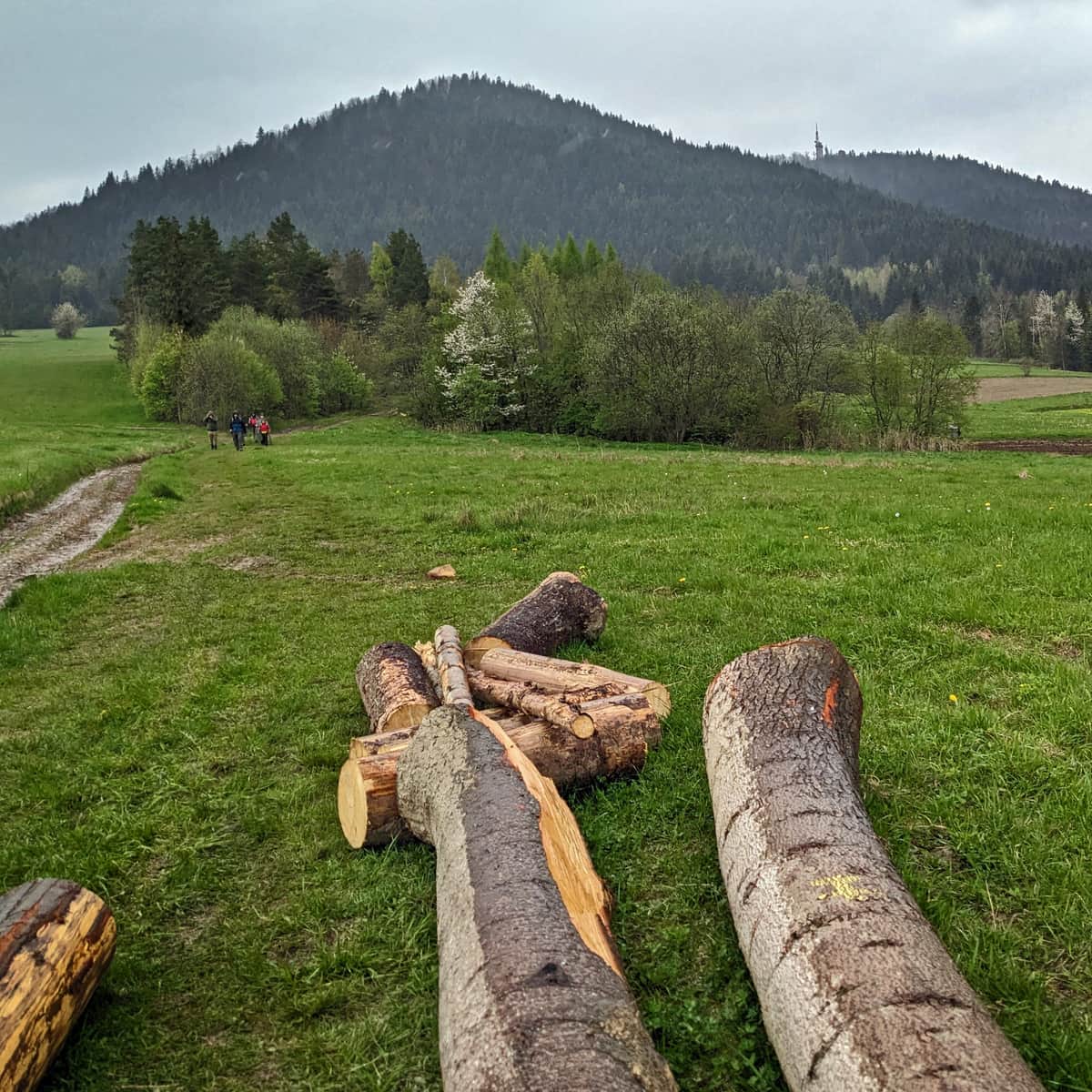
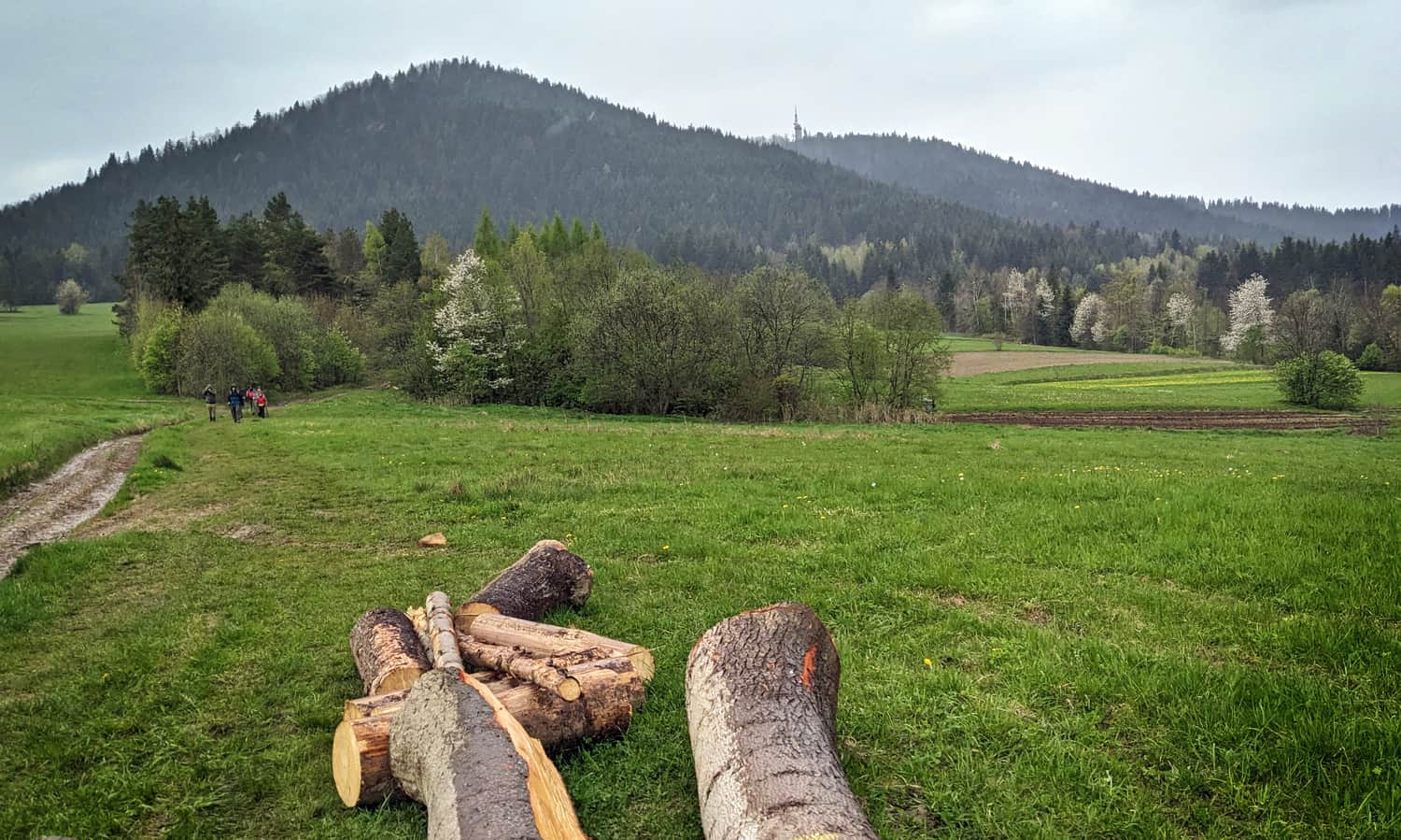
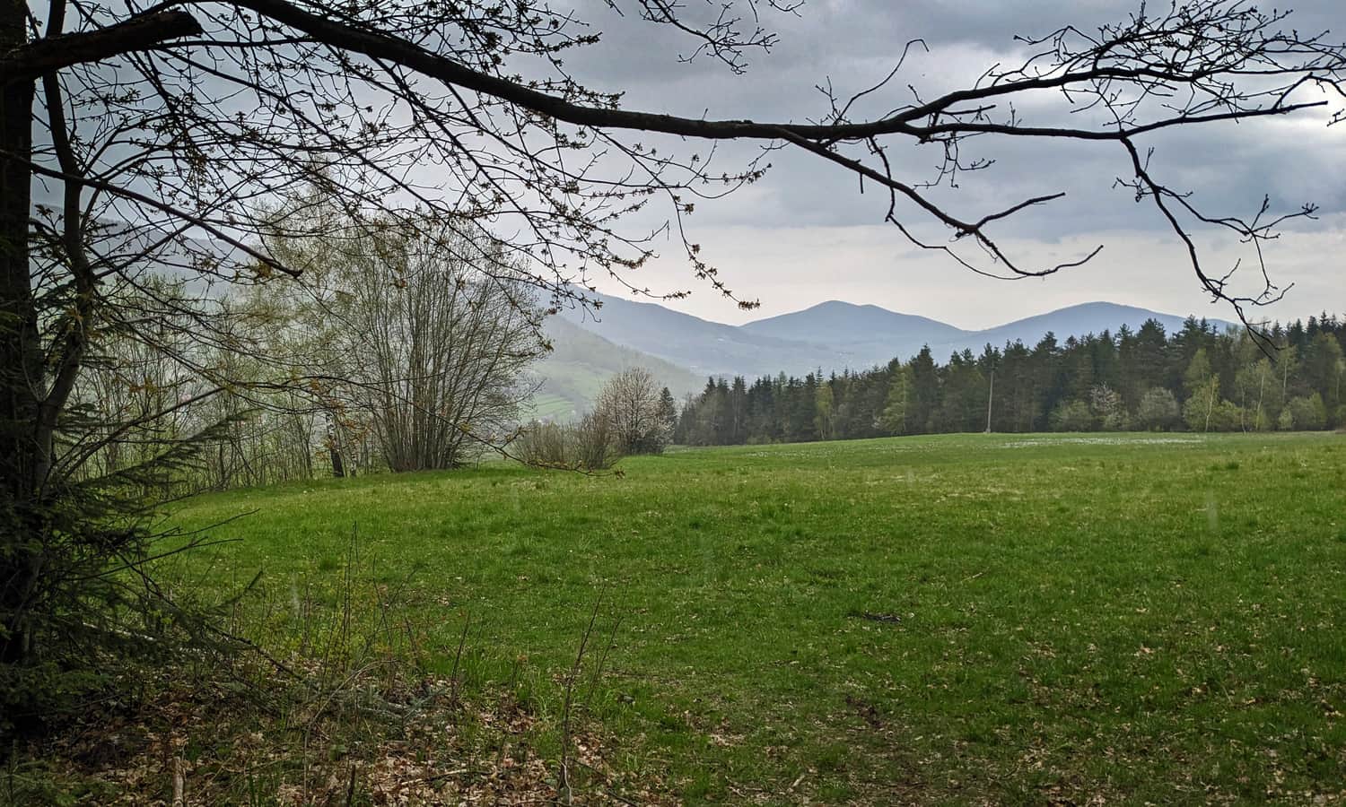
The start of the trail from Przełęcz Glisne is a pleasant walk through a meadow. We can see the goal of our hike ahead: the summit of Luboń Wielki with its distinctive television relay mast (photo above), while leaving behind views of neighboring "islands":
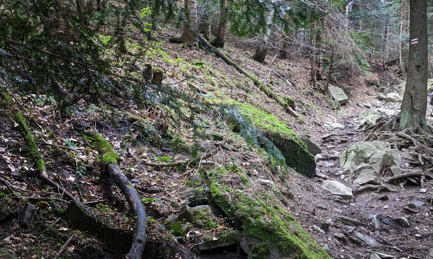
The forest section of the red trail is very steep and rocky. Caution! In winter, during rain, or after prolonged rainfall, it can be slippery and dangerous!
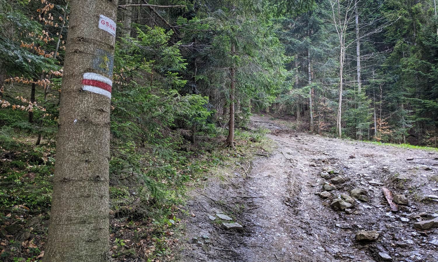
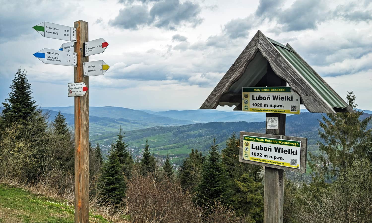
In the second half of the trail, it becomes a bit easier, and after joining the yellow trail from Rabka Zaryte, we can enjoy a pleasant walk to the PTTK mountain hut and the observation platform at the summit.
Luboń Wielki - Summit, Mountain Hut, and Views
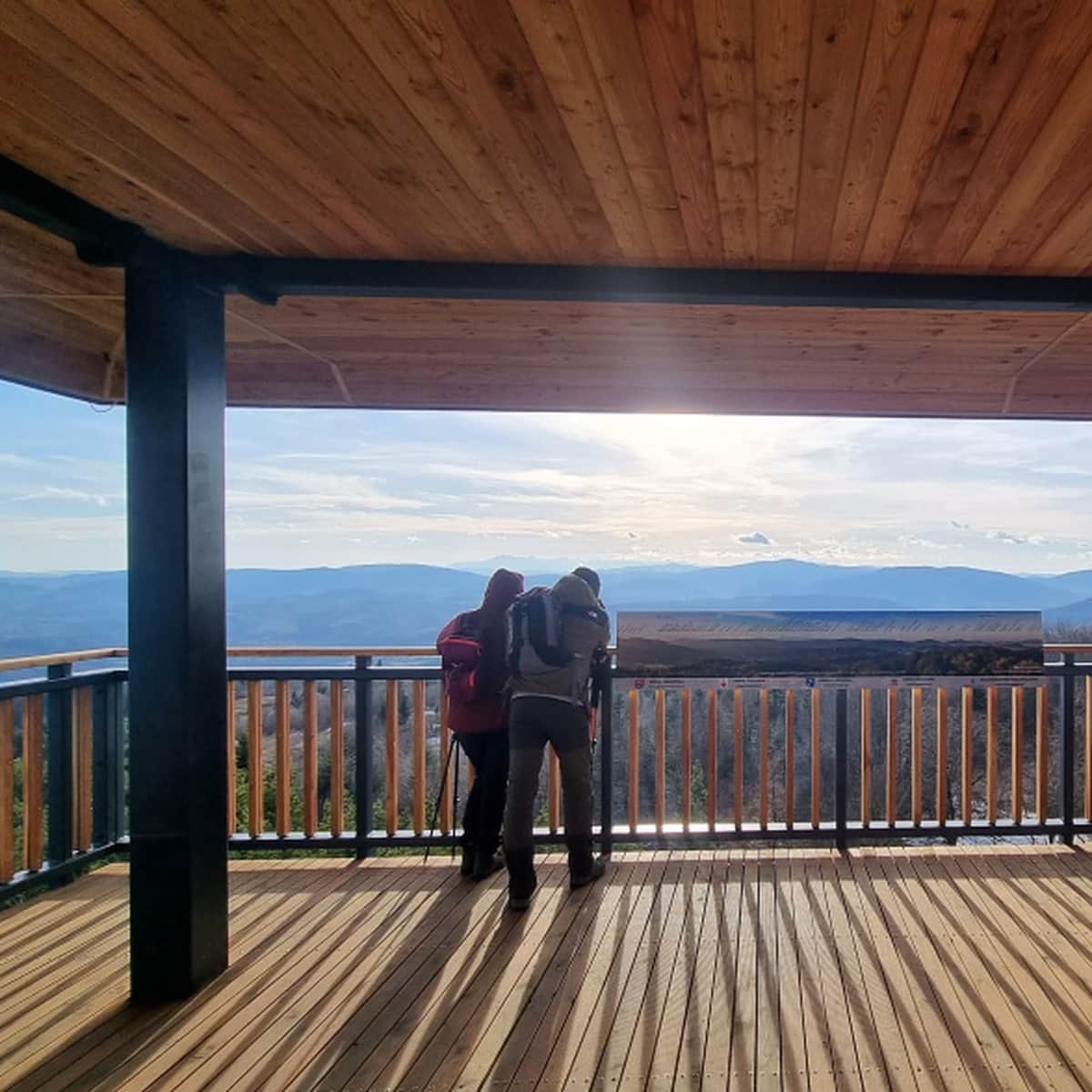
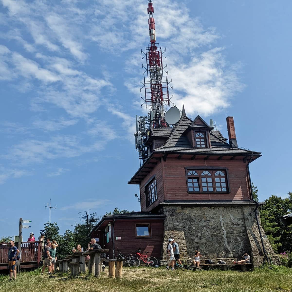
At the summit of Luboń Wielki (1023 meters above sea level), you will find a small, secluded mountain hut and a tower with a television relay:
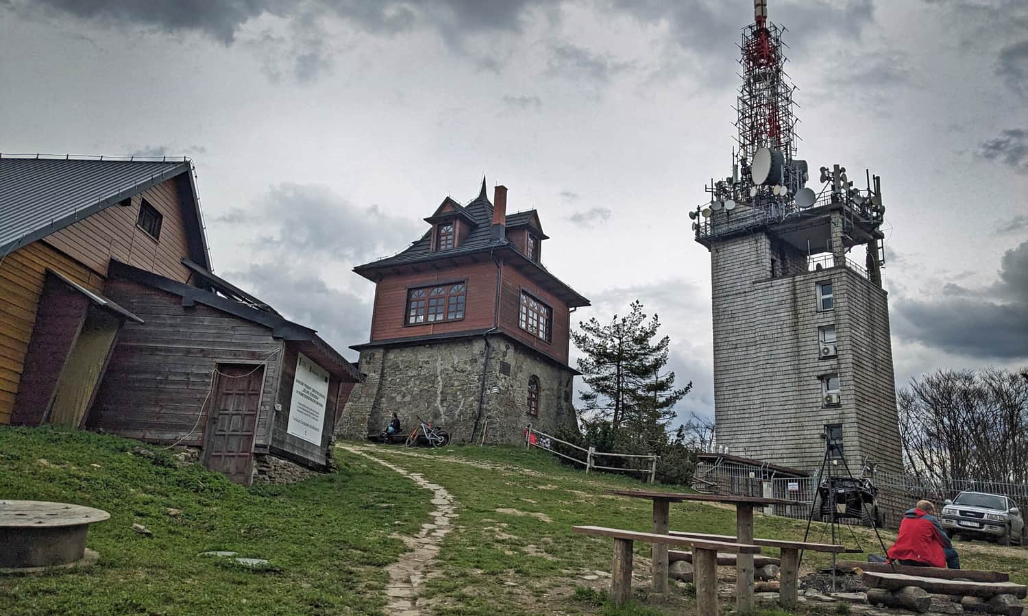
...and also an observation platform with a wide panorama to the north:
Luboń Wielki - Mountain Hut, Interesting Facts, and Other Trails to the Summit
You can find information about other trails to the summit and interesting facts about Luboń Wielki and the mountain hut here:
Luboń Wielki - Trails, Hostel, and Curiosities
Luboń Wielki (1022 meters above sea level) is one of the highest and most scenic peaks in the Beskid Wyspowy mountain range. It is home to the only PTTK mountain hostel and the largest rocky debris field in the Beskids. ...