From Wetlina to Smerek
Town: Wetlina Nearby: Ustrzyki Dolne| Distance | 5.2km |
|---|---|
| Time | 2h 43min |
| Ascents | 573m |
| Descents | 4m |
beach_access Route in the shade
directions_car Access by car
directions_bus Can be reached by bus
The yellow trail to Smerek through Orłowicza Pass starts right next to the PTTK and PTSM shelters in Wetlina (Wetlina Stare Sioło neighborhood). There is also a large bus stop bay, and across from it, there are food trucks and stalls with regional products.
From Wetlina to Orłowicza Pass
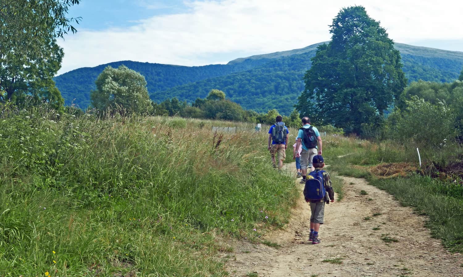
The beginning of the trail gives us a chance for a peaceful warm-up before the actual ascent. We start with a path through meadows - of course, with a beautiful view of our hiking destination!
At the border of the national park, there is a BPN booth where we can buy entrance cards, as well as souvenirs, drinks, and sweet snacks. Remember that dogs are not allowed in the Bieszczady National Park!
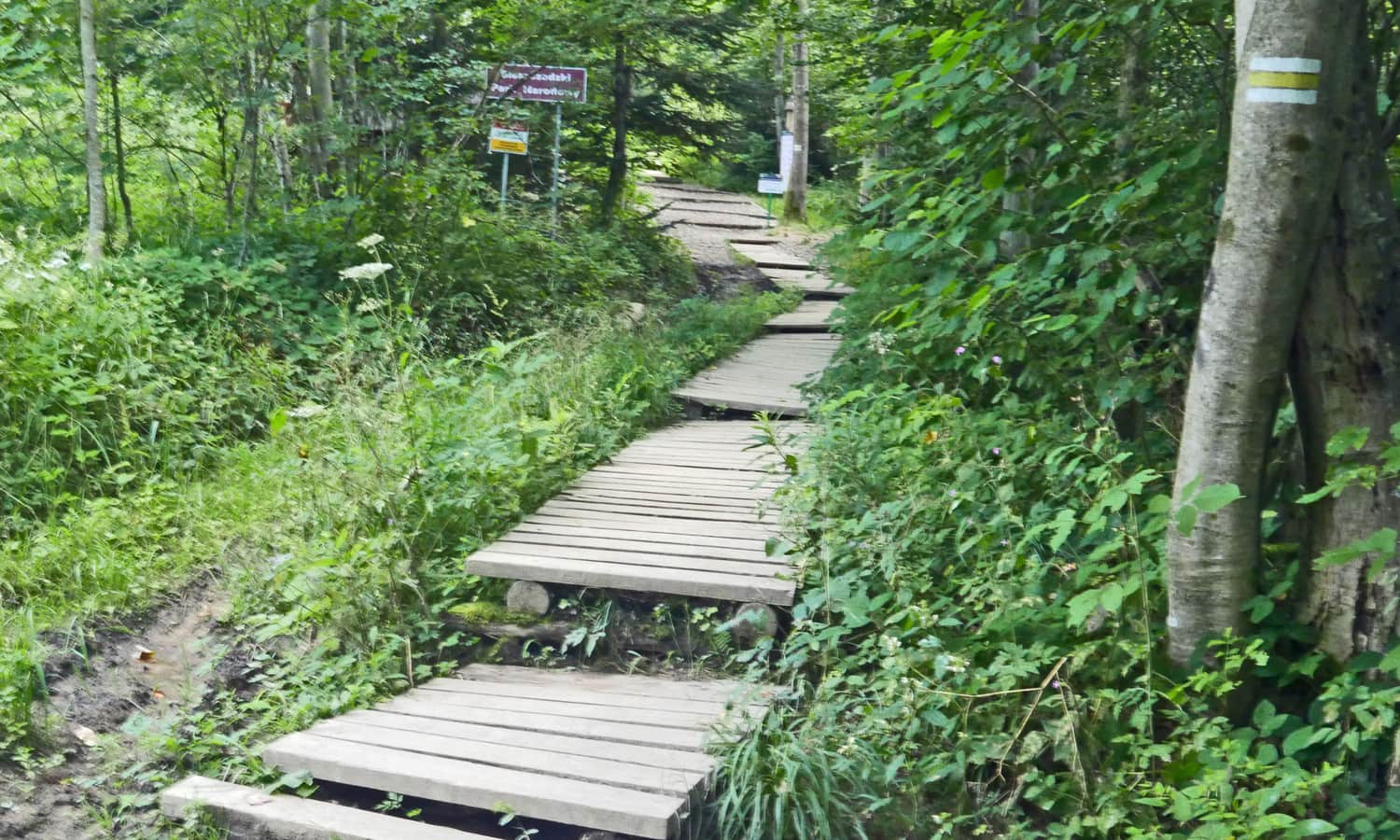
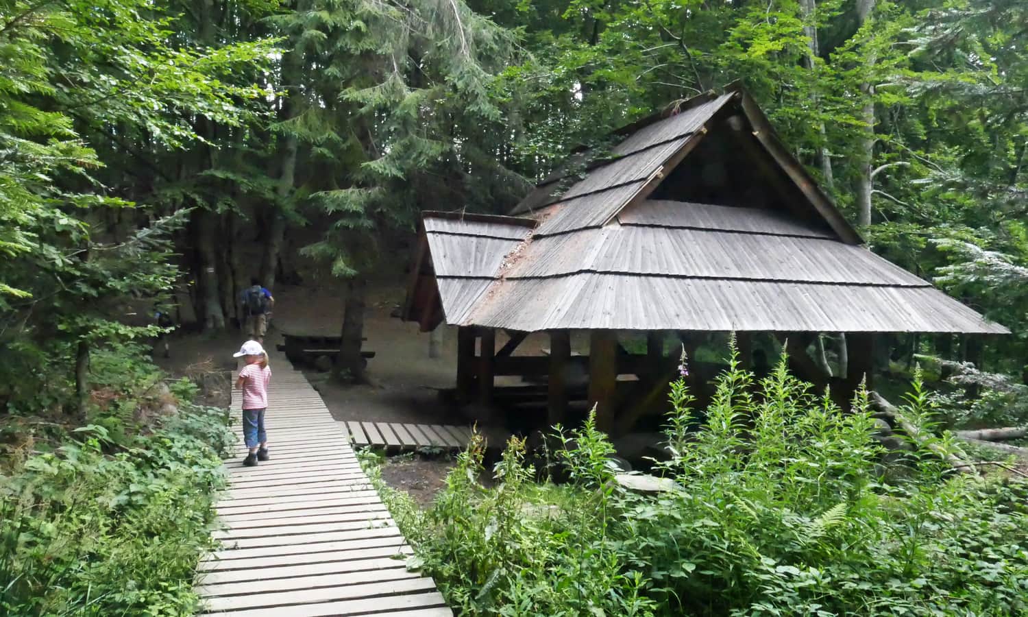
From this point on, we hike through the forest, and let's not hide it - we climb! A bit on wooden walkways and steps, but mostly on roots and stones. We have to overcome almost 500 meters of elevation gain to reach the pass.
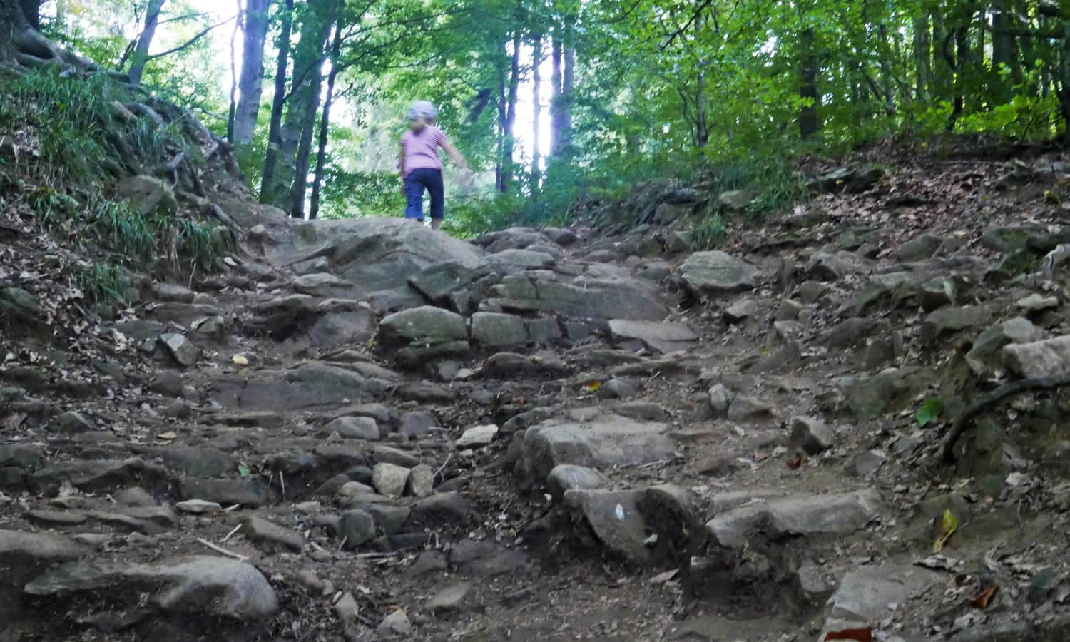
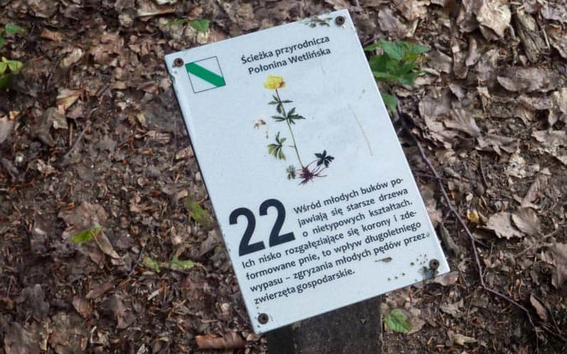
It can be challenging, but there are also places where the path levels out. An additional attraction on the trail is the educational path signs. Interestingly, they are small and placed low, so you have to look carefully not to miss them! In our case, it was a pretext for playing the game of finding the next numbers.
We can plan a longer break in the shelter under the rocks, where the yellow hiking trail intersects with the horse trail. From there, it's only about 15-20 minutes to Orłowicza Pass!
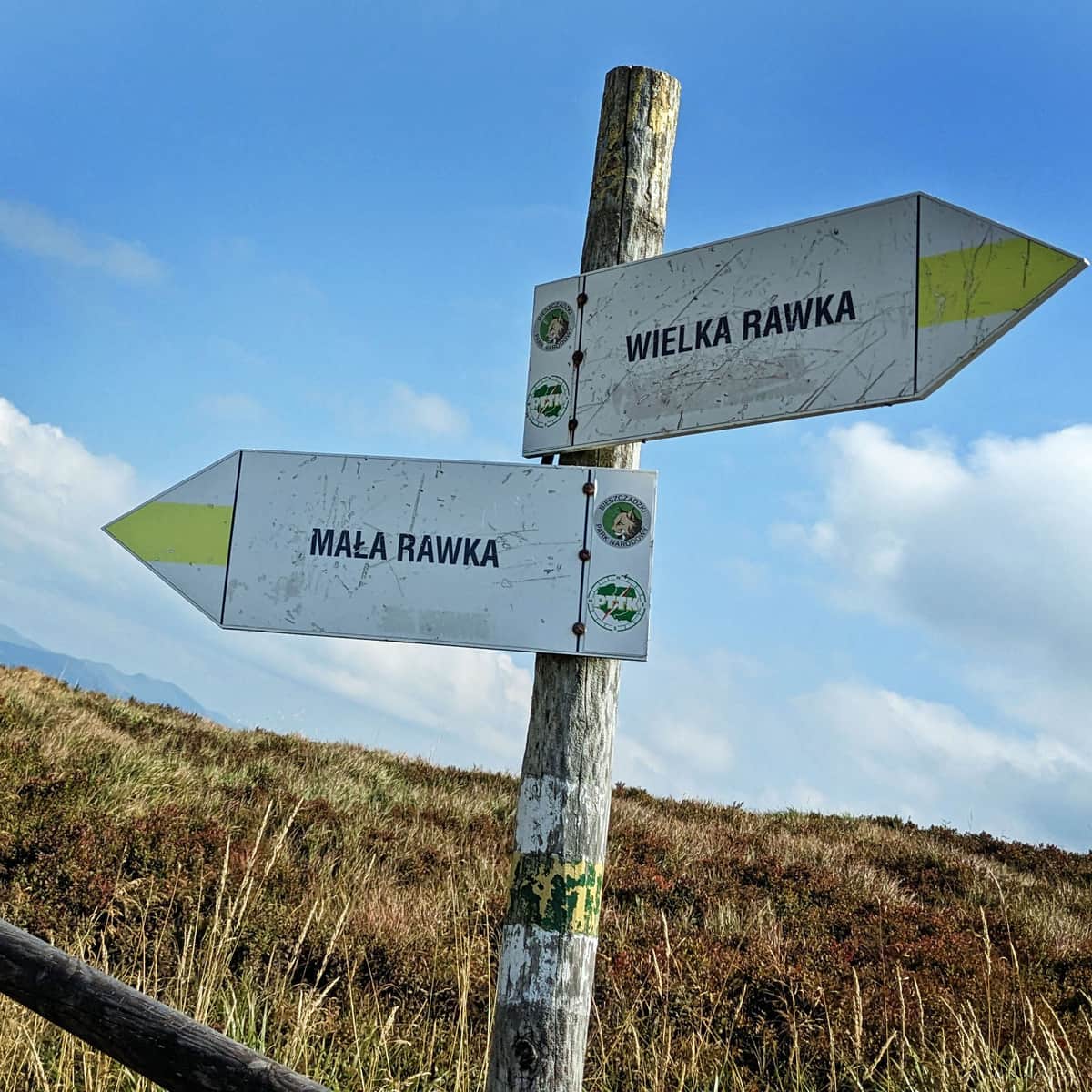
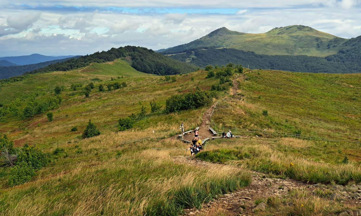
Orłowicza Pass, 1095 meters above sea level
Just before the pass, we come out onto a field of rolling grass and the views begin, which will compensate for our previous effort! It will be even more beautiful at the pass itself. It's worth stopping at one of the benches, although it can be very windy here! Even on hot days, make sure to bring windbreakers with hoods and something secure for your head (caps with visors tend to fly away far into the world!).
From Orłowicza Pass to Smerek
From the pass, it's only about 20 minutes to Smerek. Compared to the ascent we have behind us, it will be a pleasant stroll, and with views! We still have about 100 meters of elevation gain to overcome. The path, either stone or paved, gently ascends, and sometimes goes along a flat ridge.
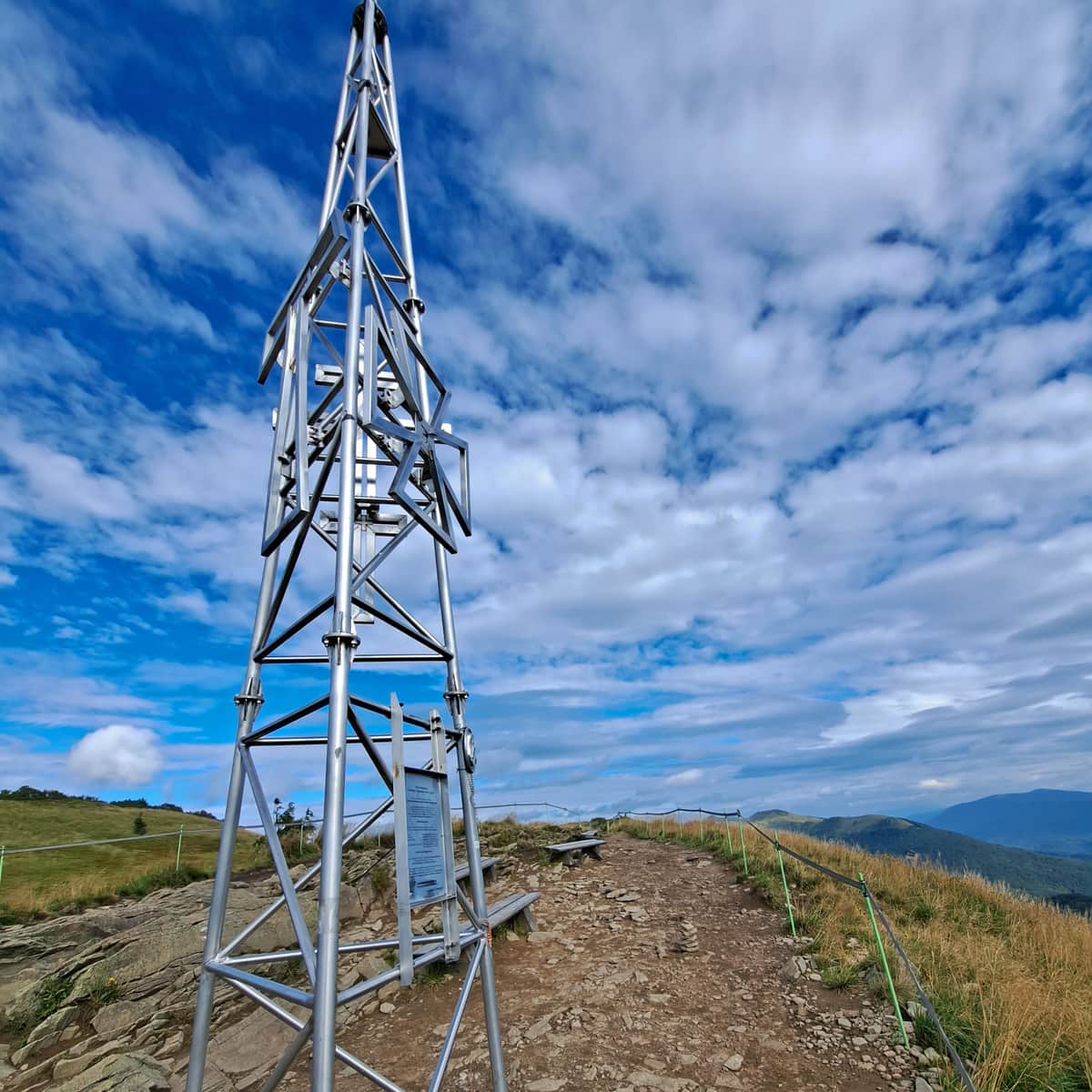
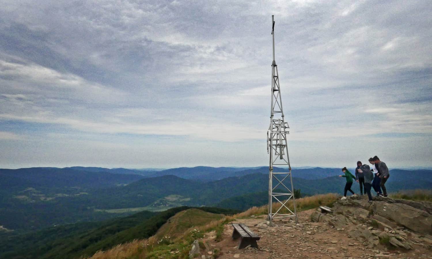
Smerek - summit, 1222 meters above sea level
On the summit, there are benches, a cross, and a well-deserved rest.
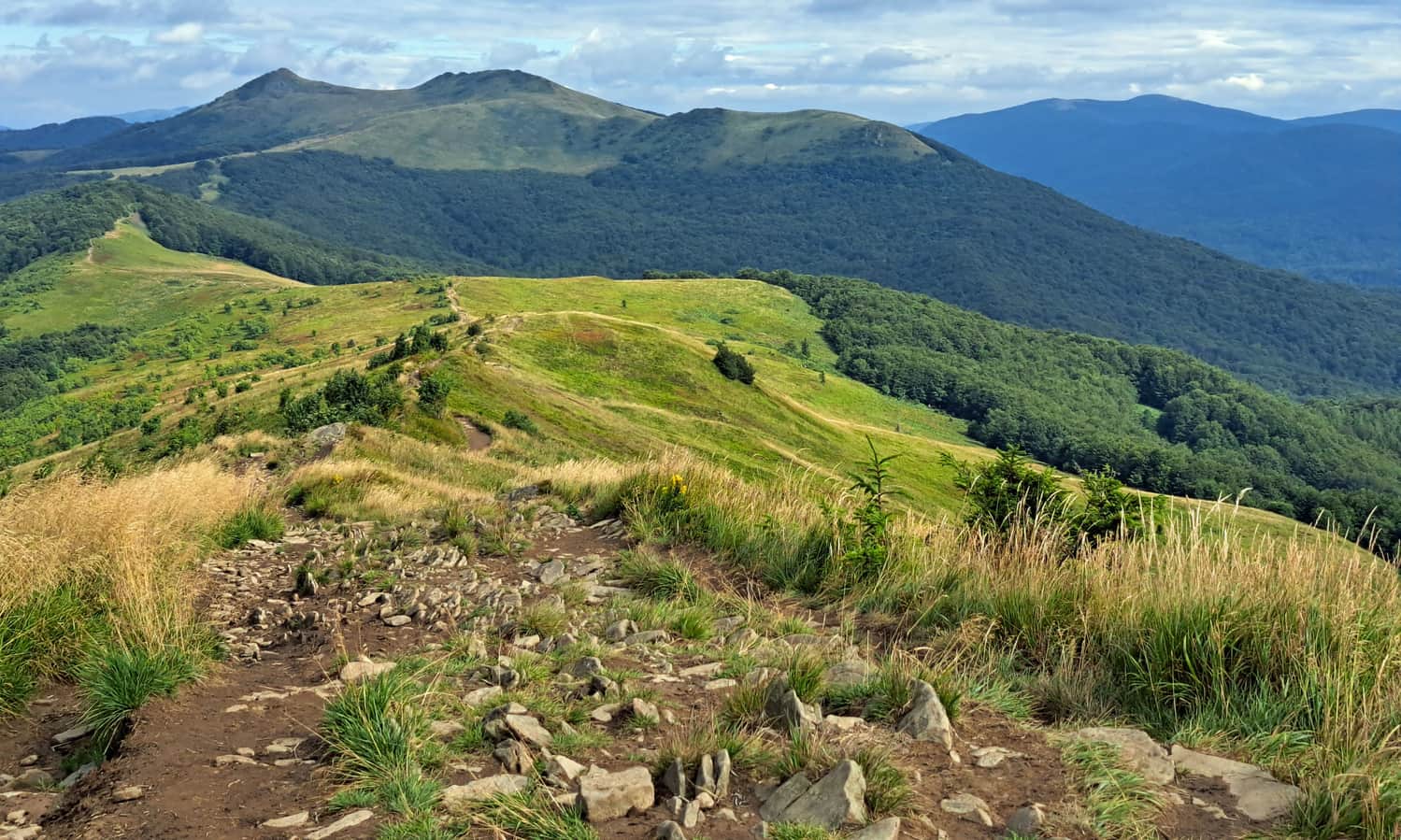
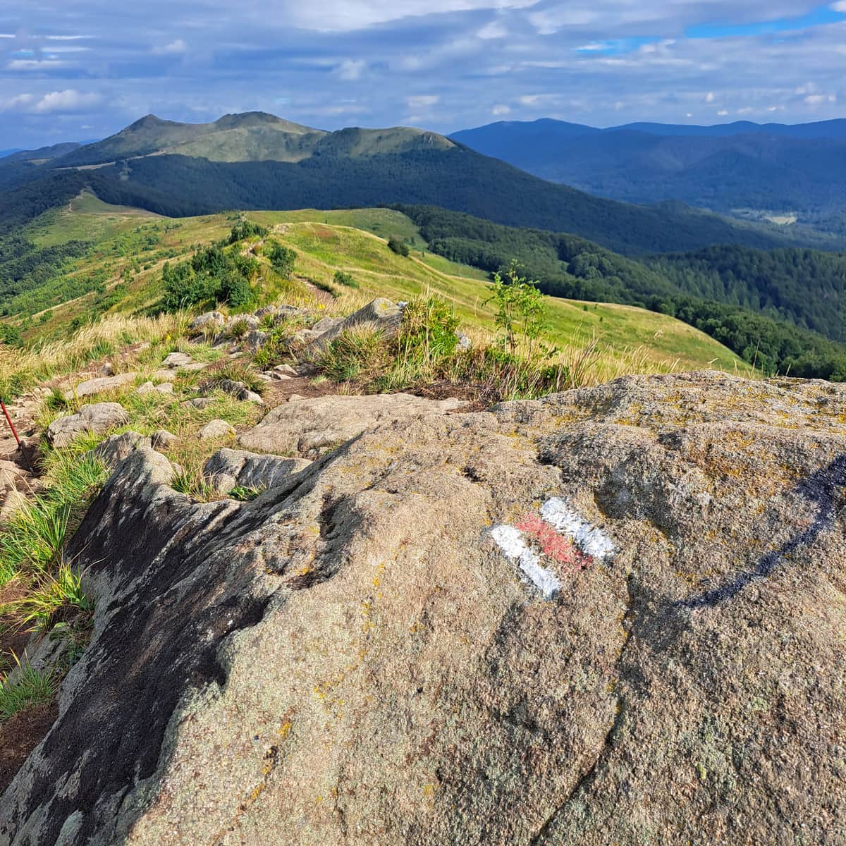
If we descend the same route on the way back, we will enjoy a beautiful panorama of the entire ridge of Wetlińska Polonina, Hnatowe Berdo, Osadzki Wierch, and Roh. Under good conditions, we can even spot Caryńska Polonina and Tarnica beyond them. On both sides, we are accompanied by neighboring ranges stretching far beyond the horizon...
It makes you want to keep walking and walking endlessly, or at least to "Chatka Puchatka"! Read about our further hike along the ridge of Wetlińska Polonina!
Medium
Walking along the Wetlina Polonina ridge - Wetlina loop

Other trails to Smerek
We can also reach Smerek via the red trail from Smerek, the black trail from Jaworzec, or the yellow trail from Zatwarnica.

Publish Date:
Last Updated:
More in the Region Bieszczady (Bieszczady)